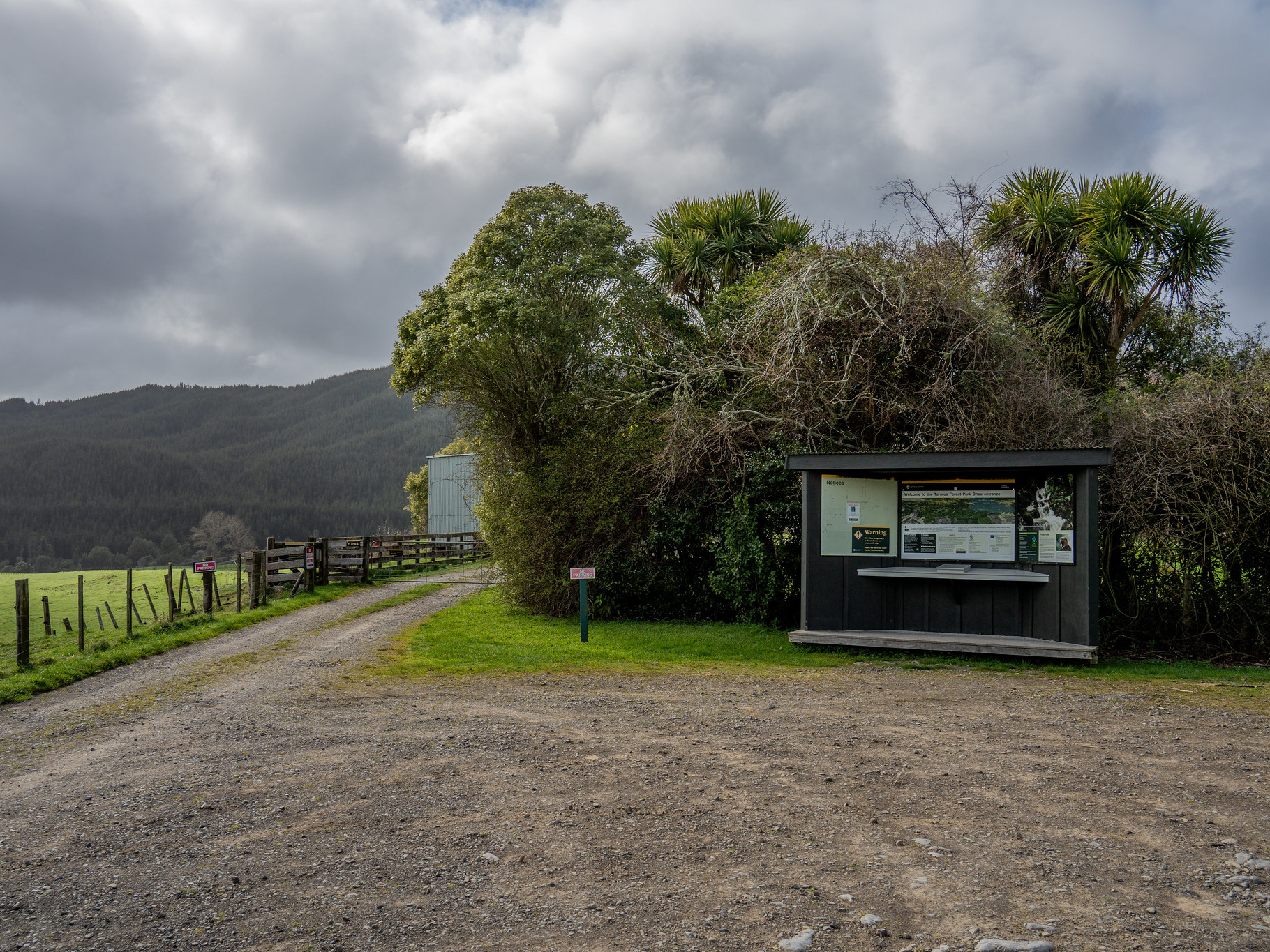
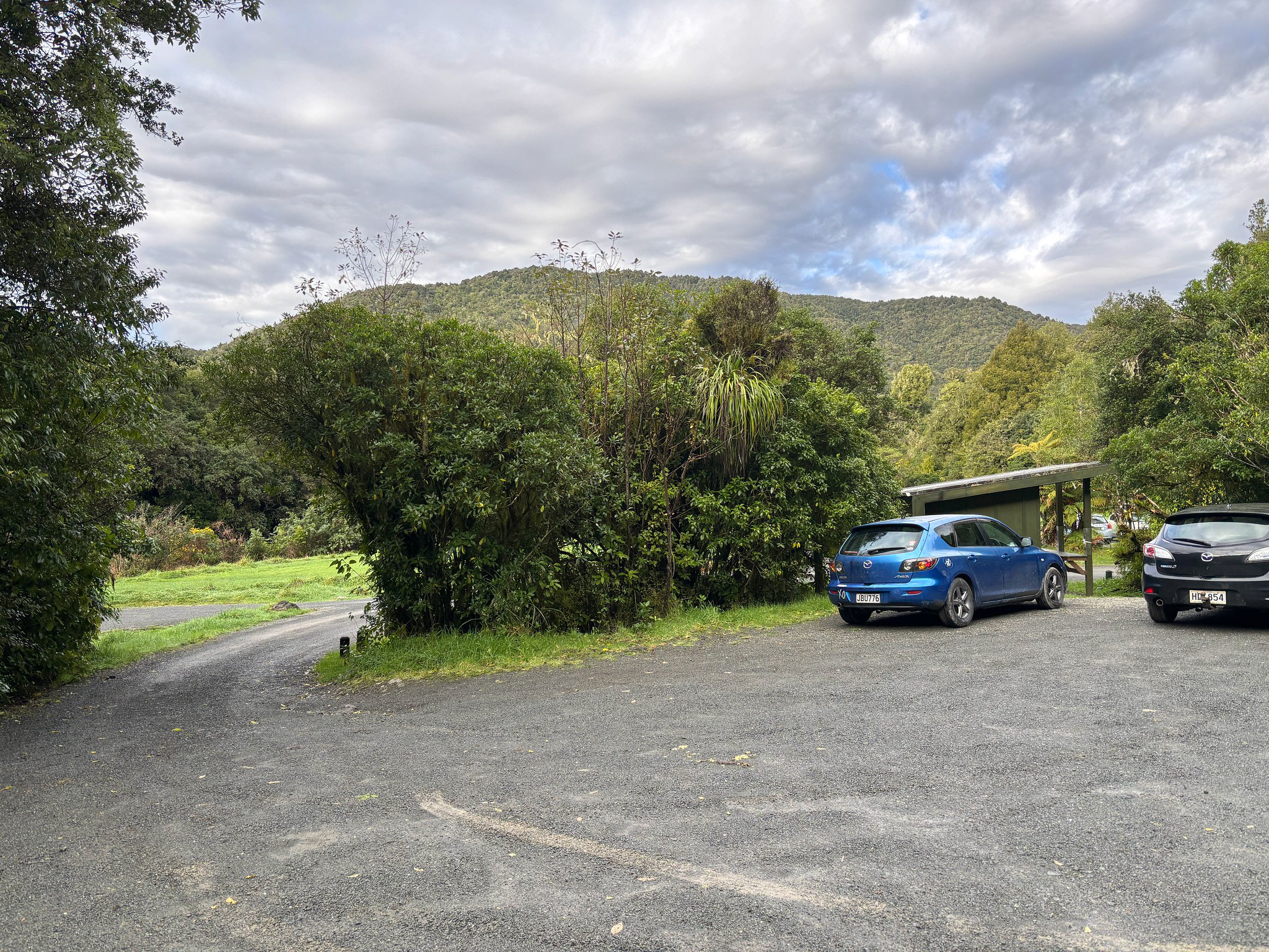
North Mangahao Biv is the northernmost of the DOC huts in the Tararua Range. It's not a super popular hut, and to be fair, that's for good reason. A good hut to tick off, but not one I'll be returning to anytime soon.
The hut itself is an old NZDA 2-bunk biv, and historically had easy-ish access from the east utilising a good track that runs off Kopikopiko Road. That track still exists as far as I'm aware, but the first km or so runs through private farmland and it's not clear how readily access is granted. There is a 2023 blog post which reports the owners were accommodating if approached in person, but also a bit of literature online asking people not to post the landowners' contact details. With that, like most people I endeavoured to come in from the west.
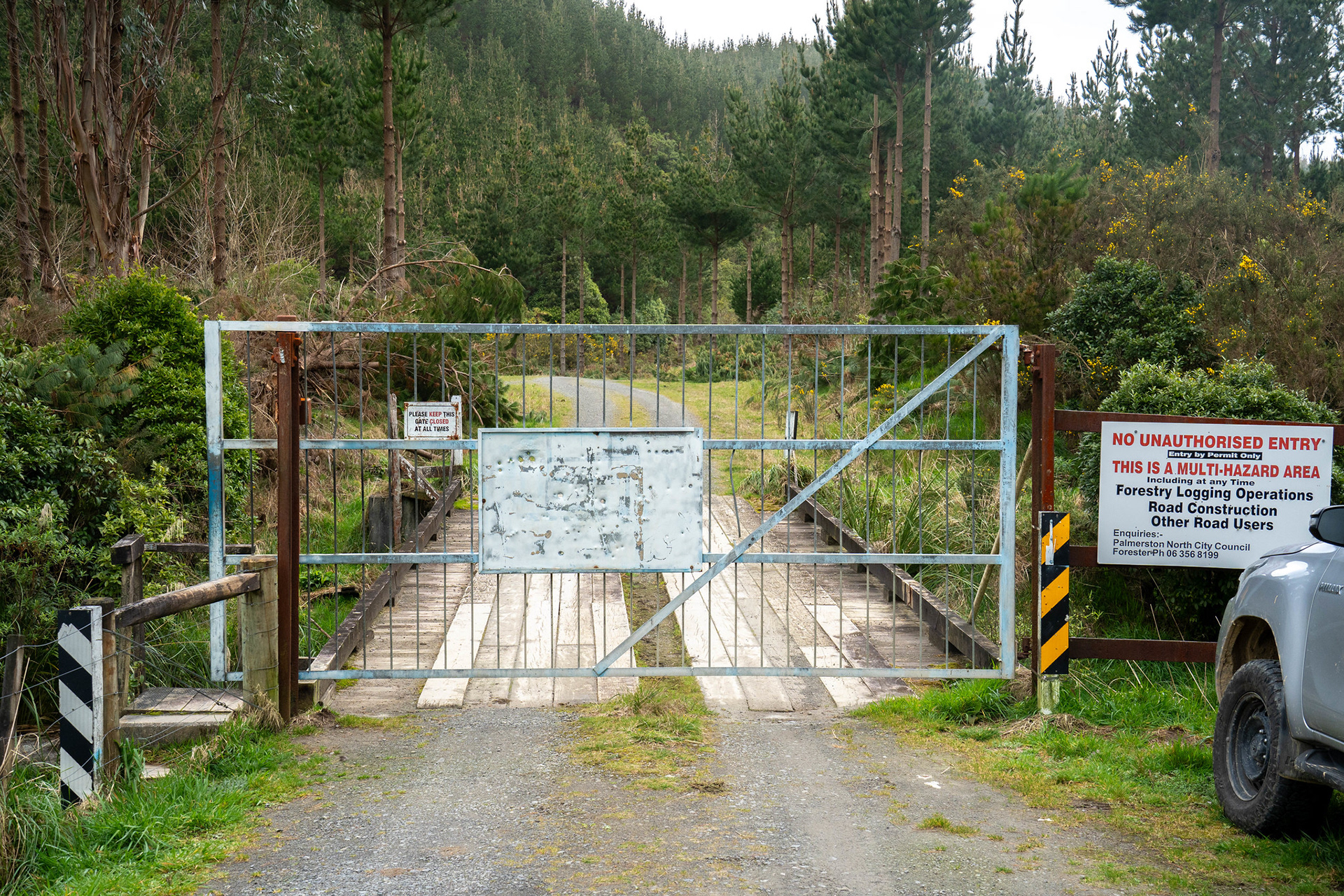
This route is not fully tracked, and it's quite a tough affair in places. It starts on an offshoot of Scotts Road, which is in decent condition albeit quite windy. The actual locked gate which stops further vehicle access is earlier than I was expecting, perhaps 500m beyond the junction with the Arapuke access road. It's apparently possible to get a key for this, which would save you around 4km of road walking each way.

The locked gate on the access road.

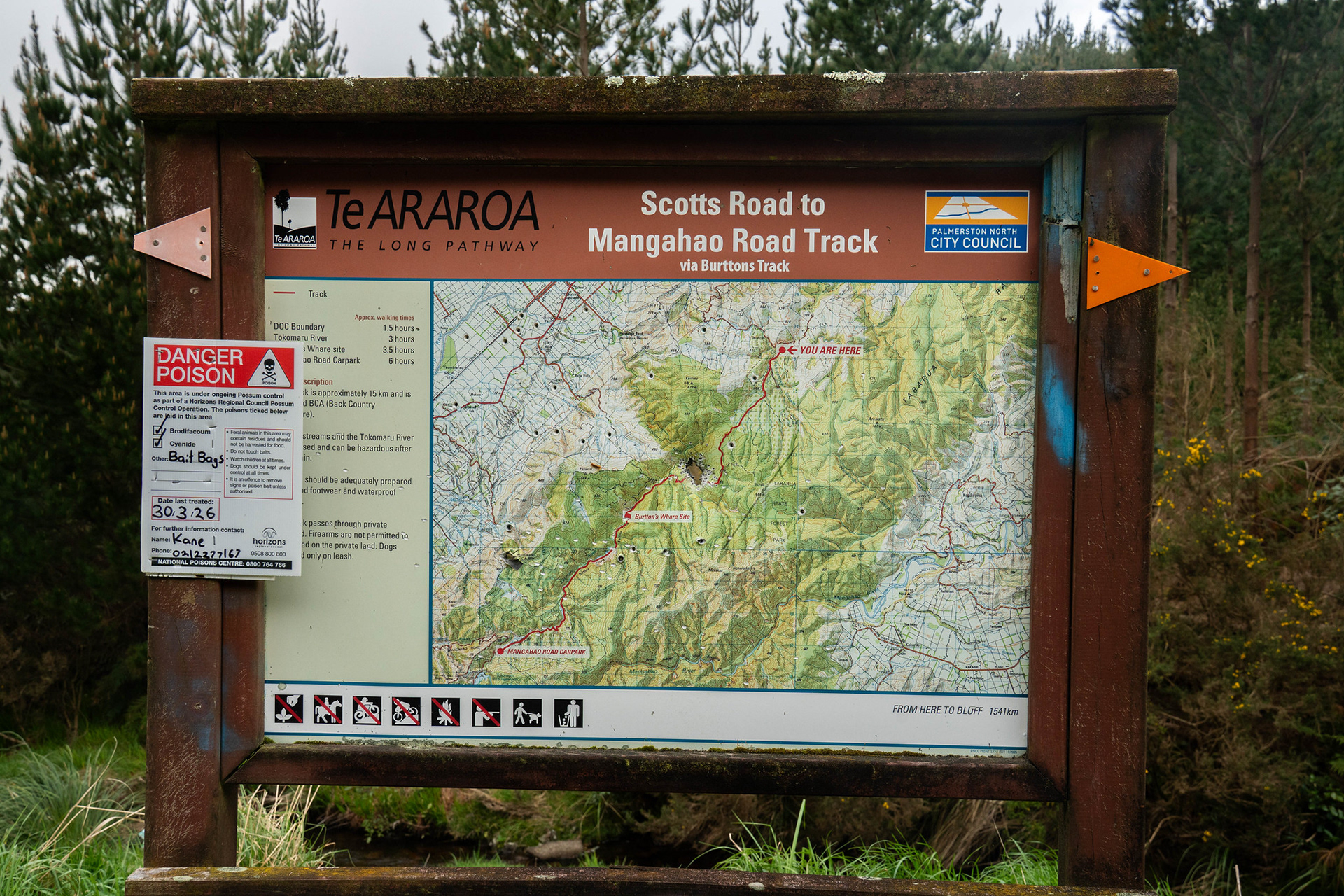
There is a signage board adjacent, though this is the sort of route you'd probably want to research before reaching the carpark. The sign itself has a not-insignificant amount of bullet holes and fly tipping seems commonplace on Scotts Road, I probably wouldn't be leaving valuables in your vehicle.

Some helpful TA signage to see you right.

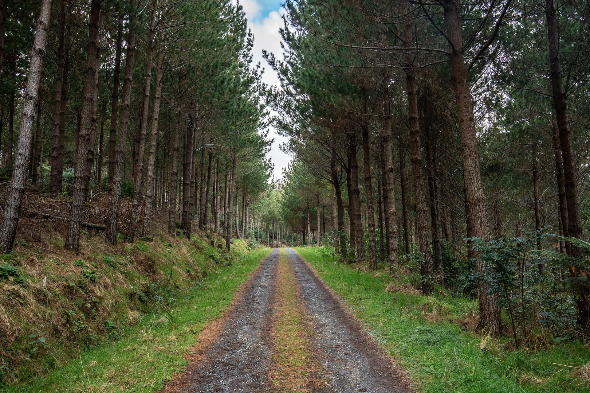
Beyond the locked gate, it's time to start experiencing the joy of road walking. I don't know if it makes it better or worse that the road is in great condition, but can understand the council's reluctance to allow unfettered vehicle access to their forest.

Ticking through the pine forest.

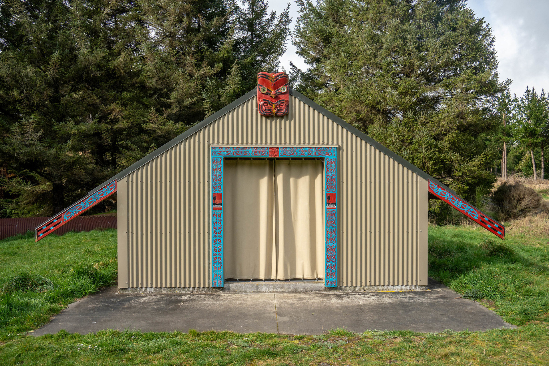
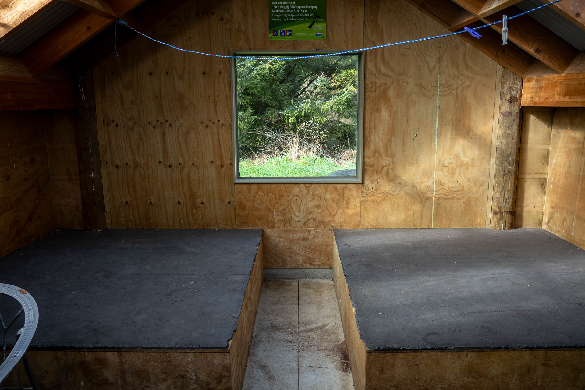
Just under 2km in, there's a campsite and shelter largely built for TA walkers. The shelter (Te Whare o Moturimu) is neat, a couple of slats with a protective curtain in lieu of a door.

The exterior of the whare, built by the council in 2019.

Along with the interior.

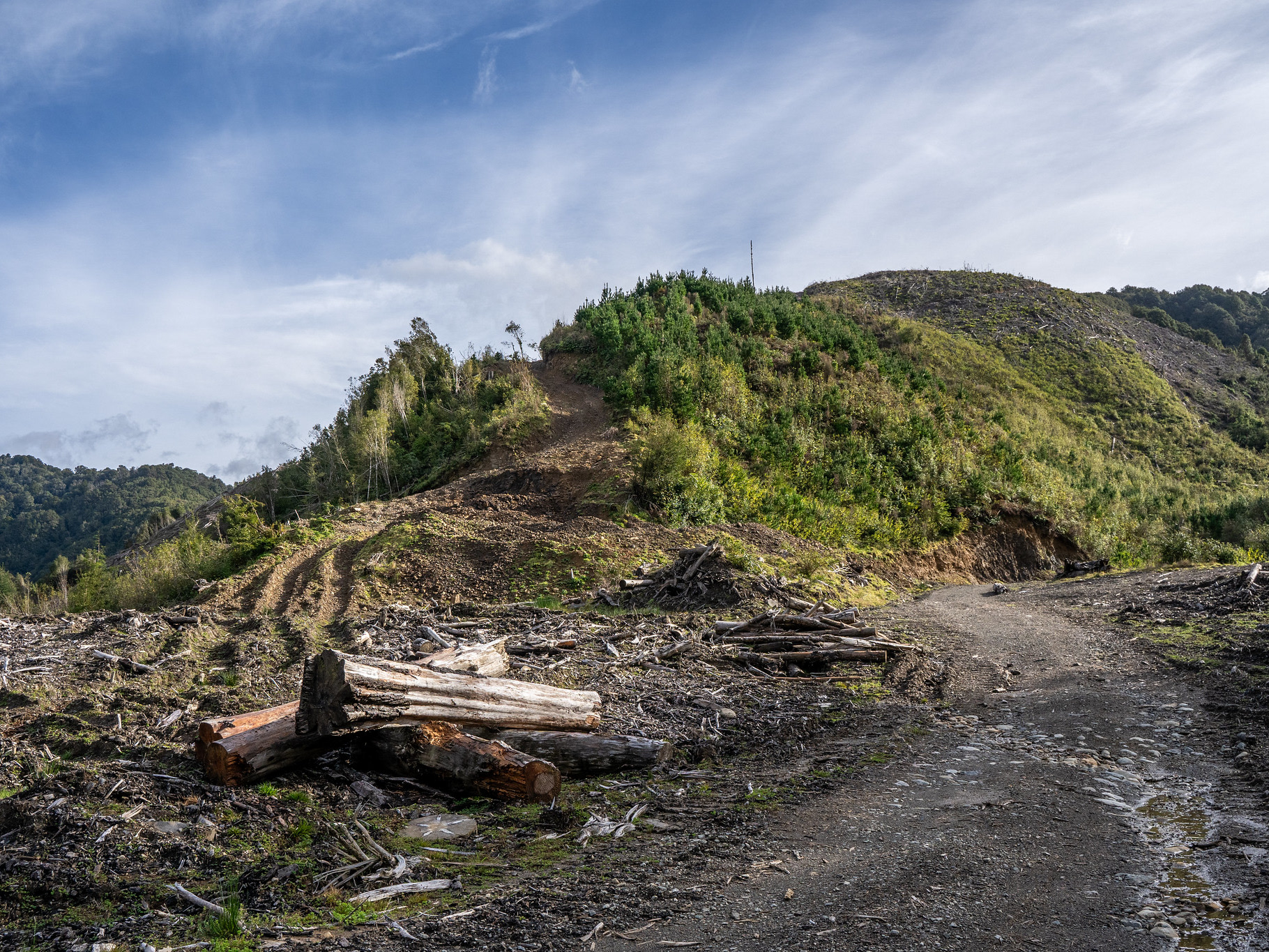
Beyond the whare, the route continues to follow forestry roads. There's a GPX overlay at the end of this post which shows the way I went, but at the time of writing, it just involves following the main road you come in on and then turning right onto Scrub Ridge Road. It basically follows the eastern of the two marked 4WD tracks that converge near pt. 686, the road is immaculate until an upper skid site around 500m at which point it becomes more of a foot / quad bike trail. At the high point of the marked track, there's a clearing with a small unmarked foot trail heading off into scrub.

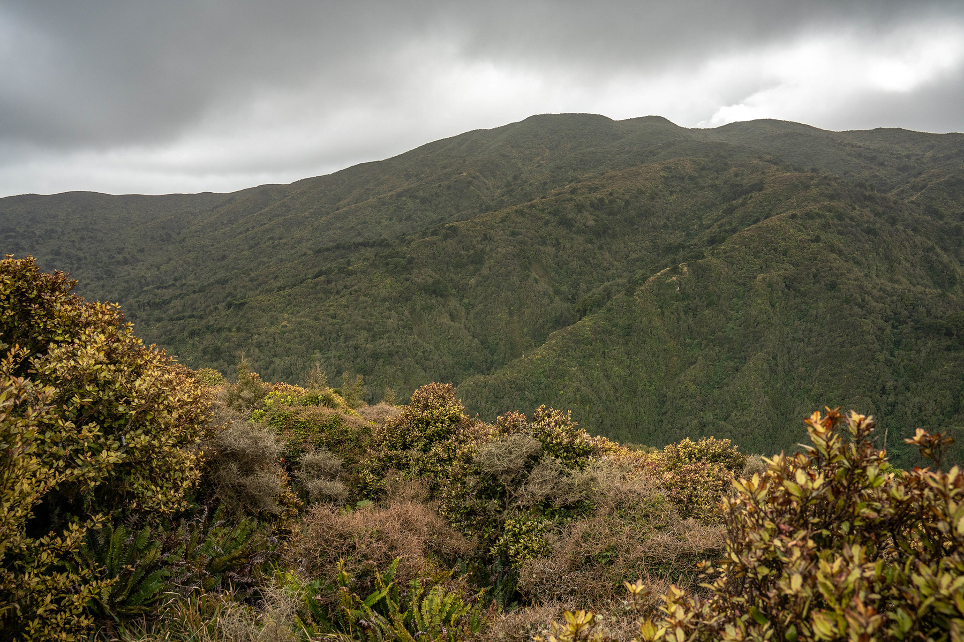
A view up towards the pt. 686 ridge.

The end of the road, and the start of the walking track.

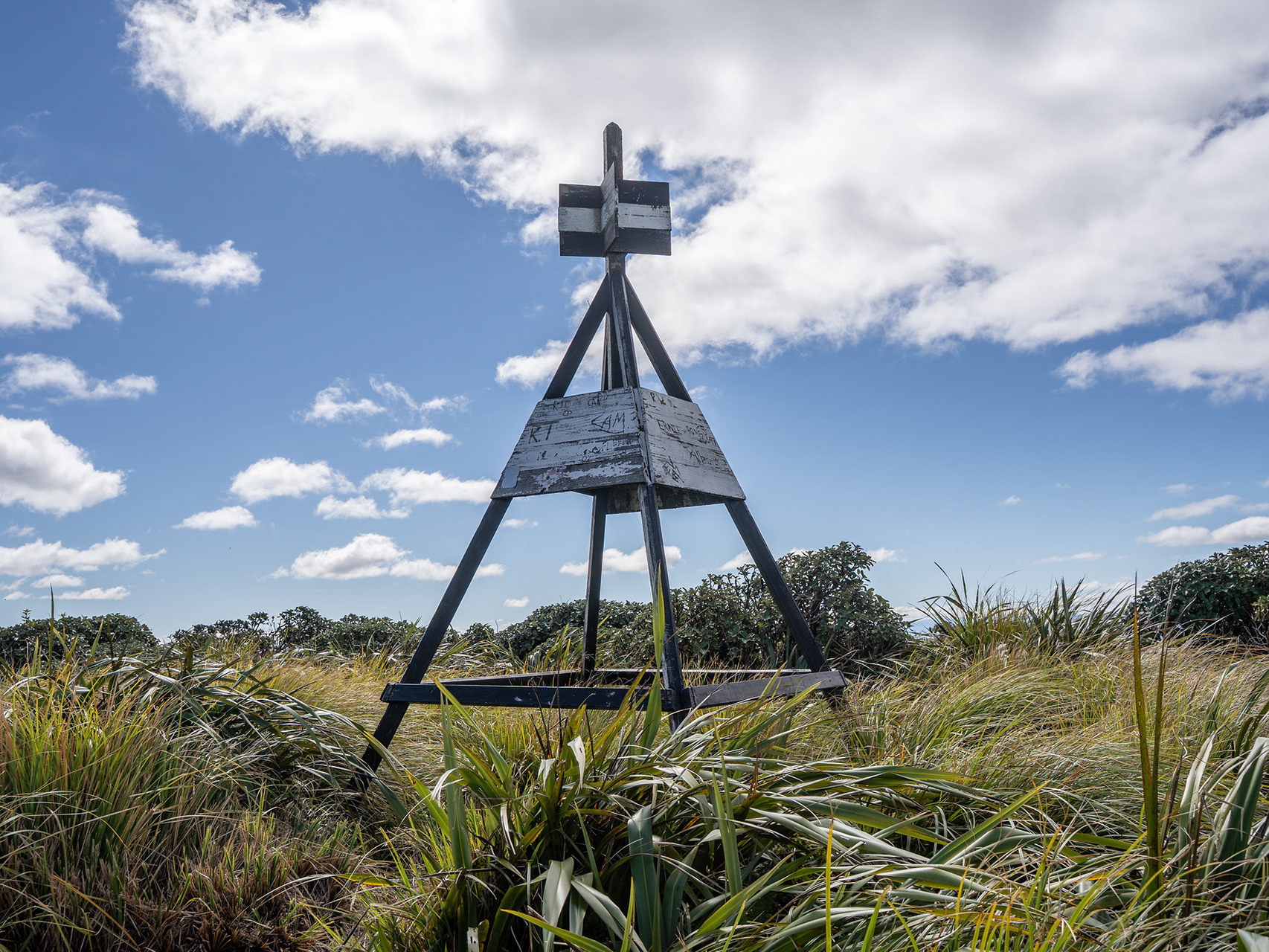
The route through here is not marked, and at times it's a bit ambiguous. A combination of sporadic false trails and the fact that the main trail is quite encroached means care is needed, but it's never too problematic. There's a mixture of canopied bush and open scrub, it heads over pt. 686 and then broadly follows the ridge crest towards pt. 782.
About half way across, the route turns hard right and drops towards Punga Hut. This section is unexpectedly marked with orange DOC triangles, though the trackline is not on topo maps nor is Punga an official DOC hut. Nevertheless, it's mostly good going except at just above 600m where the track just disappears. There were bootprints heading straight but they seemed to lead to just open bush, but I resorted to a somewhat obscure piece of technology (the Strava heatmap) which showed that most people we heading to the right. I trended that way and eventually picked up the trackline once more - on the way back, it became apparent a large windfall has wiped out the top entrance. There is an old piece of flagging tape which seems like an unlikely route choice, but it's the correct way to go.

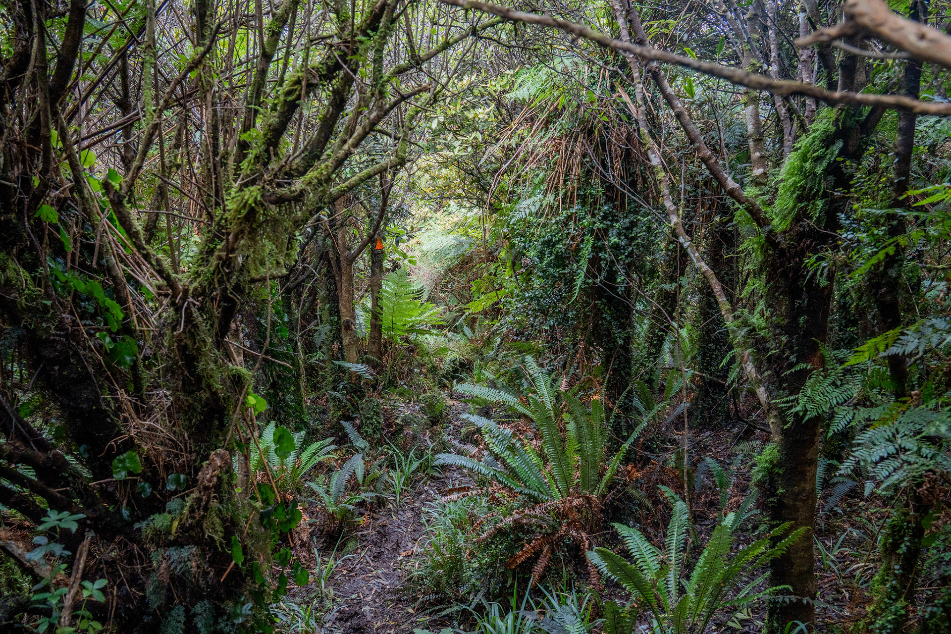
Dropping down towards Punga Hut, the vegetation and trackline improves further down.

The bush (and track) open out as the valley floor is reached. It can be quite contorted at times, even though the face is shallow there are a lot of twists and turns for reasons not completely clear. Nonetheless, the stream is easily crossed and Punga Hut soon appears. This was built in the 1950s as a hunting hut, and has seemingly been left alone despite being well known and even marked on the topo map.

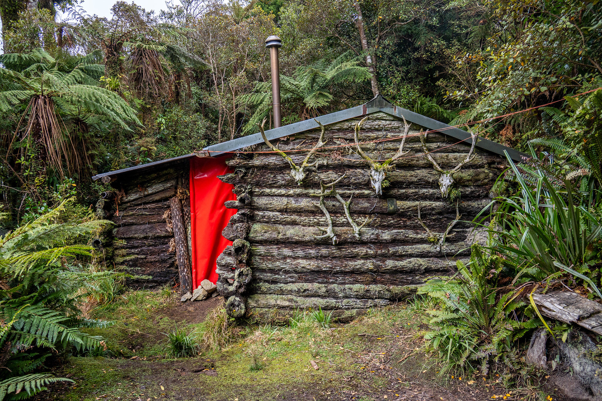
Punga Hut.

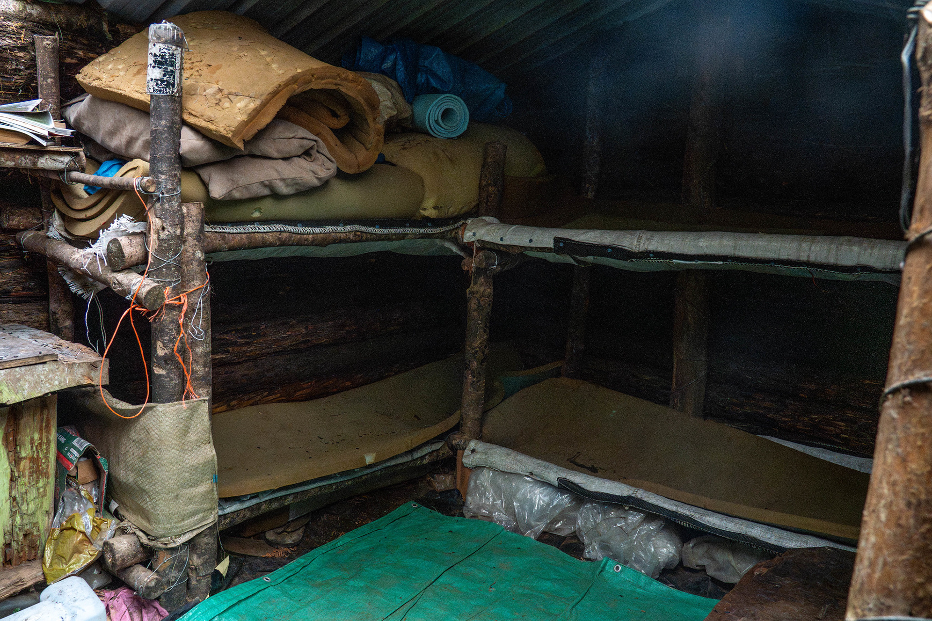
The interior of Punga Hut, certainly has character (along with rodents).

I signed the hut book, which confirmed that there were two hunters in the catchment. That was a little unnerving, to be honest - I've had overwhelmingly lovely experiences with hunters, but it's a riskier situation than most as they're hunting deer under canopy (rather than in clearings and slips) which makes target identification more complex. In addition, the valley is largely untracked and not visited that often, so perhaps less expectation that noises in the bush might be of the human variety. Those worries proved to be for nothing, and I didn't end up seeing them at all.
Beyond the hut is where the routefinding gets a bit messier. There are lots of stories online, both of the good (an alleged 'superhighway' which runs from Punga Hut to North Mangahao Biv) to the horrendous (6 or 7 hour slogs in scrub to cover the couple of km). There are sporadic hunting trails including one coherent which runs near the creek for the first few hundred metres from Punga Hut, before climbing up the prominent spur on the true right just before the creek gets involved.
Beyond that initial section, it's all a bit disparate and I would suggest broadly hugging the 540m contour and deviating up and down as necessary to avoid the thicker undergrowth and scrub present. Flagged lines do exist, but they generally don't have ground trails and are really just marking lines through open bush. Some of the side creeks are quite incised, and it's generally worth chasing the shallower contours to avoid steep and difficult drop ins. There are more creeks than shown on the map, as you might expect from the obvious gullies.

Open forest travel with reasonable ground trails soon after Punga Hut.

The first half of the face is mostly open and easy, but there is sporadic supplejack and bush lawyer which is unpleasant. Further on, the western aspects of the spurs (starting around BN34 2028 0906) begin getting scrubby and slow. Dropping to around 500m would probably avoid the worst of this, but then you're dealing with steeper faces and sharper creekbeds so there's not really any straightforward solution.
It's a bit of a laborious sidle, balancing the physicality of confined terrain while trying to pick local lines of least resistance without losing the contour. The terrain doesn't really lend itself to anything other than GPS and altimeters, an awkward face cut by frequent minor spurs and few useful features to handrail off. I took a gamble around BN34 2054 0908 and headed up the eastern side of the spur that radiates roughly NNW from near the biv, banking on the terrain being open enough to justify the direct approach in lieu of following the better vegetation all the way down to the gully that houses the biv.
It probably wasn't the worst decision. There's minor scrub that needs to be crossed to actually gain the spur, but from there it's possible to largely follow the somewhat open bush up keeping the obvious line of horopito visible on the spur crest to the climber's right. Satellite imagery or a good GPX file helps to avoid further scrub at around 560m, but around BN34 2067 0896 there's no way to avoid a short scrub bash. It's mercifully short at least, but getting the line wrong here and ending up in protracted scrub would be ugly. Another option which apparently takes a similar amount of time is to simply stay low all the way to the hut gully, and climb up from there.

Looking back to horopito / coprosma scrub [picture taken on the return leg].

Beyond the scrub, contouring right leads back to open bush. The biv was only 300m away, but even navigating from there was awkward. It's necessary to sidle just above the initial scrub to avoid entering even more scrub, but some of the bush is quite steep. There's a flagged line which climbs above the biv's elevation, only to then turn left and descend to the creek. I pottered around for a few minutes with the GPS trying to actually find the building 20 or 30m away, which proved surprisingly difficult. Eventually I found the 10m of track which leads off the true left of the creek and to the biv, which is helpfully painted camouflage green. 

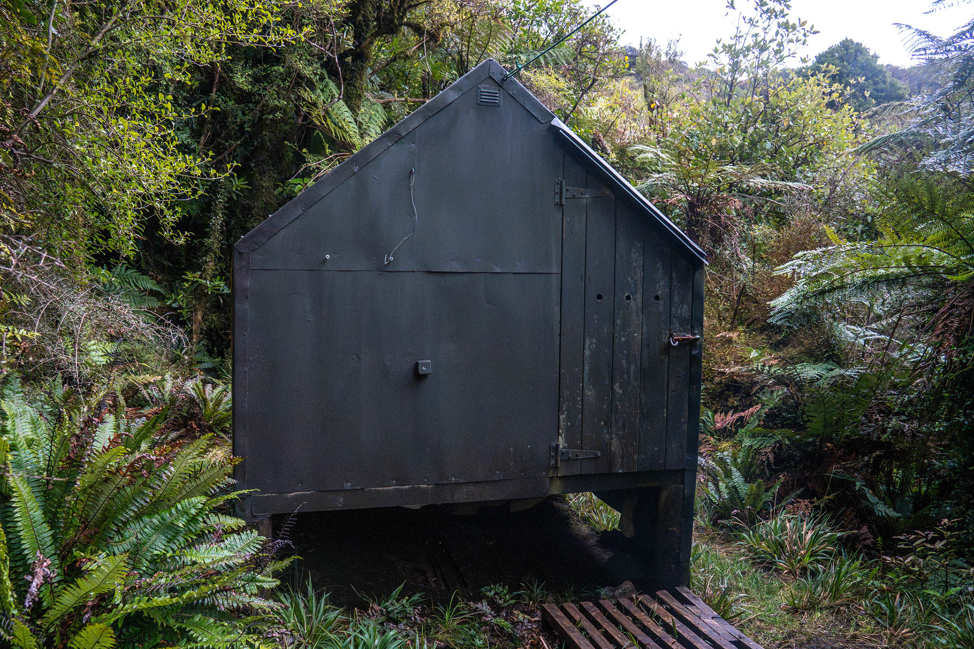
The mythical North Mangahao Biv, it seems like everything possible was done to make it hard to find.

Despite the somewhat sardonic tone of this trip report, the biv itself is neat enough. It's pretty compact for its two inhabitants, but it does have a toilet and feels snug amongst otherwise featureless forest. It seems broadly weathertight, and would be a cool spot to rot away a day or two when civilisation feels like a bit too much.

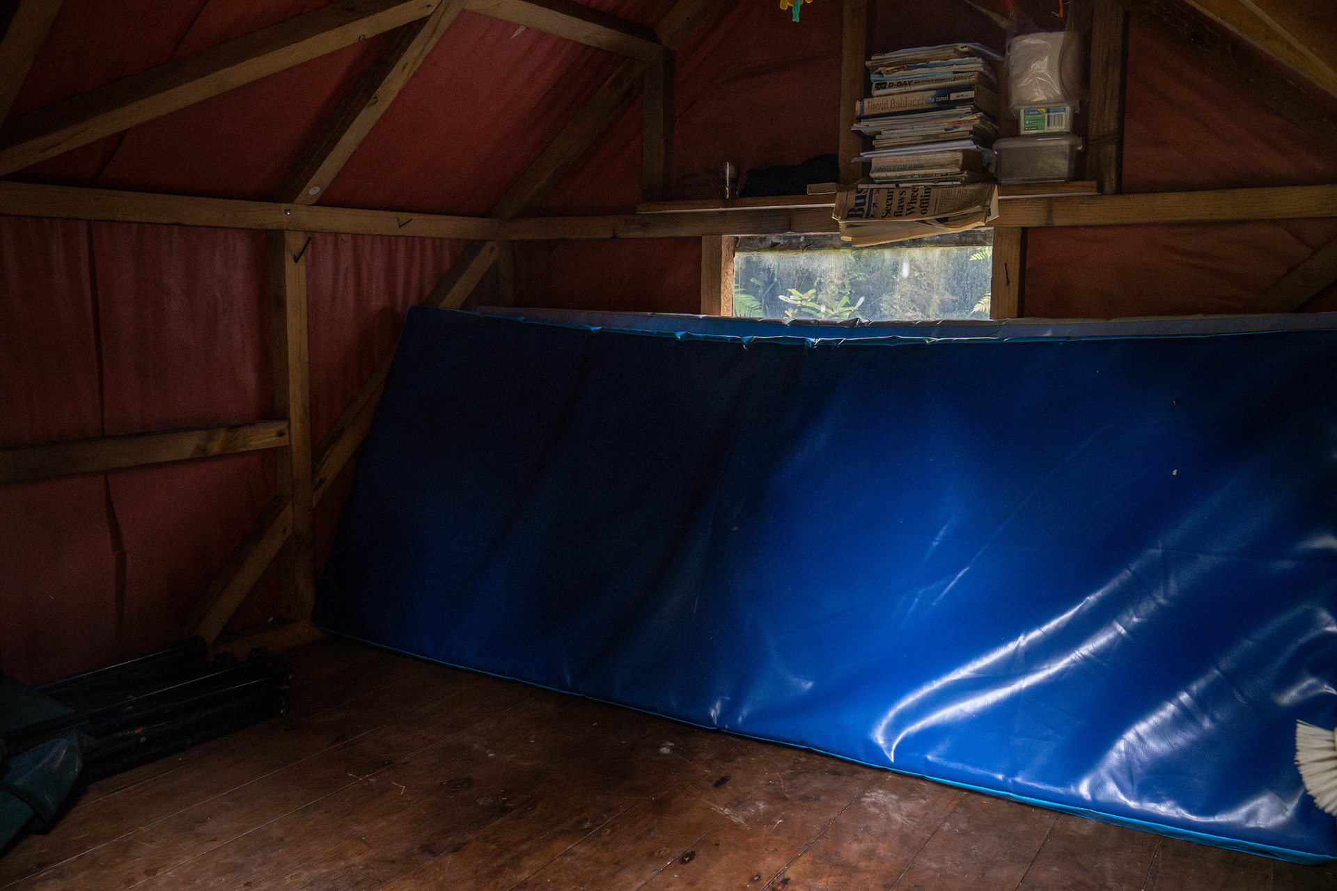
The interior of the biv, a lovely and snug build.

I had a read of the hut book, which showed the biv is mostly visited by hunters. It's probably patronised more often than the internet would suggest, with a couple of entries a month. For decades, there has been talk of the so-called superhighway, a cut and marked track which offers quick and easy travel for those sufficiently blessed to locate it. Does it really exist in such a form? Probably not. A recent hut book entry mentions using a GPX file to follow the highway, and said it still took 1.5 hours with some untracked travel. It's good going in context, but still around 1kph and of similar duration to parties which simply bash through at circa. 540m.
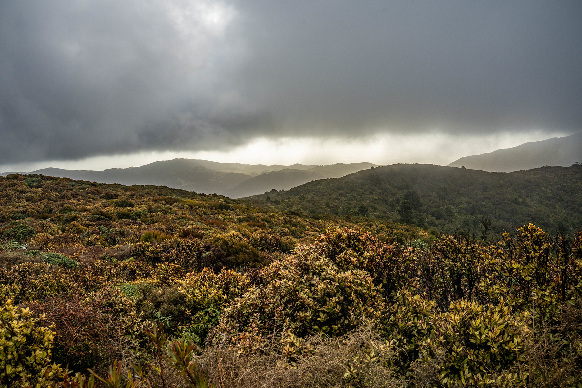
It had taken a bit over 3h of walking (plus some stops) from the locked gate to reach the biv, so I had a quick lunch and then headed back out. There is apparently quite good travel down the gully that holds the hut, even with some allegedly tracked sections. I forewent that exploration though and just followed my approach strategy, curling back through the scrub and bashing back the same way I came. The only real point of note was the heavy squall that swept in, pouring rain and gusty winds. I had a rain jacket with me but didn't want to cut it up on the rough understory, and ended up with drenched pants from the sodden vegetation. The bigger concern was probably water-damaging my phone which I was using in lieu of a proper GPS, but fortunately everything held up and the rain drifted off. As I neared Punga Hut, I switched to using my watch to follow the outbound GPS trace and life was easy once more.
Beyond Punga, it was a boggy climb back up towards pt. 686 in the fading spring light. The ridge crest showed that the incoming front was upon us, absolutely howling. I had noted with interest that the altimeter on my watch had offset by around +15m across the course of the day, which I guess is consistent with the incoming low pressure deceiving the watch into thinking I was higher than I was. Perhaps something to be aware of if you're trying to hold elevation off a barometric altimeter.
The sun getting low in the sky, pt. 686 on the far left.

Back on the forestry tracks, it was 4km of uneventful travel back to the car. I was pretty tired by this point, it was the first trip I'd done in a couple of months and the day had been a smidge over 19km. The altimeter on my watch logged just over 1200m, the online digital elevation model about 900m - it's probably somewhere in between. Was it good to tick off the hut and get one step closer to visiting all of the DOC huts in the range? Of course. Will I be back? Probably not.

You may also like

↑Back to Top