Hector is one of the more renown peaks in the Tararua Range, despite not being the highest. It sits moderately prominent in the SW corner of the range, and in many ways serves as a counterpart for Mt Holdsworth a little to the east. It is perhaps most notable for three main reasons - representing the highest point of the Southern Crossing, being adorned with a memorial cross to honour trampers lost in WW2 and making it onto the list of the New Zealand Alpine Club 100 Great Peaks.
I've been in Palmerston North for just over 3 years now, and somehow had yet to visit Hector or even Otaki Forks. In my defence, the road access to the Forks washed out in 2021 and wasn't reinstated until late 2025, only to then get washed out again three months later and require further repair work. I had mentally noted that I should try to explore the area while access is still viable, and somehow decided that the first cab off the rank was to be Mt Hector.
I can't even remember why I decided it would work best as a day trip. There are a couple of other blog posts online about such a proposition, though specifics varied - it's apparently somewhere between 23 and 28km return, and 2000 - 23000m of climbing. For what it's worth, my GPS log recorded it as roughly 26.5km and 2150m of elevation gain. Estimated times sat between 5 hours (the fastest known time [FKT] on Wild Things) and 11 hours (tramping club trip report).
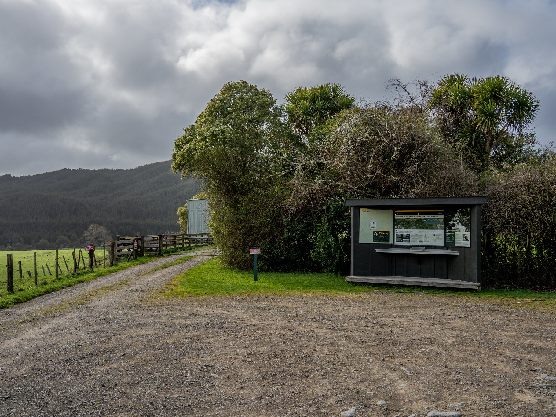
I set my alarm for a decent time, and then slept in anyway as is depressingly normal these days. After breakfast, I decided that I still had time to summit and keen to not waste the fine forecast, drove down to the roadend. There's quite a bit of parking by Boielles Campsite, along with flush toilets. It was about 10:45am which left me just over 6 hours of daylight, but I had a headlamp and figured that was worth more than all the social responsibility in the world. Someone has to be your biggest cheerleader, so why can't it be yourself?

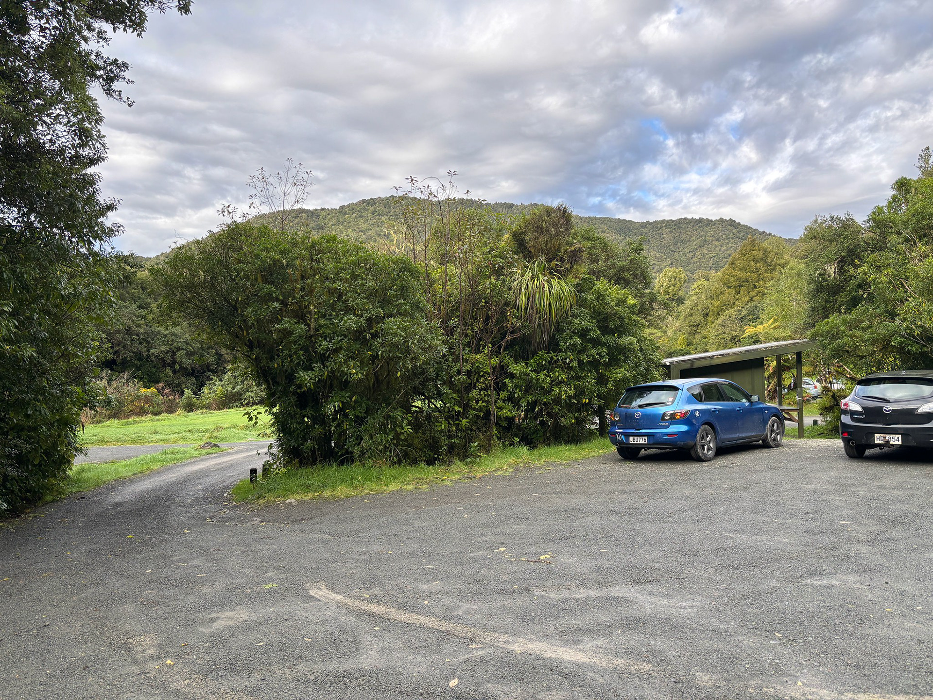
Phone photos only today - decent skies at the Boielles Campsite.
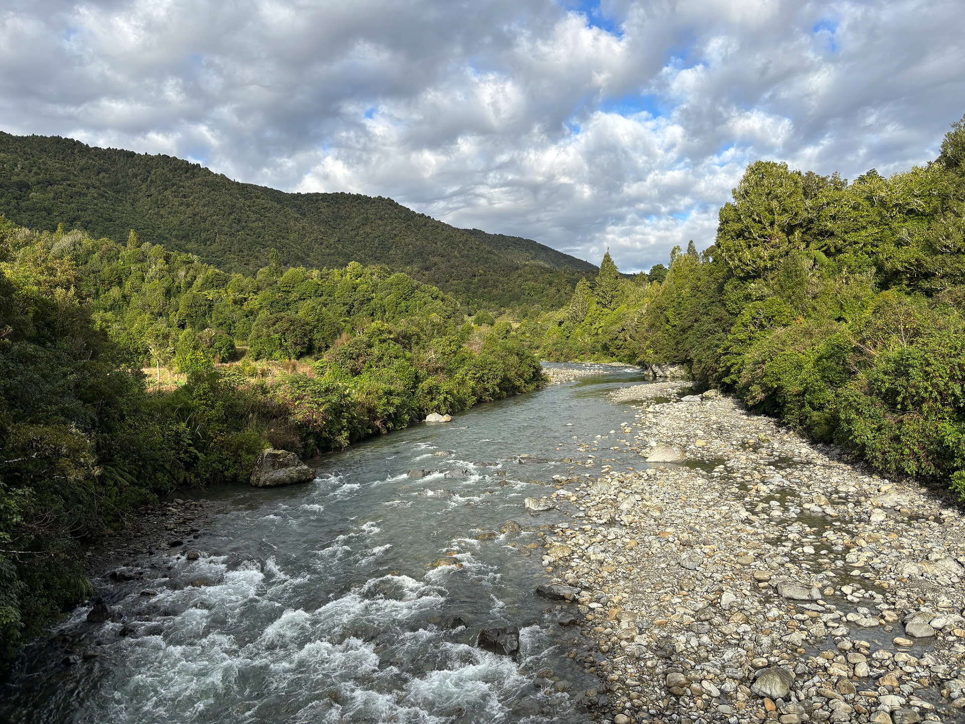
The initial route crosses the Waiotauru River and then takes an unexpected left hand turn to almost circumnavigate the toe of the ridge. It's possibly quicker to head towards Parawai Lodge and then bomb straight up the TA Trail, but the signposted route is easy nonetheless. The lower ridge is cleared, which gives quite nice views within a few minutes of heading out.

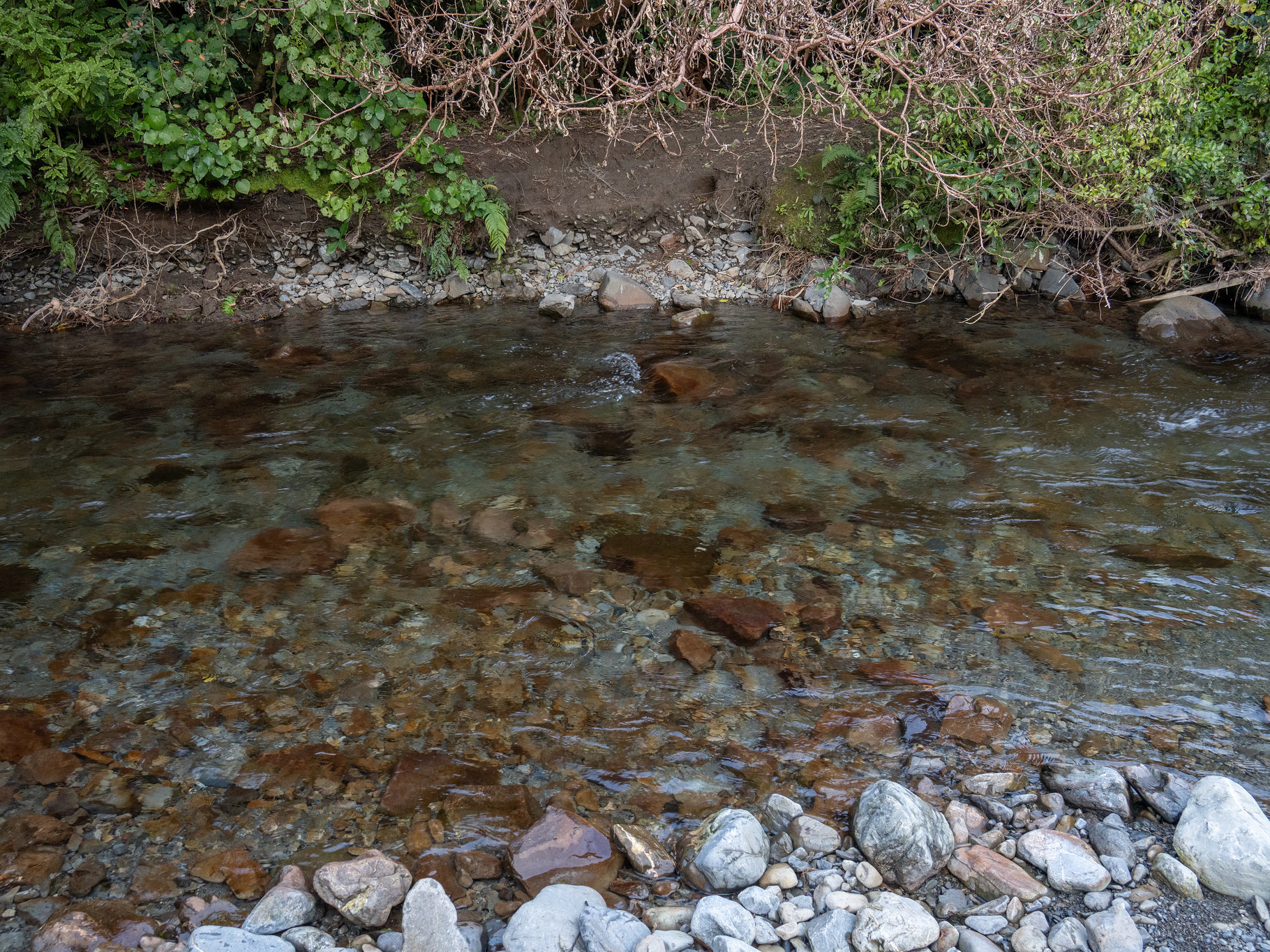
The Waiotauru River as is emerges from the range.
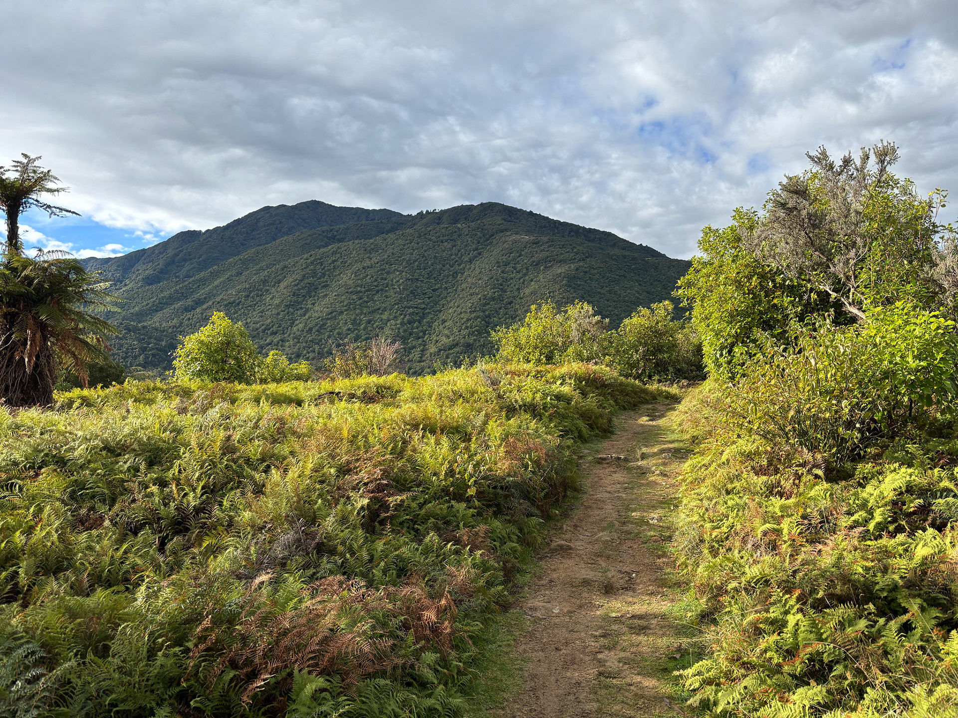
A manicured path amongst the ferns, looking up towards Waitatapia.
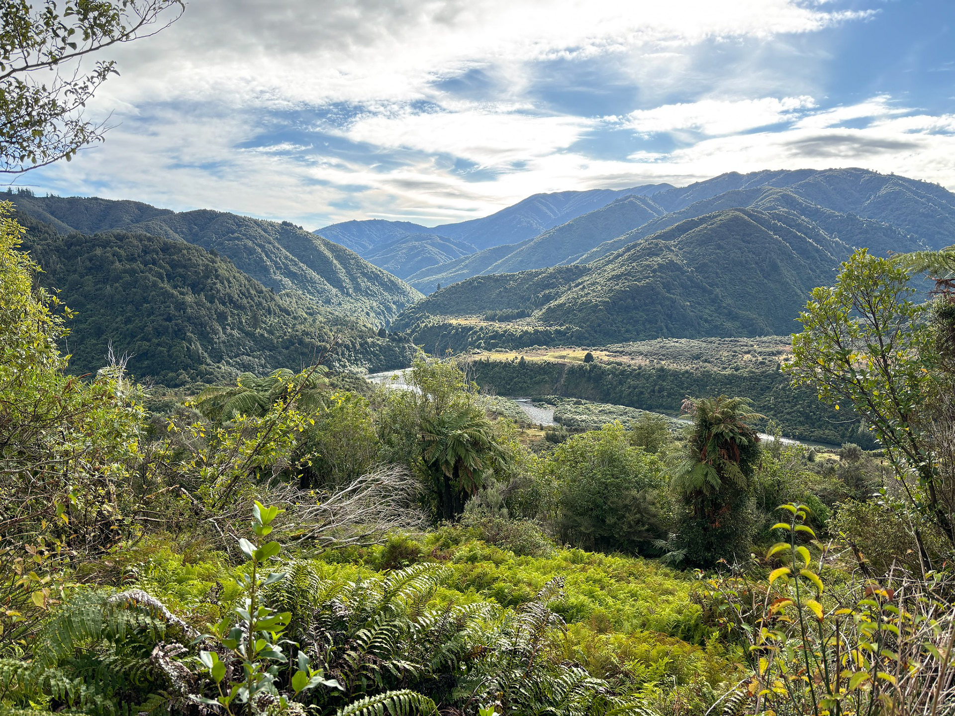
Down towards the Otaki / Waiotauru forks.
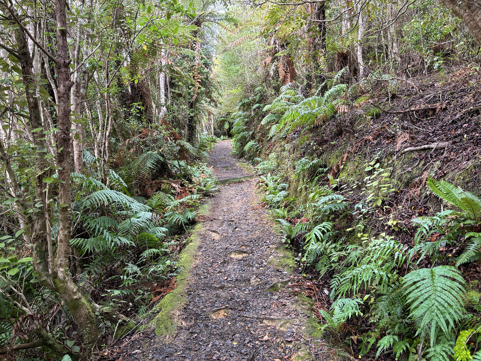
The route is easily followed to where the Arcus Loop meets Field Track, then the climbing steepens. The lower route is benched, essentially a quad bike track - about halfway up it transitions into more common Tararua terrain, some muddy benched travel and sections of root ladders.

The lower section of Fields Track, you'd definitely get a quad bike up there.
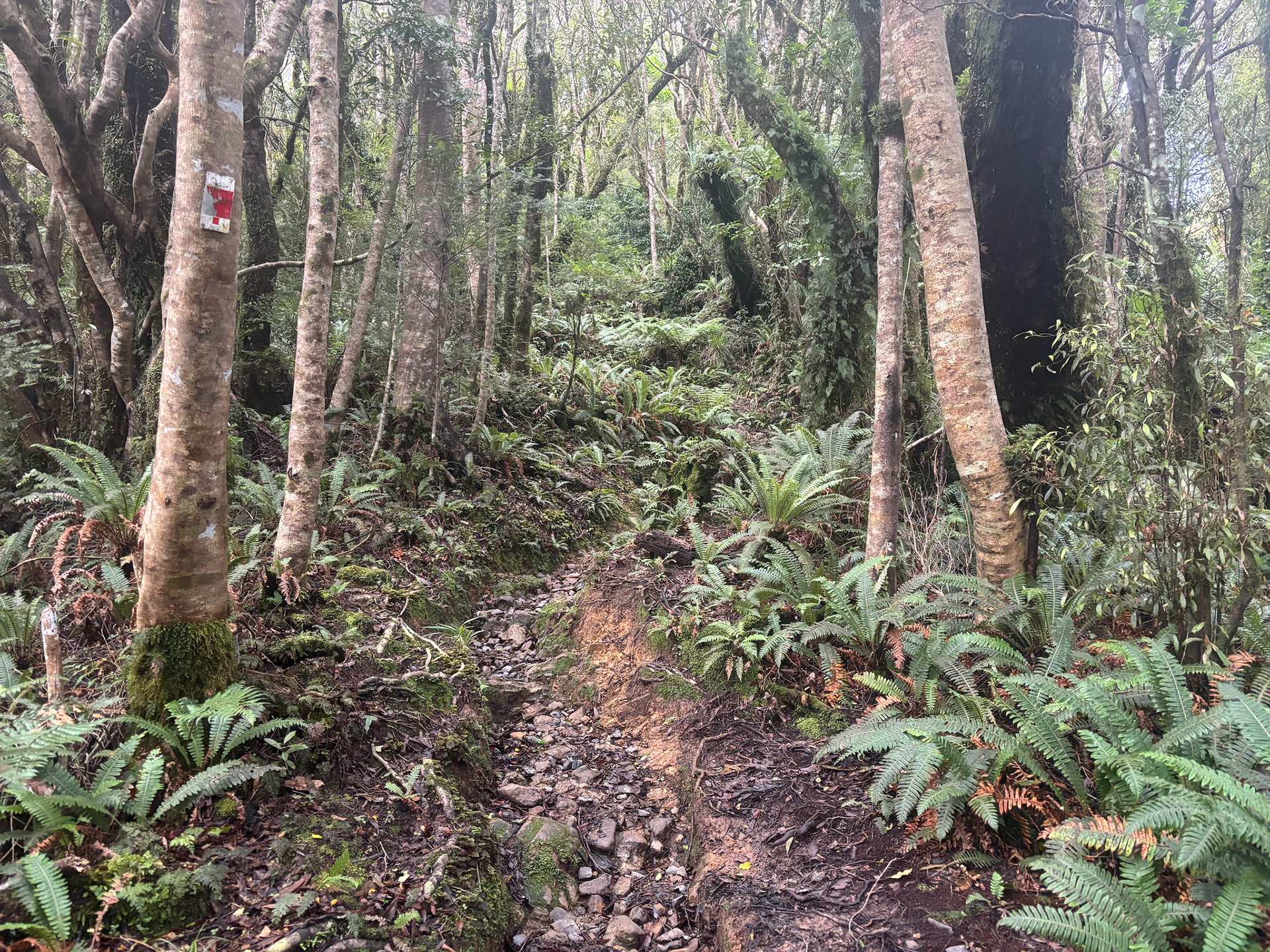
Getting a little rootier now, but the vegetation is lovely.
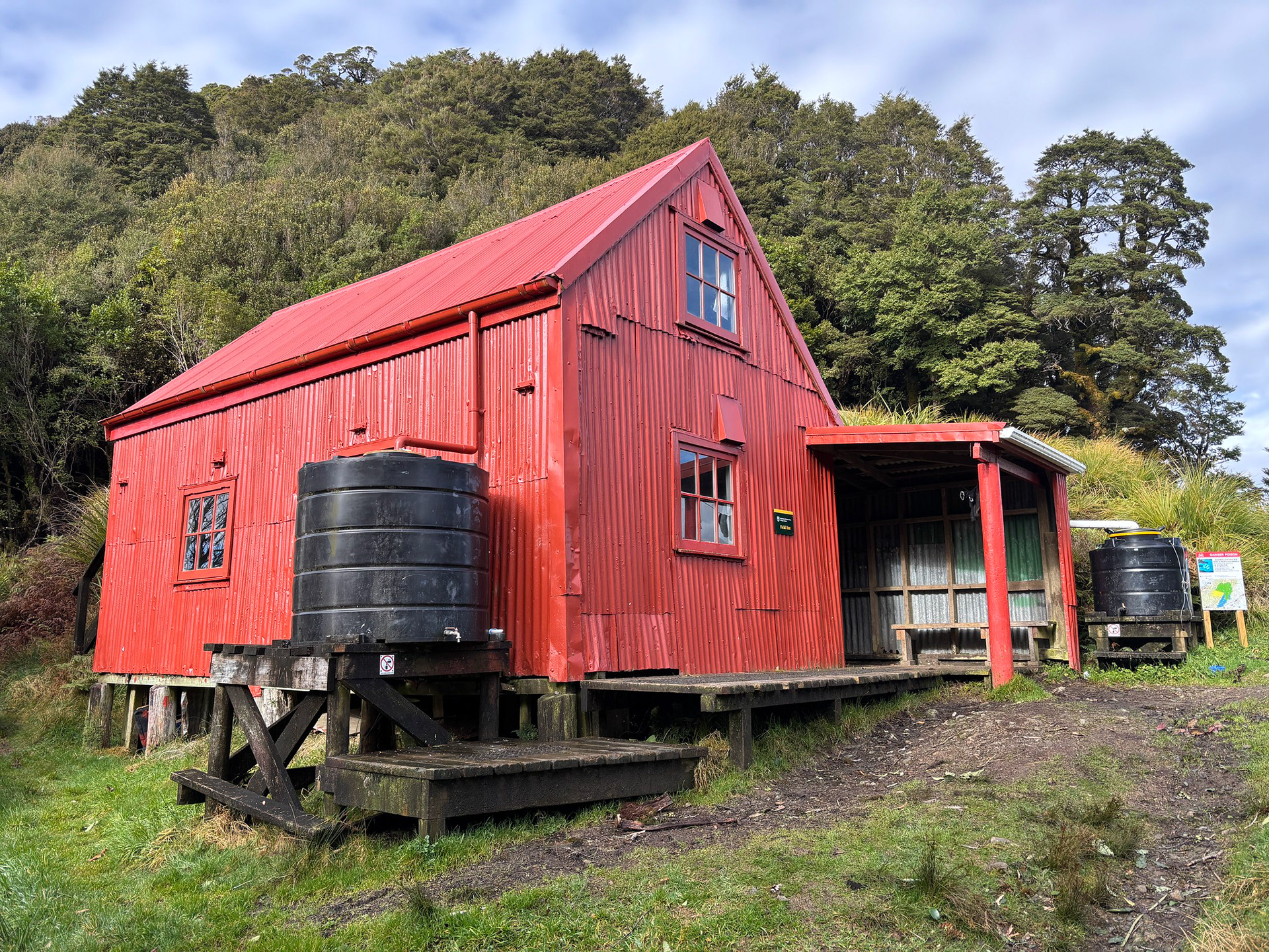
I largely just powerwalked the climb portion of the day, reaching Field Hut in just under 1:10. The DOC timing is 2 - 3h I think, it's about 7km and climbs about 800m. Field is the oldest hut in the park and has character, though apparently the water tends to taste very ashy. It has a concrete floor, and a lower bunk slat plus upper loft; 20 bunks in all.

Field Hut in its resplendent colours.
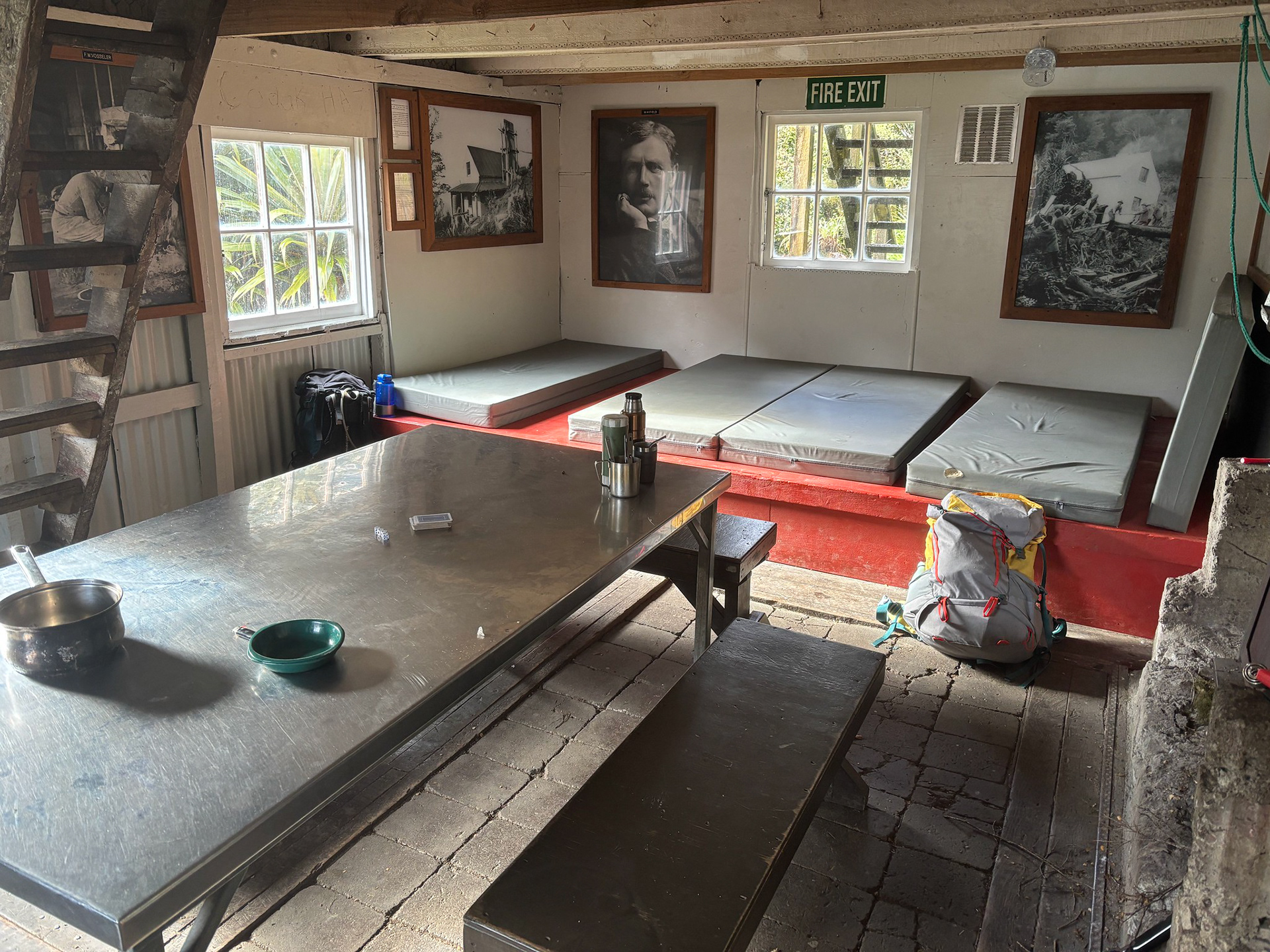
The lower section of Field Hut, lots of reading material.
Having signed the hut book and had my first snack of the day, it was onwards. The route reaches the bushline a few minutes after leaving Field Hut, then it's a somewhat boggy sidle under Table Top and 

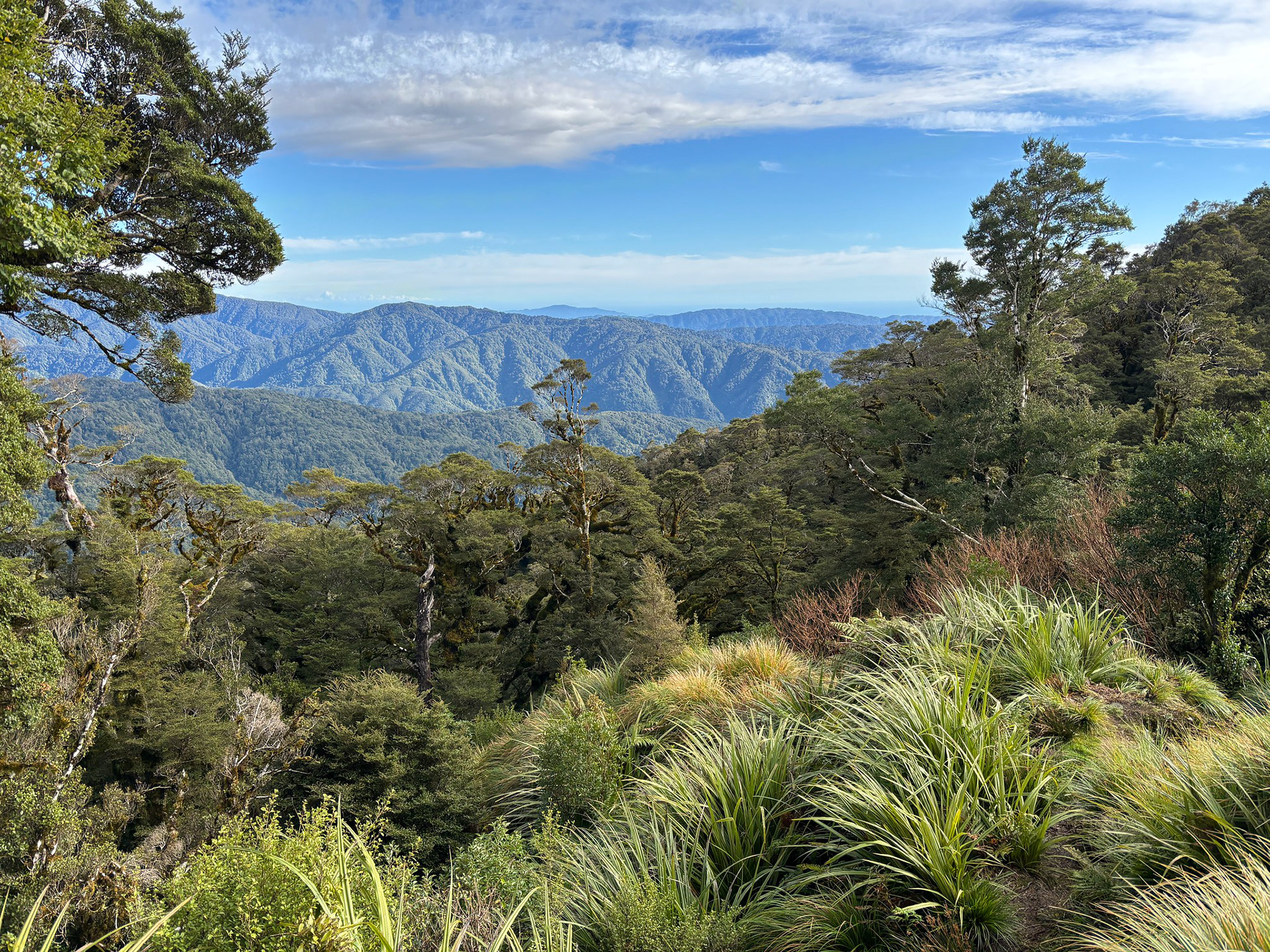
Some coastward views from just above Field Hut.
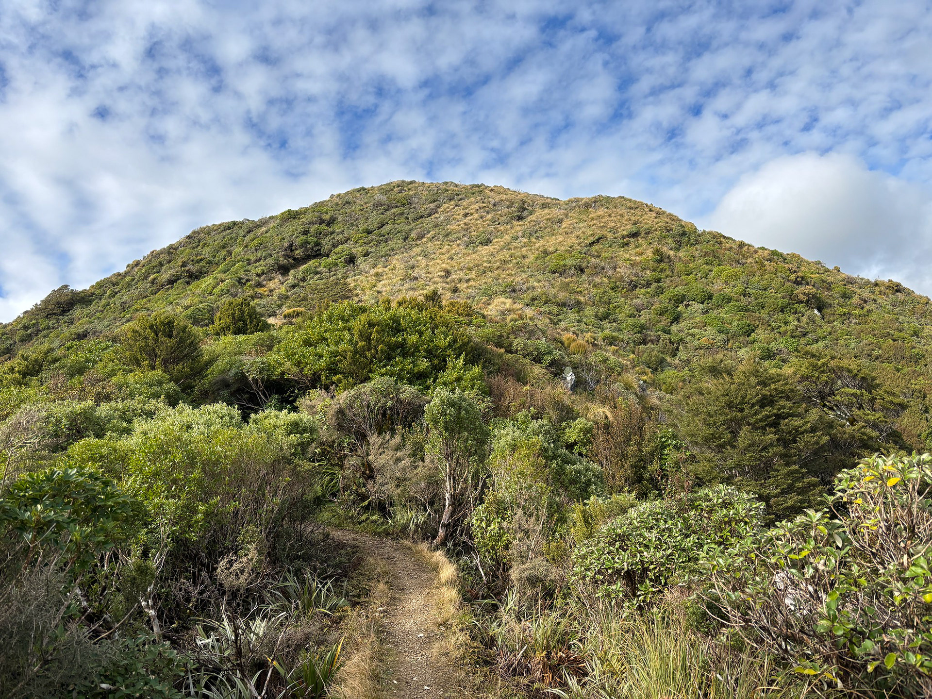
Table Top coming into view.
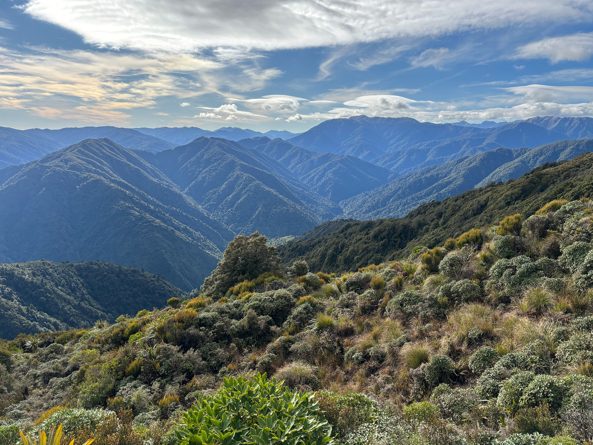
Some northward views too, showing off a large portion of the range.
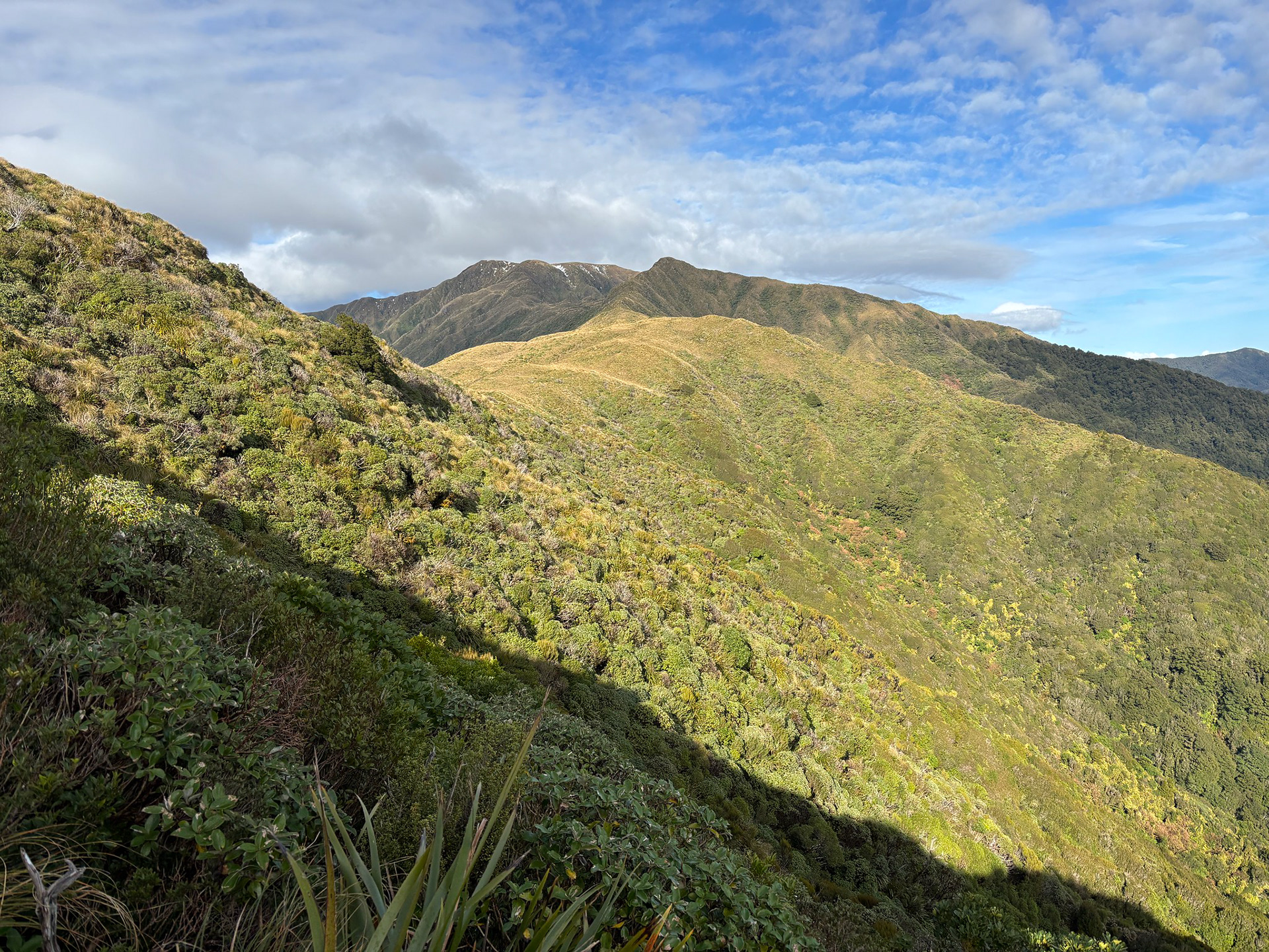
Sneaking under Table Top, Dennan and Bridge Peak in the distance.
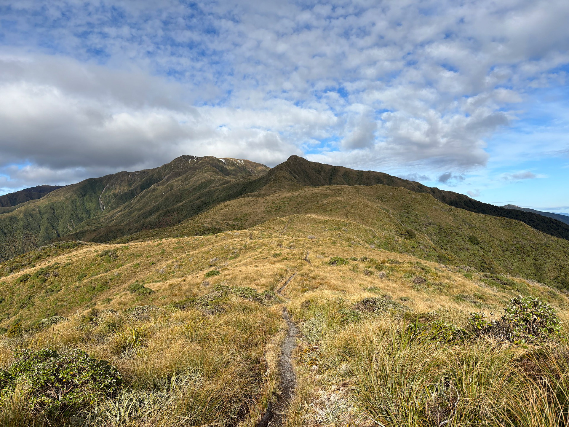
Beyond Table Top, the route showcases an unusually flat section of ridge crest which offers delightful running. It was surprisingly muddy on this given day, though I guess that's just the joys of winter running.

Magical tops running between Table Top and Dennan.
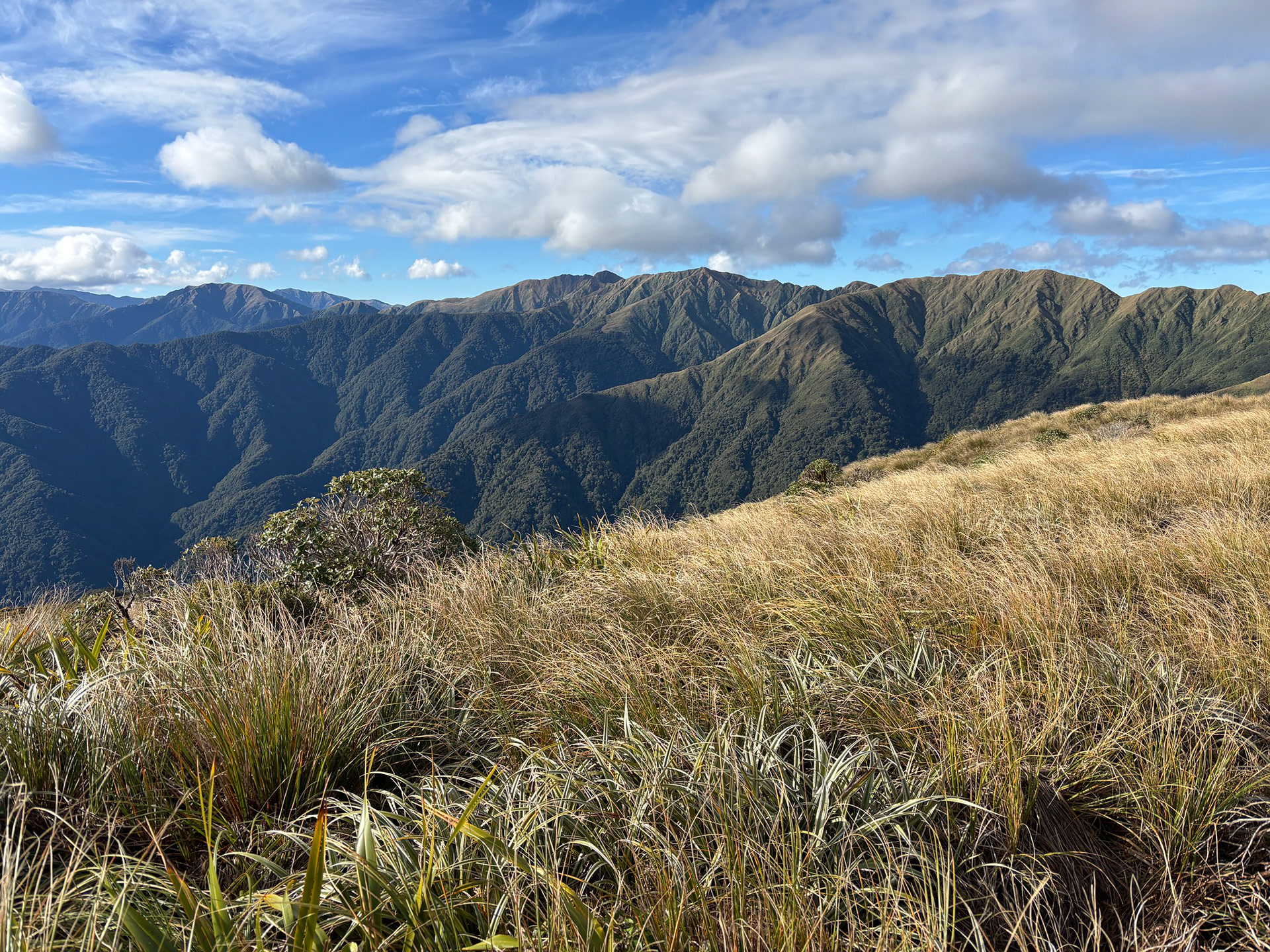
A view towards the region around Maungahuka Hut, Pakihore Ridge prominent.
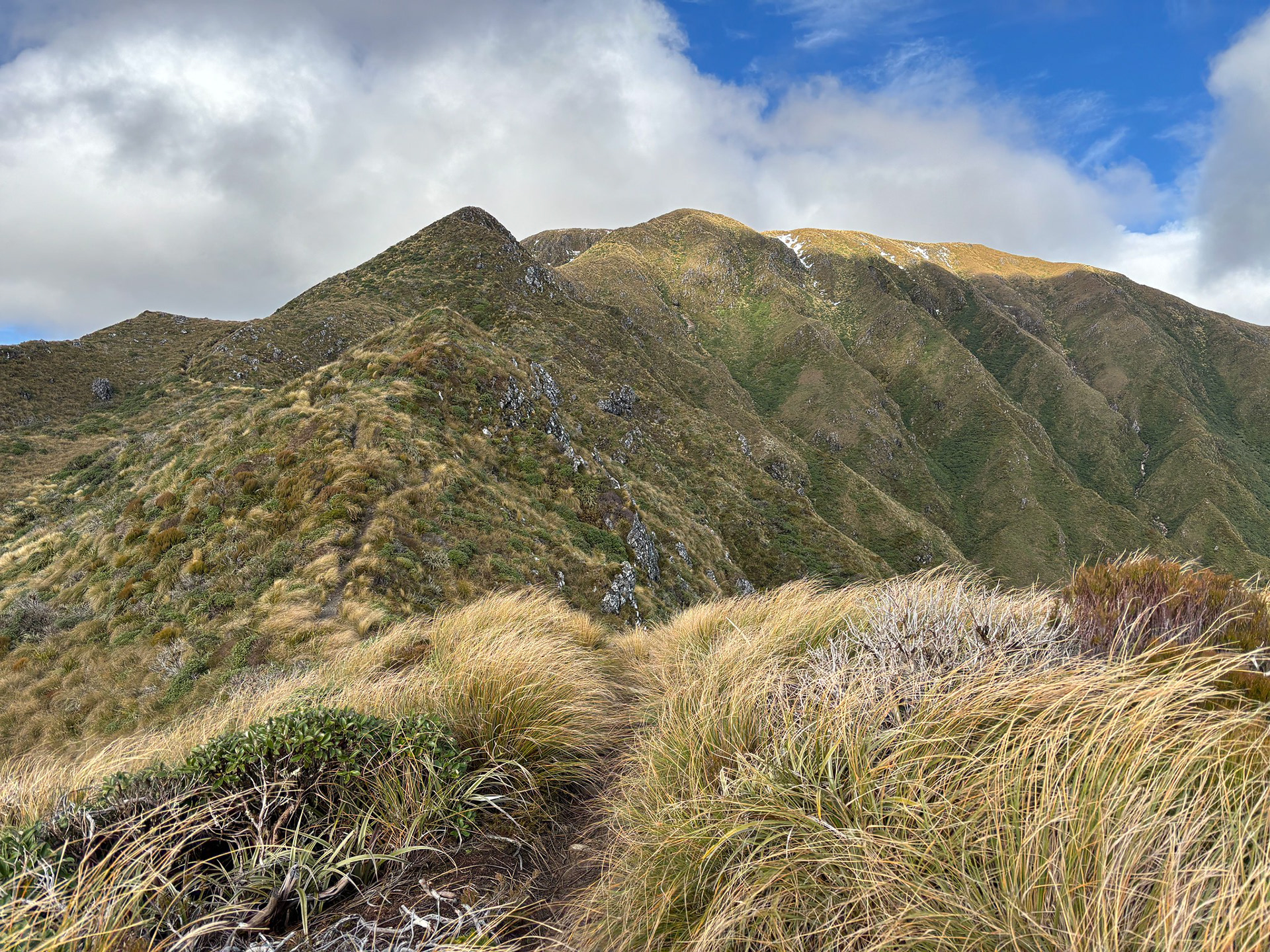
About to commence the left-hand sidle of Dennan.
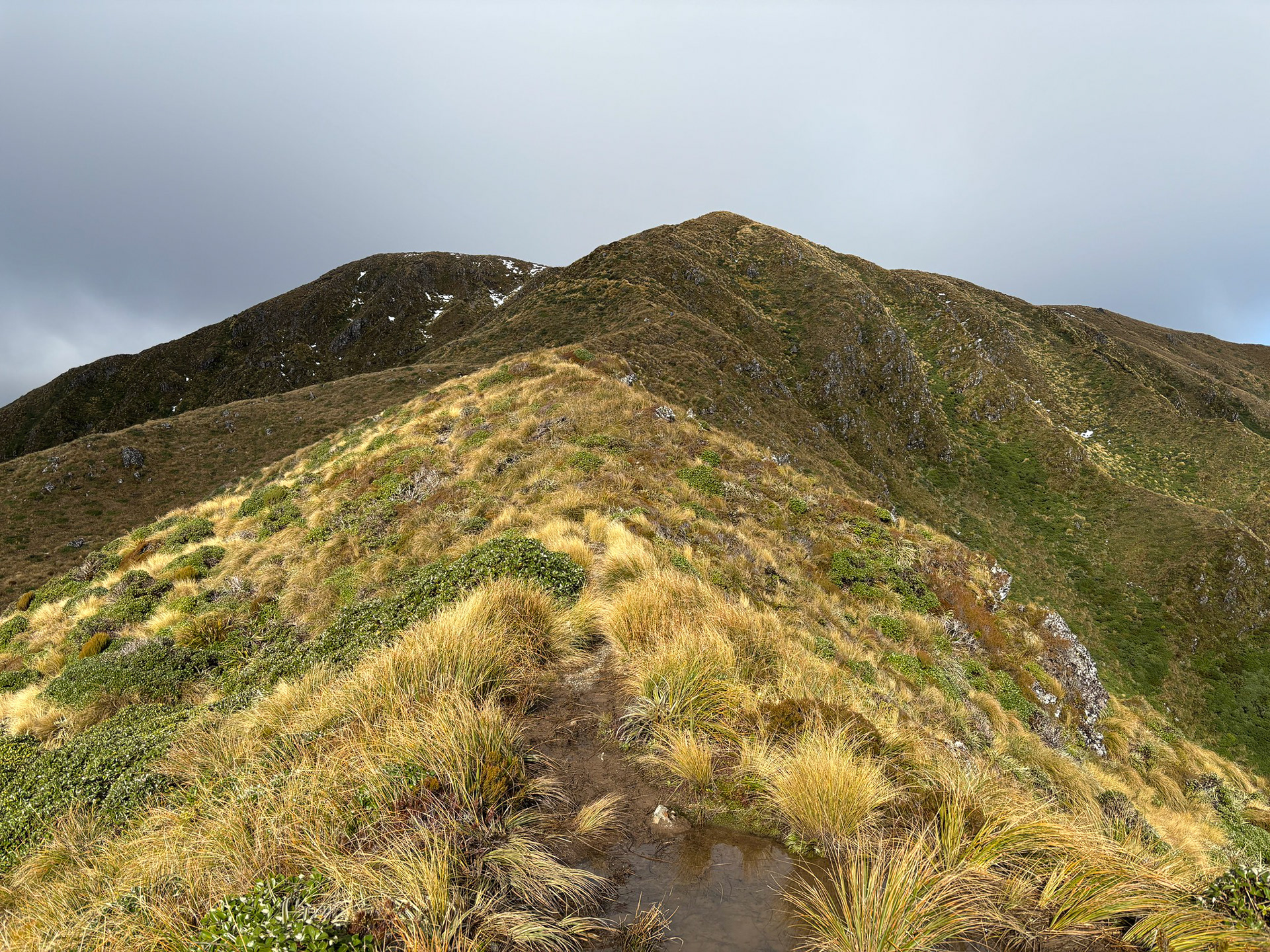
As I approached Bridge Peak, it was clear that the fine forecast was not going to hold for the entirety of the route.

Incredibly lovely tussock hues, can hardly complain about the upcoming clag.
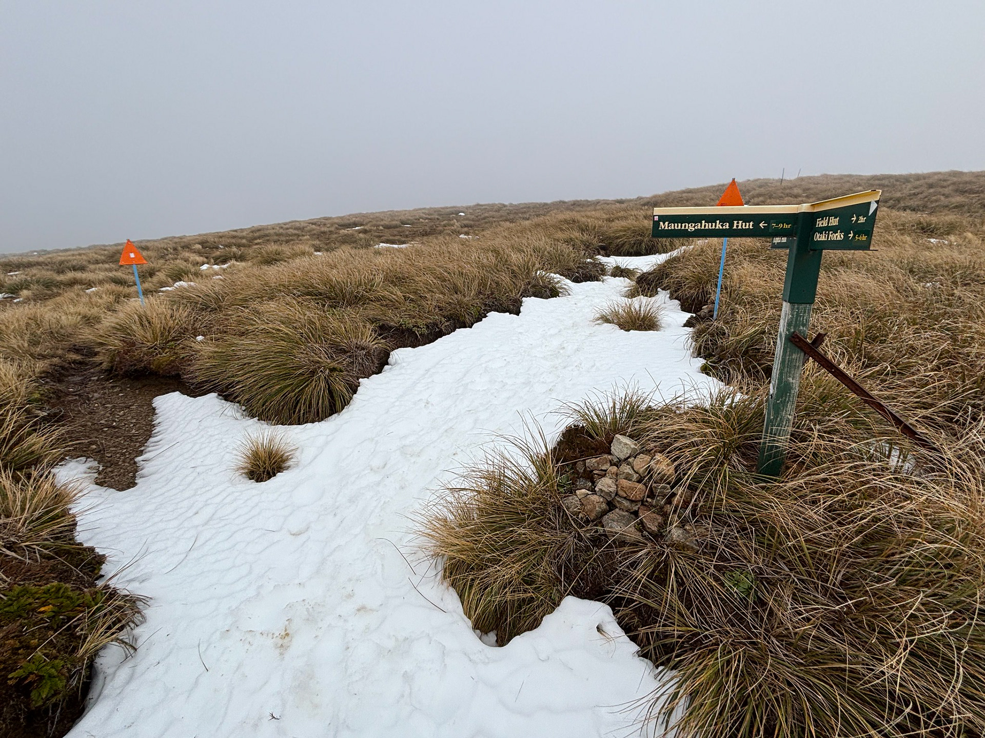
The route passes adjacent to Bridge Peak, and I was soon in clag. The plateau was partially submerged, so it was basically a hundred metres of splashing through the shallows before the climb towards Hut Peak commenced to my relief. The water was replaced with snow in the trackline, which I guess was an improvement in some sense. Do note that there is a junction and the left-hand track leads to Maungahuka Hut which is a long way away - a couple of trampers made this mistake in 2009 and tragically both perished from hypothermia.

The junction with the track to Maungahuka Hut.
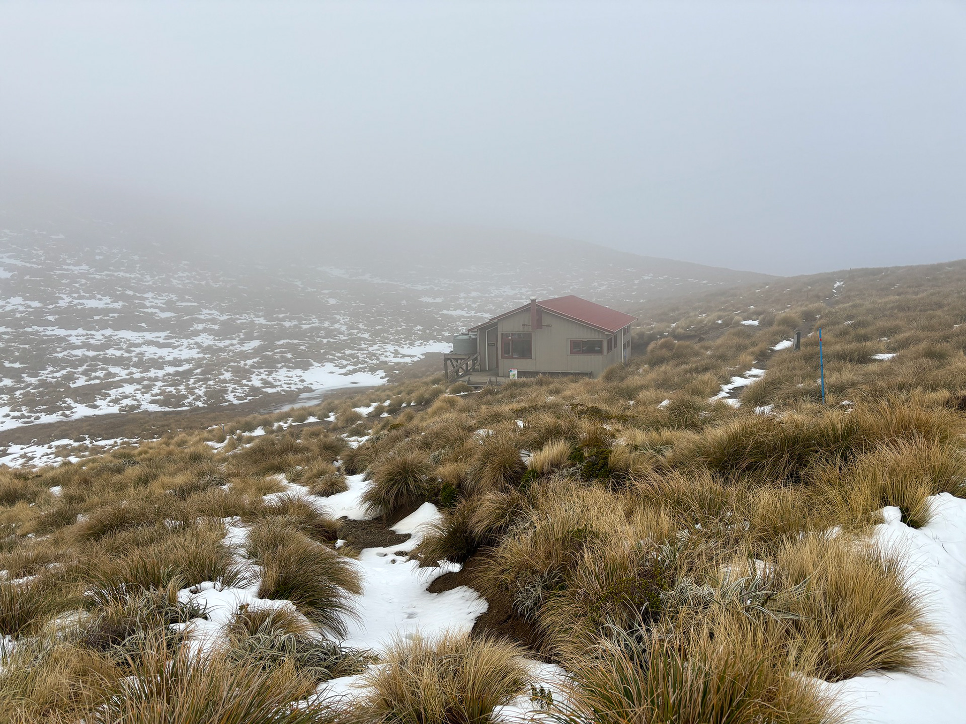
Beyond Hut Mound, the route drops gently into another basin which holds Kime Hut. This refuge is basic but functional, it has a reputation for being very cold in winter. It can also be very busy in summer, with stories online of it sometimes sleeping dozens of trampers above its rated 20-person capacity.

Approaching Kime Hut in the increasingly average weather.
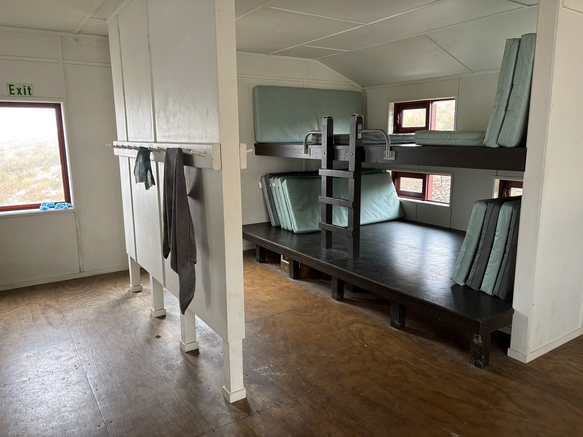
One of the Kime bunk slats.
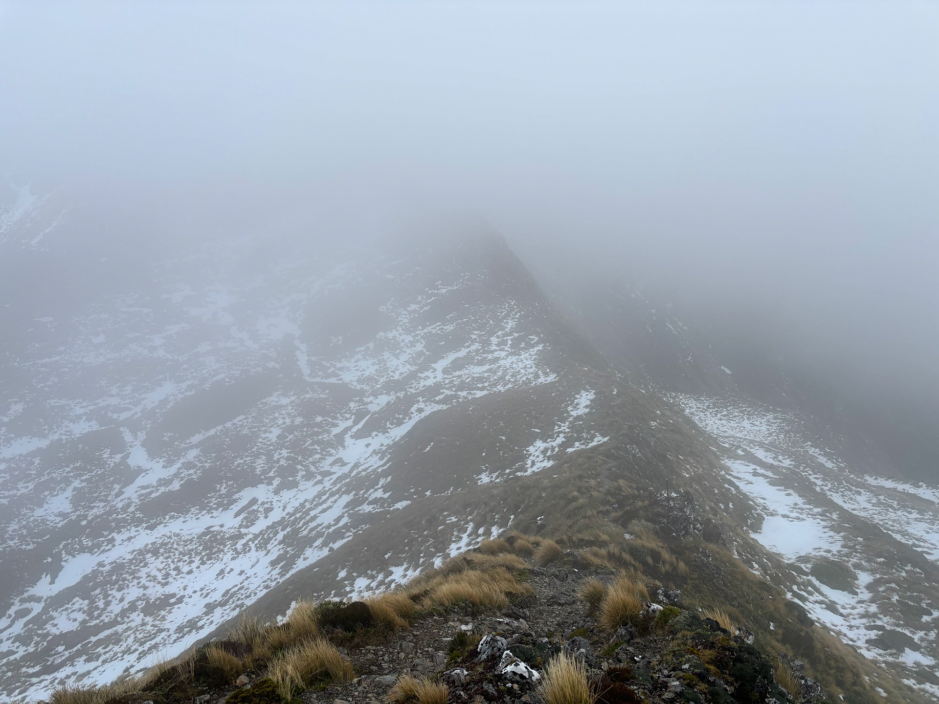
At Kime, I gave consideration to the route ahead. The weather had degraded quicker than forecast, and I knew a front was due to sweep the range from early evening. It felt every bit as cold as the forecast -4C windchill, and I was only carrying trail running gear which did not include a jersey or trousers. The hut is in quite an exposed position and was periodically being buffeted by gales, but it felt like the conditions were within my capabilities so I put on my second thermal and ultralight rainjacket plus refilled my water bottles from the hut tank. The only thing I really wanted for beyond that was gloves, which I had brilliantly forgotten to bring.
Heading out was comforting, and Field Peak was soon cleared and I was dropping into the Field / Hector saddle. This was surprisingly calm, the trackline sheltered by adjacent landmasses. It could almost be mistaken for being pleasant, and it was soon into the final push up to Hector.

Almost at the Field / Hector saddle for the final push.
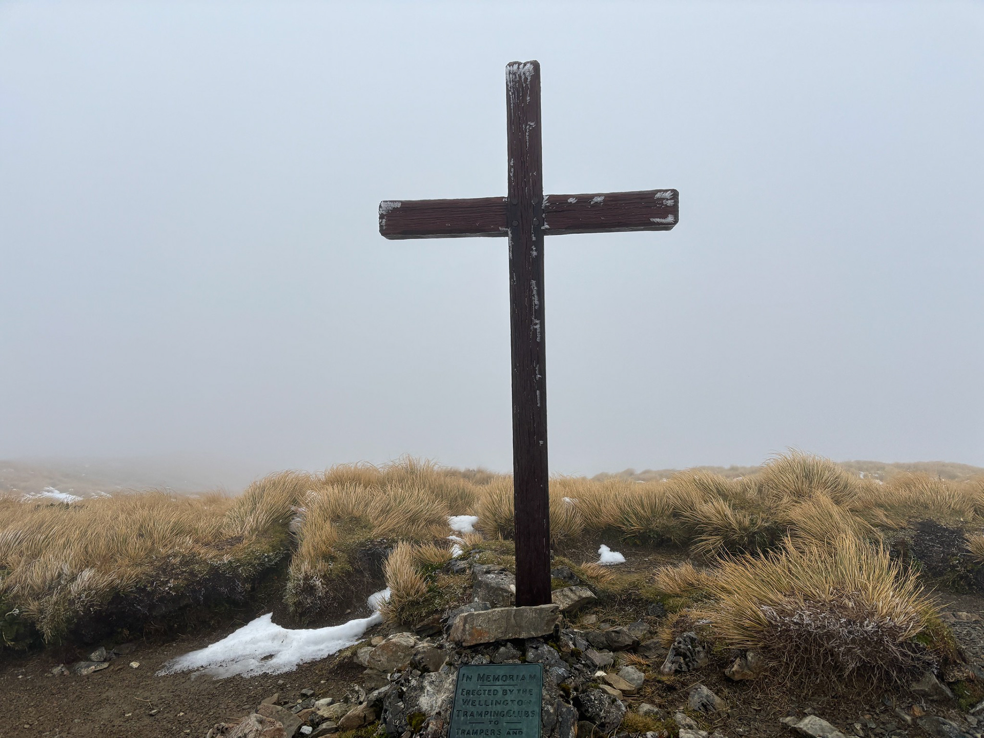
The final climb to Hector was reasonably easy, the elevation on my watch face quickly closing out those last hundred metres and the summit cross was soon in view. It was about the only thing in view to be fair, not a day for immaculate vistas up top.

The summit cross of Hector, in memory of the trampers who lost their lives in WW2.
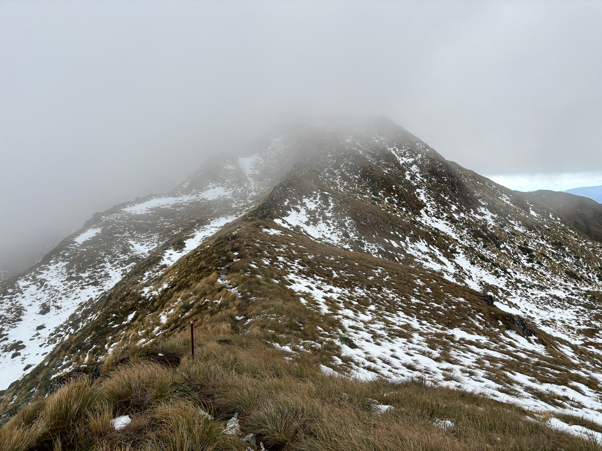
It wasn't a long break at the summit before it was time to scoot. It had taken about 2:30 to reach the summit, plus a bit of downtime in the huts signing hut books and layering up. I still had a bit over 3h of daylight left to work with, so I departed with confidence and made reasonable time of the descent. I ended up taking similar times for both the climb and descent, though the snow wasn't exactly conducive to a full-throated run down.

The climb back over Field Peak, much more elevation when approached from this direction!
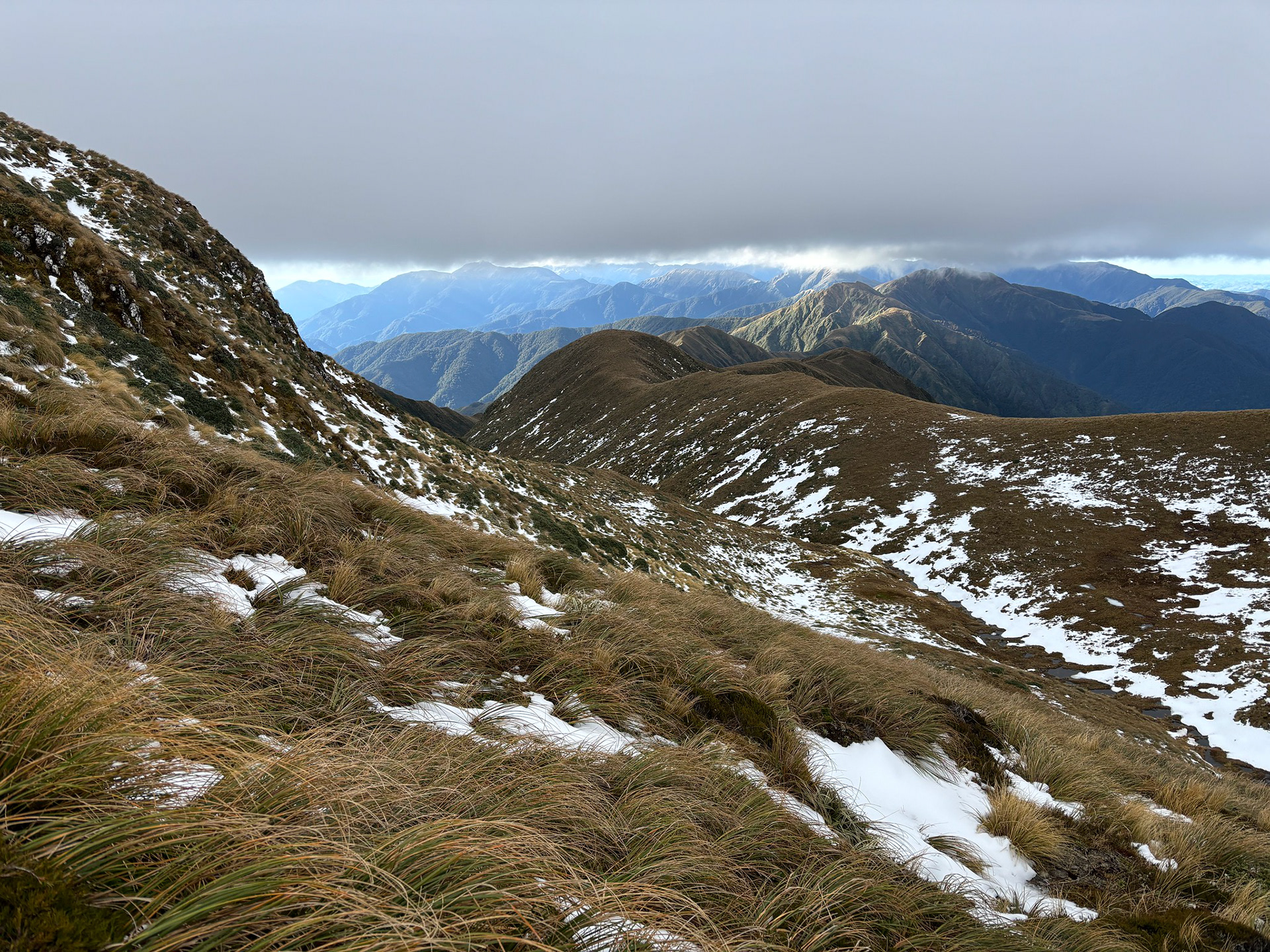
A spur to nowhere, it drops into the Hector Valley with no easy egress.
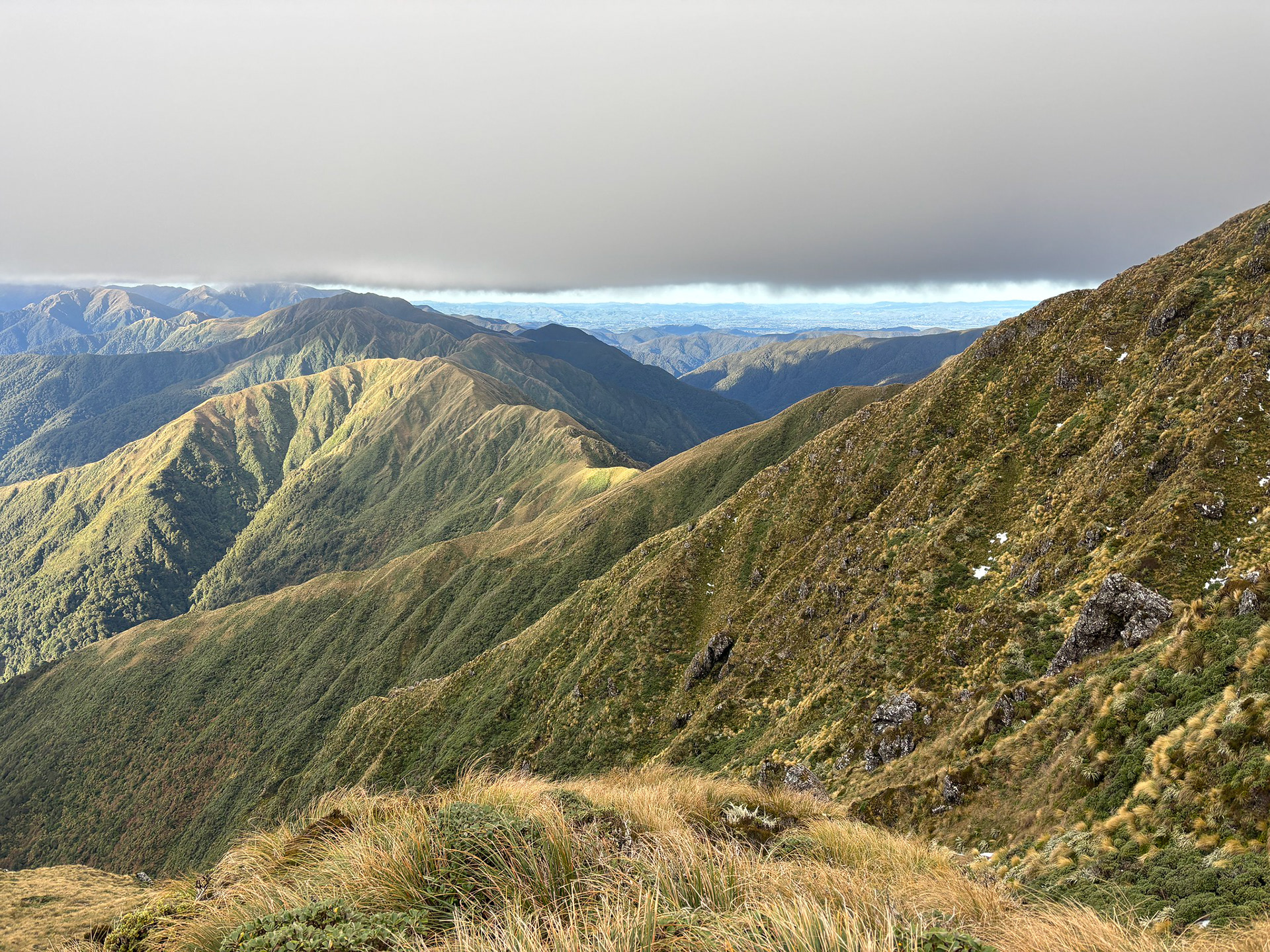
Over towards Maungahuka.
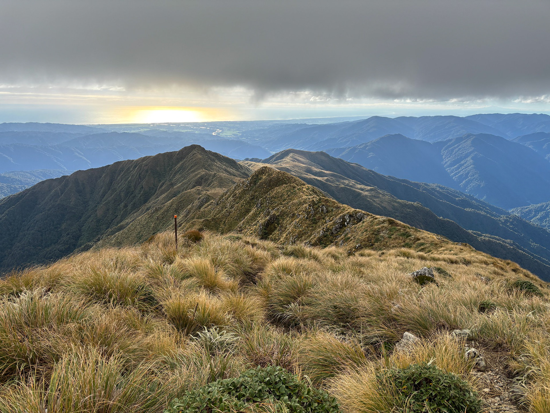
Looking down towards Dennan and Table Top as the afternoon light begins to fade.
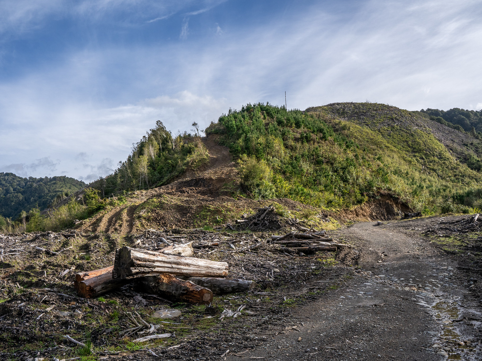
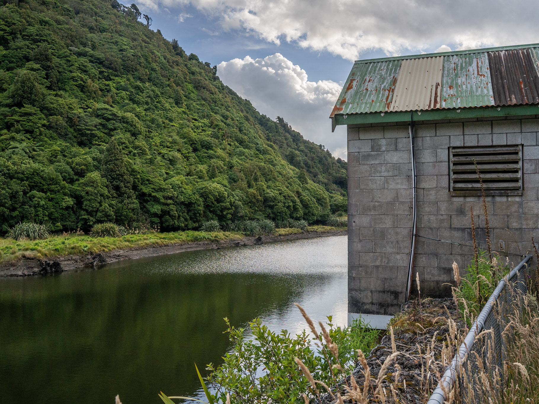
It ended up being a bit anticlimactic, reaching the car soon after 4pm with daylight to spare. It had however been a delightful day out - two new huts visited, a bunch of new peaks explored and some more fitness in the legs for future missions.

You may also like

Back to Top