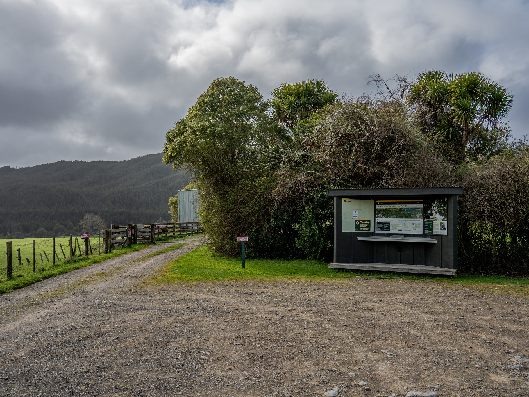
A little bit of architecture by the Mangahao #2 dam carpark.
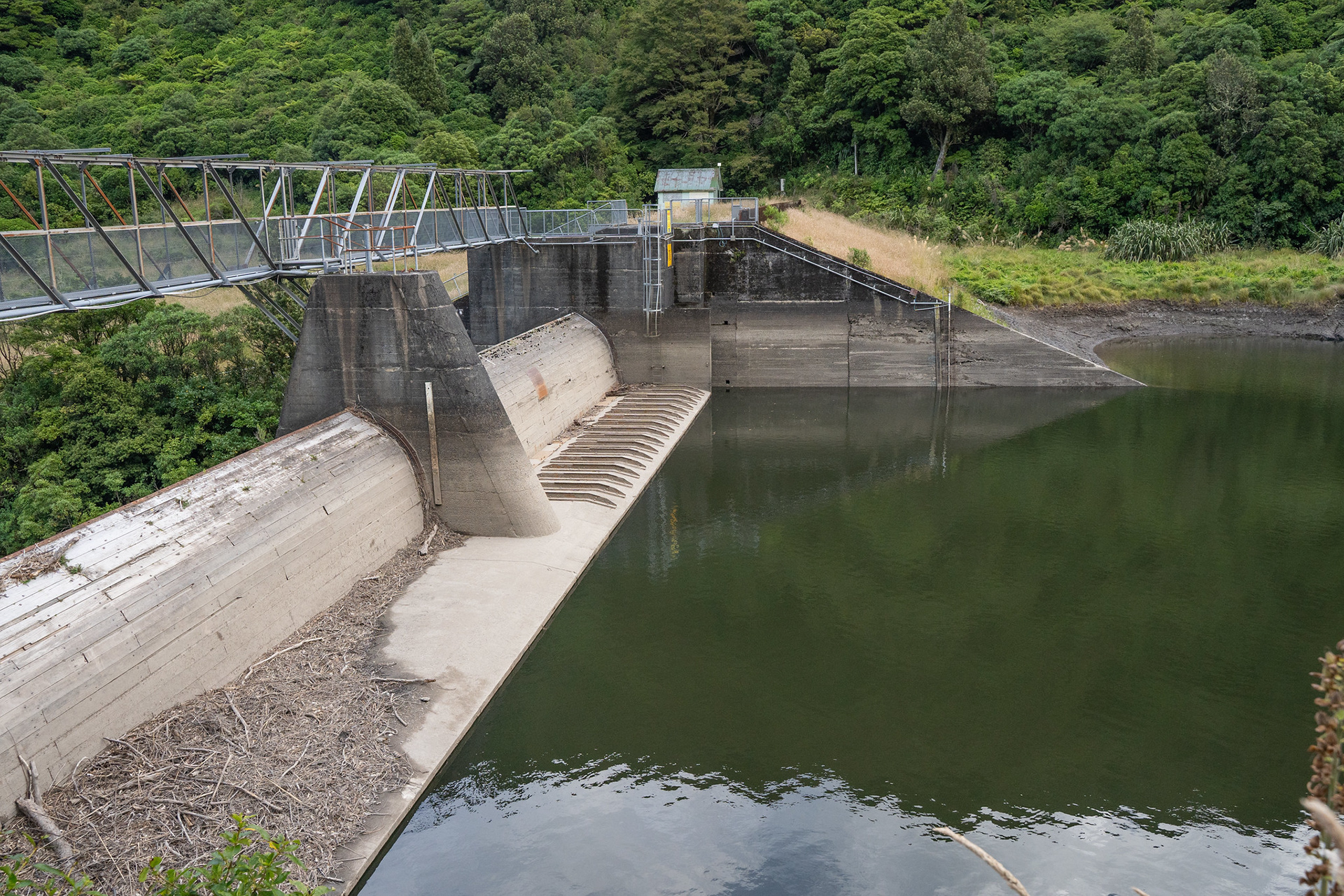
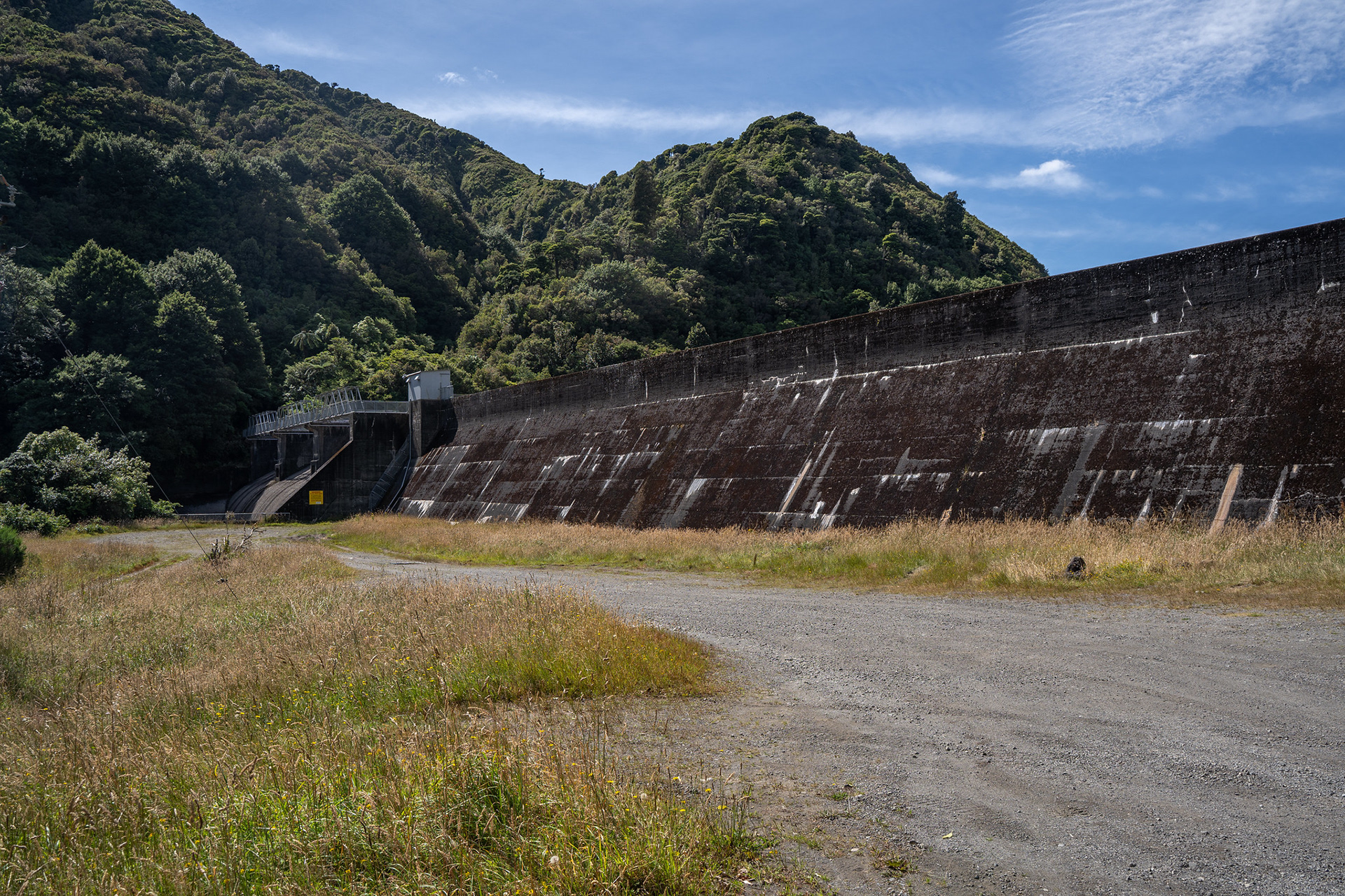
The Mangahao #2 dam itself.
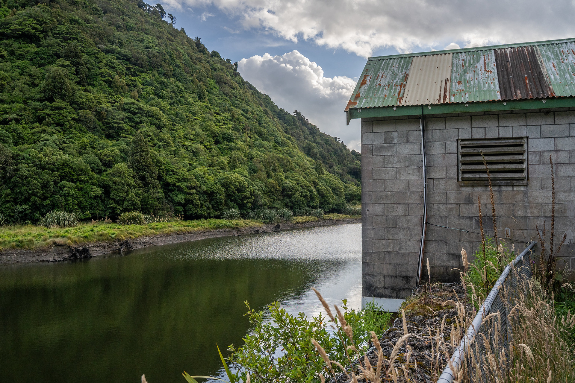
The Mangahao #2 reservoir, quite a scenic spot.
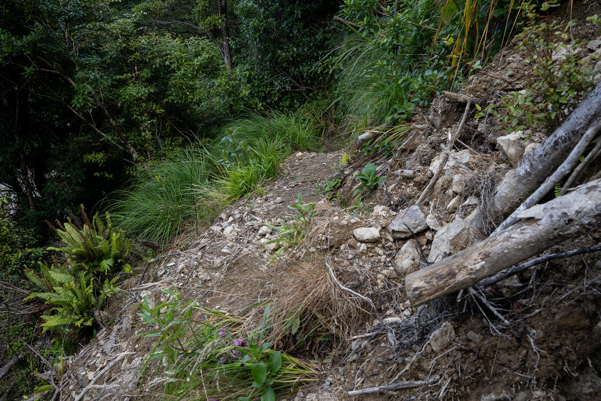
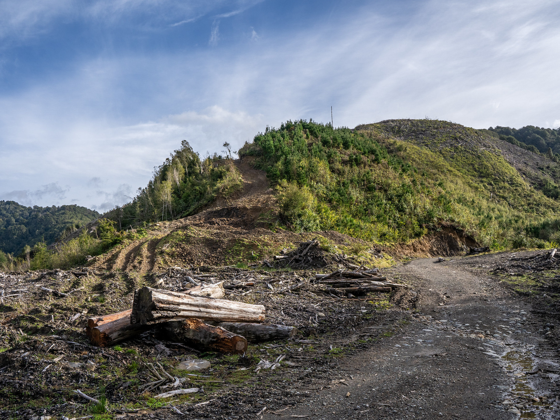
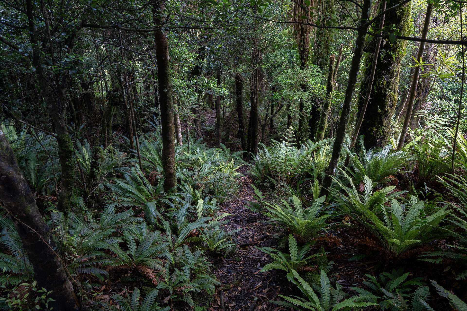
Typical early track, well formed albeit narrow in spots. This is interspersed with forest travel.
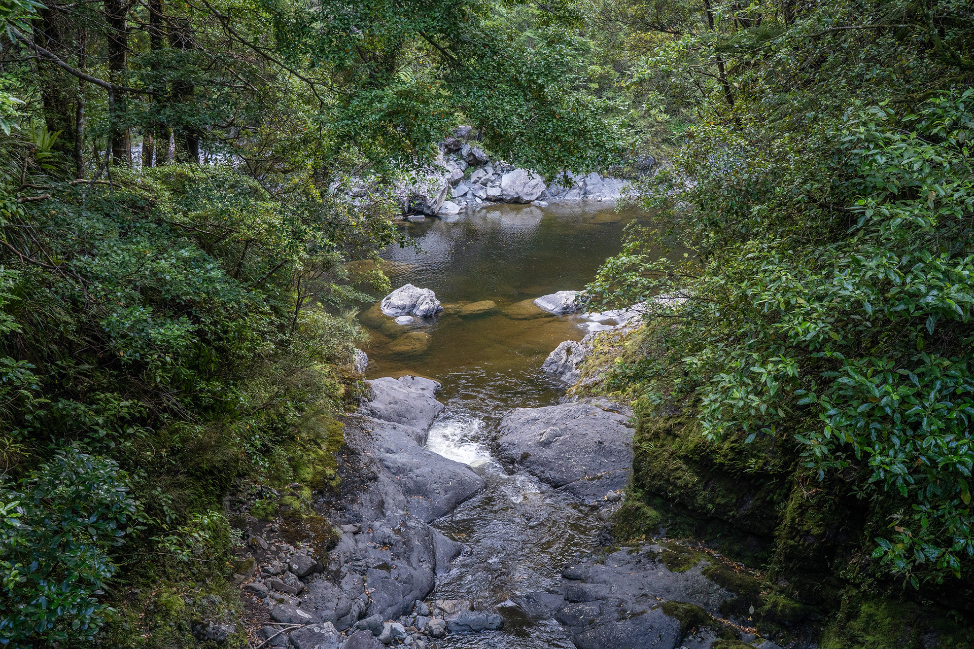
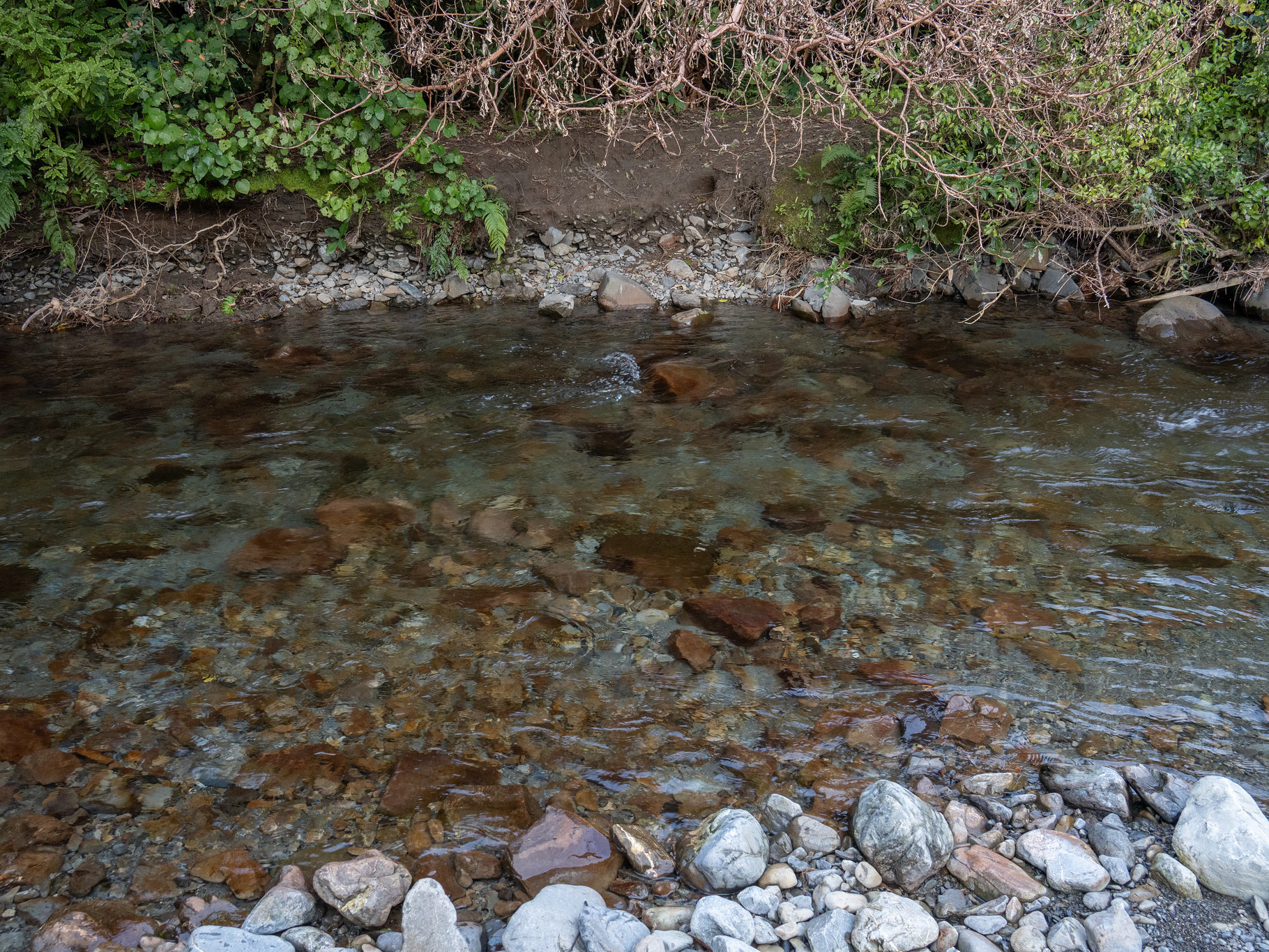
The infant Mangahao River, which slowly ambles east until coming out near Eketahuna.
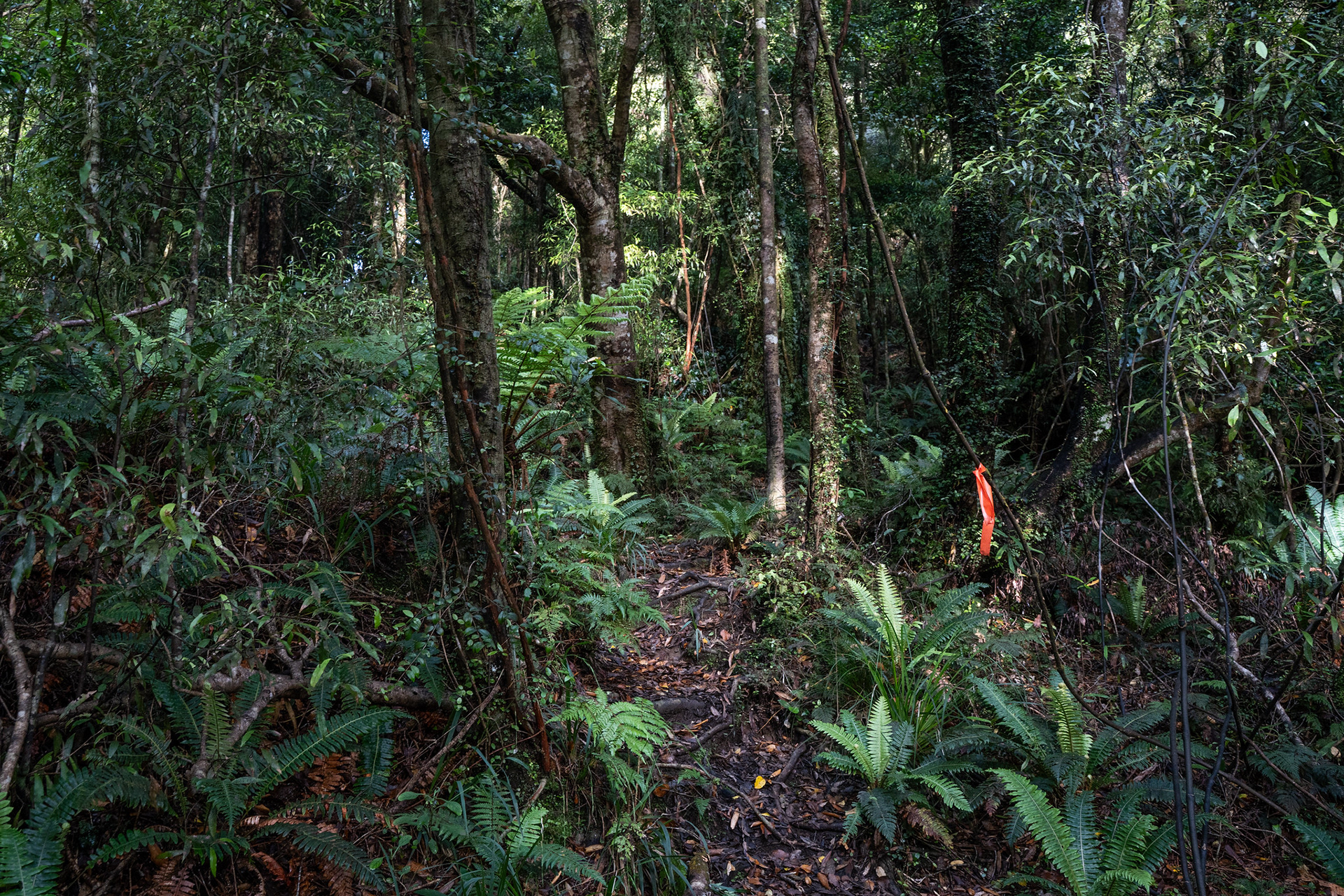
Wandering up through the Tararua bush, a lot of the spur climbing is marked with flagging tape.
Looking back north from the bush margins, a bit of clag but fortunately no drizzle.
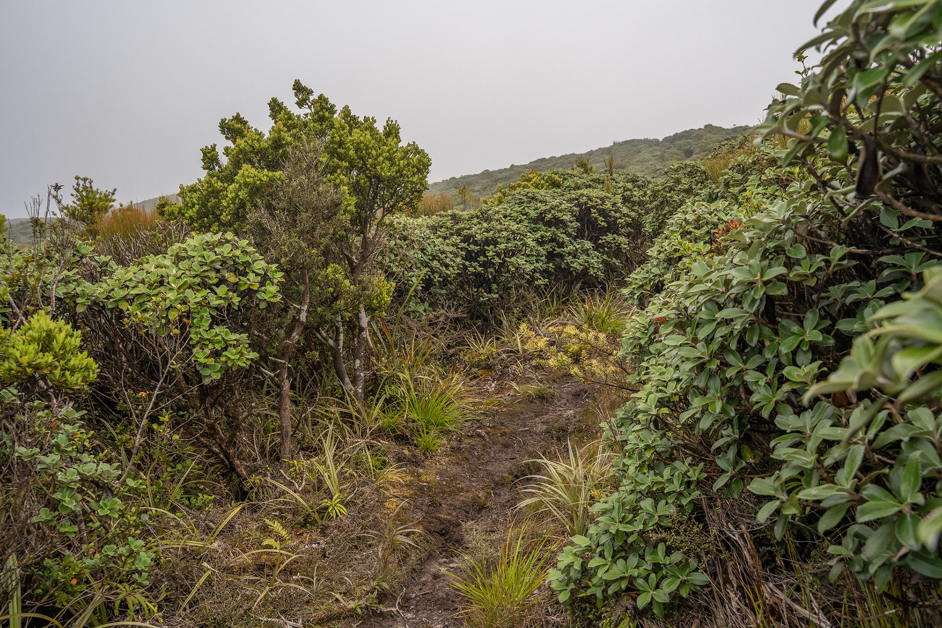
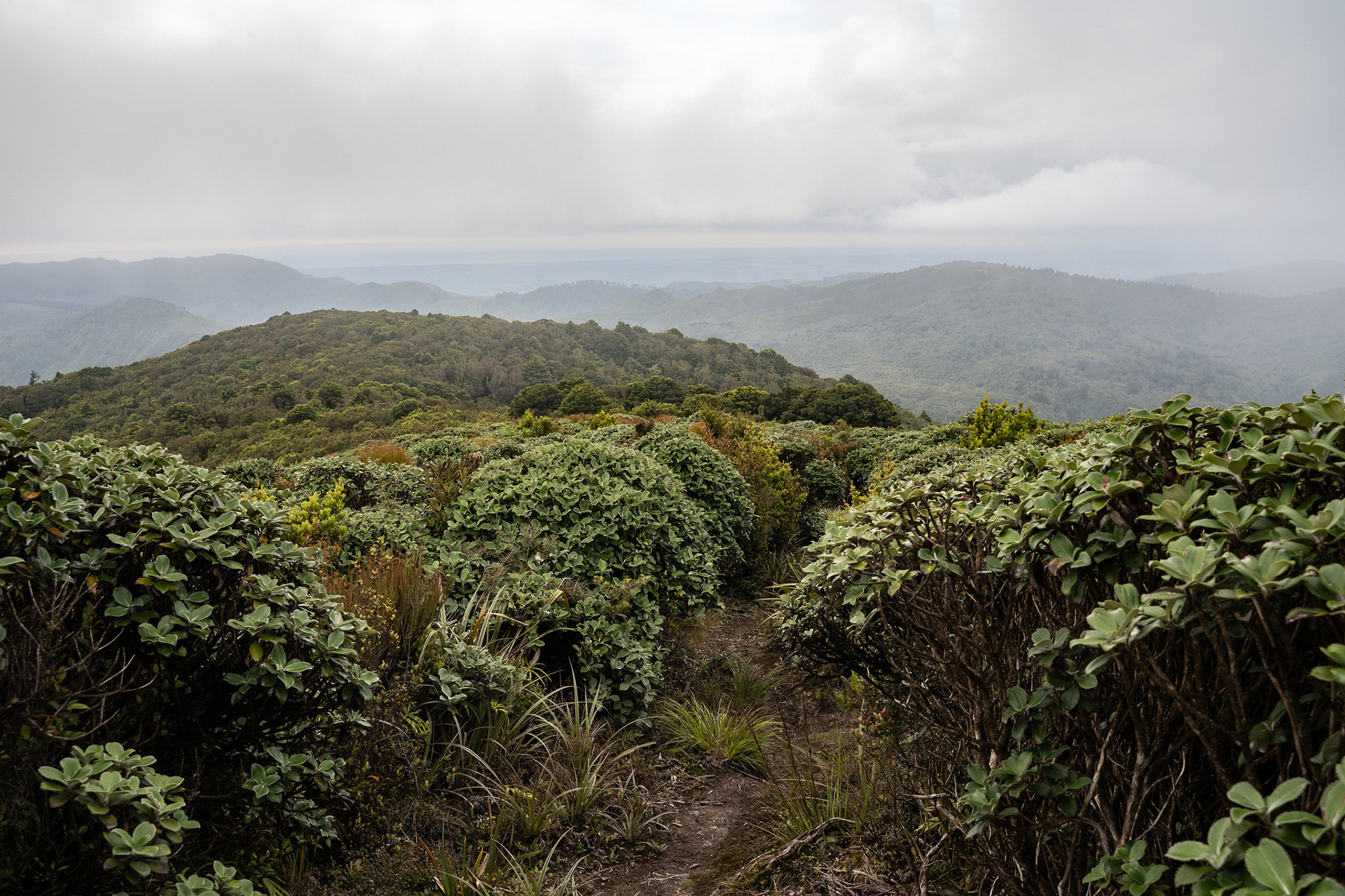
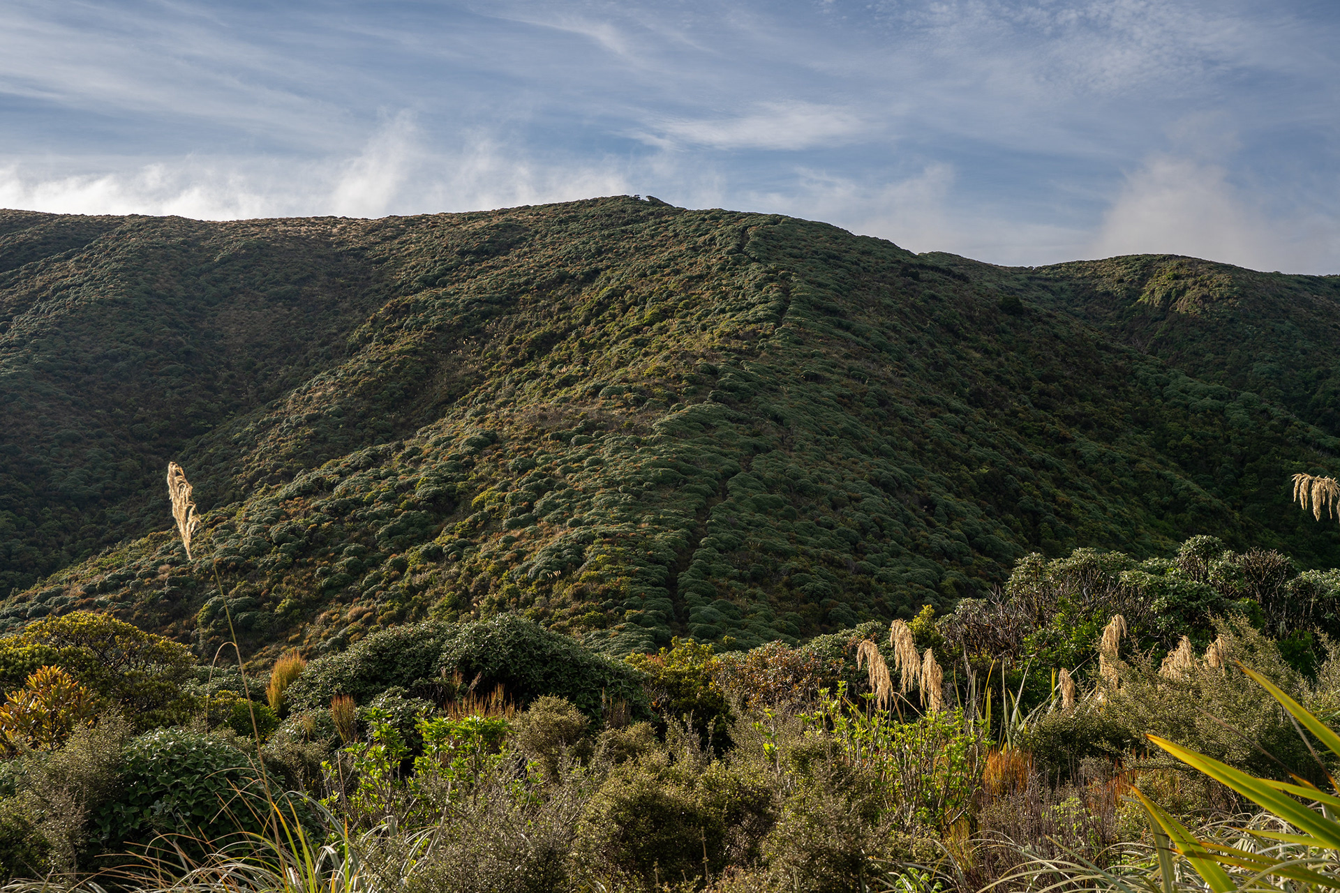
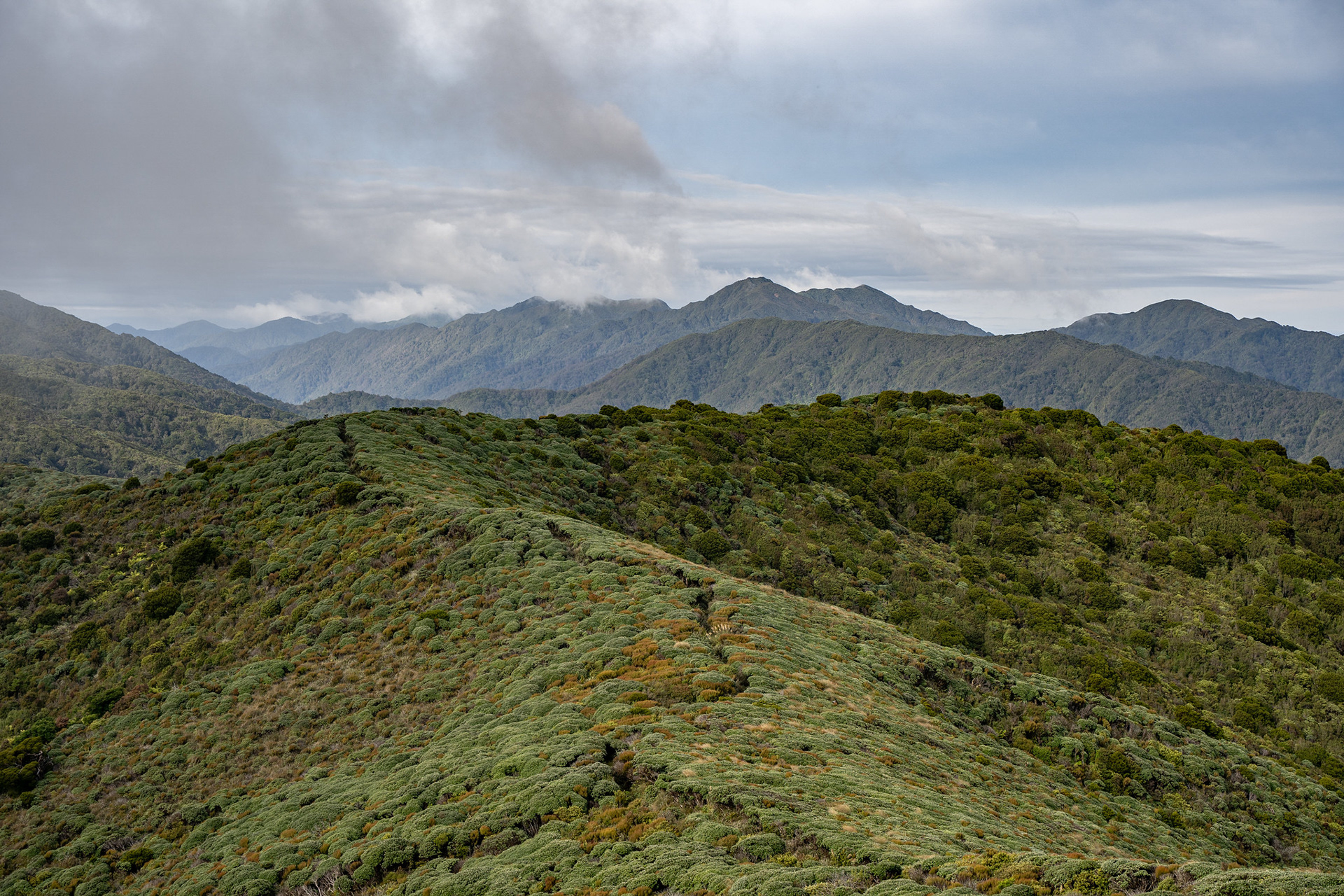
Plodding through the northern Tararua tops.
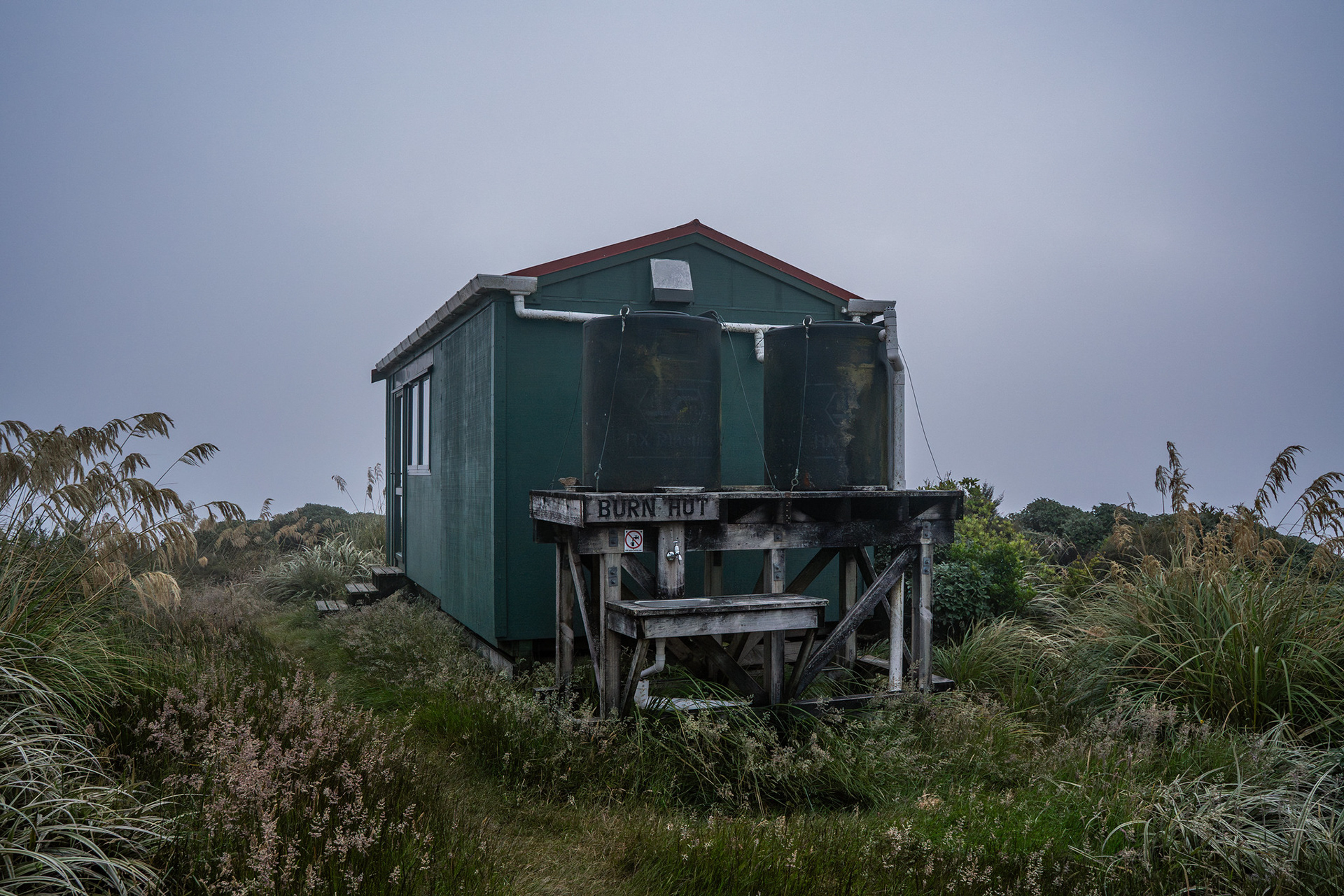
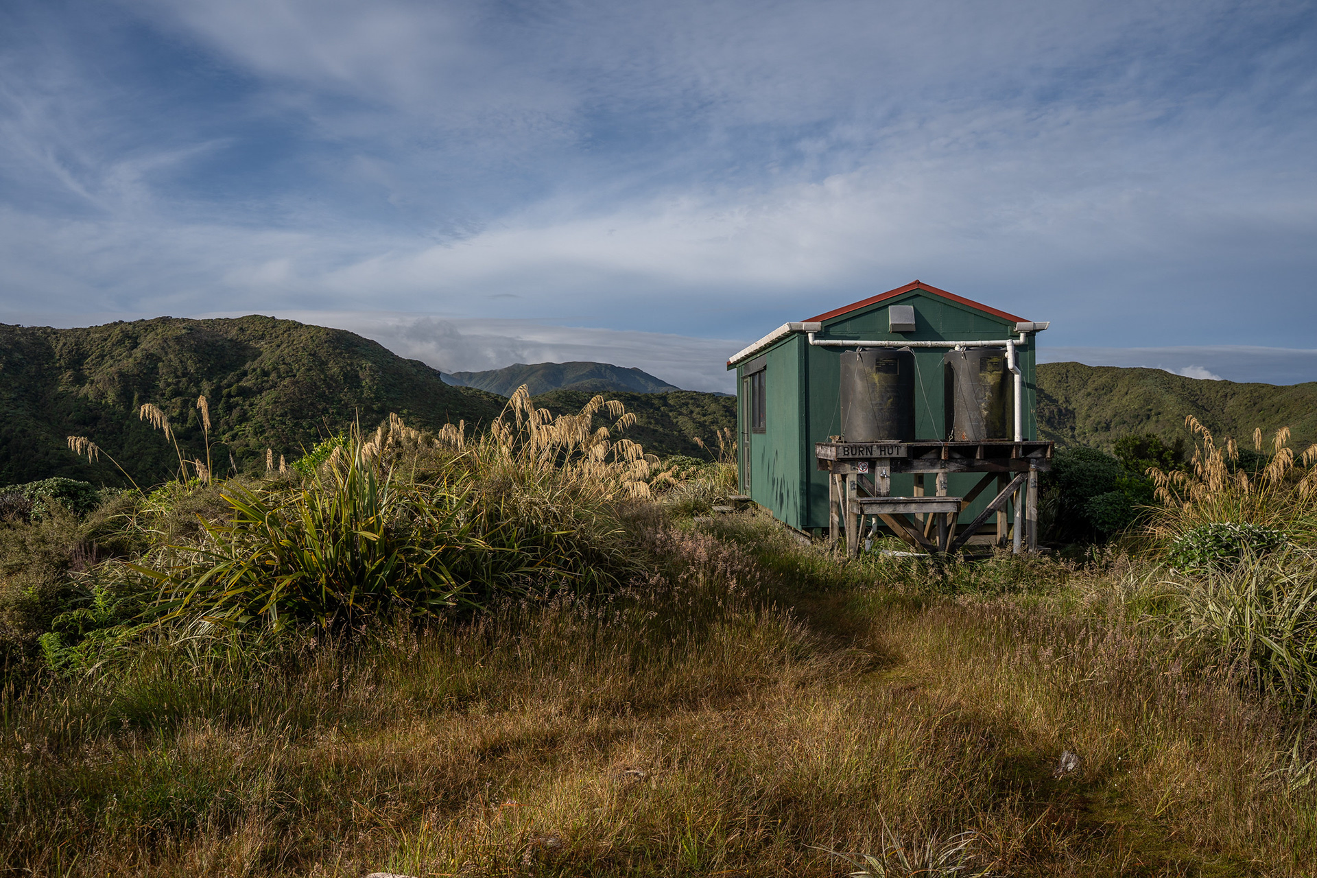
Reaching Burn Hut amongst the limited views.
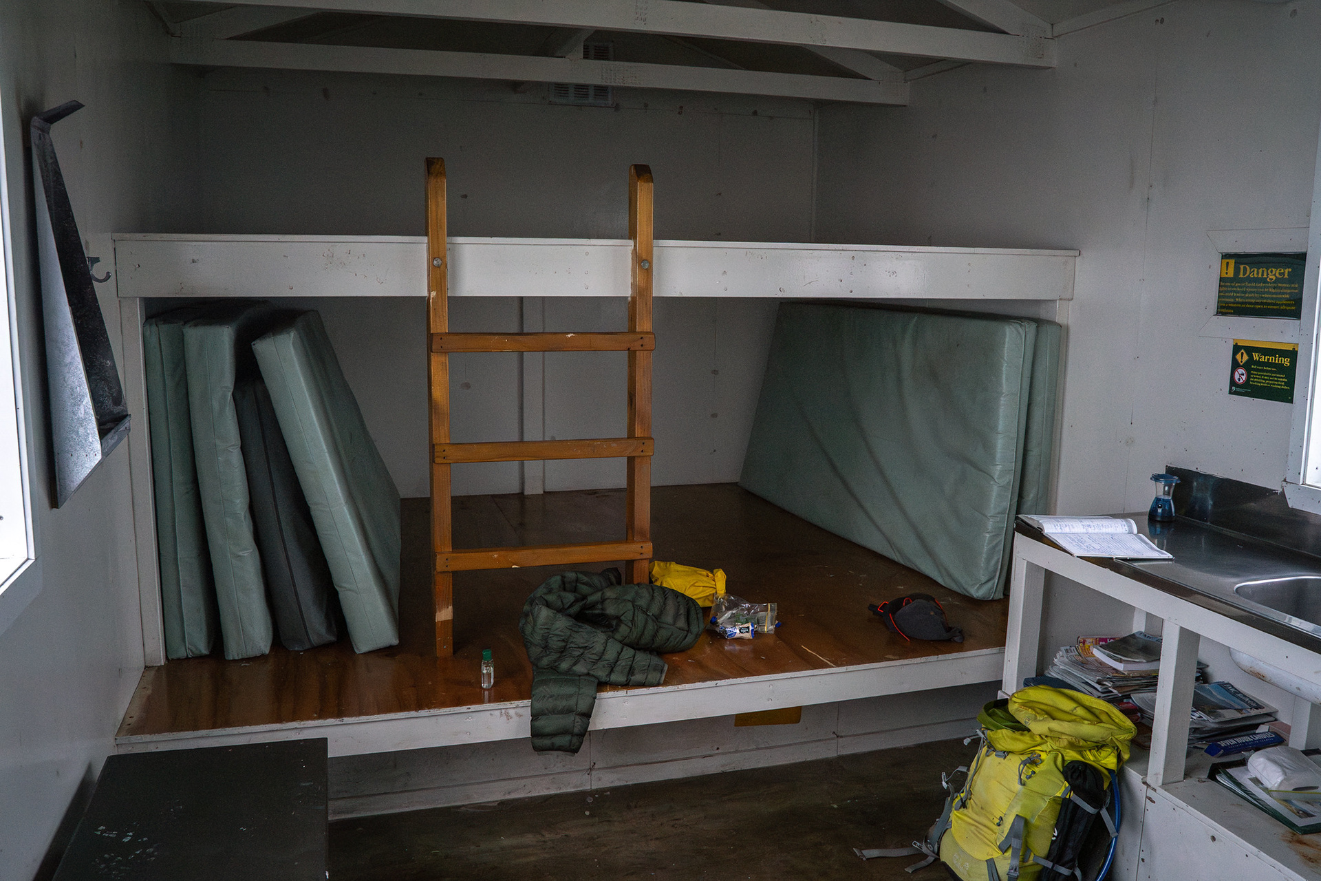
Hut internals, excuse the mess.
Camping spots outside the hut.
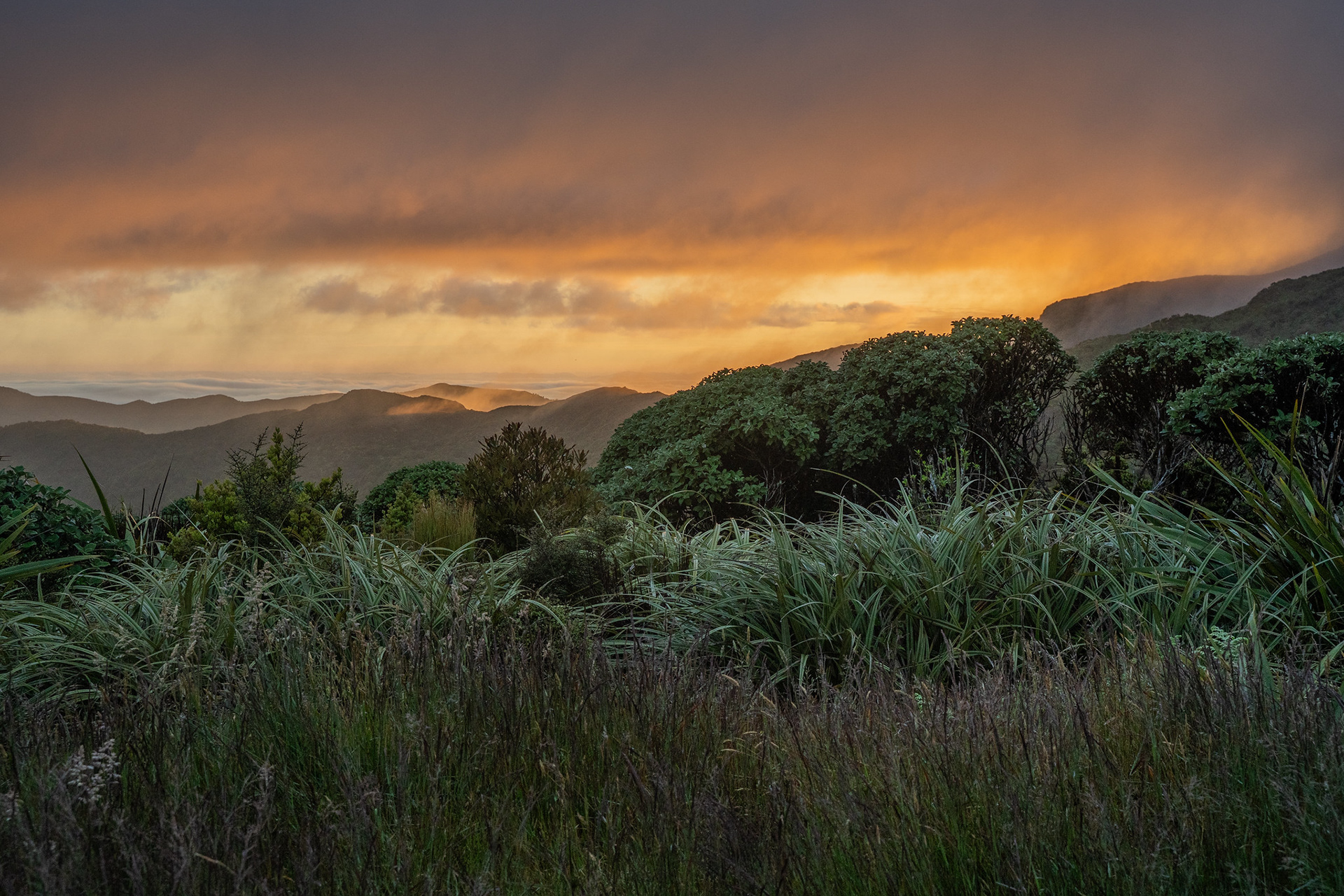
Didn't really see the sun proper, but still a glorious change of light.
Even the pleasant morning glow impinging on the range was worthwhile.
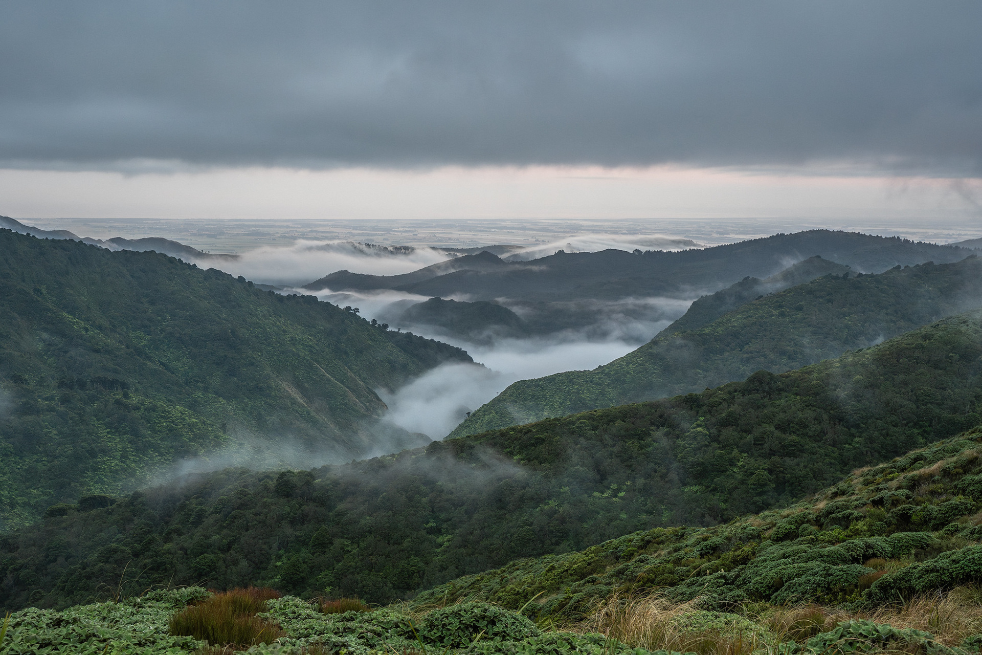
Cloud infilling some of the tributaries of the upper Mangahao.
Burn Hut in less gloomy conditions.
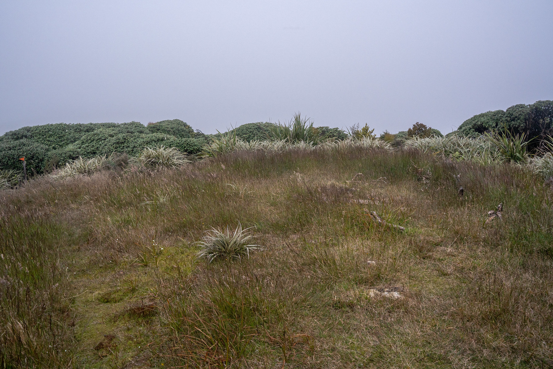
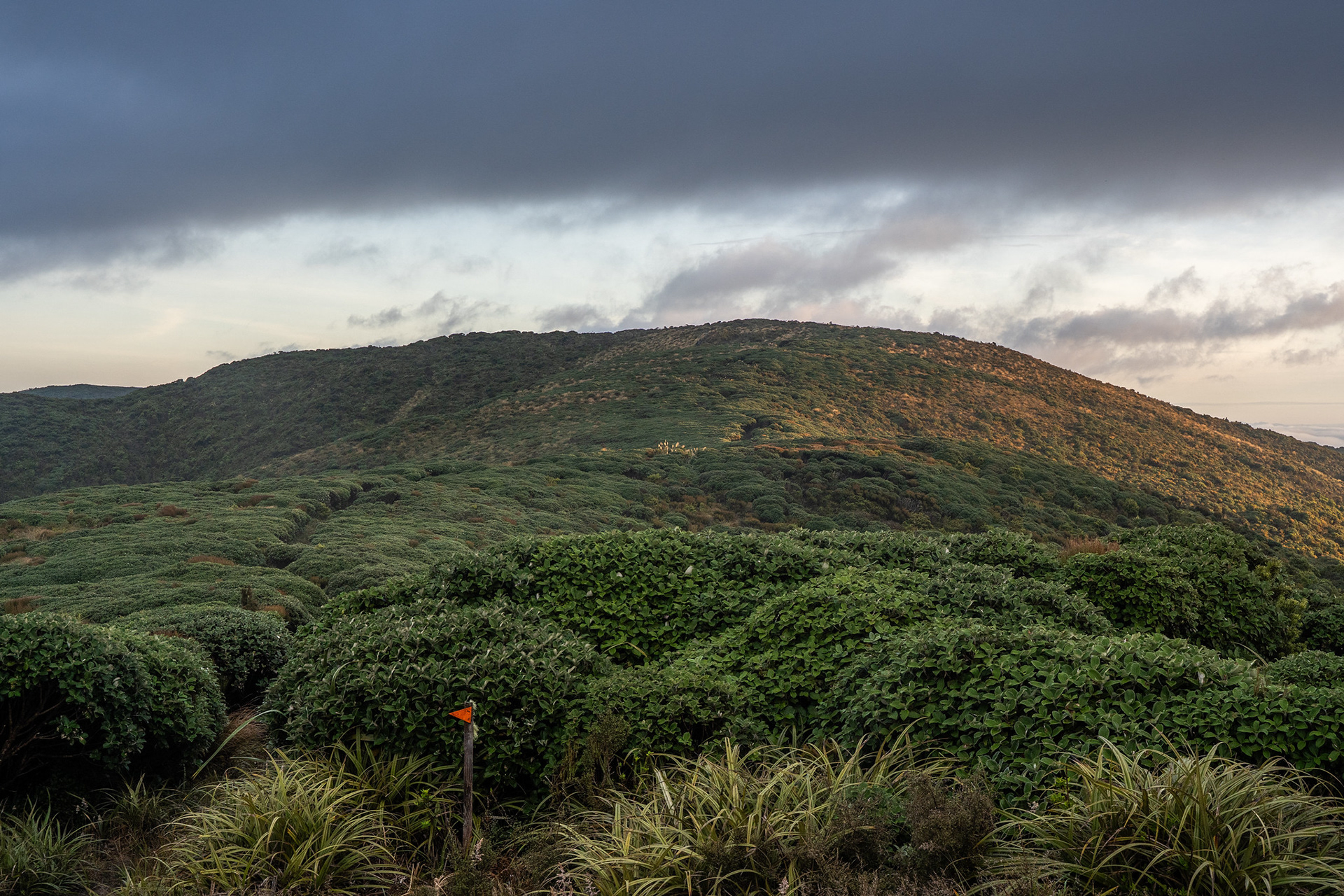
The wide swathes of track up towards pt. 833.
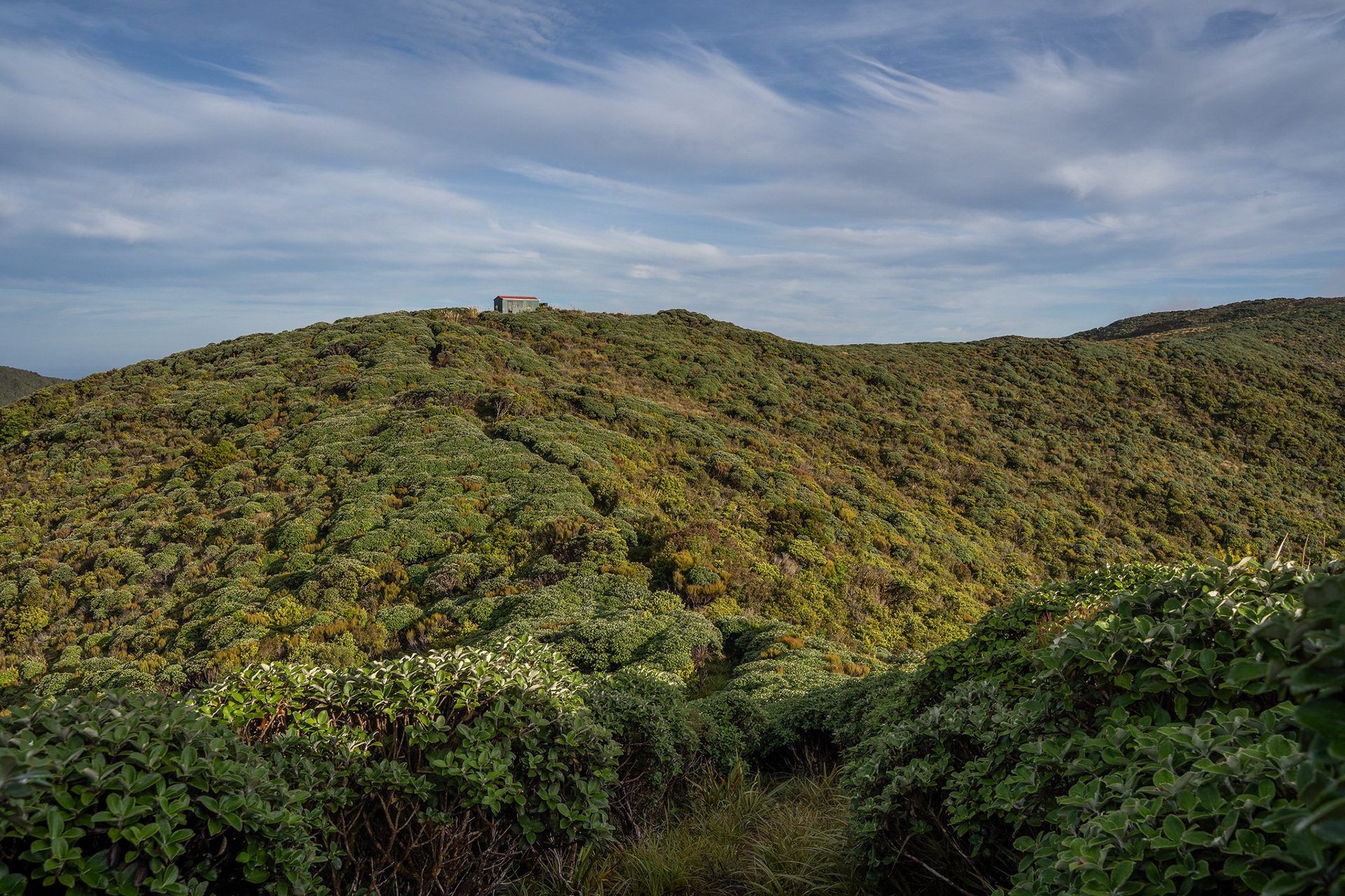
Burn Hut, the perch looks lovely from this angle.
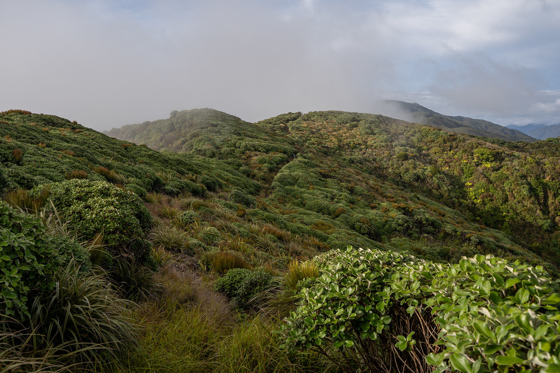
Pleasant sidling under the crest by pt. 833.
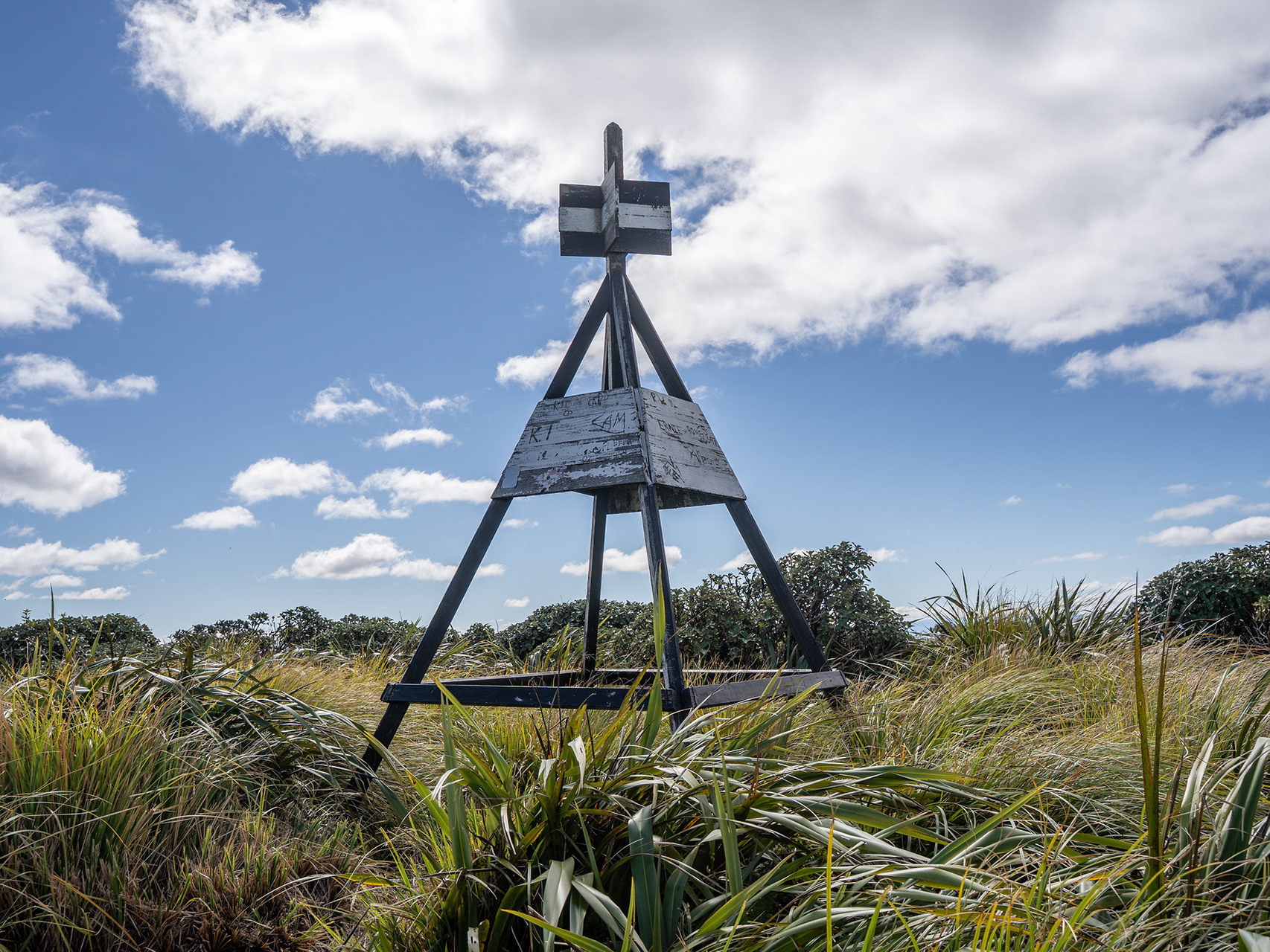
Peak. Not officially gazetted as a name but on the topo map, has been labelled as such for decades. Disappointingly, the name for the adjacent summits ("The Peaks") seems to have fallen by the wayside.
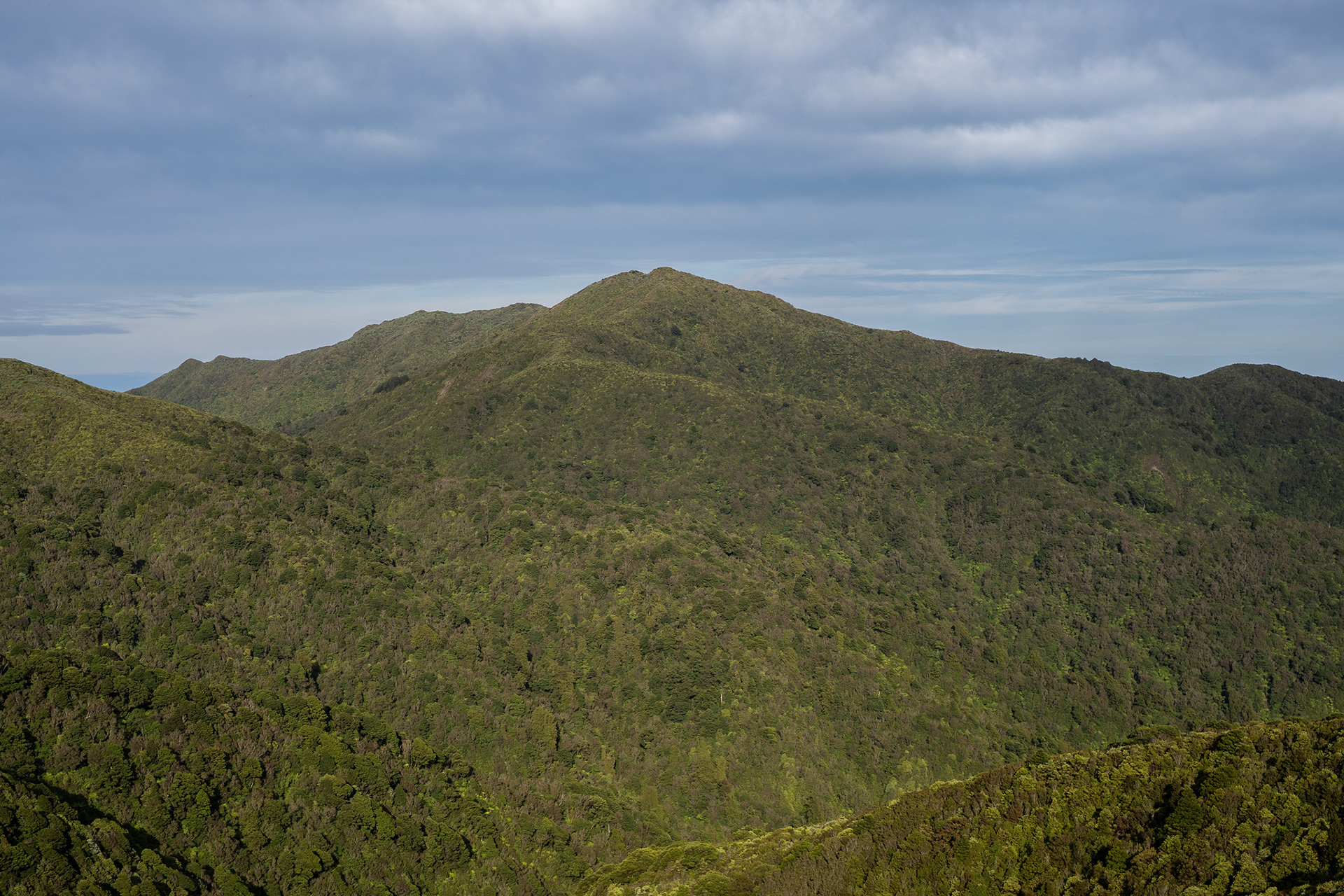
Some views across to The Camelbacks. They're very rarely visited because of the scrub, though there would be decent approaches off the TA trail from the north and from the south via the old Square Knob trail that took off from Poads Road.
Dropping through fern glades on the way to College Creek.
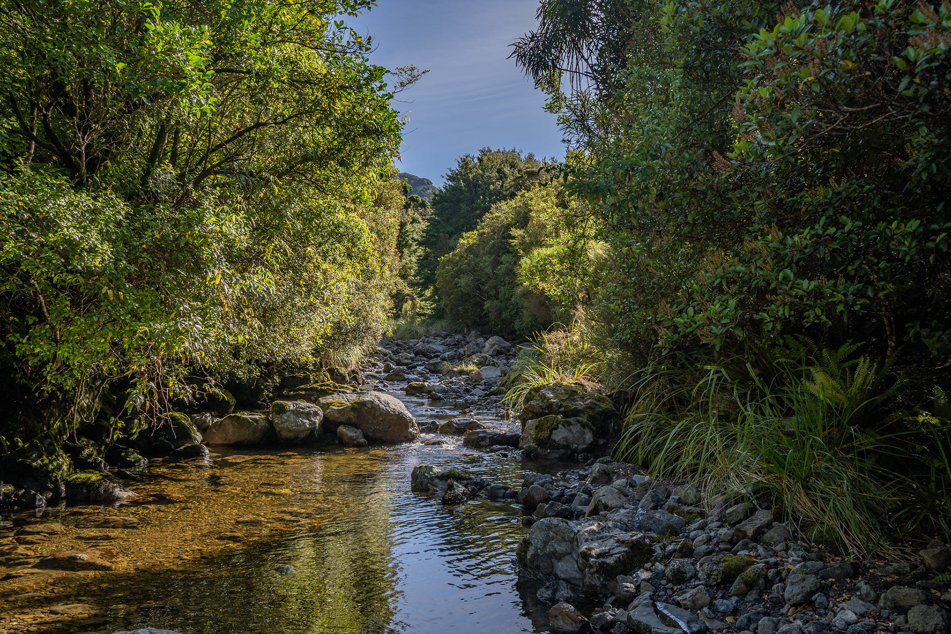
The upper College Creek, gorgeous.
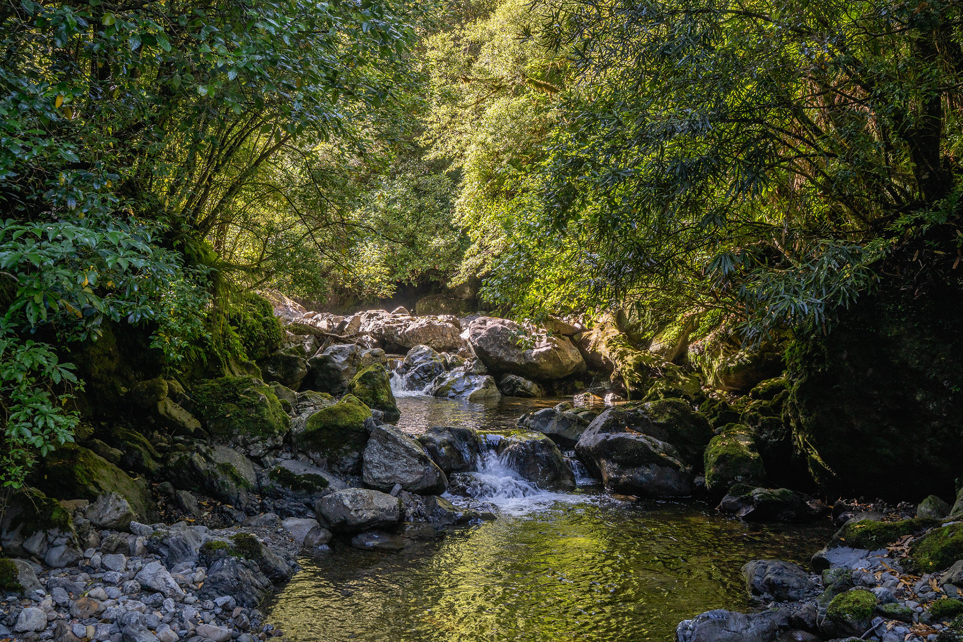
Middle reaches of the valley, closing in a bit.
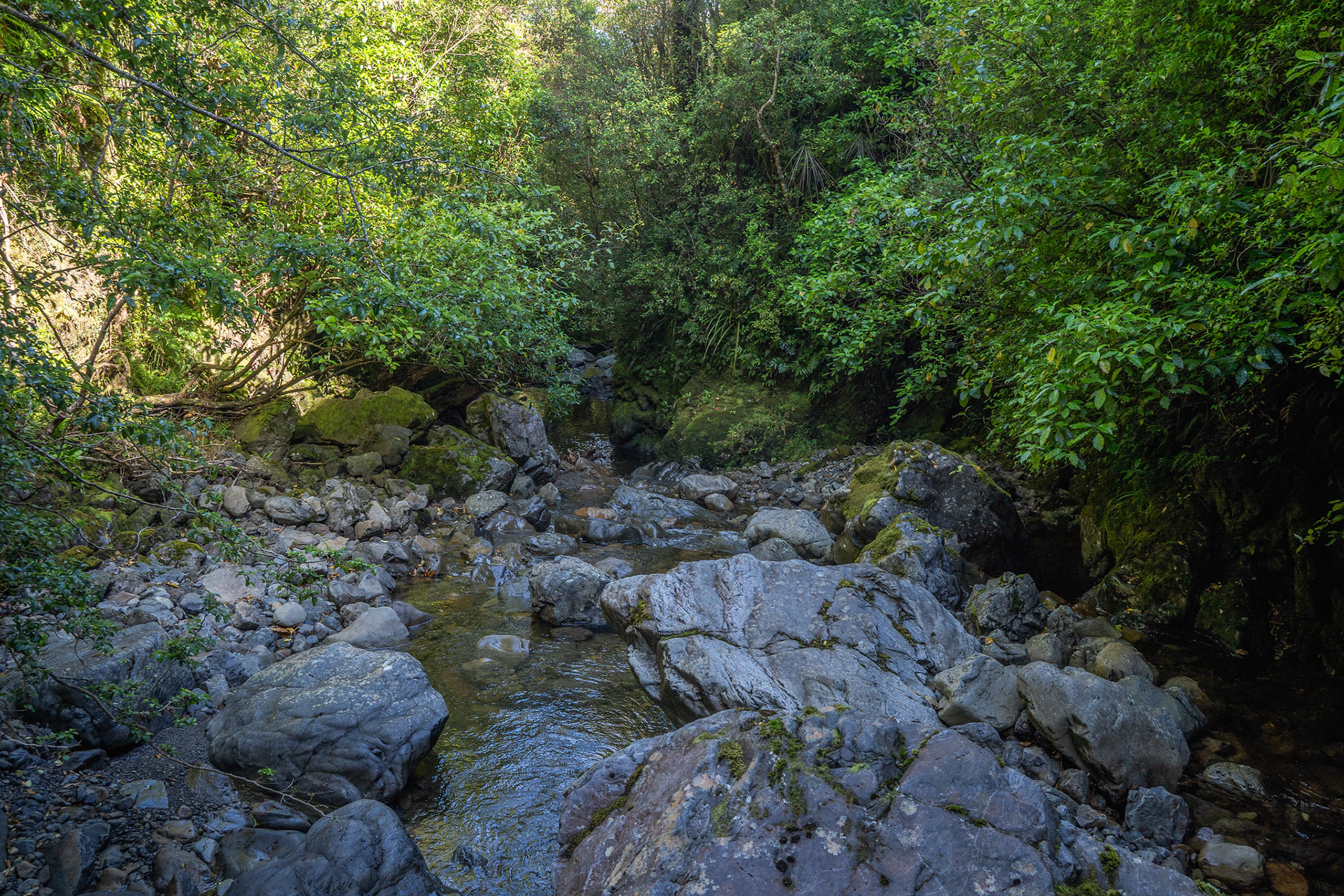
The more confined lower section, minor gorge approaching.
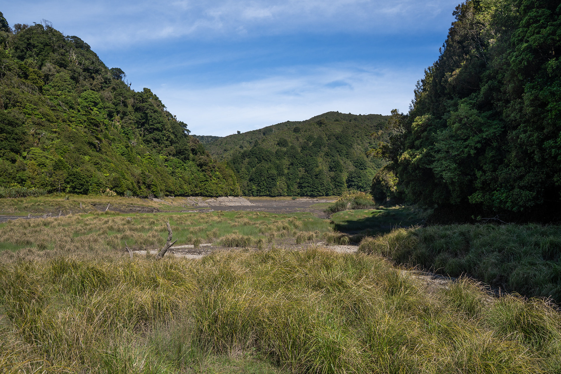
High grass flats on the eastern corner of the #1 reservoir.
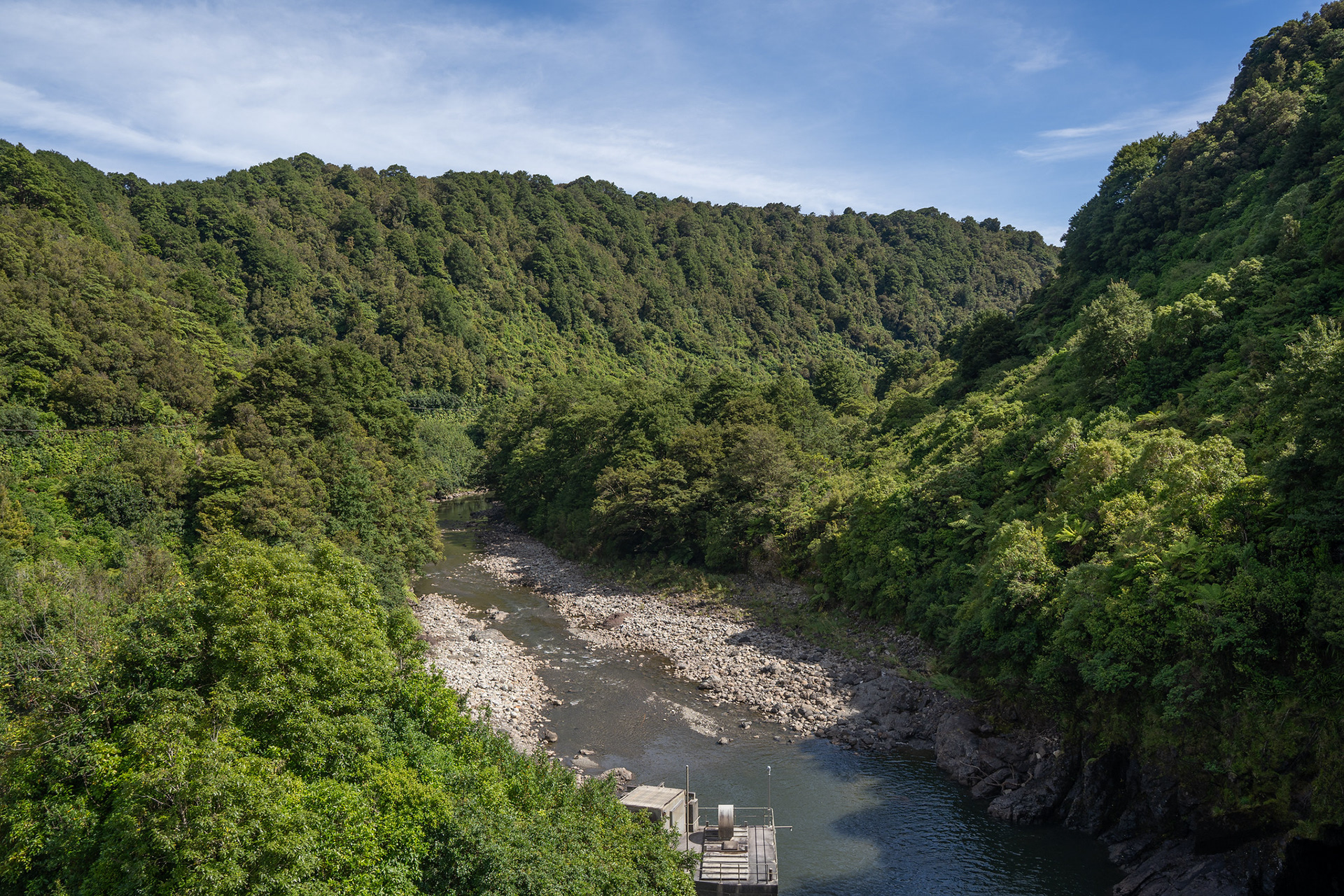
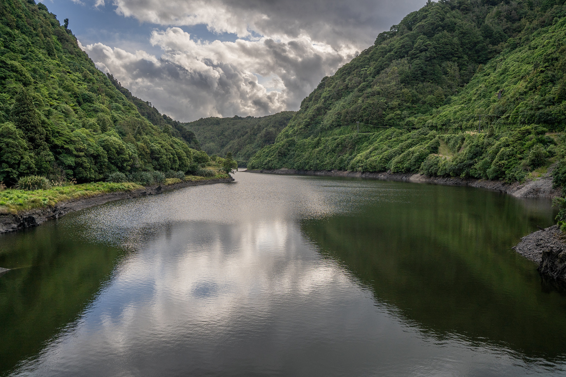
Looking down the Mangahao.
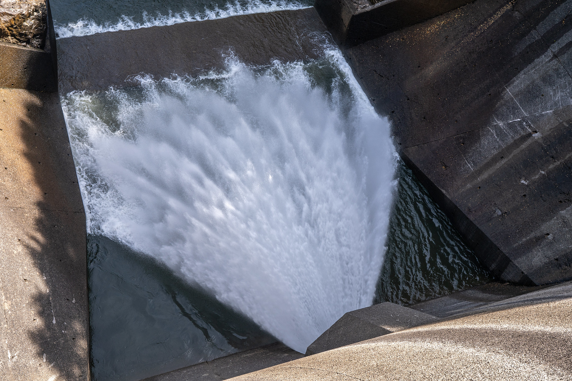
The #1 dam spillway.
The dam wall, an impressive build.