Aruwaru is a scrubby peak of moderate prominence in the northern Tararua Range. It's a decent viewpoint, though the reason for its tracked nature is almost certainly due to the lack of other superior viewpoints amongst the masses of leatherwood in the vicinity.
There is access from both sides of the range, Kahuterawa Road on the west and Naenae Road on the east. The tracks off the former are overseen by the local council, while the Argyle Track off Naenae Road came to fruition due to the extensive volunteer work by the late Ian Argyle. Both are very much followable, with significant regrowth and plenty of hook and cutty grass - it's worth wearing gaiters or long pants!
This page is written for a route starting and finishing at Kahuterawa Road (i.e. the Arapuke Mountainbike Park), this avoids a long car shuttle and is a shorter drive from Palmerston North. There is a separate entry for Aruwaru from Naenae Road.
Plenty of parking is available at the mountainbike park. Be aware that Kahuterawa Road is narrow in places (i.e. single lane), and there are often vehicles and cyclists coming the other way.
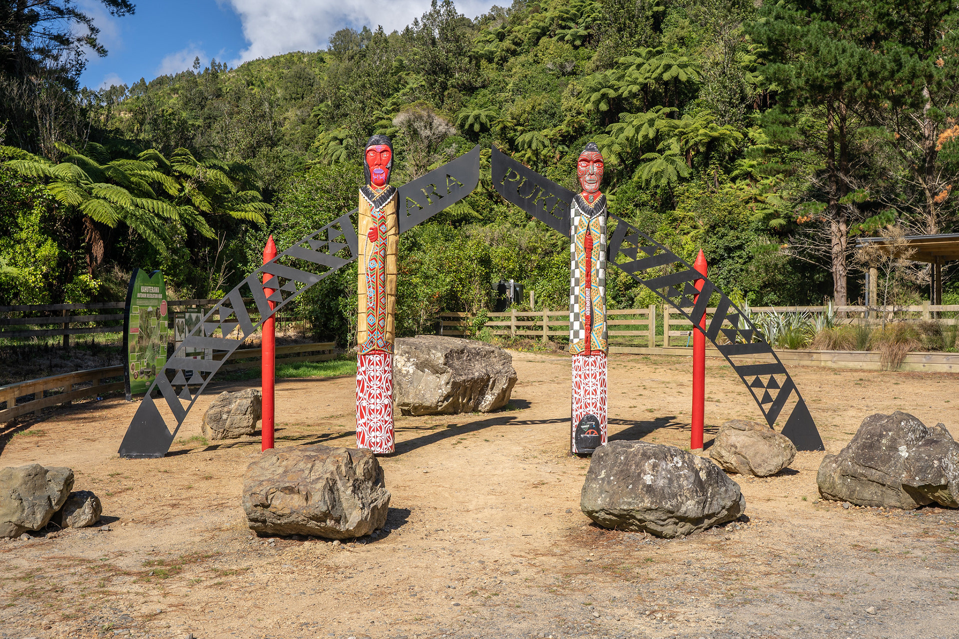
Pou at the Arapuke carpark.
The Arauwaru tracks both radiate off the Sledge Track, which is a roughly 2.5km section that travels along the true right of Kahuterawa Stream. There are a couple of sections on the latter half which climb up to clear bluff lines that abut the river, so it's about 70m of elevation gain to get to the river bridge. There is the option to cross the bridge and return home via the Back Track, but for Aruwaru one should continue on the true right of the stream.
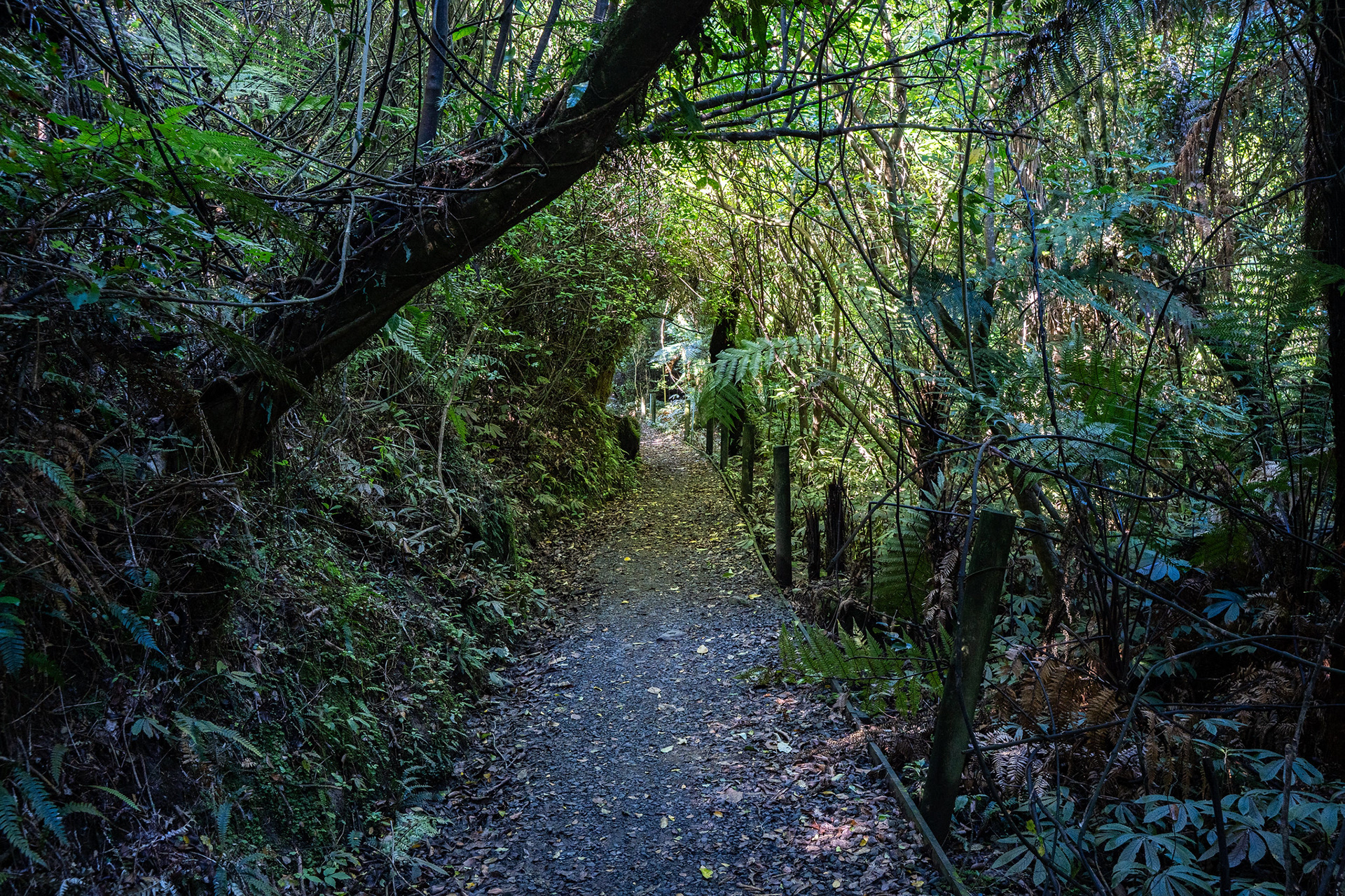
The Sledge Track is benched and mostly easy going.
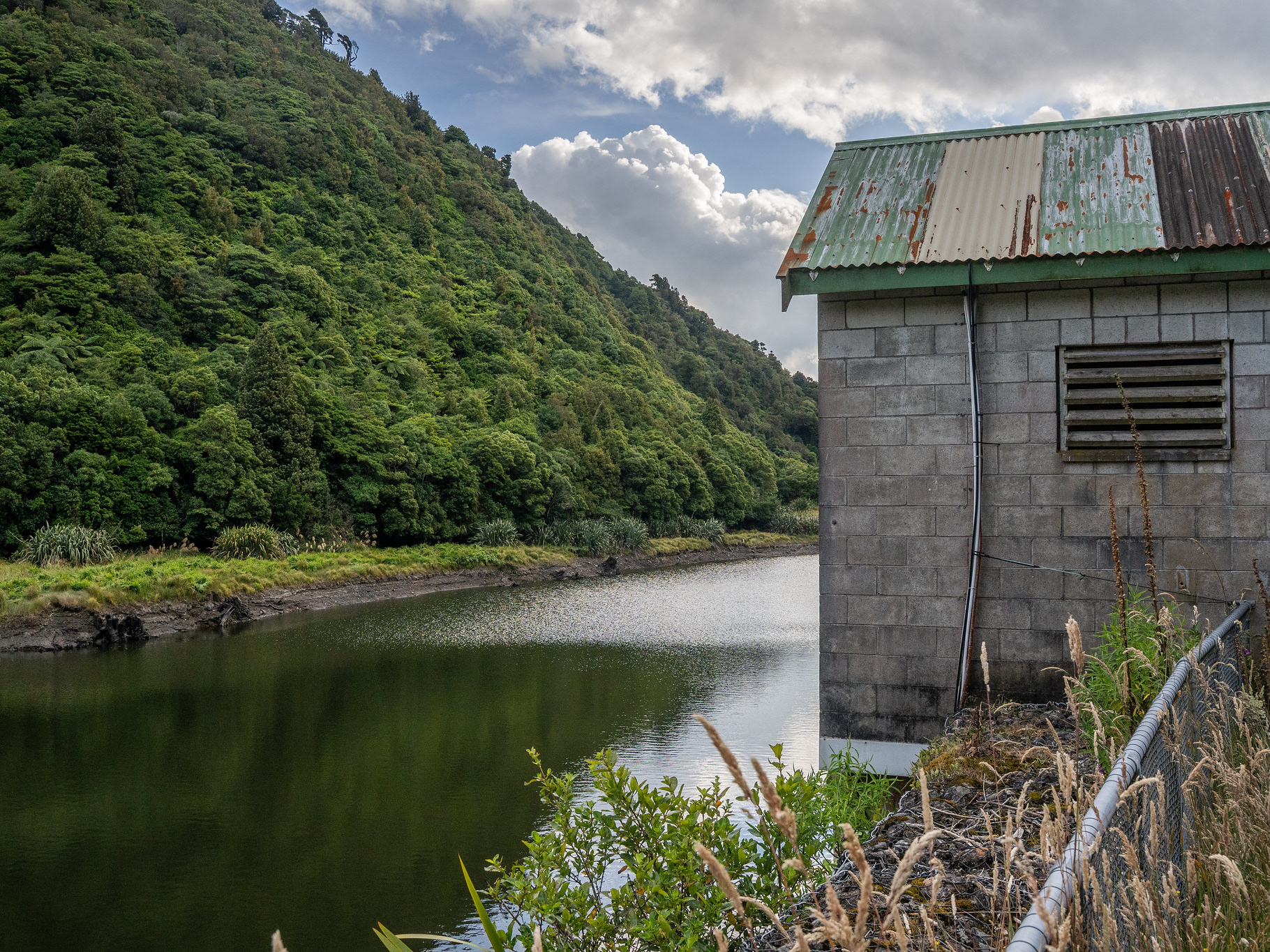
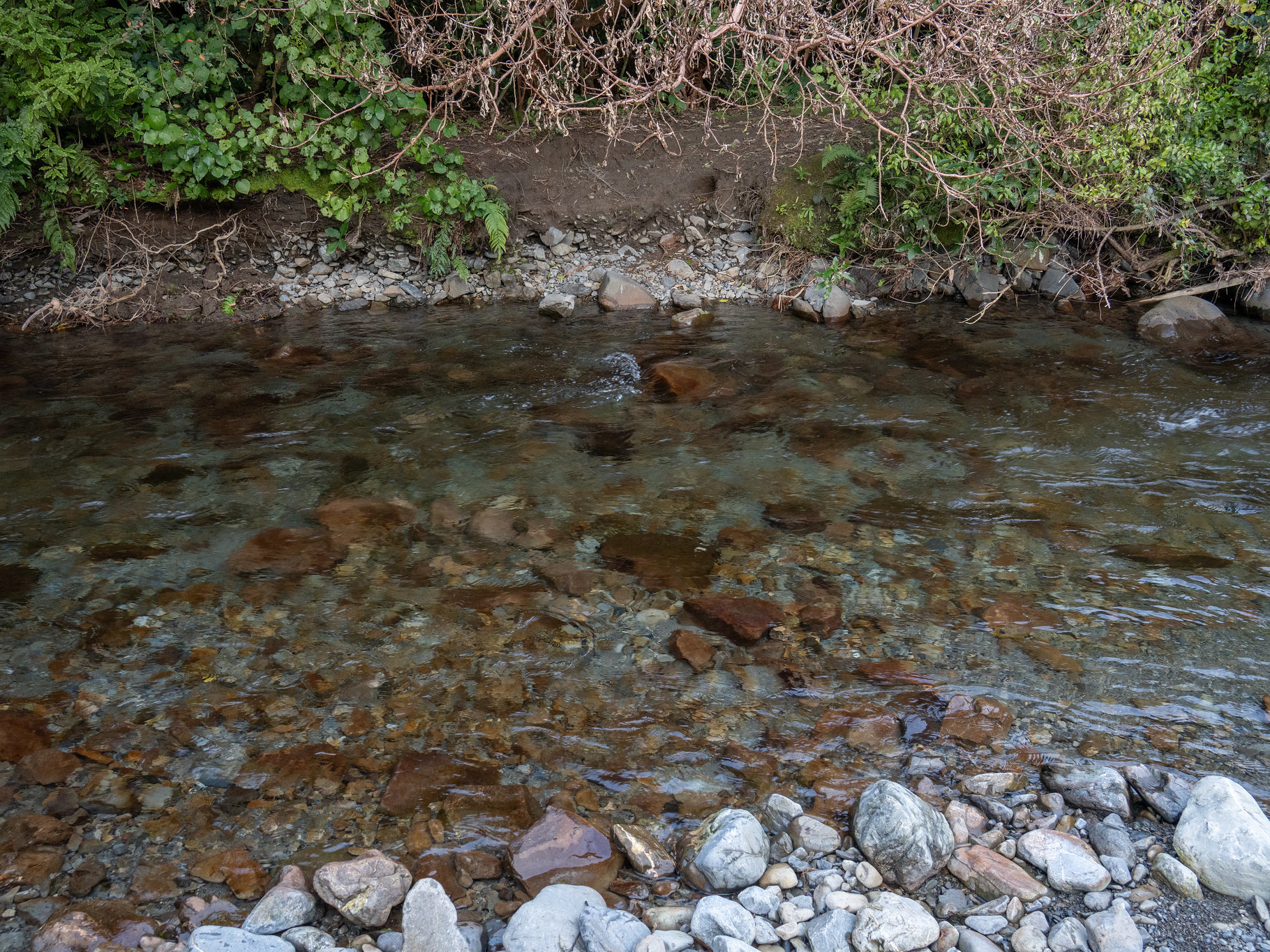
Kahuterawa Stream is actually quite nice, there are some good swimming holes near the carpark.
Soon after the bridge, I encountered a signpost which gives some directions. The more direct route up Aruwaru is not marked on the topo maps at the time of writing, but it involves heading straight ahead at the sign before crossing a small tributary and hitting the steep base of a spur.
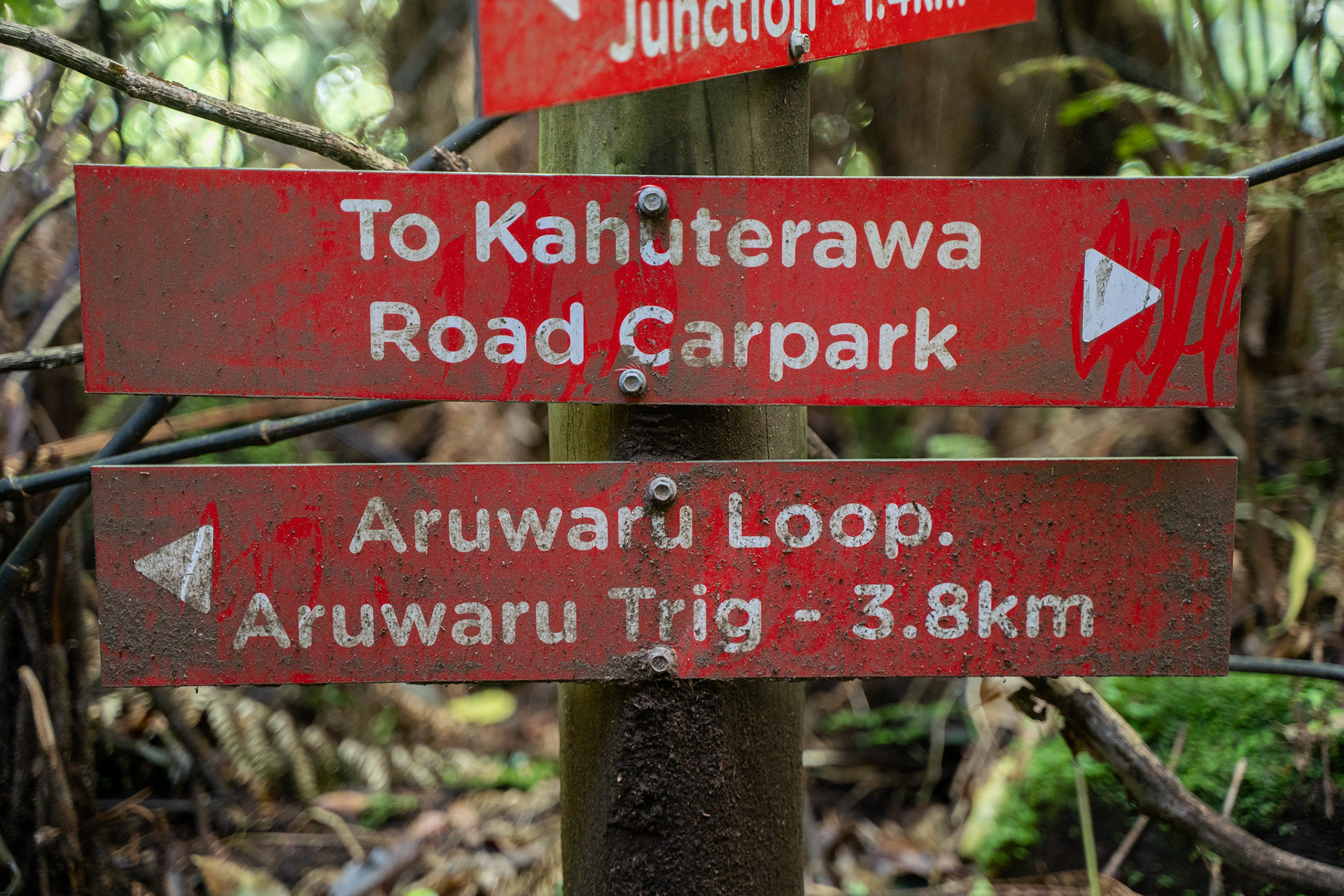
Signage by the track junction. Depending on which direction you prefer, you can go left or straight - I'd suggest straight, as it allows a steep and direct ascent with a long and gentle descent.
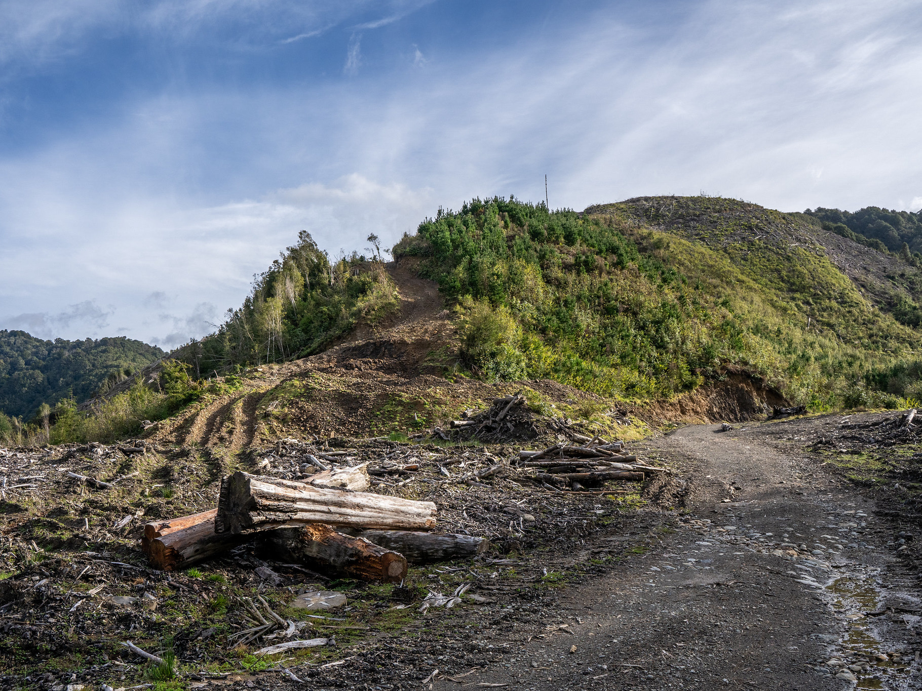
At the base of the spur, the route is marked and obvious. The first few hundred metres are quite steep as it breaks through the cliffy toe by the stream, but as of March 2025 it is well cut. The lower section is quite good going on the spur crest, but higher up it diffuses out into quasi-face travel with boggy ruts bisecting the way.
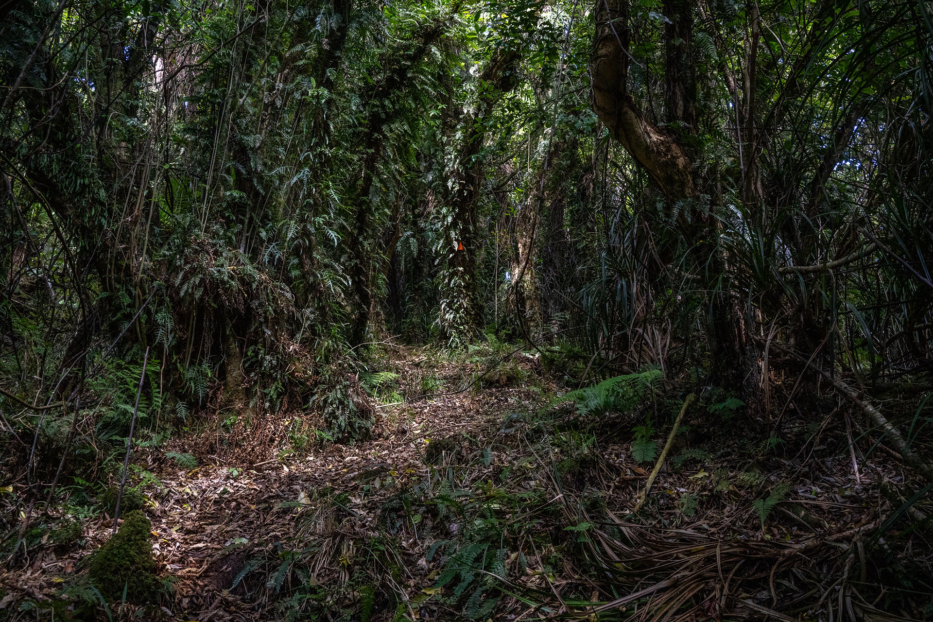
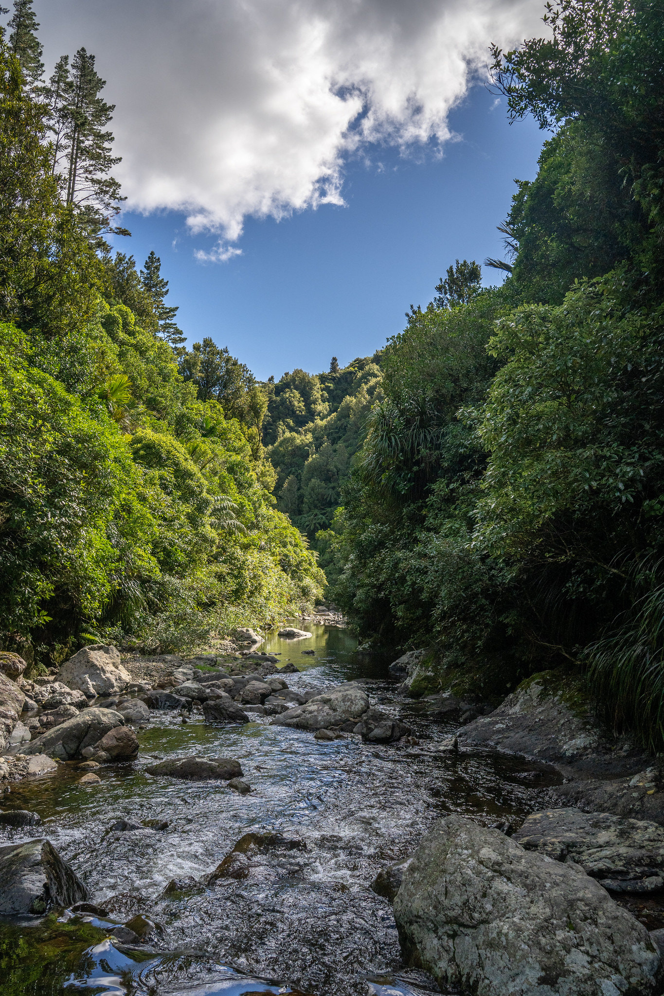
Some sections of the ascent are magical.
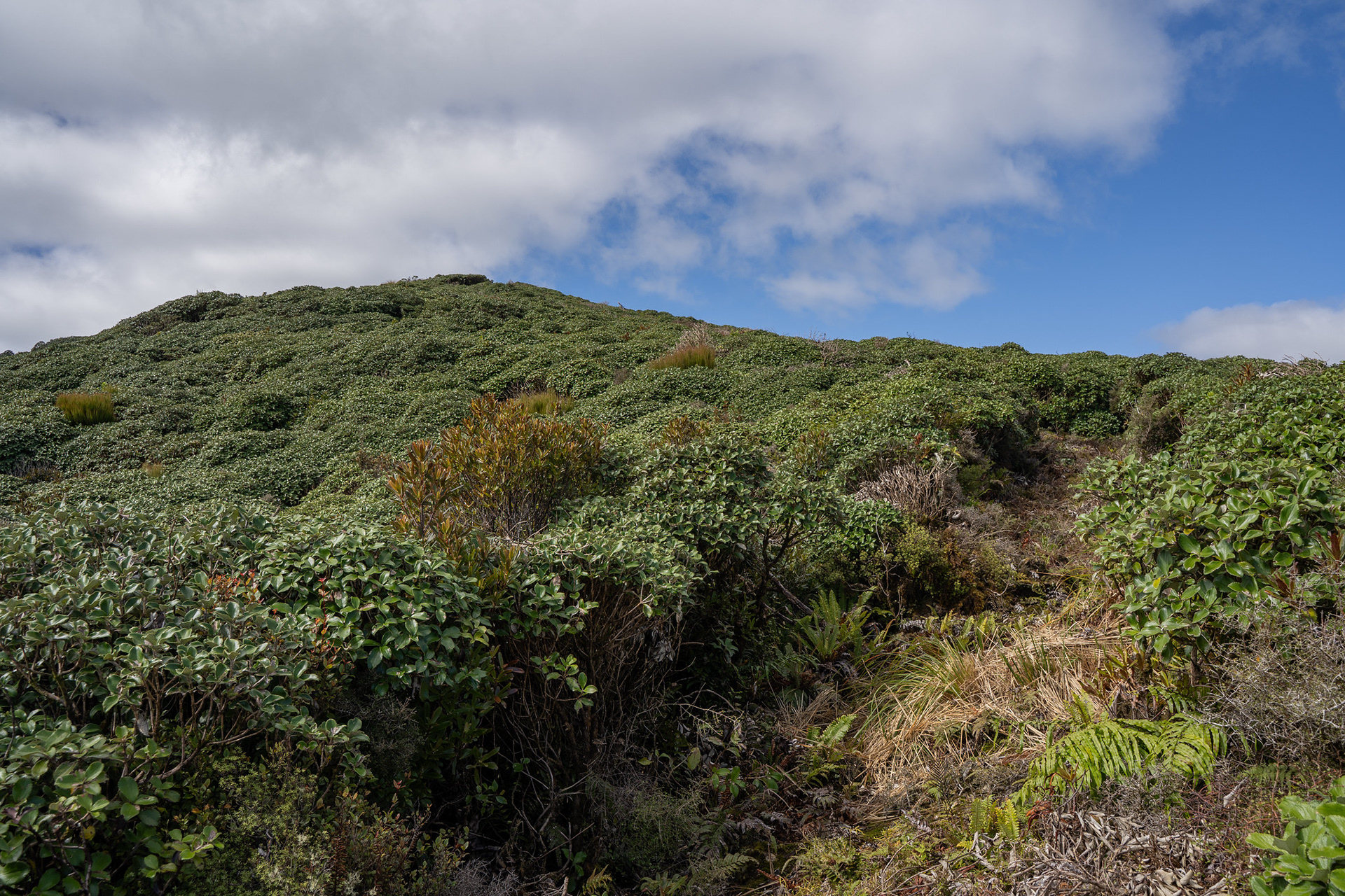
The route becomes a bit more encroached on the approach to the scrub line, then there's some cut travel through pepperwood scrub. With that breached, it's a short section through leatherwood which has been well and truly cut back.
The final approach to the summit of Aruwaru.
The summit gives reasonable views. They're certainly not bad, we're just very spoilt in NZ for mountain vistas and as such rolling hills and pastoral lands are merely reasonable. The trig is delightfully large, and on a sunny day is a lovely spot to lunch. Time to the summit would vary with fitness, it took me 1:30 but that is probably quicker than most. I would suggest allowing a day for the entire loop, which will give most parties a significant degree of conservatism.
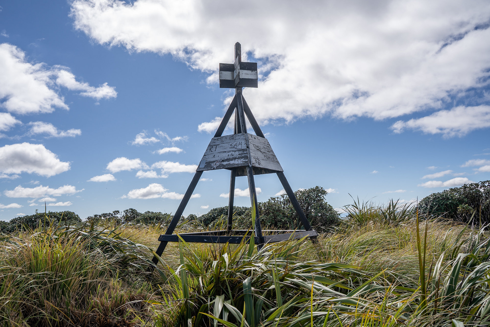
The trig on the summit of Aruwaru.
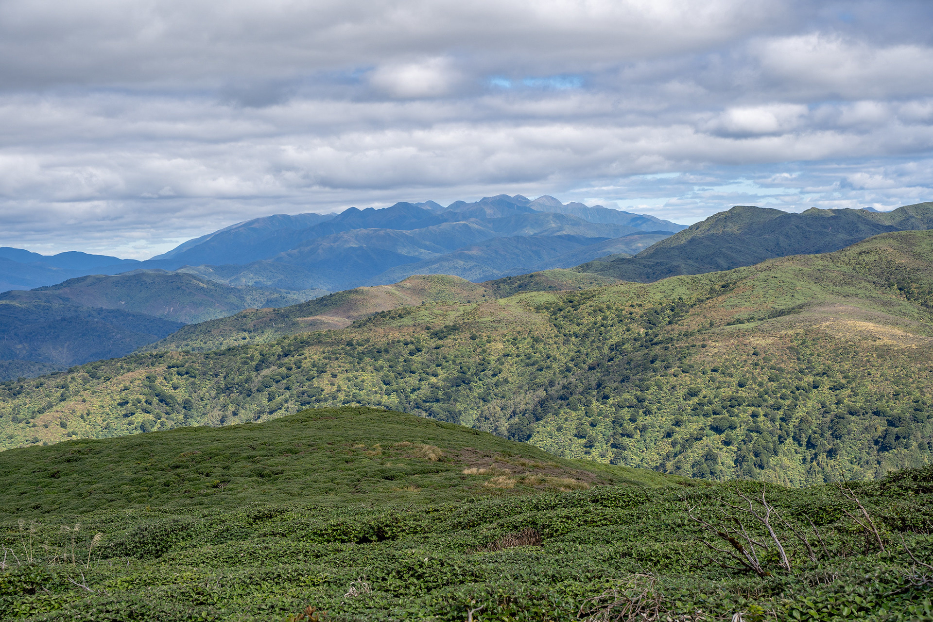
The view south to the higher Tararua peaks.
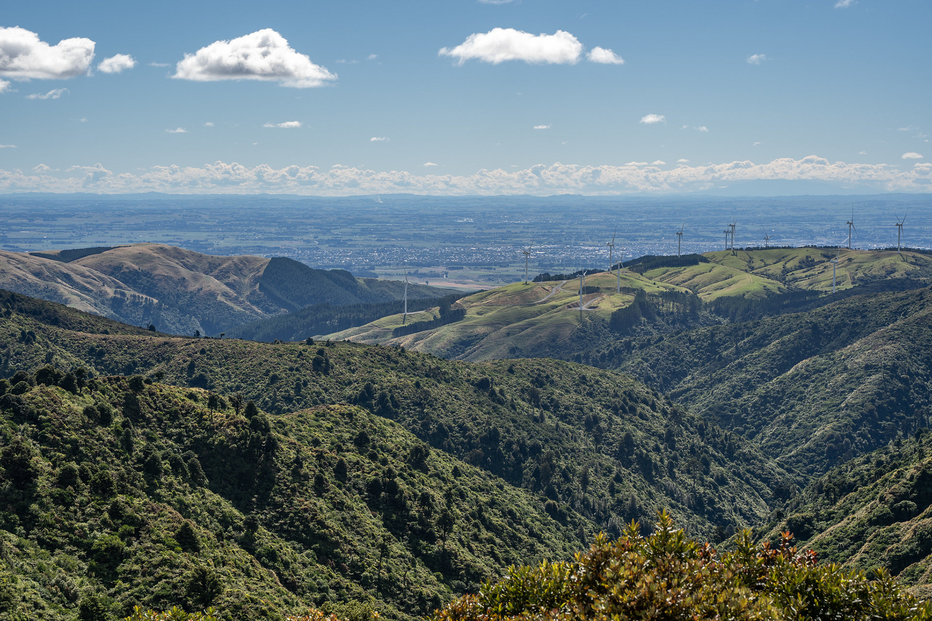
Over to Palmerston North.
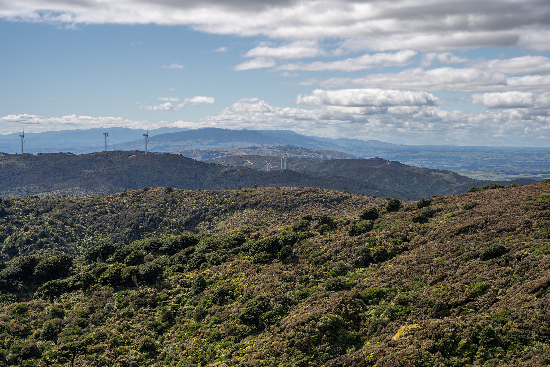
North to the Ruahine Range.
Completing the loop involves descending over to pt. 664 and then dropping down your choice of either arm of the Otangane Loop Track. After crossing pt. 550, an often muddy drop takes you back down to the Sledge Track junction with an easy walk back to the carpark. Total trip time was about 3:15, but your mileage may vary.
A pleasant walk close to Palmerston North with views, certainly worth doing at least once.