Ross Peak isn't exactly a household name, dwarfed in recognition by its adjacent peak Wharite. The latter has a transmission tower and a road, Ross Peak has leatherwood and lots of it. Nonetheless, it's a fun day trip destination with minimal driving time from Palmerston North.
Ross Peak stands at 1053m, with minimal prominence across all aspects. It's a smallish bump in a series of knobs along the main crest of the Ruahine Range, so the motivation for naming the peak is not completely clear. Nevertheless, it sees a small amount of patronage.
Most of those who have stood on its summit have come in via the No. 2 Line track from the west, though it should be noted that the route actually spends a significant portion of its time on private farmland that is not technically part of Ruahine Forest Park. I don't have knowledge of whether that accessway is permitted under a gentleman's agreement as a lot of the western access is, the tramping club reports indicate there is a DOC sign at the park boundary though the western approach to Ross Peak immediately swings SE and back out of the public land. It's worth seeking landowner details to request permission for this approach, or alternatively coming in via the much longer eastern approach as I did.
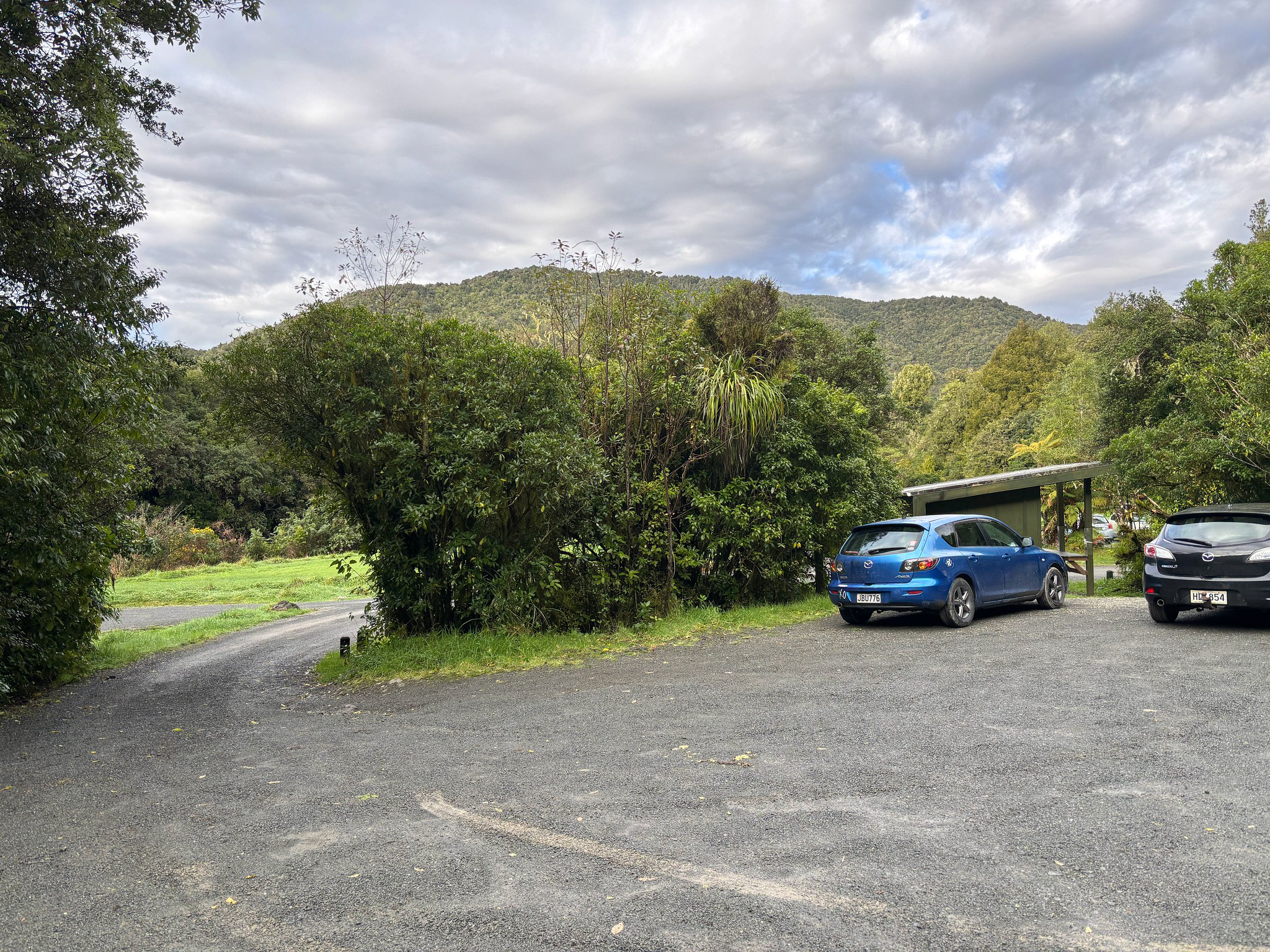
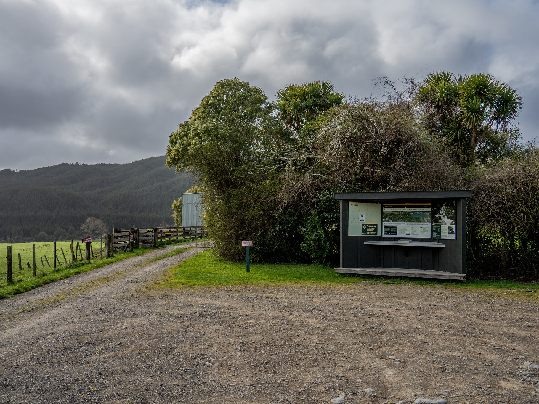
The eastern approach is readily access off either Wharite or the Coppermine catchment. The former is probably easier with the lesser elevation gain, though also spends more time in the scrub. The Coppermine option is also good, and involves setting off via the Coppermine Loop Track with an initial push through farmland. The landowner graciously permits access year round, so please respect the stock present.
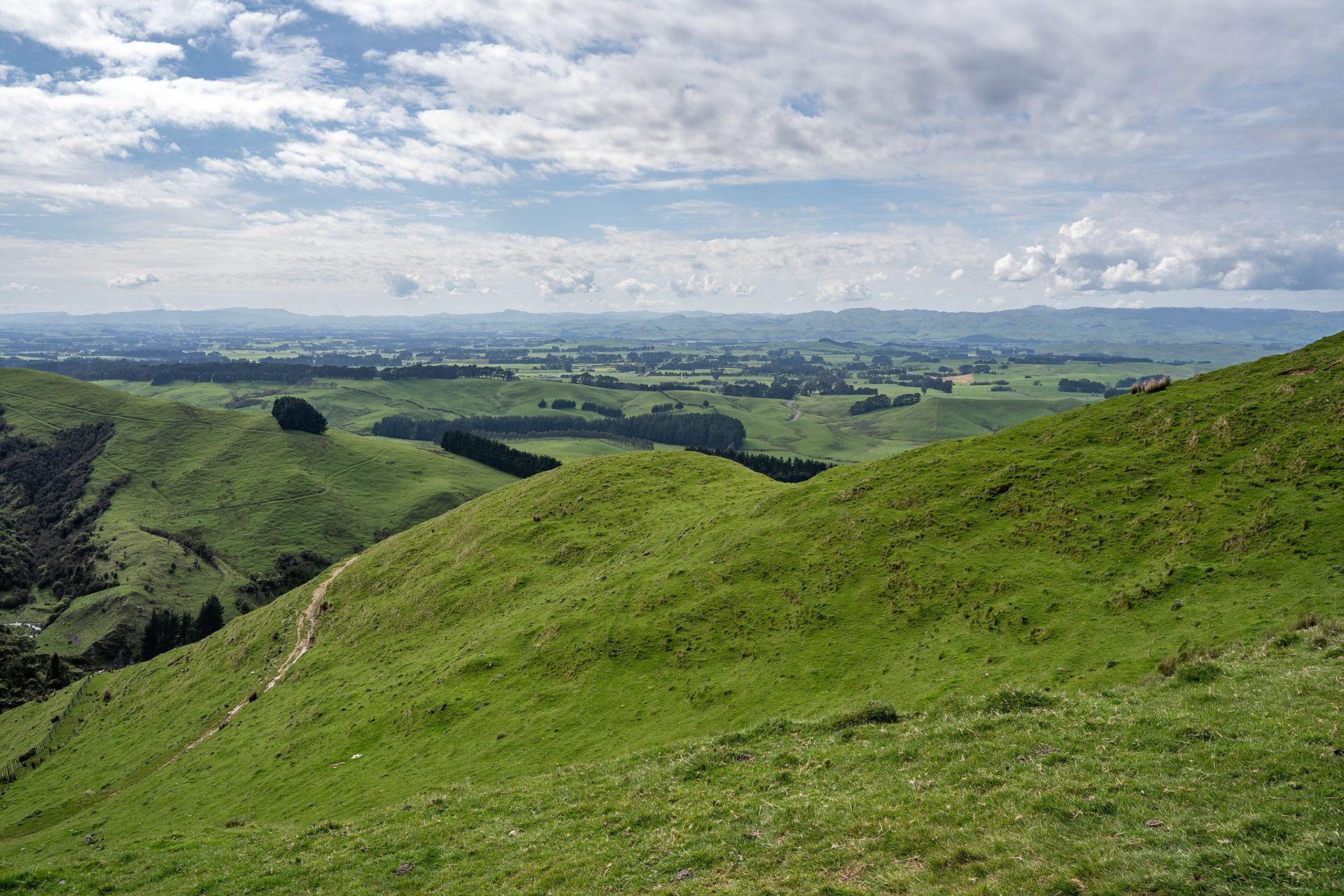
The lush farmland on the Coppermine Loop Track.
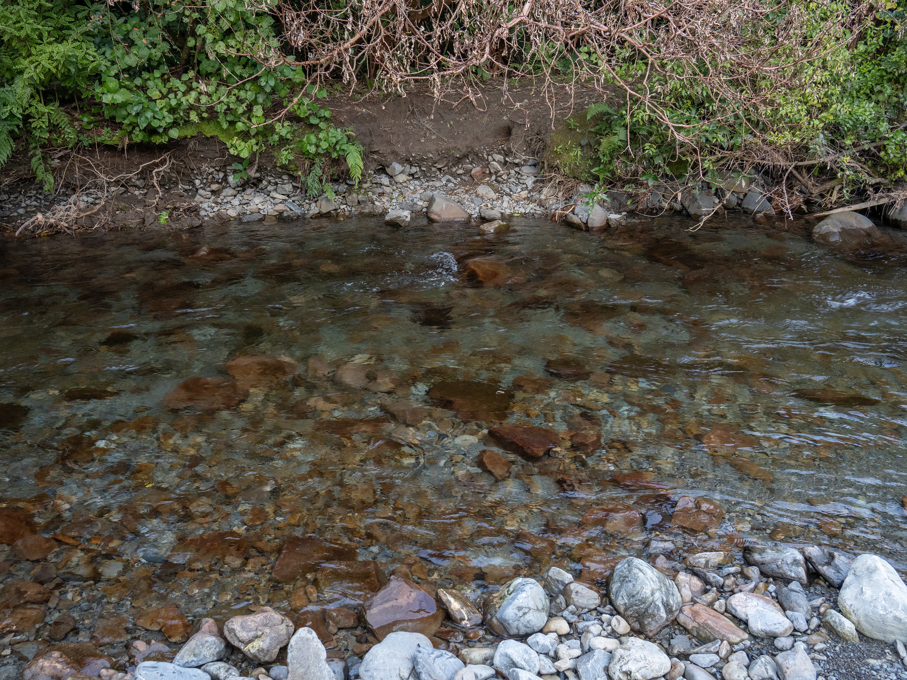
It's a pleasant series of switchbacks through the pastoral land, though marking is sometimes sporadic and some junctions are best guess. The marking on the topo map is also completely wrong, the correct access is to cross the creek on your right when leaving the carpark and commencing the climb immediately. There is a GPX file included at the base of this for further reference.
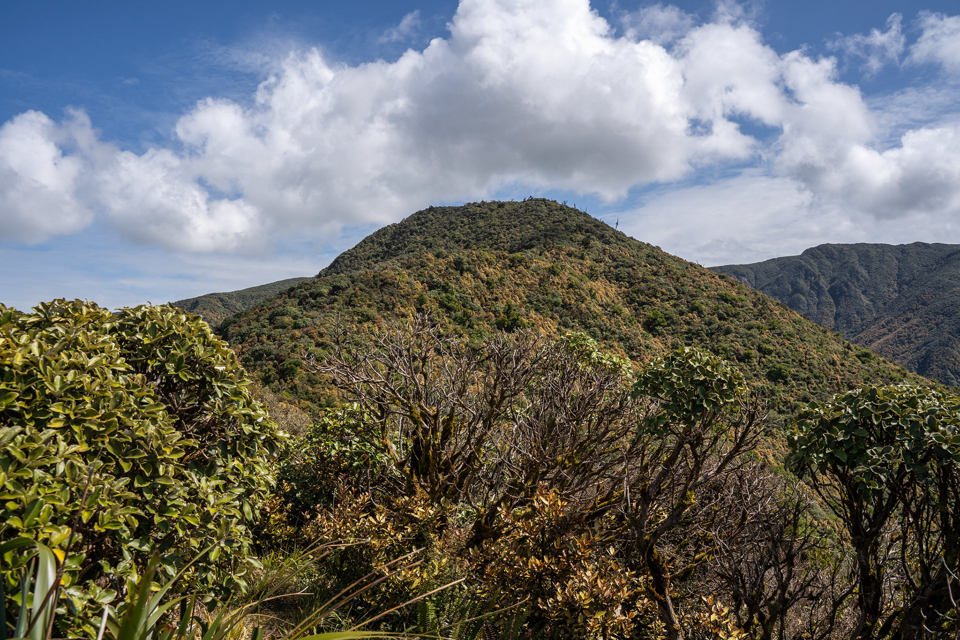
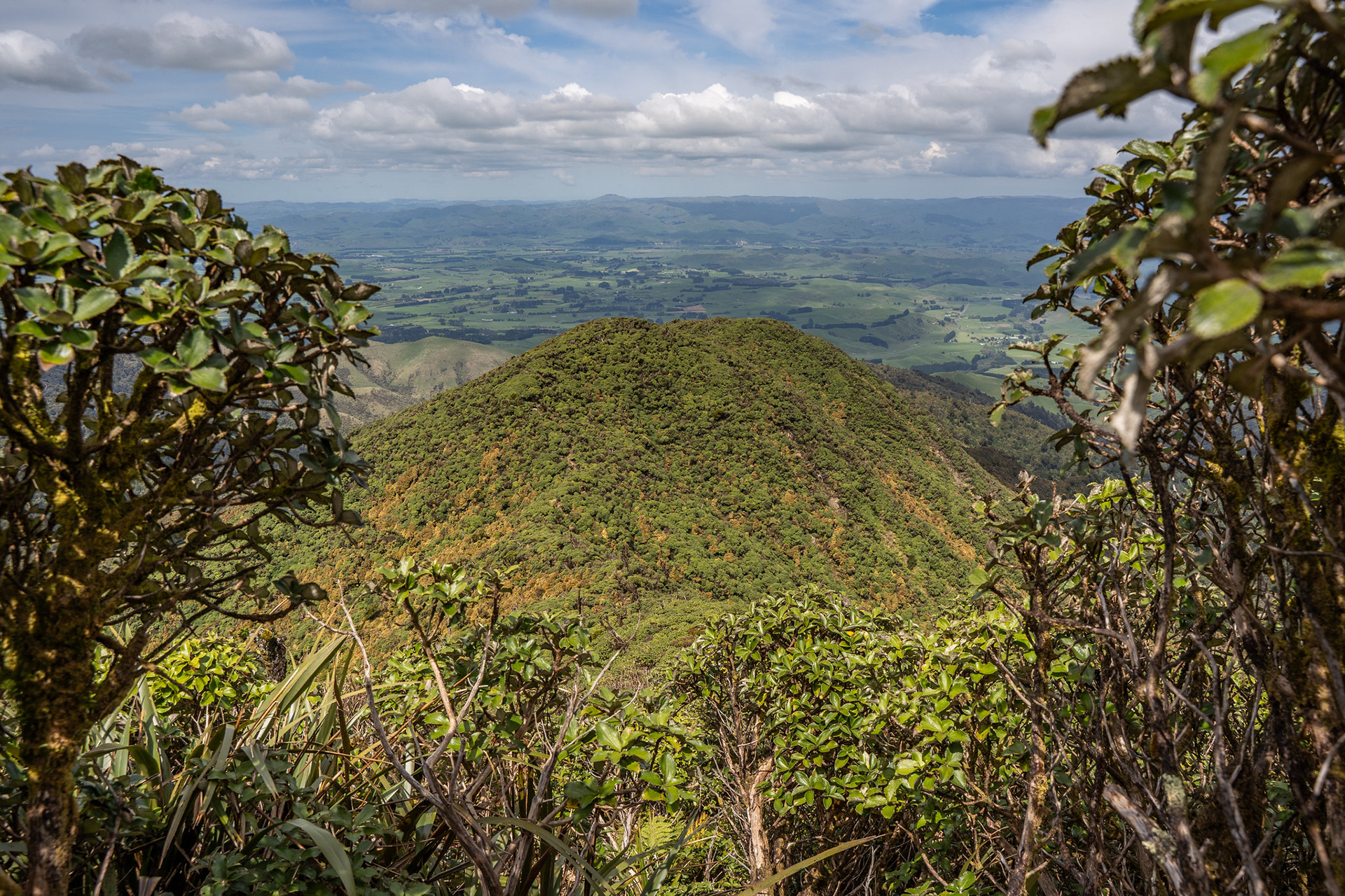
Around half an hour in, the bushline is reached and a stile crossed. This offers views up to pt. 1015, which looks imposing with its rolling leading ridge and scrubby cloak.
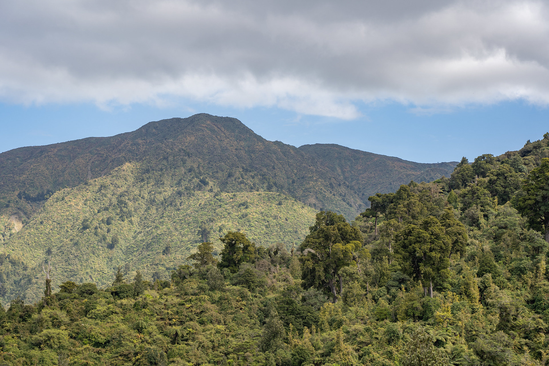
The view up to pt. 1015 from the margin of the farmland.
Once under the canopy, the track is well formed and pleasant. There's a moderate climb up to 730m, at which point the track into Mangatua Stream takes off into a low saddle. As it begins to descend into the adjacent valley, following the natural lie of the ridge crest will lead to an old track being picked up that is presumably upkept by hunters. The track is scarcely marked, but it soon reaches the scrub zone at which point it becomes difficult to lose.
Into the scrub on the approach to pt. 1015.
The route is navigationally easy, though there are more ups and downs than the topo map would imply. Still, the fact there is still a workable track is very fortunate. It is shown on the 1989 maps but not the 1999 version, so I guess that's 30-ish years of volunteer upkeep in the interim. Eventually, pt. 1015 becomes a bit more obvious as a pleasantly symmetrical high point.
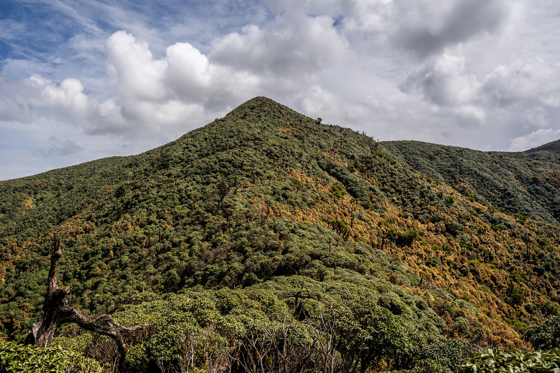
Continuing the leatherwood journey up to pt. 1015.
There is little to mark pt. 1015, beyond a steep and muddy section on the approach. Still, it represents the end of the protracted climbing and a switch to the ups and downs on the main range crest. There remains a cut track on the top, though it is encroached in places and you are better off not wearing your best clothes. Still, the 40 minutes it took between pt. 1015 and Ross Peak would be unheard of in raw leatherwood.
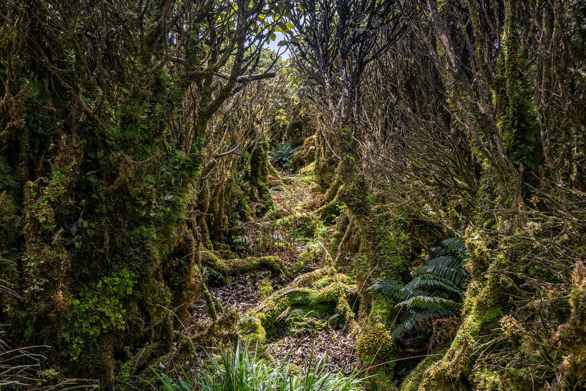
The leatherwood channel.
The trig becomes visible from quite a distance, though it feels like it takes an unreasonably long time to close that final gap. Some of the scrub is quite stunted, so at least there are panoramic views to ease the suffering.
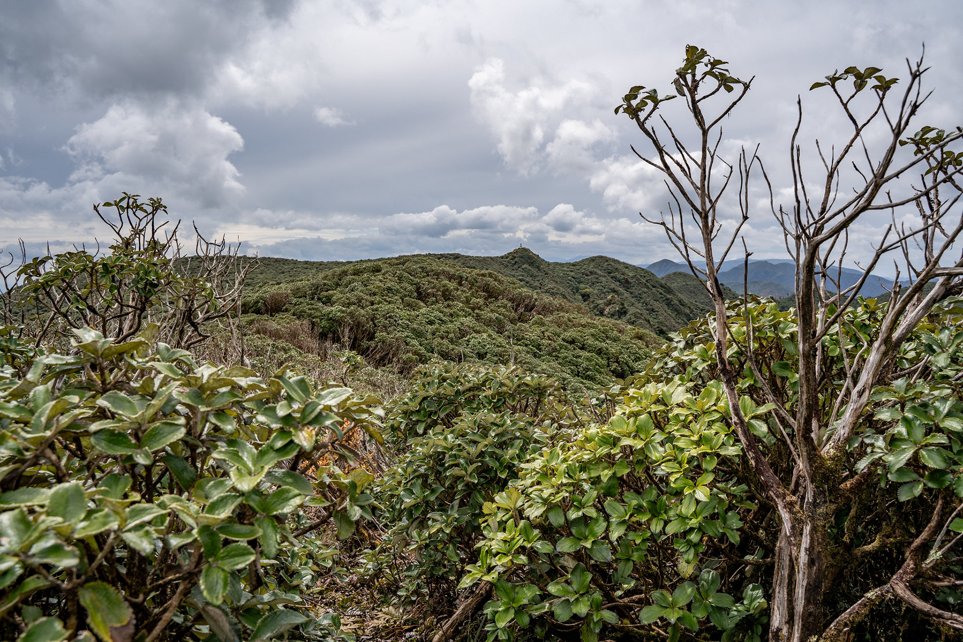
Eyeing up the Ross Peak trig in the distance.
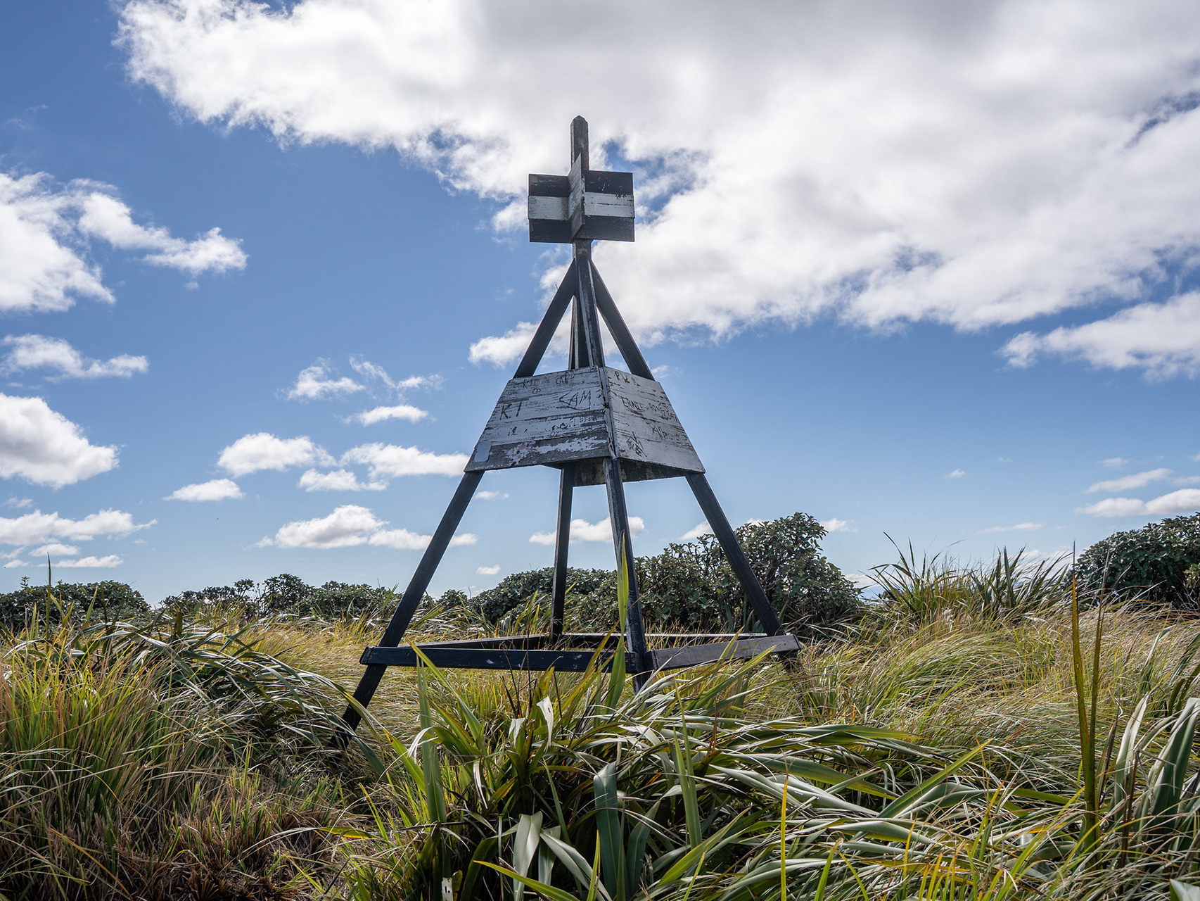
2.5h after setting out, I broke through the last of the scrub to the minor clearing which houses the trig. In fairness, it is a grand trig - similar in size to the one on Aruwaru. The peak also reveals itself to have quite a steep western face, and lovely views out to the seemingly eternal masses of leatherwood in the southern Ruahines.
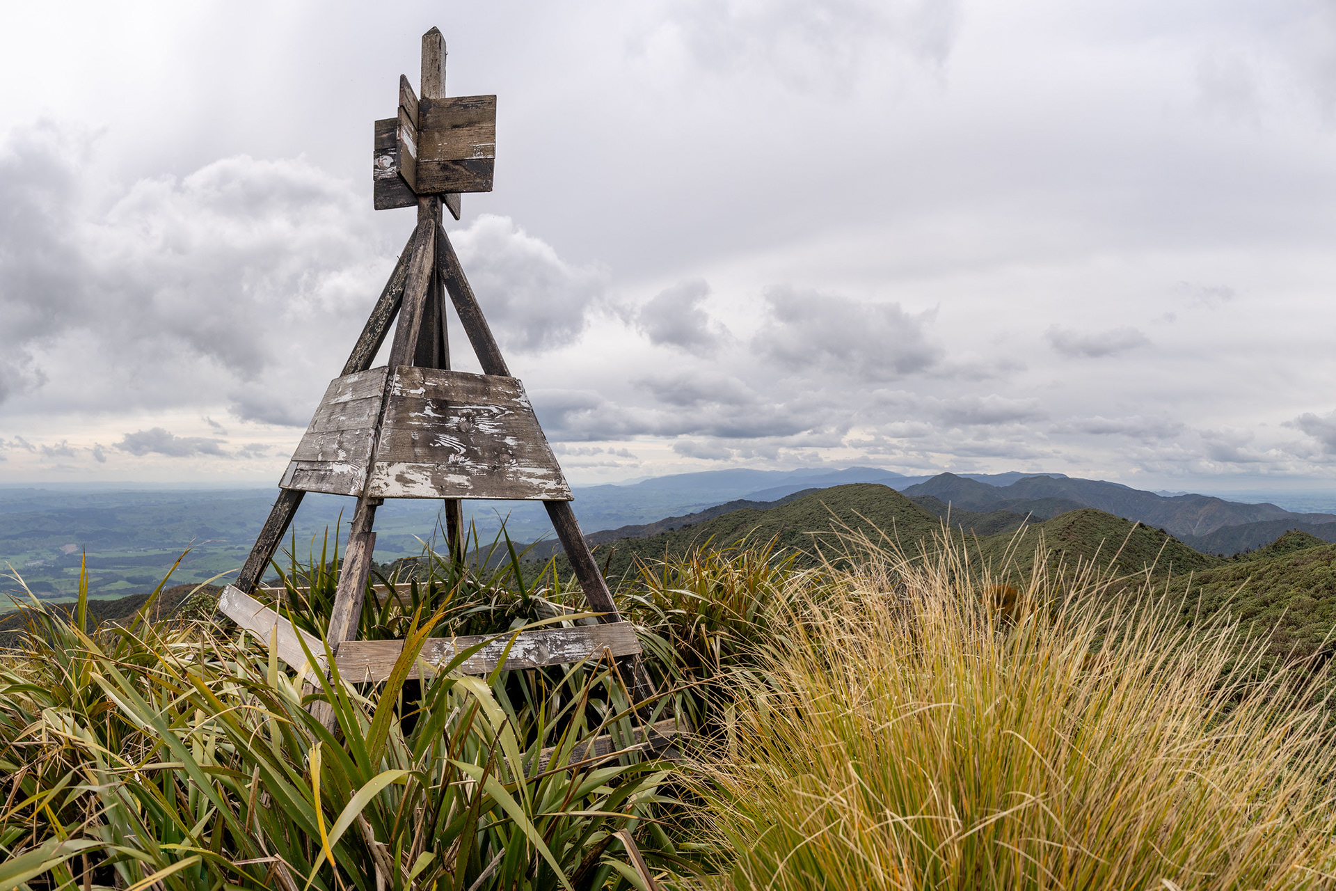
The Ross Peak trig.
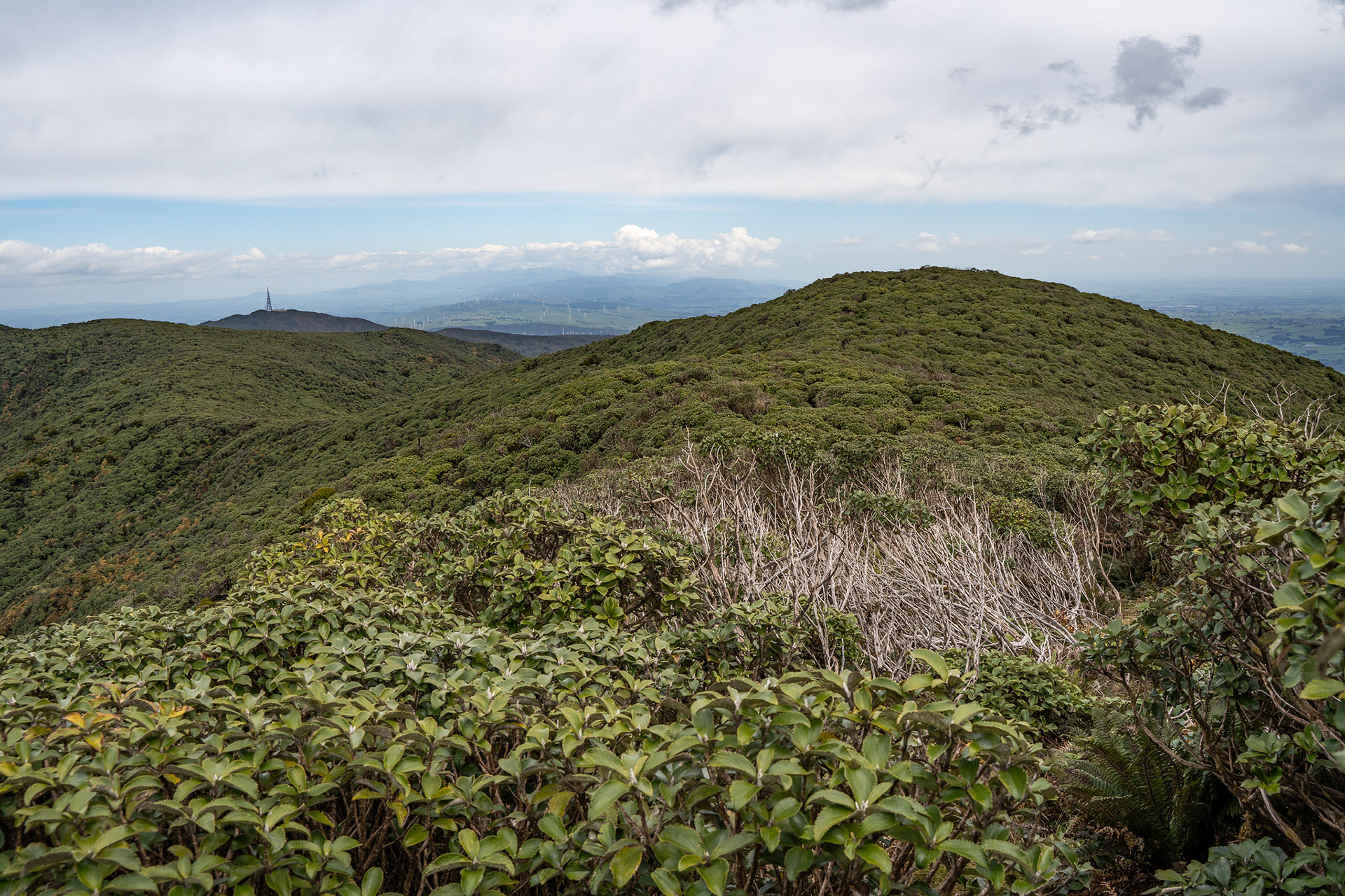
The surrounding scrublands, Wharite background left.
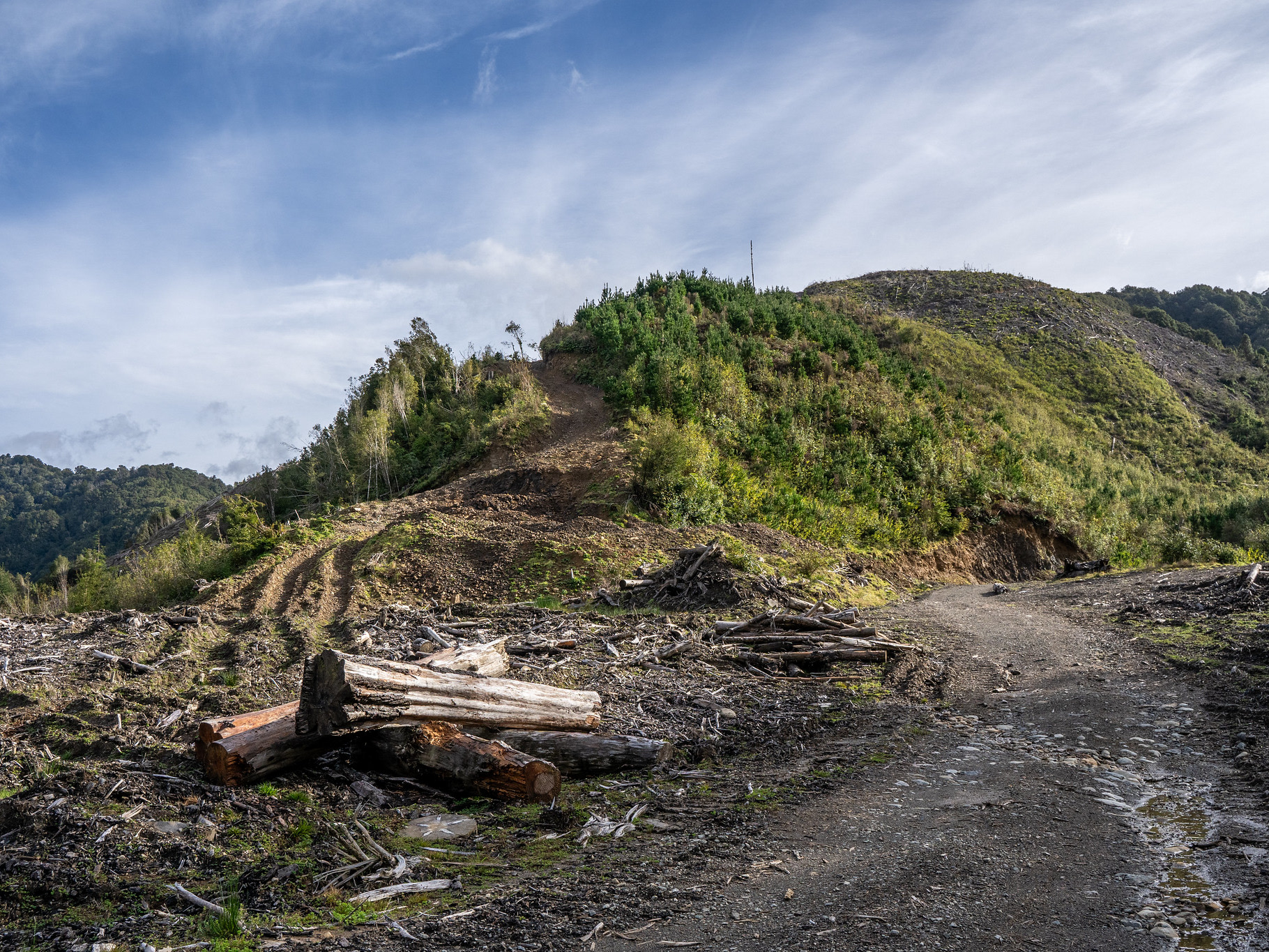
There are options to descend in many directions, though it's probably best to just return the same way. The Ruahine roadends can be spatially close, but because of the private land it's inevitably tens of kilometres to bridge. There is the option to come out via the main Coppermine Track for the final section, which takes a similar amount of time and adds some variation. However, note that option is currently closed due to a large slip.
Either way, it's a chance to enjoy shedding the hard earned elevation and reflect on another peak bagged.
Dropping down the knobbled SE ridge of pt. 1015.