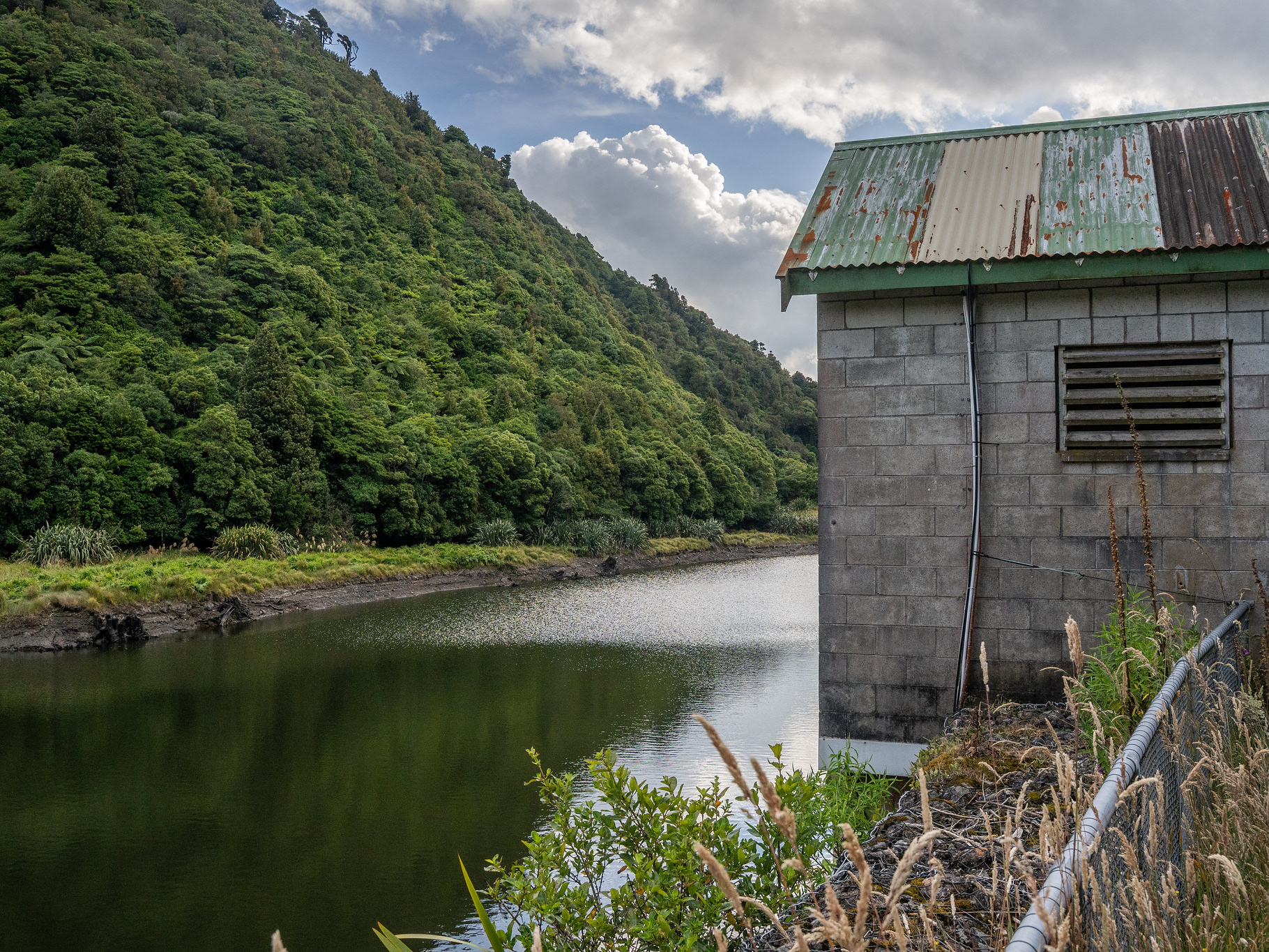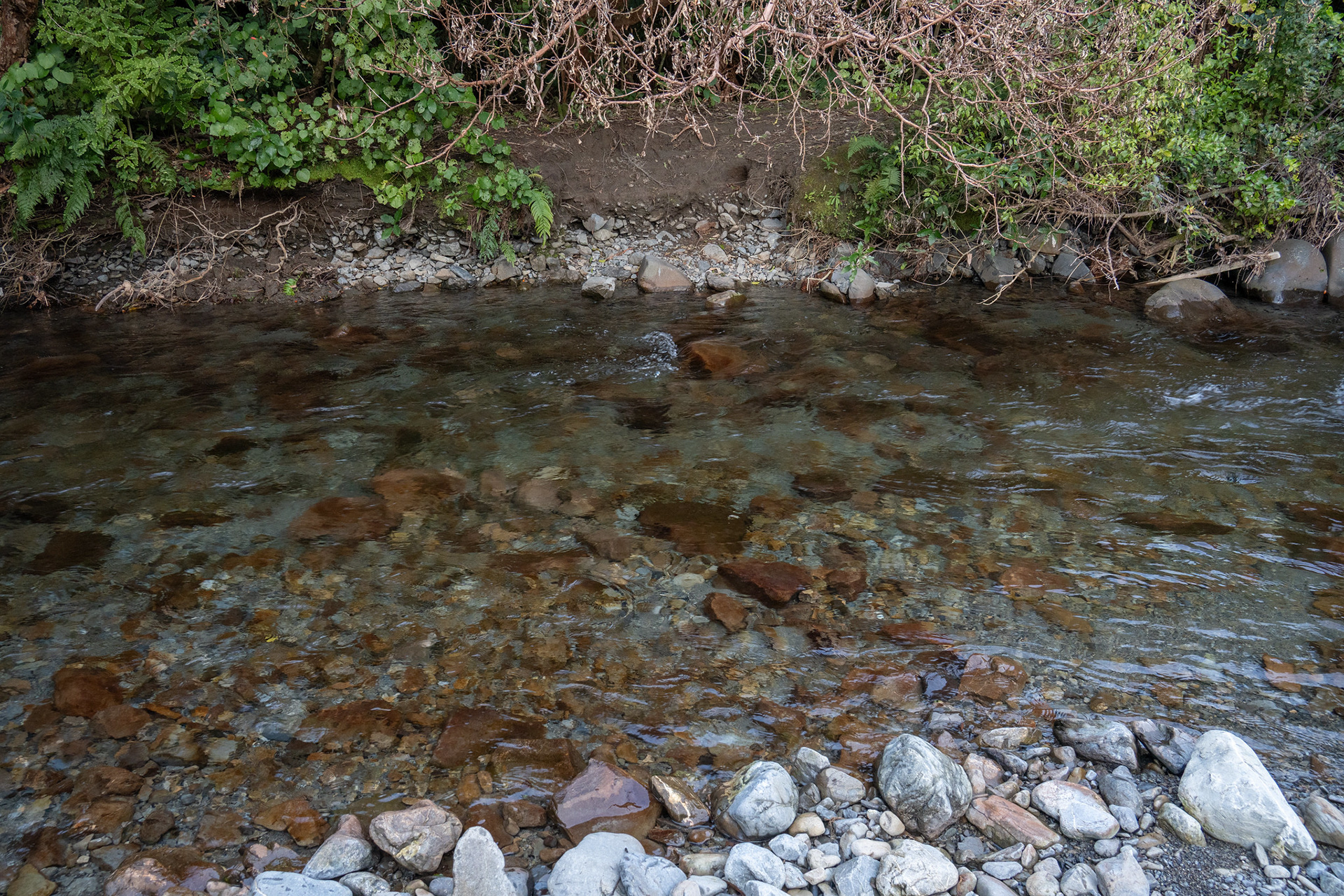
The first of the Ngatiawa River crossings in typical flow.
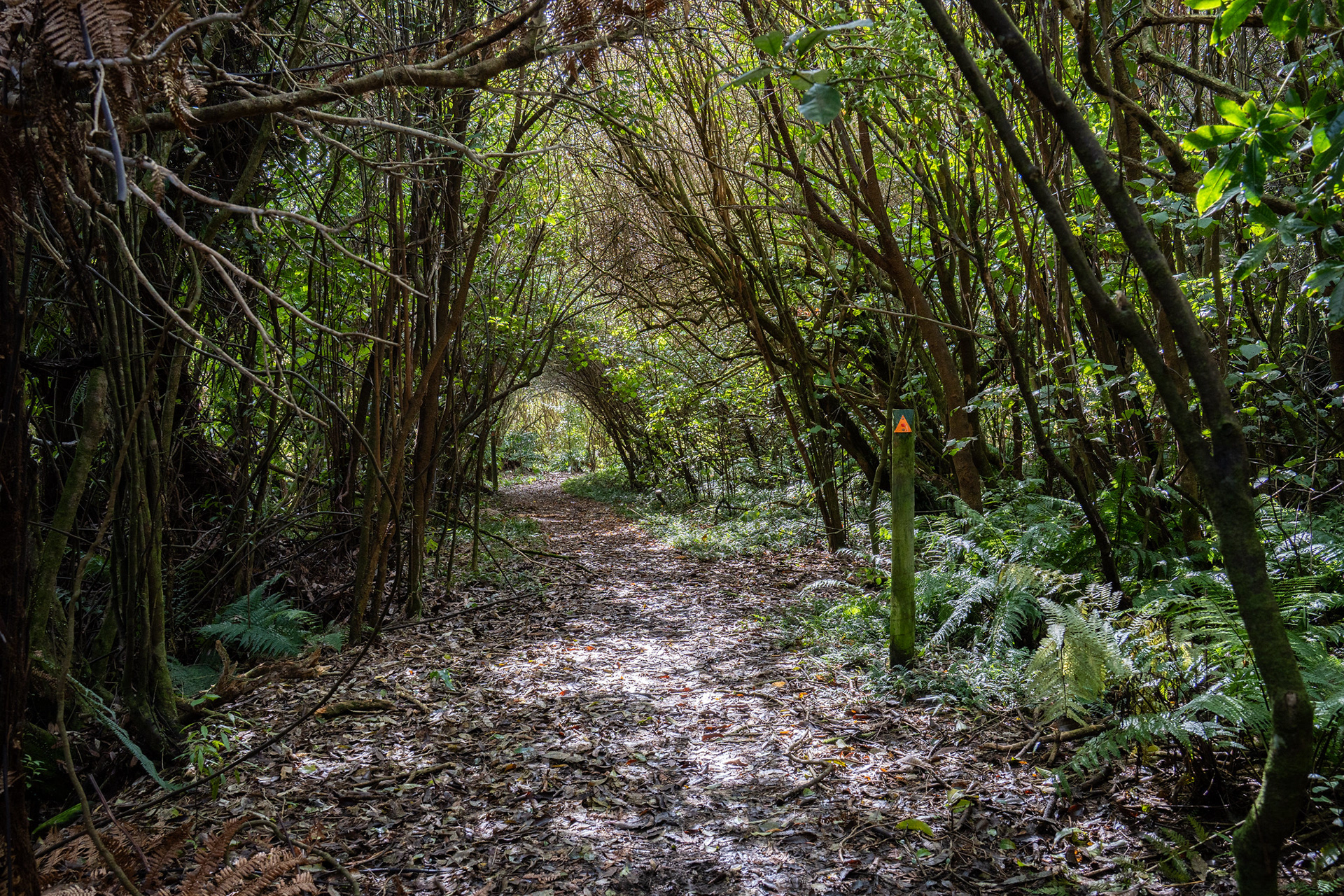
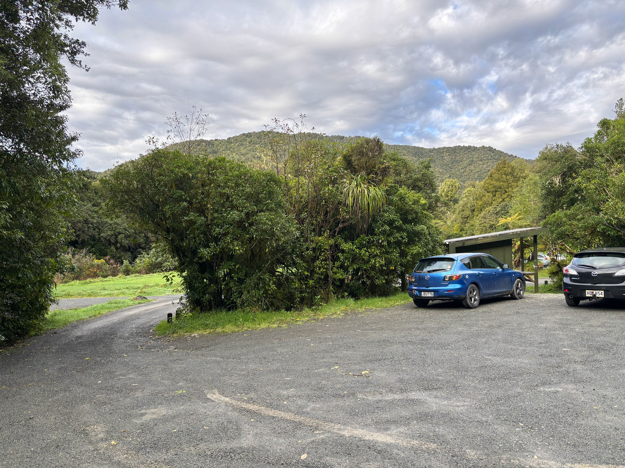
The early benched travel by the Ngatiawa River.
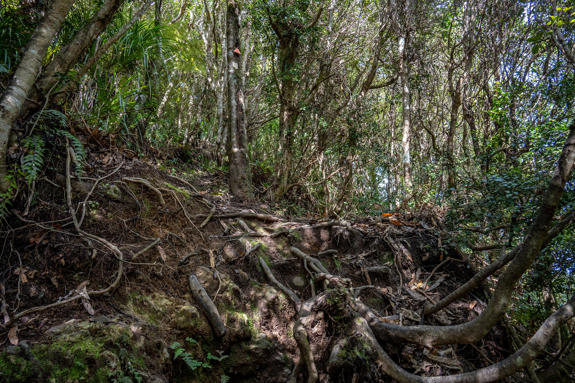
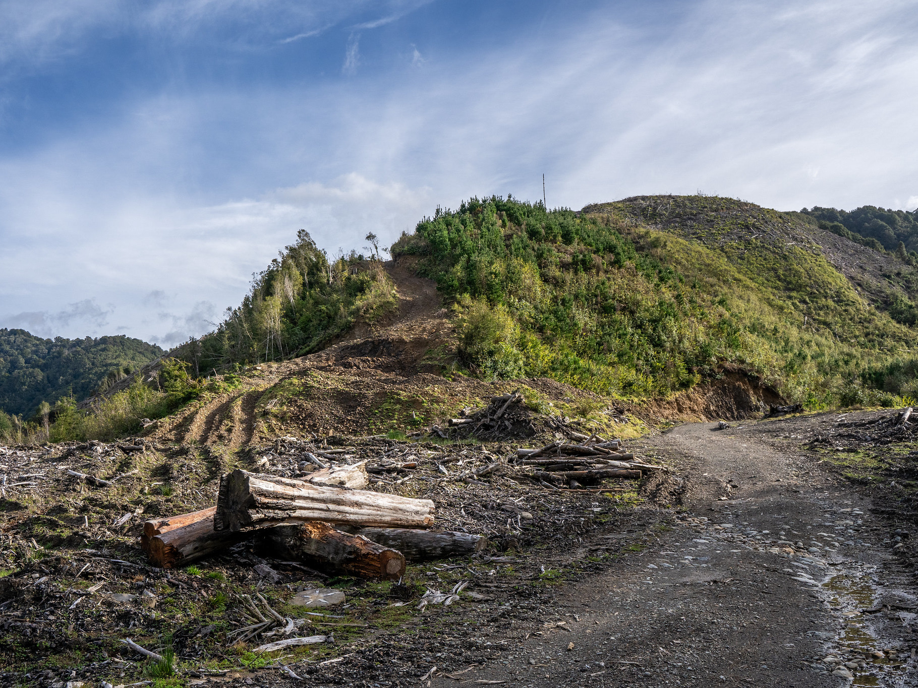
Some of the ascent is rooty, though most is well formed.
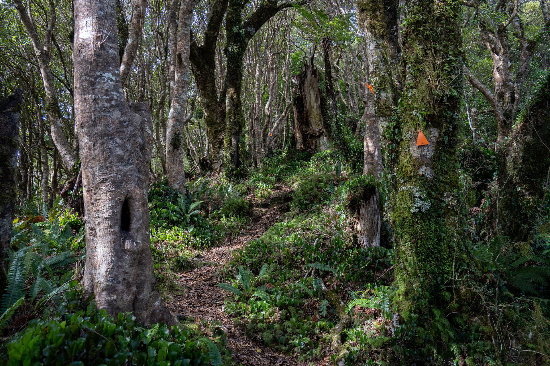
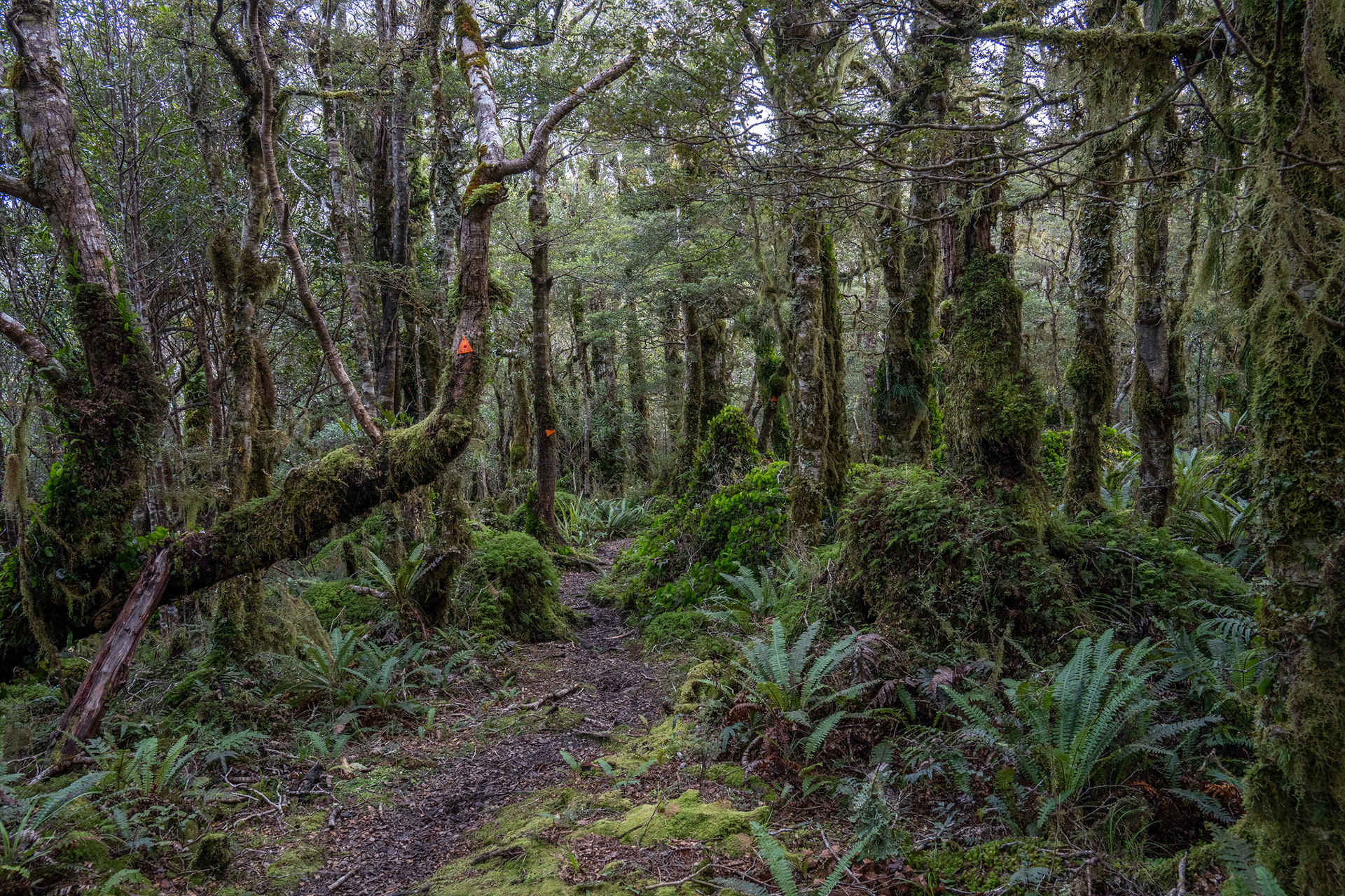
As the climb progresses, the vegetation becomes quite lush and mossy.
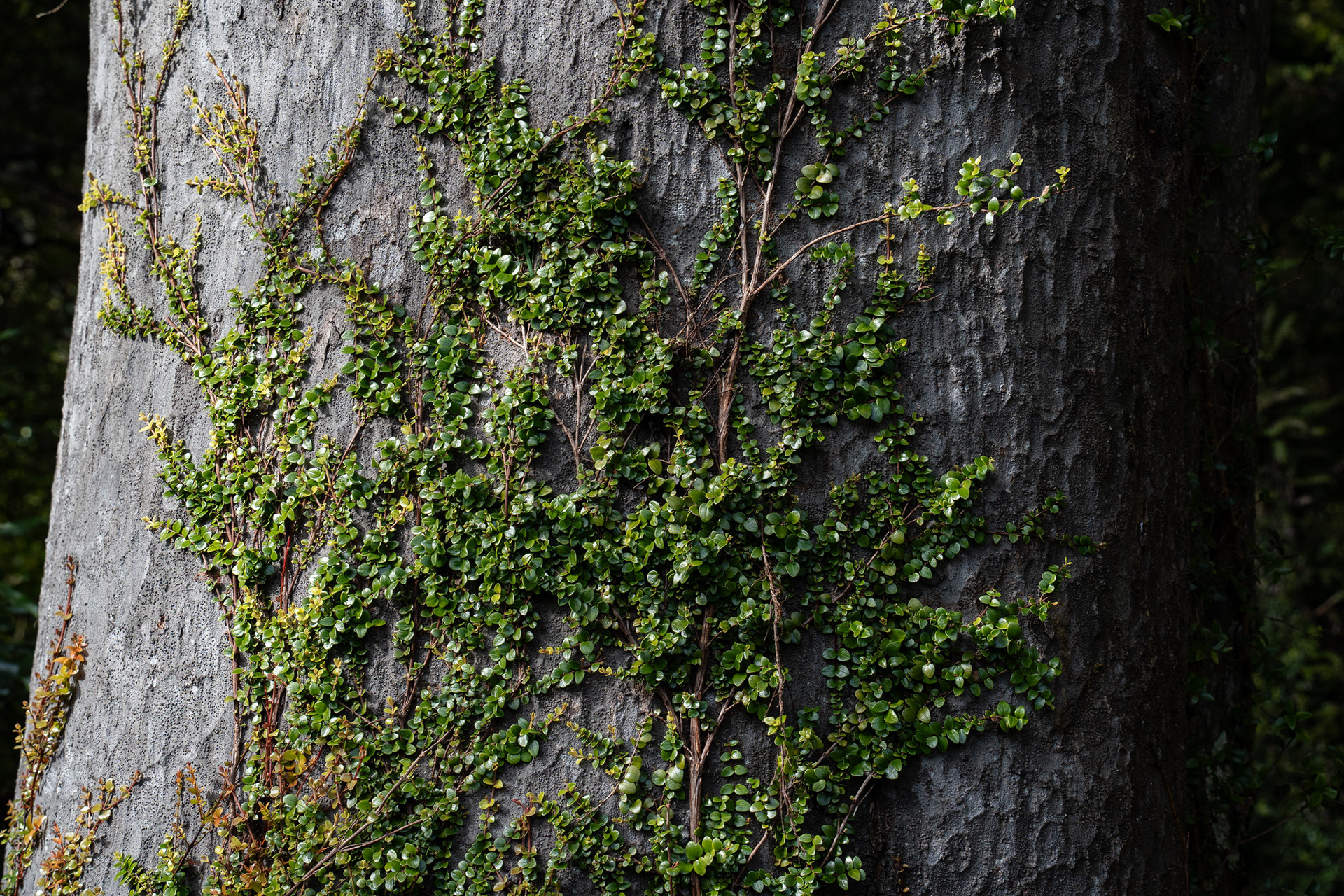
Vine growth on a tree.
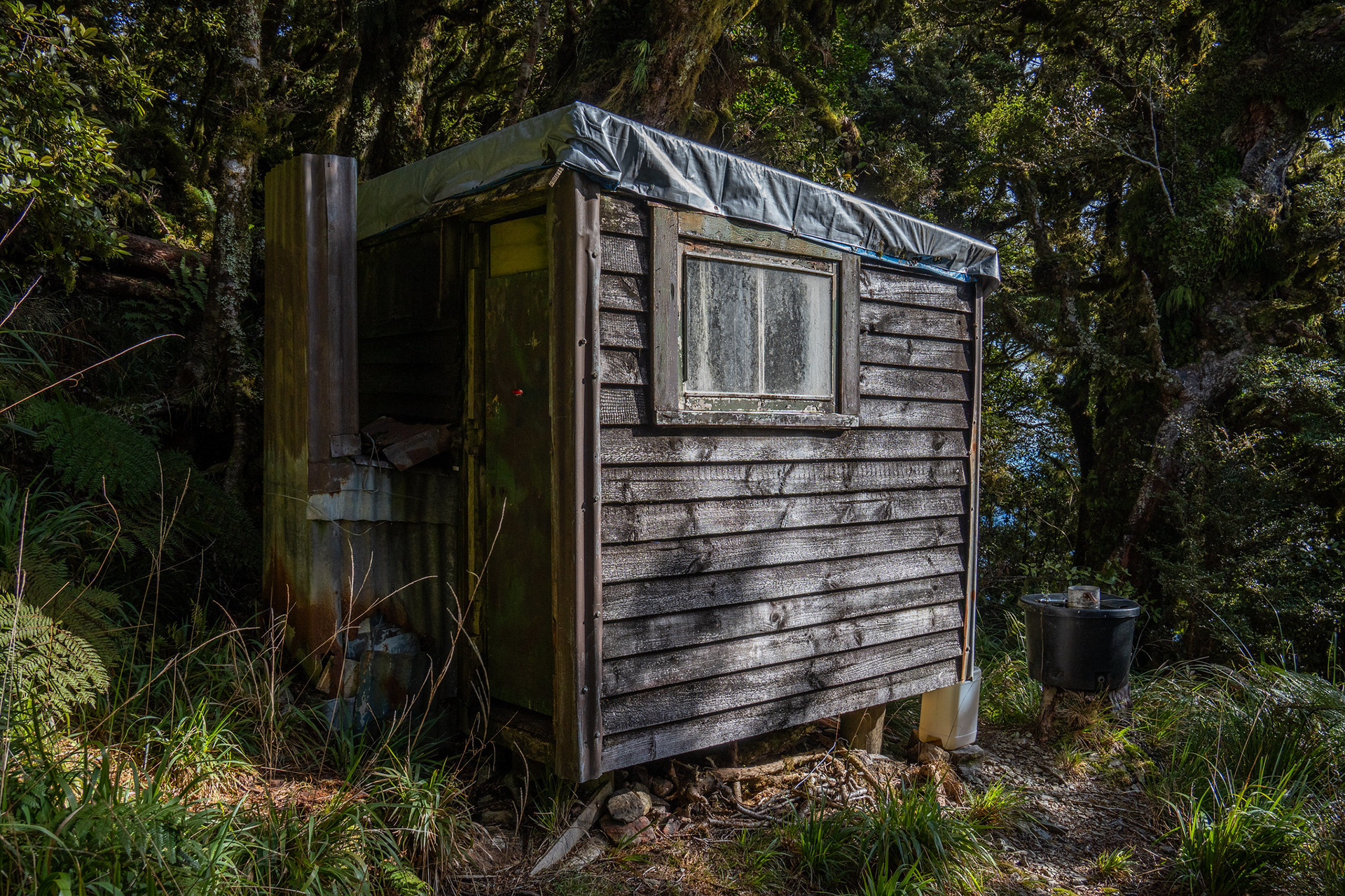
Thornhills Hut.
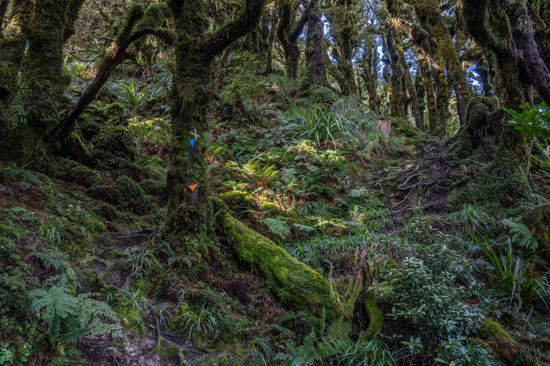
Approaching the bushline on the Kapakapanui Track, with a very rich understory.
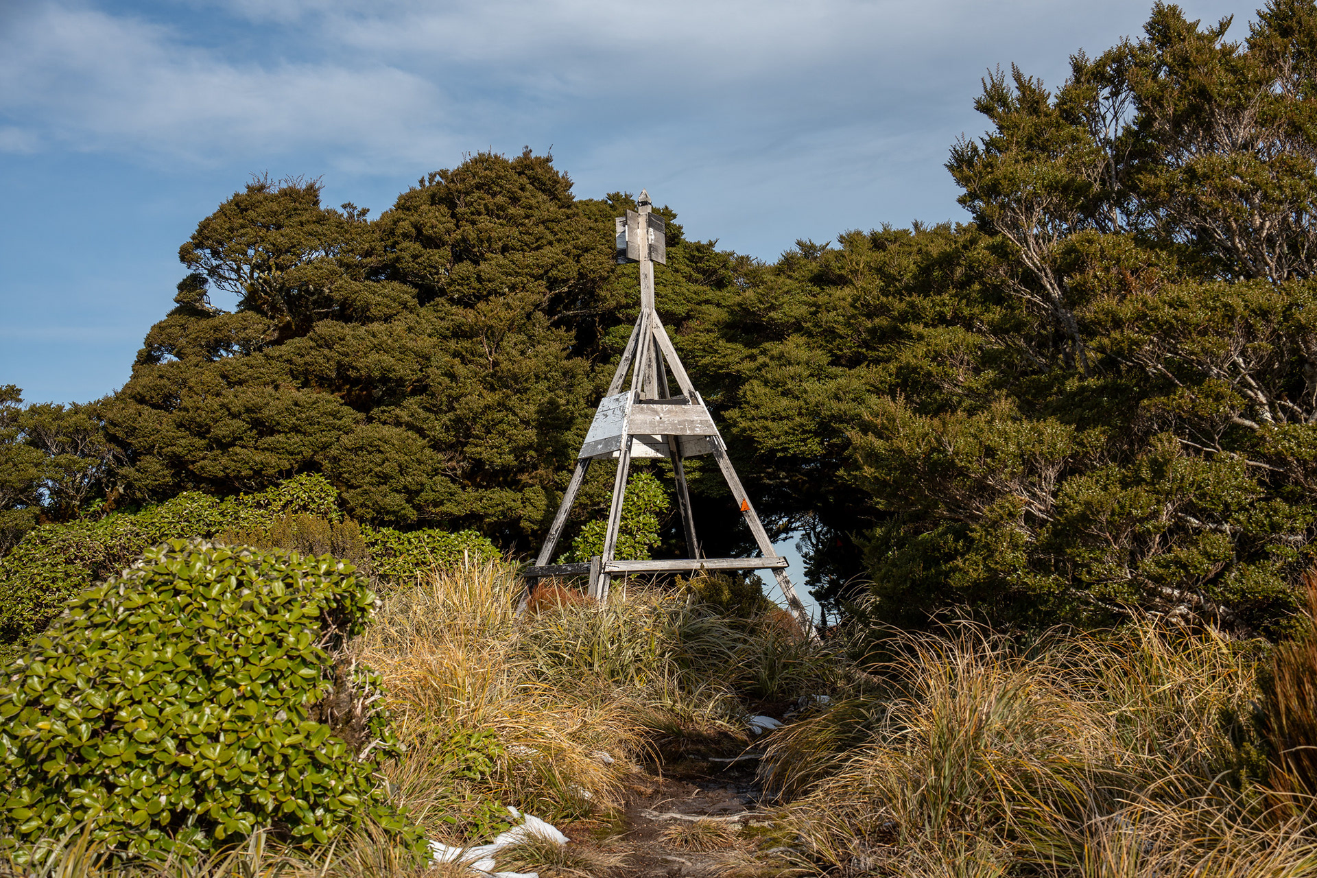
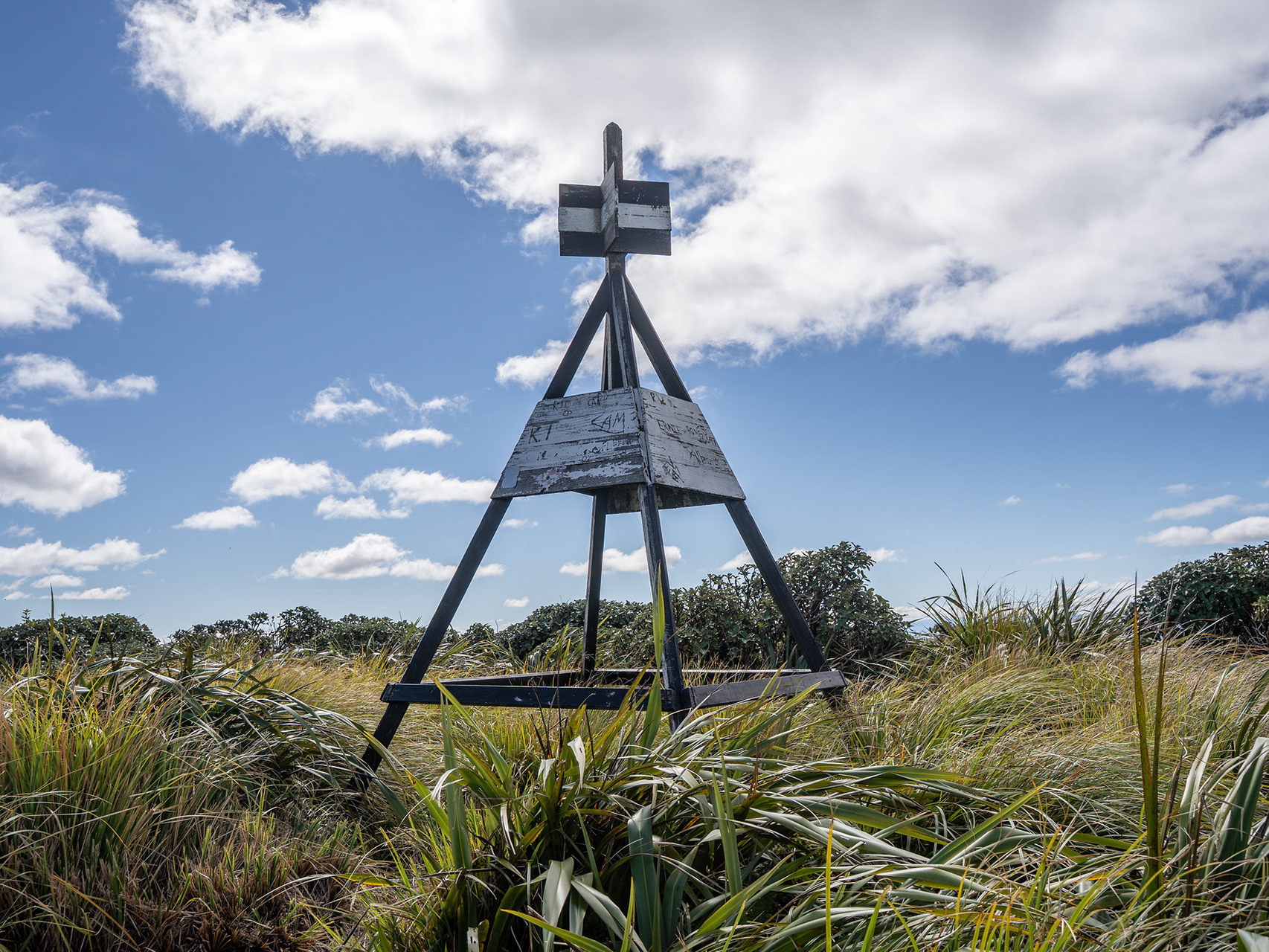
The Kapakapanui trig.
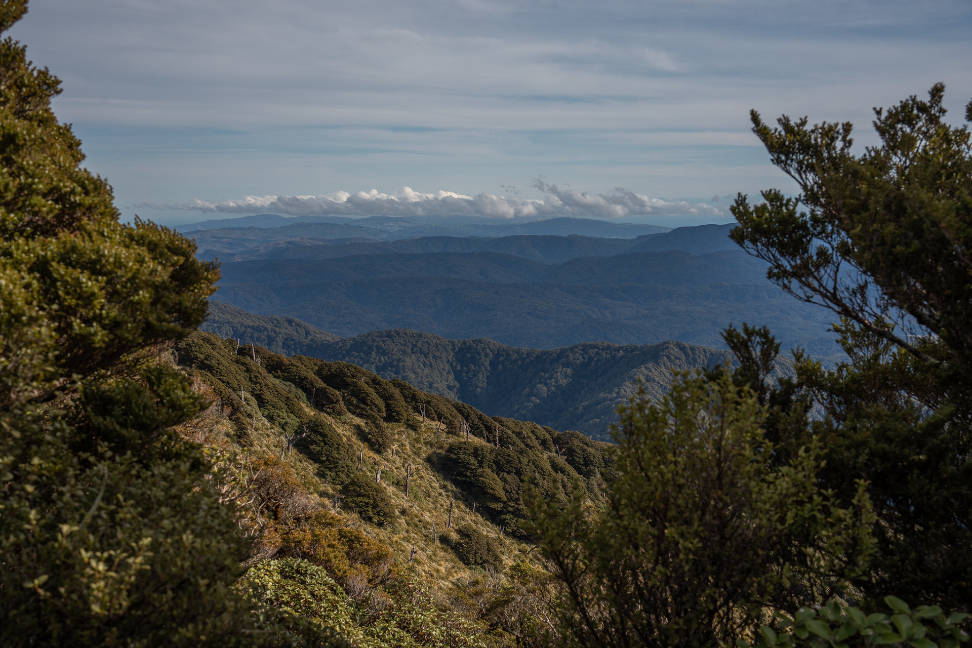
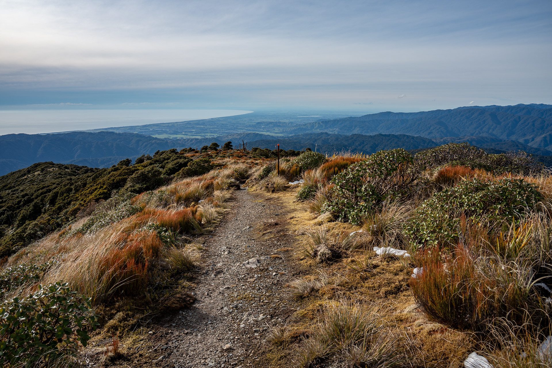
Looking down to the SW, back over the ascent spur.
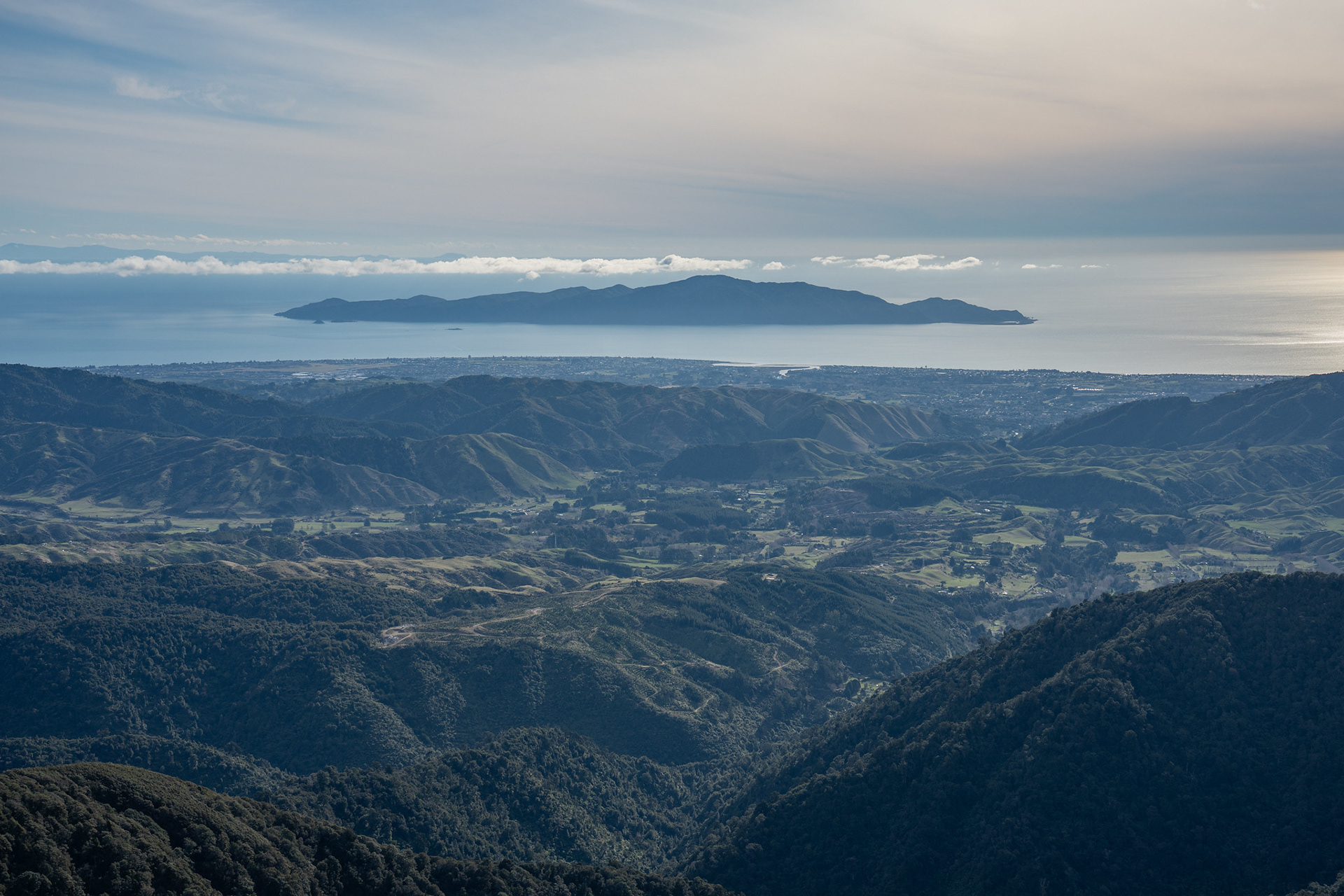
Kapiti Island to the west.
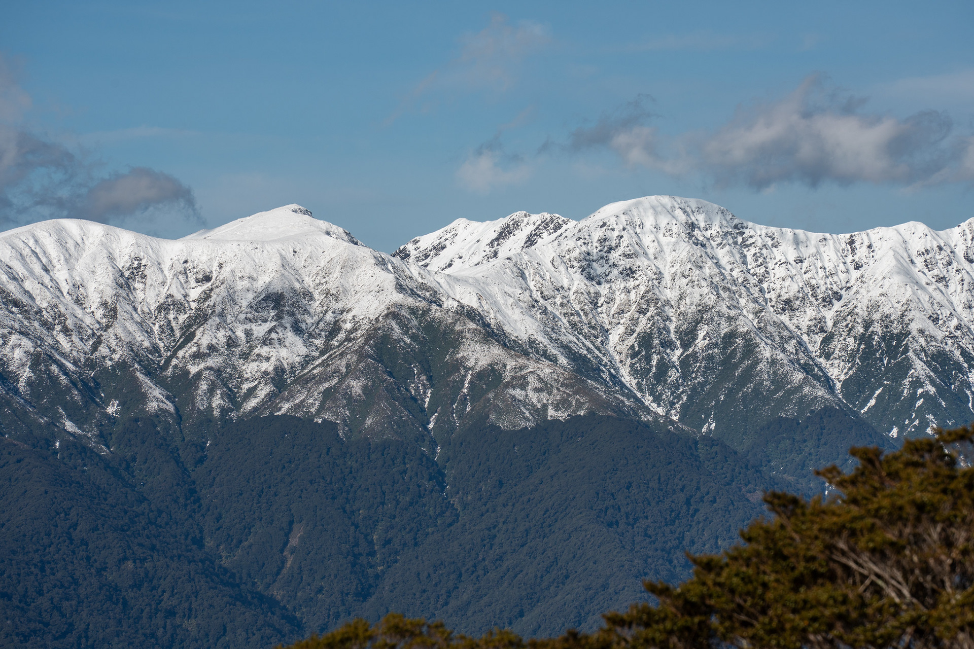
Across to the high peaks of the Tararua Range, the dominant ones are Field Peak (left) and Mt Hector (right).
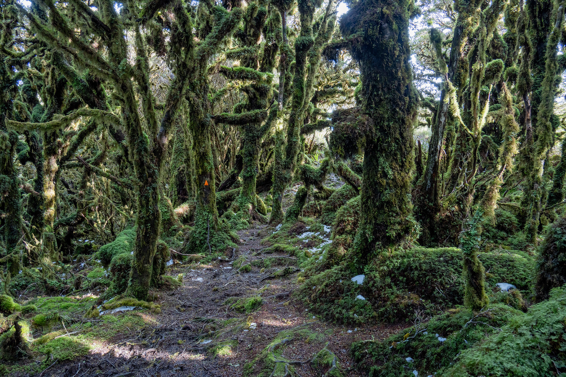
Goblin forest on the summit ridge of Kapakapanui.
About to drop back into the forest canopy.
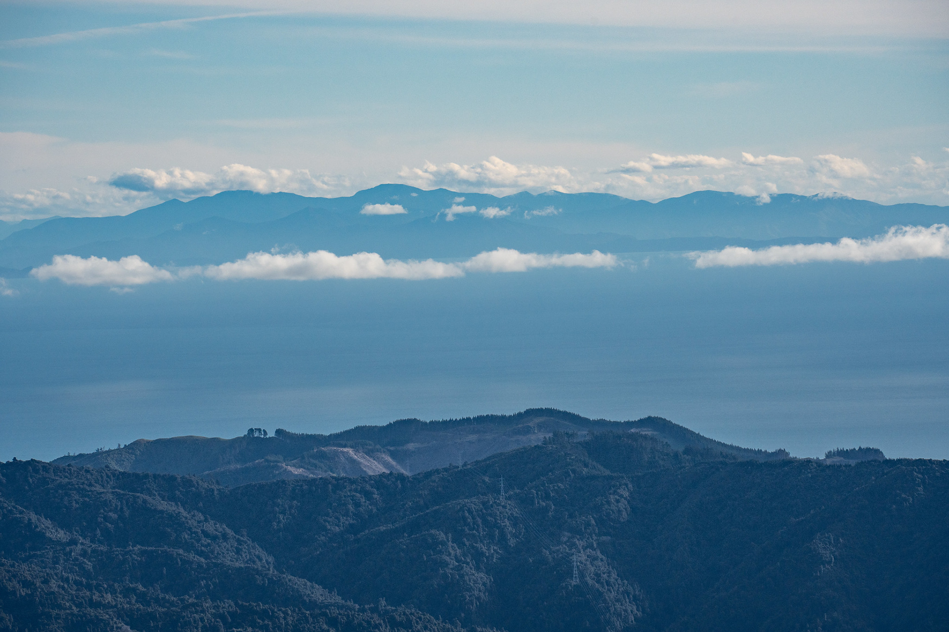
Looking across to the top of the South Island.
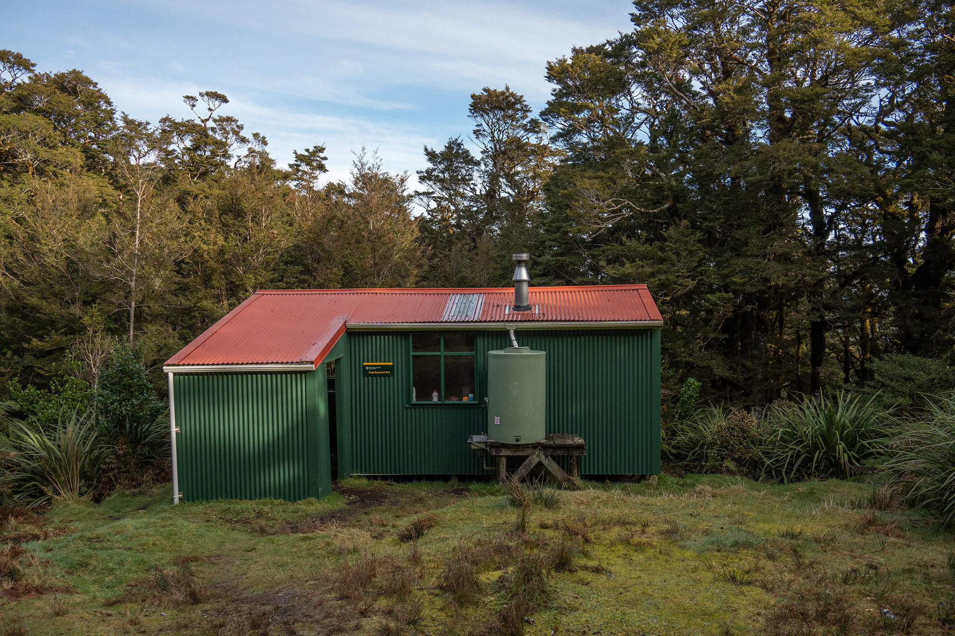
Kapakapanui Hut, a delightful spot.
Descending down to the Ngatiawa River.