Mt Royal is one of the more recently named peaks in the Richmond Range, gazetted in 1980 after apparently being used informally in relation to a "royal stag" which was hunted on the open tops which now bear the peak's name. It's not a particularly prominent peak and only a small portion sits proud of the bushline, which probably reflects why there is little information online about it.
I did find a couple of trip reports online from various sources. Walkers seem to mostly approach via Quartz Creek, whereas helibiking down towards Devils Creek Hut is surprisingly popular and goes about Grade 5+. Helibiking down the southern aspect isn't really appealing, both because of the steepness but also because the upper ridge to pt. 1198 is studded with rock outcrops which would involve prolonged and awkward bike carrying.
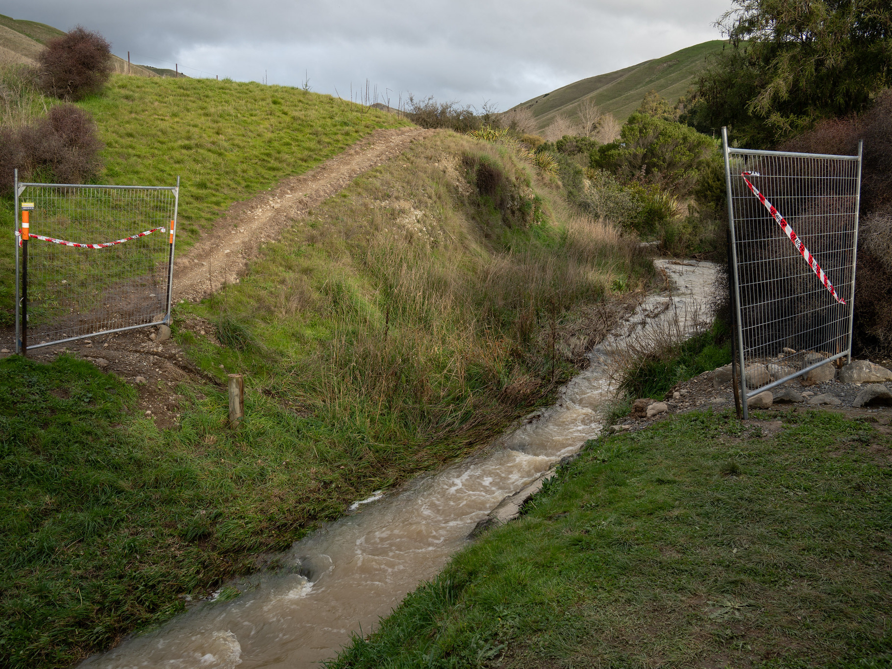
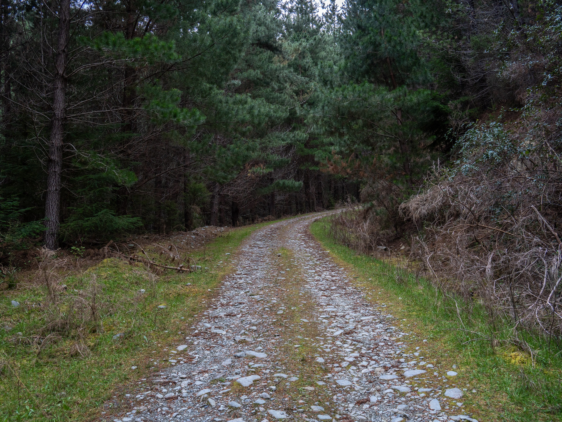
I'd attempted Royal once before, but was stopped by the Fabians Creek ford - I had Dad's CX-5, but the ford was pretty high and I suspected his insurance wouldn't cover me if I botched the crossing. This time around the creeks were much lower (the Ohinematua gauge was doing around 0.35 cumecs compared to 1.5 cumecs the first time), but I still couldn't get the rental Aqua across the Ellis Creek ford which is quite soft. I briefly considered resigning myself to a second defeat, before deciding I could just suck up the final 1.5km of road walking and ditched the vehicle at the junction with the adjacent forestry road.
The opening road walk went by surprisingly quickly, courtesy of my haste. I'd hoped to be home around 12:30pm so that we could go fishing at Lake Argyle that afternoon, and the extra 3km on foot didn't bode well for that. About 12 minutes later, I passed the track carpark proper and followed the signage down into Quartz Creek. There's a short section of partially overgrown 4WD track which links the carpark to the creek, but no signage at the junction which makes it hard to locate on the return. The Strava heatmaps suggest most people just ignore the sign and instead head further along the open clearing and drop down the bank edge upriver, which is probably the better option.
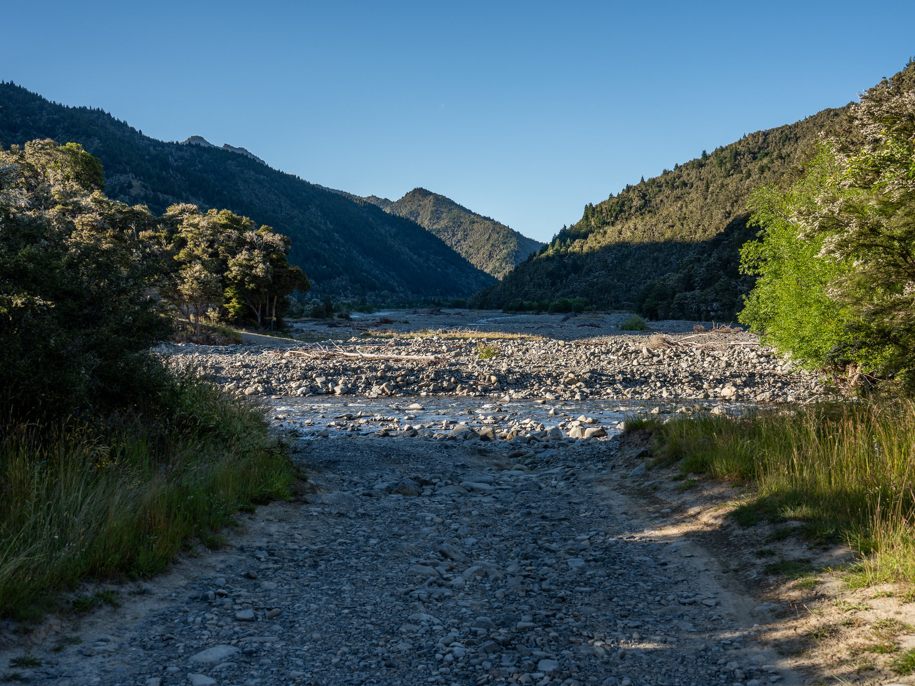
Once in the creek, the travel is quick. There are old 4WD tracks present, mostly at the very start and end of the river section. I ended up skipping these, the entrances were not visually obvious and I feared that they would end up encroached and slower travel than the river itself. Plus, locating them would have meant spending my limited intellectual abilities and I still needed to deal with the pointy end of the route.
The river travel itself is actually pretty lovely, the banks are not gravelled but the stonework small enough that minimal agility is required. You will end up with wet feet regardless so I committed to crossing straight away, which is trivial in most flows. One thing to note is that at the time of writing, there is heaps of algae / biofilm growth which means you'll likely need to disinfect any boots proper at the end of the trip. DOC does suggest that you can bring a pair of shoes just for the river section, which is another option - maybe something like Crocs if you've got good ankles, as doing the whole 'Check - Clean - Dry' process for full boots is a bit laborious.
The good travel lasts right through the river section, and after about 3km it's time to exit onto the true-right of the stream. This point lacks DOC markers - in fact, I didn't see any markers at all between the carpark and boundary of the forest park at the base of the spur. Someone has helpfully built a cairn and placed a piece of red flagging tape at this exit point, which is about halfway through the old 4WD track as the lower section has collapsed into the river. The linkage track is now just a ground trail hugged by vegetation, but it's easy to follow to the start of the climbing. It had taken me around 40 minutes from the track carpark to this point, allegedly around 3.7km as per DOC.
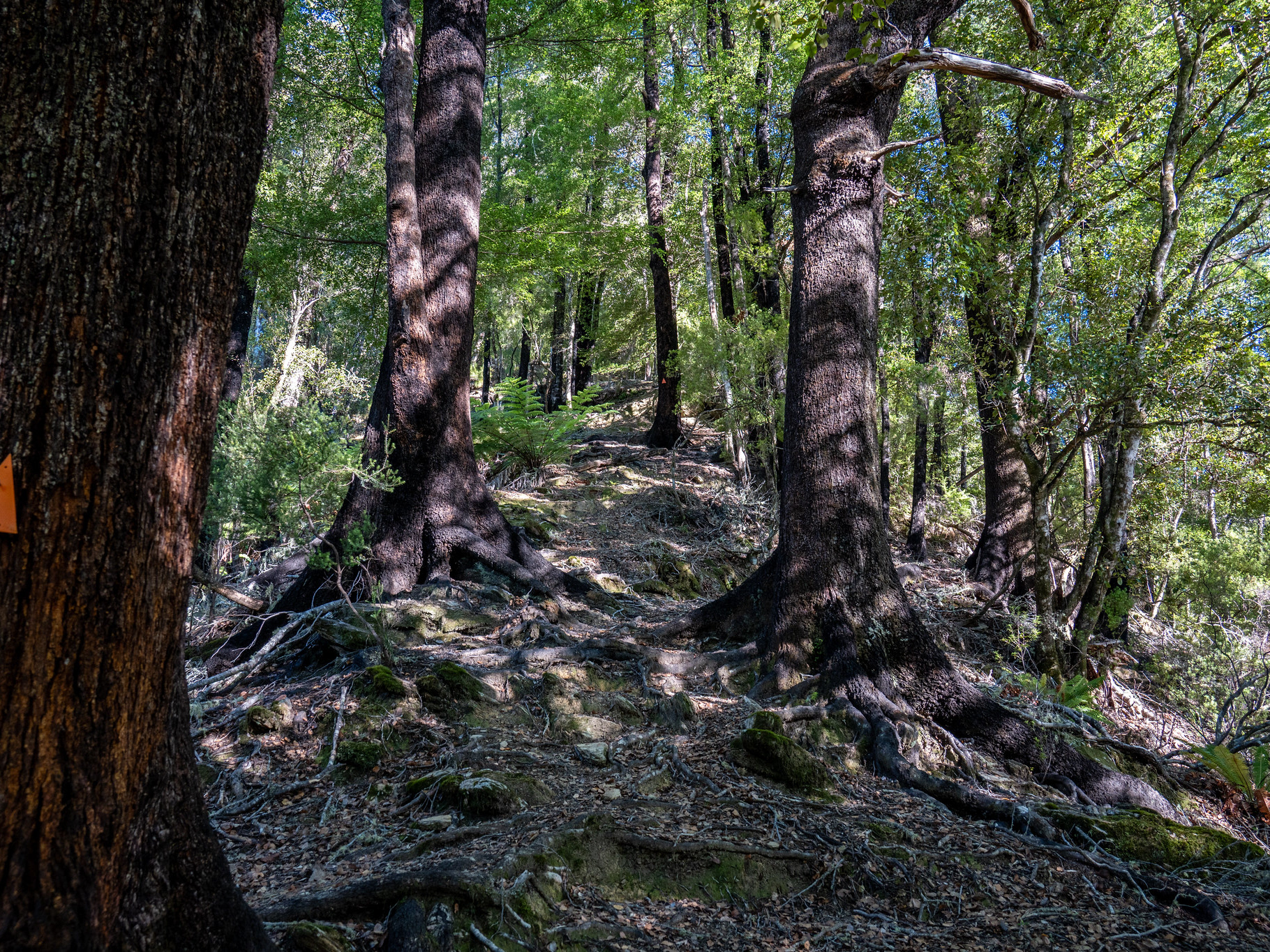
Kicking into the climbing, the most notable thing is the quality of the trackbuilding. I don't know who DOC Renwick engaged for this, but it's exemplary - broad and benched on the lower sections of thicker montane forest, transitioning to respectfully sparse ground trail higher up supplemented by intelligent marking which always exists just when you need it. When the rock outcrops start coming in on the upper ridge, there's a mixture of engaging straight-through climbing on the smaller blocks and devious sidles on the major obstacles.
The gradient is mostly palatable, though in the upper sections it's slower going than anticipated. The limiting factor is mainly the nature of the ground underfoot, which seems to perpetually be irregular rock banding or protracted root ladders. It took me a similar time to do Royal (20km / 1400m of climbing) as it did for Richmond (24km / 1800m), though I also did Royal with a day pack rather than a running vest as for Richmond.
Nearing pt. 1198, the ground underfoot improved once more. I was expecting my altimeter to almost reach 1200m, but it only read 1173m before the descent started - the trackline doesn't quite go over the high point, plus the altimeter has its limitations on accuracy. Then it was time to descend in wildly open beech forest, broadly vectoring off the markers as ground trails were scarce in places.
The travel between pt. 1198 and the bushline is probably the least whelming section of the route, there is little undergrowth which makes it feel sterile and a couple more saddles than what you'd expect from the map. There is a good campsite just below the bushline though, so if you wanted to do this as an overnighter than that would be a useful option.
By the time I reached the scrubline, some of the joy had drained from my little legs but I knew it was almost summit time. The scrub band is narrow but quite thick, there is an overgrown foot channel through it but it's not completely clear and I missed it on the descent and had to bash then contour. Once on the rockfields, there is more travel through low scrub though waratahs provide a general route and the shattered rockfields which mark the summit are reached.