Blenheim is a city (yes, I'm upselling it!) surrounded by mountains, though most are rarely climbed by those outside the tramping community. Different areas have their complexities - few of the ranges south of Blenheim have reliable public access, the Richmond Range peaks tend to be full day affairs and Nelson Lakes is just a tad far away for casual wanders. Enter Mt Robertson, a 1036m peak near the Rarangi coast.
The peak itself is largely unspectacular when viewed from Blenheim, with its long and very flat summit ridge. The most reliable way to identify the high point is the presence of the Airways radome, a giant golf ball and transmission architecture that stands out amongst the forested landscape. Nevertheless, it sits as a reliable choice for many - reasonably close to town, mostly protected from the elements, on public land and short enough to get up and down in a moderate day.
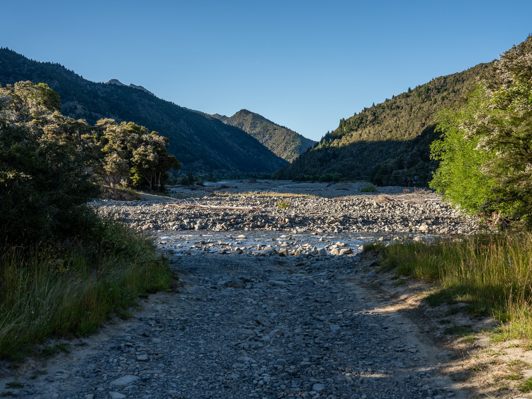
There are various access points for the walk, though if you merely desire the summit then it makes sense to start adjacent to pt. 302. The drive out can be a bit hazardous at times, the road out of Rarangi is exposed and rockfall onto the road is not infrequent. The sections beyond Whites Bay are unsealed and single lane in places, but with care can be driven in any car. The actual carpark for the climb is compact and has quite a large rut to clear as of mid-2025.
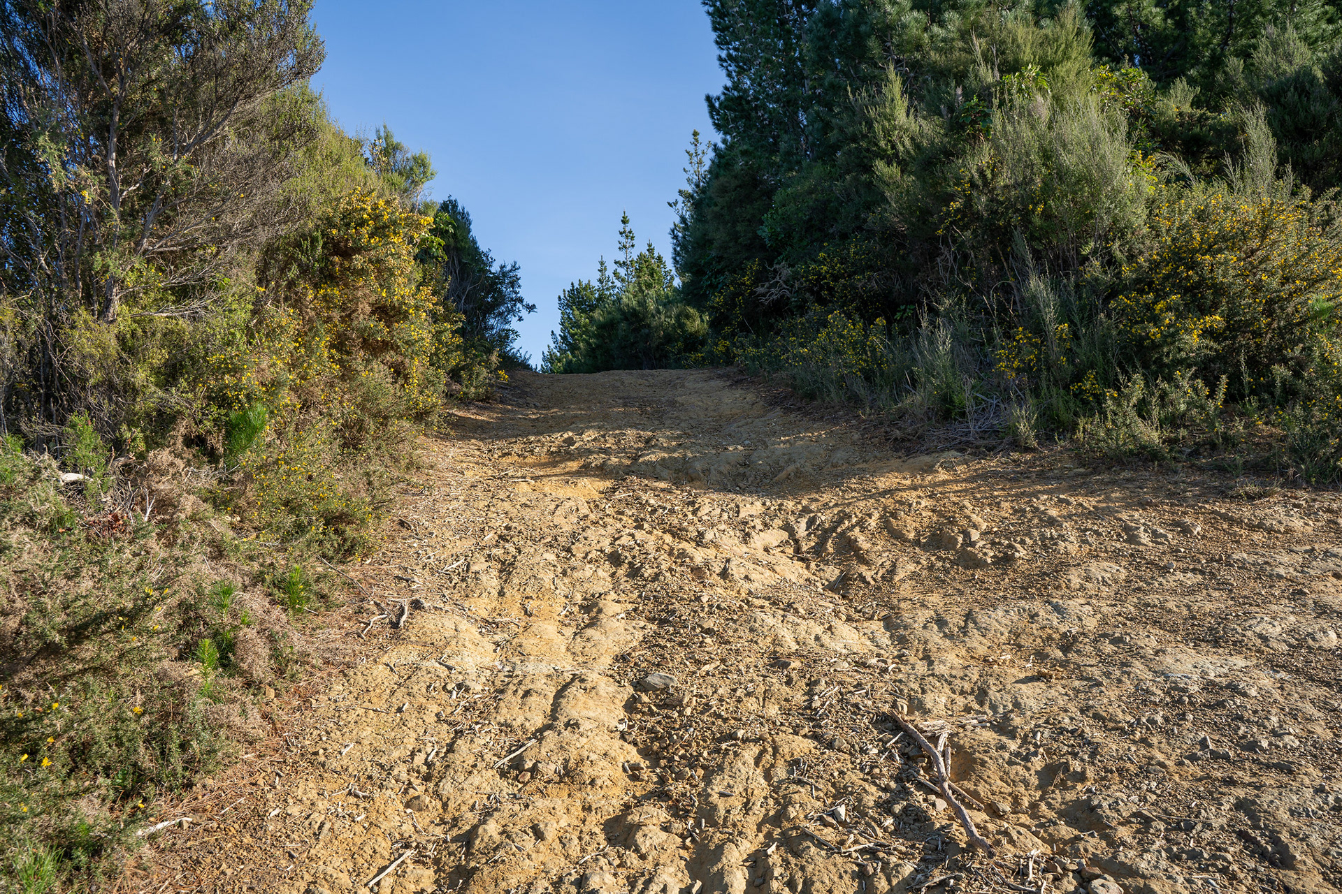
The initial climb section is on an old 4WD track, which is still signposted as driveable but the ruts in the initial section are very deep. I imagine someone might drive it to prove a point, but you'd want significant clearance and a convoy to pull stuck vehicles. The 4WD component only lasts for a kilometre or so and presumably was used to service the pylon architecture, for most people it would be quicker to walk.
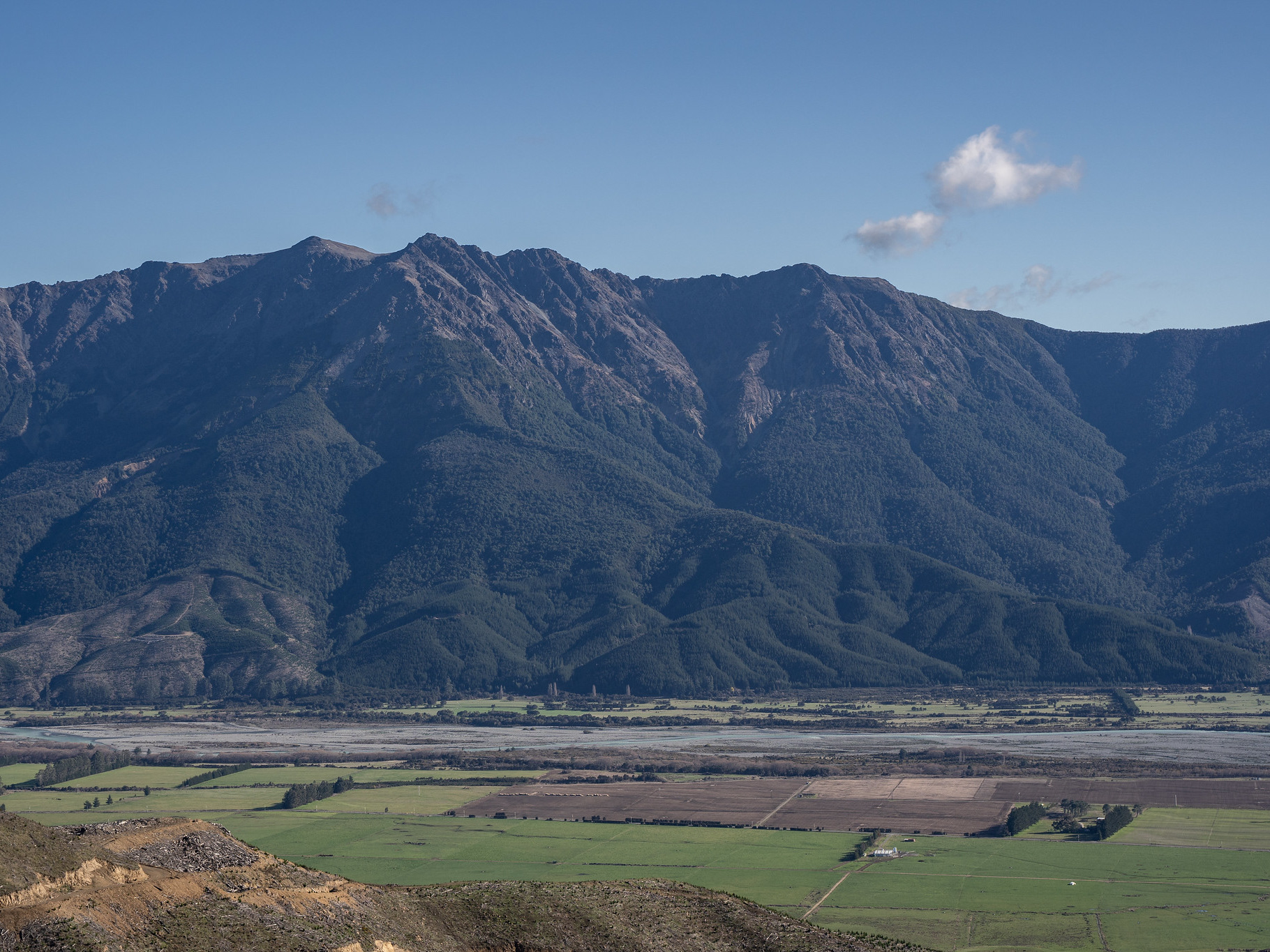
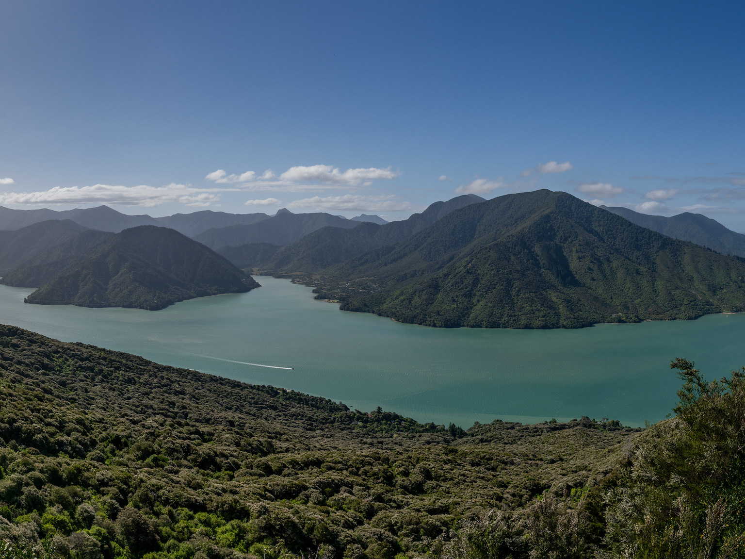
The first section ironically has some of the best views all walk, as the pathway is well cleared which permits views out in both directions. To the south are the Wairau plains with views towards Tapuae-o-Uenuku, to the north is Port Underwood. The high voltage direct current (HVDC) network comes ashore in nearby Fighting Bay, so there is the chance to see some of national infrastructure up close.
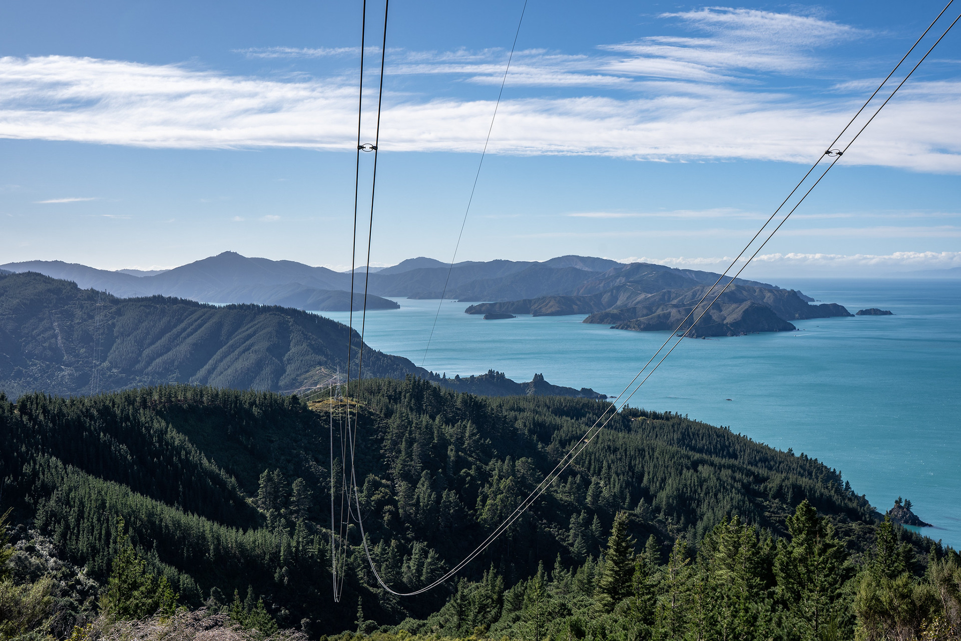
HVDC cables, Port Underwood in the distance.
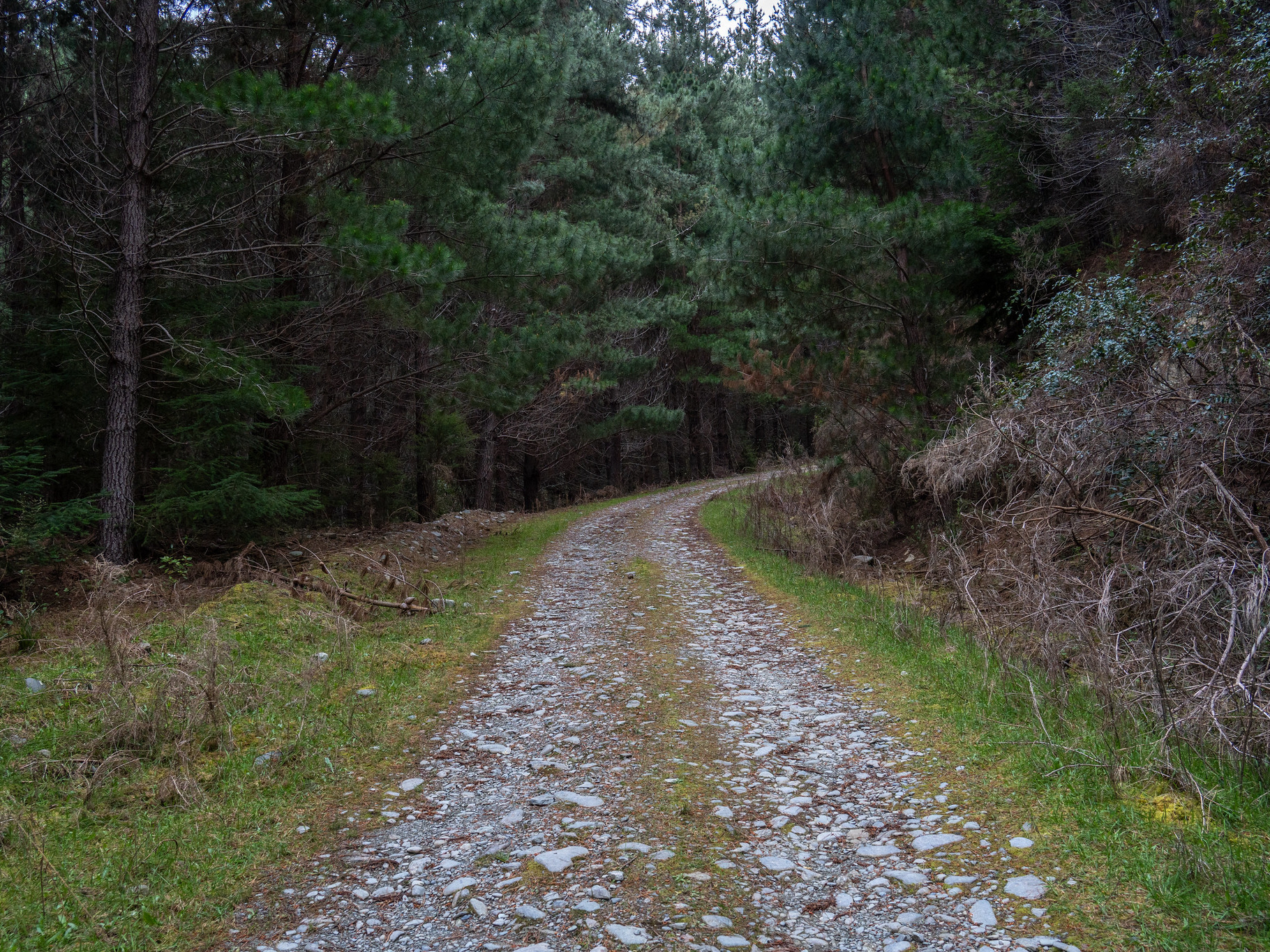
The higher quality section of 4WD track, which seems to drain better because of the gradient - the shallower initial sections pool water and scour out.
There is a short section of pleasant walking trail, though the vegetation is underwhelming - plenty of pine and gorse, if that's your thing.
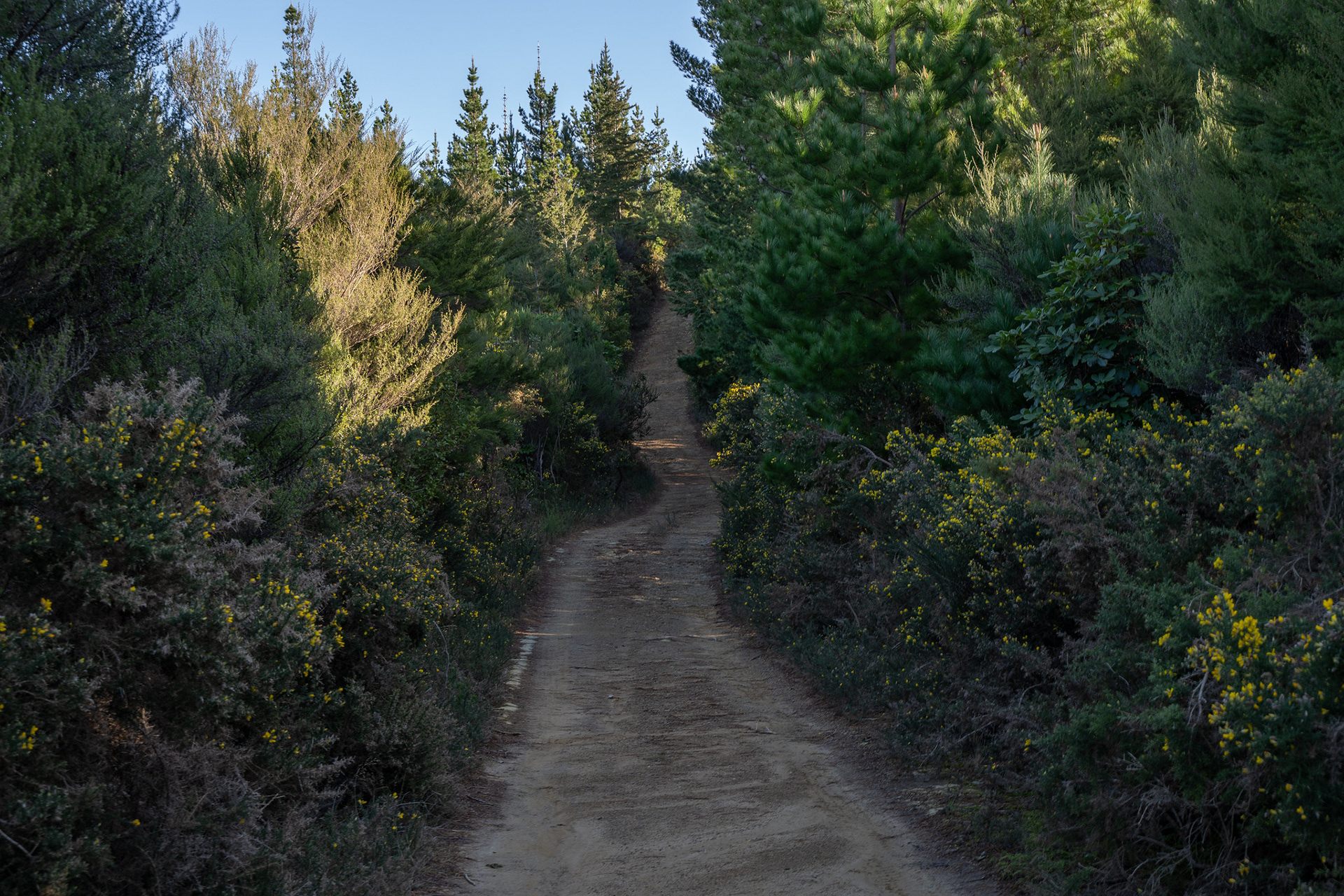
Delightful hardpacked trail on the lower sections of Mt Robertson.
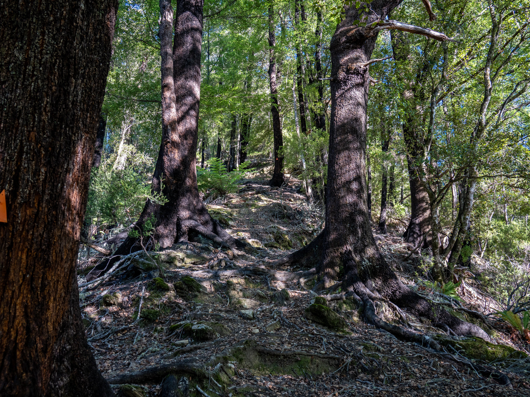
After powering through the easy lower slopes, there is a gate and the track enters forest canopy. It perhaps unexpectedly then drops significantly, before recommencing the climb. It's a delightfully well formed trail that follows the ridge through a smattering of oscillations., though it's never too steep The bush is pretty enough, and I was lucky enough to see kereru (and goats). After a couple of kilometres in the bush, the junction with the loop track is reached - this offers an alternative way down, but requires a few kilometres of linkage trails at the base.
Beyond the junction, the route flattens for a few kilometres before the final pitch takes you to the summit region. Amongst the climbing is a memorial to the five people who lost their lives in a 1996 plane crash. In that instance, a pilot flying the Wellington to Picton route inadvertently turned right while descending through a low cloud layer, encountering the east ridge of Mt Robertson instead of the coastline. Despite attempts to execute a hard left turn and outclimb the peak, the pilot was tragically unsuccessful and hit the peak near the crest.
There is a cleared section on the ridge at 940m with a viable helipad, which also offers lovely views both up to the summit and also north and south. The peaks that draw the eye are the Hodder mountains - Tapuae-o-Uenuku, Alarm, Mitre and Gladstone. This section is often very windy, though it's not exposed to any fall risk.
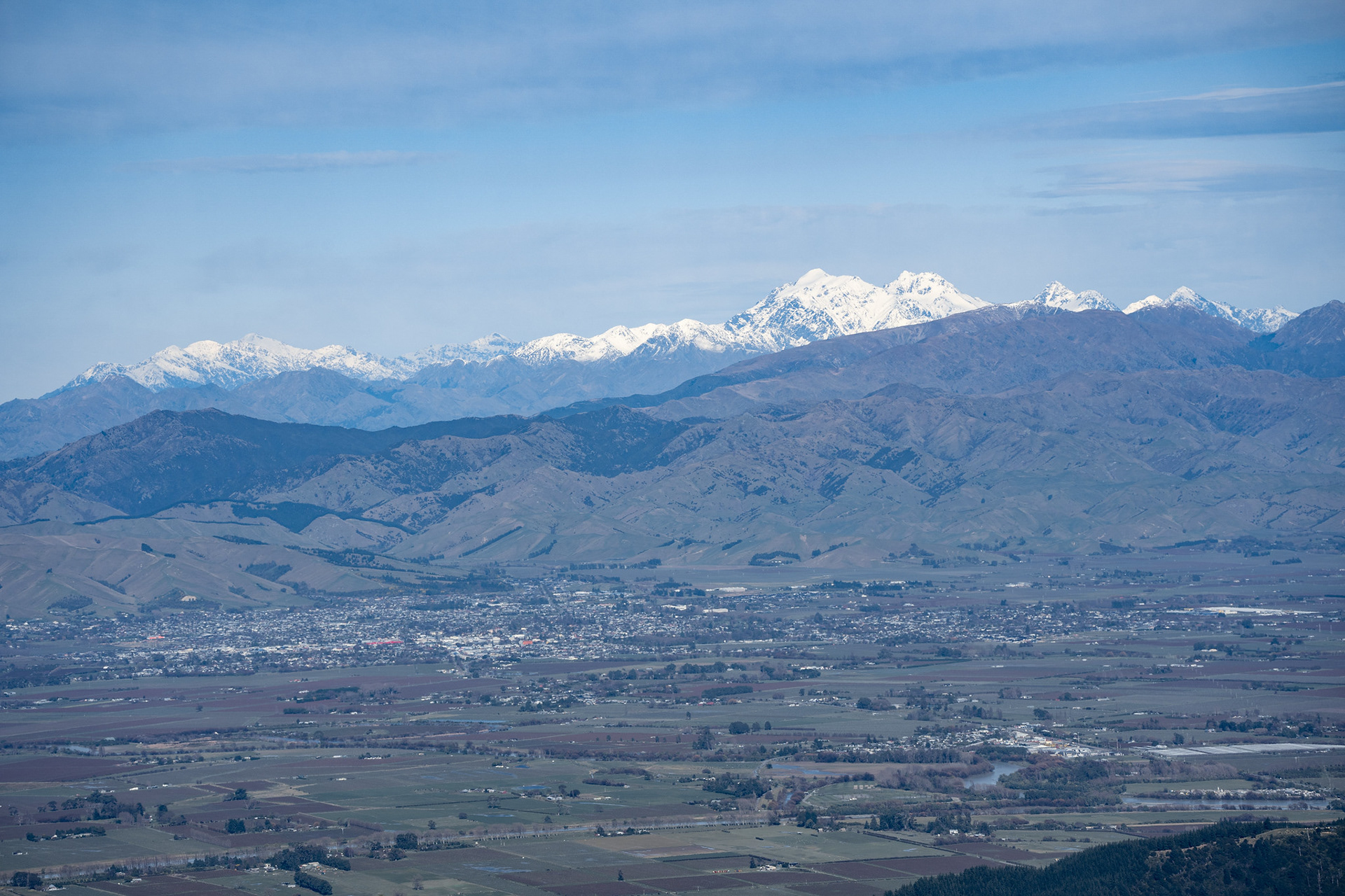
The snowy peaks at the head of the Hodder catchment - the high point is Tapuae-o-Uenuku, the one on the left.
A small amount of easy travel beyond the clearing leads to the summit. There is a trig, though the area is dominated by the communications gear. There are minimal views from up top, given the flat topography and high surrounding forest. Nevertheless, it's a reward commensurate with the accessibility of the peak and moderate ascent time. Return times for the climb vary significantly based on fitness, but anywhere between 2 (quick) and 7 (comfortable) hours are common.
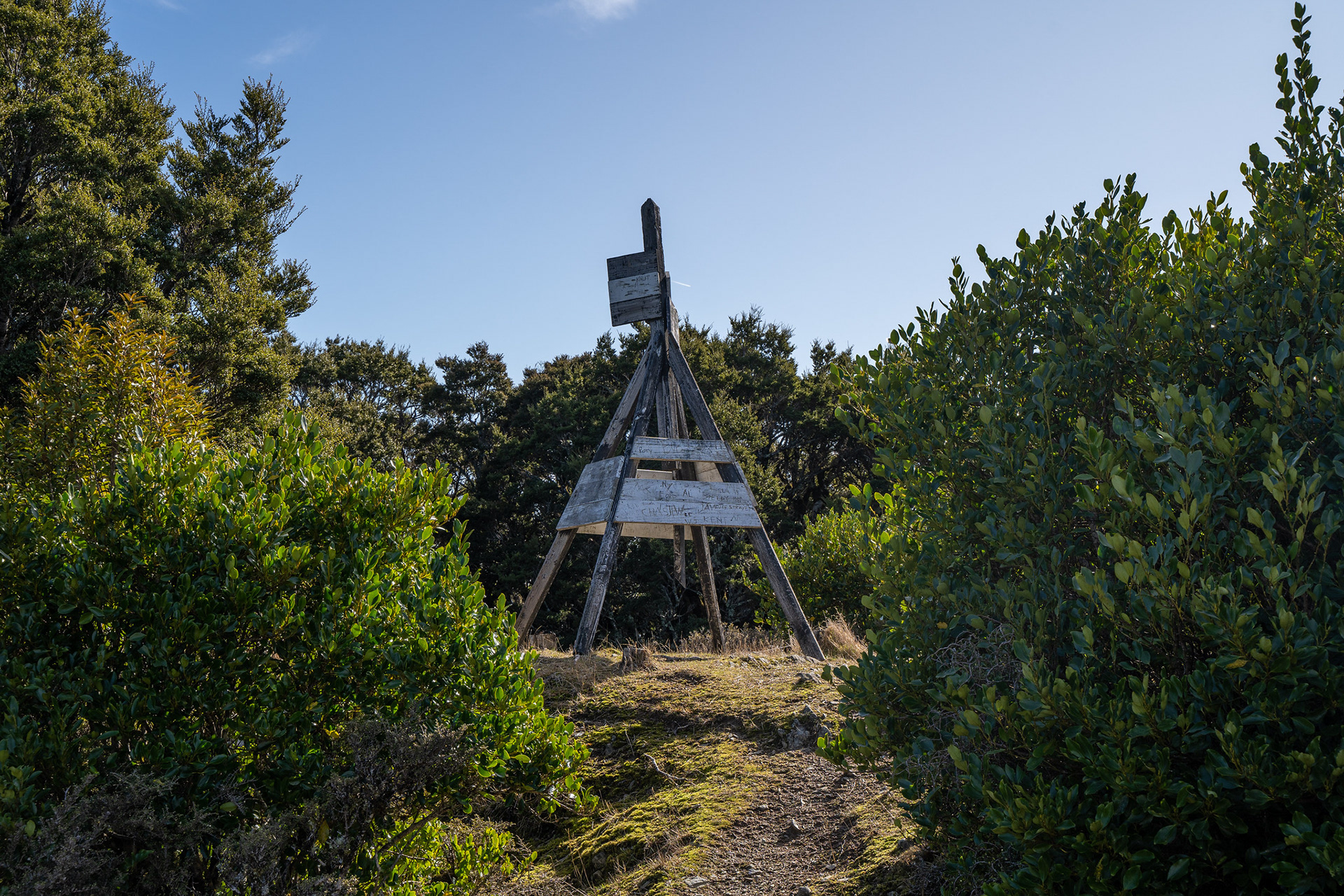
Summit trig on a typically beautiful Blenheim day.
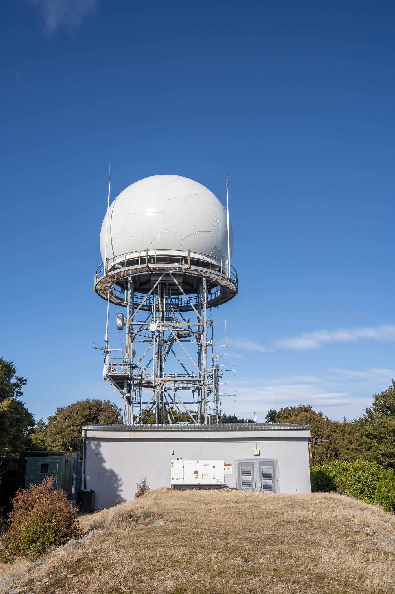
The Airways radome and associated kit.