As part of my quest to tick off some of the day trips near Blenheim, I'd made a spur-of-the-moment decision on the Tuesday night that I would have a crack at the Mt Sunday - Mt Riley loop. This is a popular-ish circuit on the eastern margins of the Richmond Range, with two above-bushline peaks plus a small bivouac all wrapped up in a comfortable day trip.
The first question to be answered was whether I would even be up for it, with my legs and sunburn still very sore from Pinnacle two days prior. I needed to be home around lunchtime for other family commitments, and getting up at 5:45am left me feeling unusually dizzy. My blood pressure was fine, so I reasoned it was probably sinusitis (has been a terrible hayfever season) and headed out anyway.
I'd packed my bike for the 4WD section of the access road, largely because we'd given a ride to two other trampers the weekend prior and they'd advised the ford on Briggs Road was too bouldery for their campervan and likely my Caldina. Fortunately, it was reasonable gentle and after a long and slow drive out, I reached the very spacious carpark and set out for the day ahead.
About 250m in, the track junction is reached and you have the option of going left (Sunday) or right (Riley). The options are much of a muchness, though most people go left. Going clockwise gets the steeper travel out of the way early, and the somewhat muddled initial climbing on a mixture of face sidles and vague spurs is probably easier to follow on the way up. Going anti-clockwise allows for more gentle climbing, and also makes for easier navigation on the approach to Riley which is a bit vague in reverse. The vegetation is a bit nicer on the Riley side, if that is a consideration for you.
Heading left, the track immediately kicks into a mixture of sidles and punchy climbs. It's reasonably easy to follow throughout, and soon hits the main spur crest at about 600m. The topo shows a private 4WD track intersecting at this point, though nothing is visible in the field. It does mark a transition to more gentle climbing though, ticking off the metres until a water barrel is reached at around 820m. If you don't mind drinking somewhat stagnant rainwater, this would facilitate an easy trail run of the loop with an extra water topup at the biv.

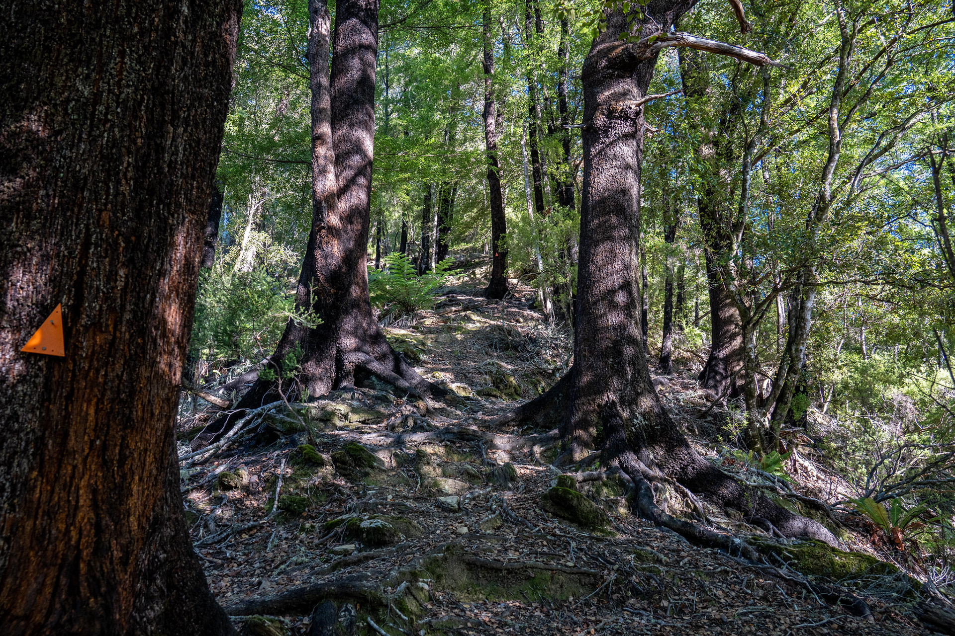
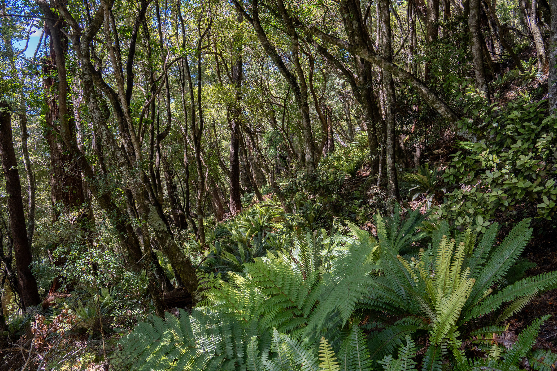
Some nice clean travel on the spur proper.

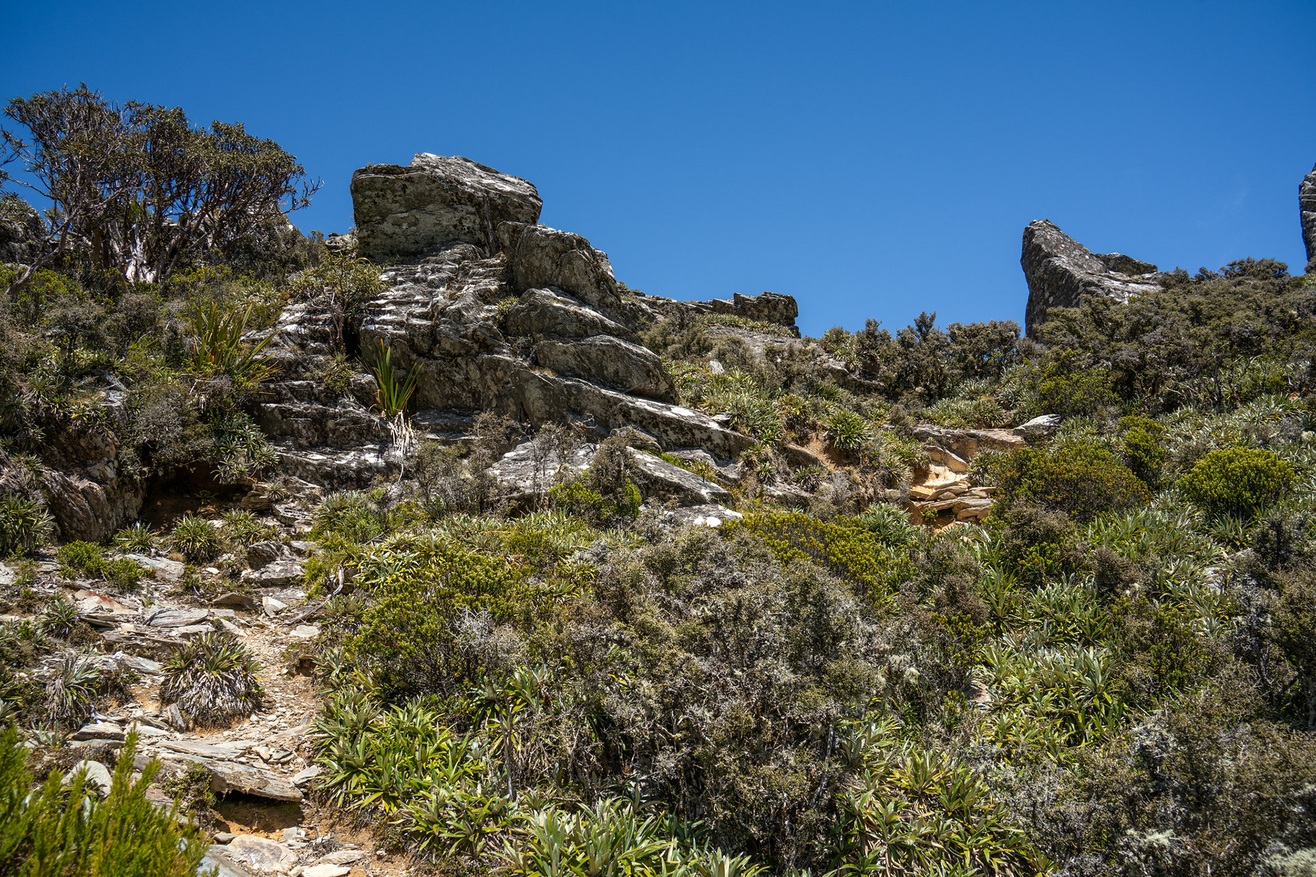
There are a couple of blocky steps, but nothing overly complex.

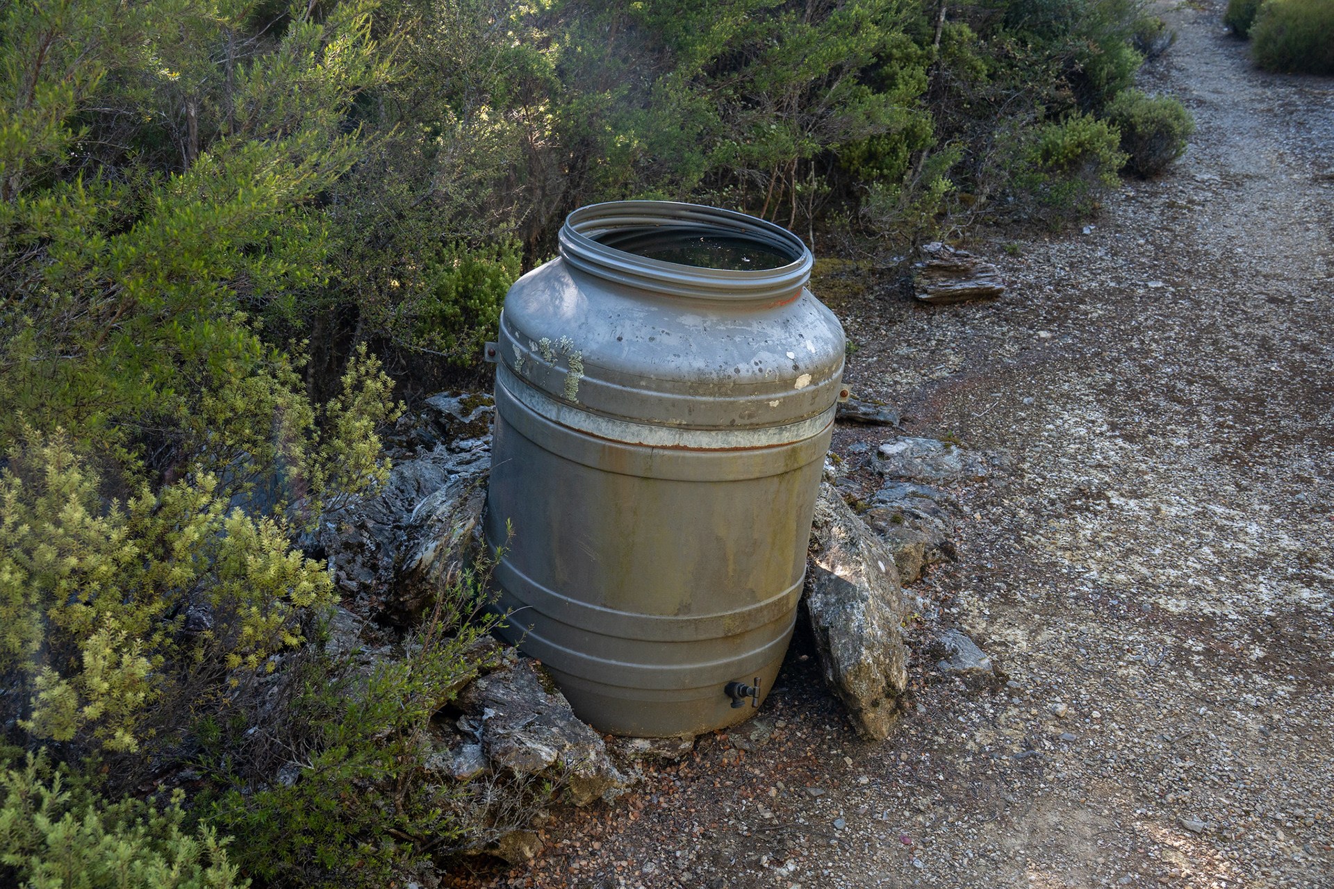
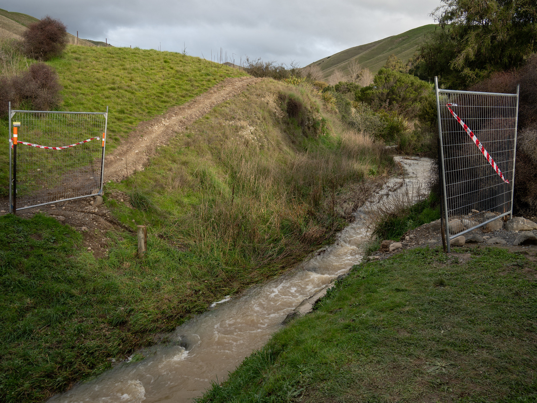
The handy water barrel at around 820m.

Beyond the flat spot at 820m, the ascending resumes up towards Sunday. Quite a bit of the route opts to go around the crest, at times dropping material amounts of elevation to avoid parts of the ridge which appear benign from a distance. It's an otherwise unremarkable ascent up until around 1220m when outcrops begin piercing the bushline. The views are pretty good, to be fair - nice vistas across the Richmond Range, out towards Tapuae-o-Uenuku and the Blenheim township.

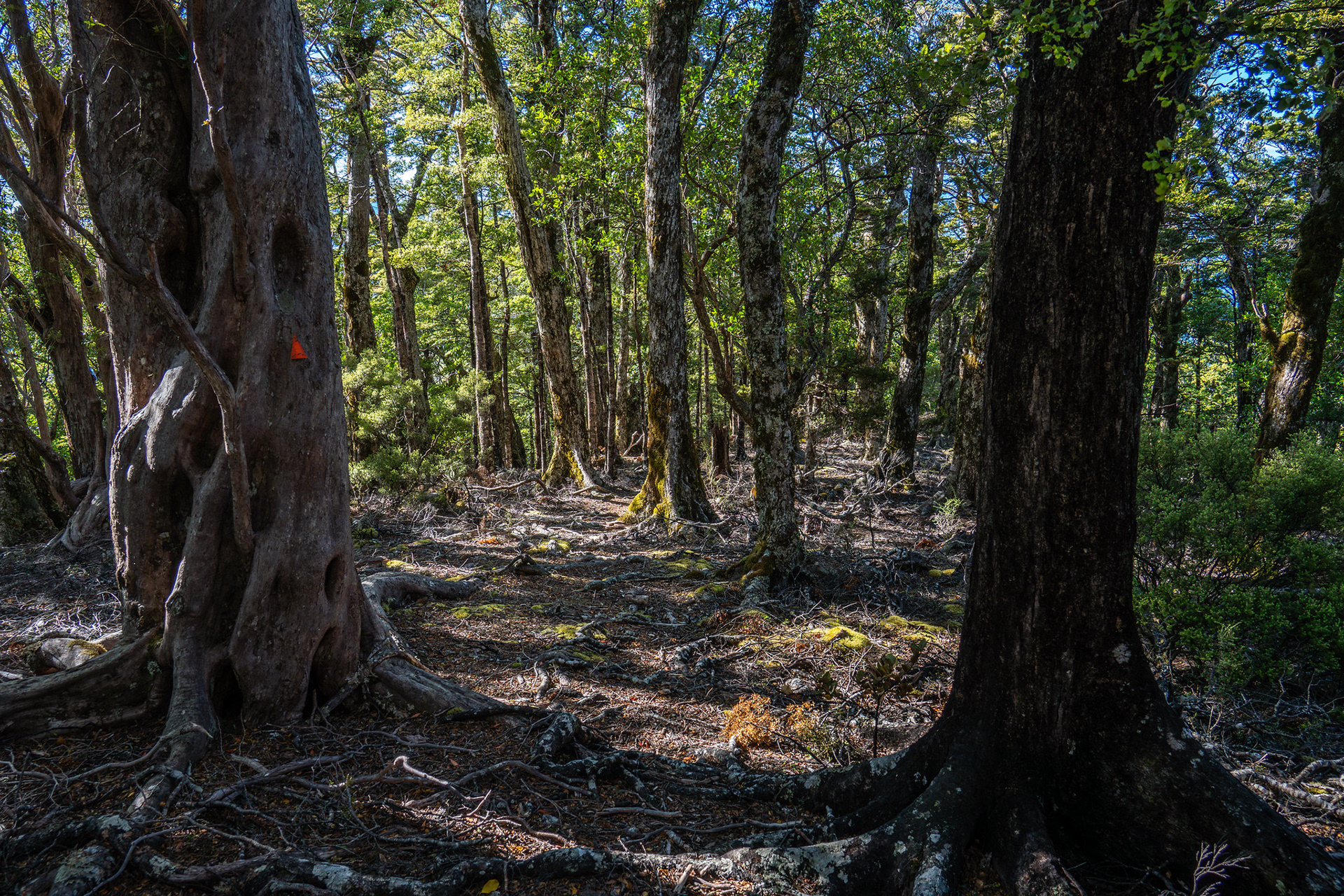
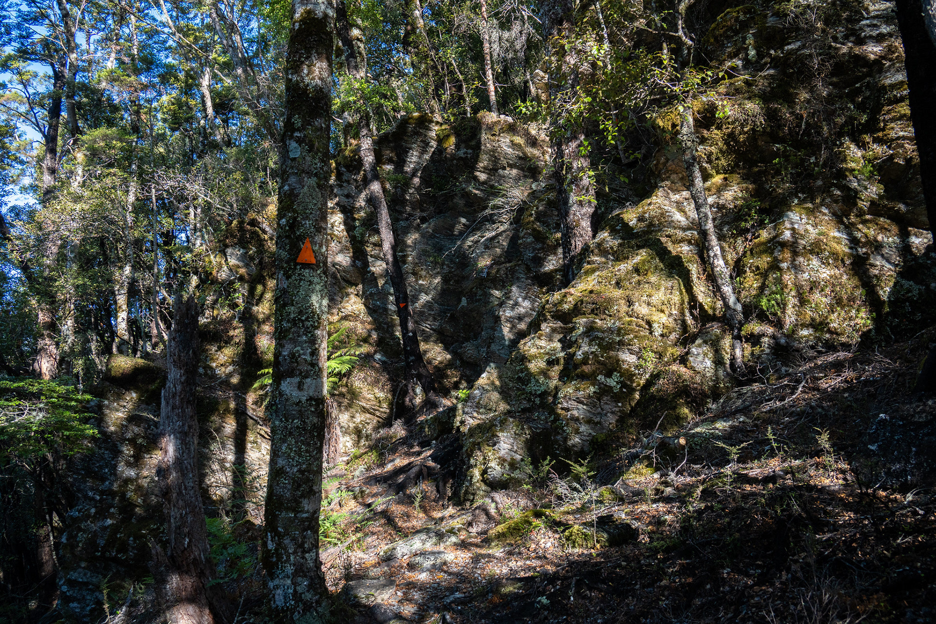
Magnificent travel near pt. 915.

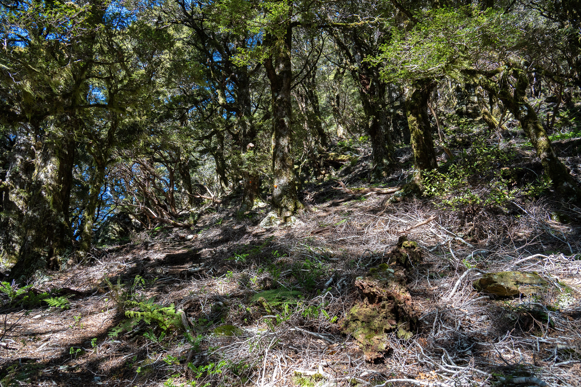
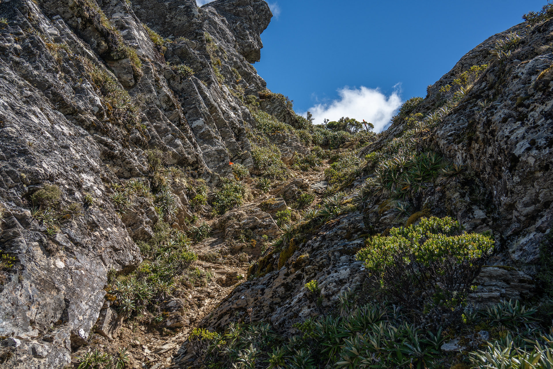
The more open and vague travel as the track meanders right at about 1100m.

Finally above the bushline, heading towards the summit of Mt Sunday.

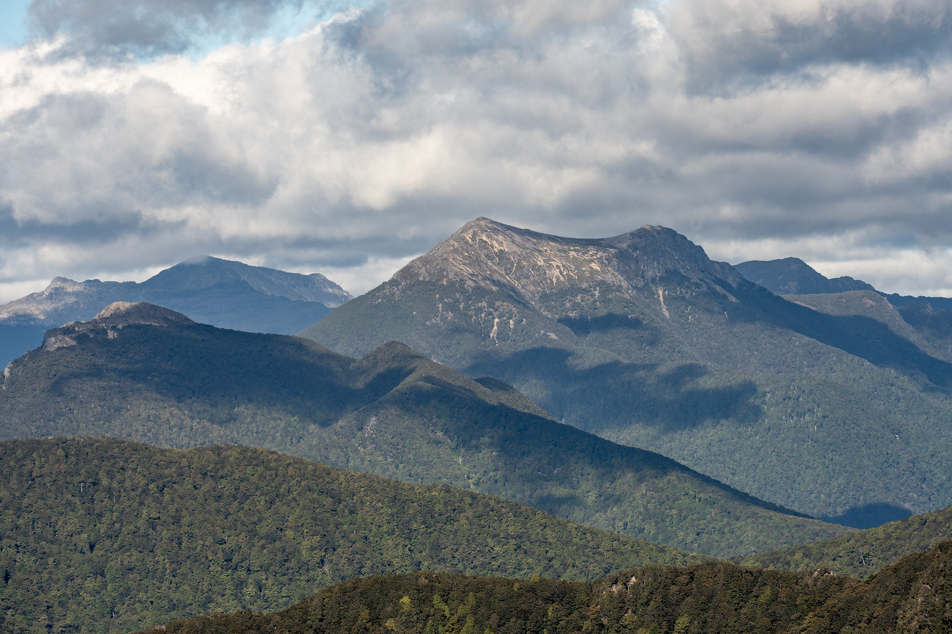
Looking across to Mt Fishtail.

After a few summits, the final approach to Sunday is reached. The high point is unremarkable, only noted by a navigation waratah. It does offer nice views, though was also terribly exposed to the NW gales of the day. After a few photos, I dropped back down into the bush cover and onwards to Mt Sunday Biv.

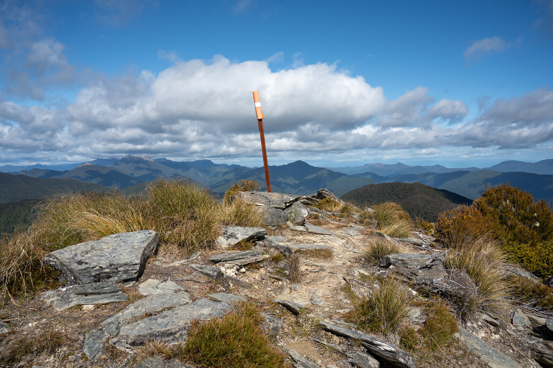
The very nondescript summit of Mt Sunday.

A view north, broadly towards the Wakamarina Valley.

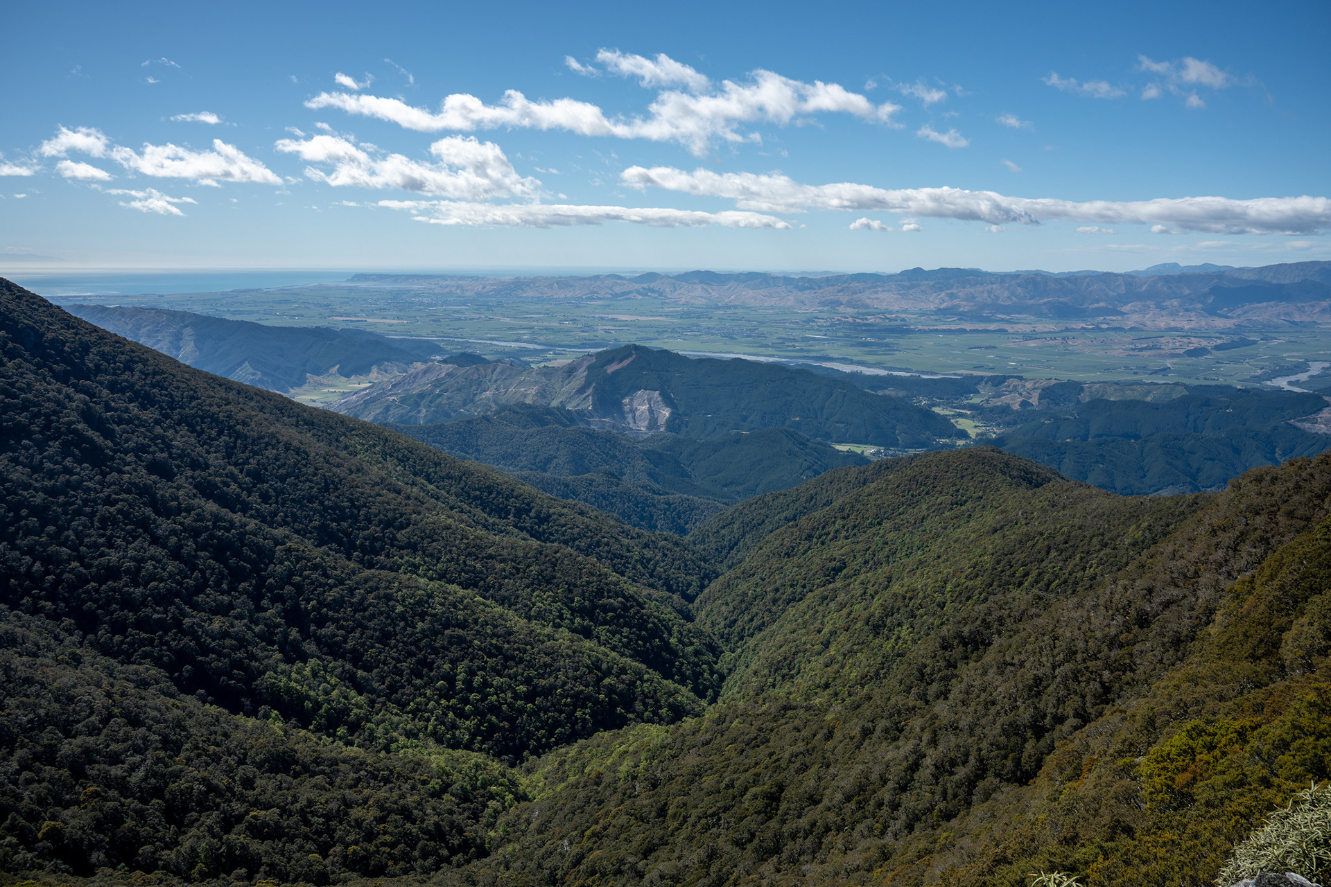
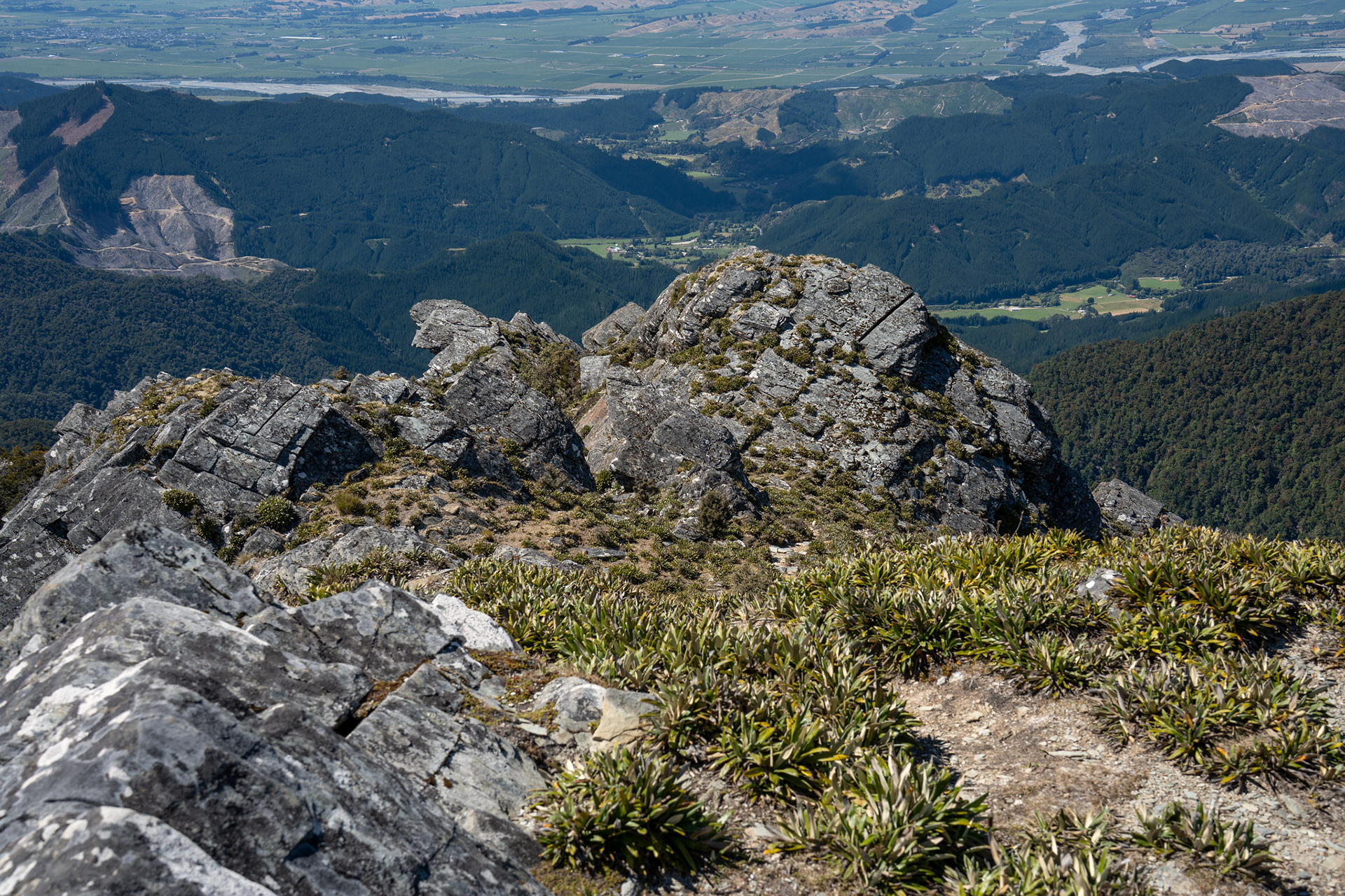
Back across to Blenheim.

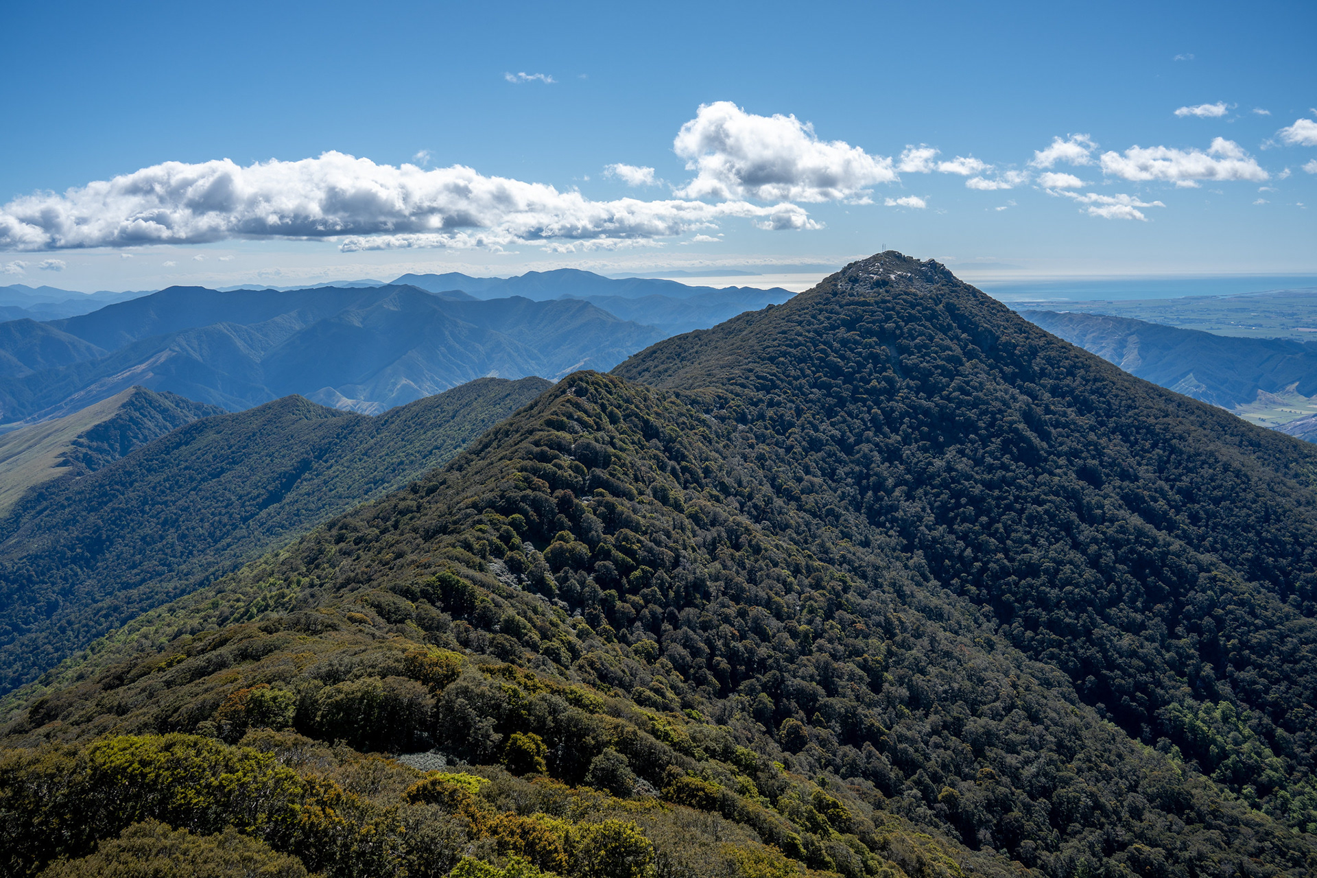
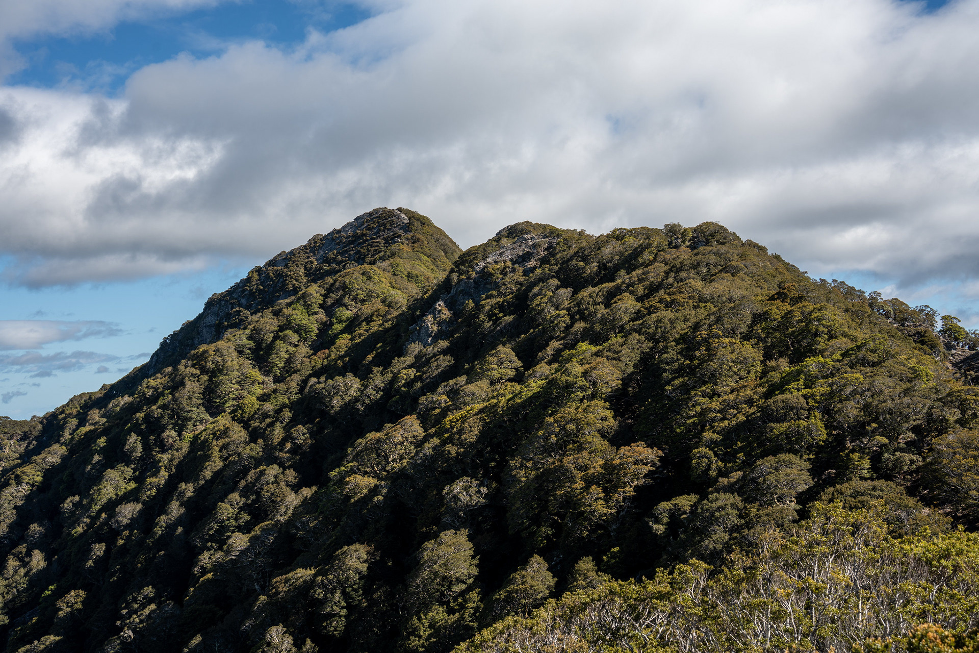
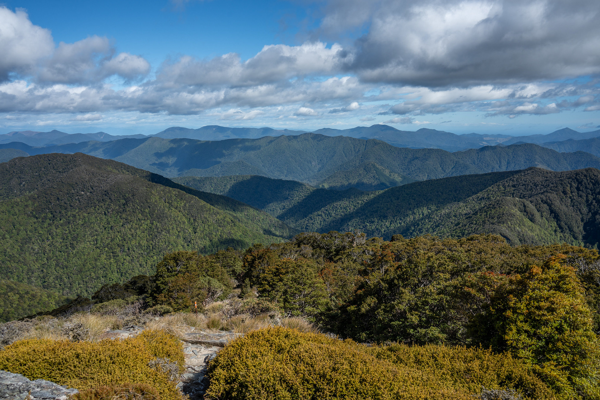
The upcoming traverse to Mt Riley.

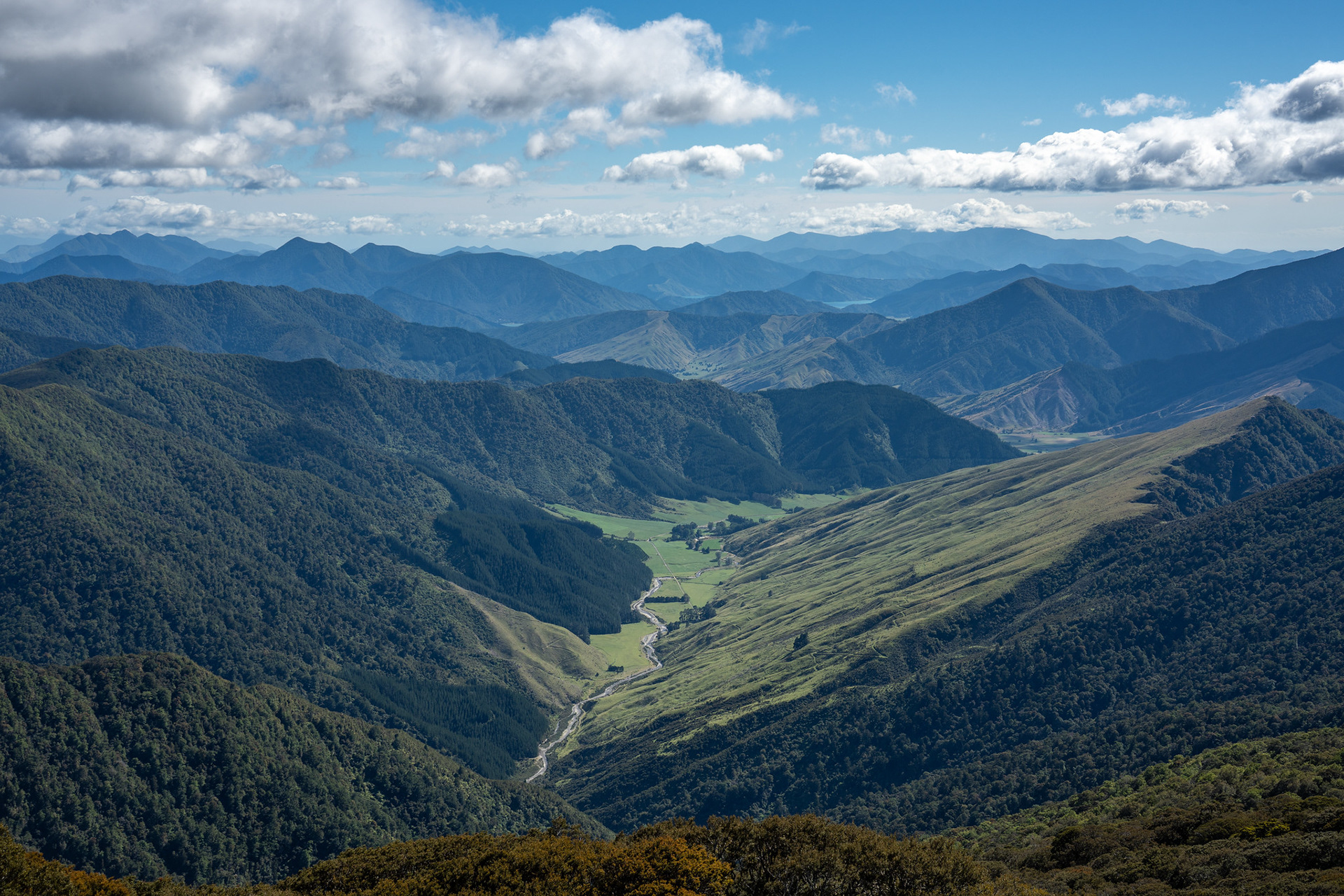
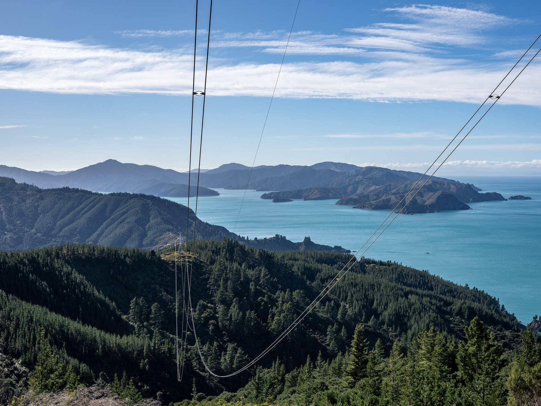
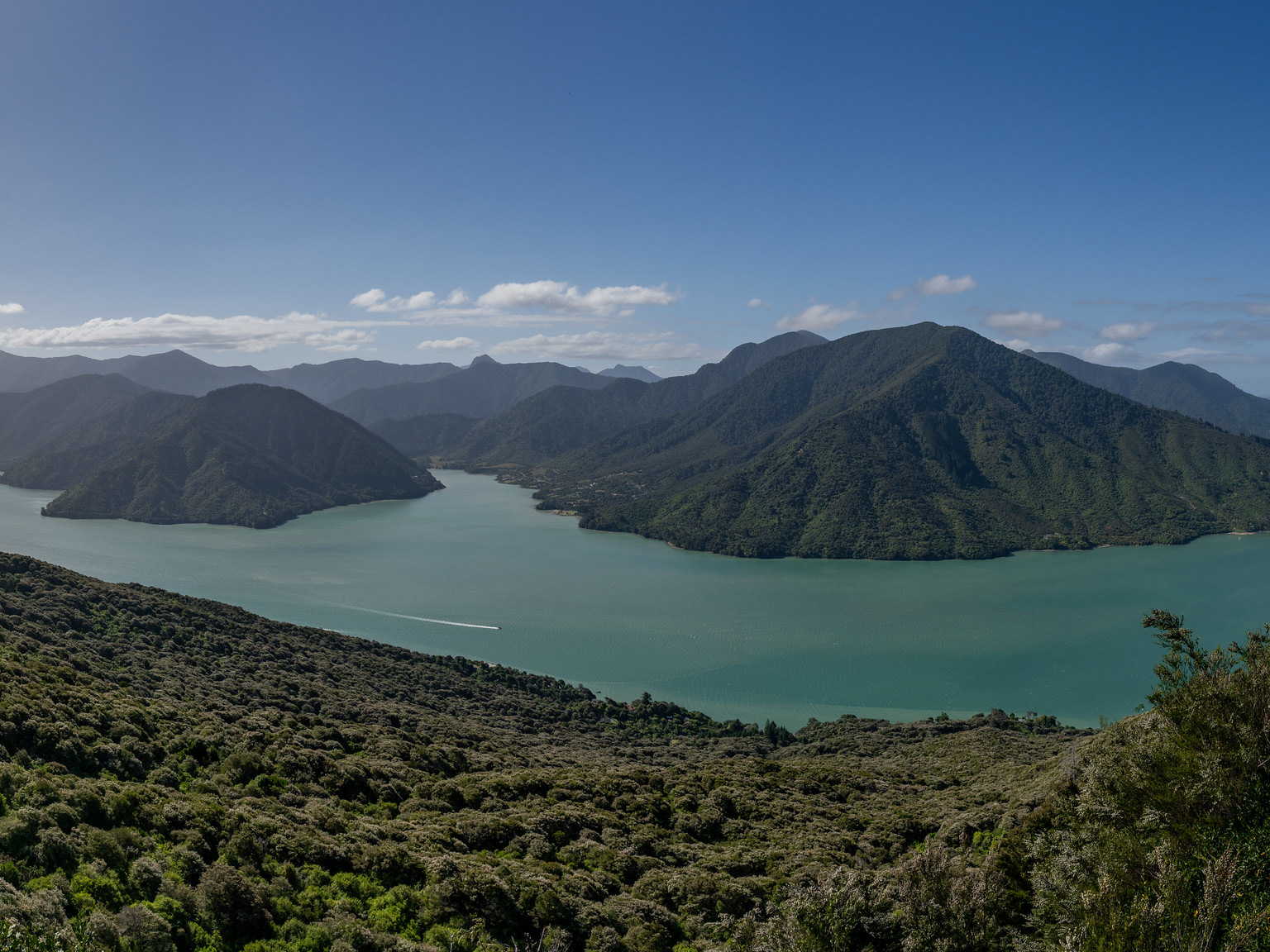
The Atahaua Valley, Kenepuru Sound in the distance.

The biv itself is reached within a few minutes, though it's a decent drop down off Sunday's 1310m height. It's quite a cute wee thing, with two bunks squeezed in and not a lot else. It has a toilet, plus a clearing to the north which permits views to the general vicinity of Nelson. I quickly signed the hut book, had a snack and then continued on my merry way.

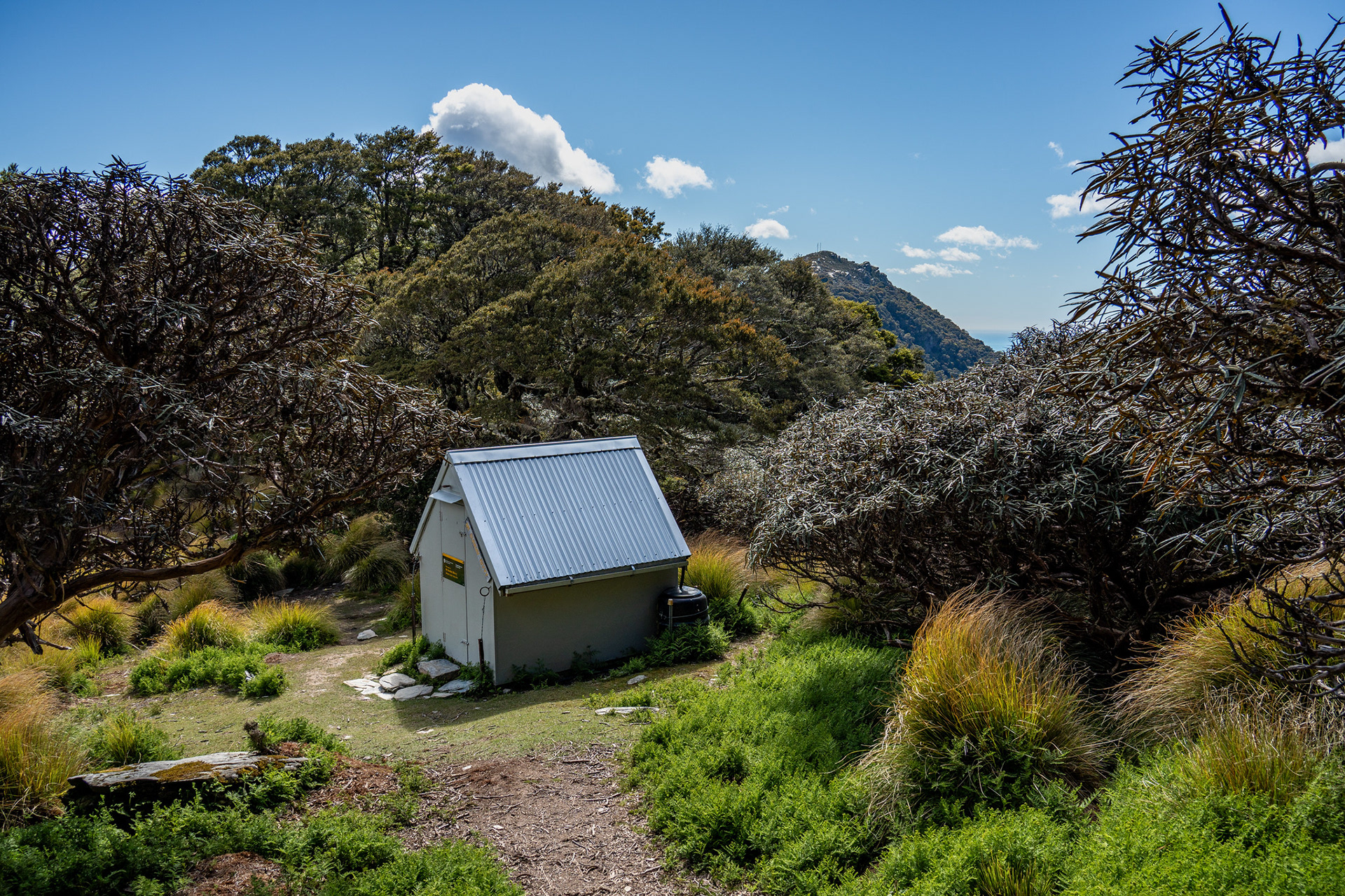
The very cute Mt Sunday Biv.

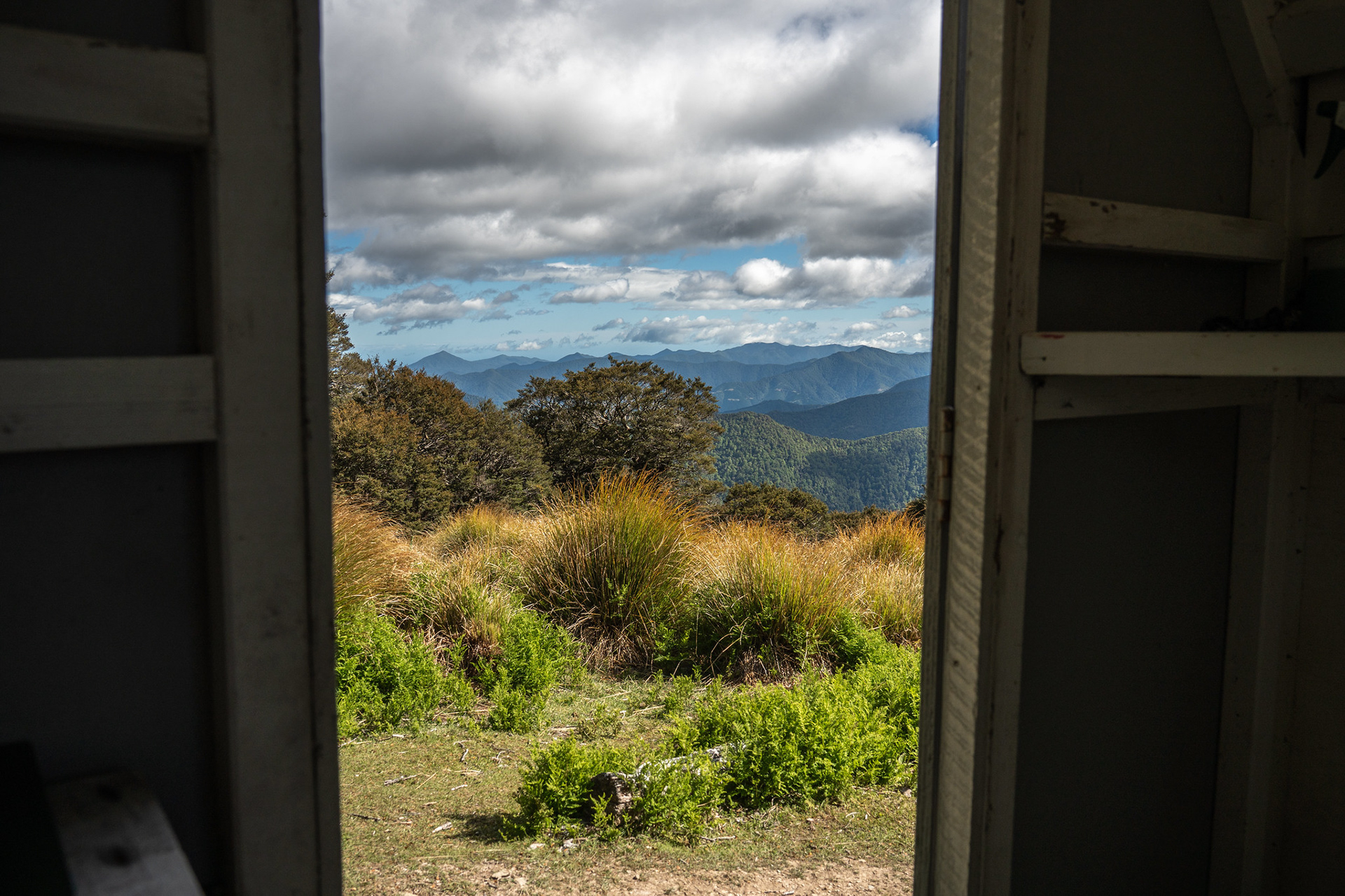
The view from inside the biv.

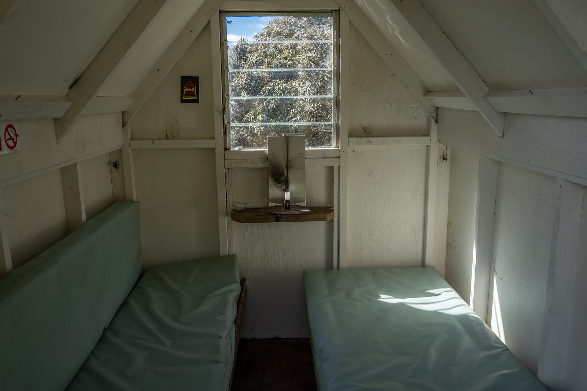
Interior of Mt Sunday Biv.

Next came the oscillations as I traversed across to Riley. I was aware that the linkage dropped a bit, but was a bit surprised to see my altimeter read 1160m both before and after pt. 1220. It's one of those loops where the elevation all adds up, but that was fortunately of minor concern with just a day pack to carry. Ticking off the climbing soon left me on Riley, with its transmission tower and views. Riley has much the same views as Sunday, with the exception of a superior look into the Kaituna Valley all the way up towards the Kenepuru Sound.

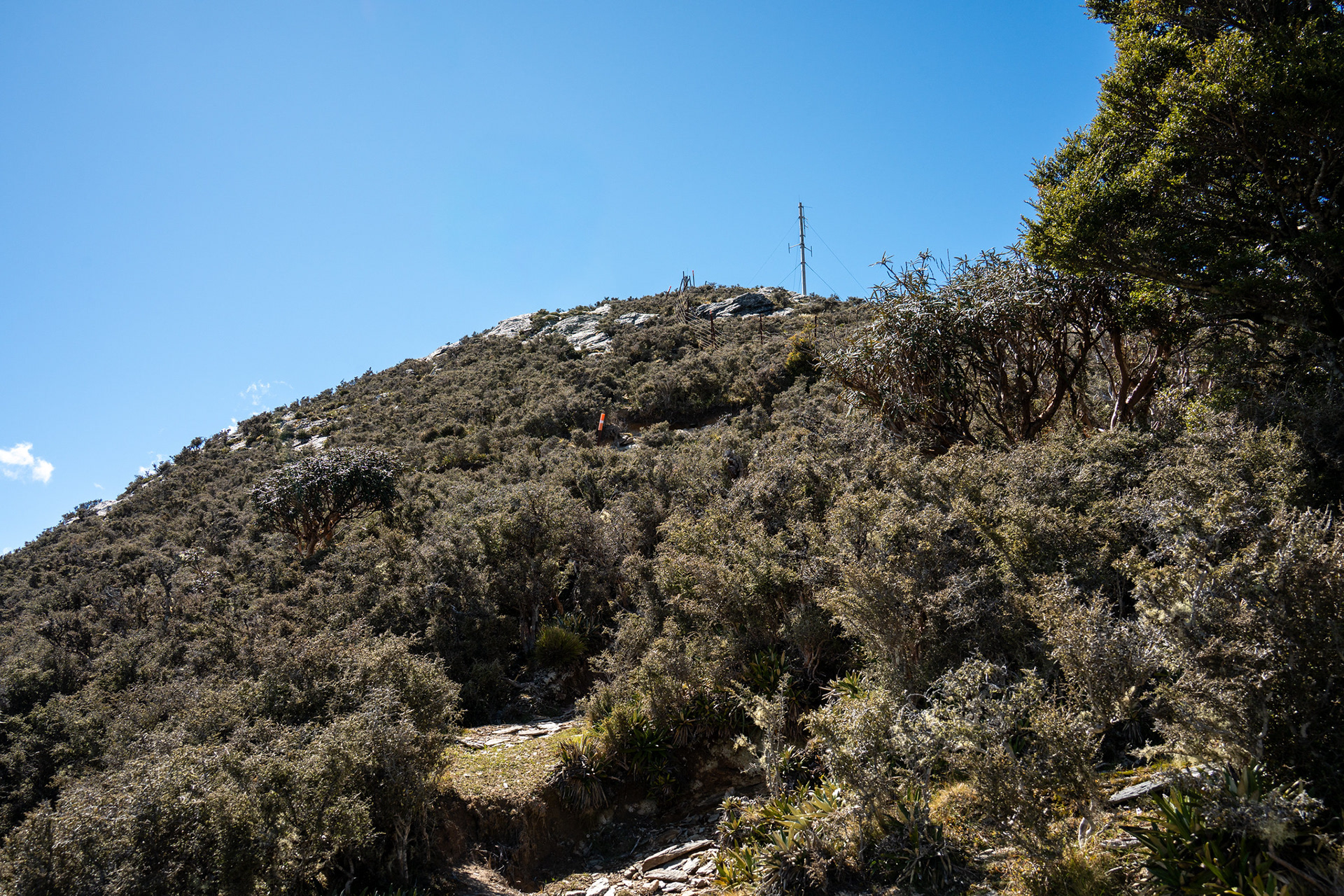
Prickly scrub on the final approach to Riley.

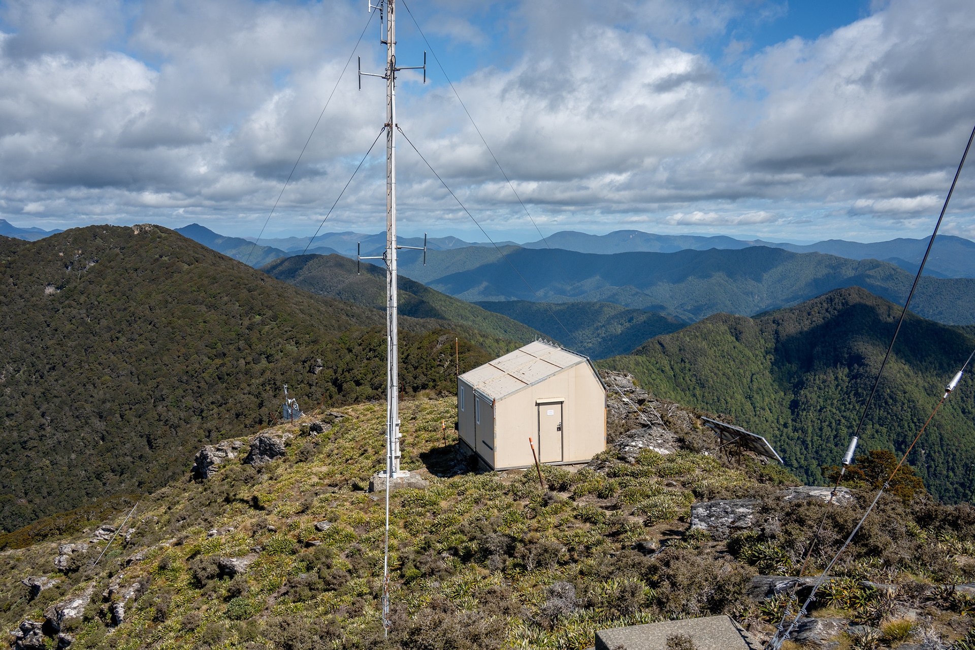
The transmission architecture on Riley.

I sheltered behind the main building by Riley, trying desperately to escape the winds which continued to batter the peak. It kind of worked, and after a snack I wandered over the summit proper. There is no trig on the summit, but there is a geodetic survey marker. Beyond the summit, the route drops through large outcrops for a few minutes and then into a far gully. It's really important here to note that the track swings right just above the scrub line, there is a waratah visible from above the gully but you cannot see it once you're nearby. There are significant ground trails leading into the scrub, which makes me think I'm probably not the first person to miss the hard right turn.

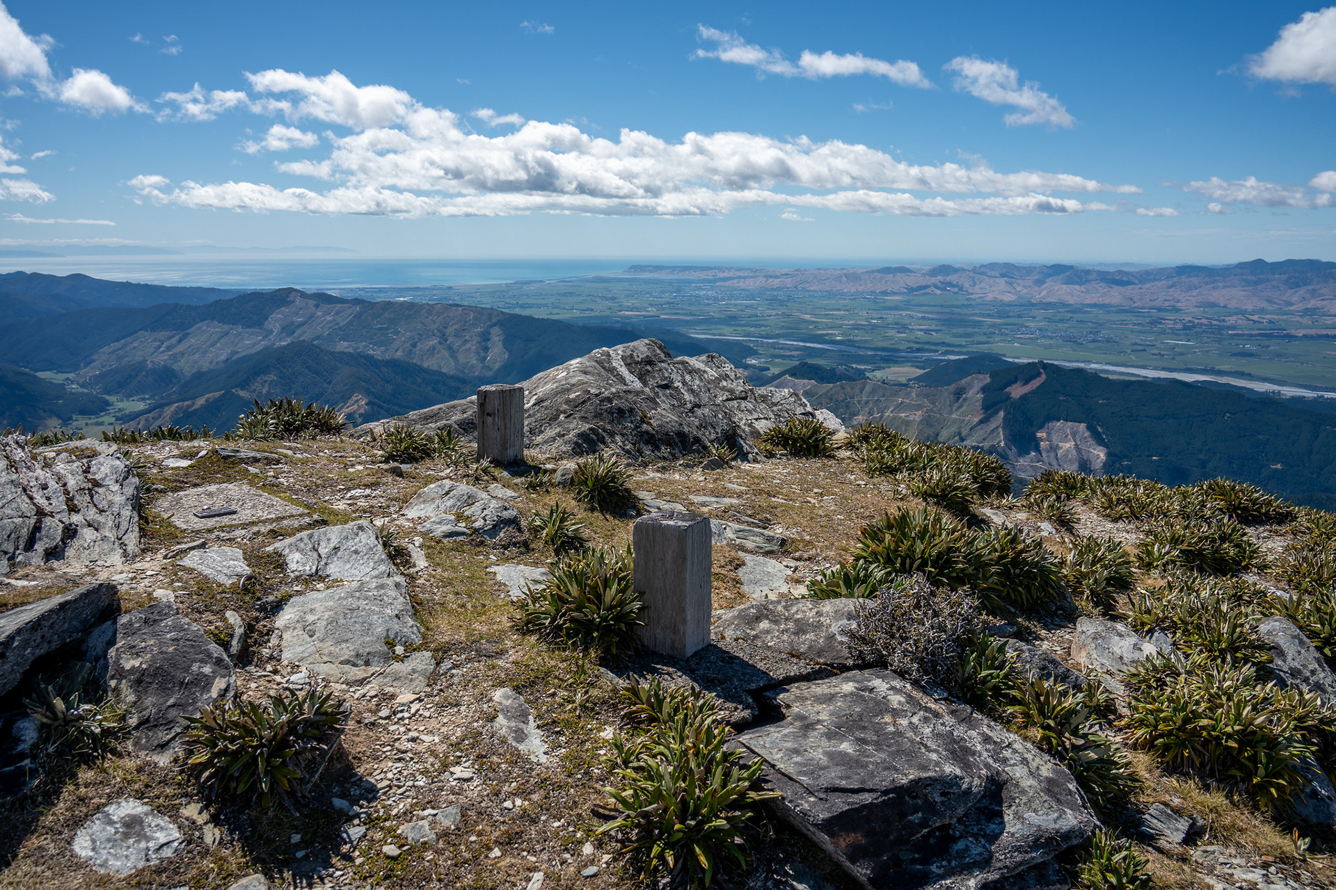
The true summit of Mt Riley.

Starting the descent off the peak.

Back up the initial section of the descent, note that the track continuation is off the left-hand side of this image.

With that navigation whoopsie resolved, the track then drops down another gully on the far side and then swings left. Some of the marking here is a bit sporadic, so care needs to be taken to not follow the gully down too far. As a general rule, the trackline swings left for a lot longer than you might expect. Once down below the canopied bush, the marking is briefly vague in the open understory. Again, the track here turns hard left to migrate onto the eastern spur - this is also easy to miss. None of this navigation is impossible, but it's worth paying extra attention in this area under Riley to avoid having to backtrack and refind markers.

The second of the gullies.

When I finally made it onto the descent spur proper, things got easier. The understory became more crowded which made the cut track clearer, and it became a case of just ticking off the kilometres as I went. There was a nice treat in the form of fern glades lower down, which was appreciated.

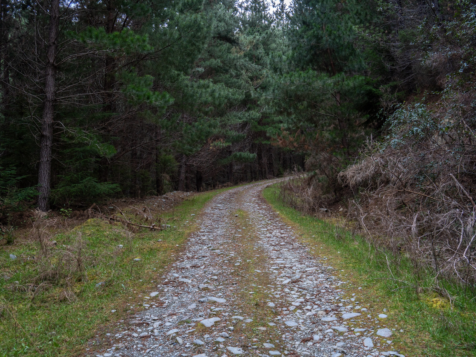
The well-formed section of the Riley descent, after the initial open travel is passed.

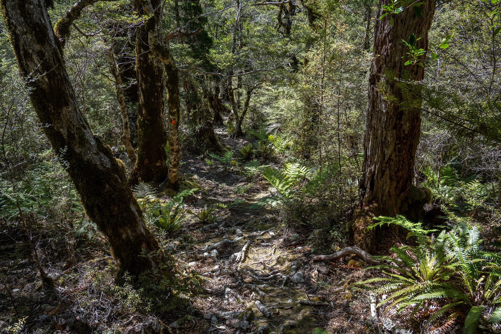
A bit of lovely understory.

At around 550m, the track swings off the main spur to go right onto a secondary one. This is reasonably easy to follow, and a few kilometres later the track leaves the crest entirely to switchback down into the adjacent stream. This almost marks the end of the route, with a dry-feet crossing followed by some up-and-down travel on the true right which leads to the track junction. From here, it's the same 250m back to the carpark to rest up and celebrate.

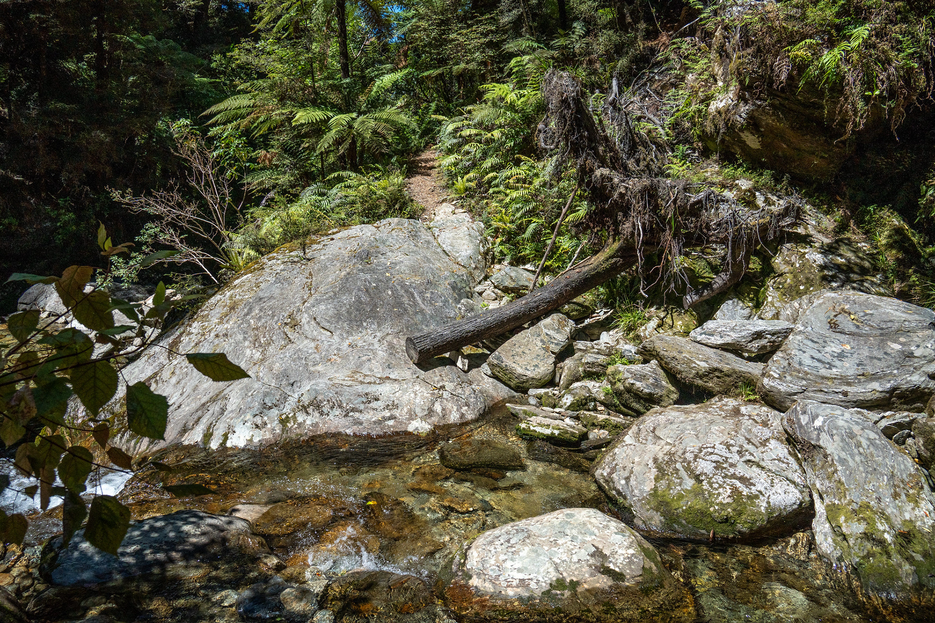
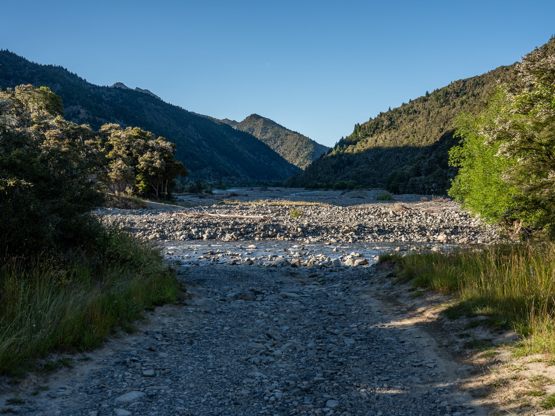
The dry-feet crossing near the end of the track.

The entire loop is ~13km with 1600m of climbing. DOC timing on the sign is 8 - 10h, but this may or may not be conservative for most people. Based on the hut book entries at Mt Sunday Biv, most parties will take somewhere between a half and full day to get around.

You may also like

Back to Top