====================================================================================================
Access Note: The normal marked route up Mt Patriarch starts on Staircase Road, which is a personal access easement (PAE) through land managed by OneFortyOne. Before heading out, check the status of the PAE on the DOC and OneFortyOne websites to ensure you'll be able to get to the trail end.
====================================================================================================
Mt Patriarch is a formidable peak from SH63, with a long summit ridge and ramparts which cascade down. Ironically, the actual climb is short, sweet and mostly easy with a bit of exposure and loose sidling. It sits near the western end of the Richmond Range, a little isolated from the better known peaks of Richmond and Fishtail.
Mt Patriarch as viewed from the pastoral hills near Mt Nobel.
The crux of Patriarch is getting to the start. Staircase Road takes off Top Valley Road, and it's a long one. It's not wildly technical, there are some steep lumpy sections on bedrock but it's just a haul. The road is speed limited to 40kph, you'll probably drive slower than that due to all the twists and turns and there will likely be some stopping to clear pines off the road. That being said, it's a very scenic drive - there's a lovely view of Lake Chalice, and the Enchanted Lookout is absolutely worth the few minutes of walking as a side trip.
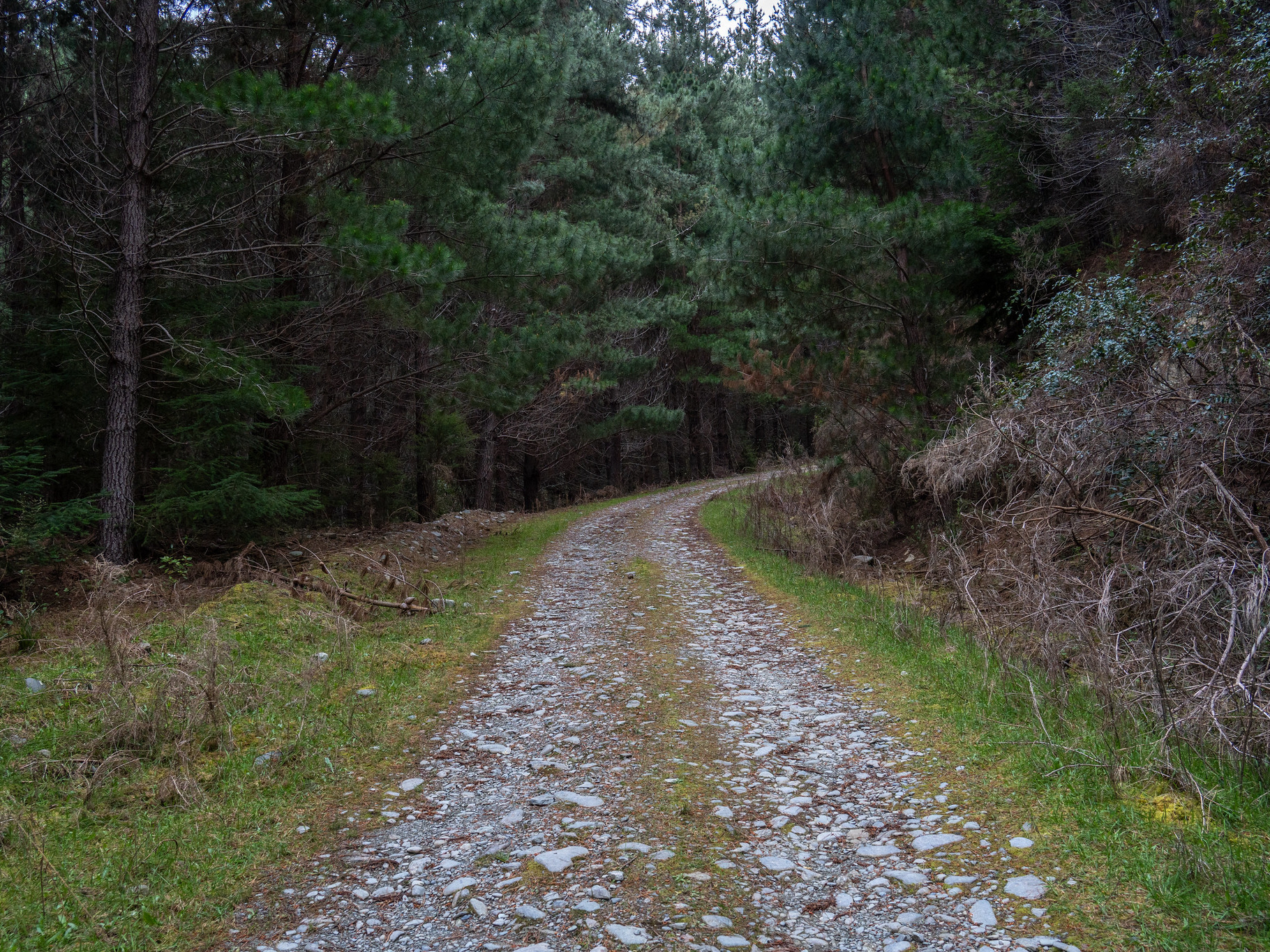
The actual road surface doesn't really deteriorate, despite the topo map showing it moving to 4WD track. Some of the latter travel is on quite thick gravel and you might need to clear some of the bigger rocks off the track, but most cars will get a reasonable way along. We'd biked part of the 4WD track in 2019 as a family, and watched with immense amusement as a tourist in a Toyota Corolla drove the section west of pt. 1328. To their credit, they got all the way through - hope it wasn't a rental.
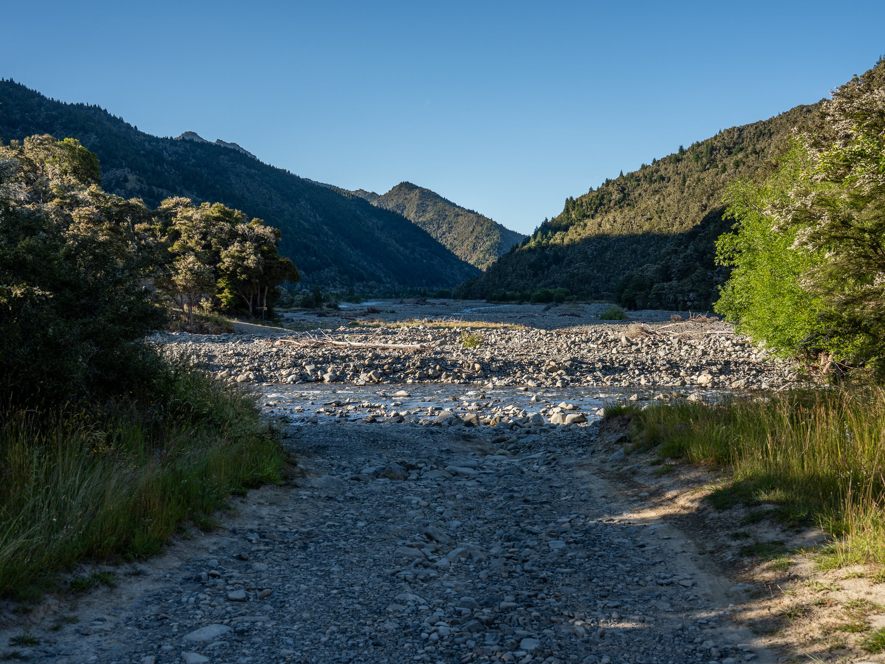
Looking back down the 4WD track that makes up the upper section of Staircase Road.
This time around, I'd driven up with my fiancee. There's a good grass clearing SE of pt. 1292 which is where we stopped, something which I cursed a bit when biking the final section to the track start. There are a surprising number of small ups and downs as you go, and with bits of it being rocky and loose it's hard riding. It was ~7km and somehow took over half an hour, but on the bright side the descent was fantastic.
At the track start, there is a wide cleared area and a bit of signage. There was one vehicle there when I arrived, so I tethered my bike to the DOC sign and was ready to head out.
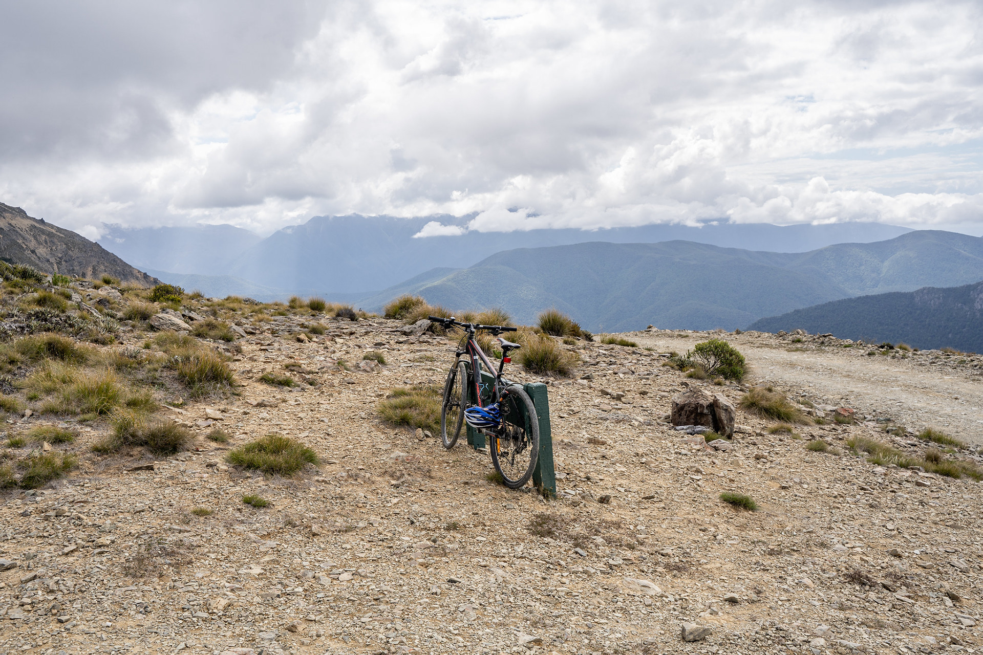
All locked up and ready to head out.
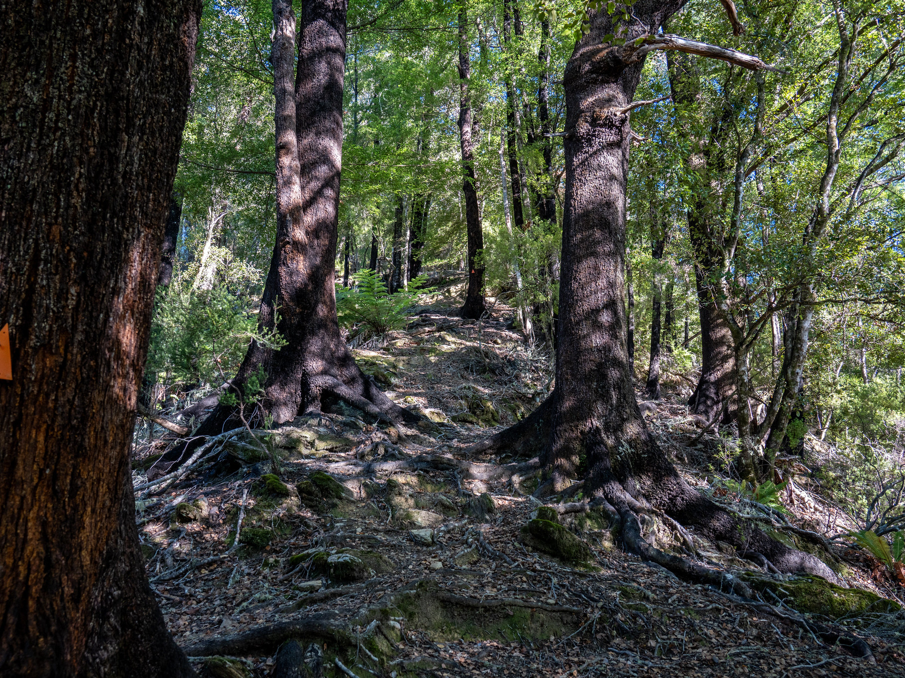
The first hundred metres or so is a bit vague, but if you head in the general direction of the pines you'll find a marked route that cuts a narrowish swathe through the foliage. It doesn't last long before it spits you up onto the range crest, which is where the fun begins.
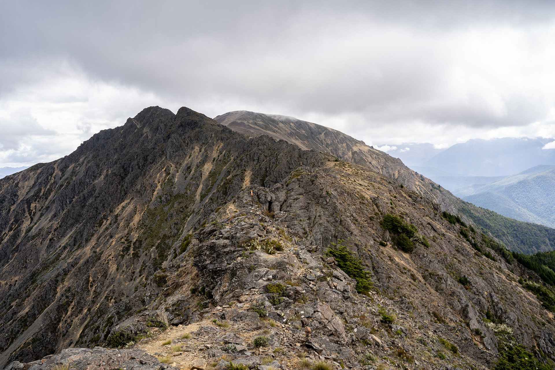
Looking along the crest of Mt Patriarch, the route stays up top initially before dropping right for the sidle.
The opening salvo isn't particularly technical, though those who are not good with heights might find the left-hand exposure unnerving in places. It's not a climbing route by any means, but DOC specifically advises that it's unsuitable for inexperienced parties. There is a ground trail for almost all of the route, though in places it does pass within half a metre or so of drops which would be fatal.
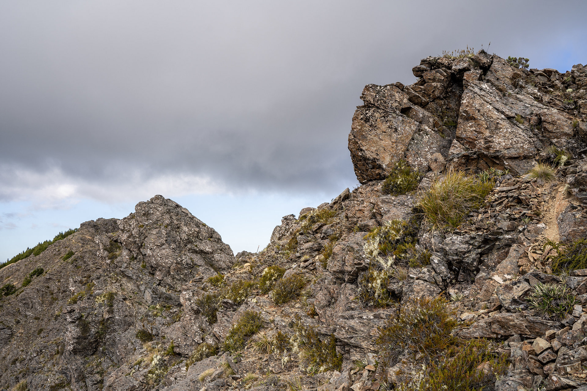
Looking back at a section of the early route, marker pole visible in the centre.
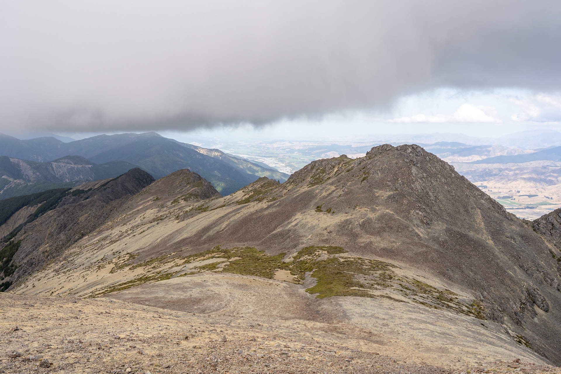
After a kilometre, the route drops right and onto face slopes. It's not super pleasant travel, to be honest - the terrain is largely loose slips and scratchy vegetation, but it's comfortably followable and not too difficult. It's also mercifully short, quickly giving way broad rockfields which soon lead to the summit.
The broad fields of rock and shingle on the approach to the summit.
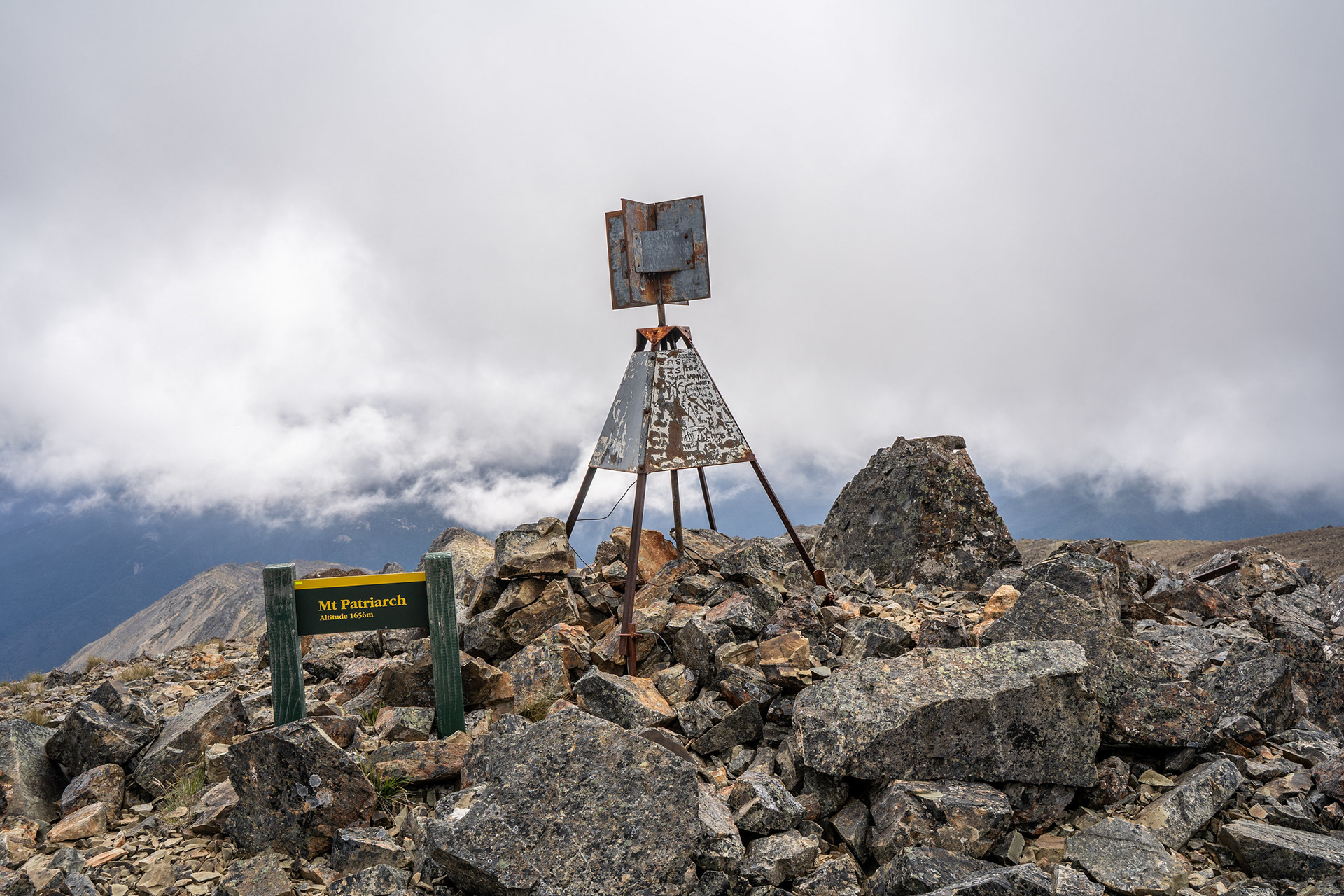
The summit trig of Mt Patriarch.
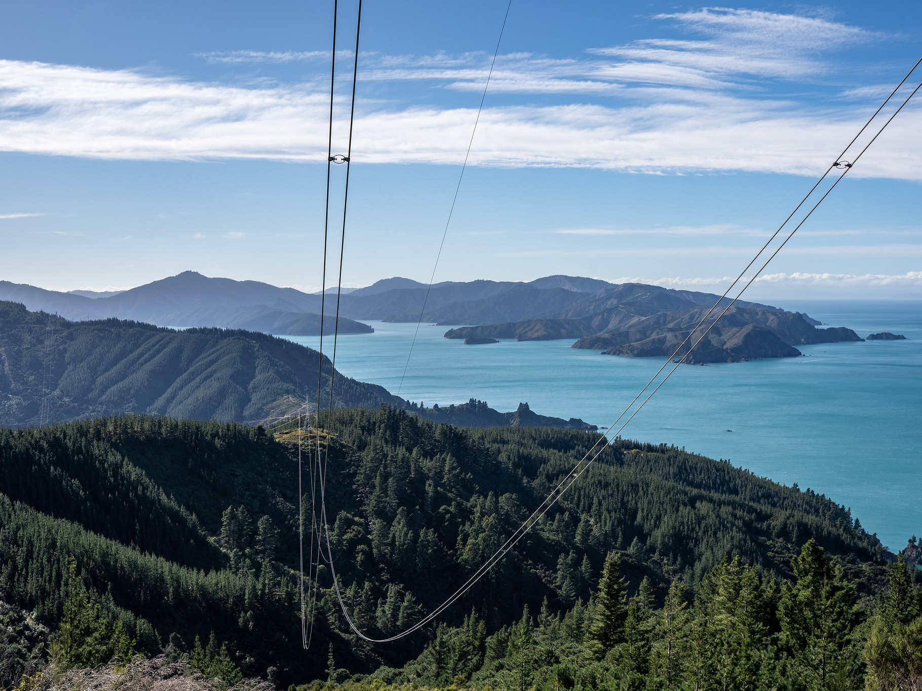
I imagine the summit views are quite nice, though I didn't have that many to savour. It had been hit and miss as to whether the summit would be in clag, not really a great forecast but my Christmas holidays were almost up so we decided to give it a go. I was fortunate in that there were limited views up towards Lake Argyle and the Branch catchment.
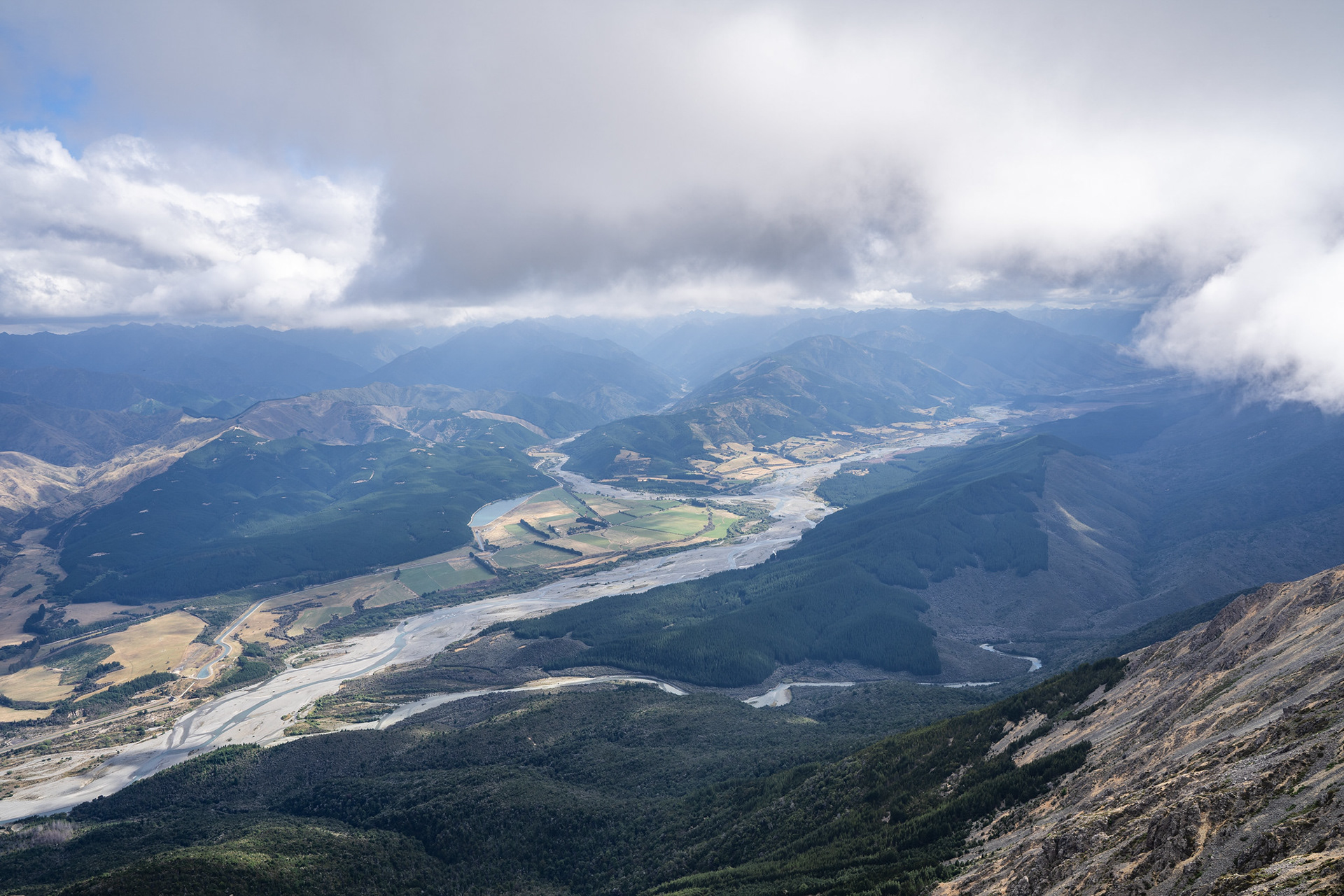
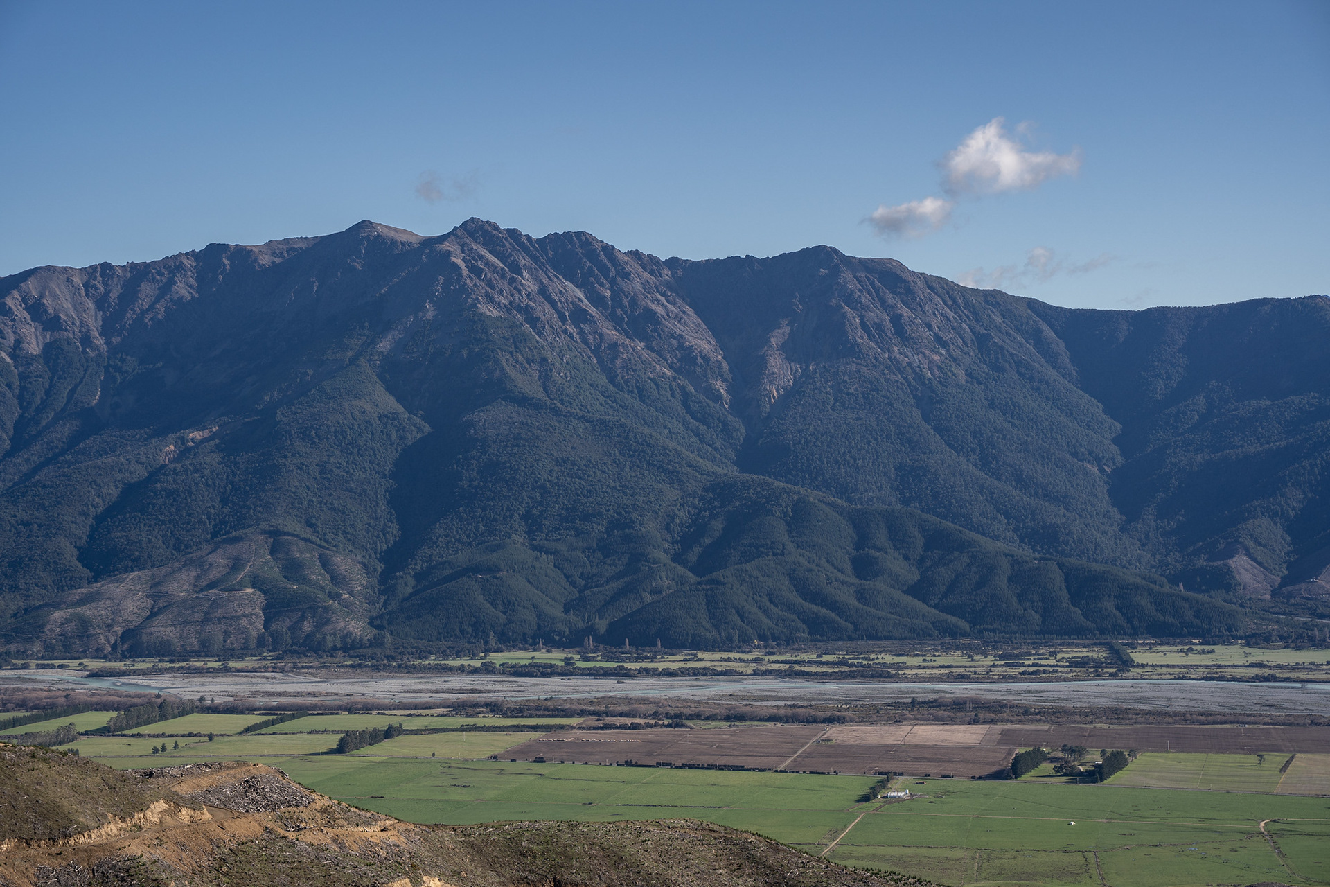
The Branch River (background) flowing into the Wairau, Lake Argyle (great trout fishery!) is visible too.
Photos taken, it was time to head back. Retracing the steps was easy enough, and 1:05 of walking later I was back at my bike. A delightful hoon took me back to the car, where my fiancee had collected all manner of pinecones. All that was left was the long drive home, watching Chalice shimmer in the late afternoon light.
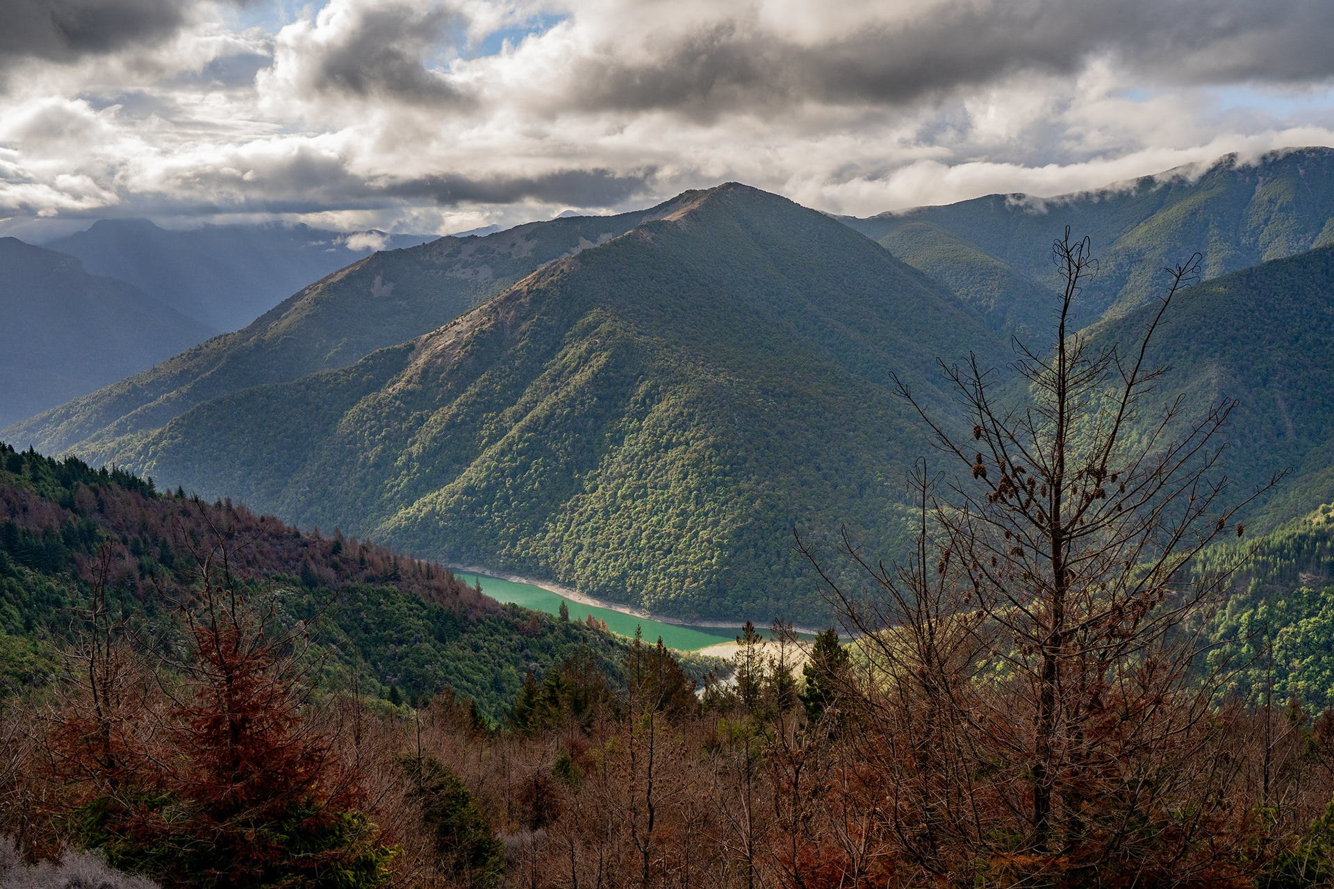
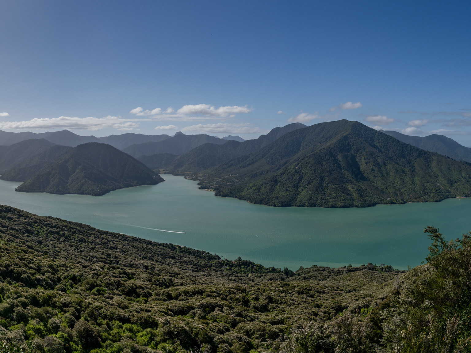
Lake Chalice, a beautiful setting amongst the ranges.