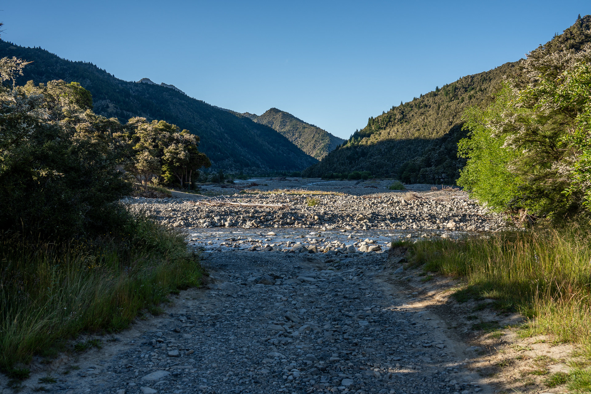
The opening ford of Boulder Stream, the 4WD track of interest heading left.
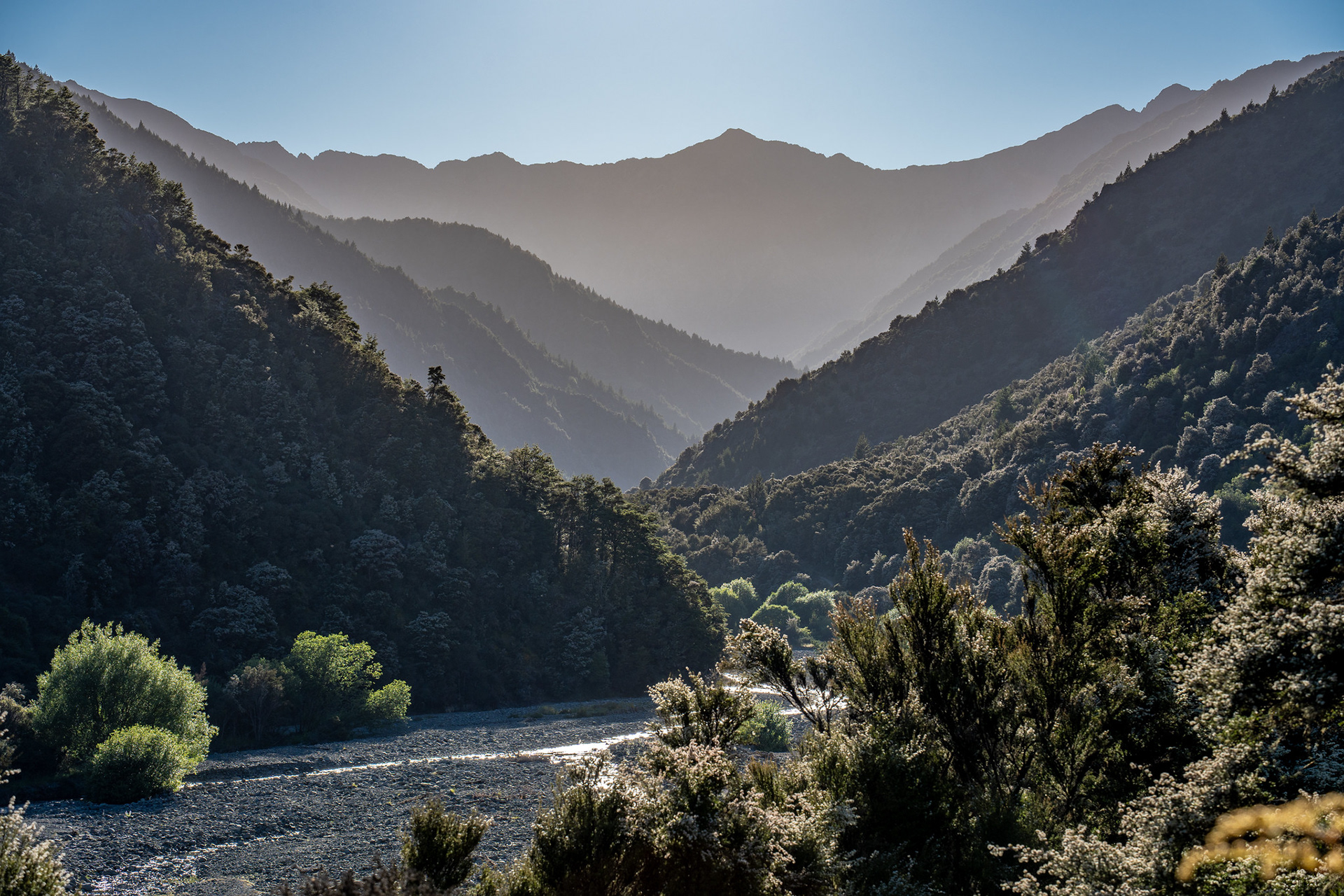
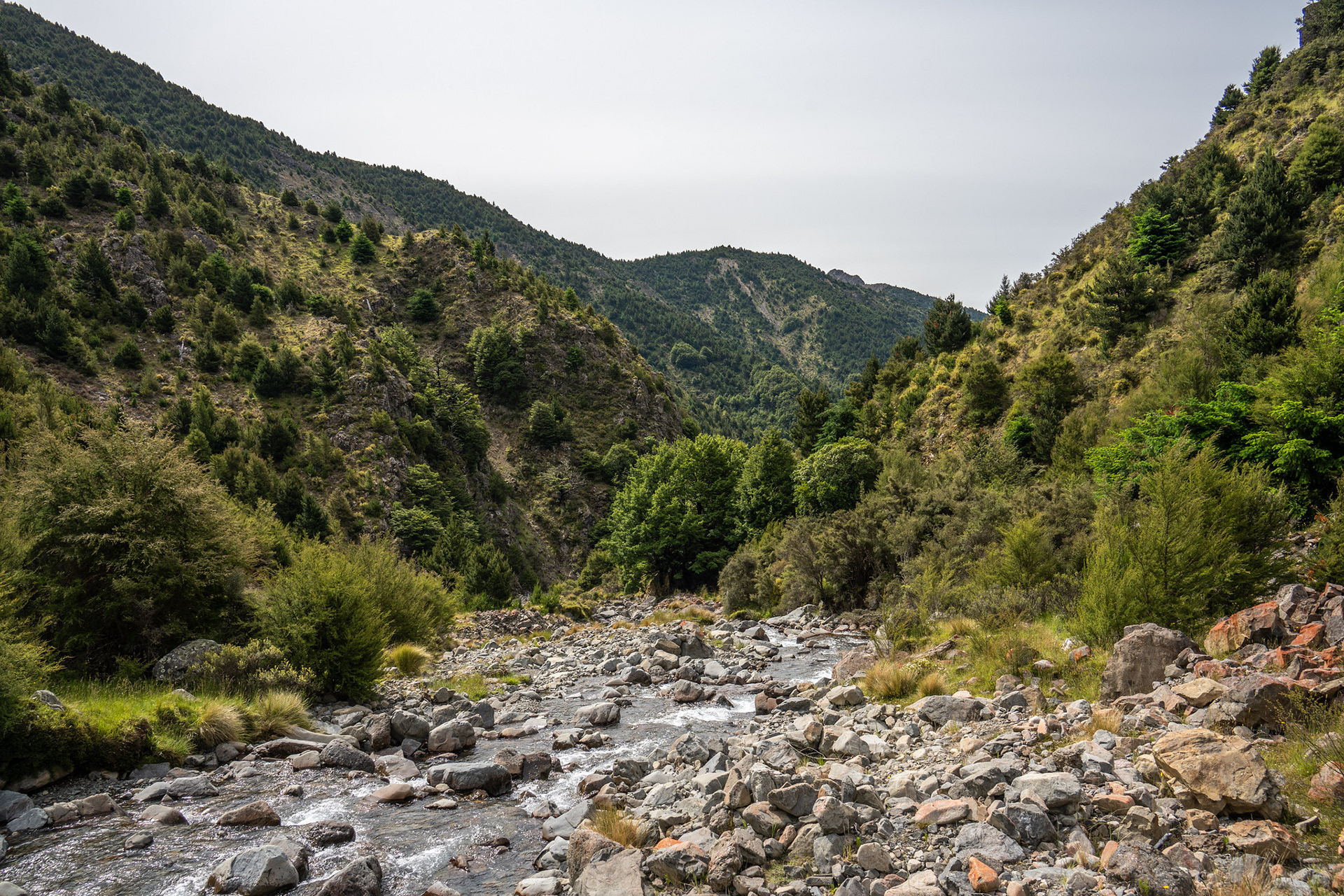
Looking up Boulder Stream in the morning glare.
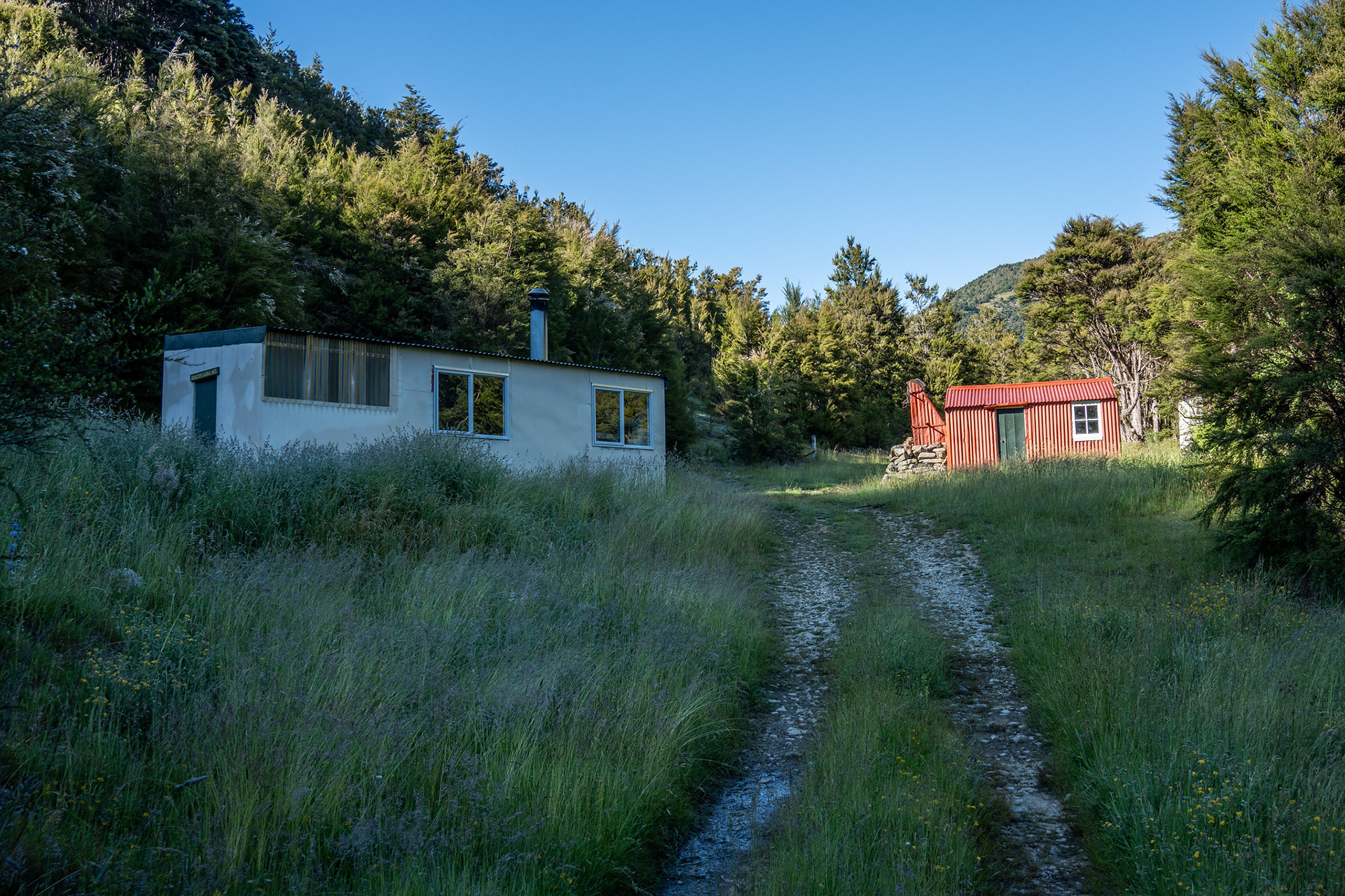
The new (left) and historic (right) Boulder Forks Huts.
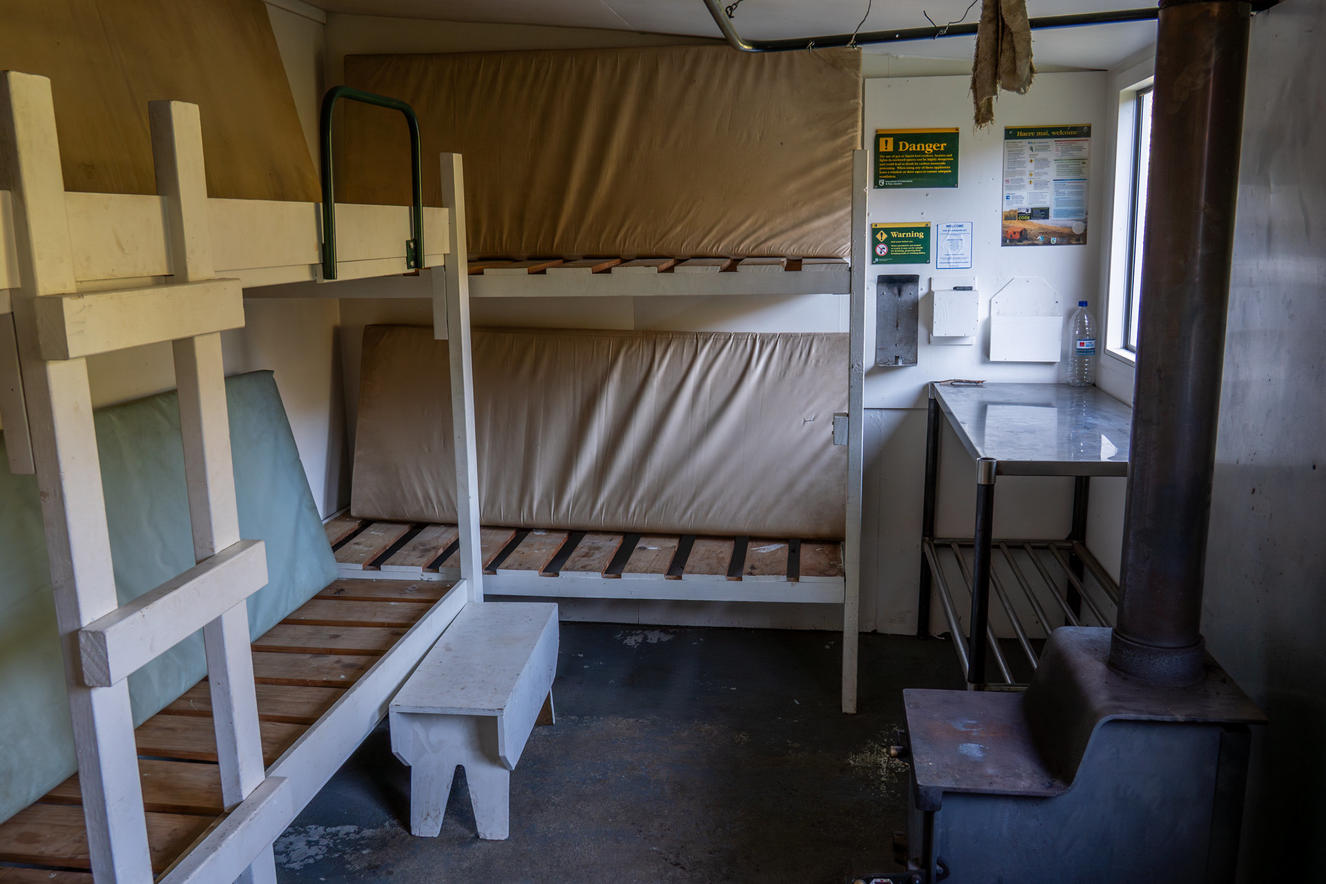
The interior of the new Boulder Forks Hut, if you're planning to stay.
McCallum Stream is very open, and it's only around half an hour before you hit the obvious location where it gorges up and becomes impassable. There's a waterfall in the river, and a steep incised gut to the right which needs to be initially climbed. While its steepness is notable, the real issue is how loose it is and how confined the gut is. If anything big came down it (and it's about 700m long!), you might be in for a world of hurt.
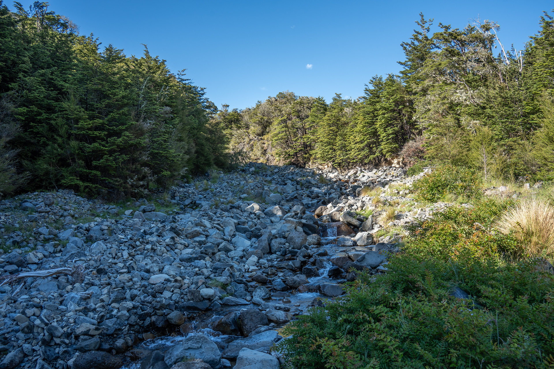
The lower reaches of McCallum Stream, a lovely setting.
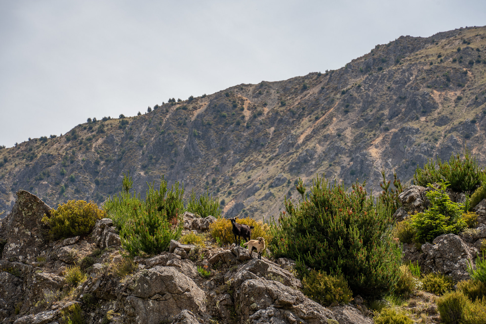
Heading up the slip on the true left of McCallum Stream.
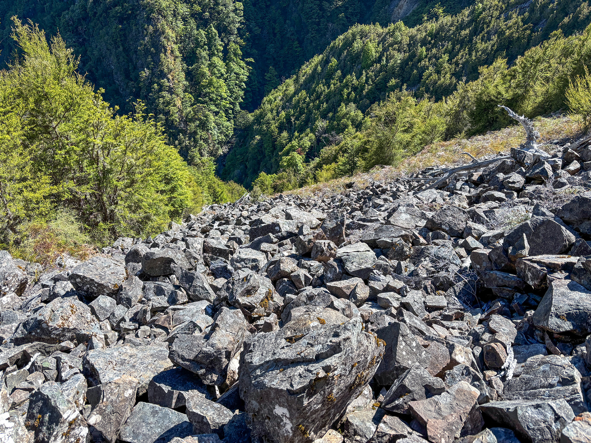
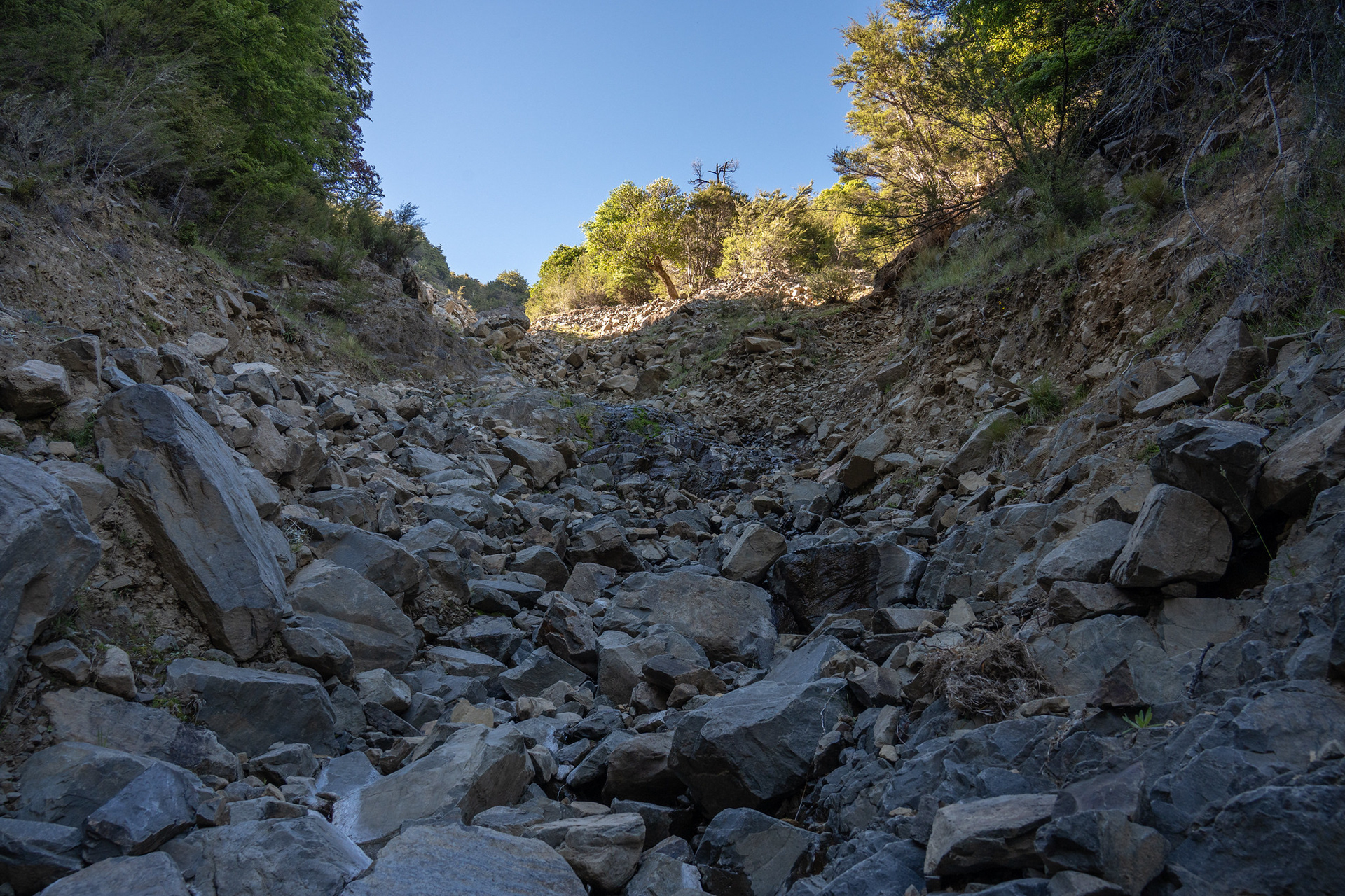
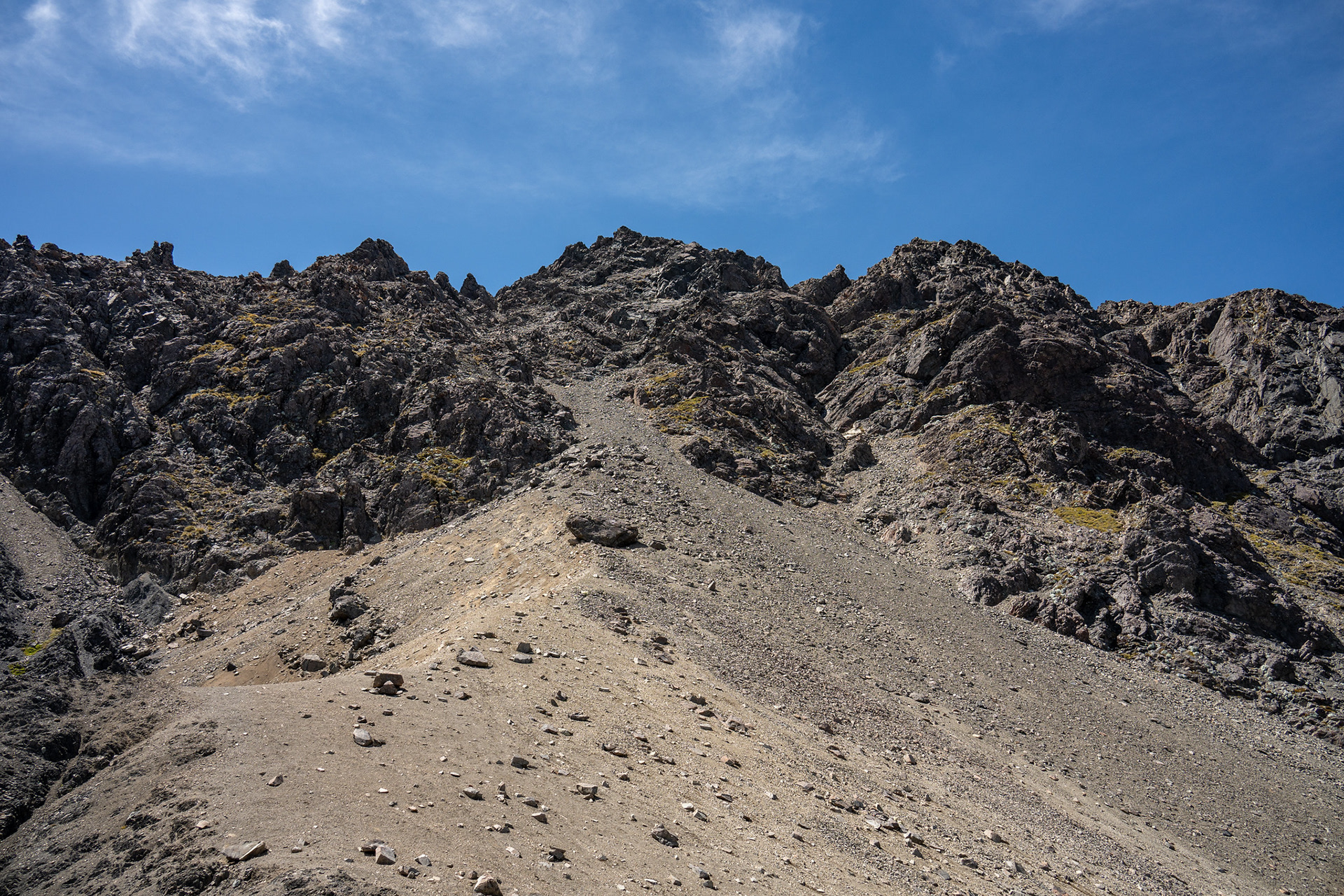
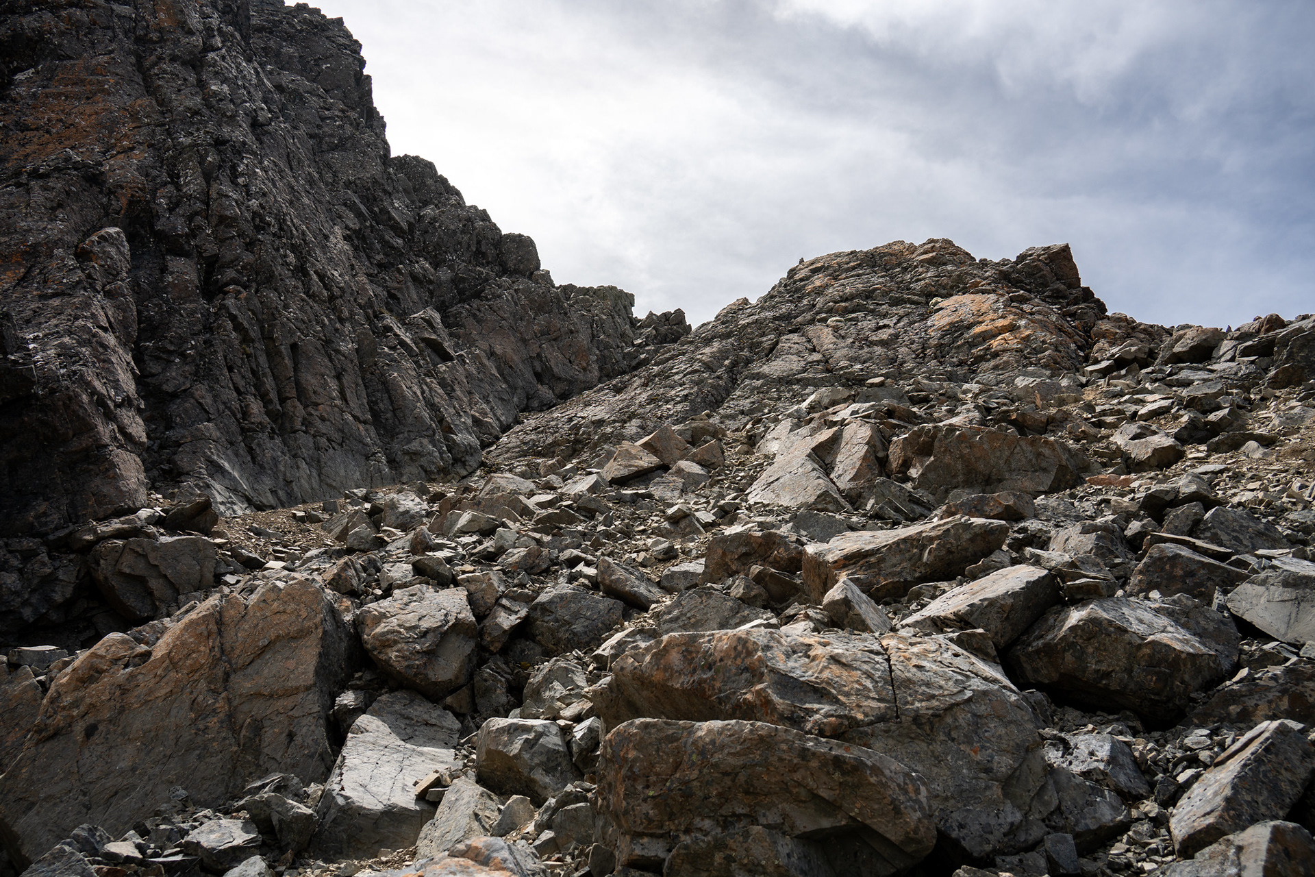
Back down the boulder field.
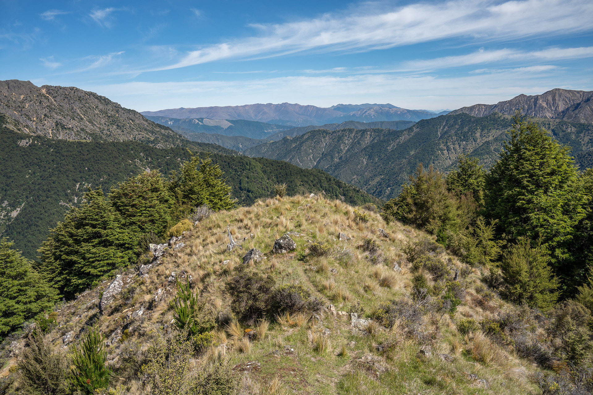
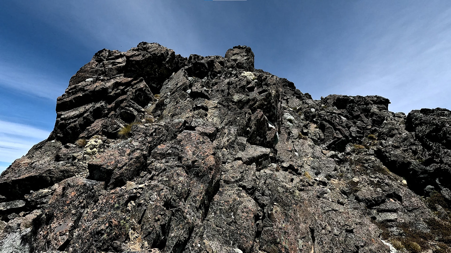
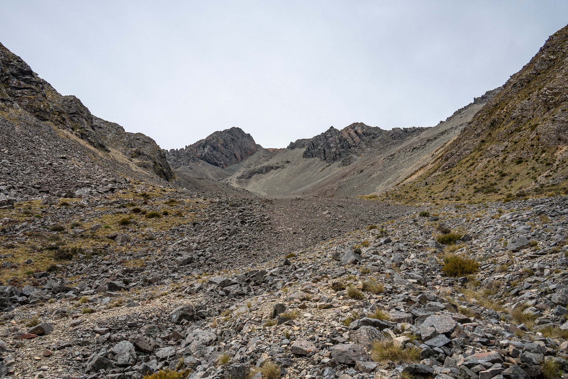
The view from the NW ridge of Pinnacle at about 1200m, immediately after clearing the boulders.
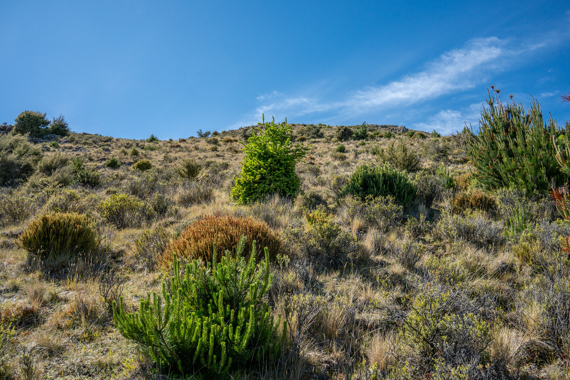
Delightful travel on the lower spur, despite the pines.
A glimpse left towards Bounds, I'd love to get up there one day.
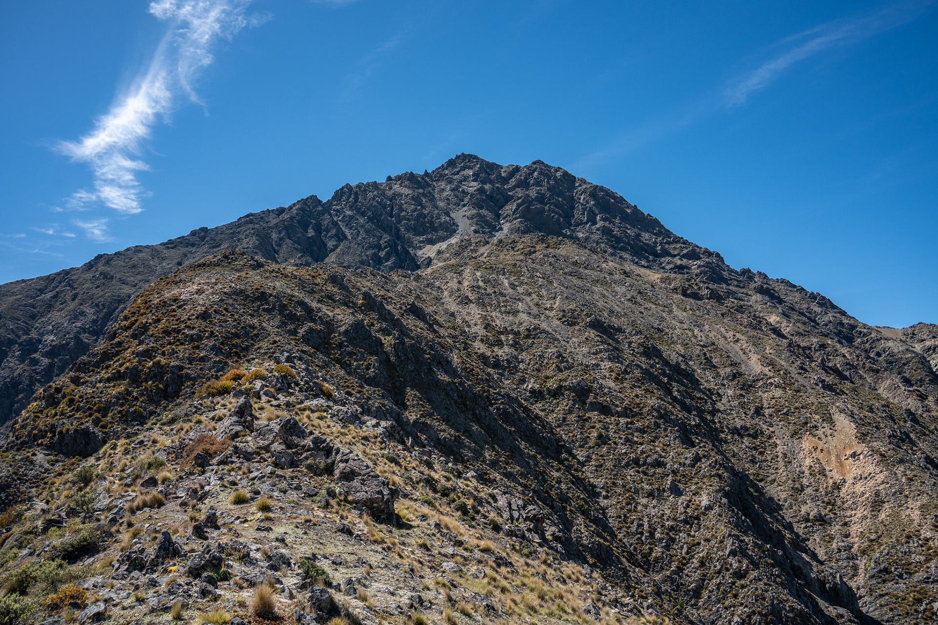
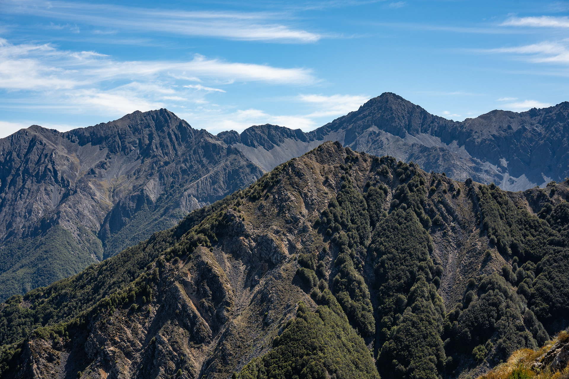
The view up to the summit pyramid of Pinnacle.
Looking back down the NW ridge of Pinnacle from about 1800m.
The NW face of Pinnacle, I took the obvious gully behind the large boulder but going right is apparently easier.
It's a bit of a slog up to be fair, and not my favourite part of the climb by any means. I don't think you'd suffer serious injury if you fell here, but it would be an unpleasant tumble in unforgiving terrain. It's also pretty tedious and protracted, I probably spent over an hour in the gully (it does climb 300m to be fair) and was grateful to be nearing the top. The very final bit is steep, and better tackled on the left-hand rock rib before you can making a rising traverse to reach the notch on the northern ridge of the peak.
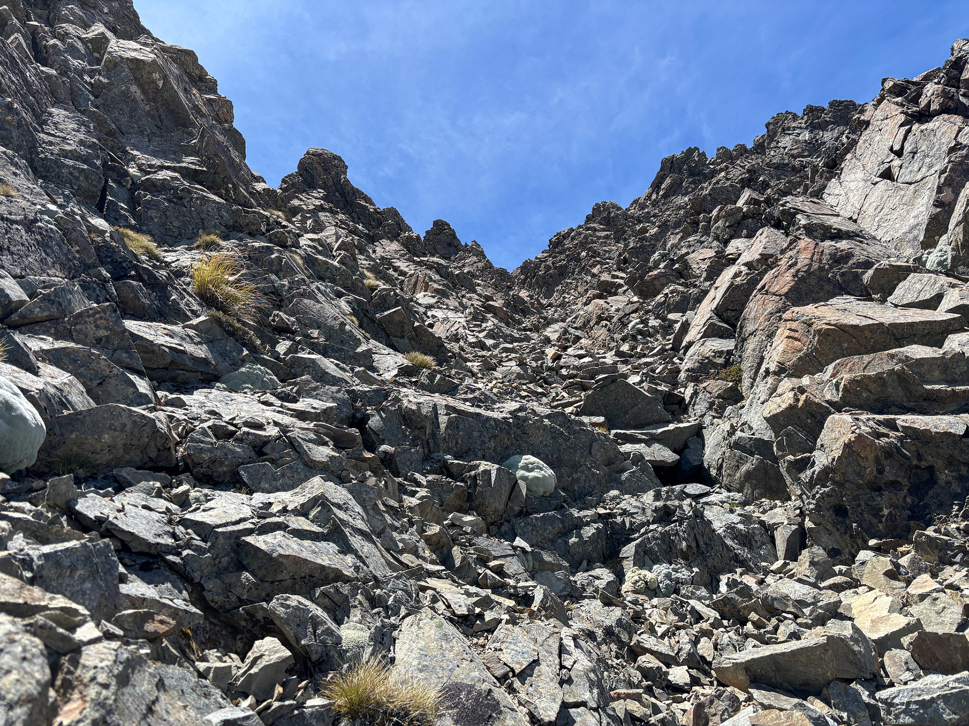
Broken rock debris low in the gully.
A GoPro snip of the summit ridge travel.
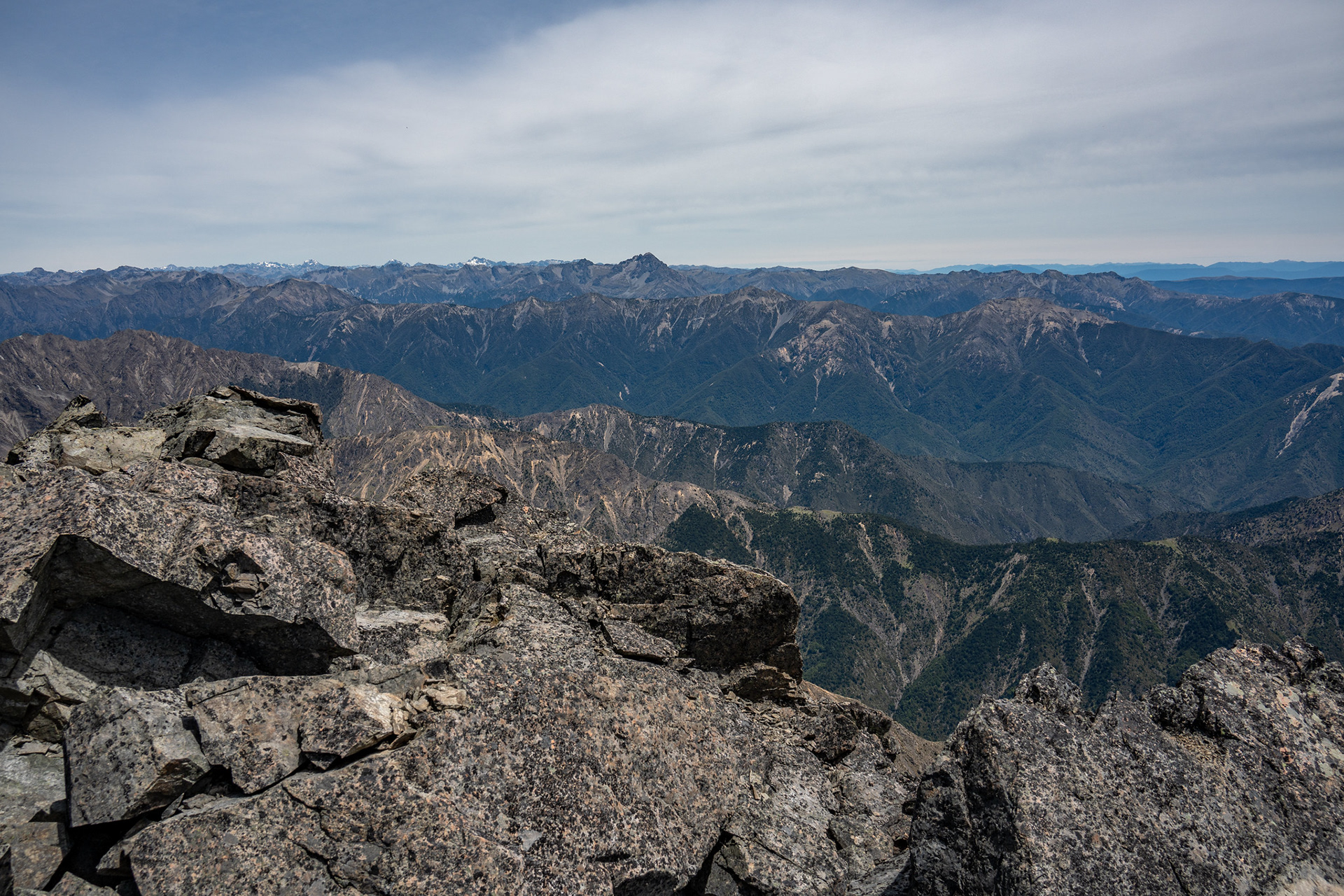
A view northwest towards Scotts Knob and the Nelson Lakes peaks.
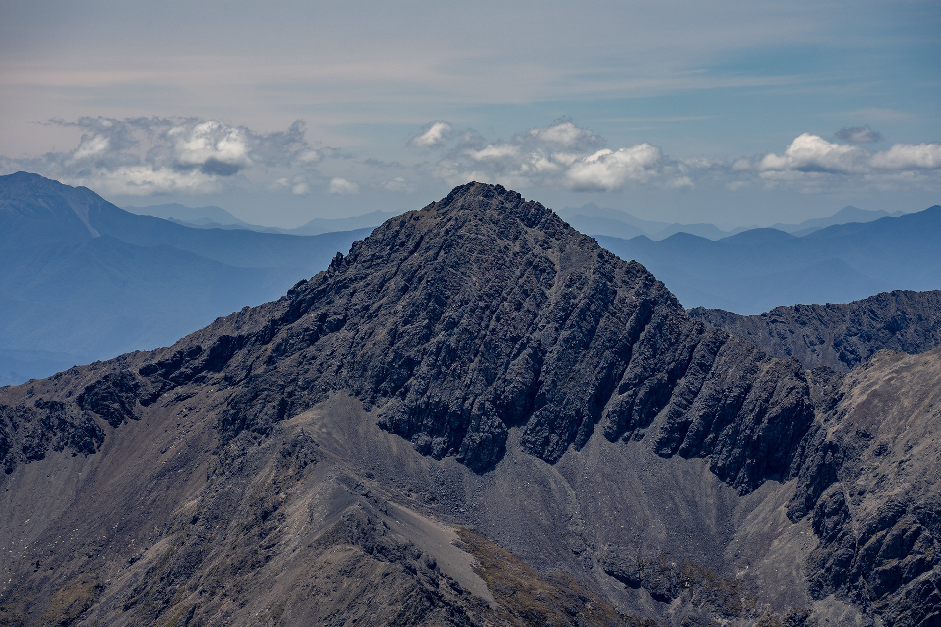
Scotts Knob.
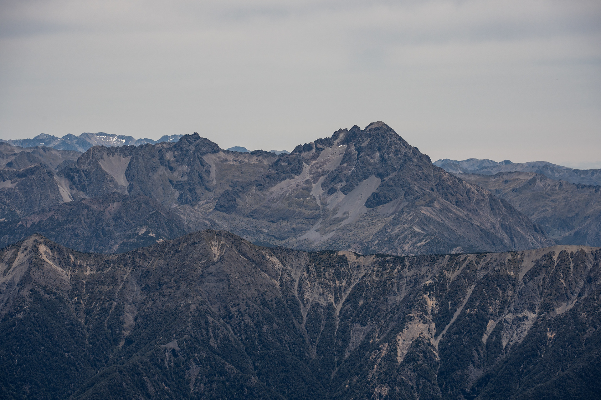
Bounds, its trig dwarfed by the bulky mass of the peak.
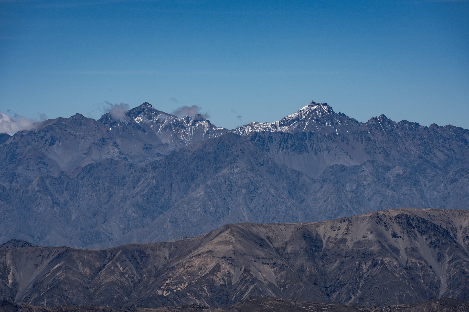
Tapuae-o-Uenuku (left) and Mt Alarm (right).
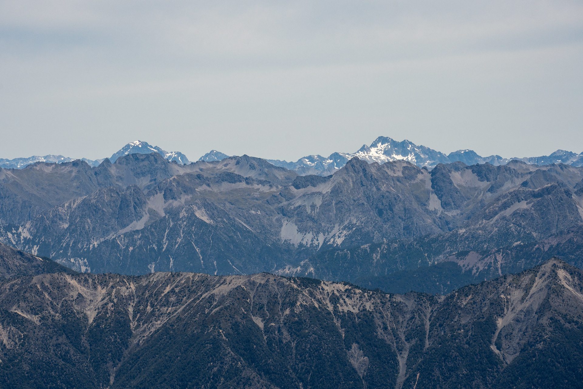
Very distant, Mt Cupola (left) and Mt Hopeless (right).
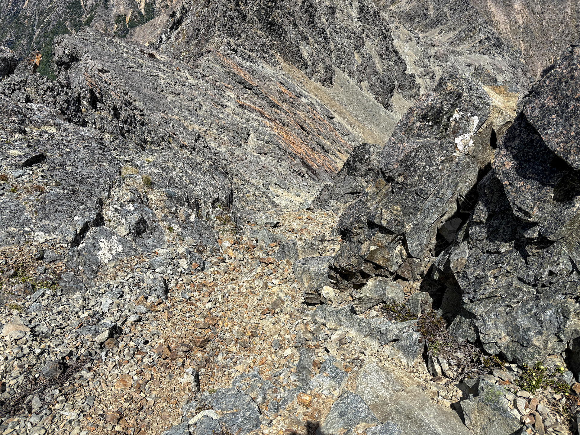
It's a bit hard to articulate how to get down into the Krushen, from the topo map it's obvious that the south and SW ridges of Pinnacle are quite cramped so there's no straightforward way to GPS the route. I remember reading many years back that other parties have dropped down a rock corner onto the scree below, so when I found a short gully in the vicinity I figured it would give a viable path down. It ultimately did, but it was a bit more involved than I had expected. The top gully leads down into a second more confined gut, which in turn spits you out onto a patch of gravel and then a large slab with a pinched corner to your right. The slab has gravelled ledges all the way down which allow safe-ish access with care, at which point you can descend excellent scree (avoiding the minor cliff bands) all the way down into the flats of the upper Krushen.
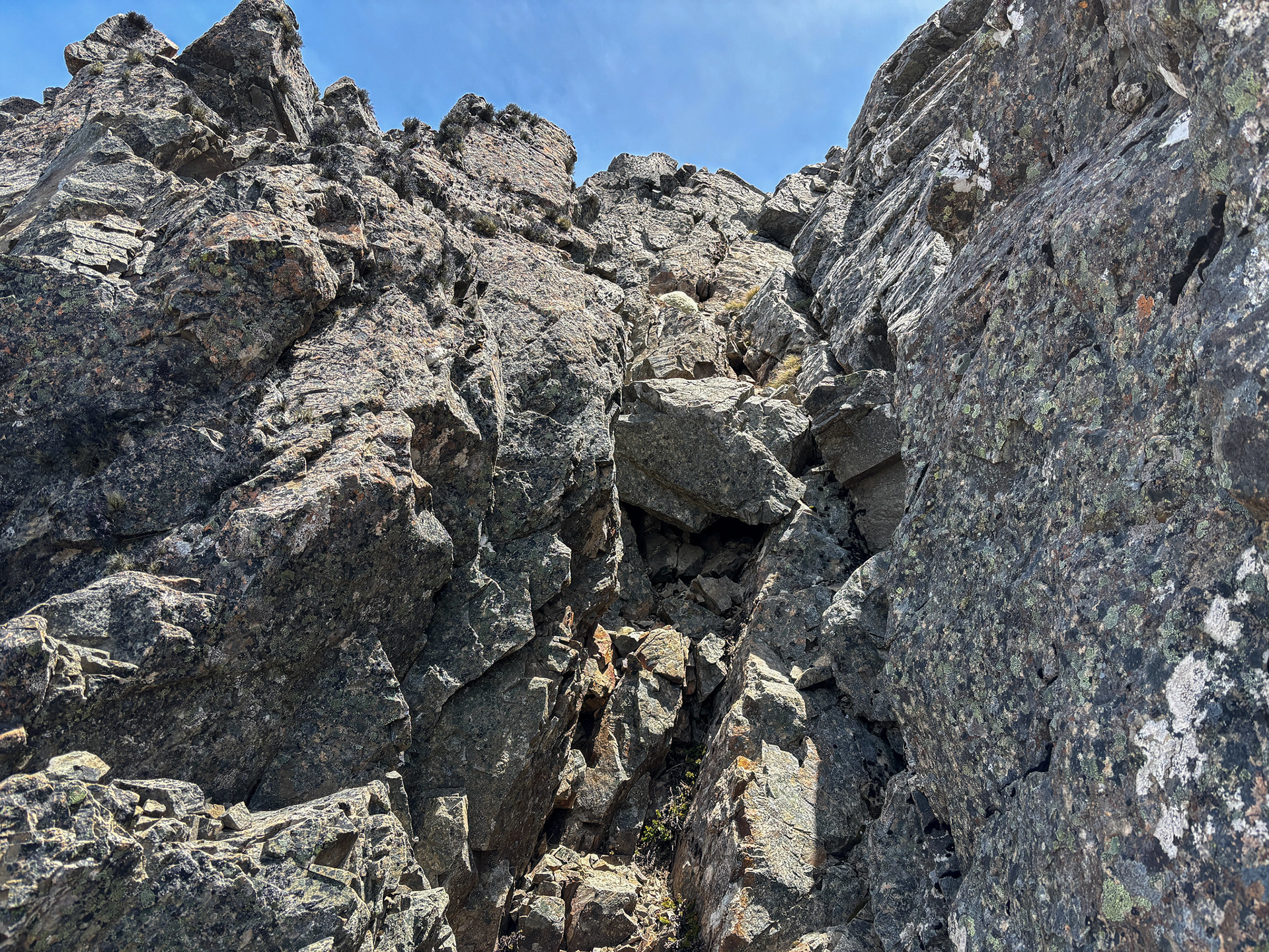
The upper weakness on the summit block.
Some loose travel to break things up.
Back up the lower slabs which need to be descended.
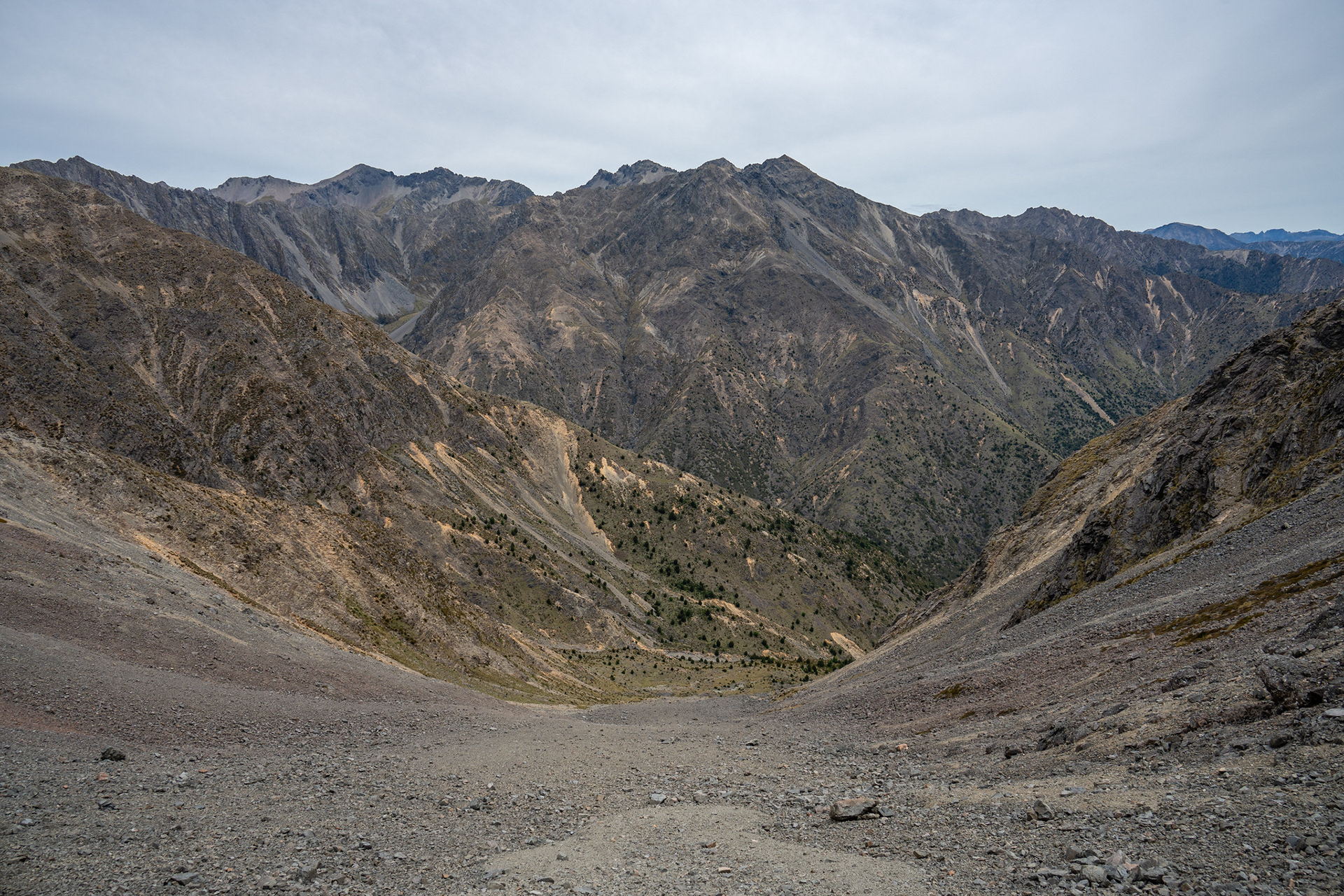
The upper Krushen Valley.
Back up the Krushen Valley, Pinnacle's SW face prominent.
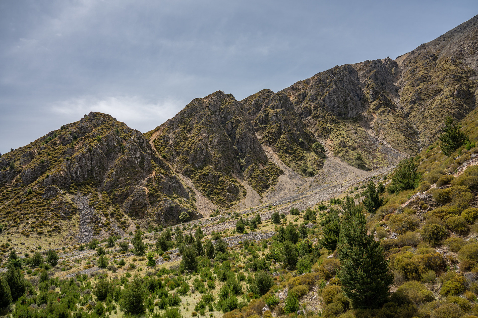
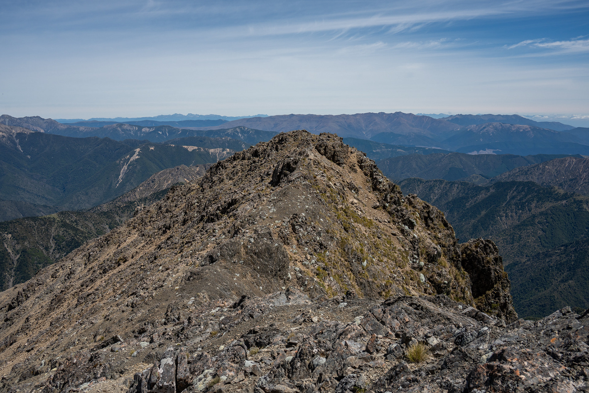
Beautiful pinnacled ridge as the day marches on.
A little bit of company as I prepare to drop into the bush.
The forested section of Boulder Stream, lovely travel.
Trip Notes
* Pinnacle is realistically on the cusp of the tramping / climbing divide, the High Pathways guidebook grading it a 2 on the Mount Cook Scale. Realistically, it's more technical than something like Tapuae-o-Uenuku (1+, another popular climb in the general area), plus has more elevation gain on its summit day and also presents greater risks around rockfall and exposure. Some of this is balanced out by the very short approach, with a lot of parties just driving a high-clearance 4WD to the hut whereas Tapuae-o-Uenuku has a half day approach up the Hodder Valley.
As a wider comparison, it's also more technical than peaks like Mt Cupola (1+) and Mt Taranaki (1-) and of the same difficulty as the easiest routes on Mt Aspiring and Mt Barth. That being said, the commitment factor is much less than those peaks. There is no glaciation to cross, no crevasse or avalanche risks (in summer) to mitigate, no full-day approach required just to get to the climbing base.
* There is significant rockfall risk at various points, so wearing a helmet if you have one is advised. The climb is probably easier in winter when consolidated snow infills the rock gullies, though it also introduces avalanche risk.
* The exposure on the summit ridge is moderate, there is at least one section where a half metre left would put you hundreds of metres down into Pinnacle Stream and a half metre right would see you tumble 50m or so back into the Boulder catchment. Fortunately the rock quality is mostly very good, and the climbing secure. If you do struggle with heights, taking the central gully on the NW face might be a better option as it hits the summit ridge south of the high point and has a much less exposed upper section. If you desperately wished to bag the peak with as little risk as possible, coming up Krushen Stream would limit the exposure to the half hour or so it takes to climb the slab and two gullies without any risk of falling into the Pinnacle catchment.
* Timing wise, be realistic with how long you allocate in light of your competencies. For fit parties moving well, it's very feasible in a day - it took me a bit under 9h for the 2 x bike rides and summit loop, but some parties have taken much much longer. One large combined party from local tramping clubs took 16h hut to hut, utilising the less exposed (central gully) route up and what would have appeared to be the more direct descent via the catchment immediately west of the summit. There is little shelter higher up, some sections of the feeder streams are gorged and the abundance of scrub and wilding pines means some travel is harder than the topography would suggest.
* Finally, the drive up Leatham Road is reasonably slow going. I took my stationwagon up past the '4WD only' sign to the Boulder / Leatham confluence, and paid for it with a flat tyre - the latter section has one stream ford and quite a bit of sharp rock. If you are planning on biking into the huts, it's probably worth just parking at the normal carpark and riding those last 3km which adds minimal time and might save you the tyre replacement at the end of the day.