In many ways, Mt Vernon is one of my home peaks. It's visible from the family home, readily accessible in half an hour from the carpark and offers a beautiful afternoon jaunt with plenty of views and minimal commitment.
Situated in the Wither Hills adjacent to Blenheim, Vernon doesn't even merit a name on the topo map. Rather, it is merely referenced as pt. 422 and adorned with trig A7QM. Still, the track up references its title and it's a popular destination. Like most people, I started from the carpark on Redwood Street.
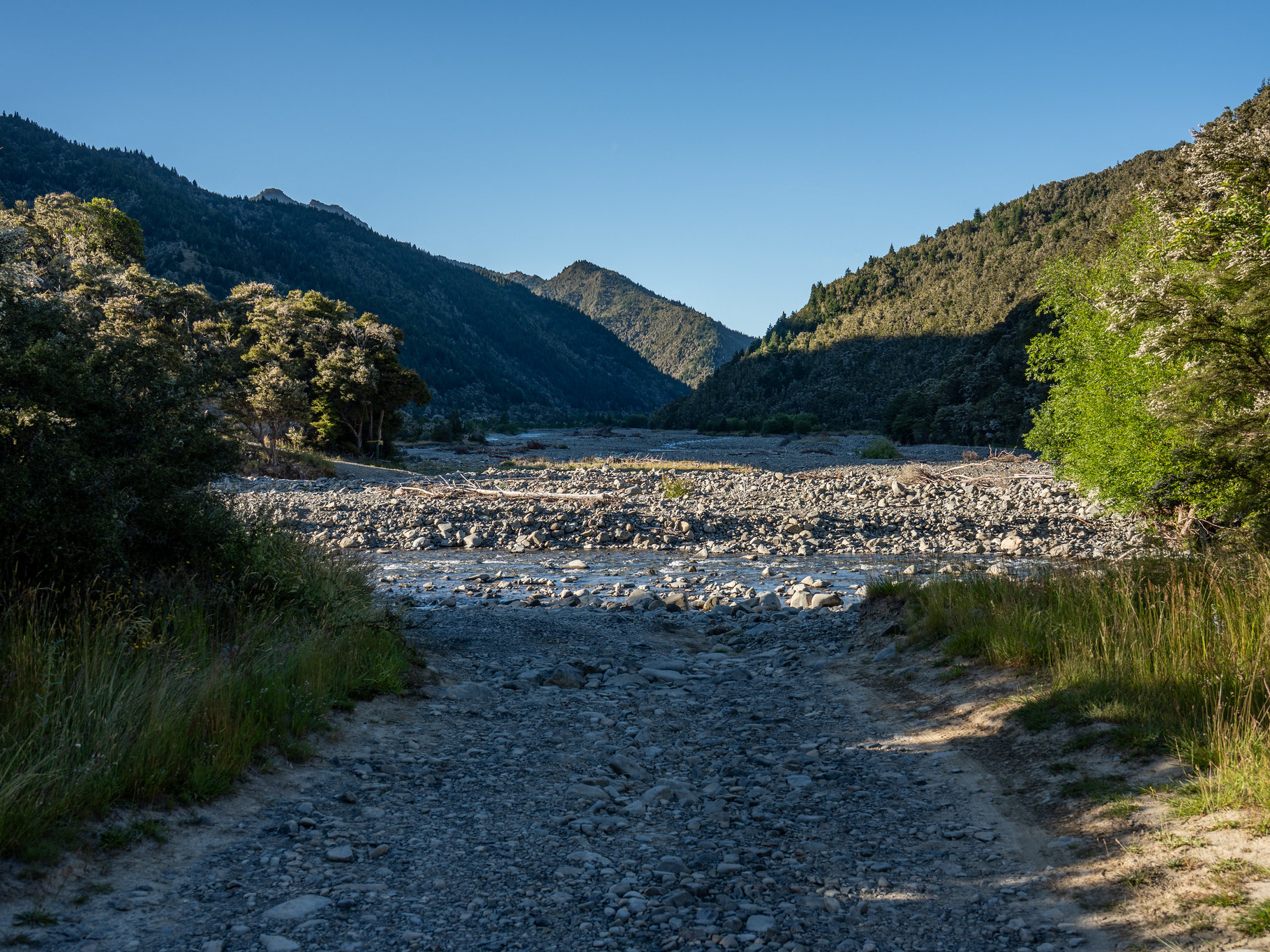
It was an inauspicious start, with the opening bridge washed away two weeks prior necessitating a minor jump over Southerland Stream.
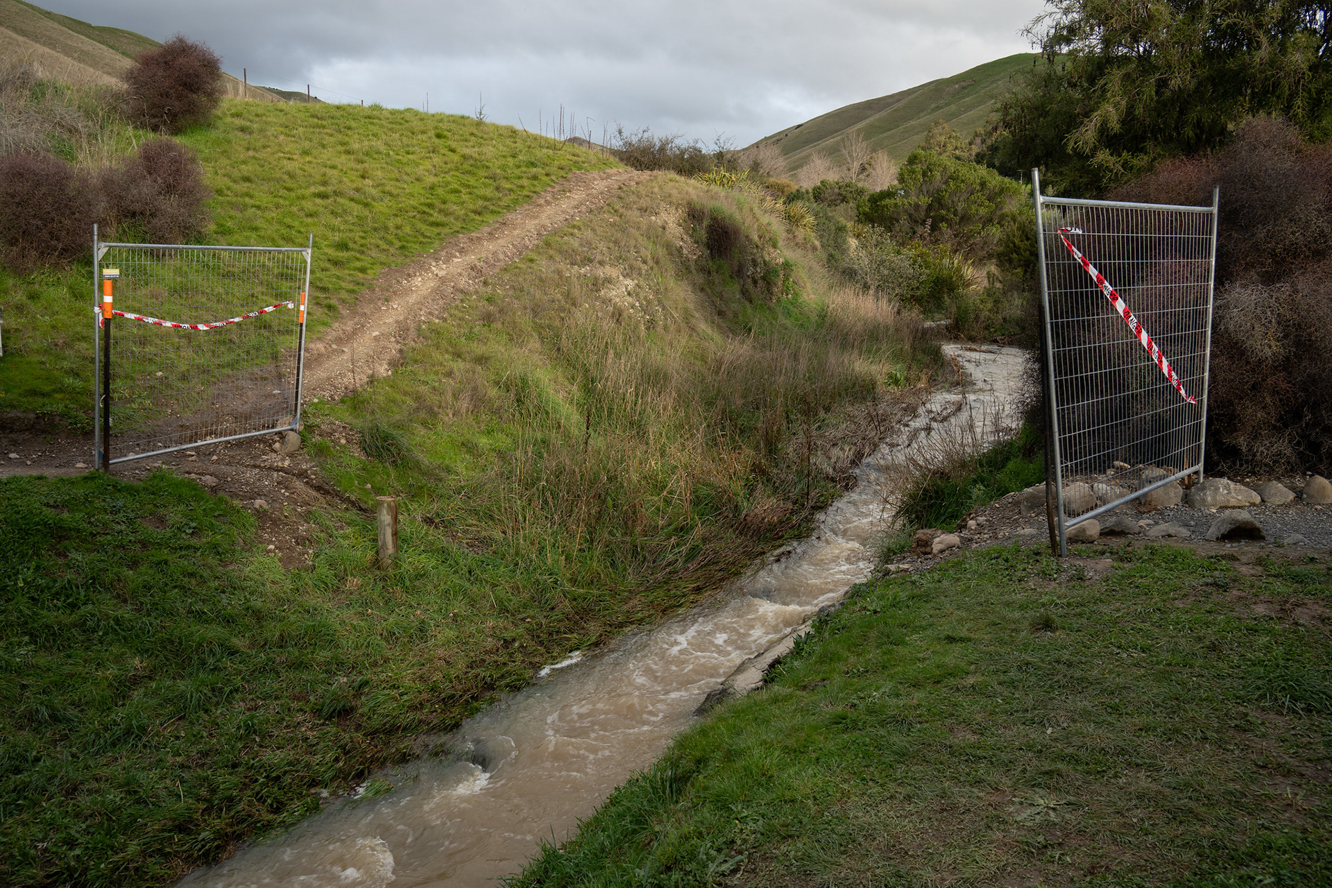
The remnants of the lower Southerland Stream bridge.
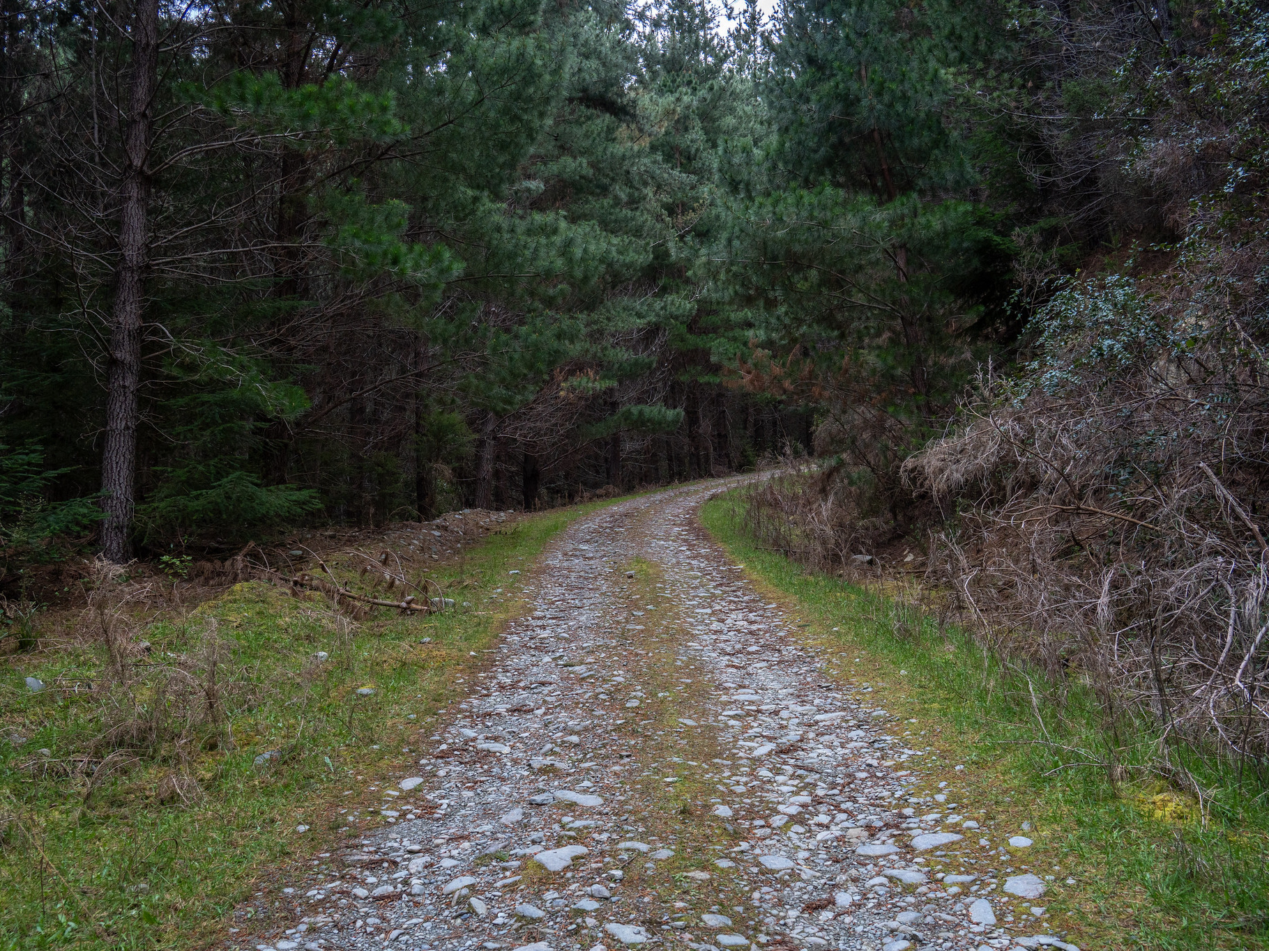
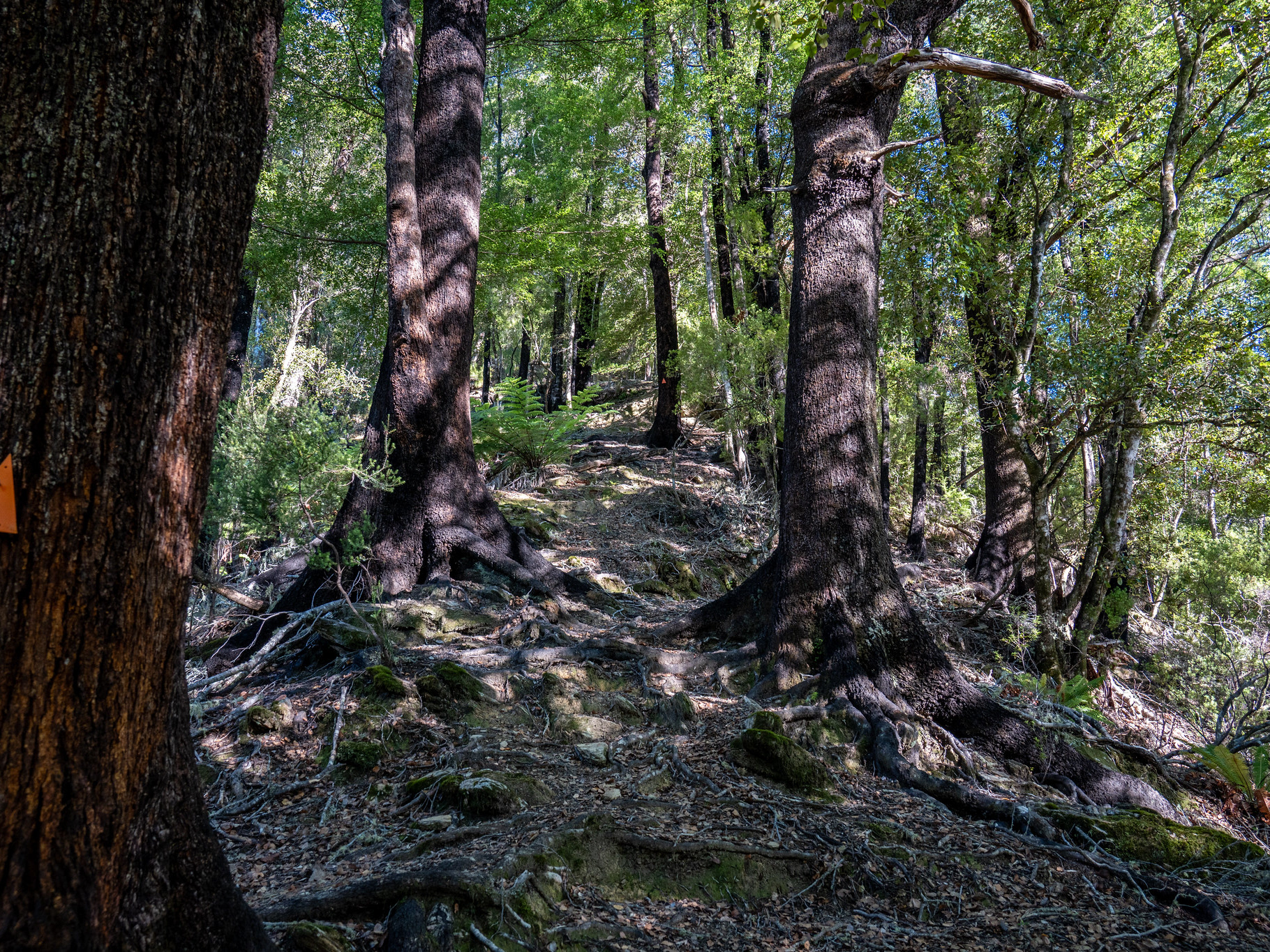
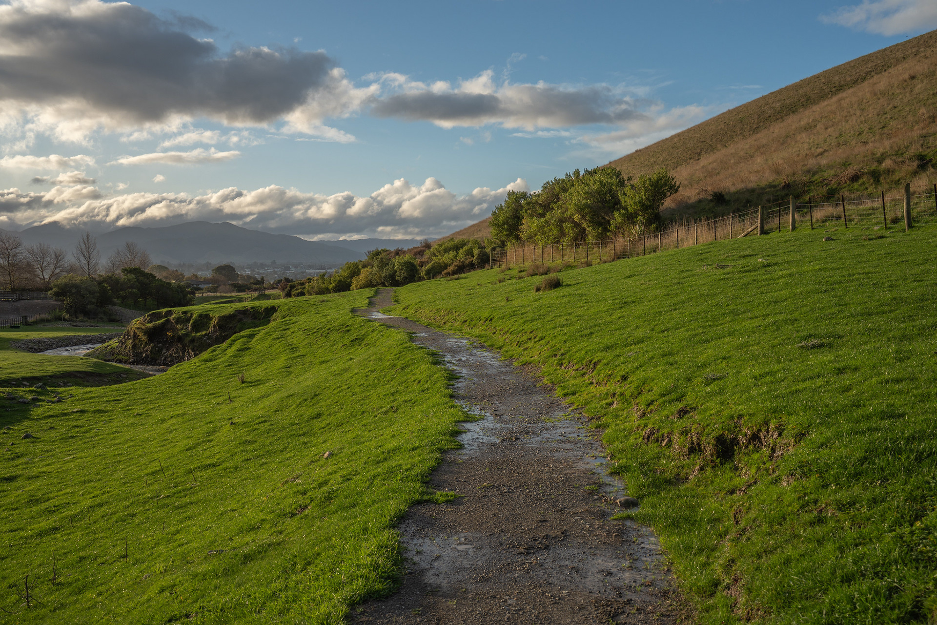
There's a short rising traverse to the toe of the long ridge that leads to Vernon, before a right hand turn sets you on the uphill. The very bottom section is quite a punchy start to an otherwise moderate climb, but it's very well formed. The biggest hazard is probably moutainbikers, who share the track.
The lower section of the Mt Vernon track.
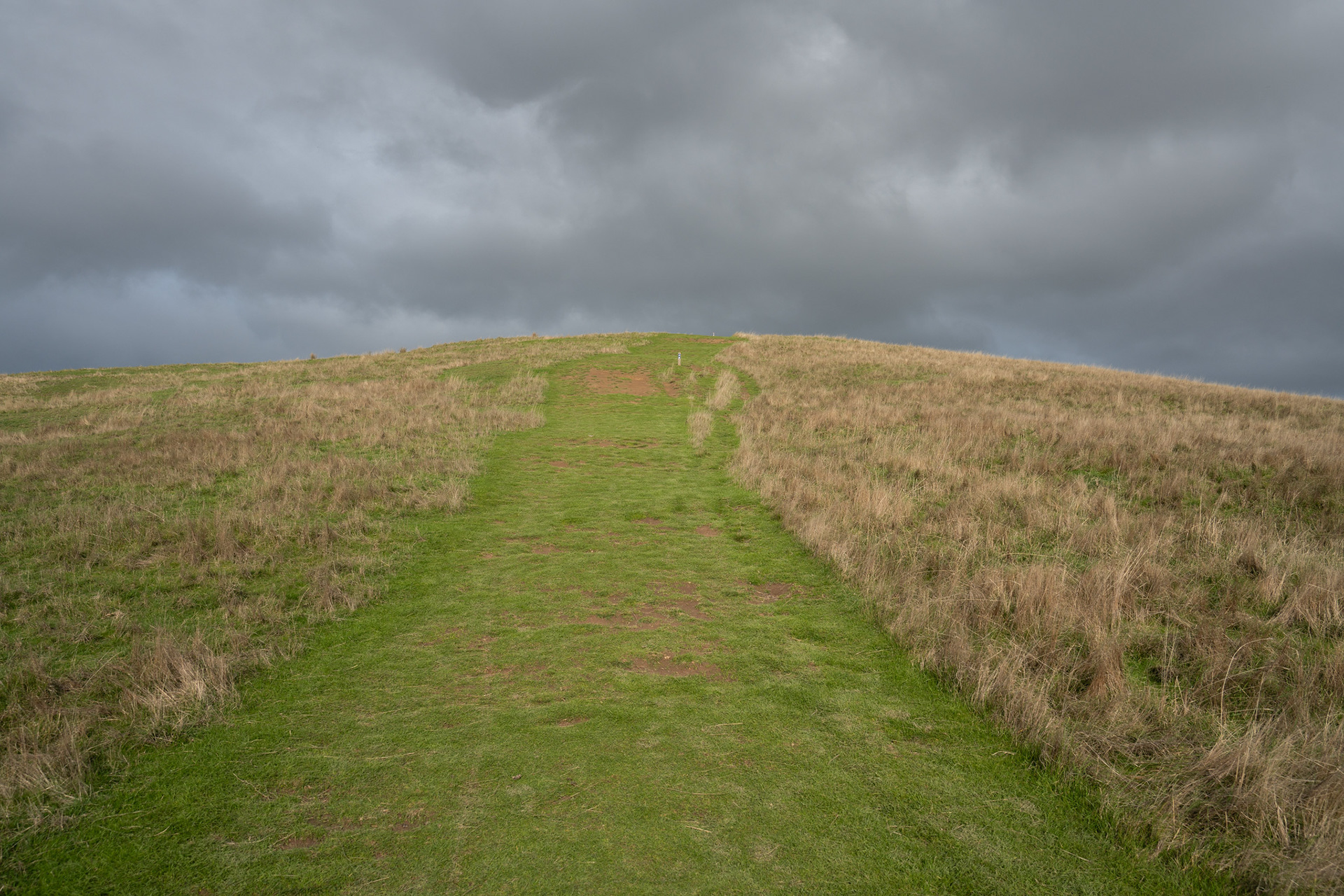
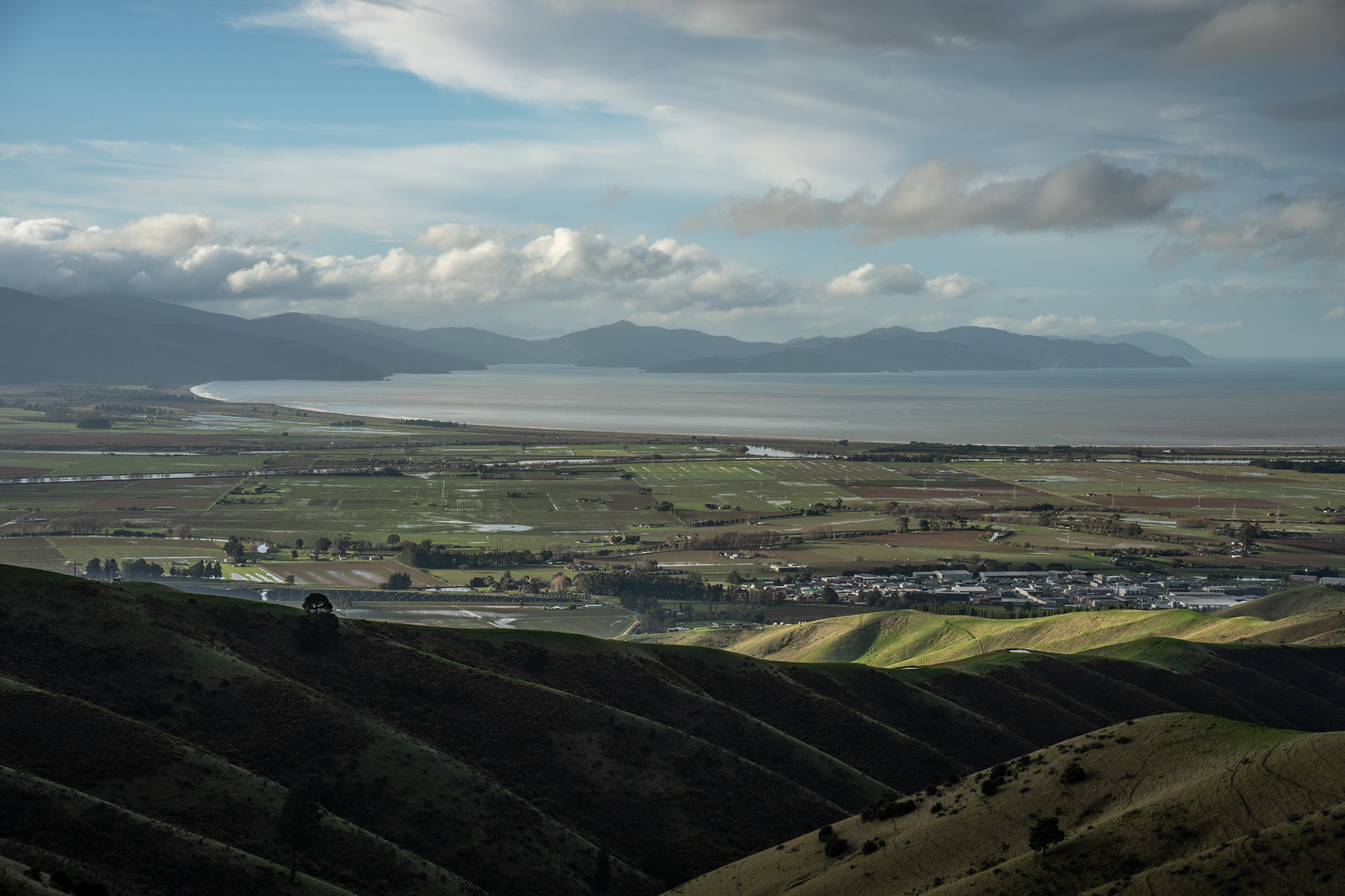
The track in winter tends to be well grassed and lush, though it readily dries out over summer. Navigation on the ascent is straightforward, provided you simply stay on the crest. There are often passing interests to keep the mind occupied - sheep, cattle and occasionally a passing plane from nearby Omaka. If nothing else, you can turn around and look back across the Blenheim township to the Richmond Range and Port Underwood.
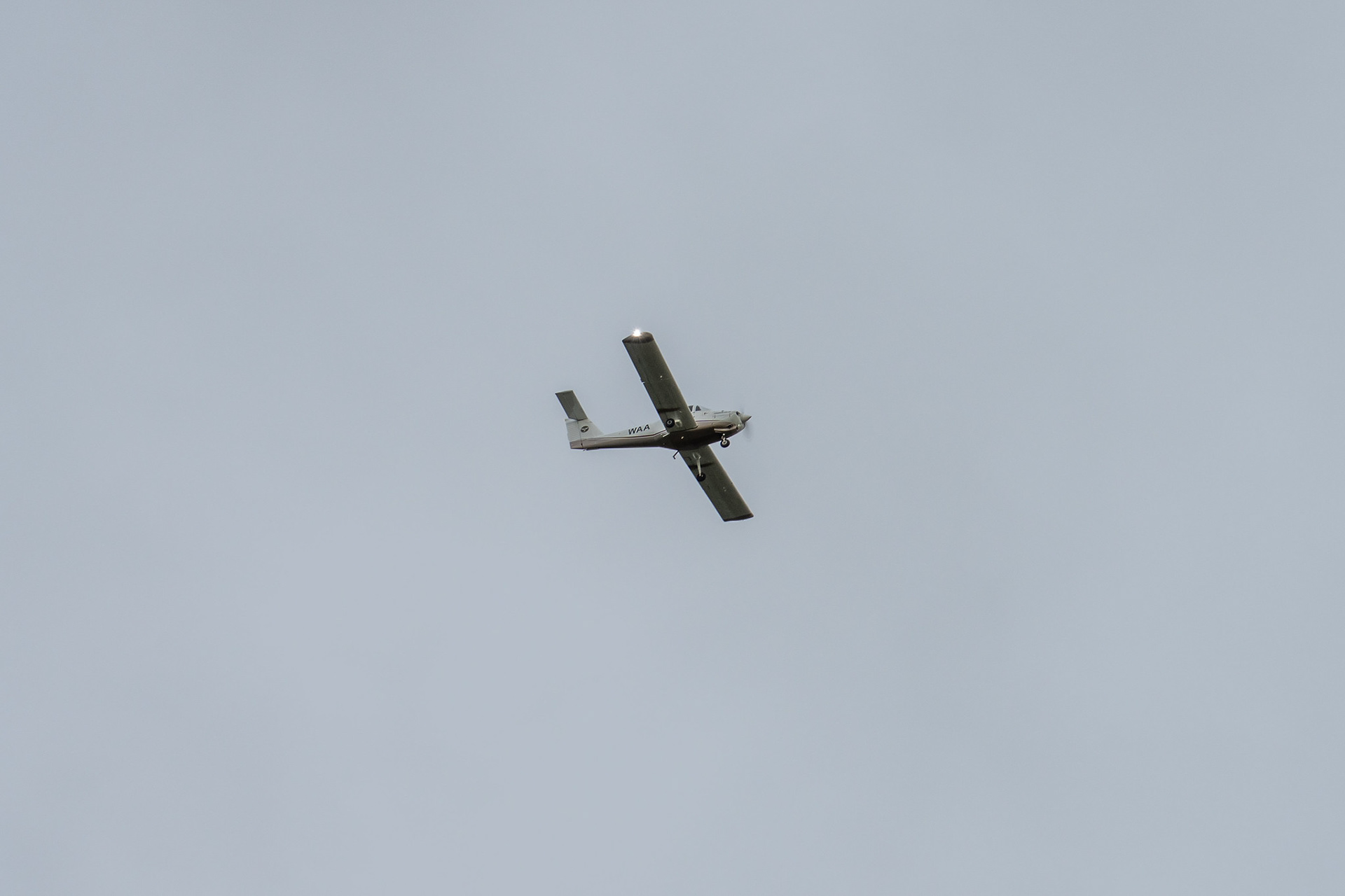
Omaka Aerodrome is nearby.
The Ned is a prominent peak, though it's on private land - the easiest way up is to join the Fairhall fundraiser 'Tramp the Ned' which runs every two years.
The view across to Cloudy Bay and Port Underwood.
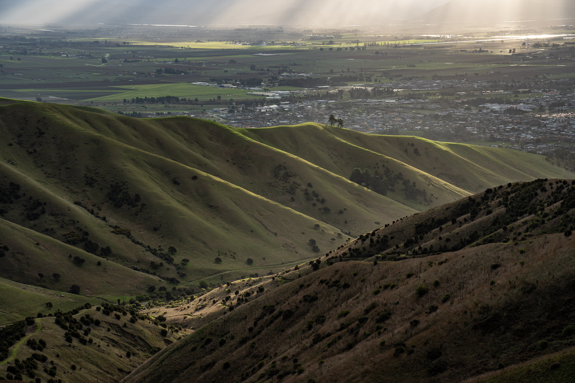
I've actually been up the peak a few times, though never on a bluebird day which apparently permits views out towards Manukau etc. (in the Seaward Kaikoura Range). Nevertheless, every trip is different - on this walk, there were beautiful sunbeams breaking through an otherwise stormy sky.
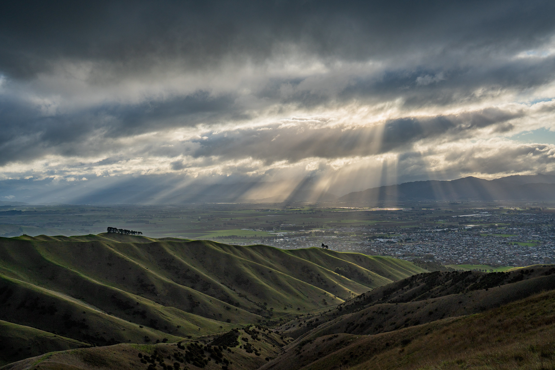
Sunbeams in the distance, the valley behind is the Kaituna along which SH6 runs.
The summit of Mt Vernon involves about 370m of climbing, and depending on fitness normally takes between half an hour and an hour each way. It's a beautiful vista up top, particularly for those with affiliations to the region. The main bodies visible are the Richmond Range, the pastoral hills across to Wards Peak, the Leatham peaks (Bounds / Pinnacle) with some views across to the Kaikouras (apparently!). The south coast of the North Island is also readily visible.
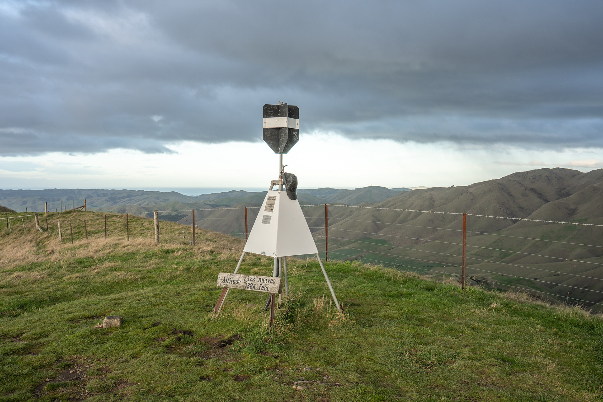
The summit trig on Mt Vernon.
It's possible to simply descend the same way, which can be very scenic on the margins of daylight. Alternatively, tracks drop into Southerland Stream which allow a bit more diversity on a semi-loop track.
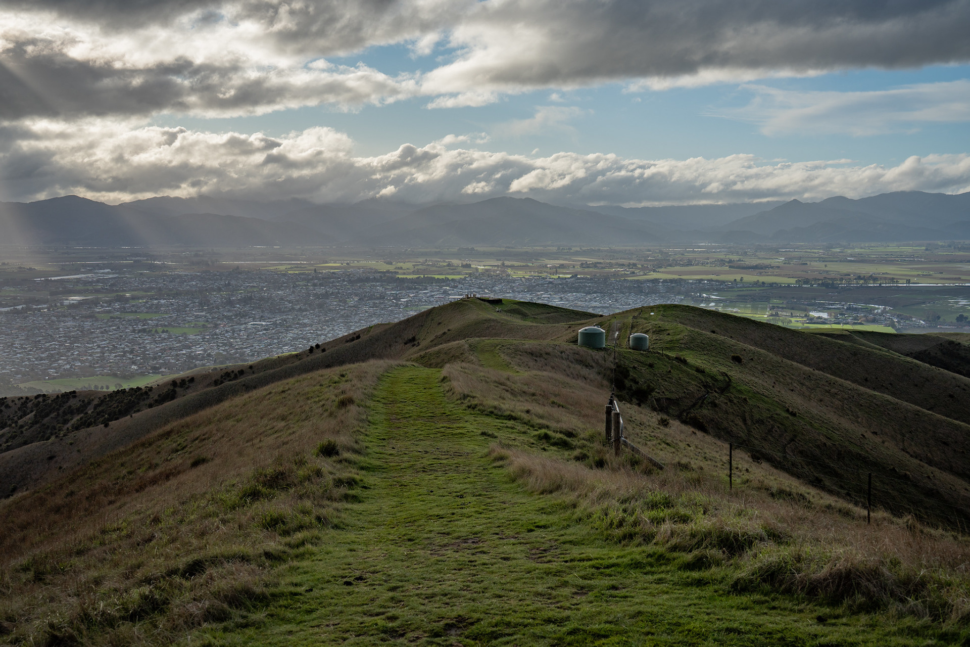
Descending off the summit of Mt Vernon.
The ridges have beautiful diffuse side-spurs, accentuated by their cleared nature.
If coming back via Southerland Stream, you will need to cross the stream on the final section of the walk which is normally straightforward.
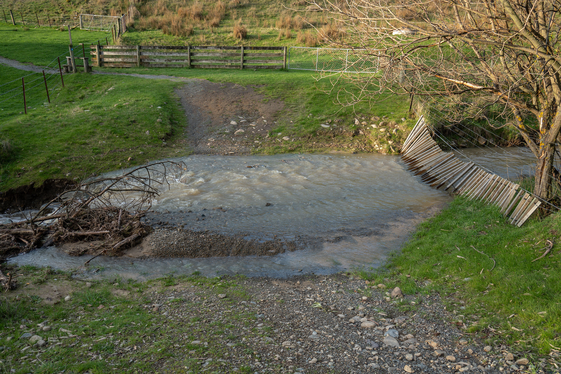
The unbridged crossing of Southerland Stream.
As of July 2025, the second Southerland bridge had also been washed out a long time prior - as such, there is one more crossing that must be made to regain the carpark. A small price to pay for such a scenic walk that takes scarcely an hour return.
A serene final few minutes in the evening light.