Mt Cawte is not a well advertised climb - it's not on the DOC website and few people seem to visit. Nevertheless, it's a nice way to stretch out the legs for a few hours if passing nearby with a couple of nice viewpoints en route. Note that the summit of Cawte itself is nondescript and forested, and would not be obvious were it not for the small amount of human architecture there.
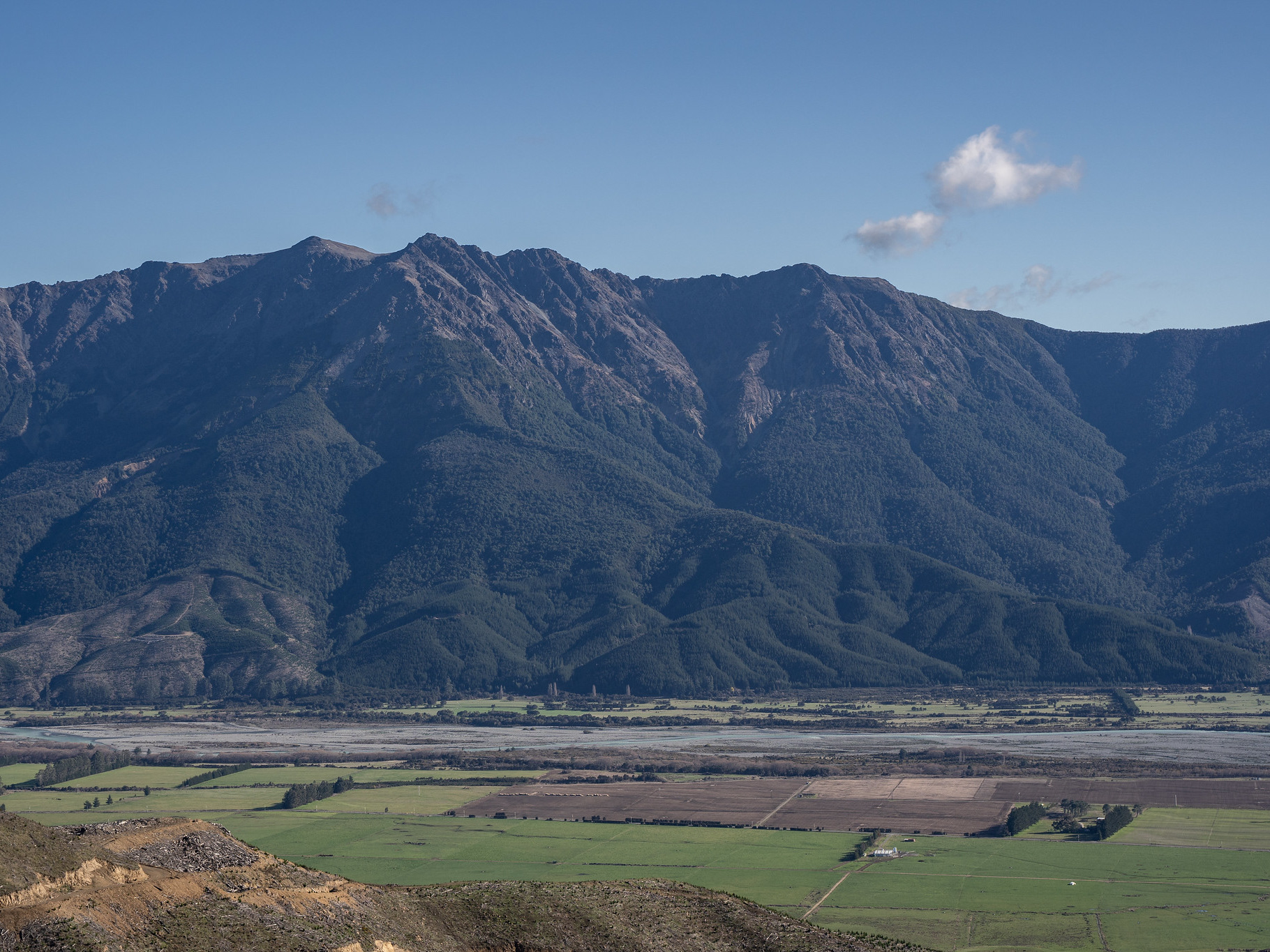
Mt Cawte is located above Moetapu Bay in the Marlborough Sounds. It's quite a slow drive out at the moment, the roads into the Kenepuru were badly damaged in the 2022 storms which have left a lot of roadworks. Moetapu Bay Road is a mixture of 30 and 40kph sections and narrow, so expect it to take over half an hour from Havelock to reach the track start. The start itself isn't signposted (in fact, one would not even know it's a named peak without a map) - however, there is a parking bay provided you start at the eastern terminus. It's probably better to do the loop clockwise, simply to save the ~8km (return) of extra driving required when starting from the west.
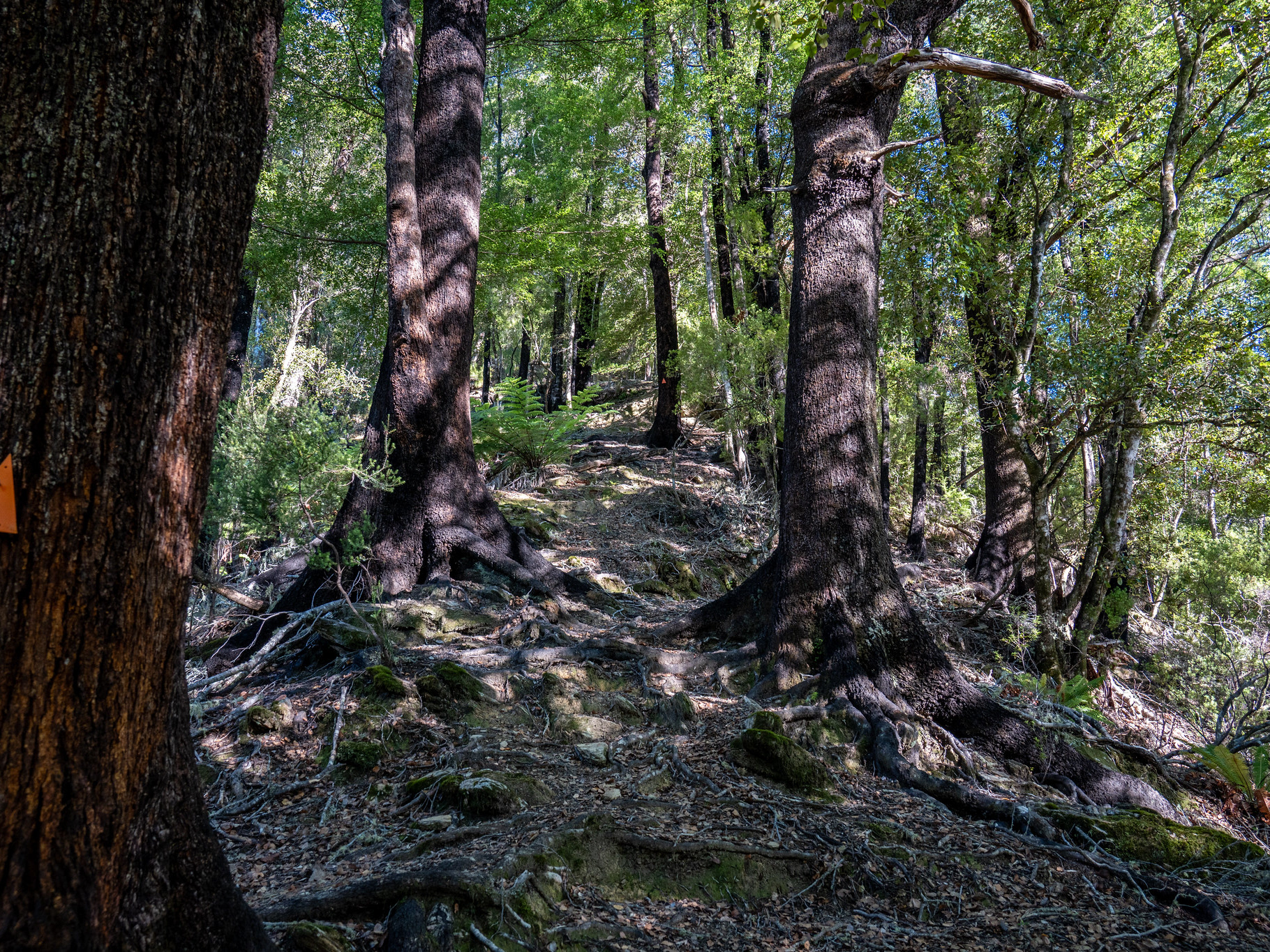
Despite the absence of signage, the track start is obvious with a ramp up through the road cutting which takes you to an old road. It's important to note that the summit track swings right shortly after the start, there is a signpost referencing camping but it doesn't actually lay out that it's the summit route. There is a pronounced change from old road to well formed tramping track.
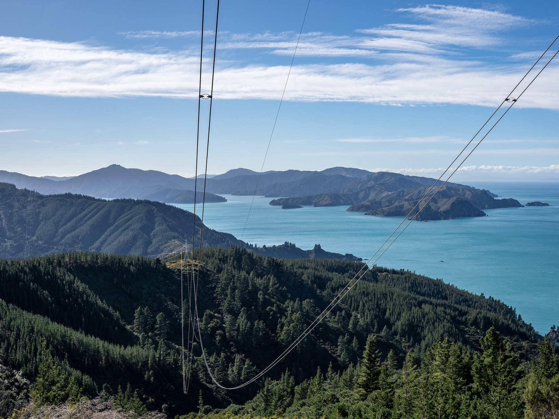
The route climbs moderately for about 300m of elevation gain. It's well cleared, the Marlborough Tramping Club did some trimming in 2024 (thanks!). Passing over pt. 426 is not obvious, before the traverse across the very flat summit ridge commences. There is a distinct lack of marking and some false trails, but provided you stay close to the crest the navigation should present few difficulties. About halfway across to the true summit, there's a rock clearing which offers the best view of the entire walk.
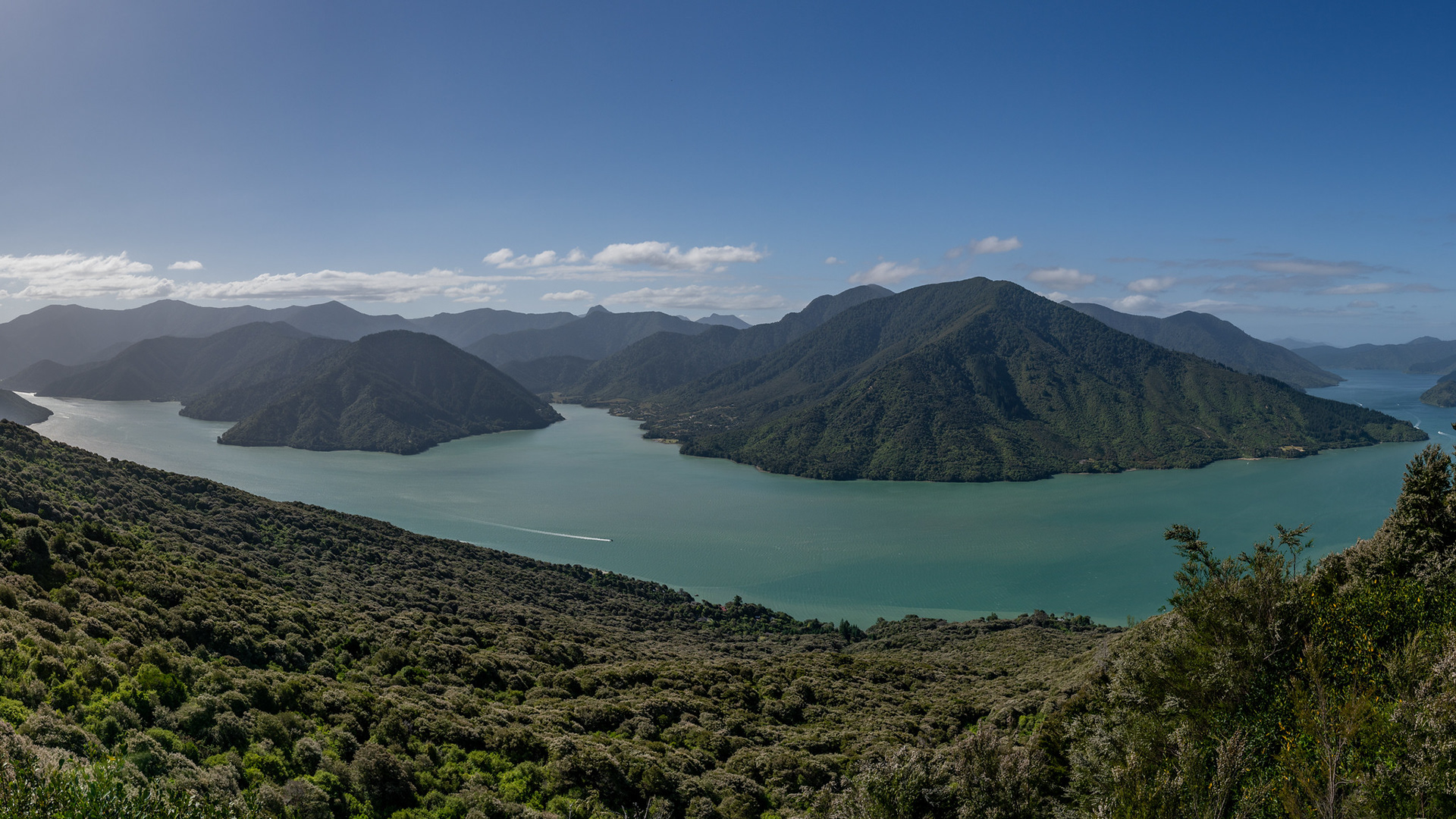
The view into Pelorus Sound from the summit ridge of Mt Cawte, the inlet centre left is Kaiuma Bay.
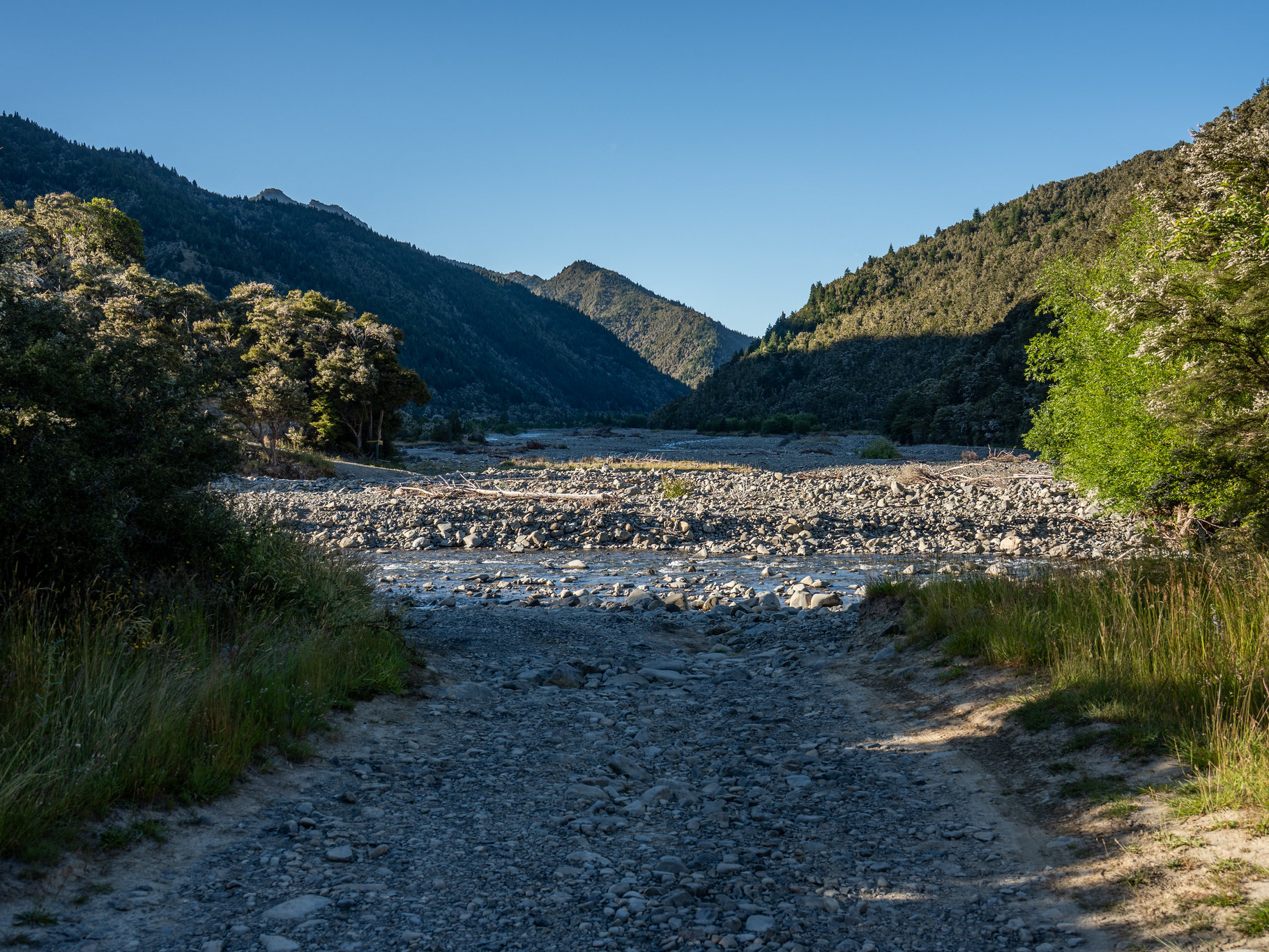
Continuing along the ridge soon brings you to the true summit of the peak, though there is little beyond a logbook to mark it. The high point is not pronounced and there are no views beyond the adjacent forest, so it's one to simply tick off before dropping NW back towards the road. There are sporadic views off the descent spur across to Cullen Point and the lower Pelorus River.
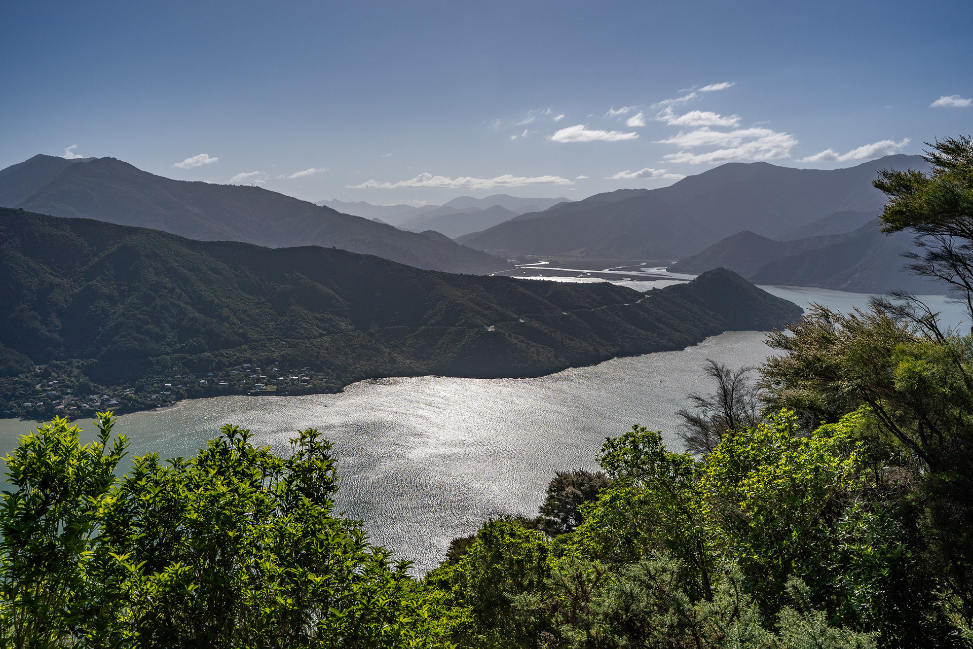
Cullen Point and the lower Pelorus River.
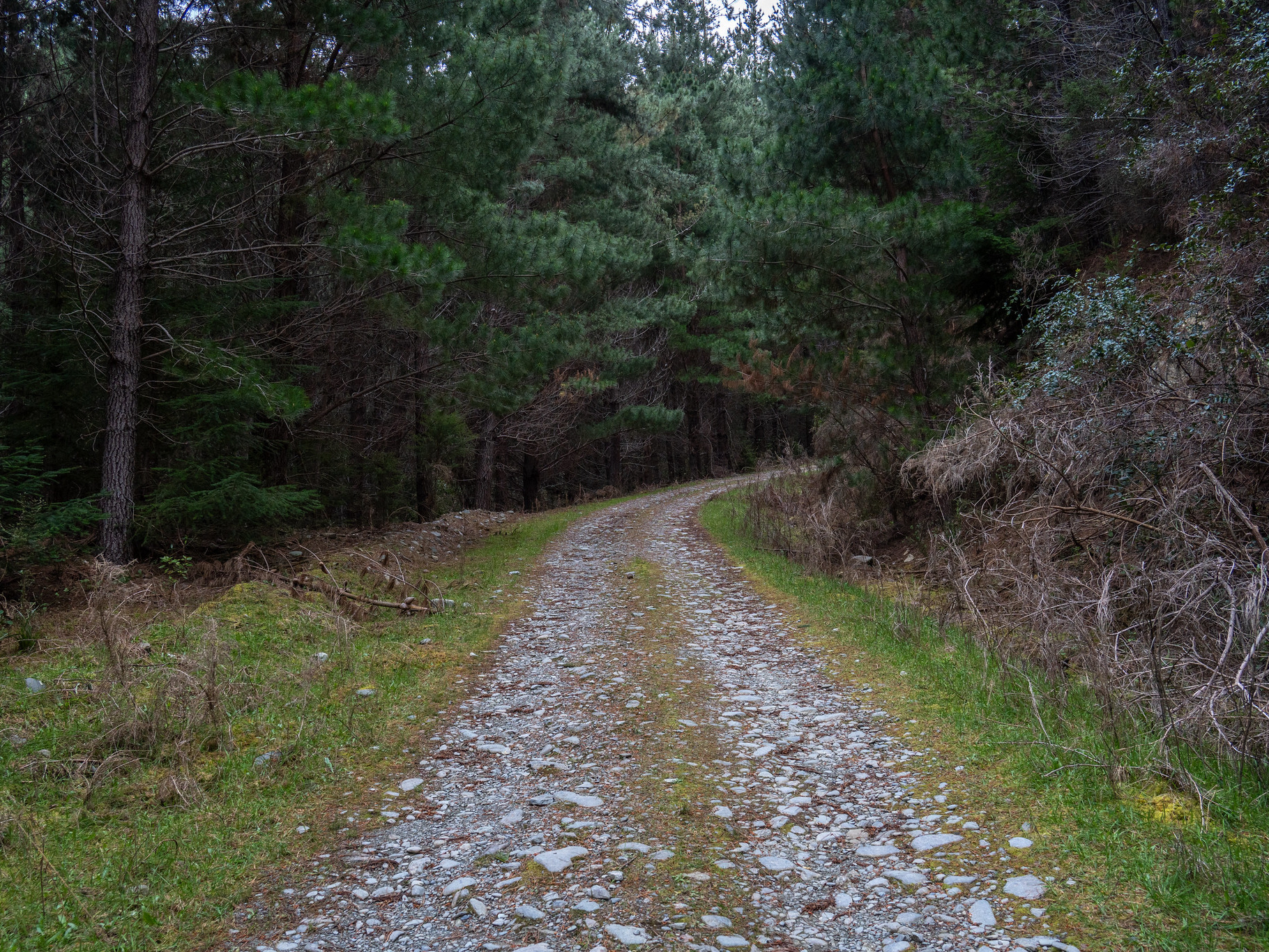
The spur is quite overgrown for the most part. It was apparently cleared by a volunteer group (Outward Bound) around 2010, but it appears it has been neglected for a while. It's still easily followable, albeit with lots of low vegetation to push through.
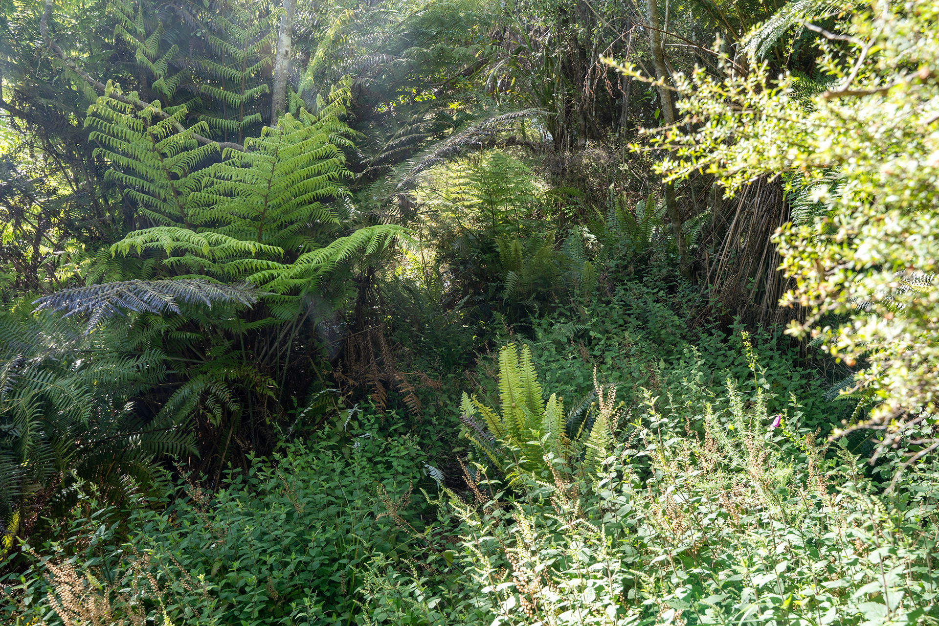
Typical regrowth on the descent off Mt Cawte, still very followable but would benefit from a trim at some point.
The descent expires quickly, depositing you back on Moetapu Bay Road. All that is left is the 4km road walk back to the car, or if you're really lucky a thumb out might get you back quicker. The road doesn't see massive patronage, and it's actually quite a nice one to walk. Plenty of twists and turns to keep you on your toes, and foresting abutting the roadway.
Loop time varies, I covered it in 1:10 (well, technically 1:20 including the extra 500m each way on the old road, whoops!) but I jogged some of the road and as always - times will vary. I would suggest allowing 2h for fitter parties, and 3 - 4h for those of moderate speed.
Is it the most scenic walk you'll ever do? Probably not. Is it worthwhile? Sure, if you're passing by.