Tongariro is an old stomping ground of mine. It has many memories - the Tongariro Alpine Crossing with Mum and Dad, the annual pilgrimage through the Northern Circuit in winter with Flo, many trips up to the high 2700m summit peaks of Ruapehu itself.

Living in Palmerston North, it now presents the closest alpine terrain. The access off the Desert Road is about 2:10 from home, which made it a viable petrol cost for an overnight walk. I'd been in here once before with Tracey, making the 6km trip into Waihohonu Hut. Despite the -3C temperatures and everpresent darkness, it was an easy journey out to the track start after work on Friday.

Parking up, there were four or five other vehicles in the carpark. I hadn't brought a tent, Waihohonu Hut isn't bookable during the off season but it sleeps 28 and has a massive communal area if it came to that. I'd been a bit wary of what the walk would be like in the depths of the night, but the track is wide and benched and presented no issues with encroachment or fear.

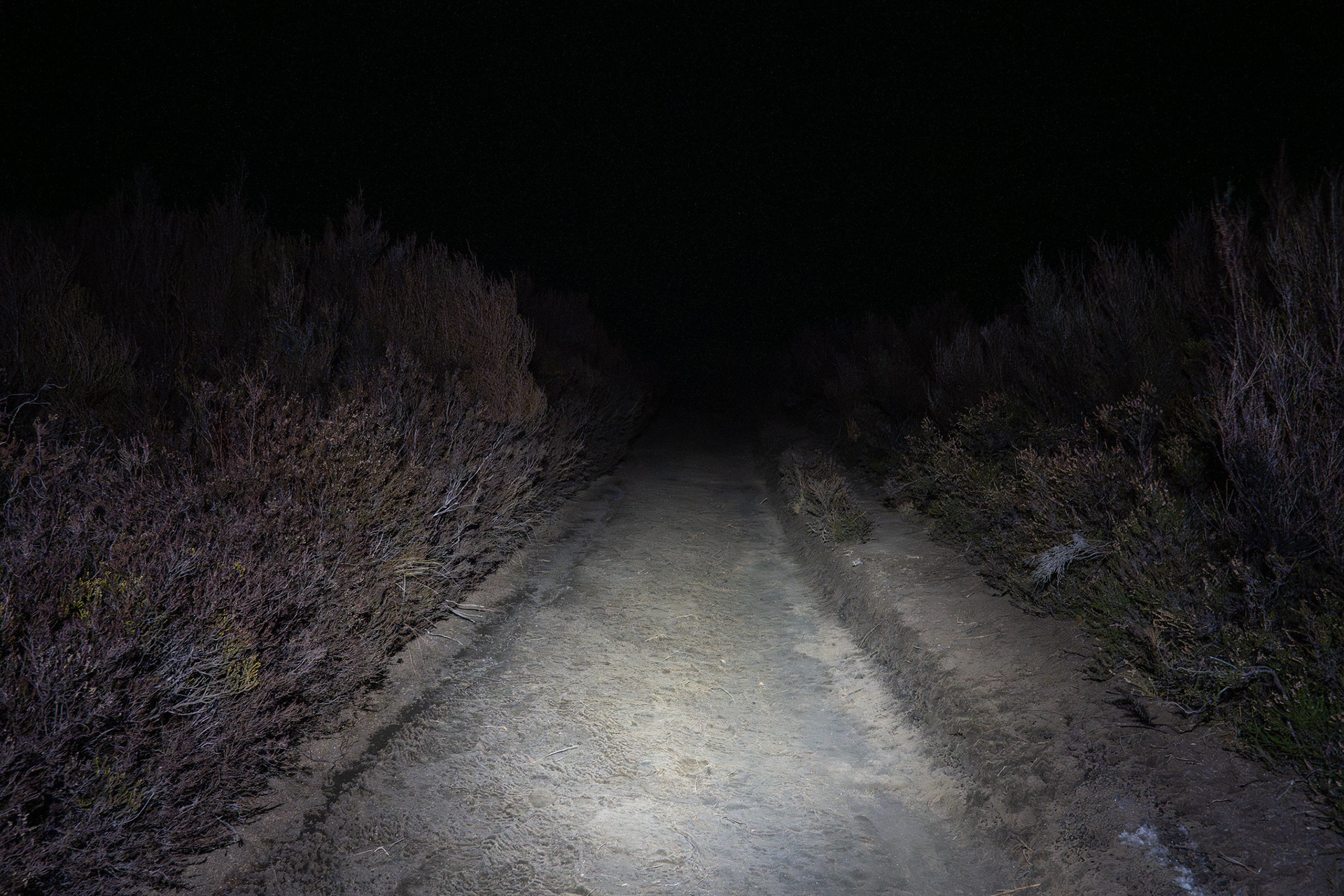
The walk into Waihohonu Hut by torchlight.

The track doesn't actually start in Tongariro National Park, but rather one of the private land blocks. In fact, it's only really the last kilometre or two before you enter the public land. Regardless, the demarcation is really just a sign by the track. The walk is mostly in open tussock, reflective of the barren desert atmosphere that arises from the volcanic soils and rain shadows. There are a few smatterings of forest and one bridge crossing, though it largely all looked the same in the darkness. A lot of the route is heavily rutted and incised, but the mud was held together by goodwill and hard frost which made for a quick journey. Just under an hour after setting out, I was at the hut.

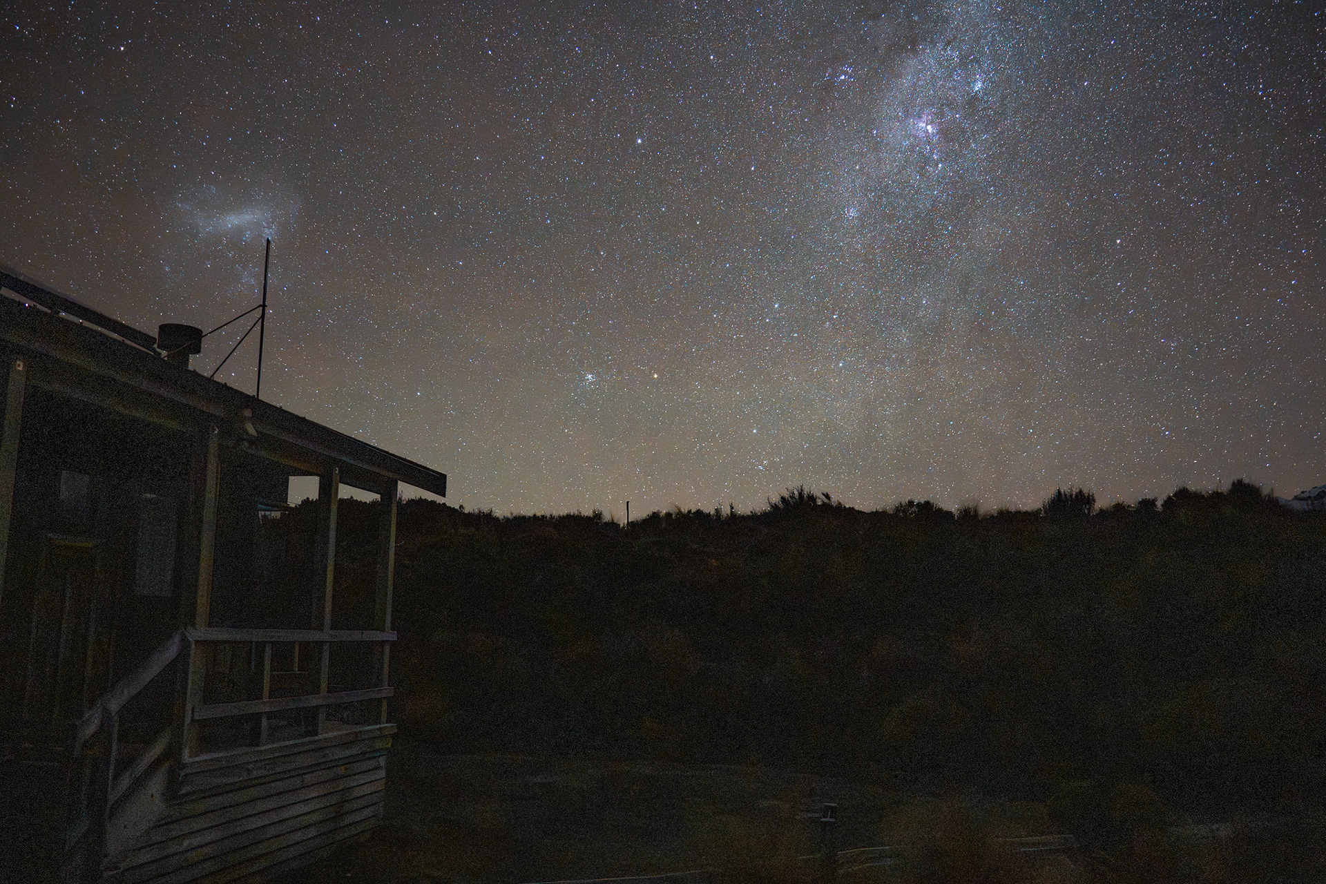
Admiring the stars outside Waihohonu Hut.

I could see boots in the foyer, but everyone else was already asleep upon my arrival. Both bunkrooms had some degree of occupancy, so I pinched one of the mattresses from the northern bunkroom and took it out to the communal area. There was time to sign the hut book, have a quick perusal of the hut having not seen it for a few years and then settle into bed.
I'm not actually sure if I awoke to my alarm or the sound of others up and about. There were three hunters across two groups who rose early, apparently deer numbers are quite high in the area - one mentioned that he always comes back with venison after forays into the area. I had a quick breakfast, packed and headed out the door around 6:45am. 

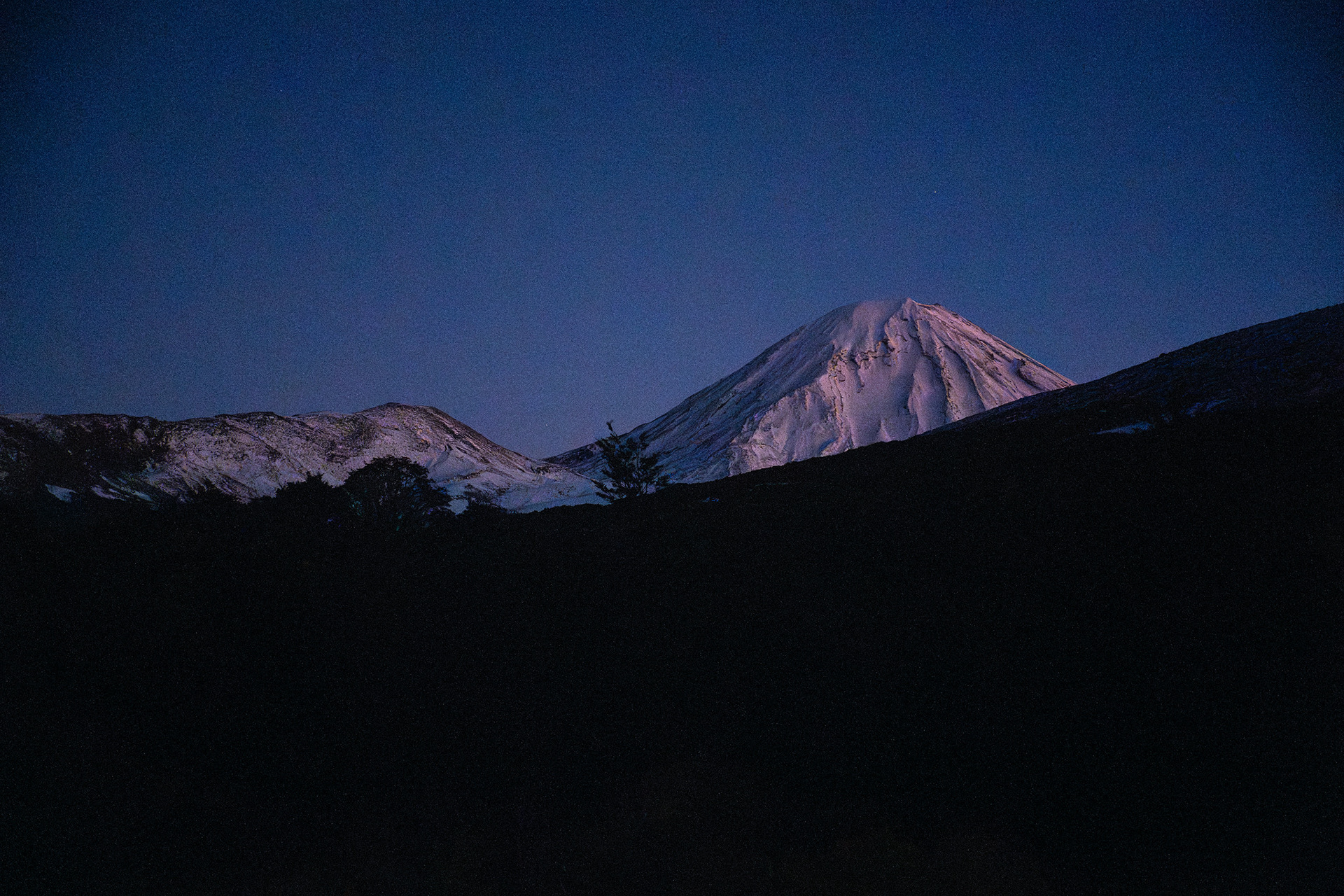
A dark view out to Tama (left) and Ngauruhoe (right).

I was aiming for the south face of Ngauruhoe. I've been up the peak previously, around a decade ago in summer as a side trip off the Tongariro Alpine Crossing. The southern aspect is of a similar nature, but with more blocky lava flows and no ground trail.
The initial approach heads along the Northern Circuit for a bit, climbing almost 200m up a switchbacked path and onto the eastern ridge of a peak called Tama. At the ridge crest, I met two of the hunters from the hut. They were lovely, but it was clear my presence was not ideal for their plans to hunt the upcoming sunrise. We made a compromise of sorts - I allowed one to glass the adjacent Oturere Valley for an initial check of the scrub margins, and then sidled under the crest for the first kilometre or so to avoid spooking animals in the remnant forest. I did get the joy of a beautiful sunrise over the Kaimanawas, and a brief period of alpenglow on Ruapehu.

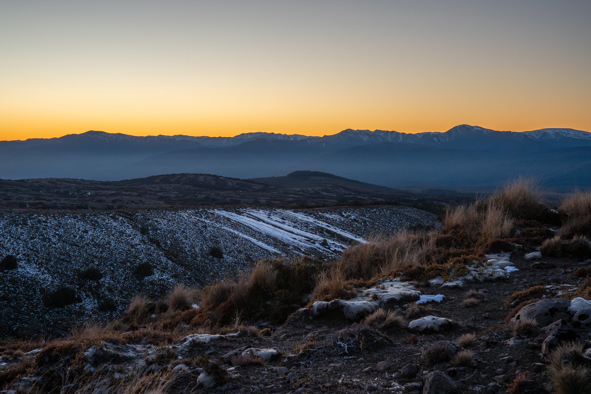
The early indications of sunrise, with the Kaimanawas background right.

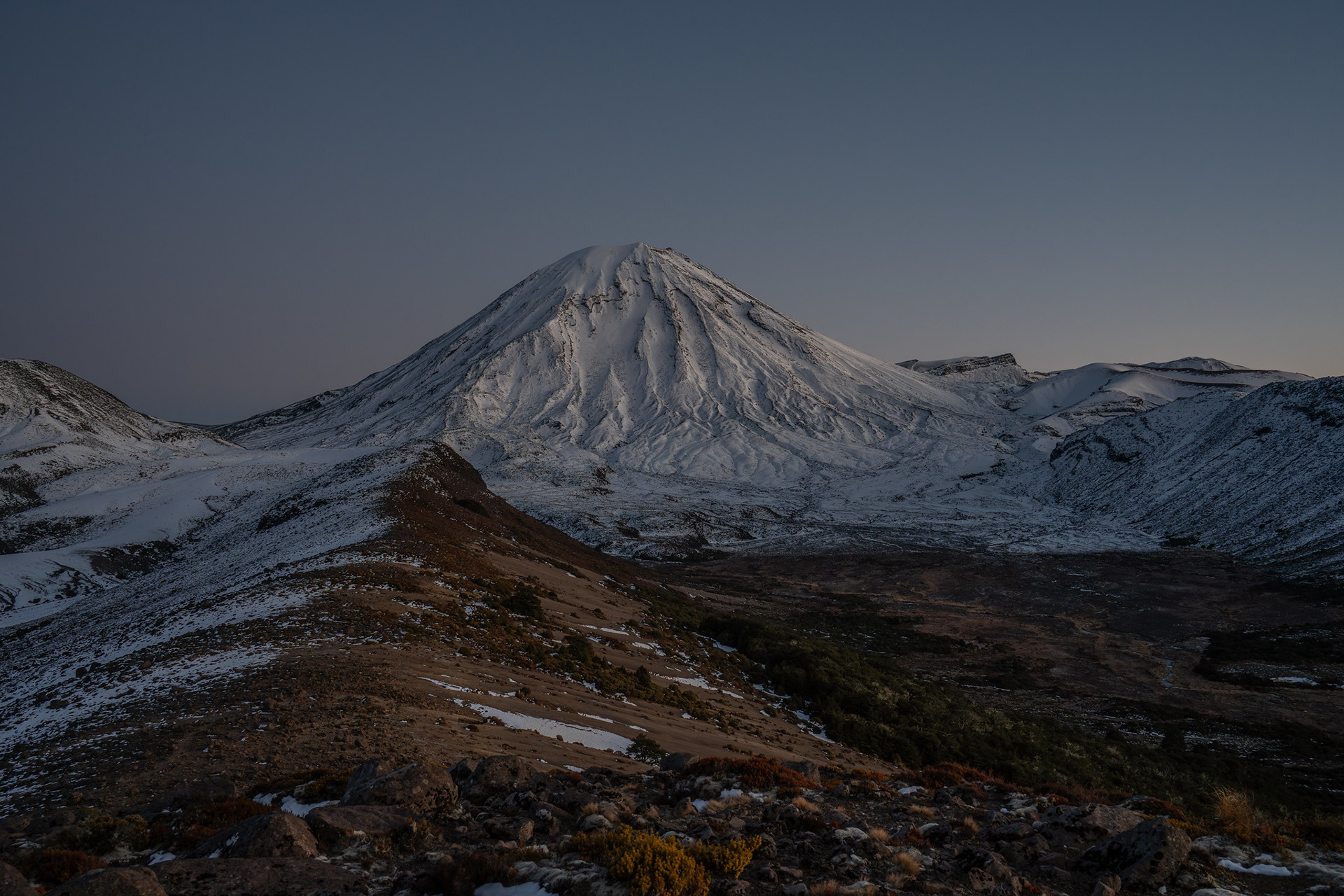
Looking up to the SW face of Ngauruhoe, with the Oturere Valley in the foreground. The dividing ridge on the centre left leads up to Tama.

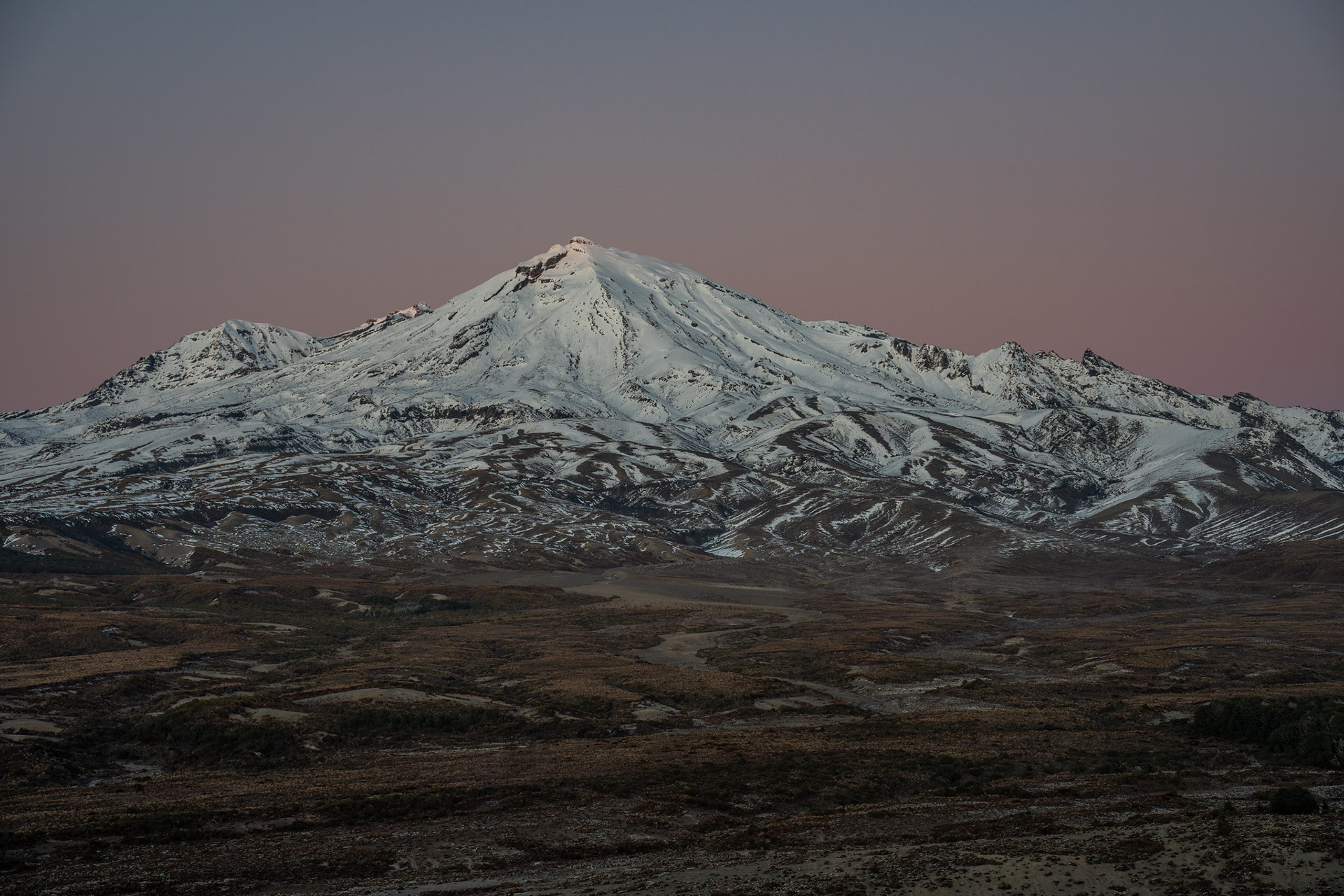
The beautiful alpenglow on Ruapehu, looking up Waihohonu Ridge. The prominent peak in the centre is Te Heuheu, a little lower than the true summit Tahurangi (behind).

Popping back up on Tama's SW ridge, the crest is easily followed despite the high cliffs to the north. There are grand views of Ngauruhoe from here, with the coherent volcanic flows petering out to hummocky runs on the valley floor. Between the viewpoint and the peak lies a sharp gut to break the otherwise gentle contours. 

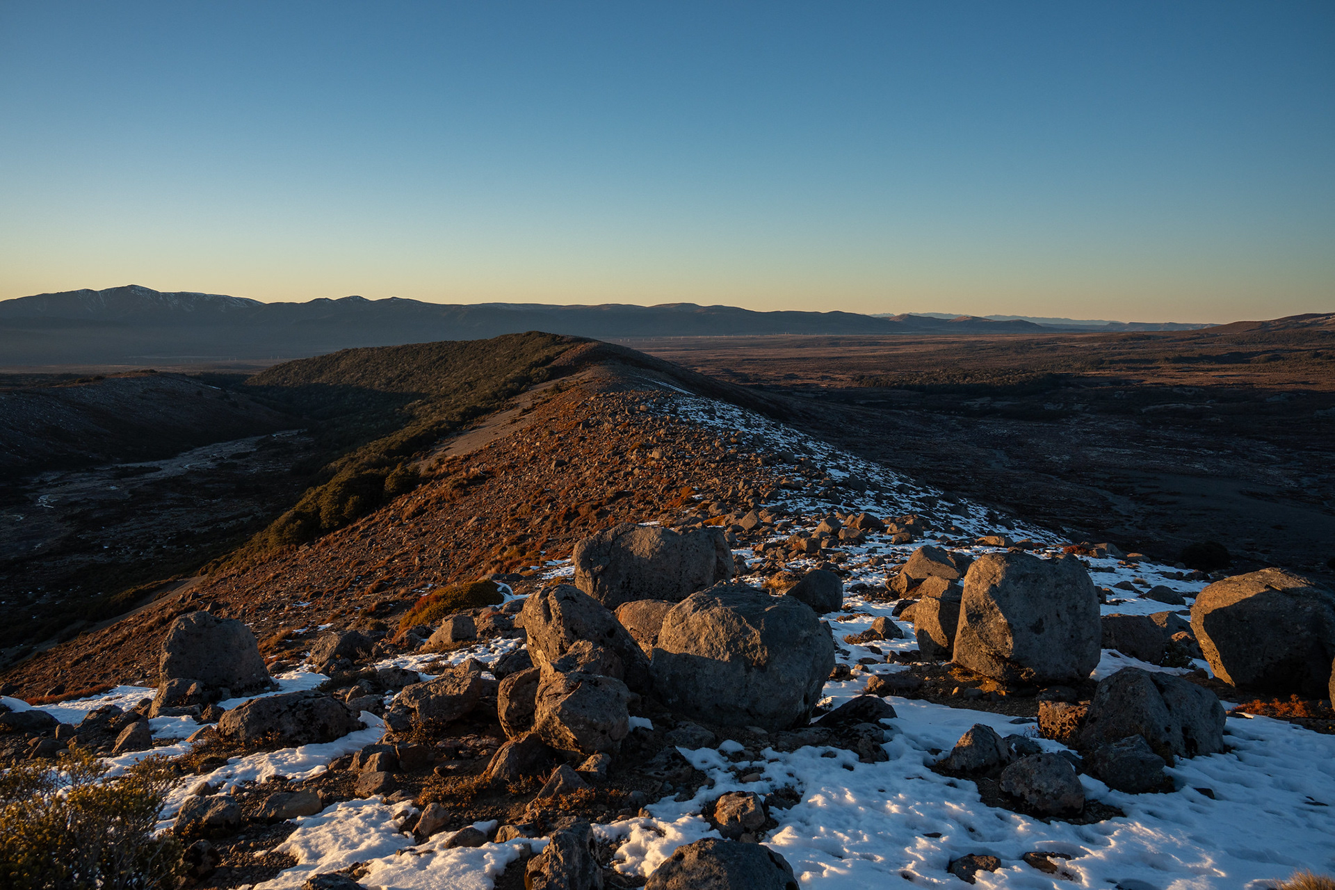
Looking back down the SW ridge of Tama, the Northern Circuit crosses near the bushline.

The SW flanks of Ngauruhoe, the true summit is the minor bump on the right.

Dropping off the ridge at 1390m seems reasonable, and it offers a straightforward descent to the gut with a steeper climb out the other side. This is probably straightforward in summer, but in winter requires some punchy kicks into steep terrain.
Beyond the gut, I swung to the middle lava toe in the picture above. It looked to offer a quick route onto a defined spur, which was appealing given the unconsolidated snow in the basin. It was of limited success, the snowpack remained soft and it was laborious alternating between knee deep snow and hitting shallow volcanic blocks. It was also quite hummocky, more ups and downs than one would prefer.
I made it to 1600m, hitting the shoulder where the spurs converge before retreating. It was hard going, the first overnight walking I'd done in almost a year and I still had to regain my vehicle by the end of the day. It was an easy decision to bail from a peak I've summited previously, with 700m of elevation still to gain and 20km further to traverse home via the Tama Lakes.

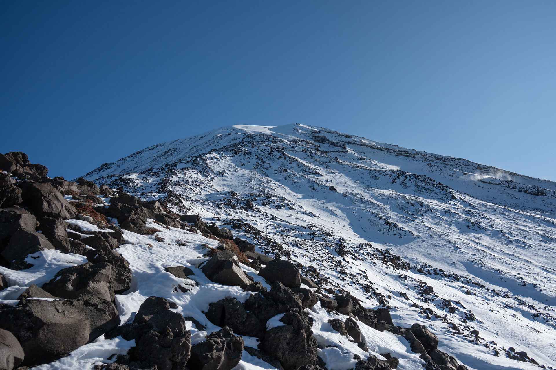
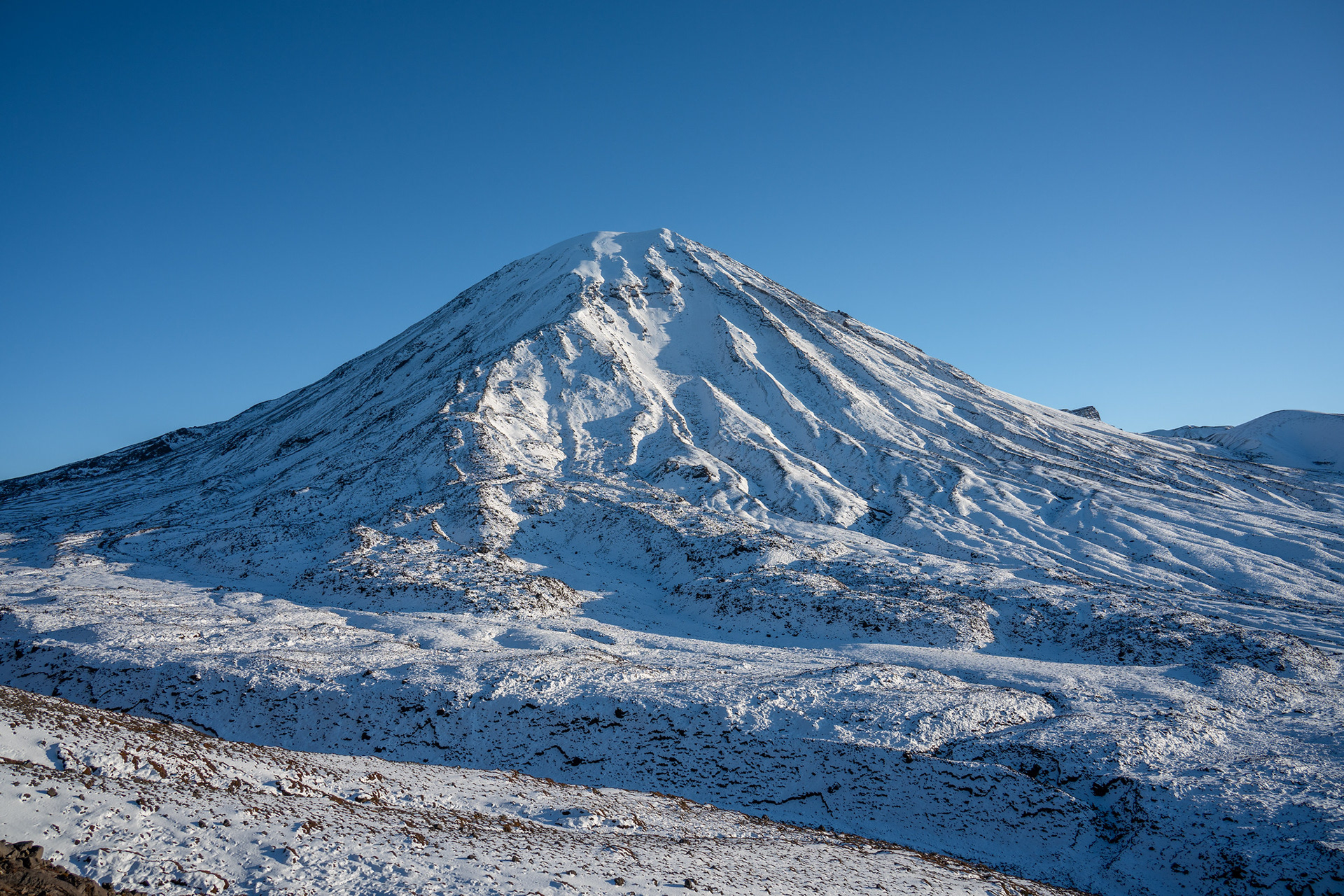
The upper section of the SW face of Ngauruhoe.

Bailing directly down the south face was not trivial, being so deep and slushy yet interspersed with bouldery blocks. As I dropped down, the clouds began to mass over the summit of Ngauruhoe which further validated my decision to descend.

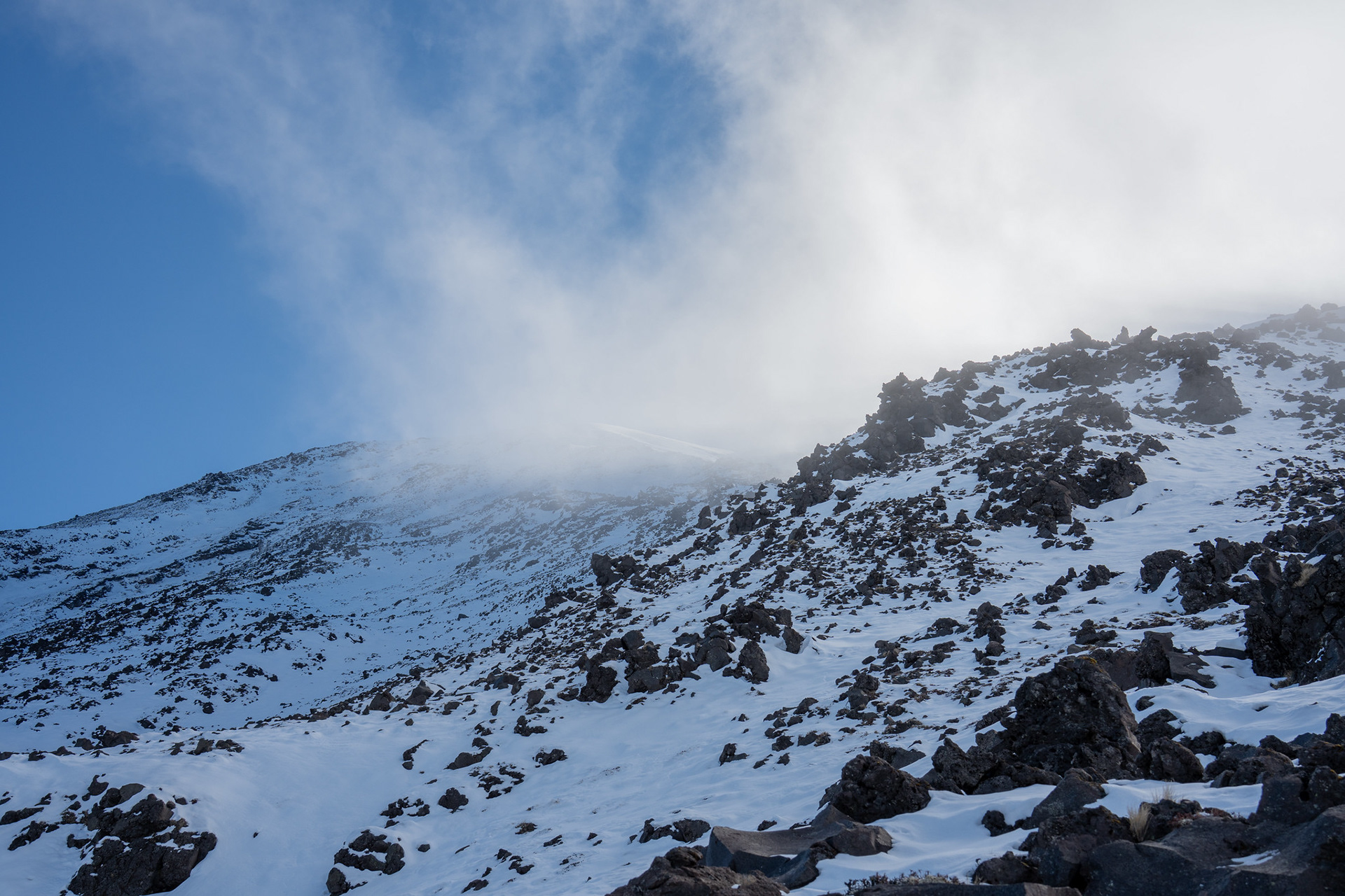
Looking back up the southern face of Ngauruhoe.
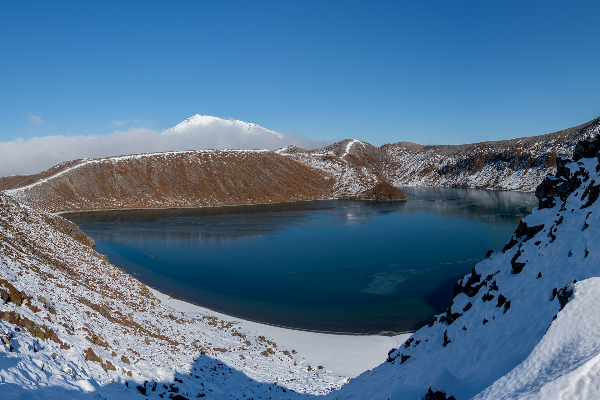
Back in the basin directly south of Ngauruhoe, I passed west of pt. 1562. It was a bit of a slog in a very flat plateau, but the small saddle at the southern terminus gave a great view of Upper Tama Lake.

Upper Tama Lake.

A short climb SW took me up onto the bounding ridge, and some minor up and down travel eventually took me to my lunch spot with views over Lower Tama Lake. I was a bit shattered by then, probably in need of calories after missing most of lunch on Friday and then having mostly snacks that morning. There were also bonus immaculate views back up to Ngauruhoe as I ate.

Looking up to Ngauruhoe, the margins of Upper Tama Lake on the left.
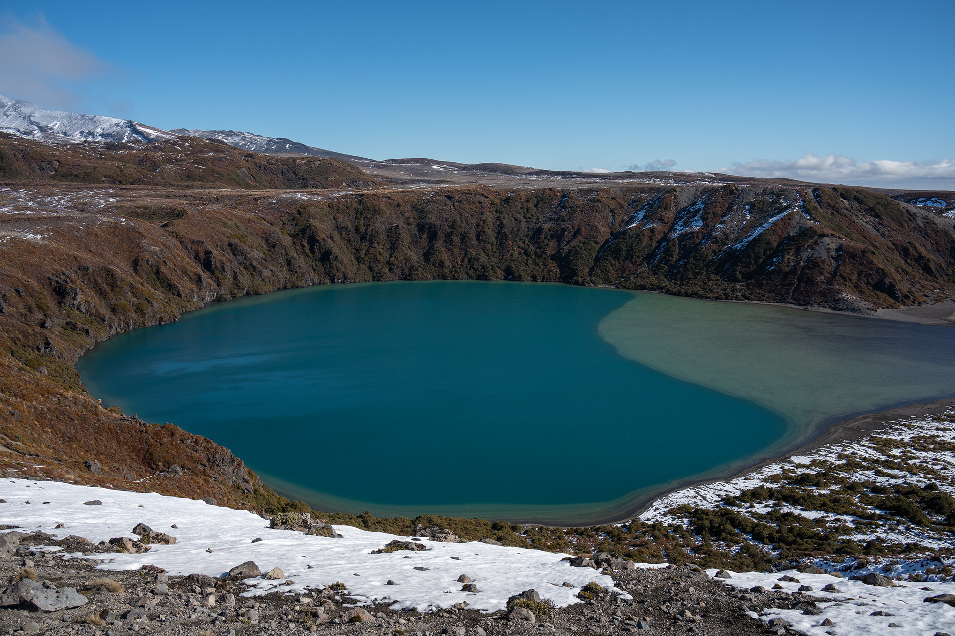
Lower Tama Lake.

Dropping off Lower Tama Lake, you hit low volcanic scrub for a few hundred metres before the Northern Circuit. I imagine there's a well trodden path through this, probably west of where I breached it. It's probably worth looking for that to save the vegetation, though any route offers easy access across to the formed track that takes you back to Waihohonu Hut and the carpark.

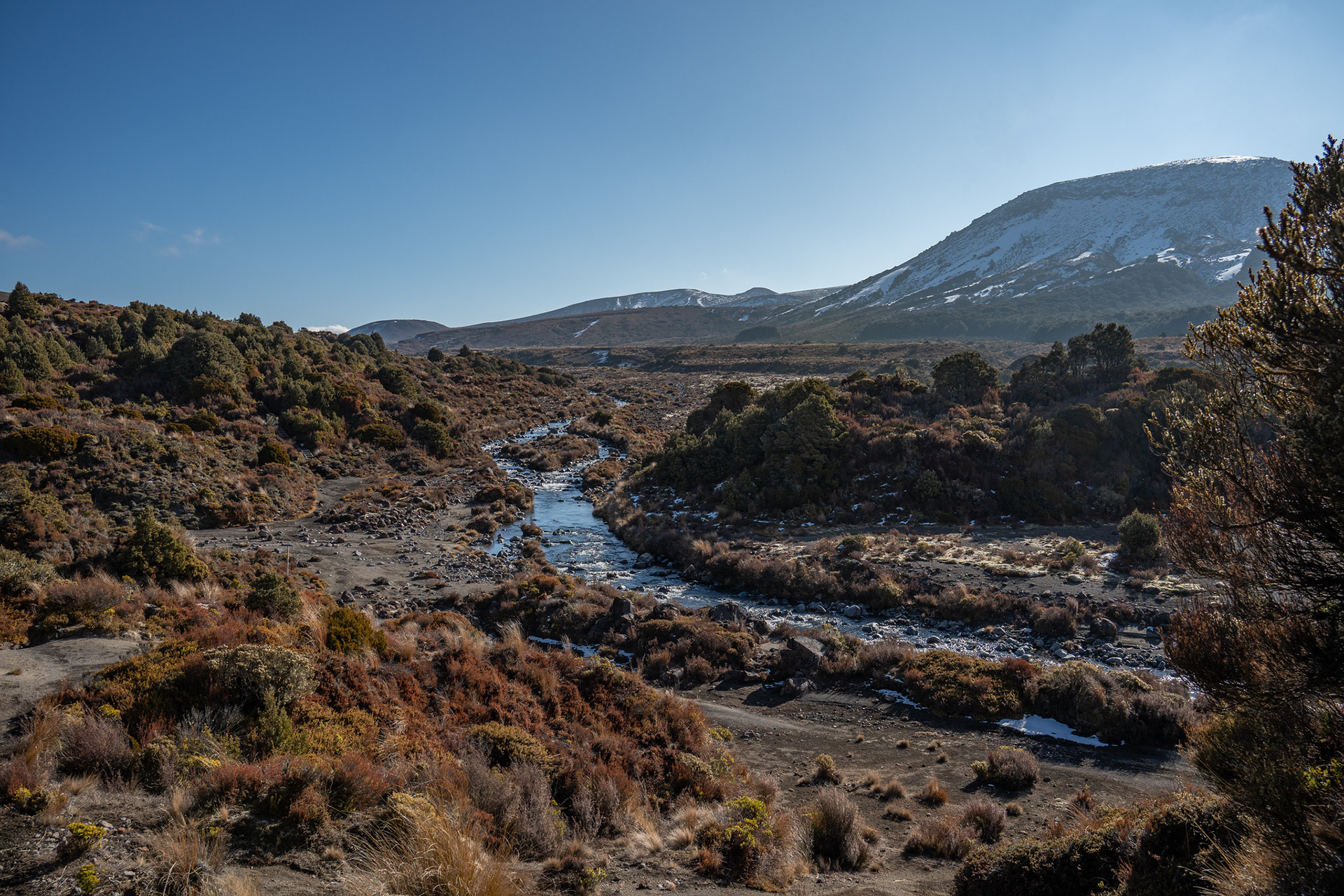
Looking back up the Ohinepango catchment.

Around 4pm, I arrived back at the carpark to find the car in one piece. The area has a reputation for break ins, so it was a welcome relief. All that was left to do was get a $14 chicken burger from Waiouru and drive the 2:10 back home for a well deserved sleep.

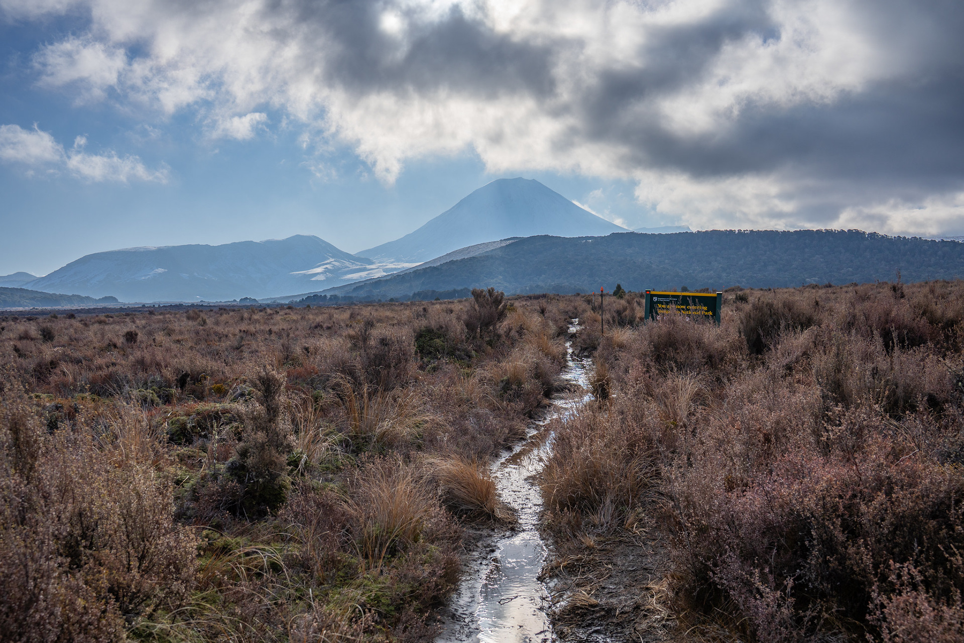
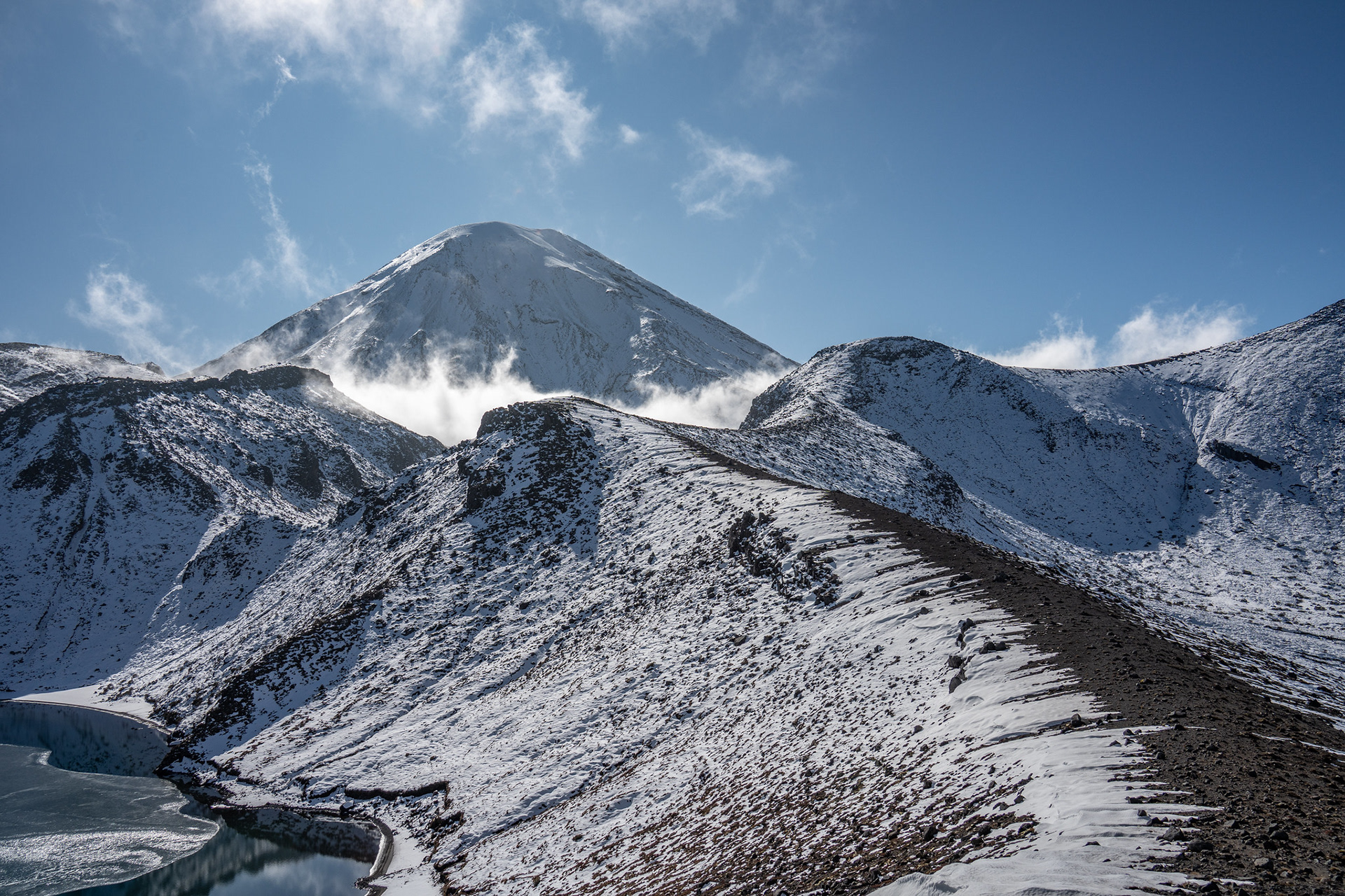
One more look back to Ngauruhoe.

You may also like

Back to Top