The Waiopehu region of the Tararua Range is one that gets quite a bit of attention, due in part to it sitting on the popular Te Araroa Trail. It's generally considered one of the harder parts of the 3,000km long route, particularly the section beyond Te Matawai Hut where it sits in scrub and occasional tussock for a period. The internet is filled with tales of woe and rescue from parties who came to grief, though by Tararua standards it's not particularly noteworthy for its difficulty.
I'd been up this way once before, many years ago. That involved driving down from Hawera after a day of working, leaving the carpark at sunset and stumbling up Gable End Ridge to finally reach Te Matawai Hut in the early hours of the morning. I was hoping for cleaner memories this time.
I was just lining up a day route. The popular option here is to head up to Waiopehu Hut via the direct route (i.e. where the TA trail goes), then descending Gable End Ridge. On paper, the route currently requires a reclimb of the Six Discs Track to link the route as the Ohau Gorge Route has been closed due to slips for the past three years - however, it is passable and through the power of two degrees of separation and hearsay (i.e. I heard it from someone I met on the walk who heard it from a DOC staff member the previous day), there seems to be an unofficial acknowledgement that the route is useable albeit not advised.
I had taken the Monday off work, not really through intent. I was supposed to be in Christchurch, but the weather down south was mediocre and I moved that trip. In a rare act of kindness, I offered to still take one of those two days of annual leave to manage my excessive balance and I figured I might as well use it despite the Tararua weather also being less than stunning. It was raining quite heavily when I left Palmerston North that morning, though by the carpark it was merely overcast and threatening to spit.

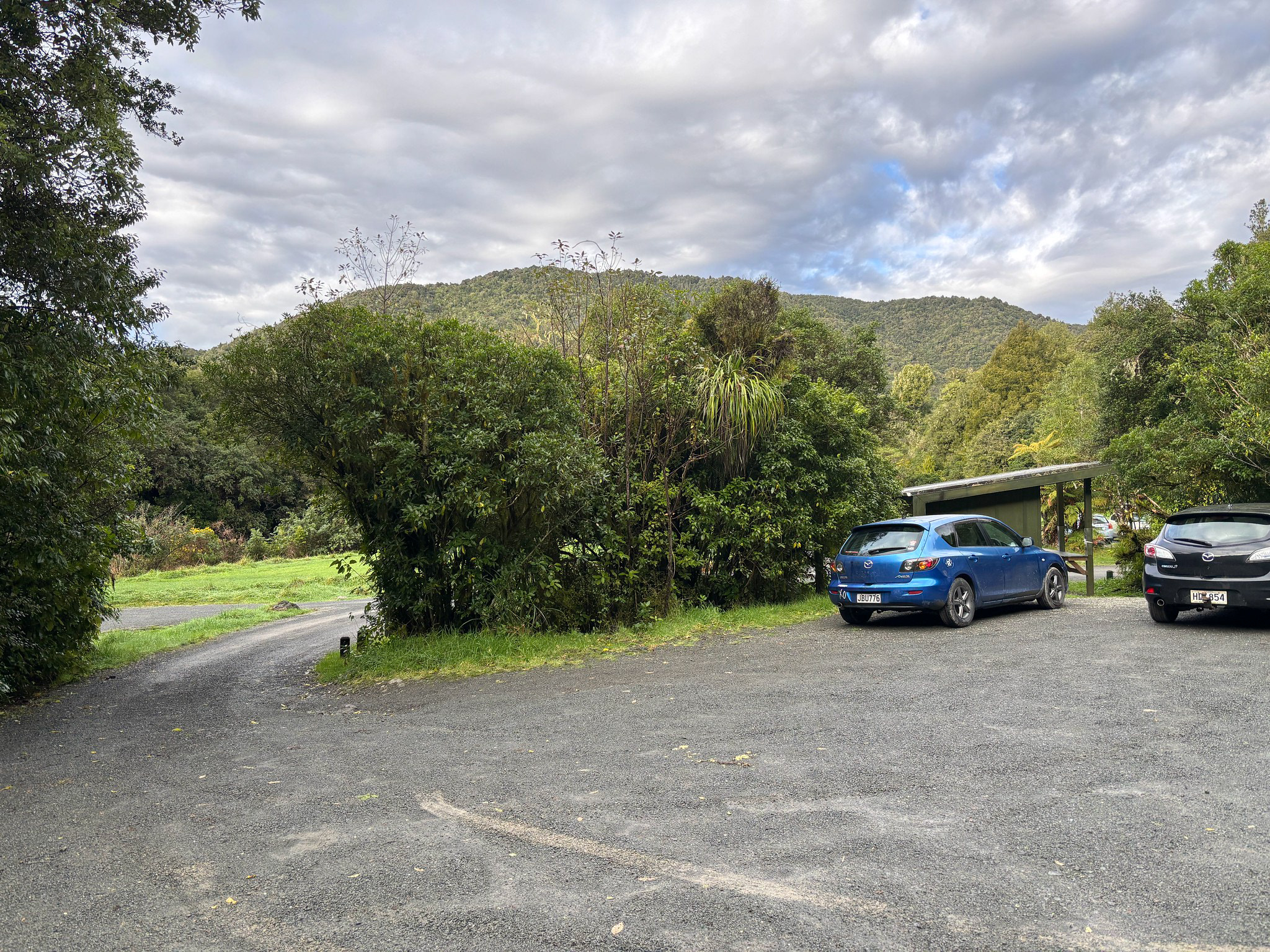
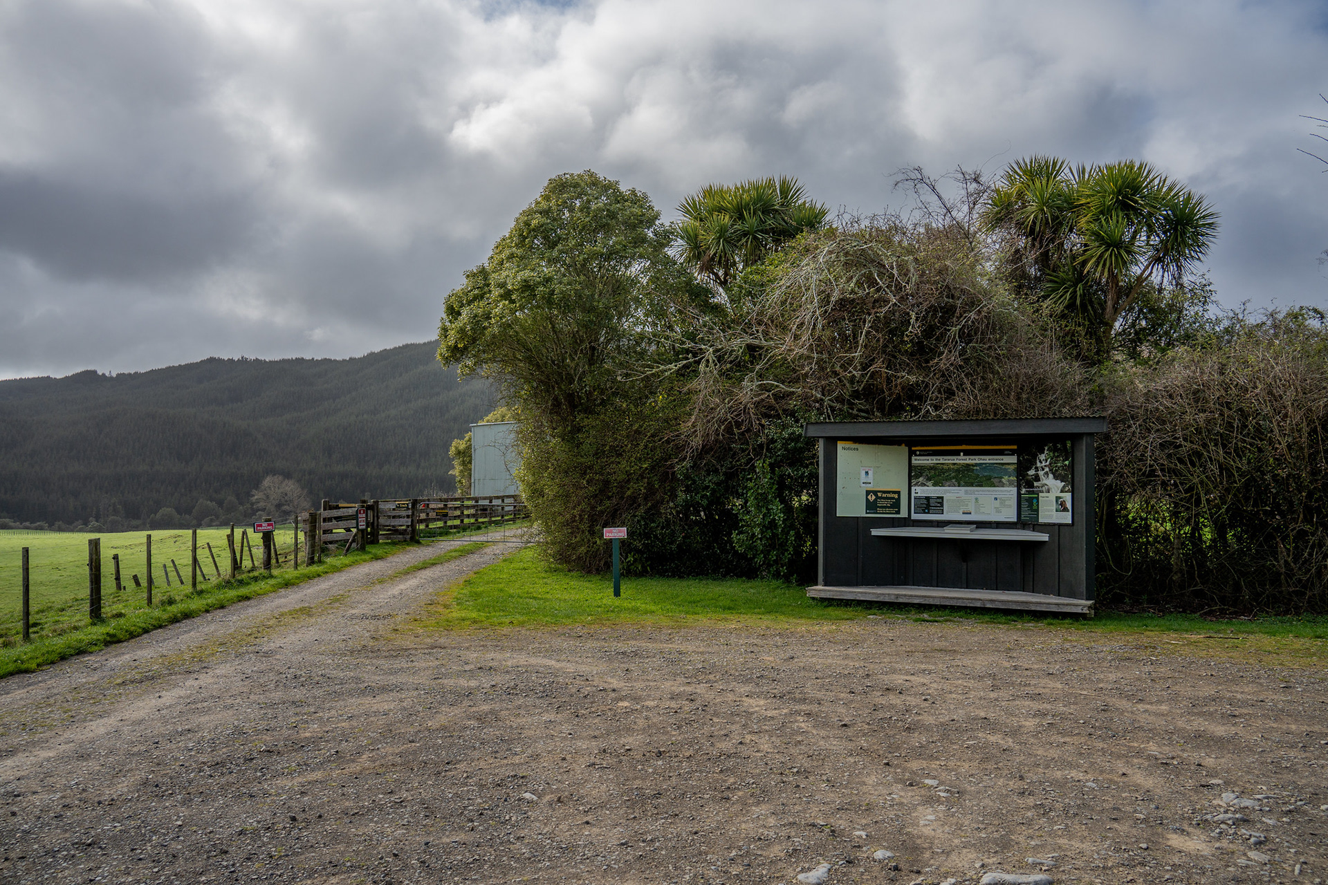
The carpark at the end of Poads Road, near Levin.

The first kilometre of the route goes through farmland. This access is seemingly not legally guaranteed - it's not an unformed legal route, it's not a marginal strip, it doesn't appear to be a gazetted easement. It appears to exist merely through the goodwill of the landowners, so please be on your extra best behaviour when passing through lest it becomes another access route added to the long list of now-closed paths into the Tararuas / Ruahines. The route takes about ten minutes to get through, there is stock adjacent though the only animals I directly encountered were pukeko.

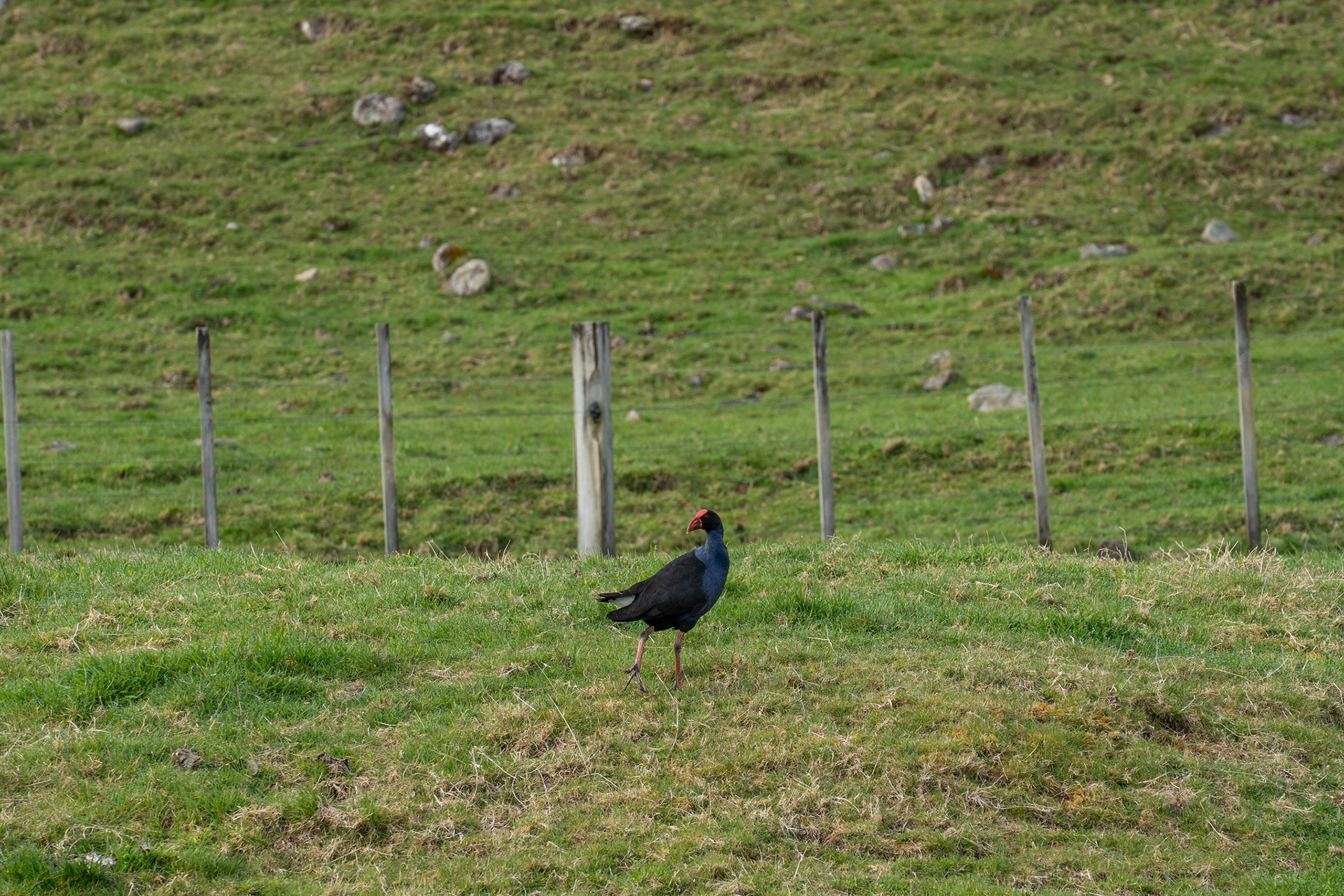
One of the many watchful pukeko on the farm.

At the farm margins, the route jumps into scraggly bush and quickly reaches the track junction. The loop is typically done via the Waiopehu arm first, which means taking a right. There's a little bit of steeper climbing to get over the toe of the spur, but it soon flattens out into reasonably easy face travel. At around 500m, the crest of the ridge is gained properly where there is a further flattening, plus currently a lot of pigs.

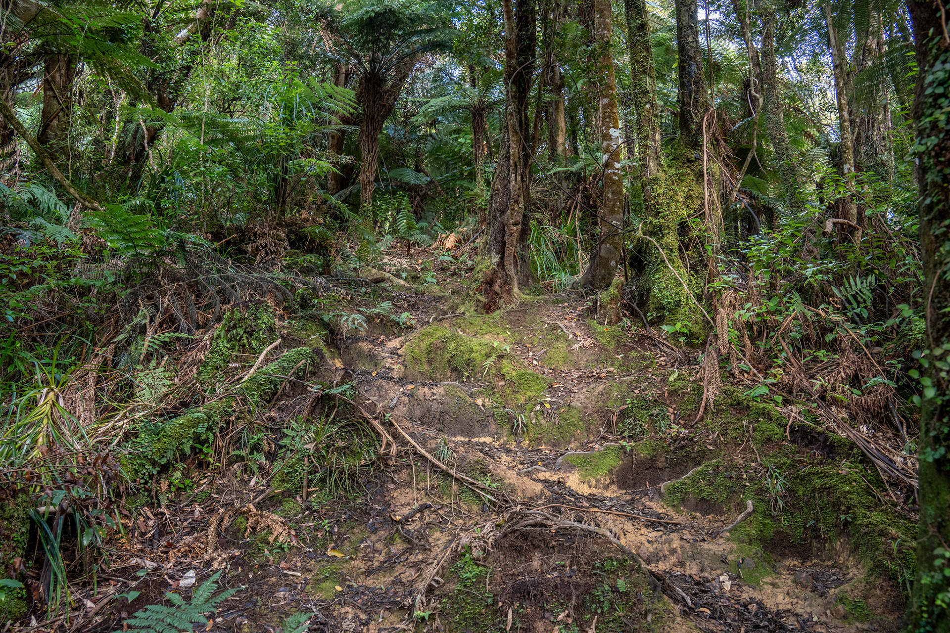
Some initial steeper travel to get off the pastoral flats.

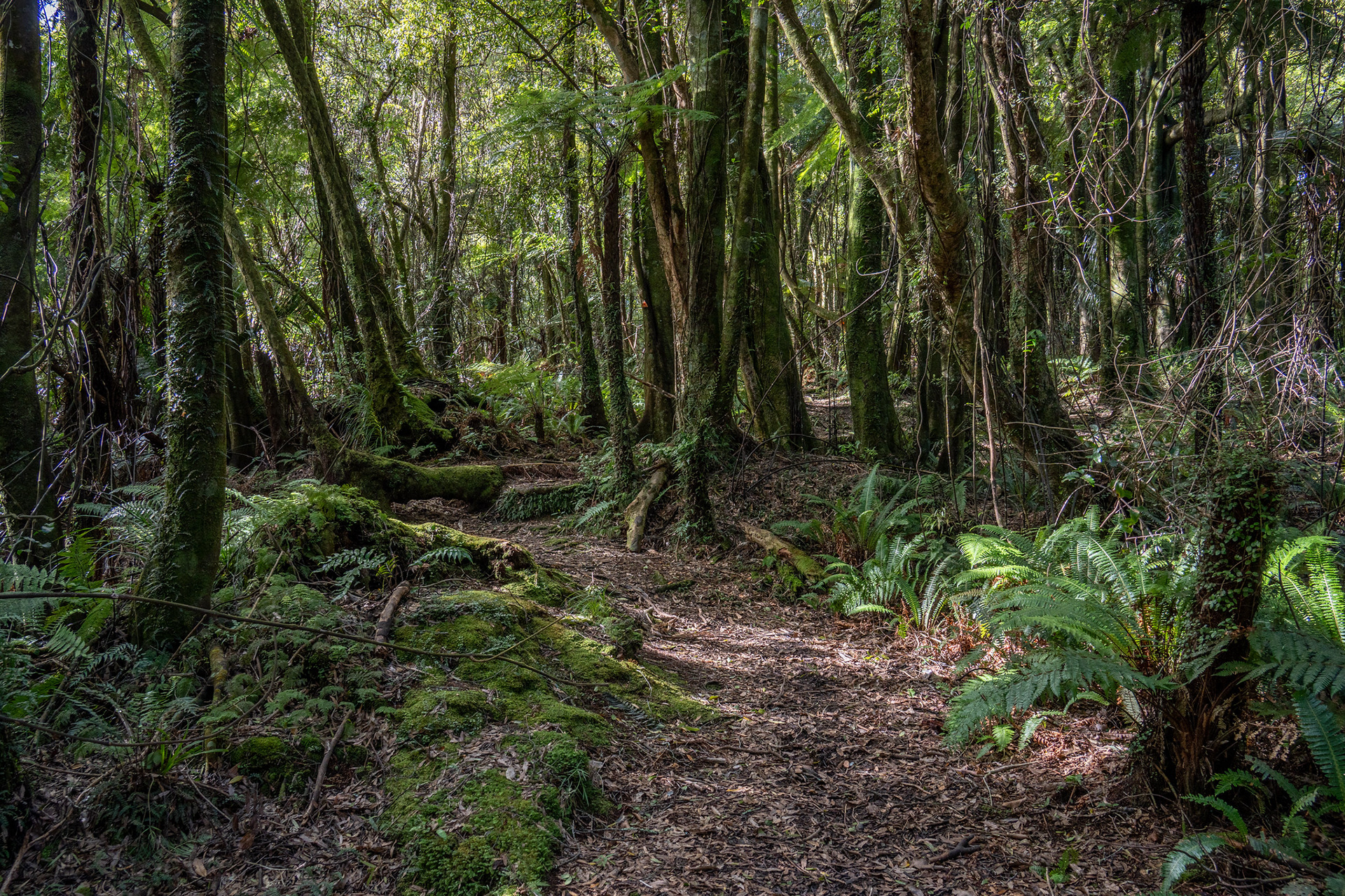
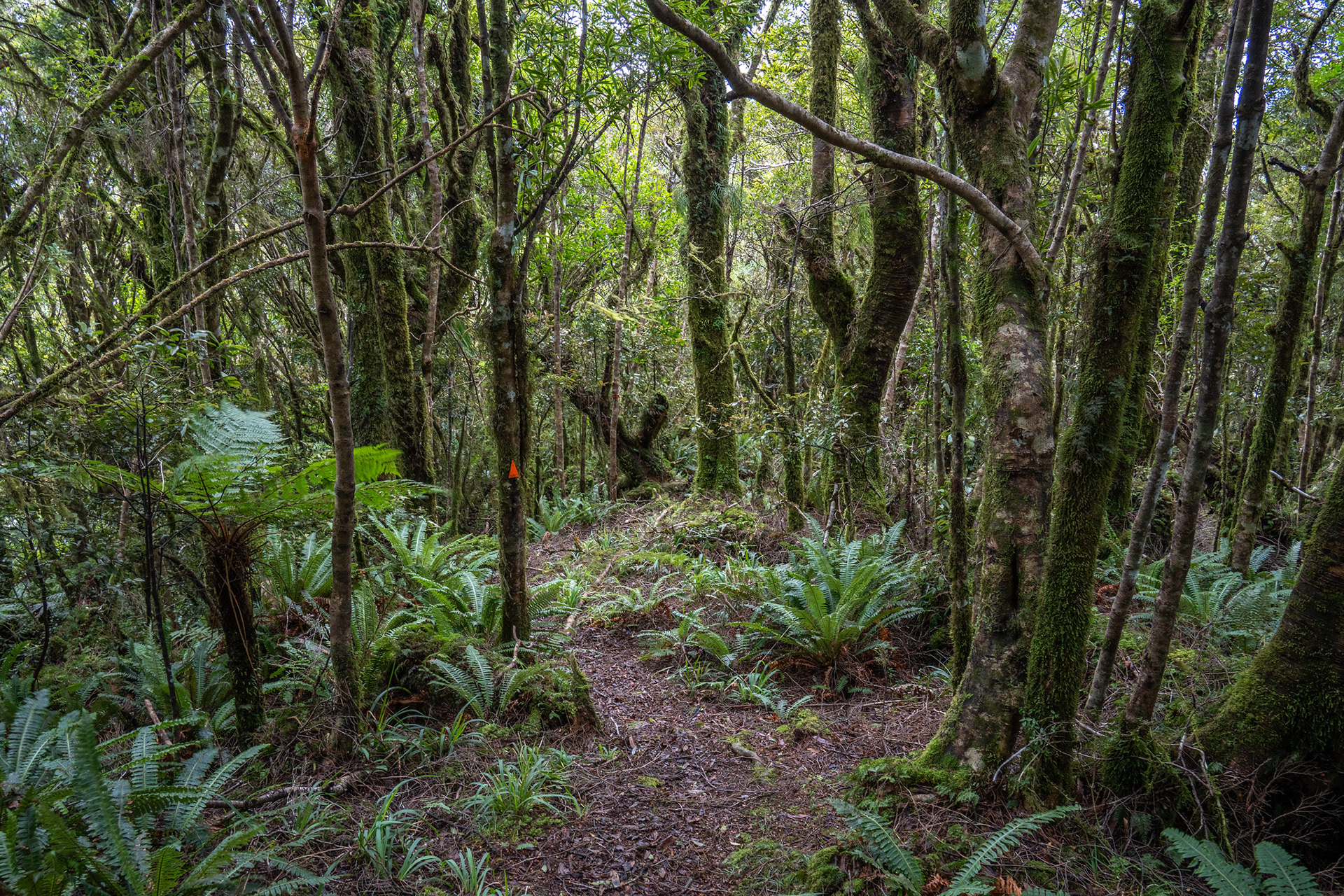
Beautiful formed track on the slow amble up to the ridge crest.

Once on the crest, it's anĀ at times frustratingly slow ascent courtesy of just how shallow the ridge is. It's undeniably lovely forest with a lush lower section before a spindly approach to the bushline, but it seems to take an eternity to get higher and to make matters worse, there are reasonably frequent short sections of descent. After about 9.5km and 1000m of total elevation gain, the hut is reached.

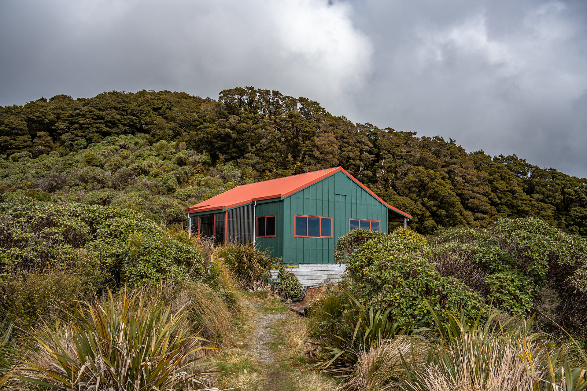
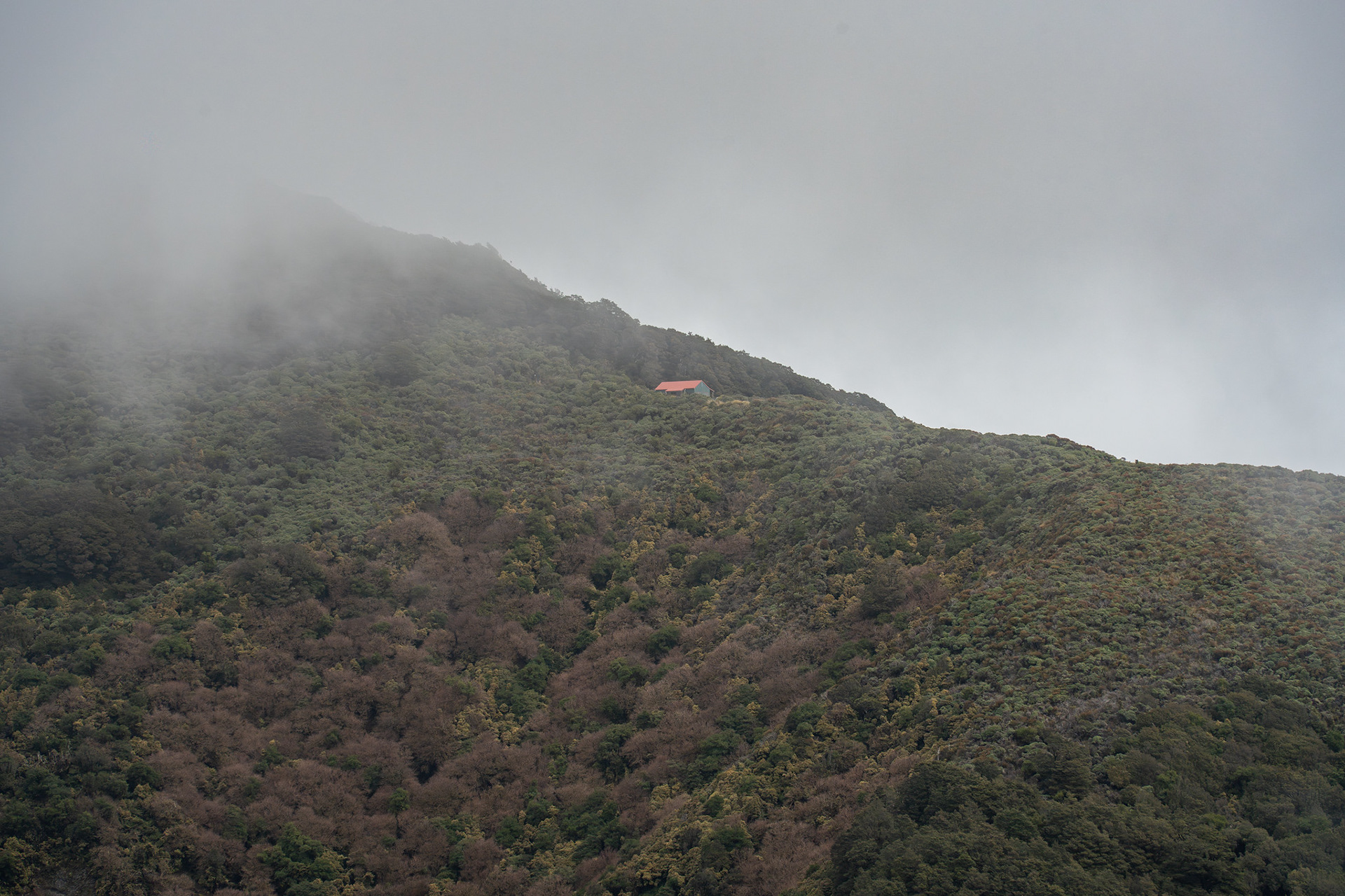
Waiopehu Hut on its lovely perch.

It's a delightful spot, with views out over Levin / Lake Horowhenua and up towards the northern tops of the Tararua Range. The hut has a nice communal area, and sleeps 18 across two bunkrooms.

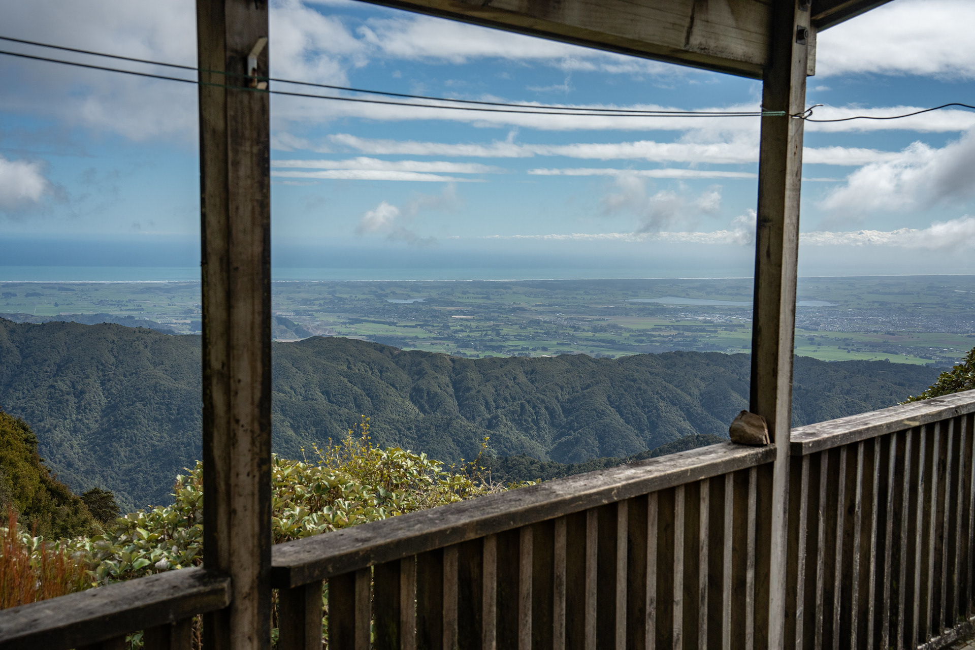
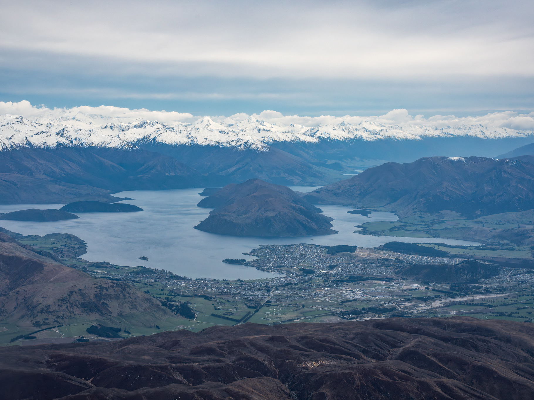
The hut view out towards Levin and the coast.

The view from the communal area, largely towards Gable End Ridge and The Camelbacks.

Heading beyond the hut immediately leaves you in delightful forest, and then a short climb up to the summit of Waiopehu. Finding the true high point of the latter is pretty marginal - the mapped high point appears to be slightly lower than some of the terrain to its north, but it's much of a muchness amongst a broad sweep of tussock and scrub.

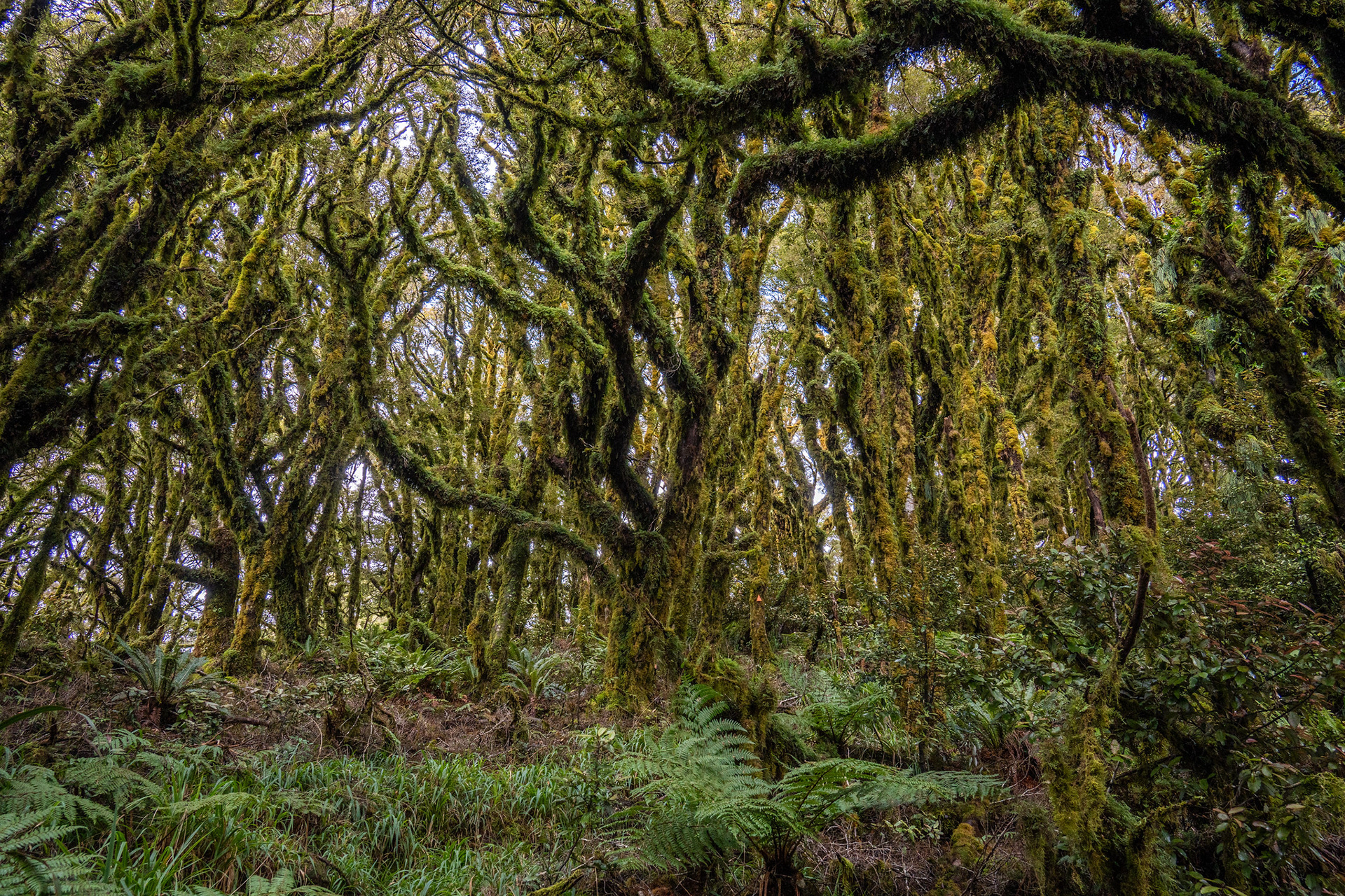
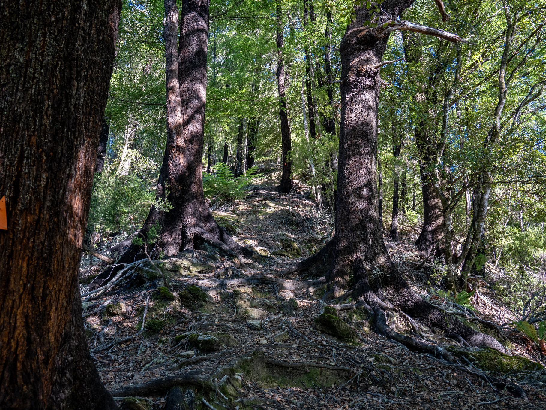
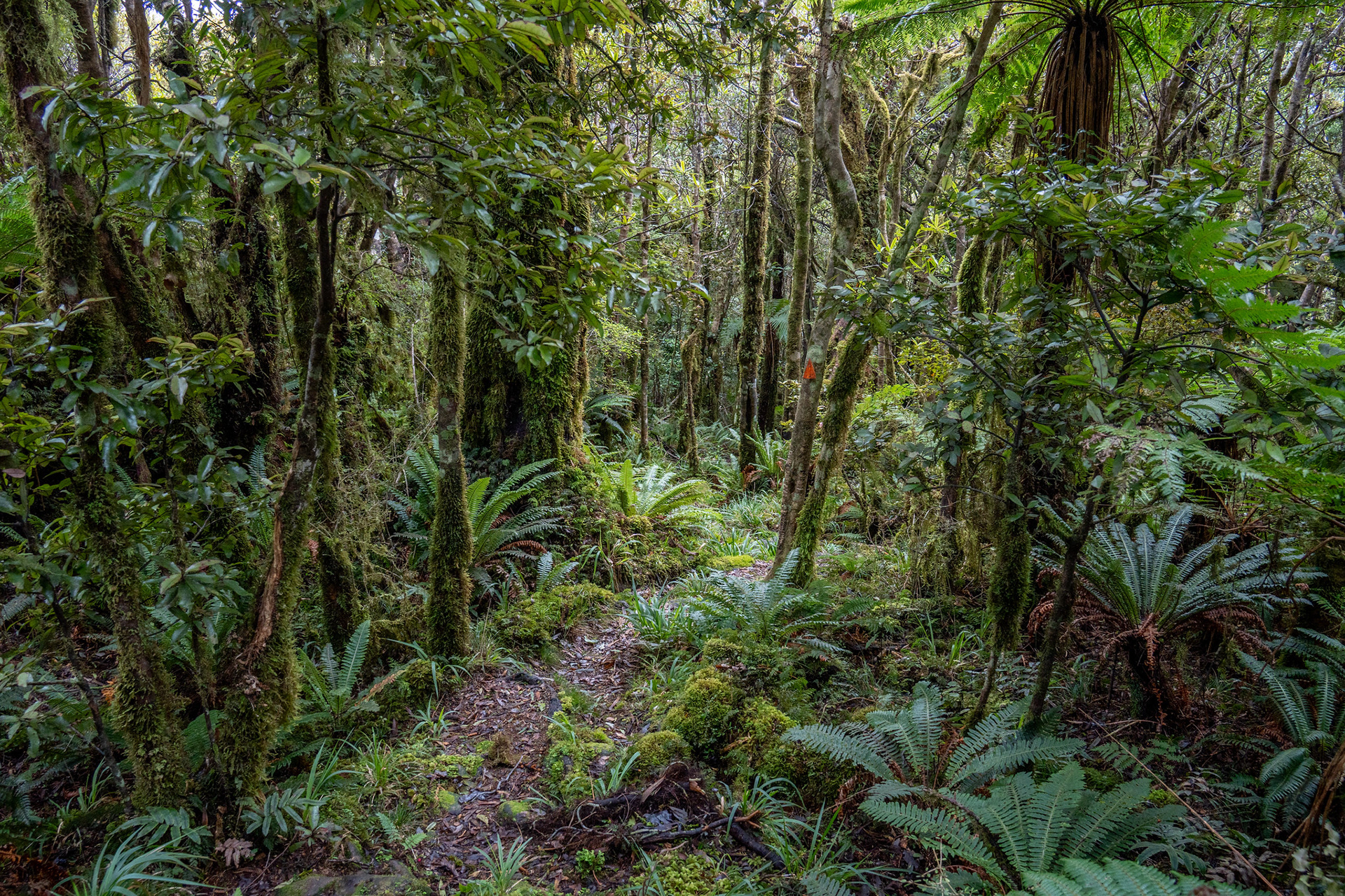
The forest immediately above the hut.

Beyond Waiopehu, the route drops down to an unnamed saddle and then reclimbs back up to Twin Peak. The latter has the gravesite and a memorial to Ralph Wood, who sadly perished in a storm on the range in 1936. He was part of a party which abandoned the safety of Te Matawai Hut to flee an incoming weather bomb, sadly perishing on the egress from the range.

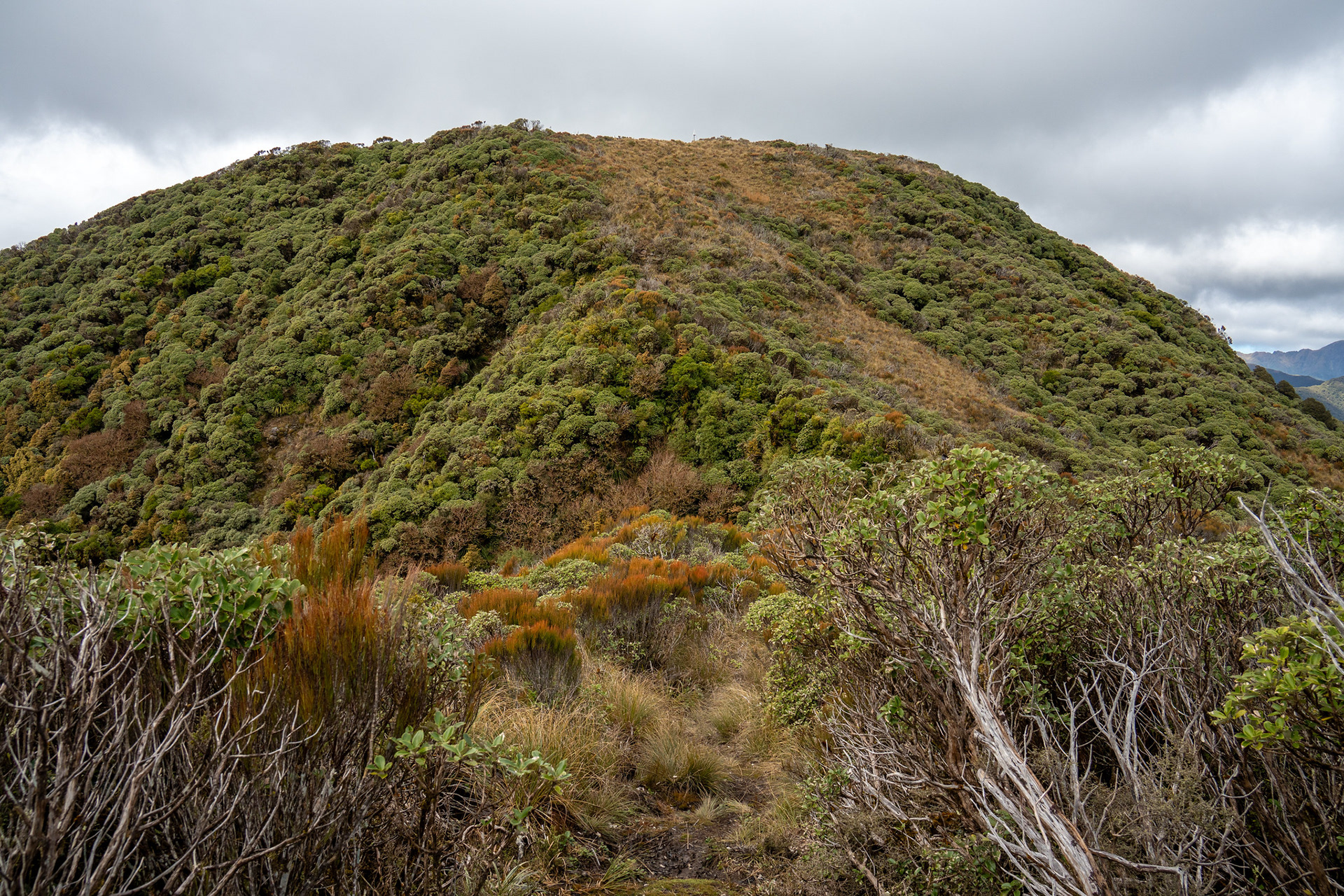
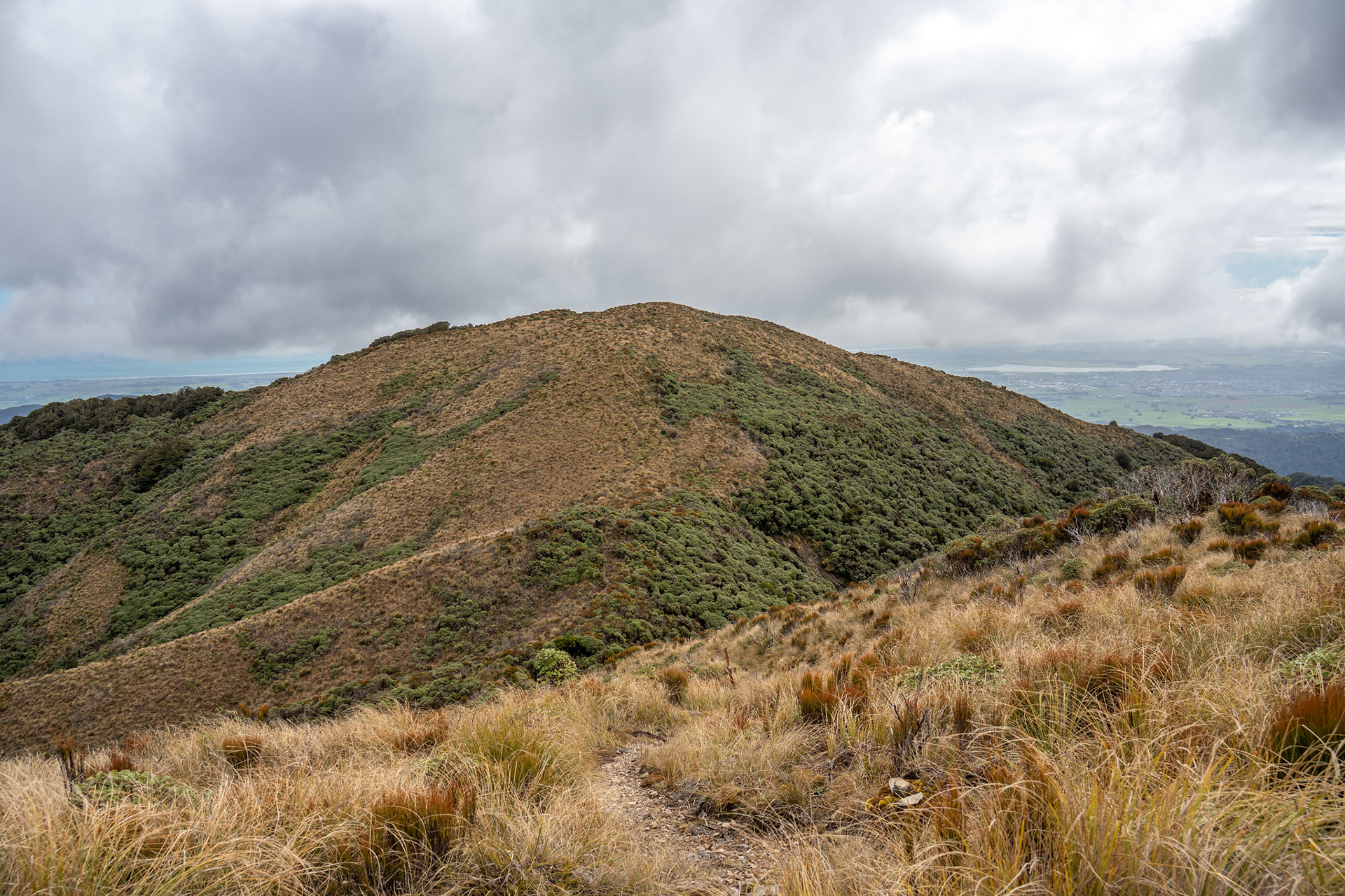
The short climb up to Twin Peak.

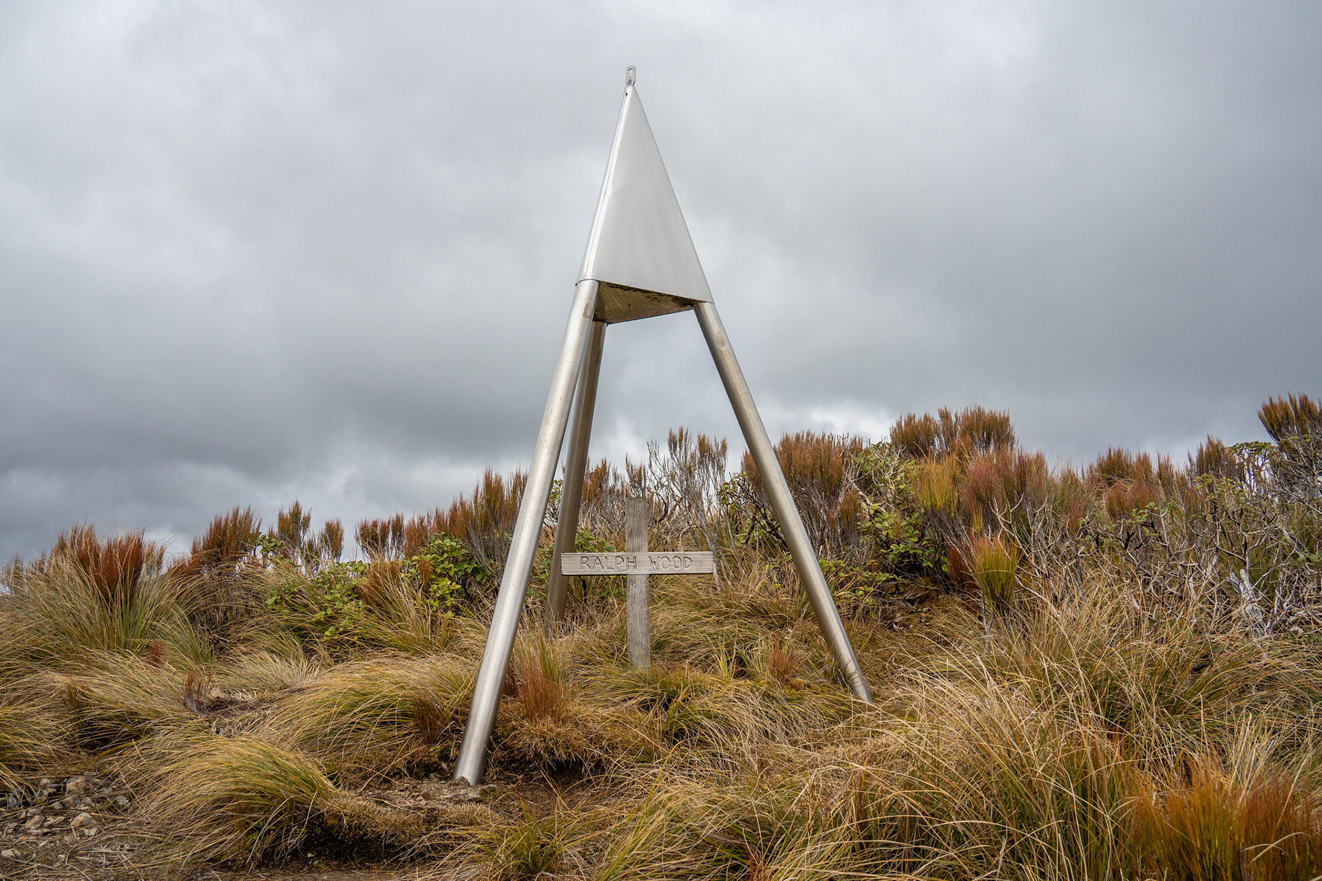
The memorial for Ralph Wood - there is another cross a minute or so back towards Waiopehu which I believe marks the true gravesite.

I wandered over to the true summit of Twin Peak, for which there is an overgrown footpad. It would have yielded nice views into the interior of the range had it been sunny, but nonetheless it was worth the few minutes to bag the peak proper.

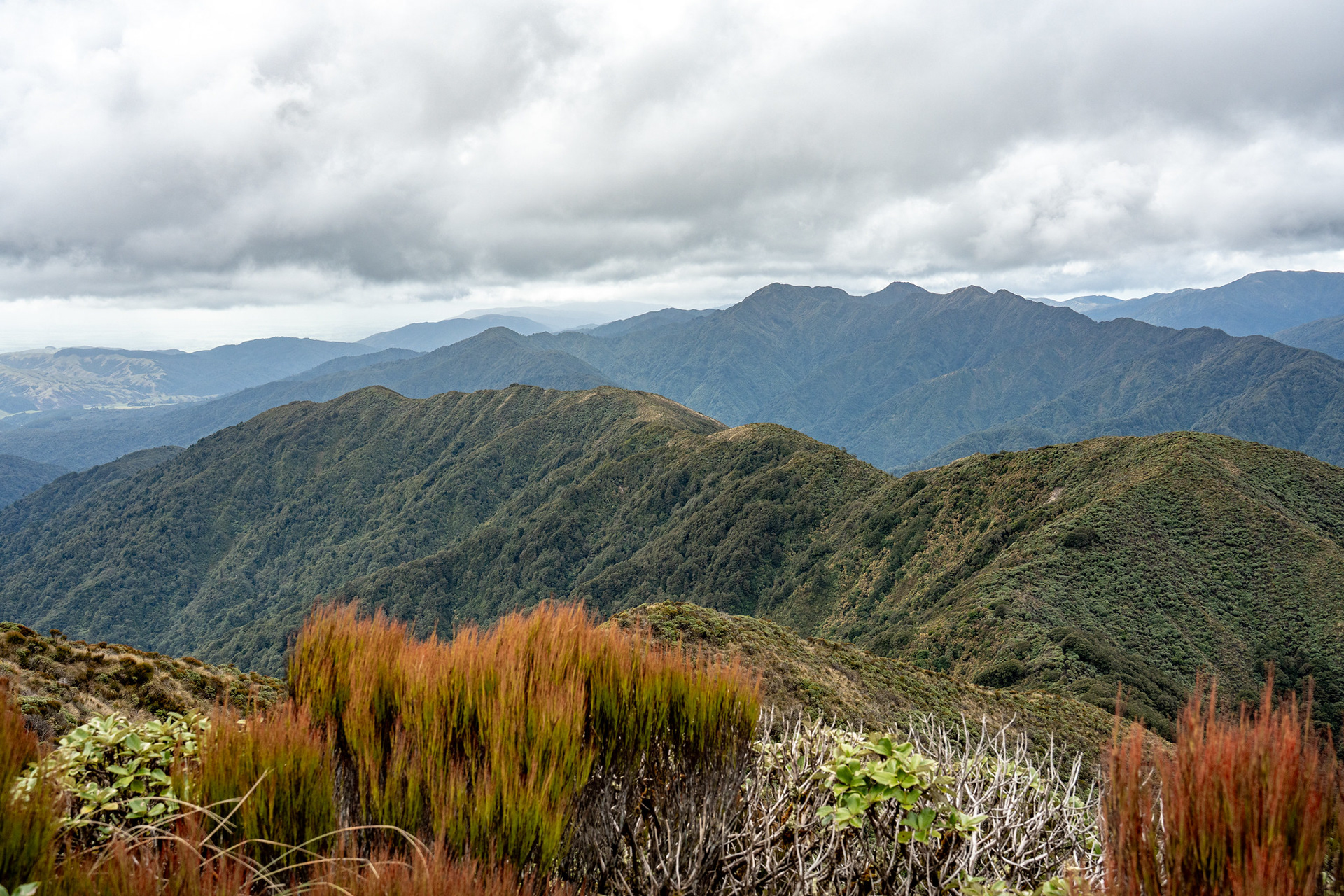
Looking down Gable End Ridge from the summit of Twin Peak.

Beyond Twin Peak, the route sheds about 200m of elevation to a saddle before a short climb up onto Richards Knob. This is where the Te Matawai Hut (and hence TA Trail) take off, but I continued straight to follow Gable End Ridge. The track on this side is noticeably rougher, plenty of mud and regrowth.

Looking back to Waiopehu from near Twin Peak.

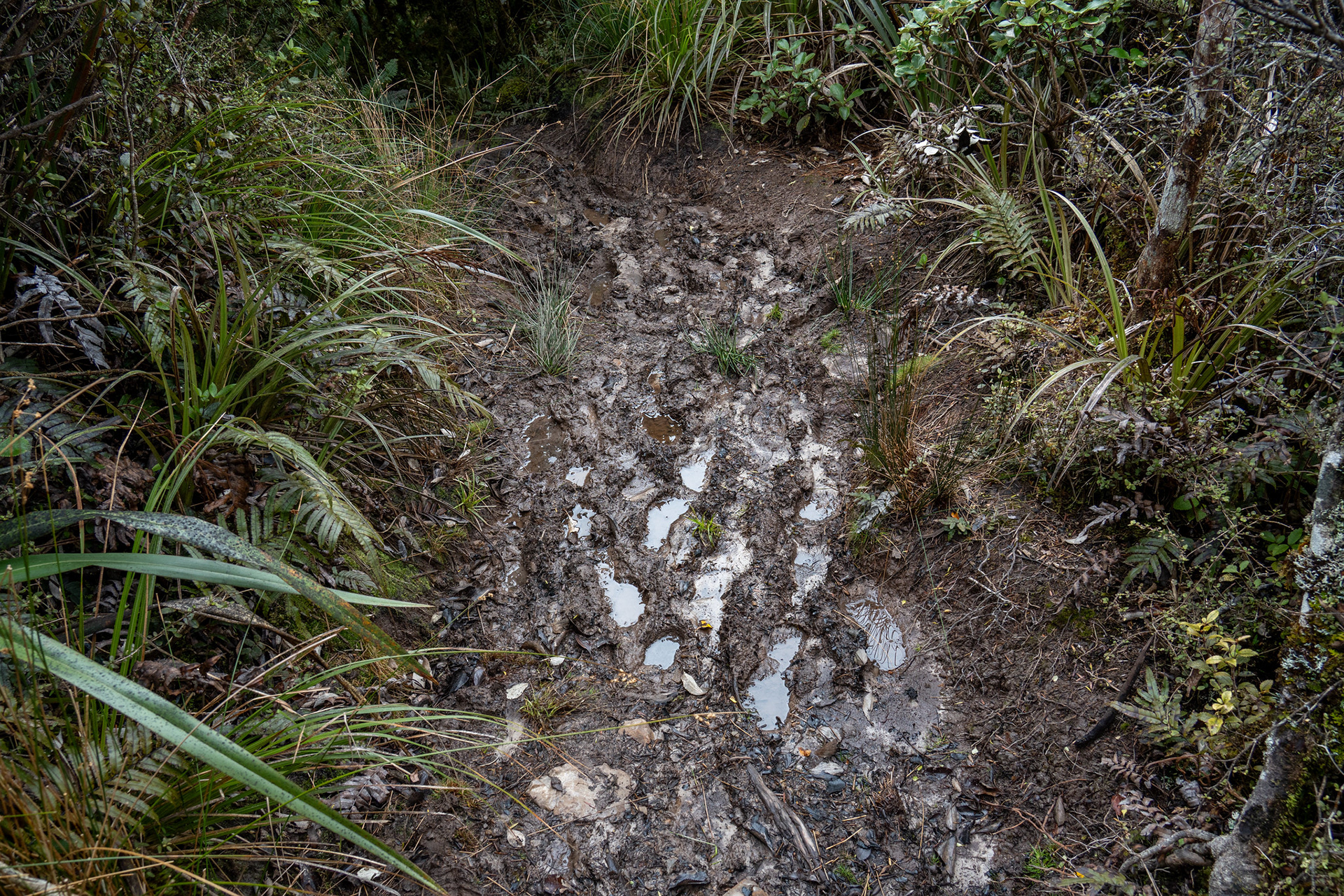
Much of Gable End Ridge is bog like this

The route takes a long time to drop, oscillating up and down before Gable End (the named peak) is encountered about 3km after Richards Knob. The elevation difference between the two is only about 80m, but there are lots of small ups and downs hidden by the 20m contours on the topo map. This holds true for a lot of the trip, with my watch logging a bit over 1550m of elevation across the day compared to the 1350m or so one gets from counting contours. As much of this section is in scrub, there are nice views back to the hut.

Waiopehu Hut across the Blackwater Valley.

Beyond Gable End, the route begins to drop more sharply towards the Ohau / Blackwater junction. As with much of the Tararua Range, the forest becomes more attractive at lower elevations and the jaunt becomes pleasant. There's a patch of storm damage and windfall at around 350m, but there is nothing on the ridge which will trouble trampers.

Typical track on the descent off Gable End.

At the base of Gable End, the track swings left with a bridge over Blackwater Stream and hits a junction. As mentioned earlier, the DOC-recommended exit option is to climb the Six Discs Track (the one which hits the Waiopehu ridge around 500m) though the Ohau Gorge Track is also viable provided you can get across a couple of slips.
I headed down the gorge. The first slip is encountered almost immediately, the second one perhaps 10 or 15 minutes later. Both have benches cut into them at the time of writing, making the gorge track straightforward. It's a neat piece of track routing, sitting surprisingly high above the river for the most part.

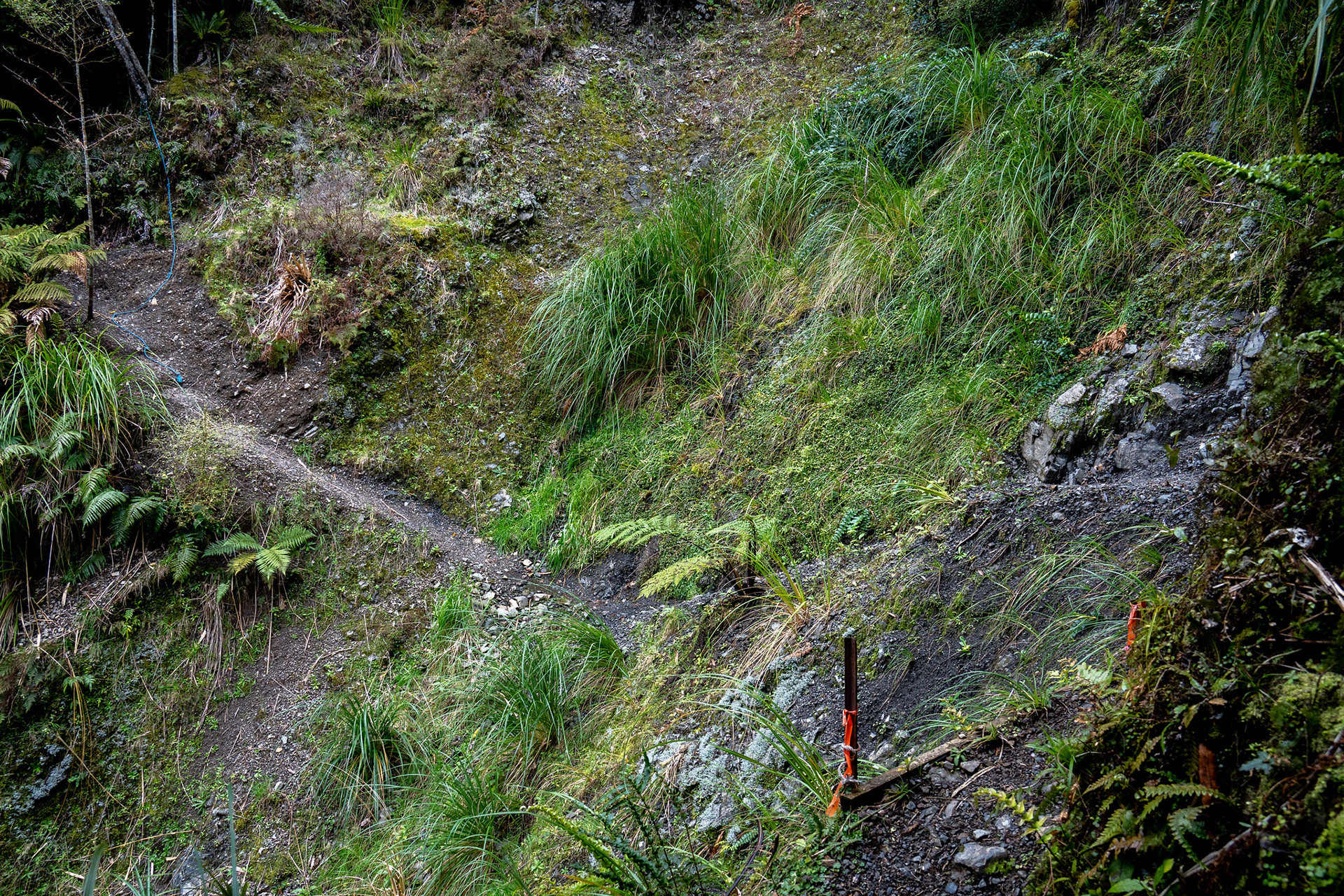
The first of the slips on the Ohau Gorge Track.

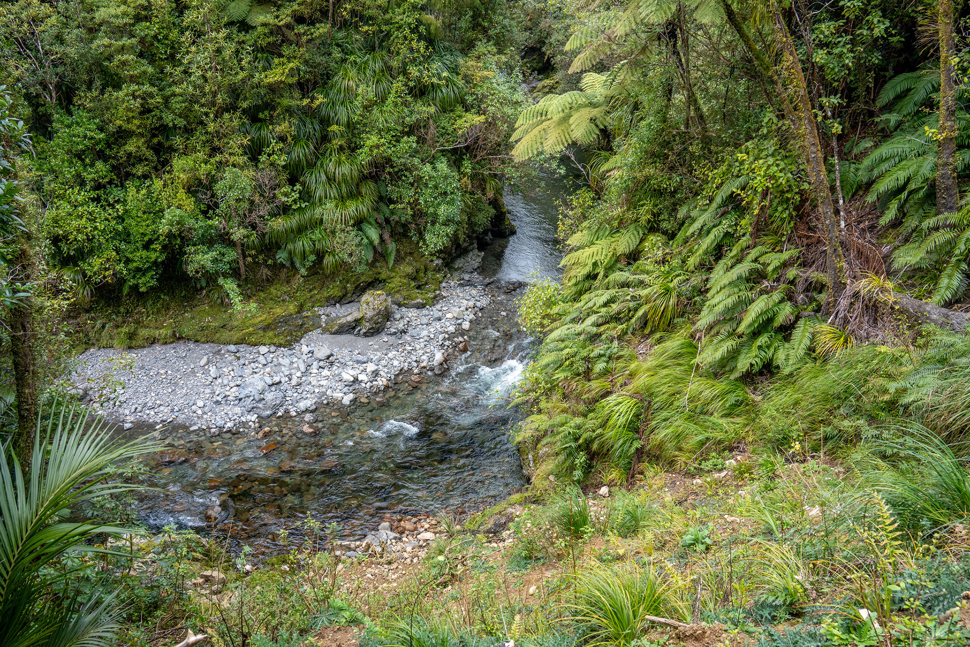
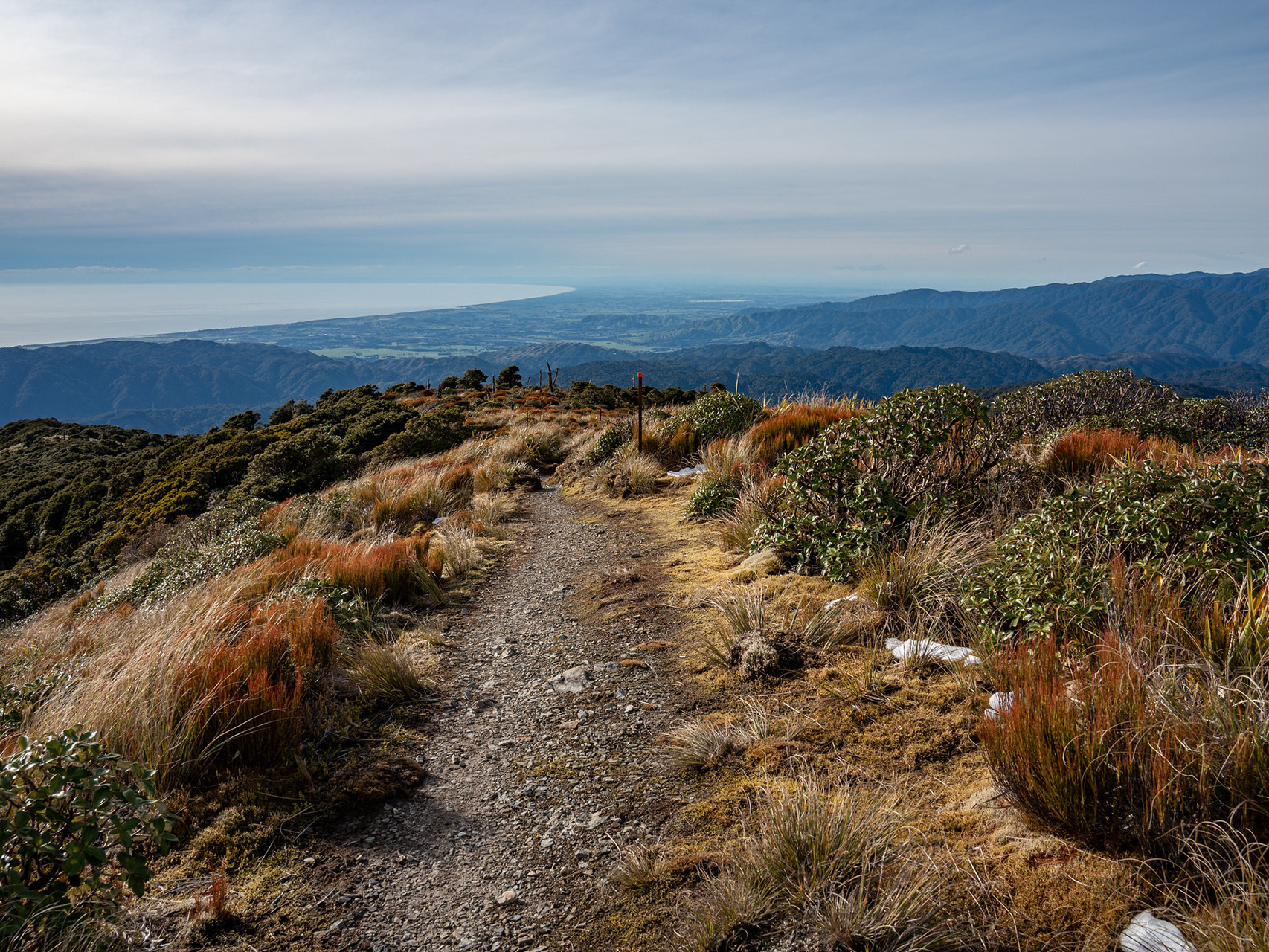
Looking down into the Ohau Gorge, a very scenic part of the park.

Once the excitement of the gorge has passed, the route largely sidles the face at around 160m before hitting the junction with the Waiopehu ridge. From here, a quick turn right and 15 minutes of walking takes you back to the carpark to complete the loop.
Track Notes
- While this loop is done as a day trip, it is about 22.5km with around 1550m of climbing (assuming you come out via the gorge). It can probably be thought of as similar in exertion to climbing Mt Taranaki.
- Route timing varies by party, I took about 5.5h of walking (plus half an hour having lunch at the hut). Wilderness Magazine suggests about 9h, good trail runners do it in around 4h. If in doubt, Waiopehu Hut is a nice place to split the distance.
- The first section of this route can be very busy in TA season. Most TA walkers go SOBO (southbound), so are hitting this section of trail in November / December. If you are passing through during this period, it could be worth bringing a tent. There is limited camping around the hut and a few small clearings just below the bushline, if there is nothing suitable you can always sleep in the communal area.
- Weather wise, there are some sections exposed to the weather (roughly from a few minutes beyond the hut to just beyond Twin Peak), though a lot of Gable End Ridge is in low scrub and would be unpleasant in high winds or heavy rain.
- The track up to Waiopehu Hut is well formed, and volunteers have installed some rafts to mitigate the worst of the mud. In comparison, Gable End Ridge tends to be muddy and a lot of it is encroached.

You may also like

Back to Top