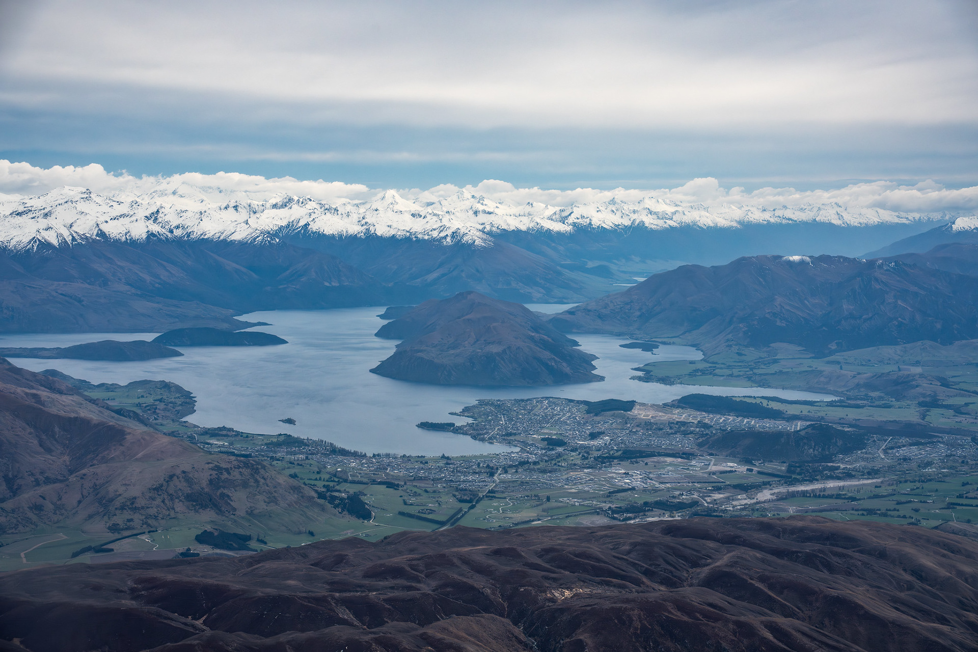
Flying past Wanaka on the way down, Glendhu Bay is just out of shot to the left.
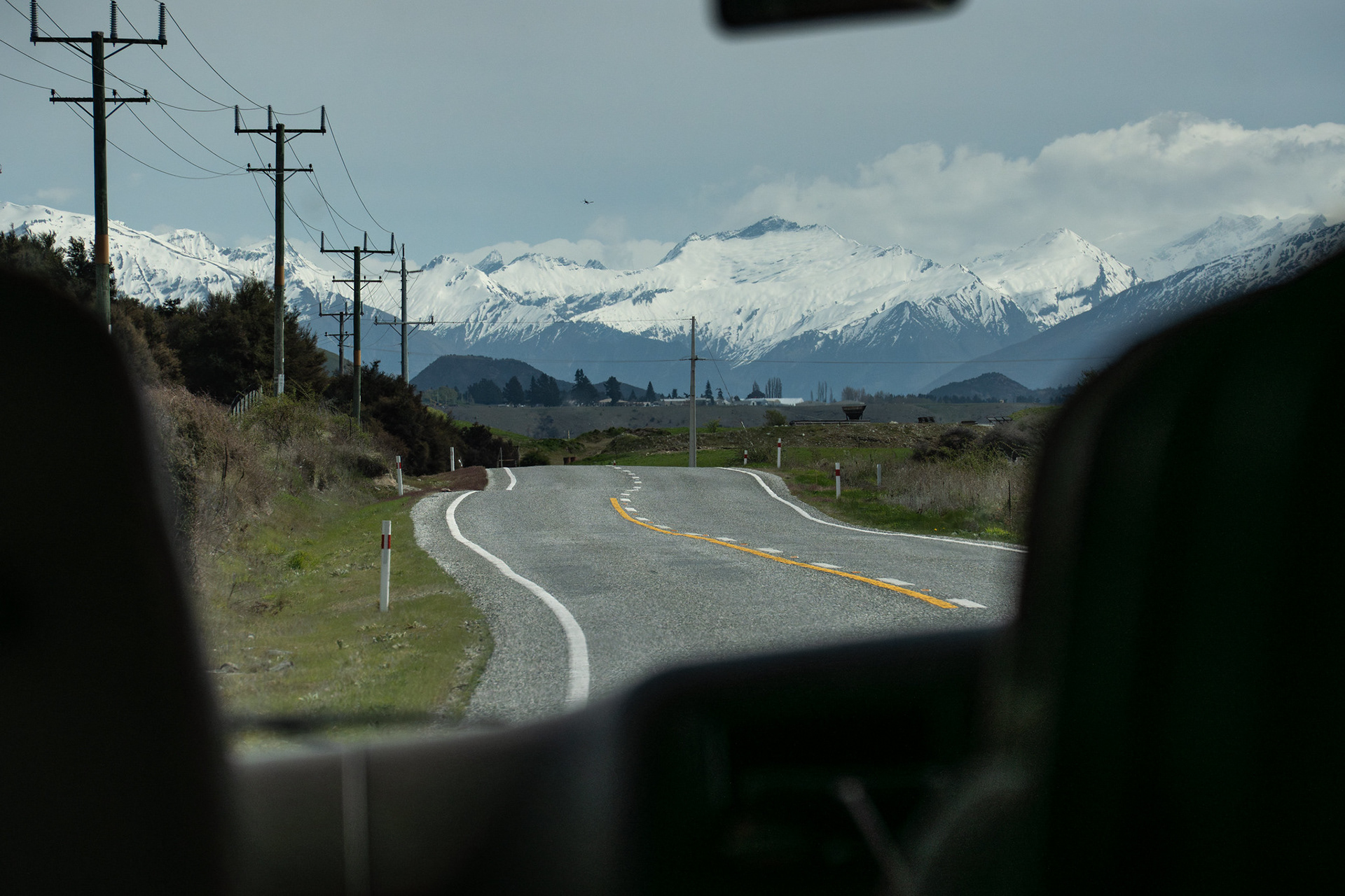
On the shuttle to Wanaka, currently $40 with Ritchies.
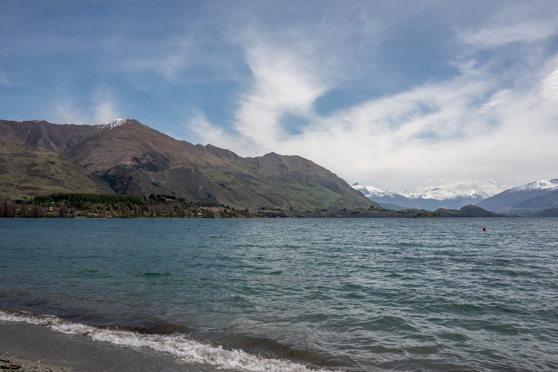
Setting out from the lakeshore in the township, Roys Peak is visible in the distant centre.
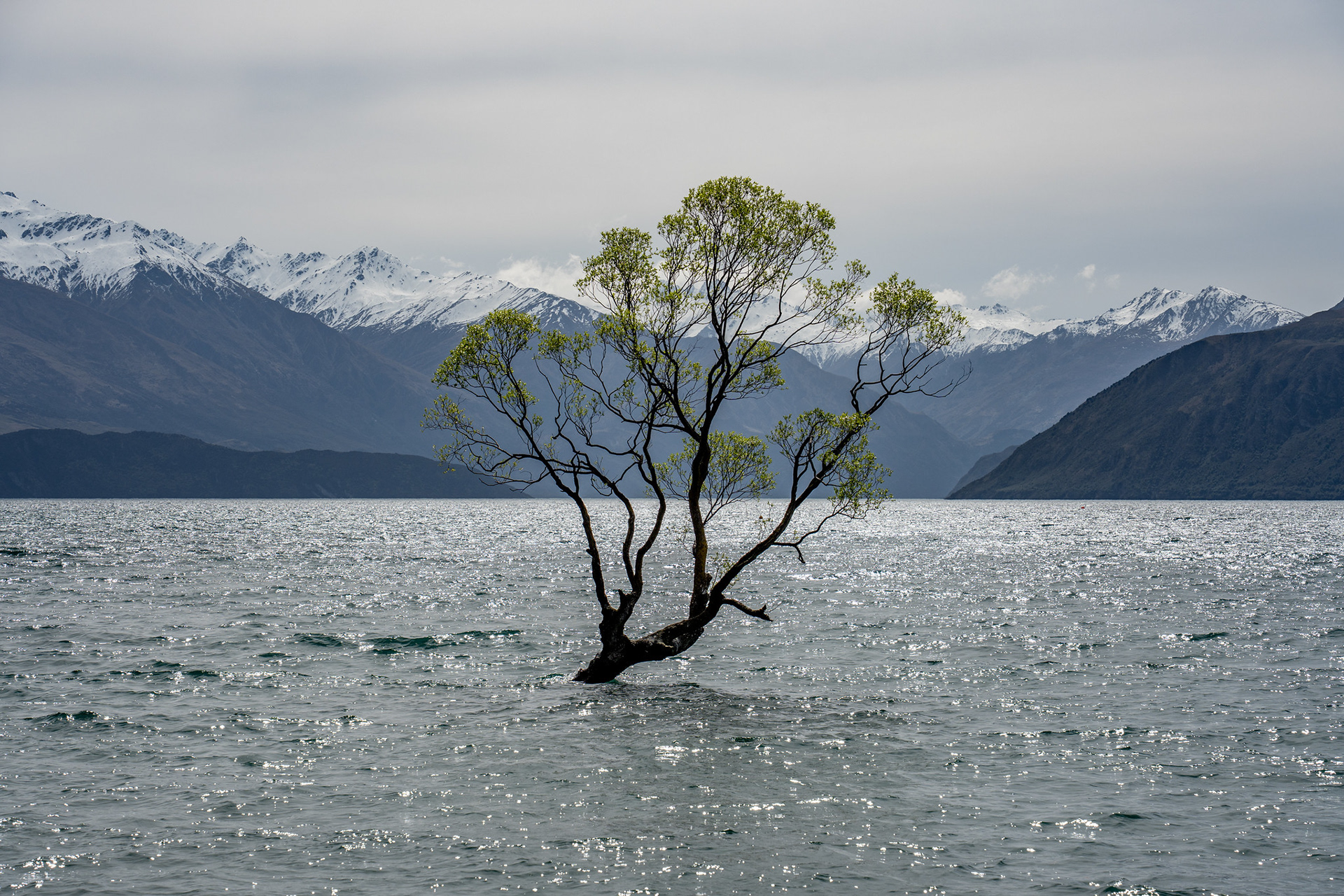
If you're social-media happy, the lakefront walk goes past the Wanaka Tree.
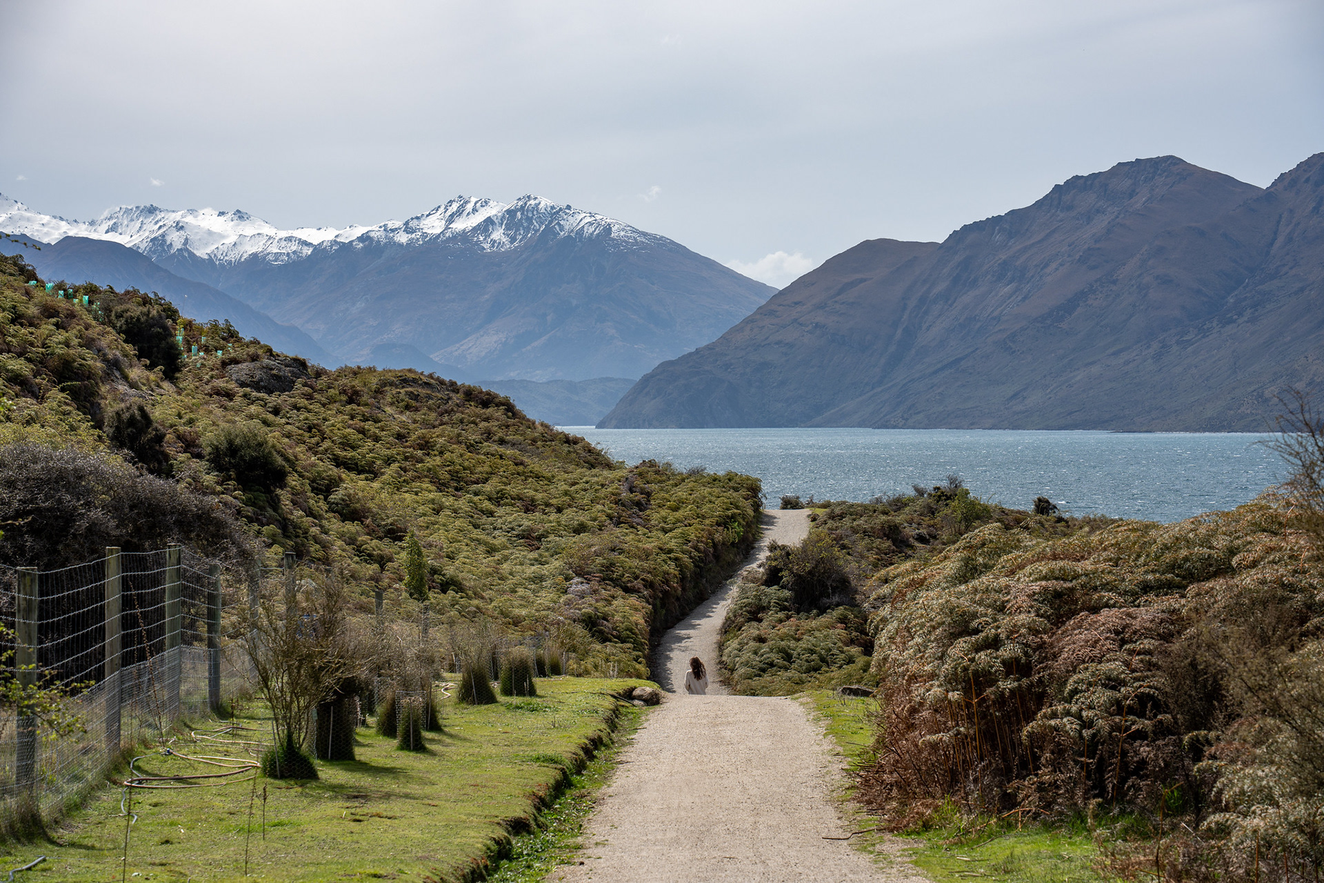
Onto the Millennium Trail proper now, as it works its way around the peninsula.
Across a flat part of the peninsula to End Peak, it's prominent throughout most of the walk and the Motatapu Track.
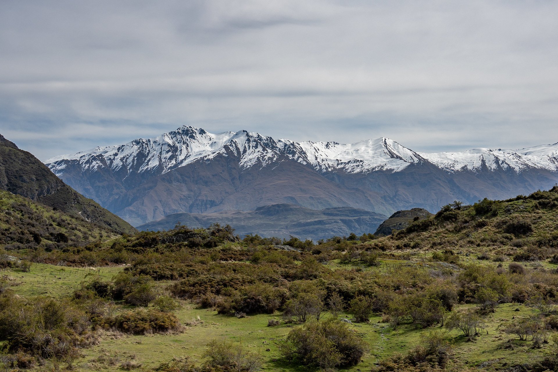
Looking up the Motatapu Valley from Glendhu Bay.
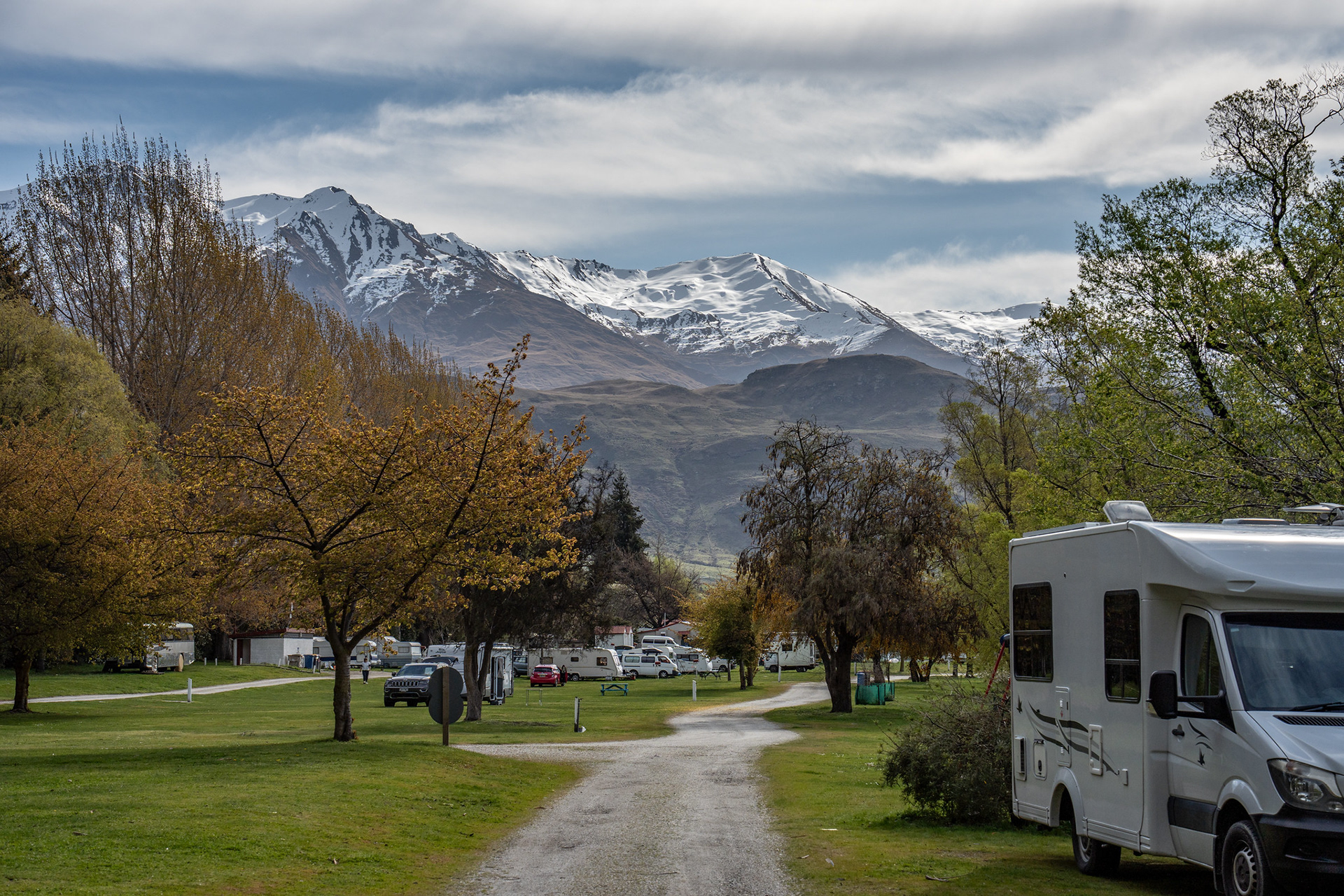
Heading through the Glendhu Bay holiday park, a very scenic backdrop. Surprisingly affordable too, if you wanted to overnight here like some TA walkers do.
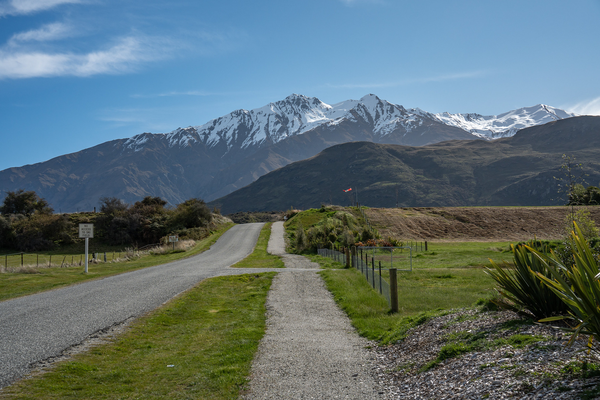
Wandering beside Motatapu Road, there's a footpath initially until the Bike Glendhu turnoff then it's back onto the road.
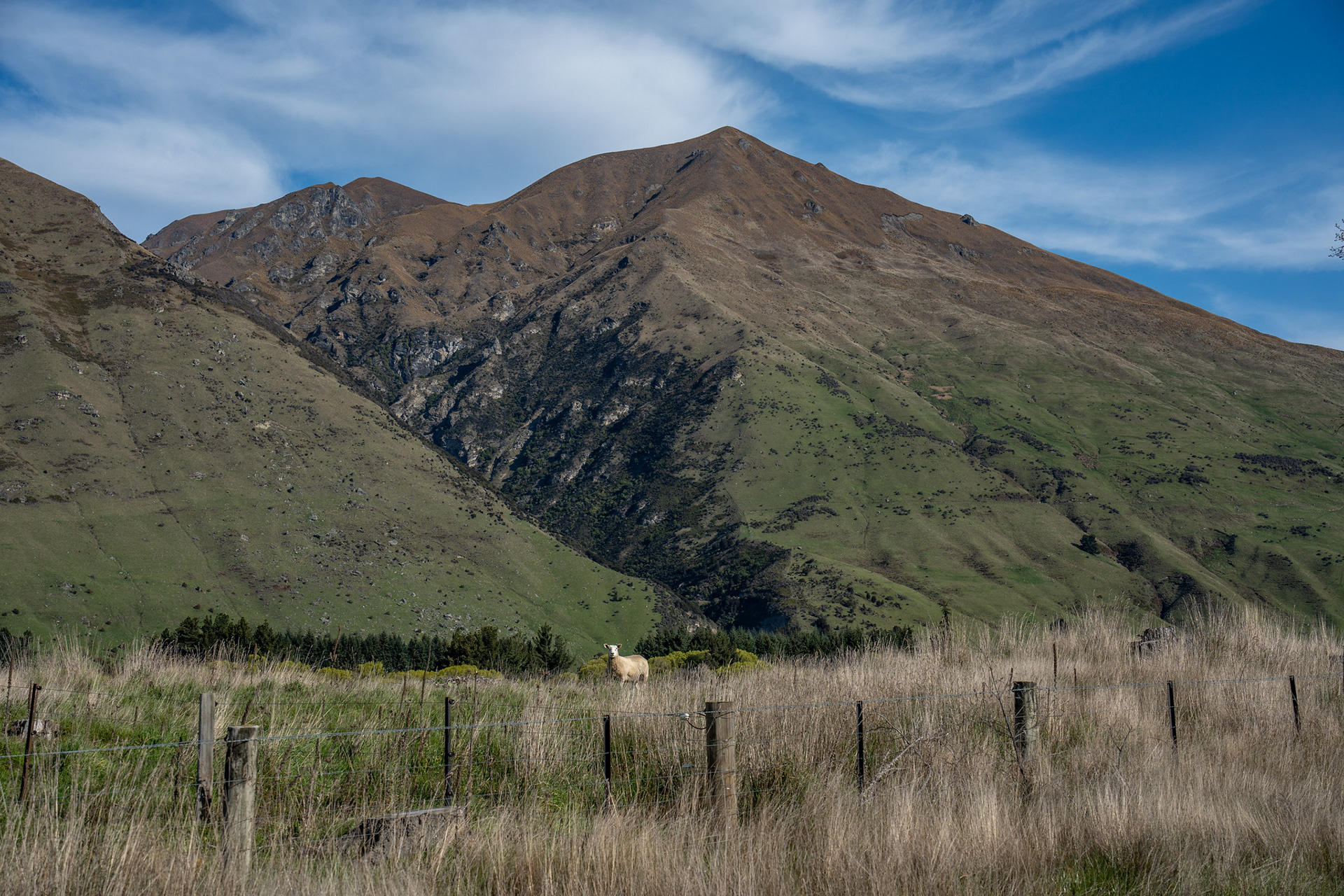
Admiring a guardian sheep.
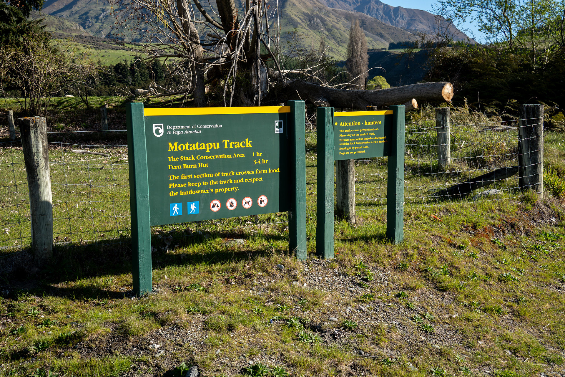
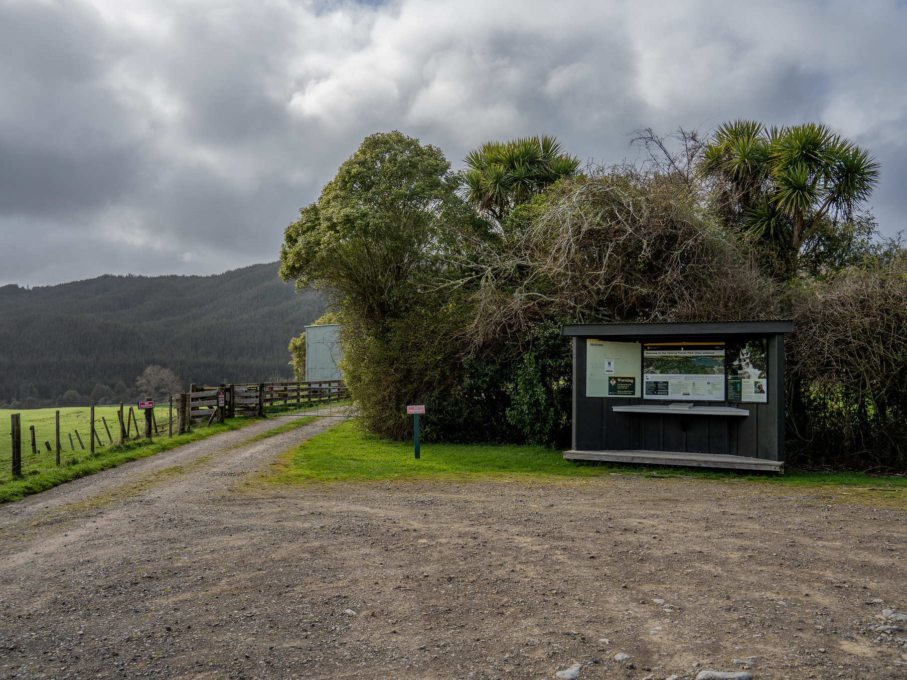
The DOC signage at the start of the track.
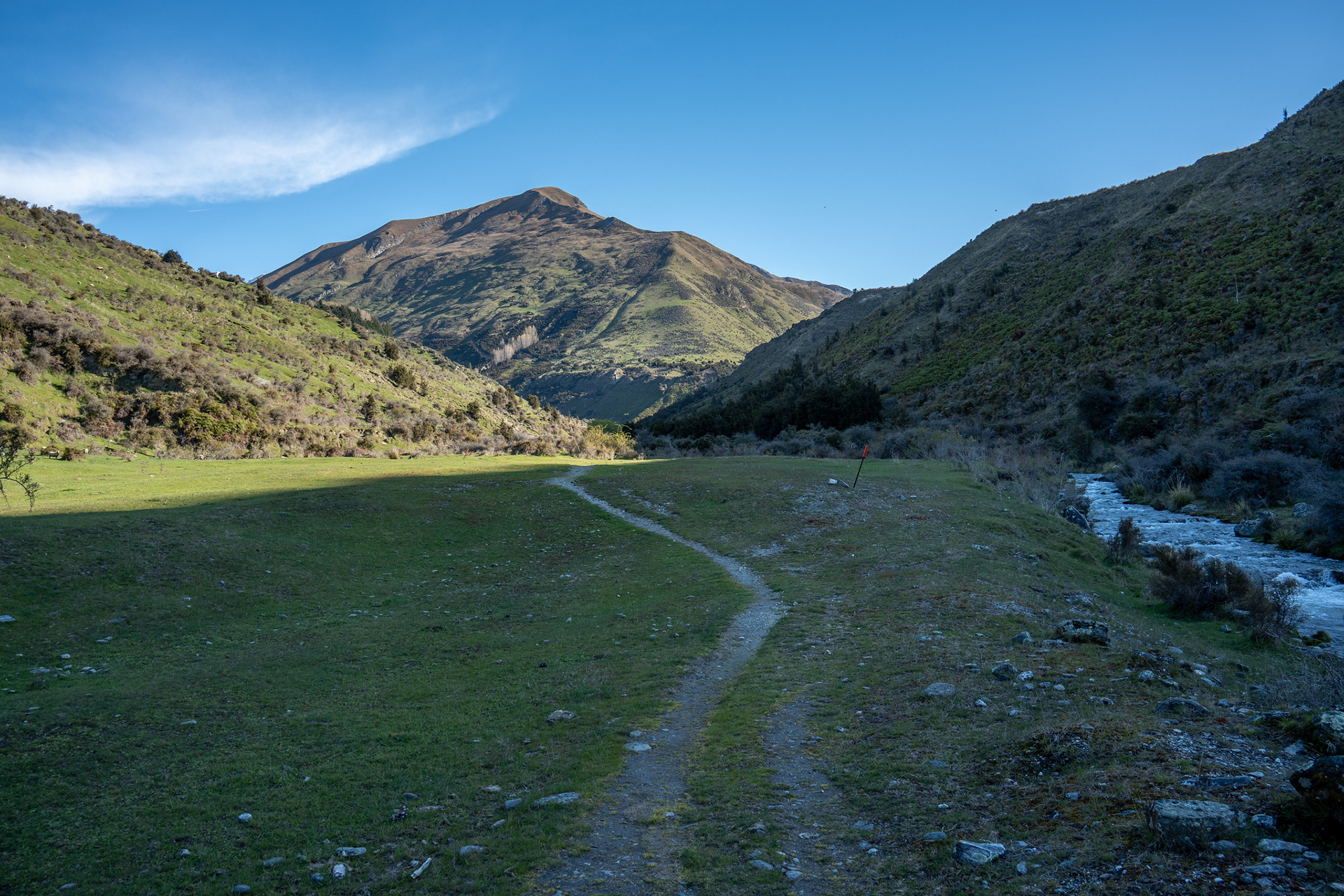
The initial pastoral sections of the track up Fern Burn.
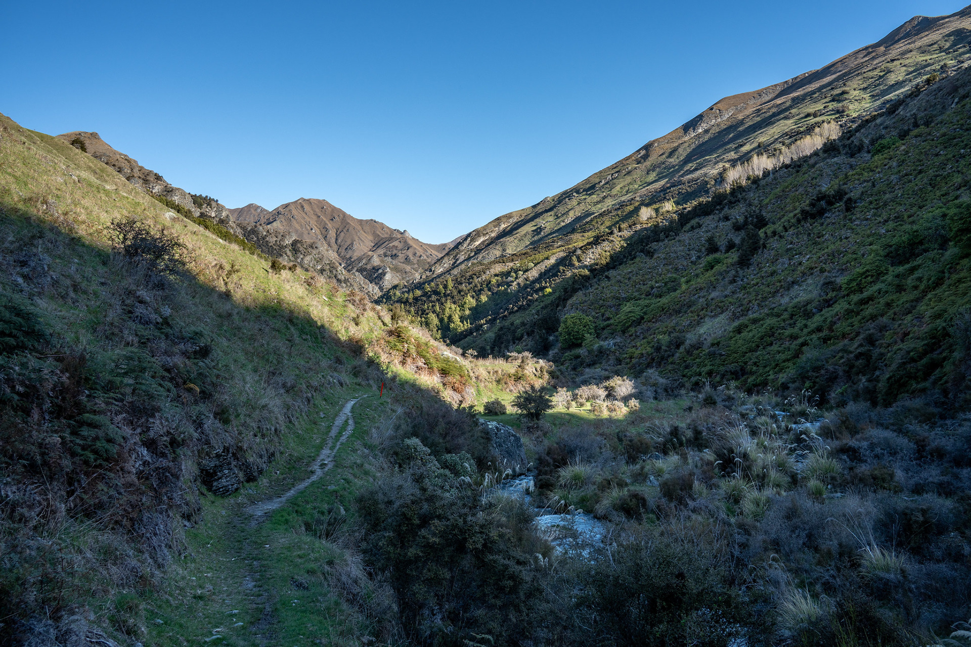
Still on the farmland, but starting to feel a bit more remote.
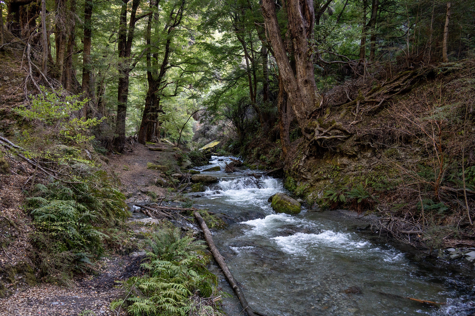
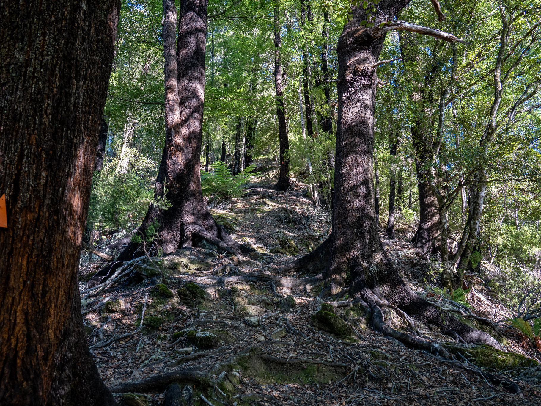
Passing into the Stack Conservation Area, with a little bit of canopy for a change.
There are some ups and downs on the track to get around riverside obstacles.
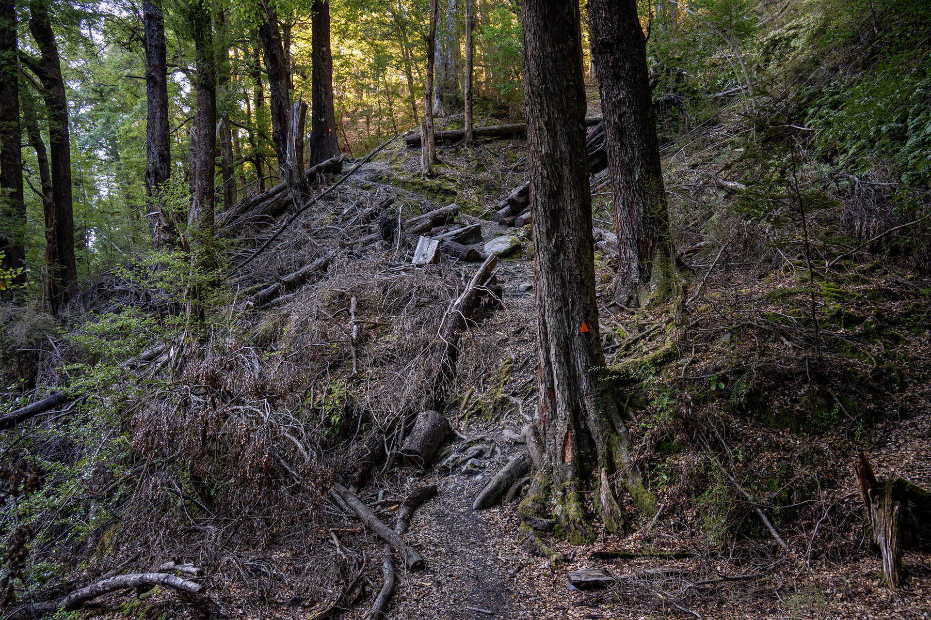
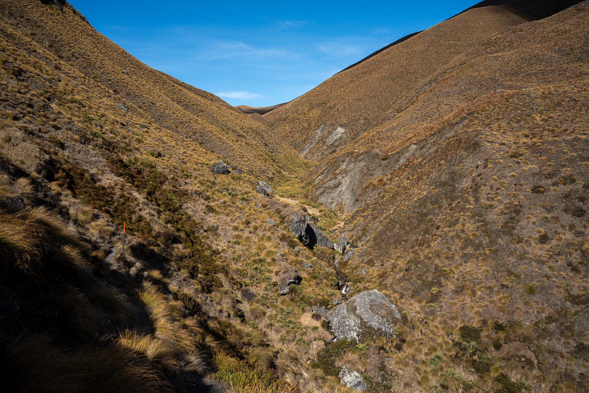
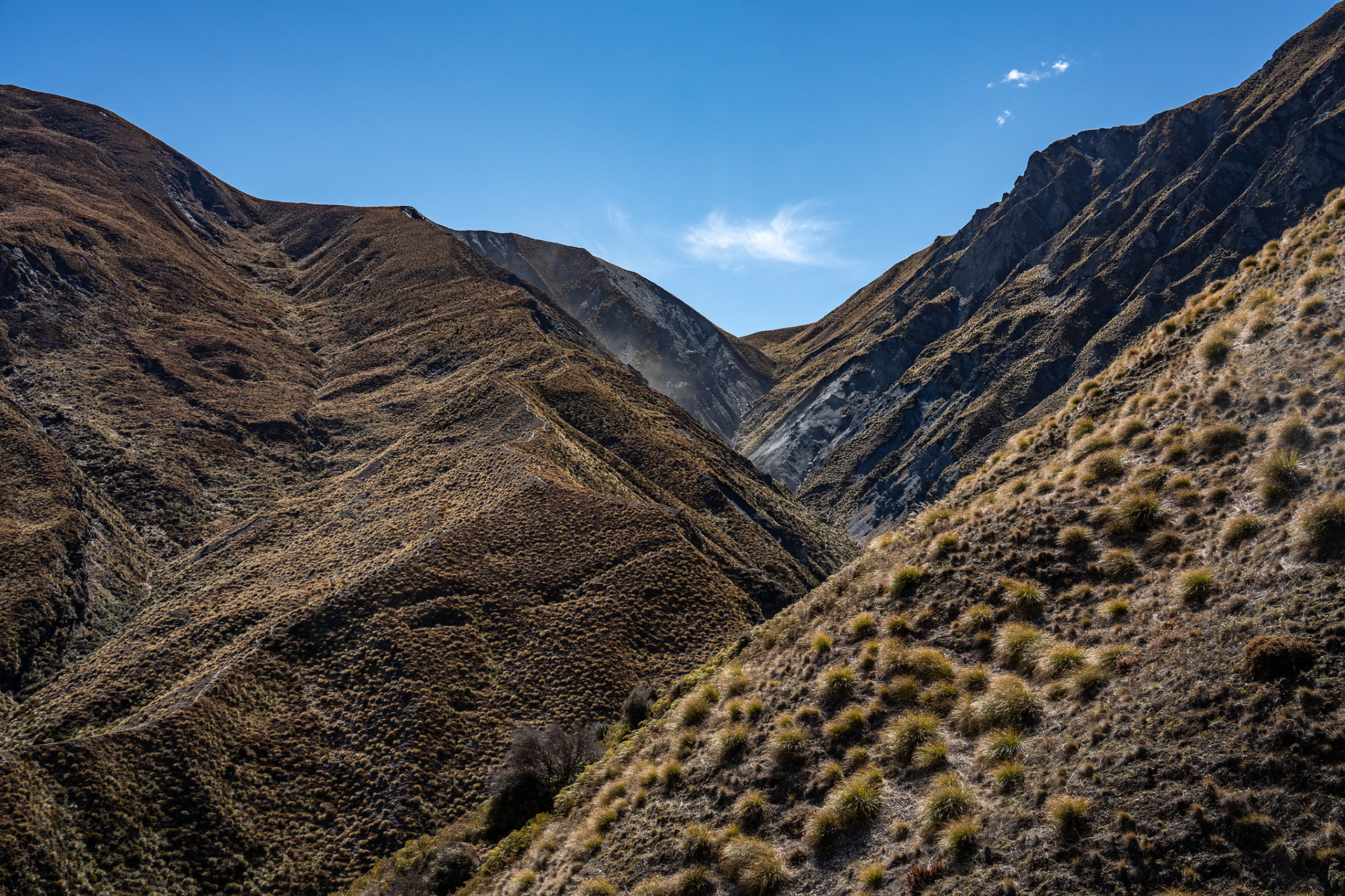
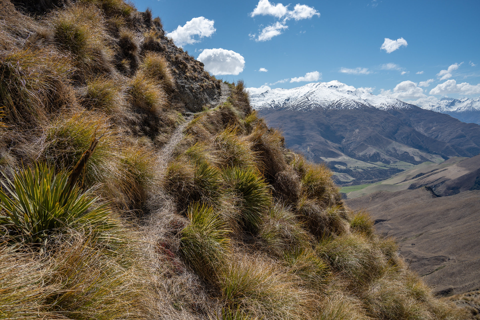
Into the upper sections of Fern Burn, lots of high sidling to avoid the steeper bits lower down.
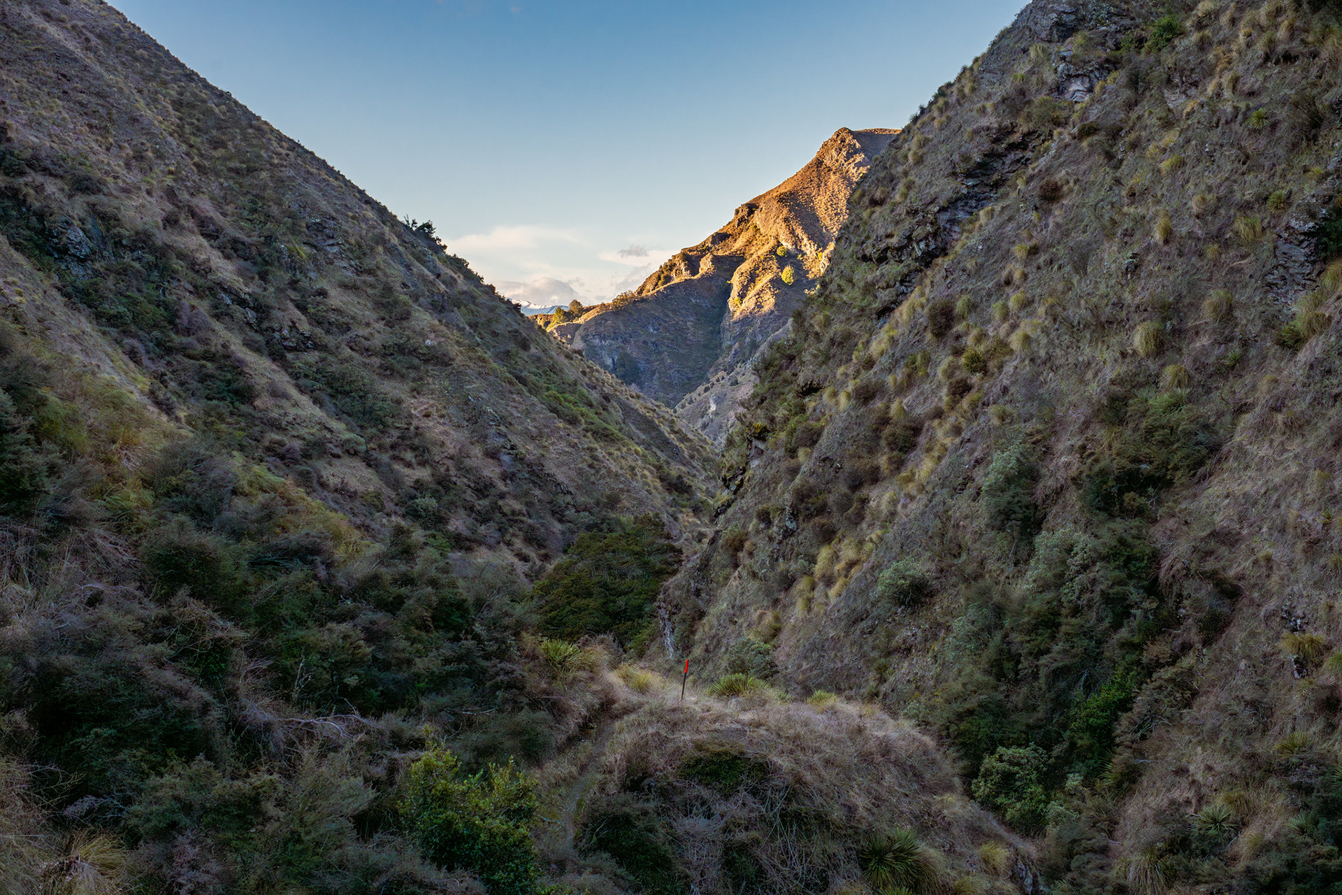
Back down the complex topography of Fern Burn.
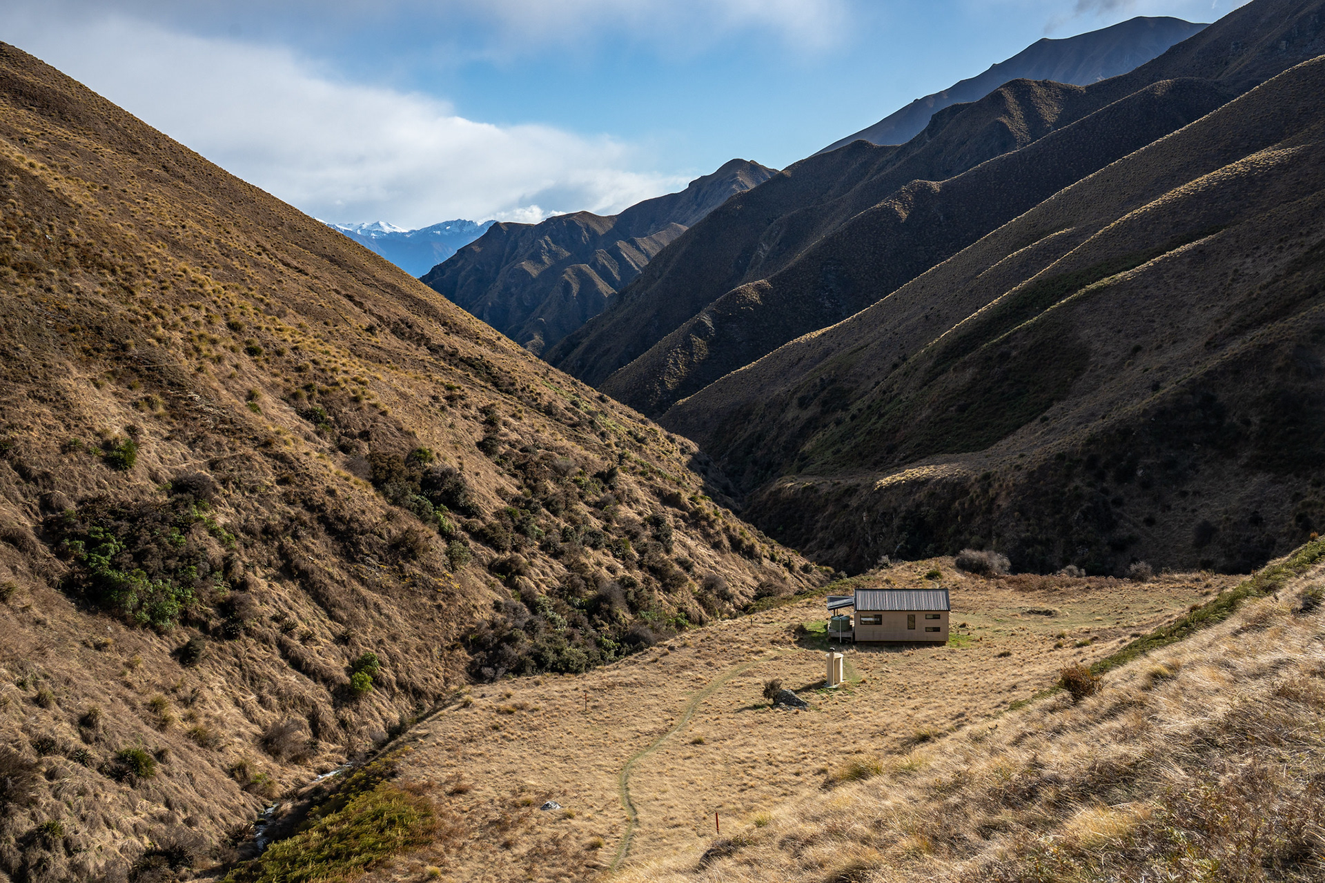
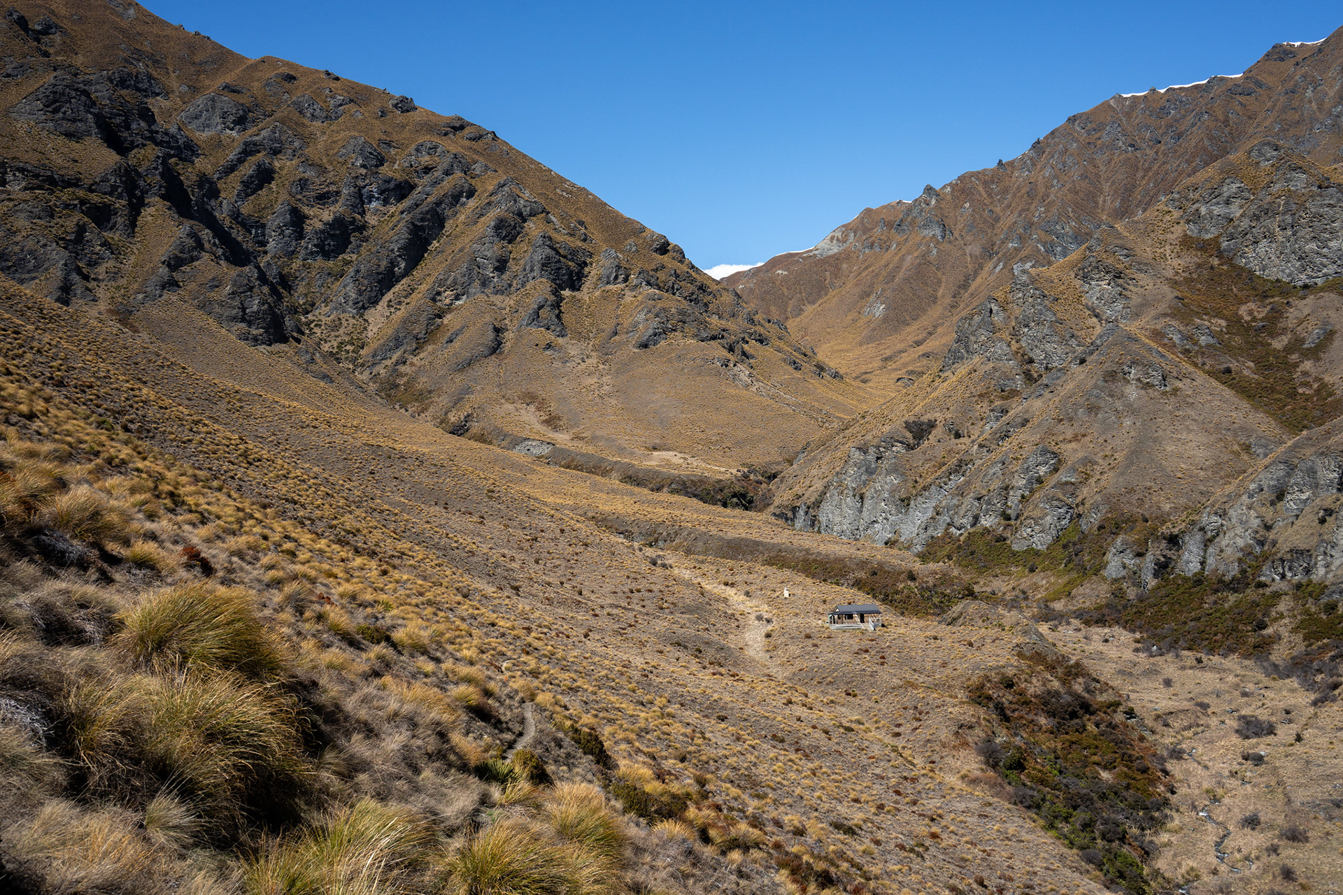
Fern Burn Hut coming into view.
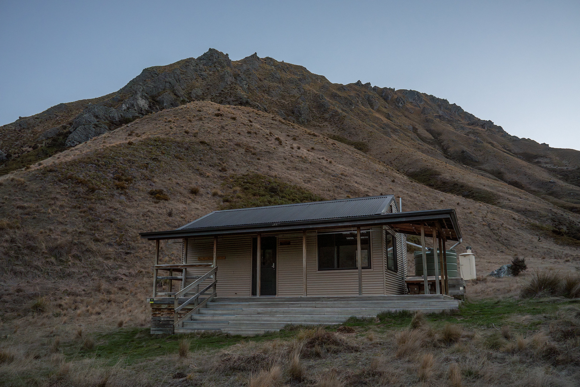
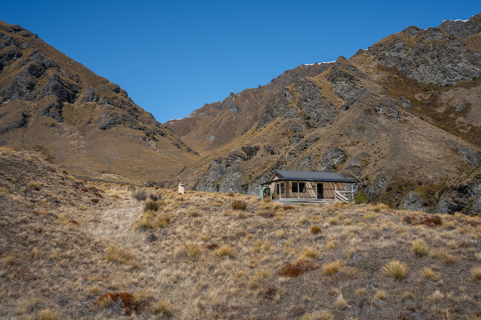
Fern Burn Hut in the evening light.
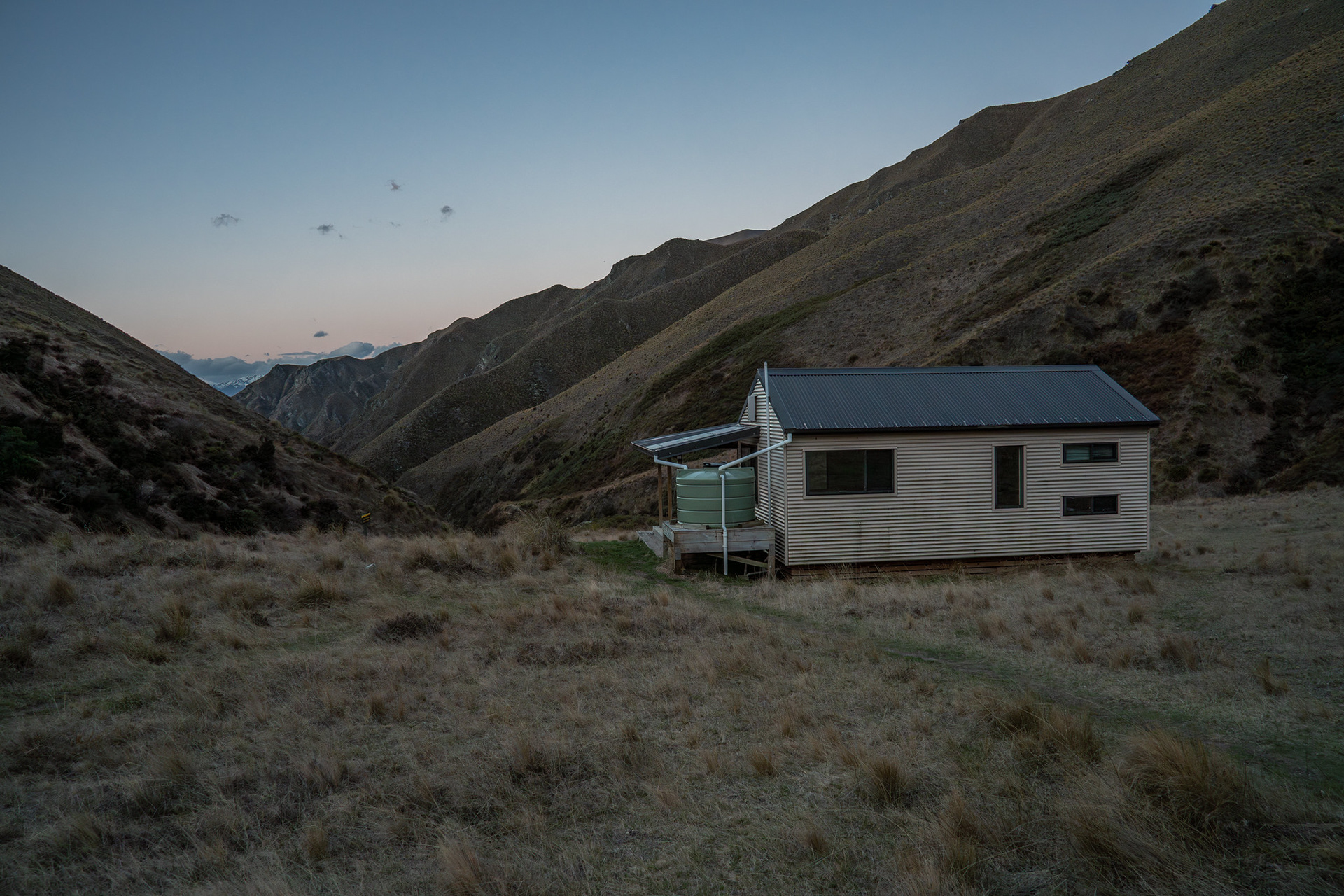
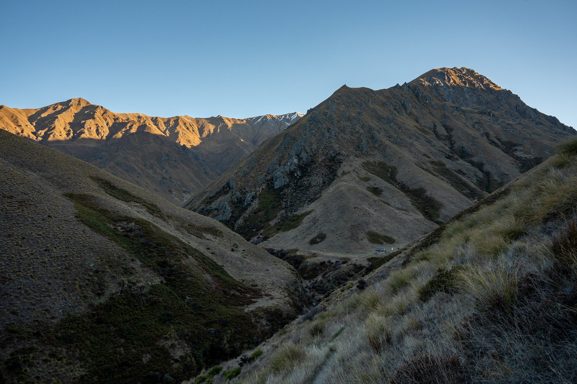
Fern Burn Hut and the view down Fern Burn itself.
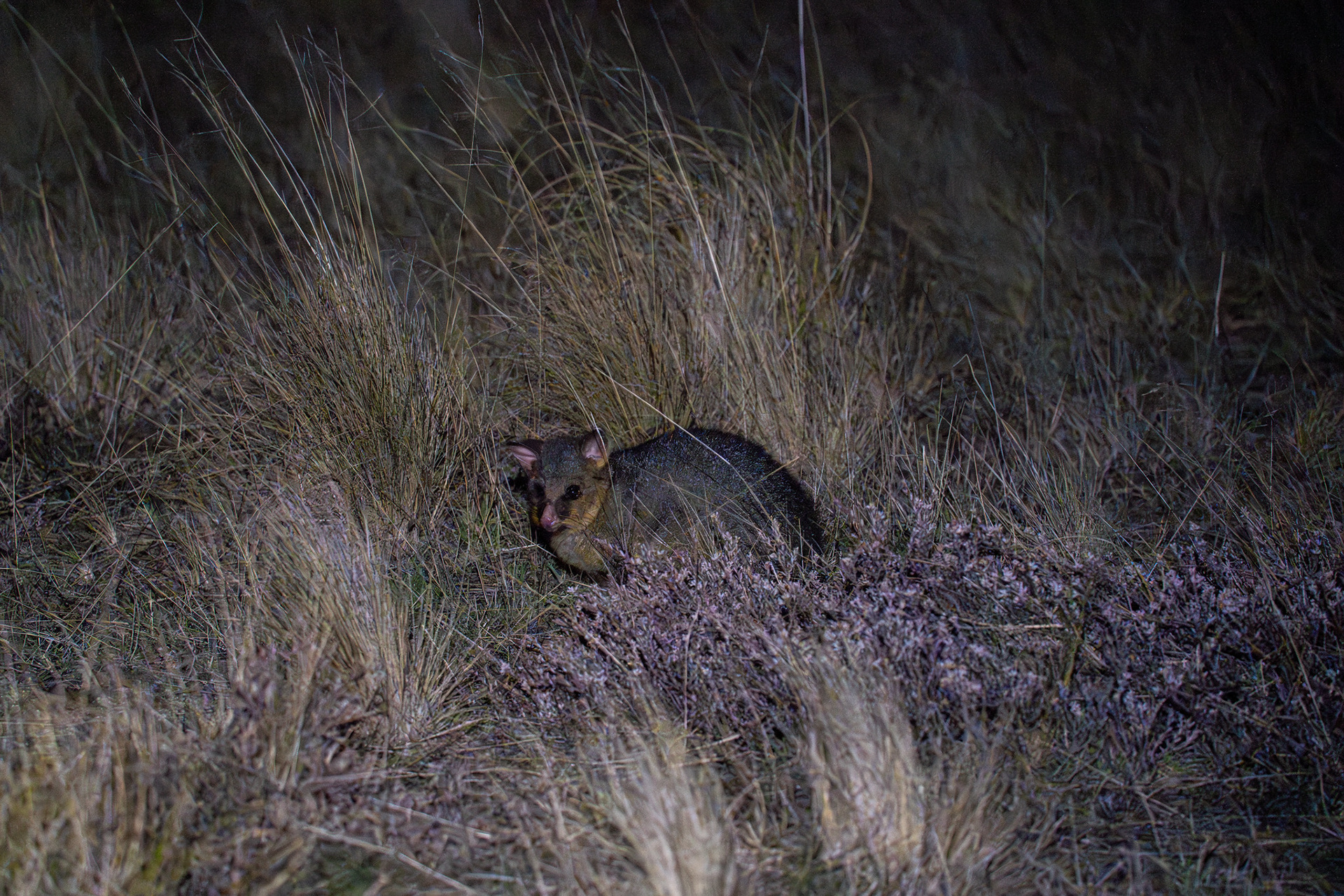
One of the night visitors.
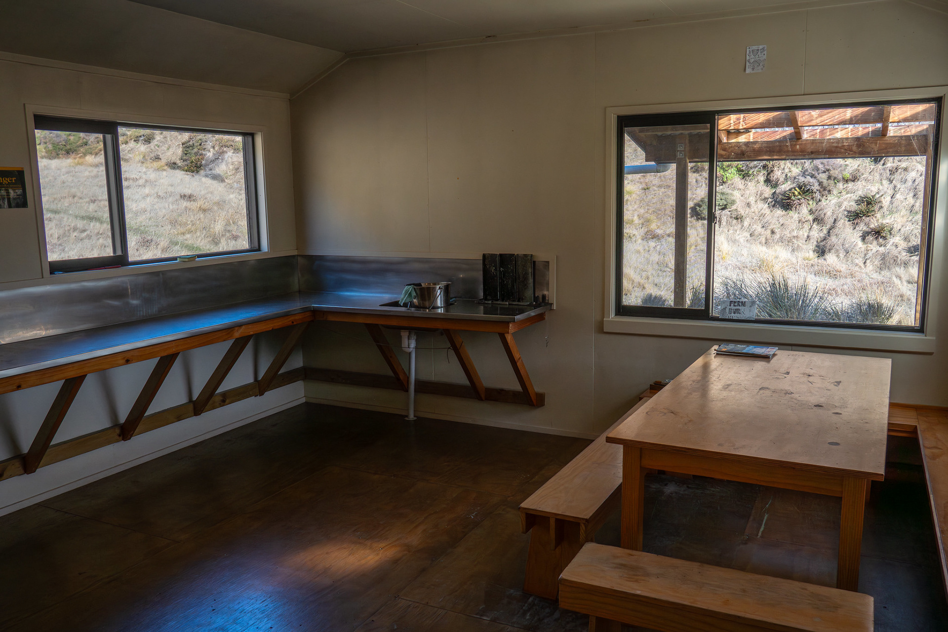
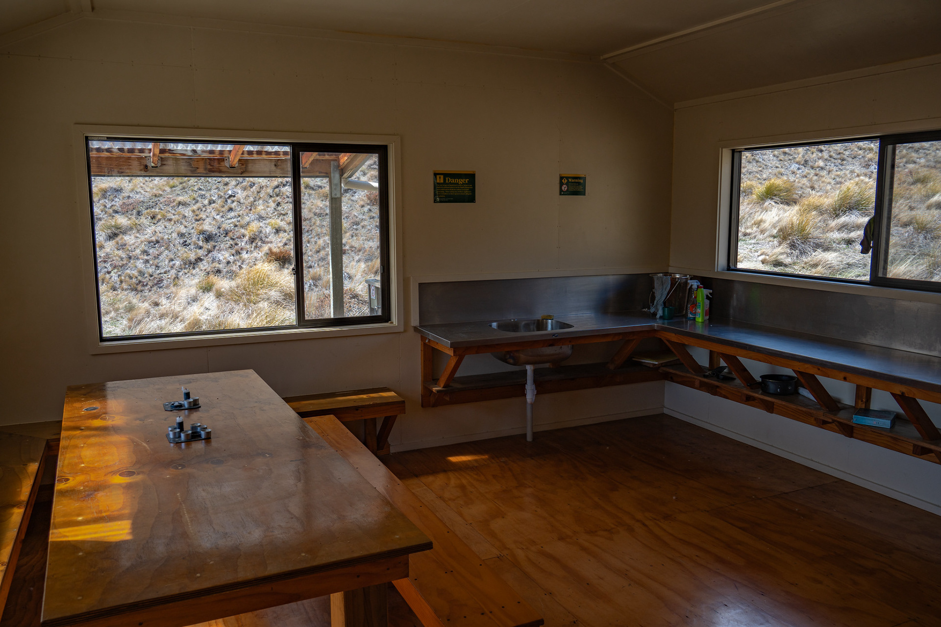
The communal area of Fern Burn Hut.
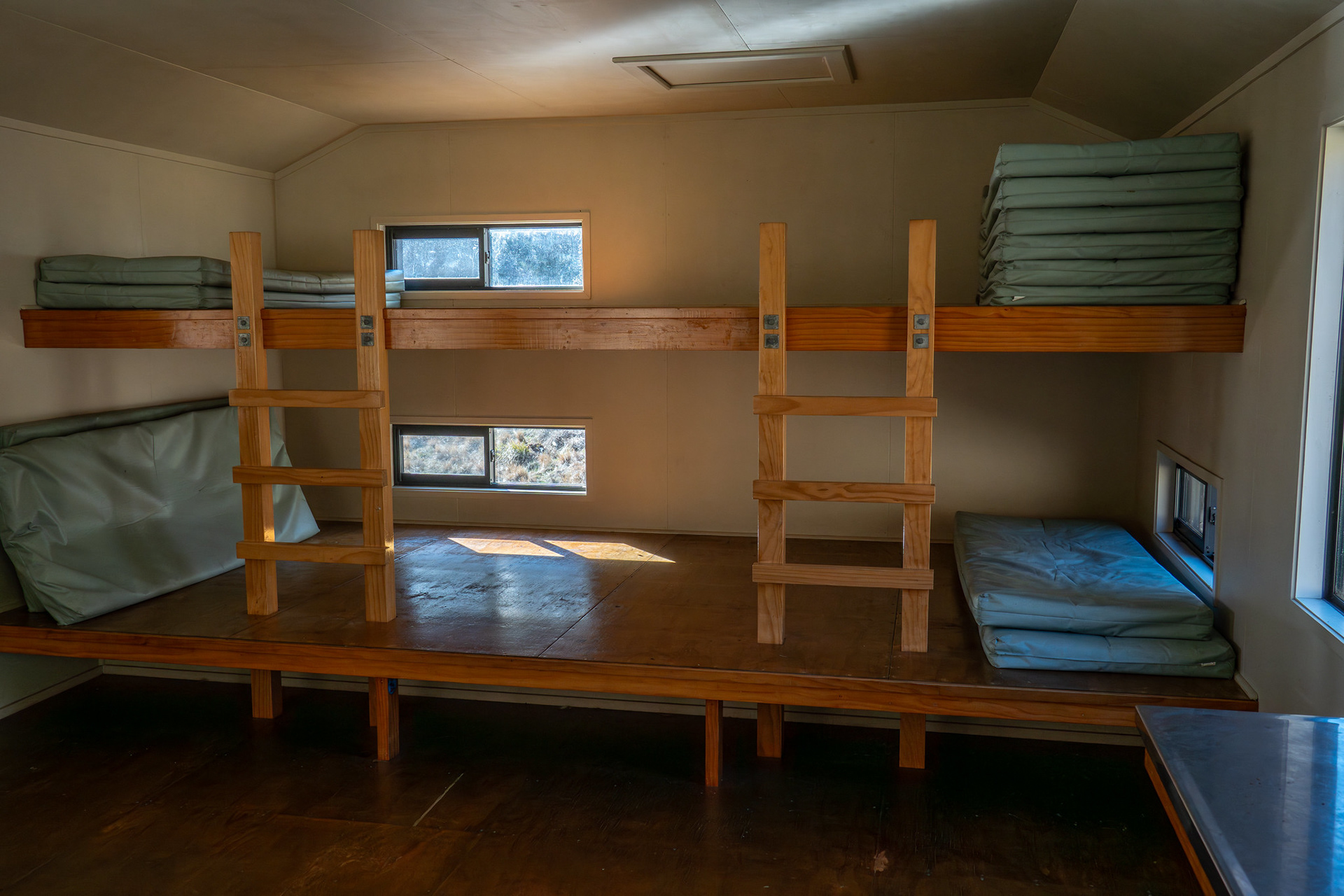
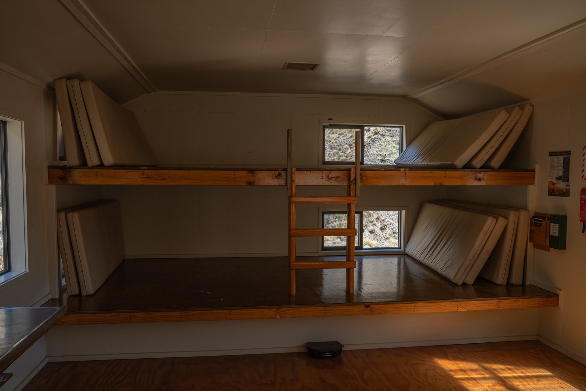
Bunk slats at Fern Burn Hut.
Looking back down on the hut at the start of Day 2.
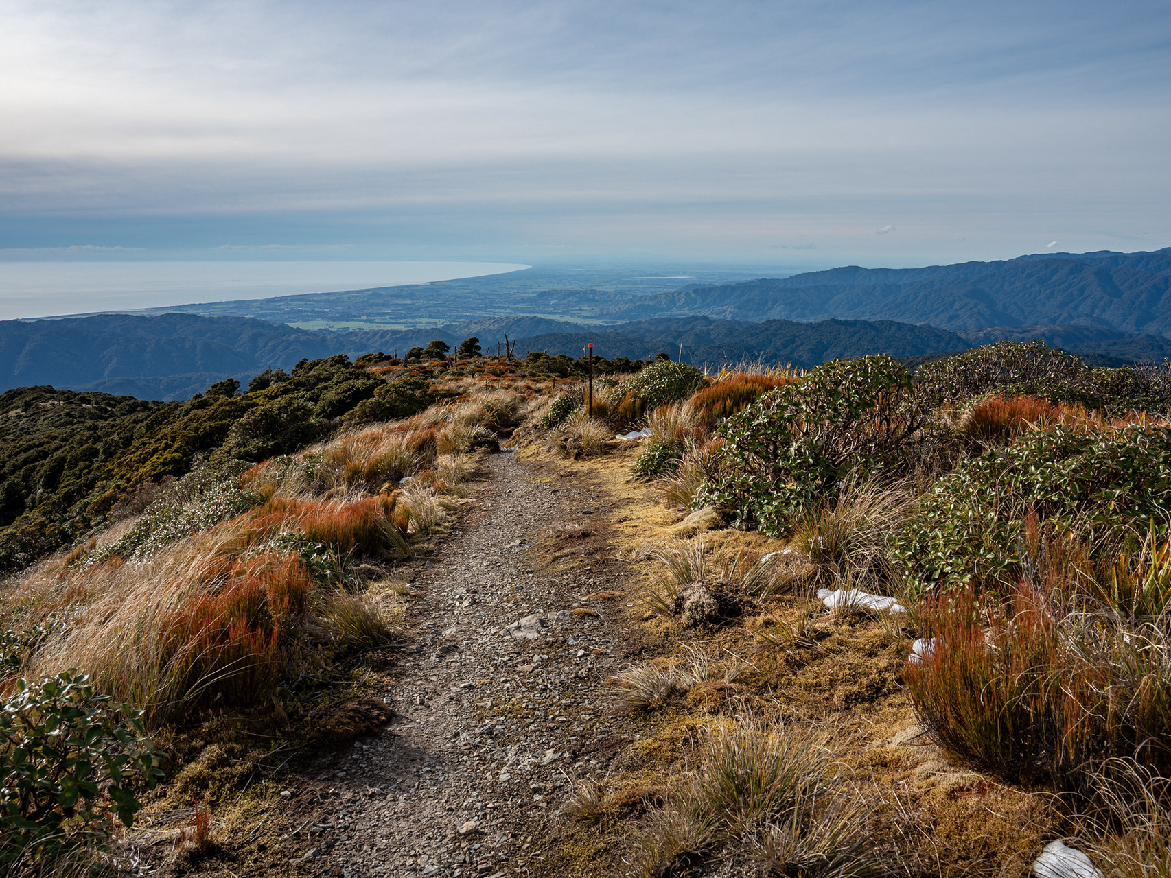
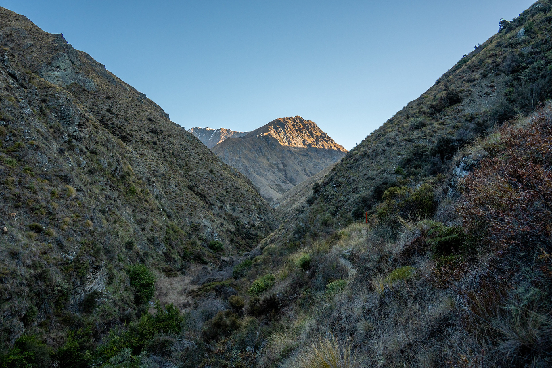
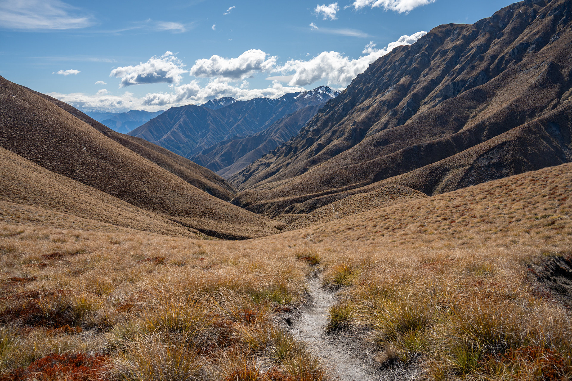
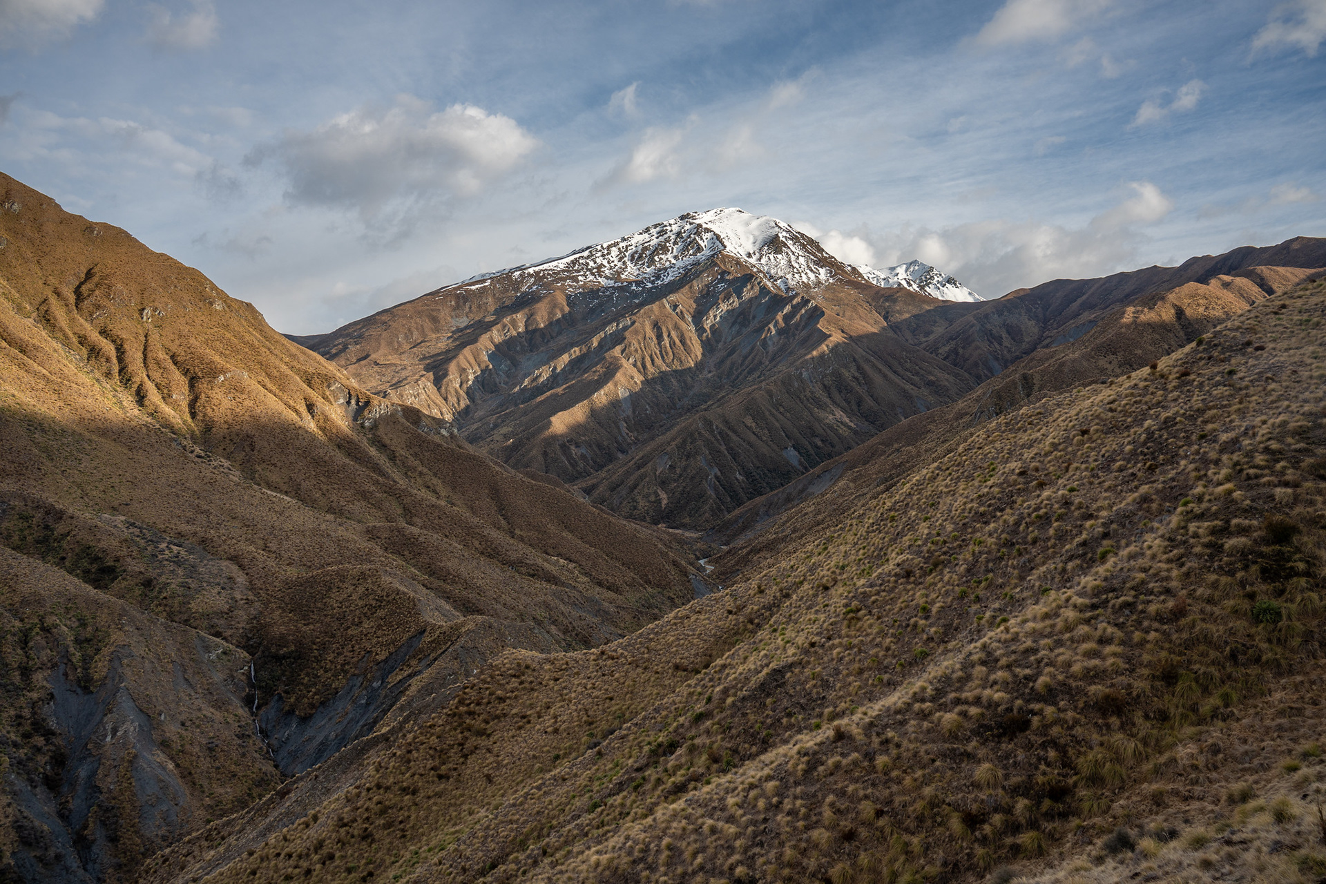
A view up towards Jack Hall's Saddle in the far distance.
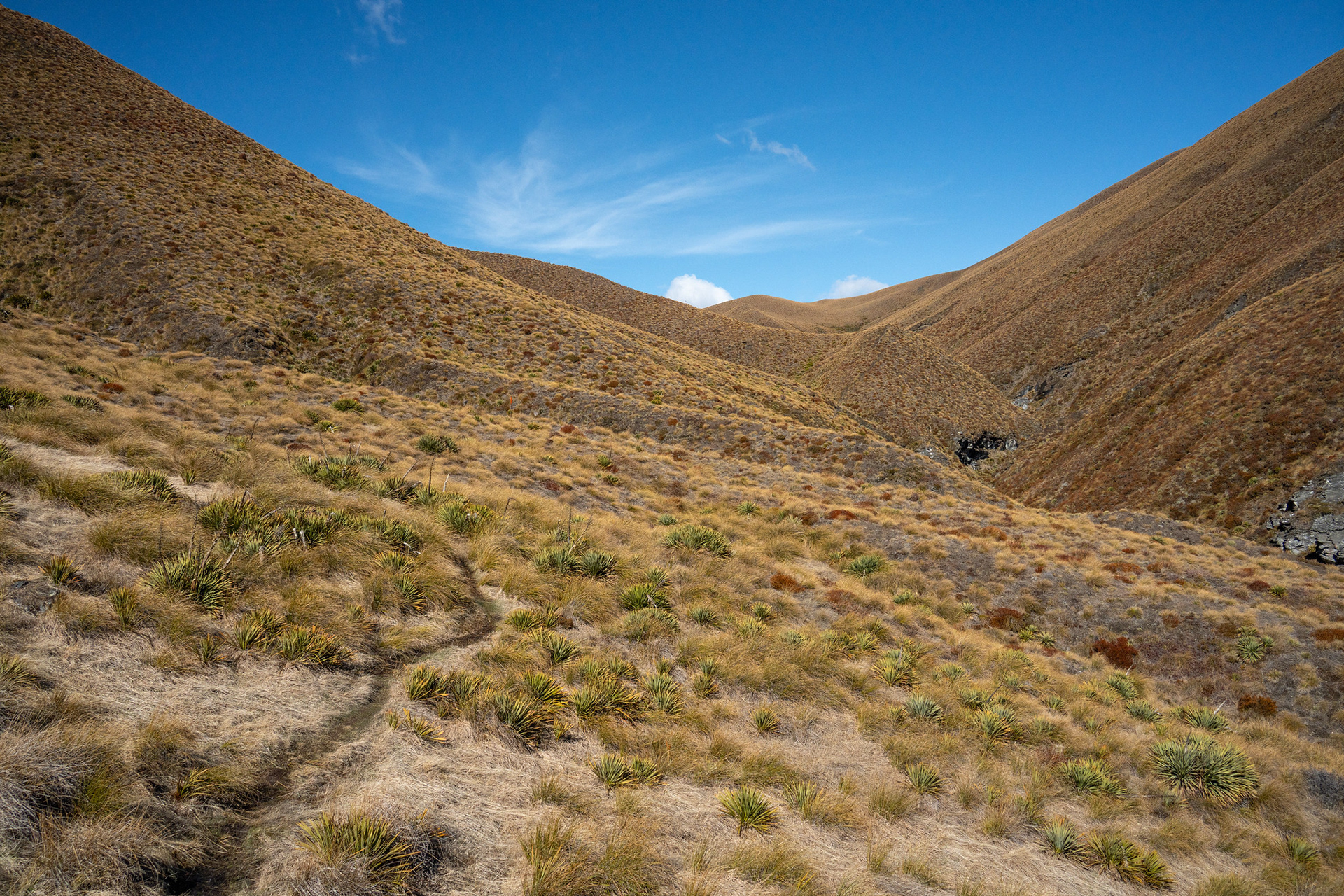
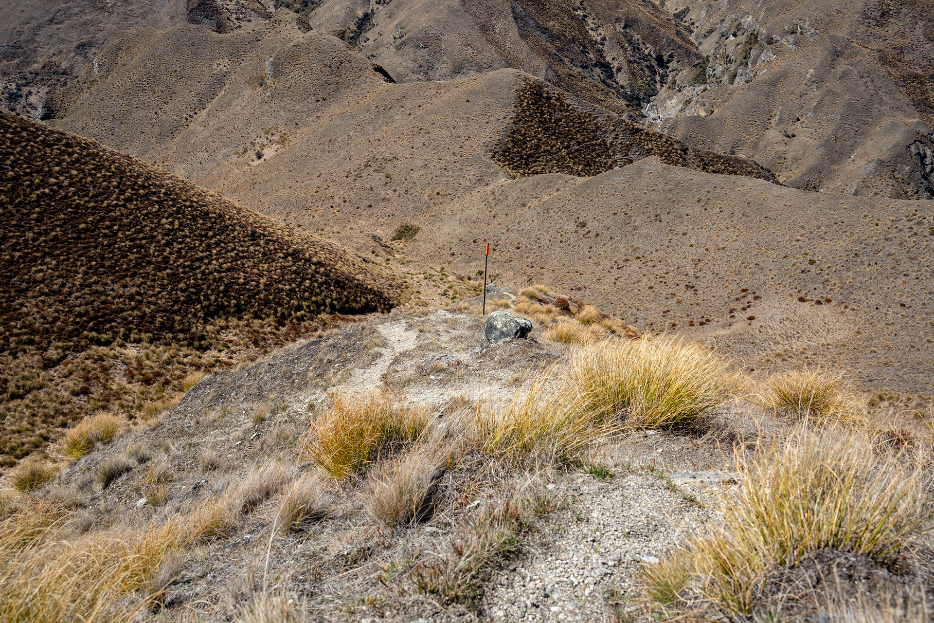
Easier ground now, the saddle getting a bit closer.
A view back from near the saddle.
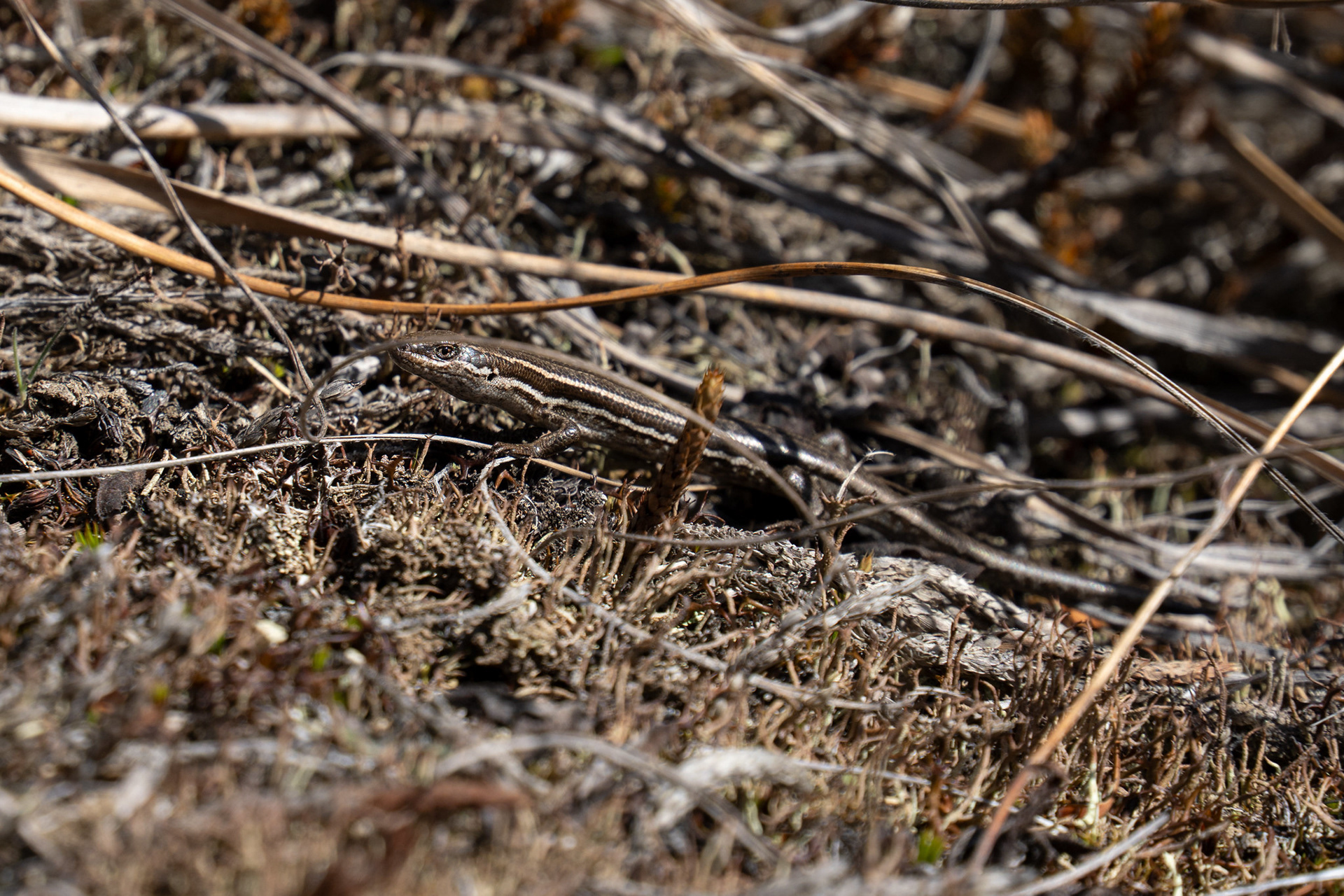
One of the resident skinks.
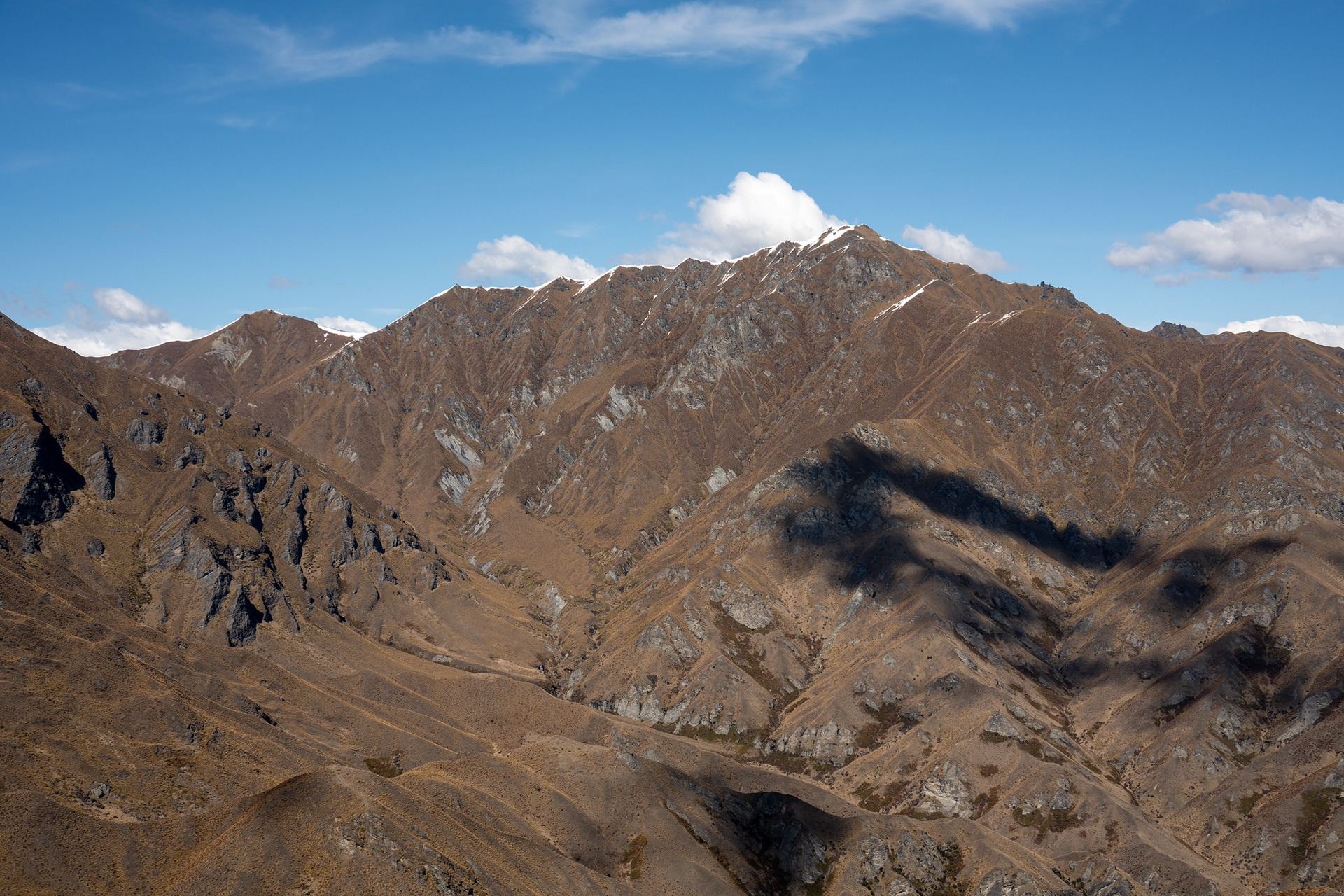
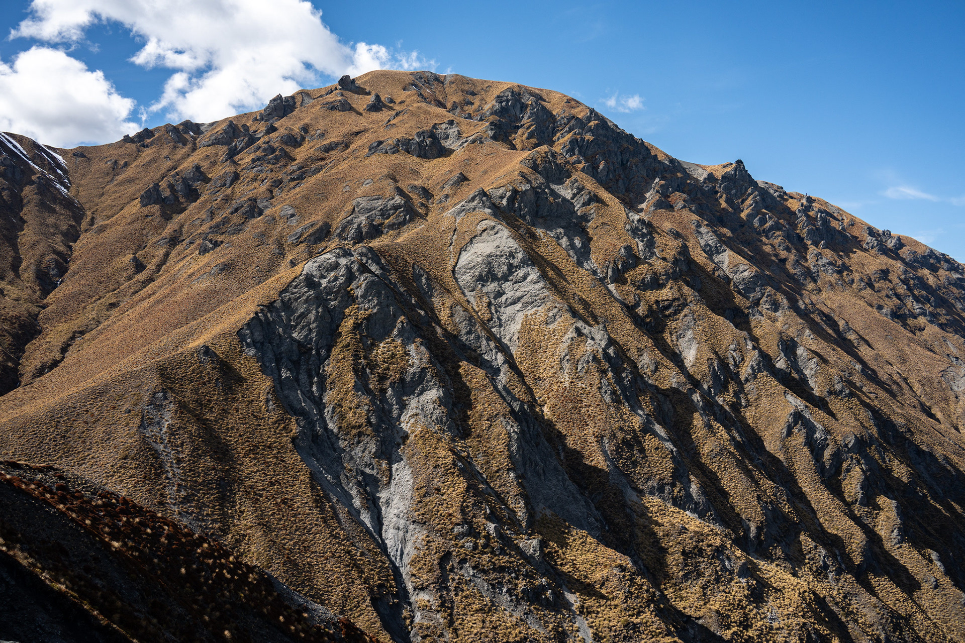
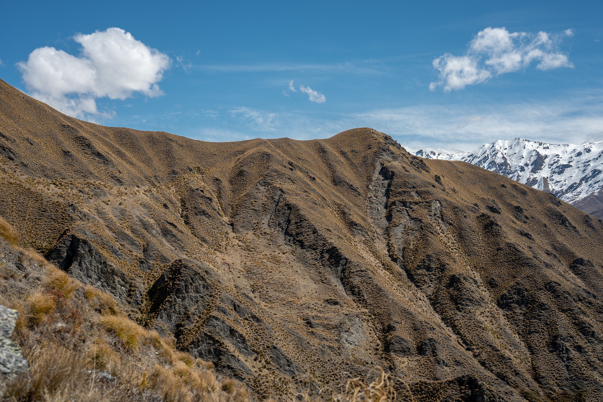
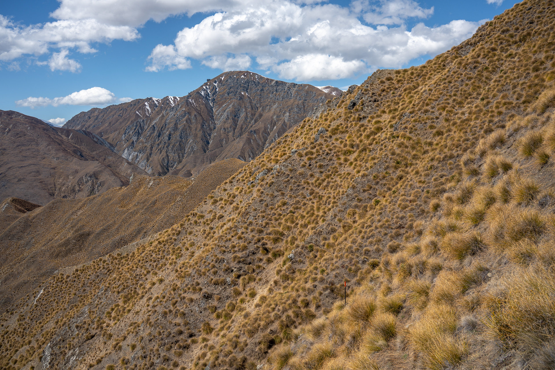
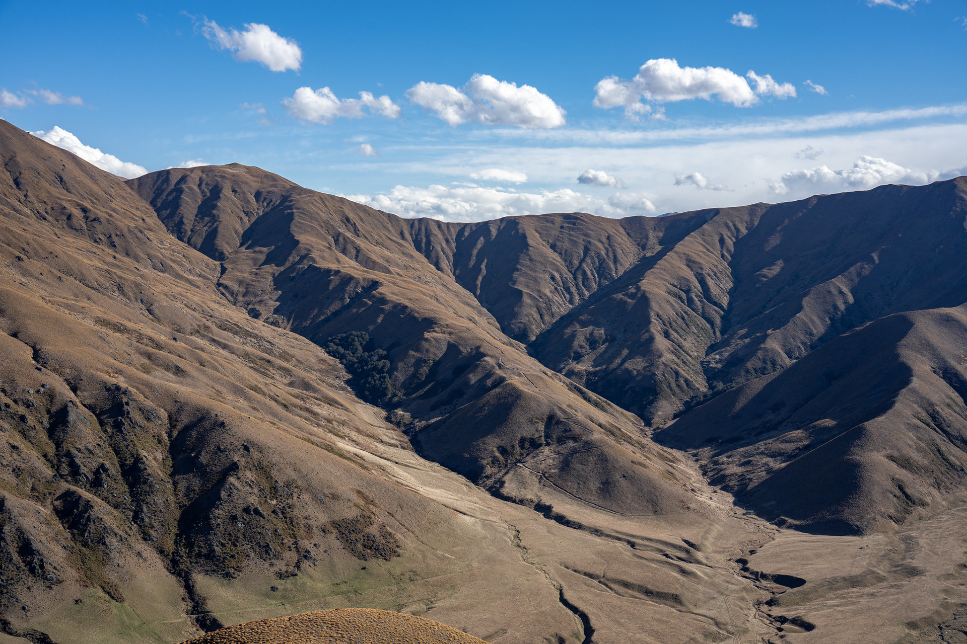
A view of Knuckle Peak and its litany of radiating spurs.
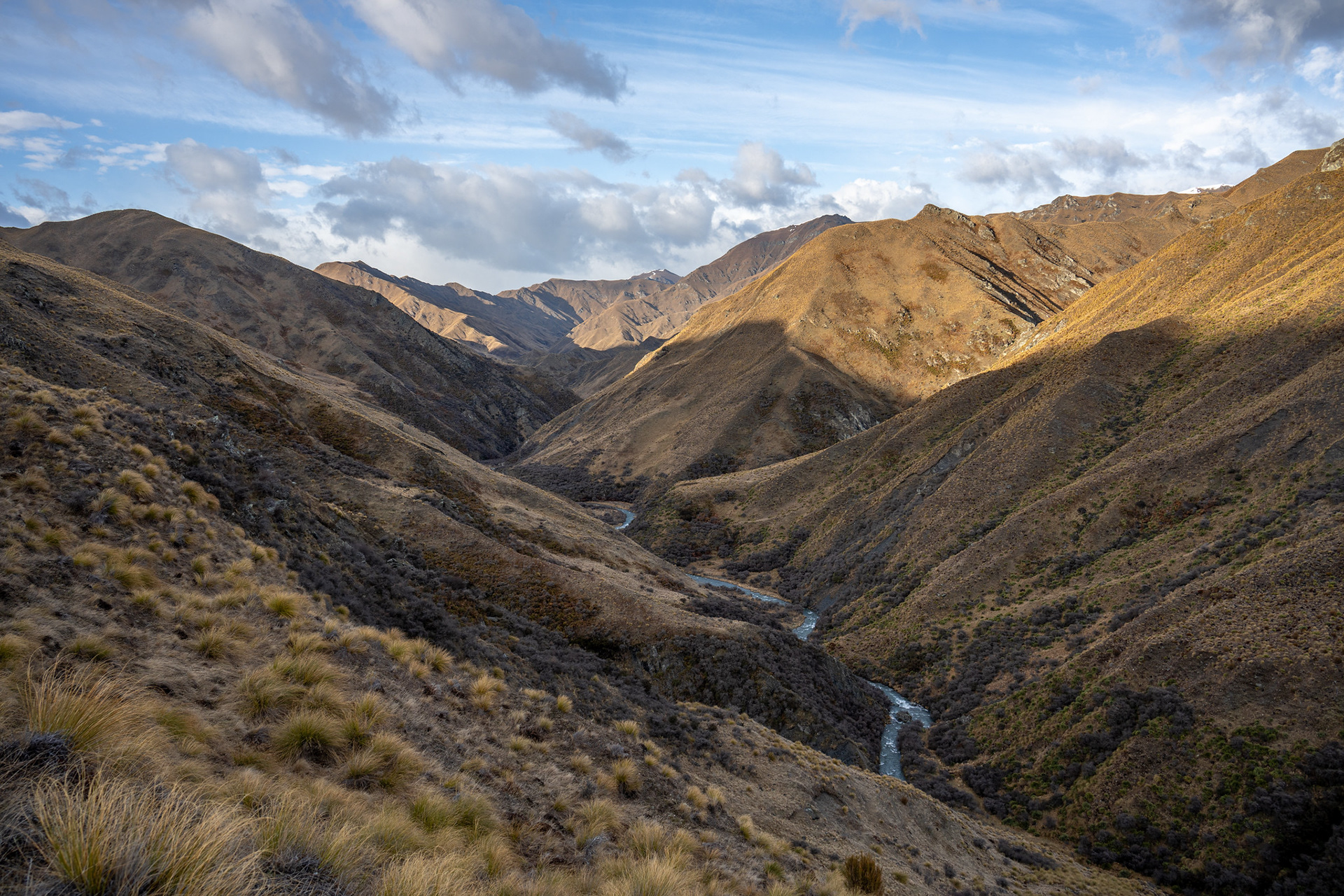
Back down Fern Burn as I leave the catchment.
The slip on the other side of the saddle which prohibits the lower crossing.
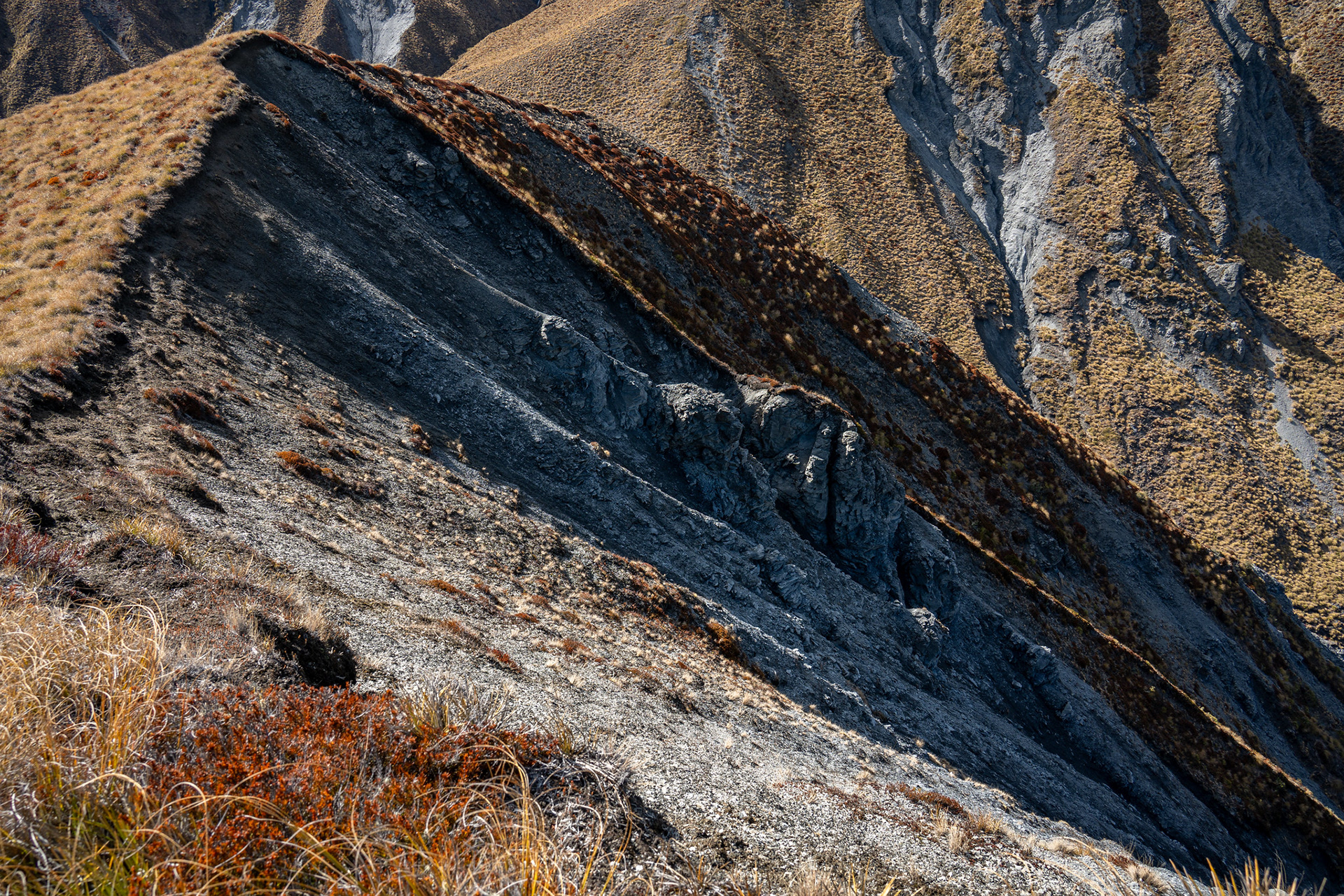
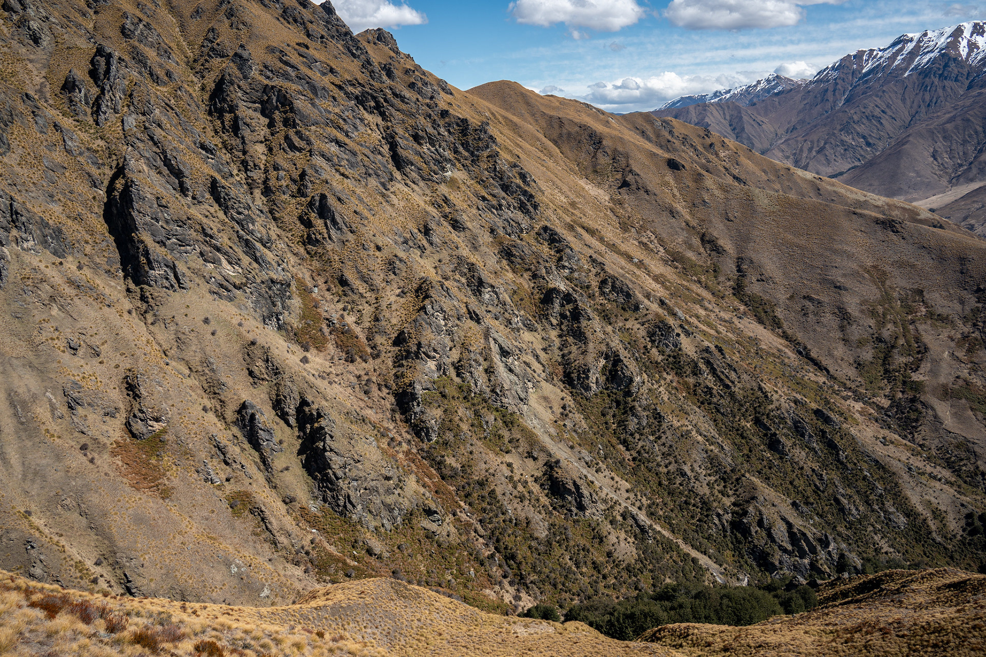
A view up to the bounding ridge, interesting rockwork.
Looking back up to the saddle, with the track visible centre left.
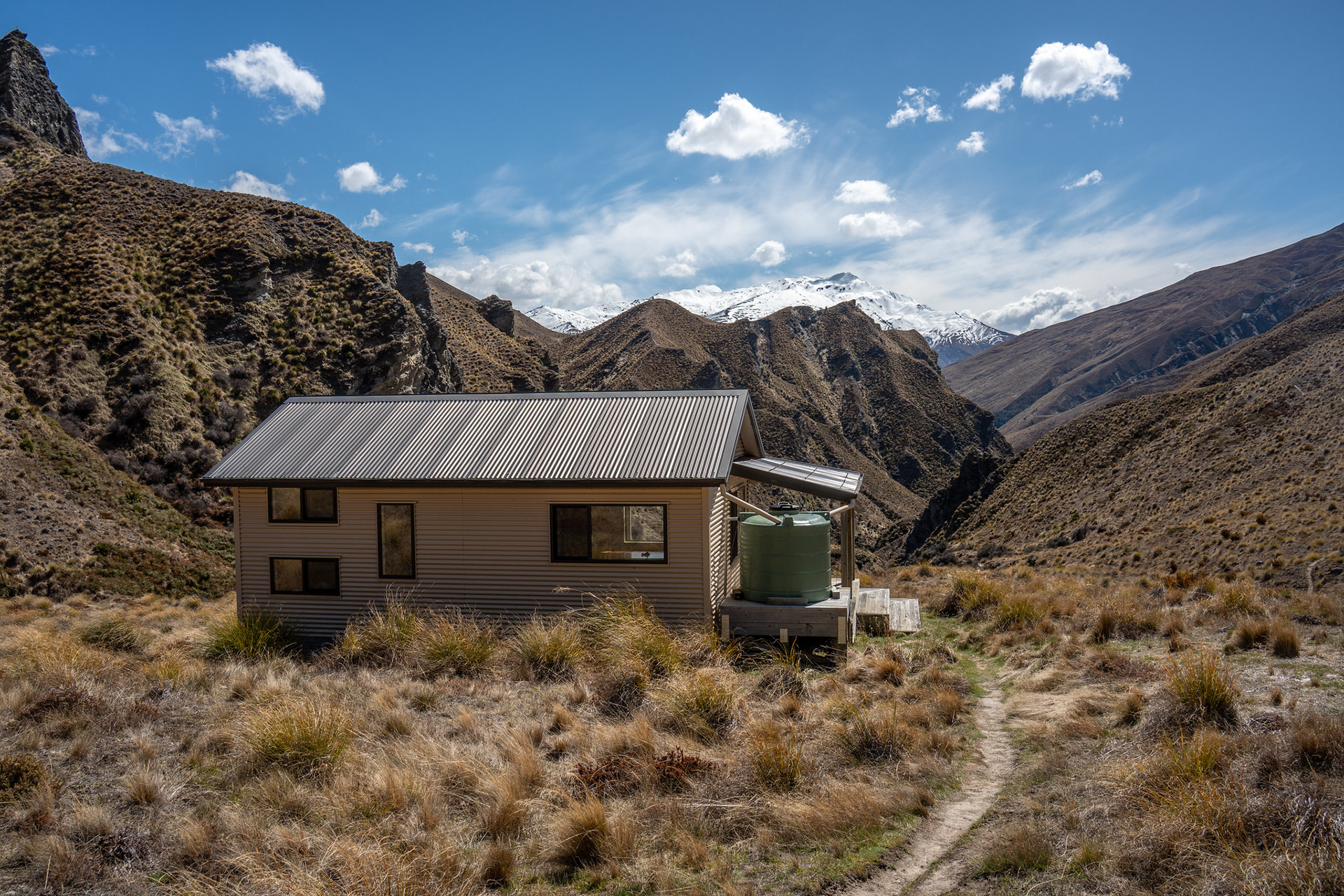
Dropping to Highland Creek Hut.
Highland Creek Hut in its basin.
The view with its awkward topography beyond, End Peak in the distance.
Communal area of Highland Creek Hut.
Sleeping quarters for Highland Creek Hut.

One of the steeper bits of spur to climb, soon after leaving the hut.
Looking back down another spur, hot work despite the high winds.
The approach to the sidle, which runs across the left-hand half of the visible face.
Sidling the face, good travel albeit narrow in places.
A look back across the sidle.
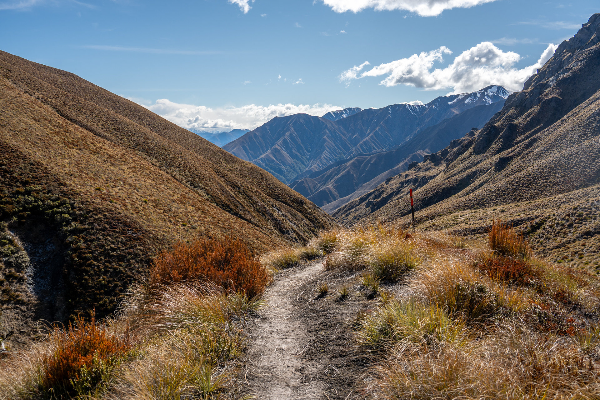
Descending for a bit before turning left, the Motatapu peaks in the distance.
Dropping into the beech gully, the route then climbs onto the right hand spur crest and crosses behind the outcrop studded face.
The first view of Roses Hut, in the bottom right corner just left of the far-right spur.

Roses Hut sitting amongst its short grasses.
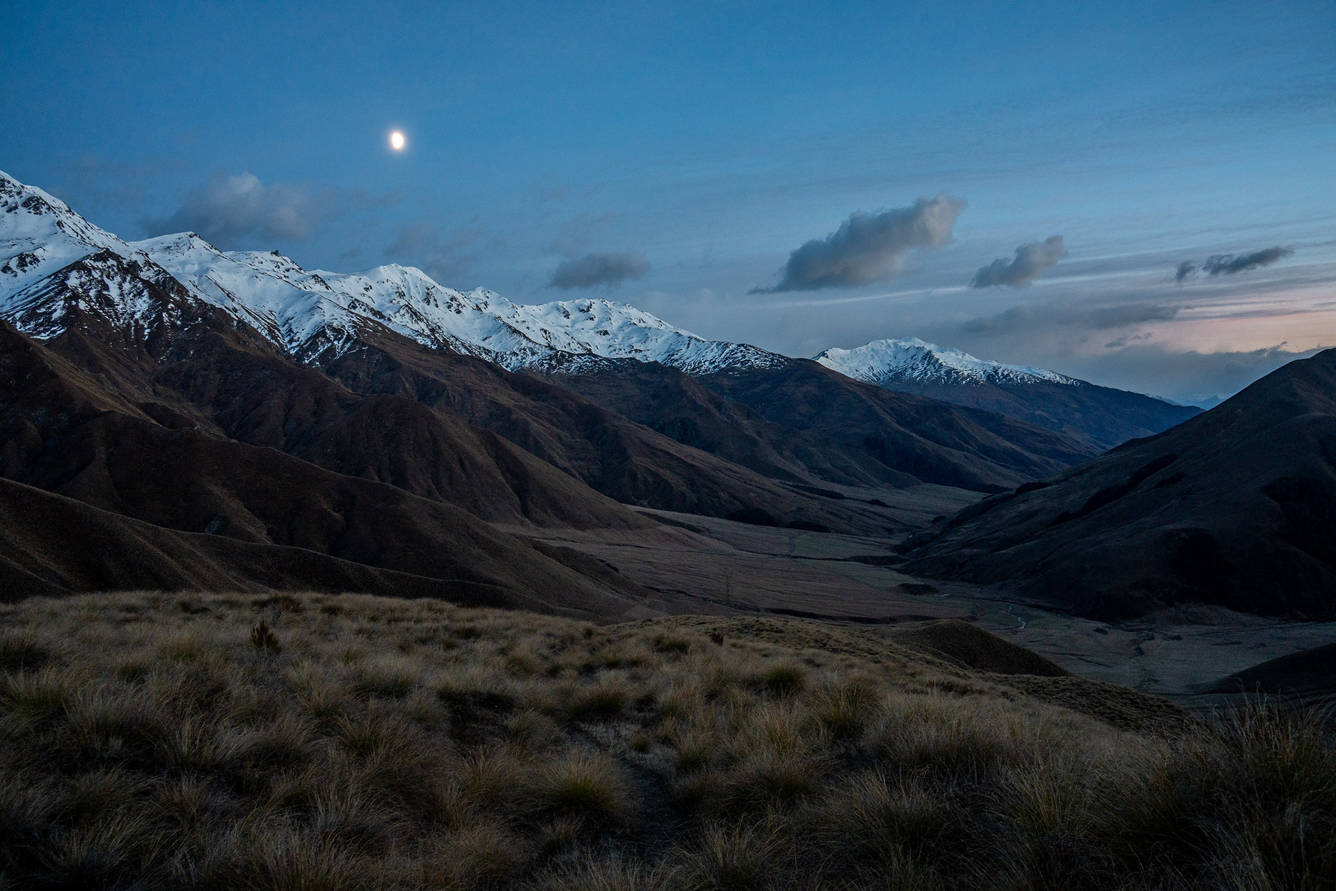
Looking back into the moonlit Motatapu.
The gradual climb up towards Roses Saddle.
Looking down the ascent spur as it snakes its way up.
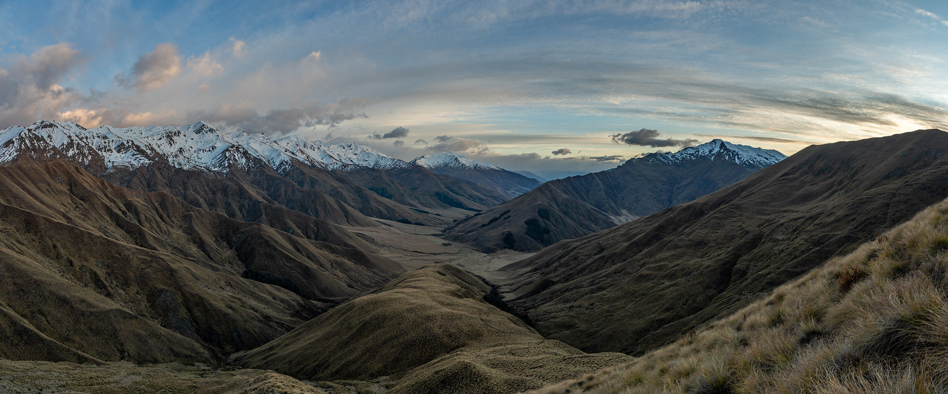
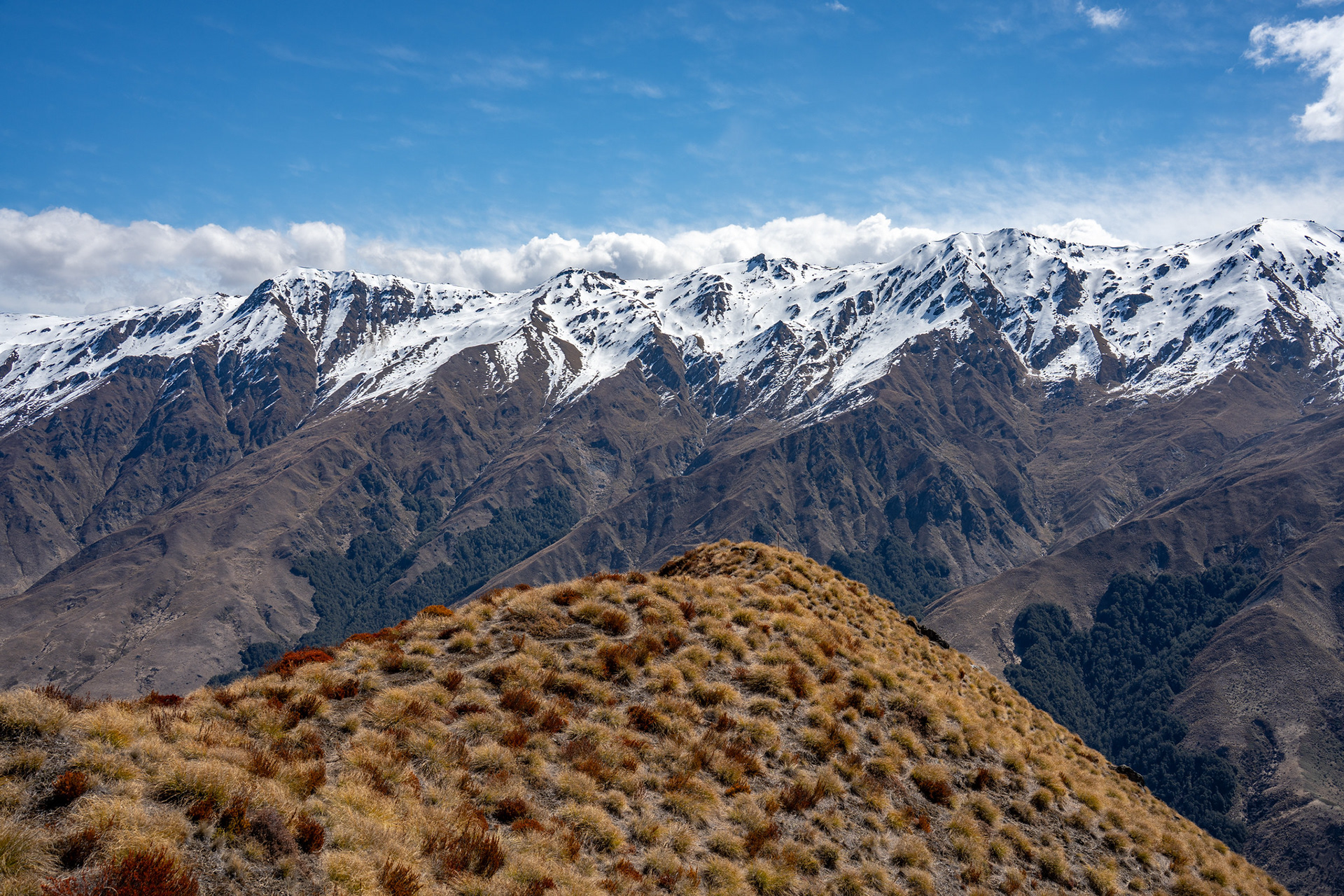
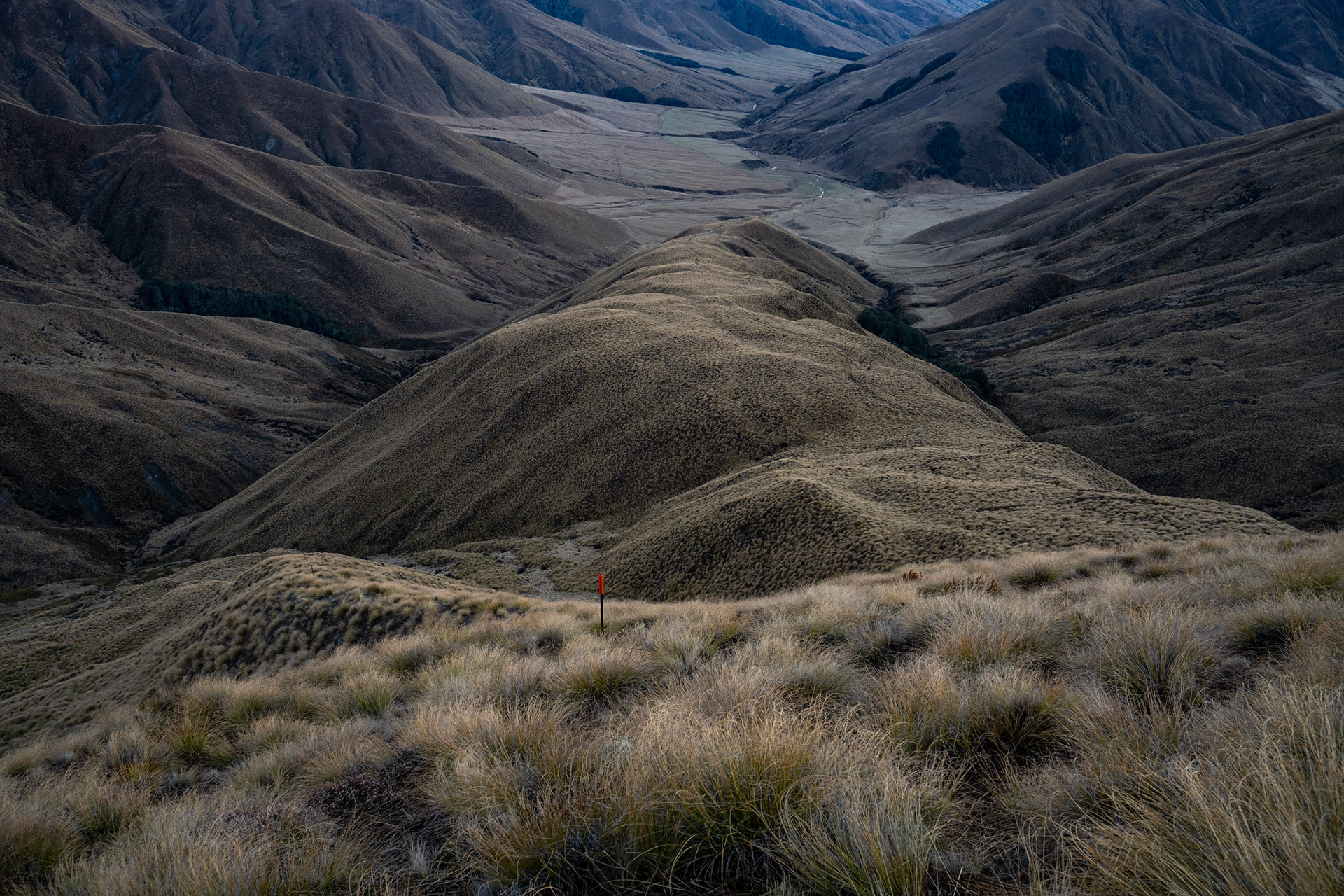
A wide angle view of the Motatapu region, Knuckle Peak on the right.
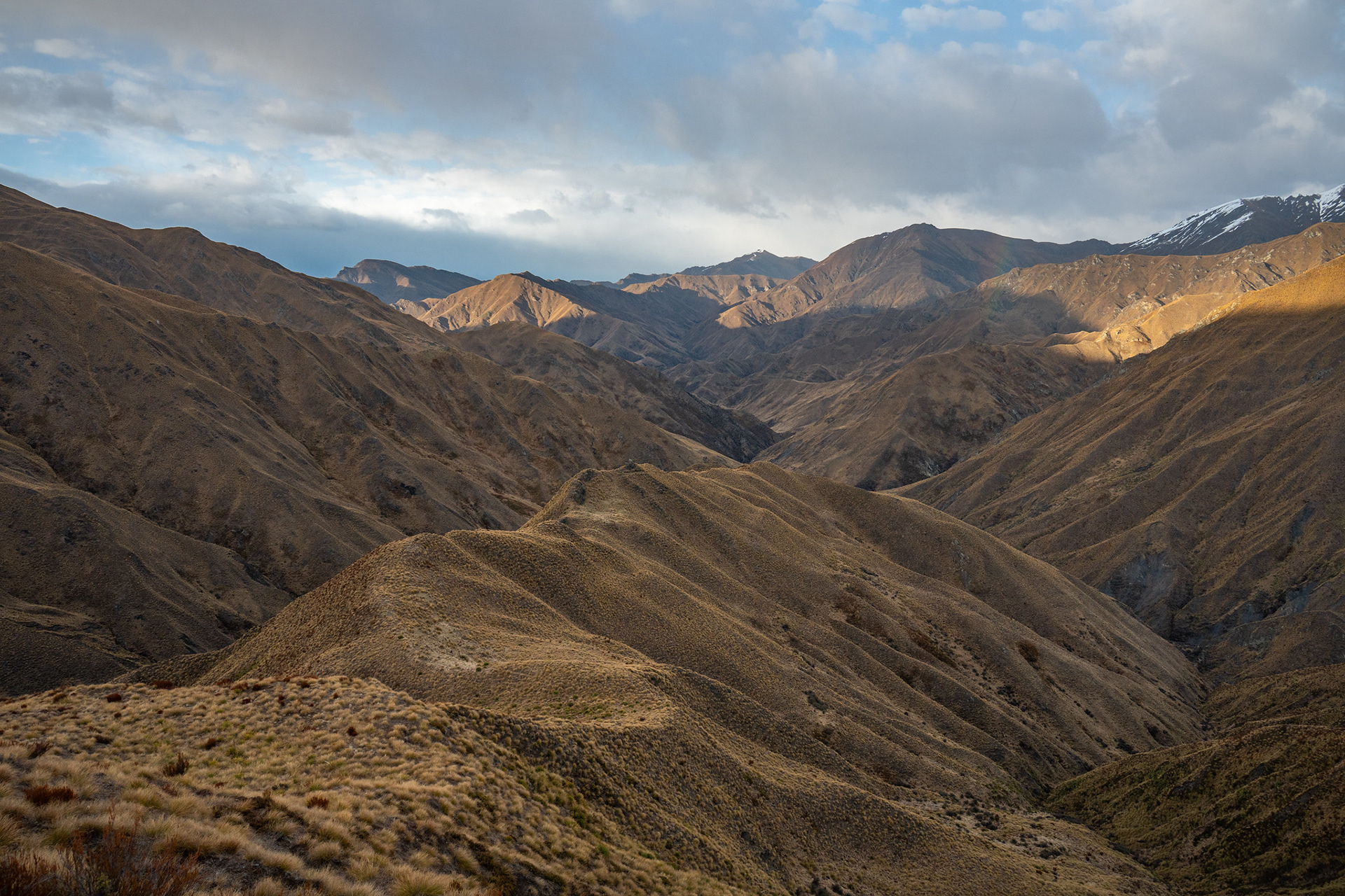
Dropping into the Arrow catchment.
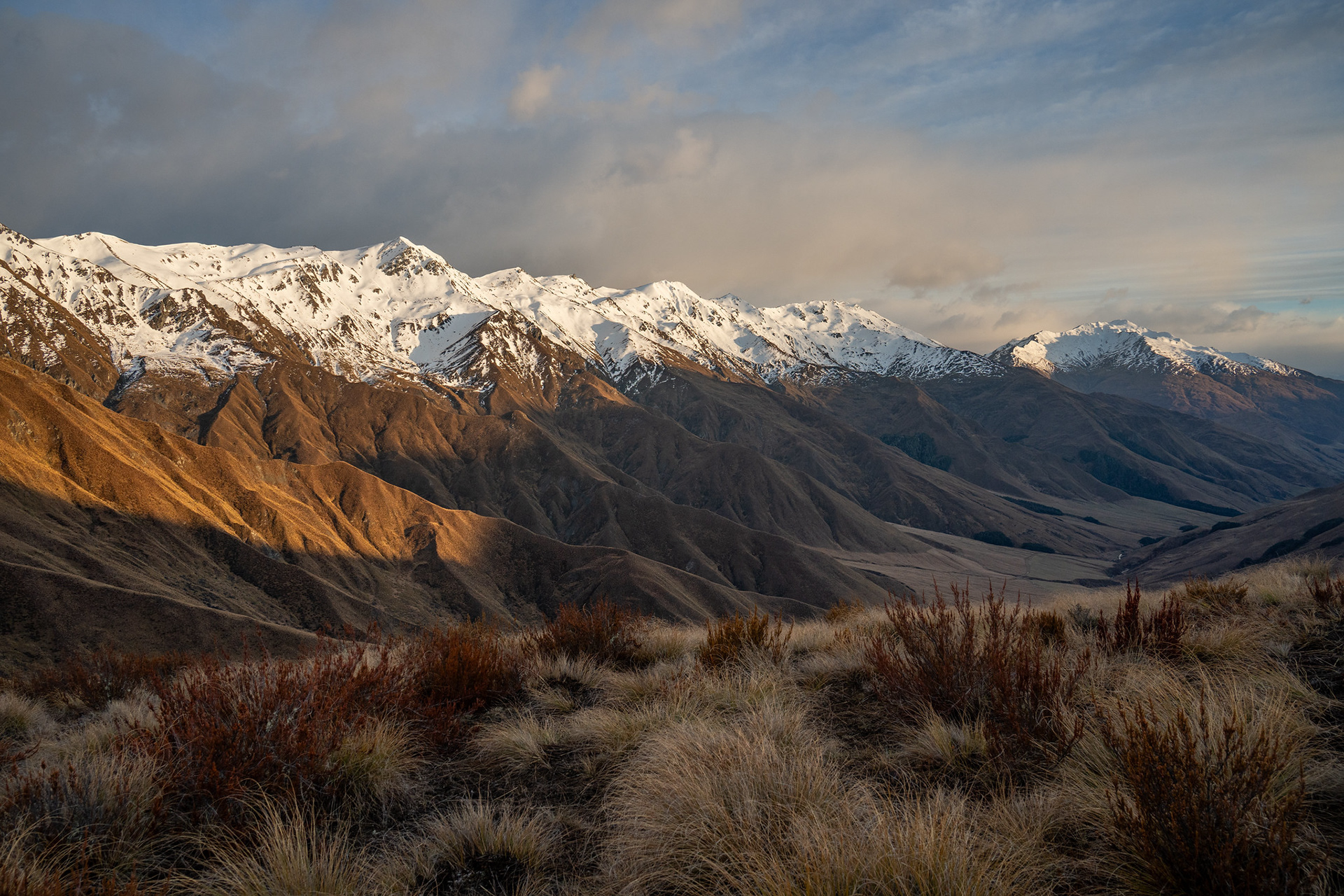
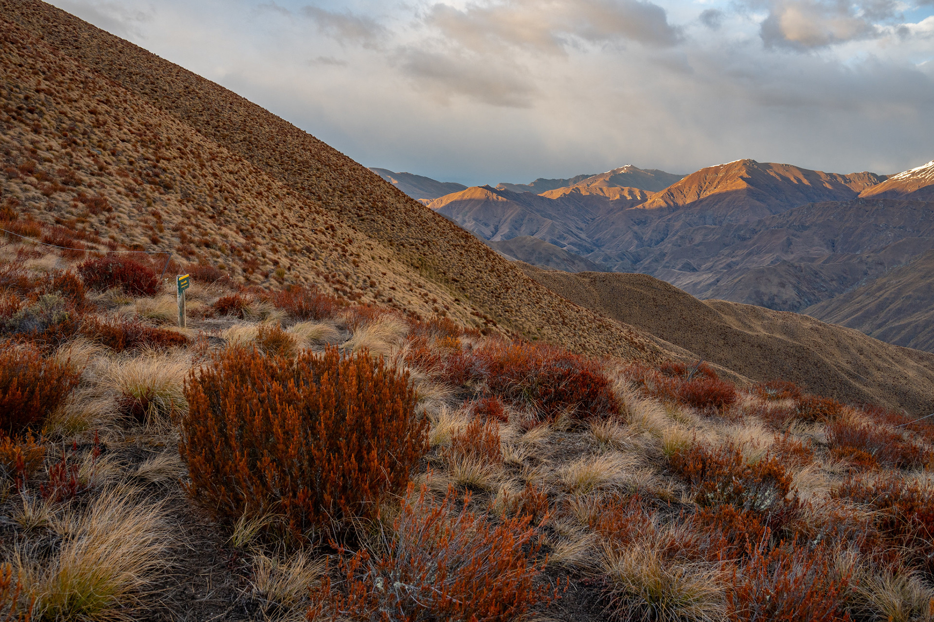
One final view of the Motatapu Valley, the early sun illuminating the peaks.
Dropping down the prominent spur, pt. 995 below.
Up to pt. 1781.
The middle reaches of the Arrow River flowing through very barren landscape.
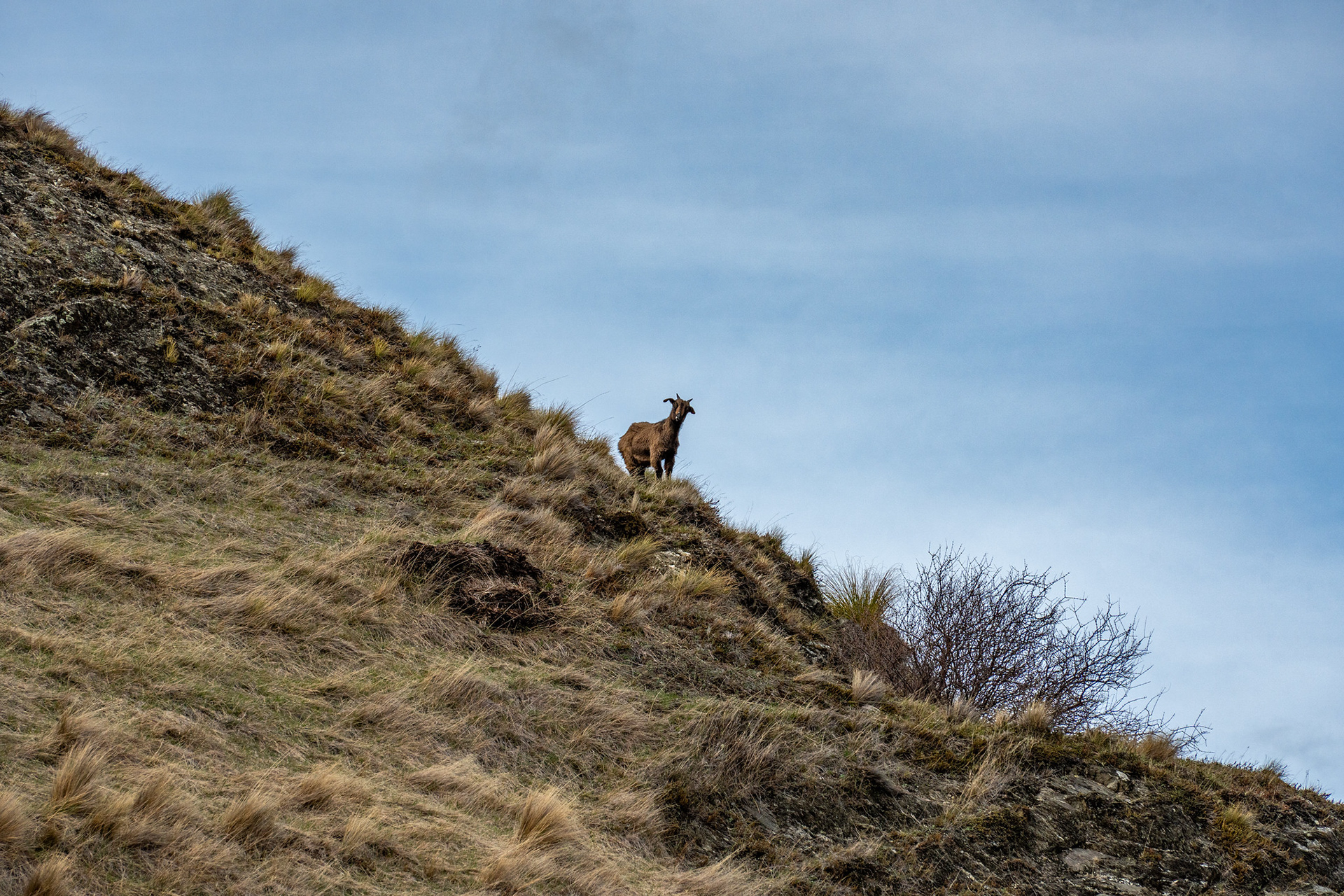
No pictures of the matagouri sorry, but here's a goat with piqued interest.
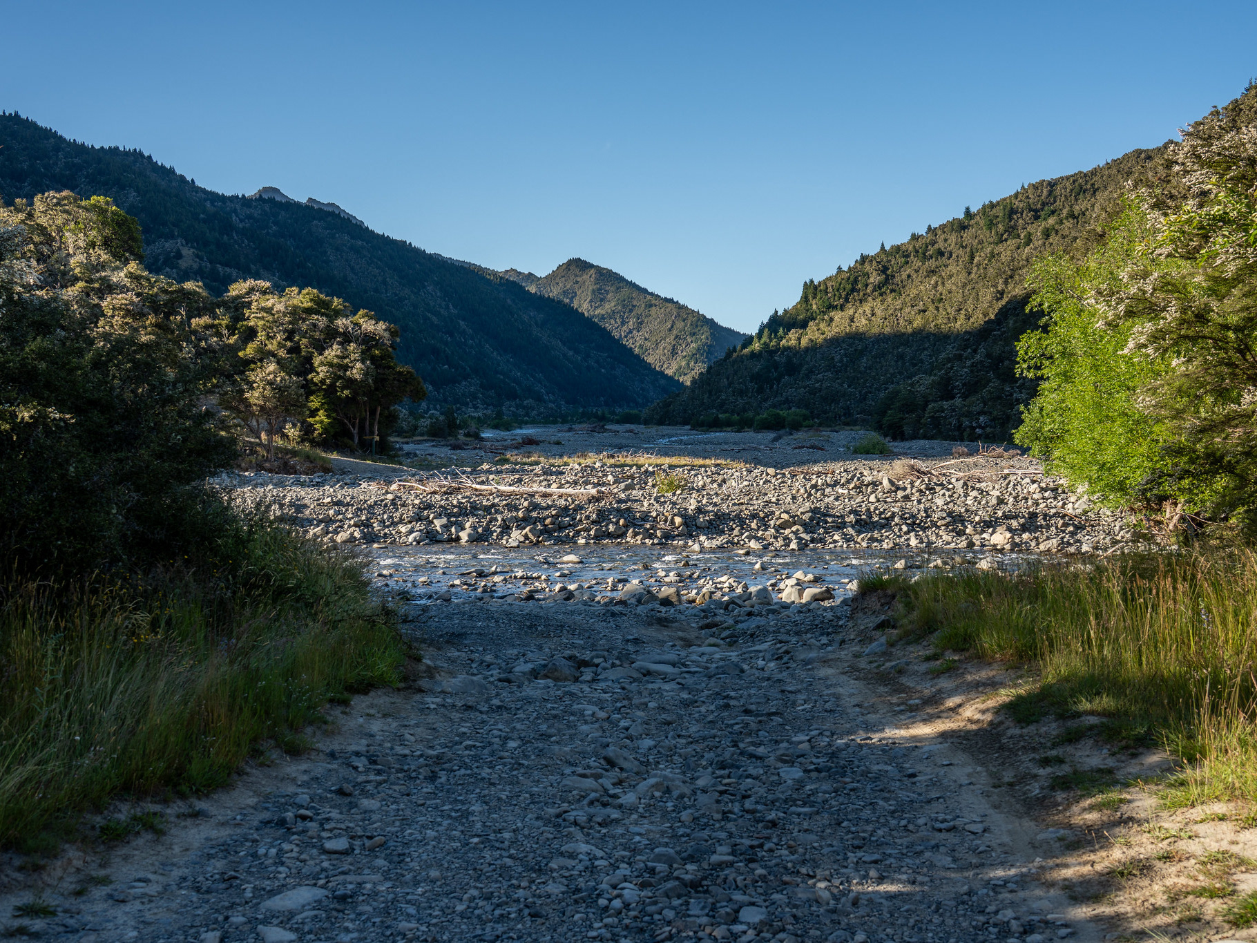
The final descent to the Arrow / Gold confluence, both rivers need to be forded.
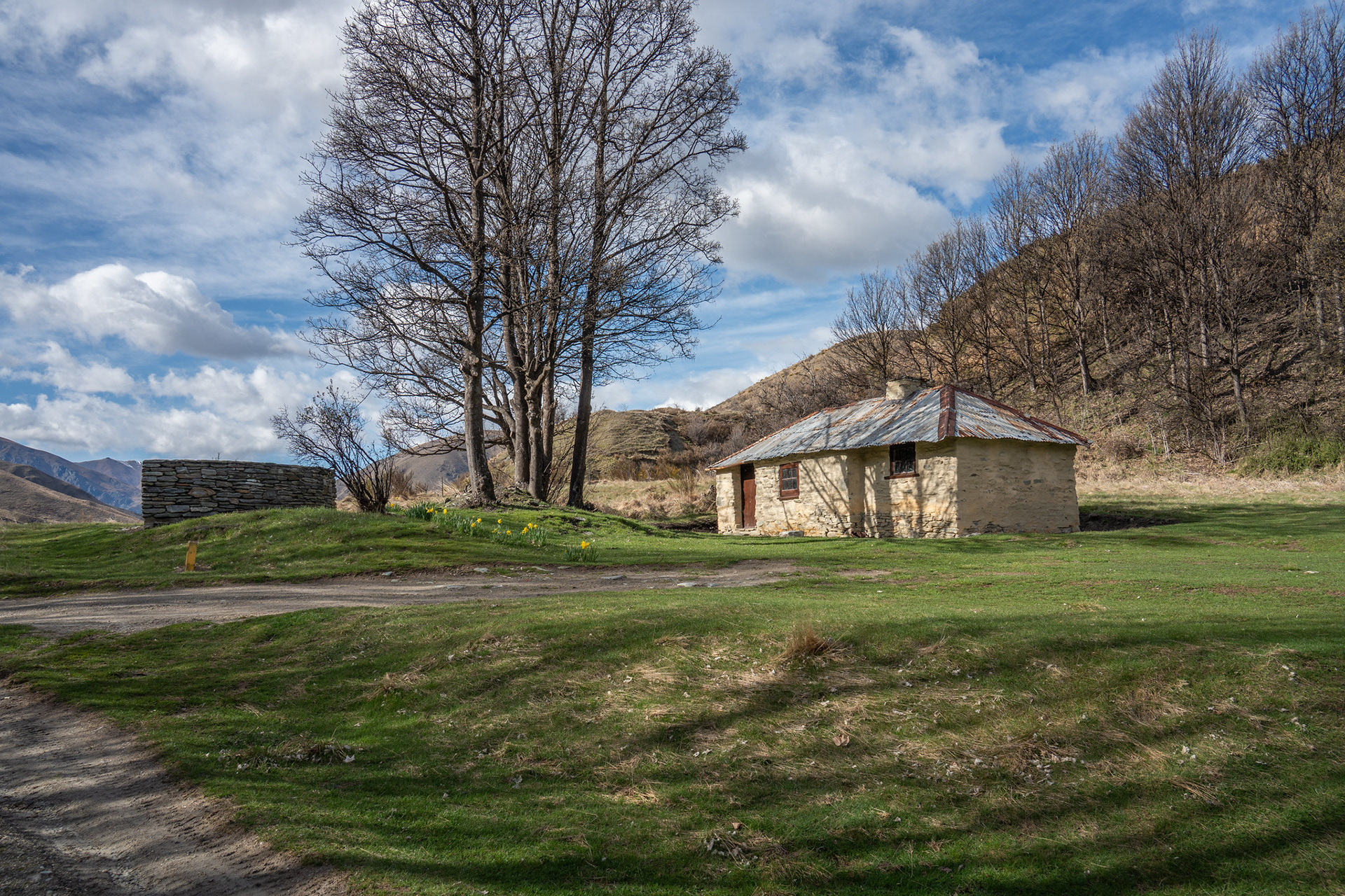
Some of the old architecture at Macetown.
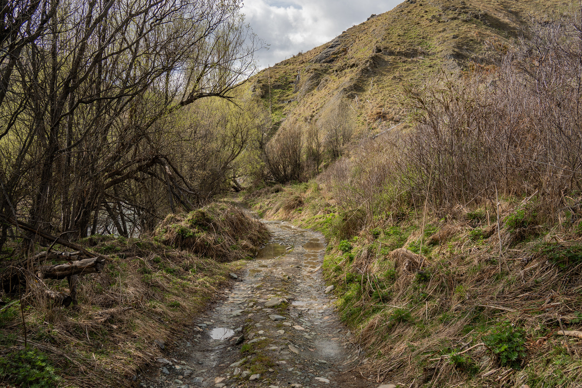
Ambling down the Macetown Road, it's a bit of a monotonous haul though there are lots of goats.
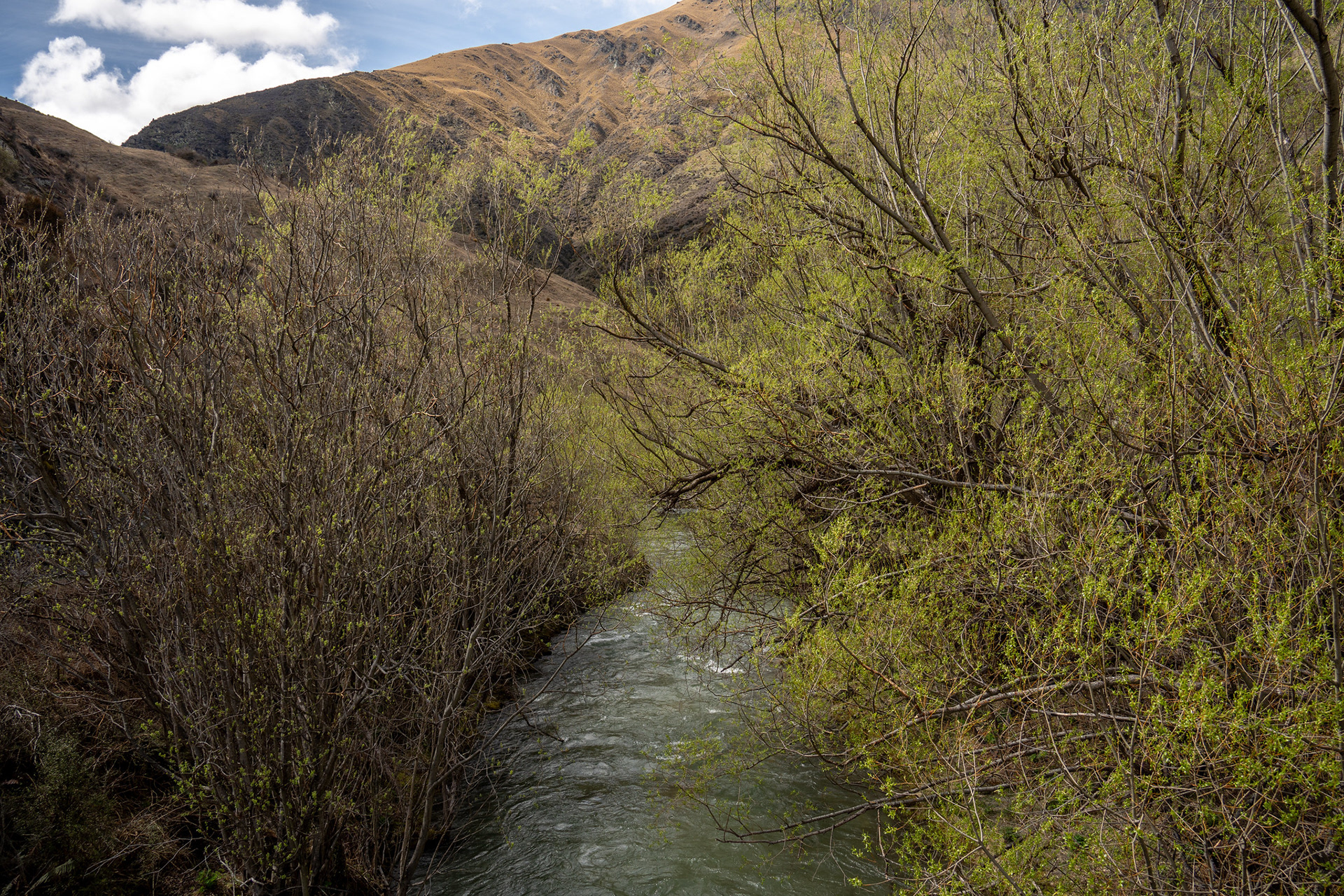
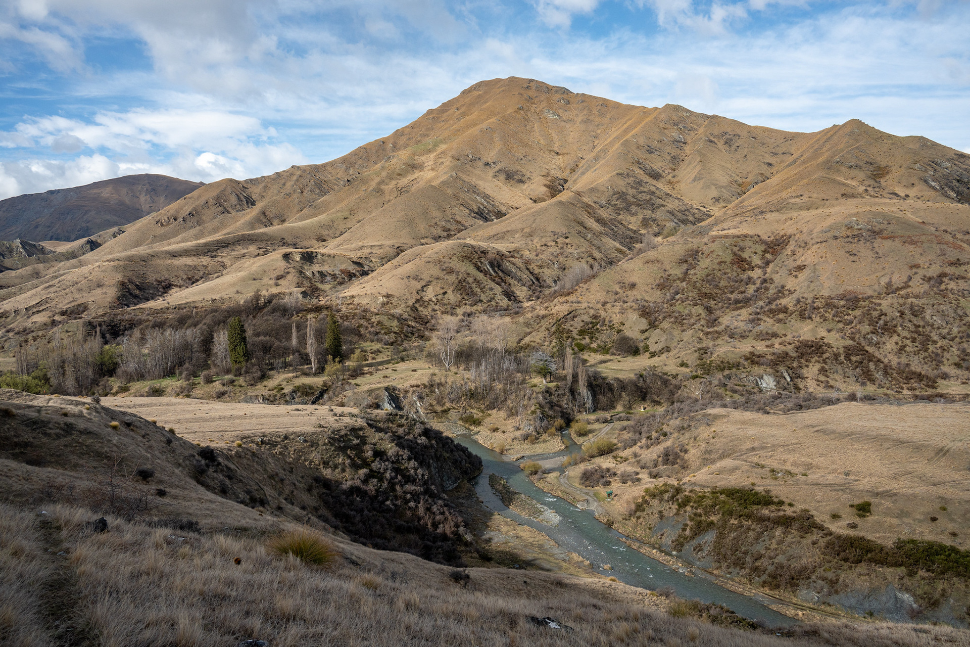
The Arrow River passing through willows, classic Otago scenery.
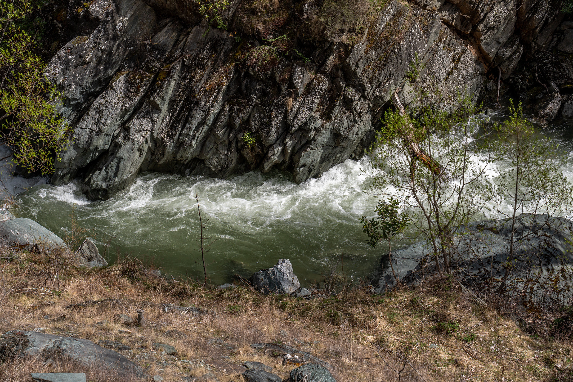
The depths of the Arrow Gorge, you can see why they built the road so high.