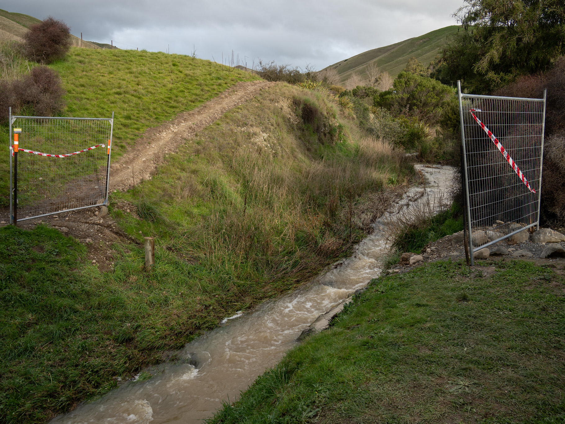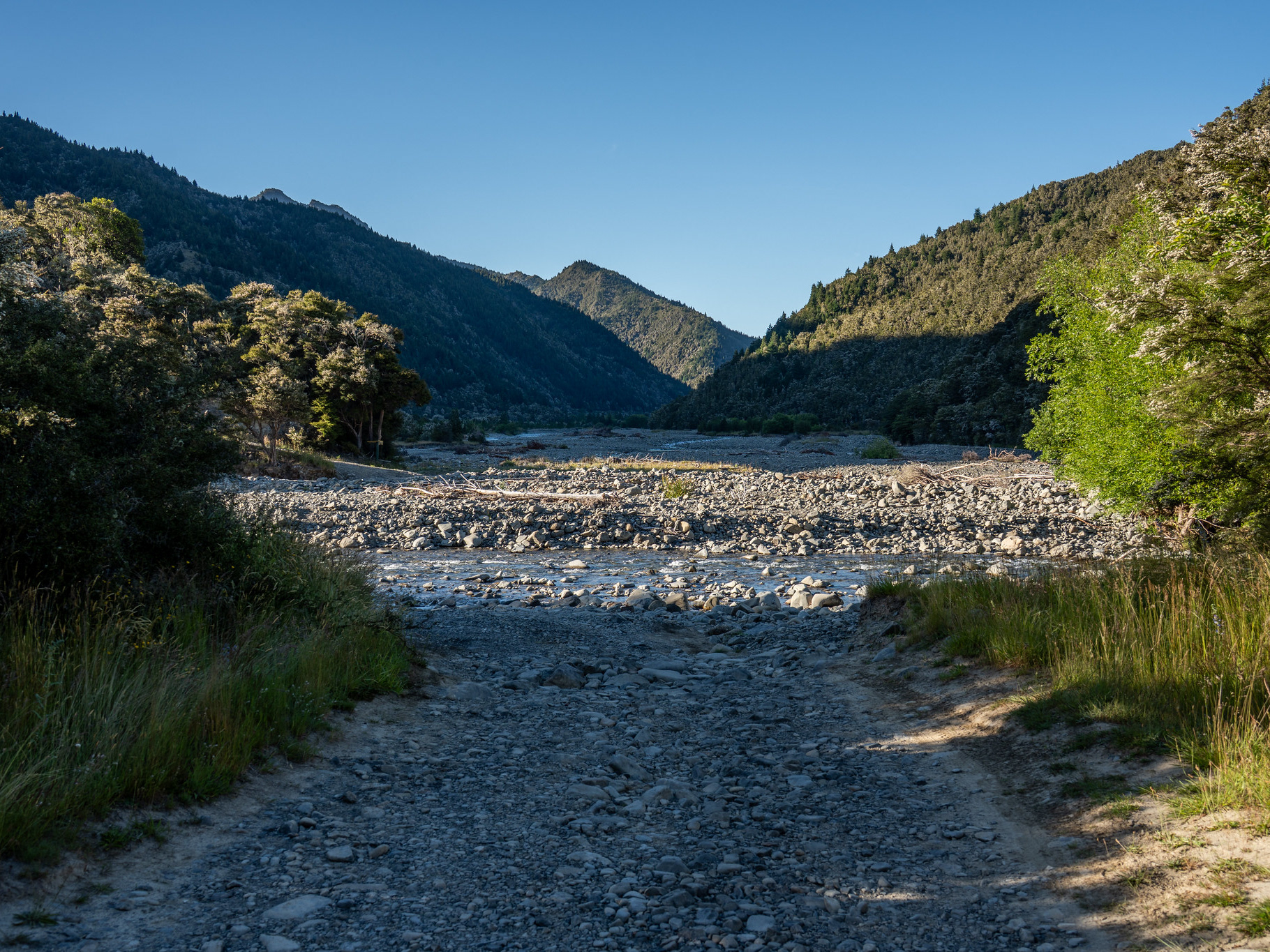
The crossing of Top Valley Stream, surprisingly placid.
For what it's worth, my take is that it's easily doable as a day trip (and a reasonably quick one) from the lower carpark but the limiting factor will be whether you can stomach the distance and elevation. It's ~23.5km and 1820m of elevation gain, it took me a bit under 4:40 return (plus lunch at the hut and some time moseying on the summit). It definitely needs to be noted that this is a good pace and quicker than most, parties looking to do this as a day trip should start earlier and have a defined turnaround time to avoid benightment. The track is well-formed for the most part, but it's undeniably one of the more physical days a tramper might have. Richmond Saddle Hut is situated at roughly 10km in with 1100m ish of climbing to get to it, which splits the climb into two moderate days if that is more to your style.
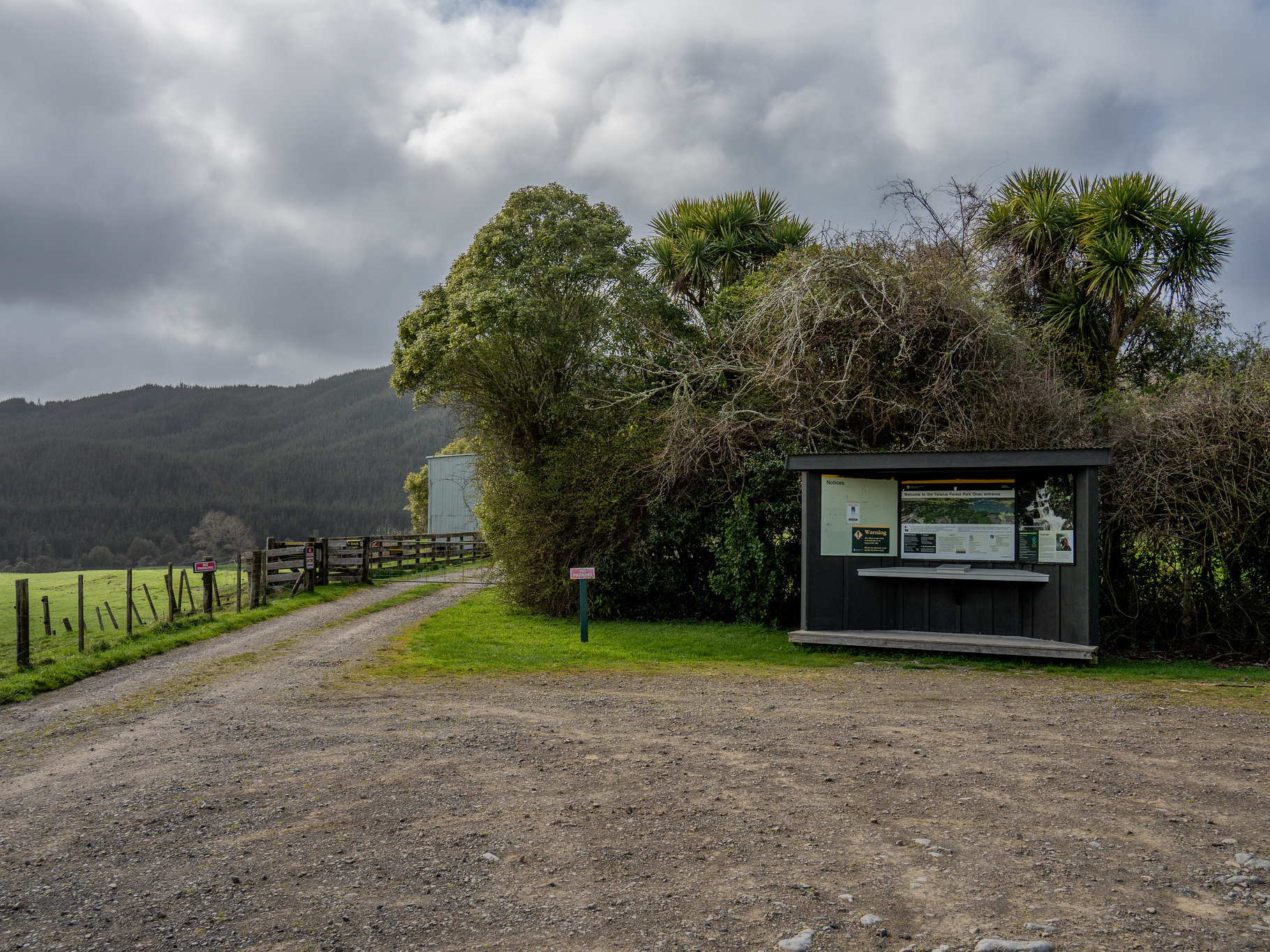
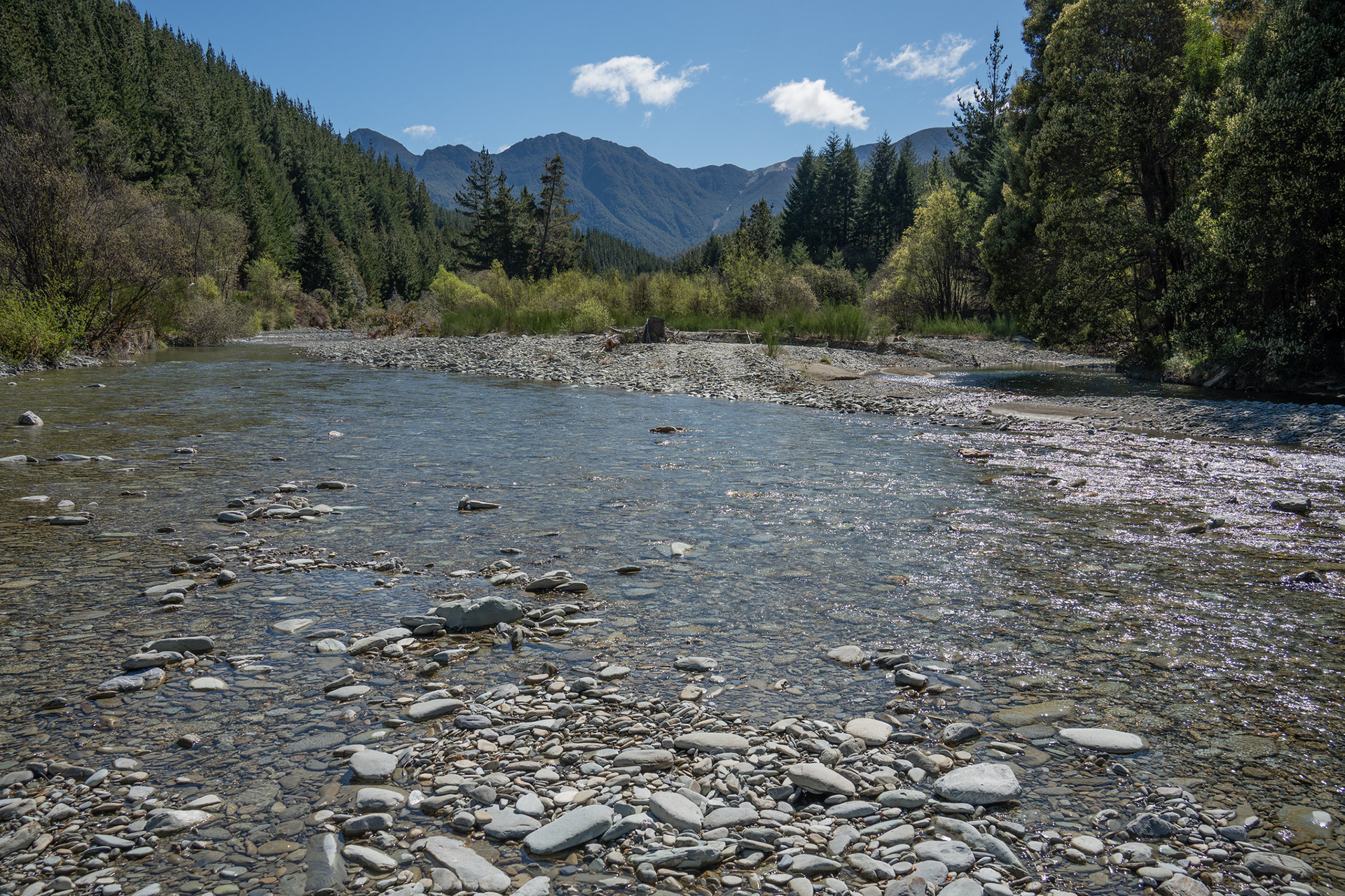
Setting out from the carpark, I utilised Dad's suggestion to bring boat shoes for the crossing of Top Valley Stream. It was good advice, the crossing is easy and it's the only wet feet you'll get all day. I walked the first 100m or so of Jackson Creek Road in the shoes, then swapped them out for running shoes and stowed the boat shoes adjacent to the road. Then I was all set for the route ahead, and it was into a steady rhythm of tapping out the kilometres up the road.
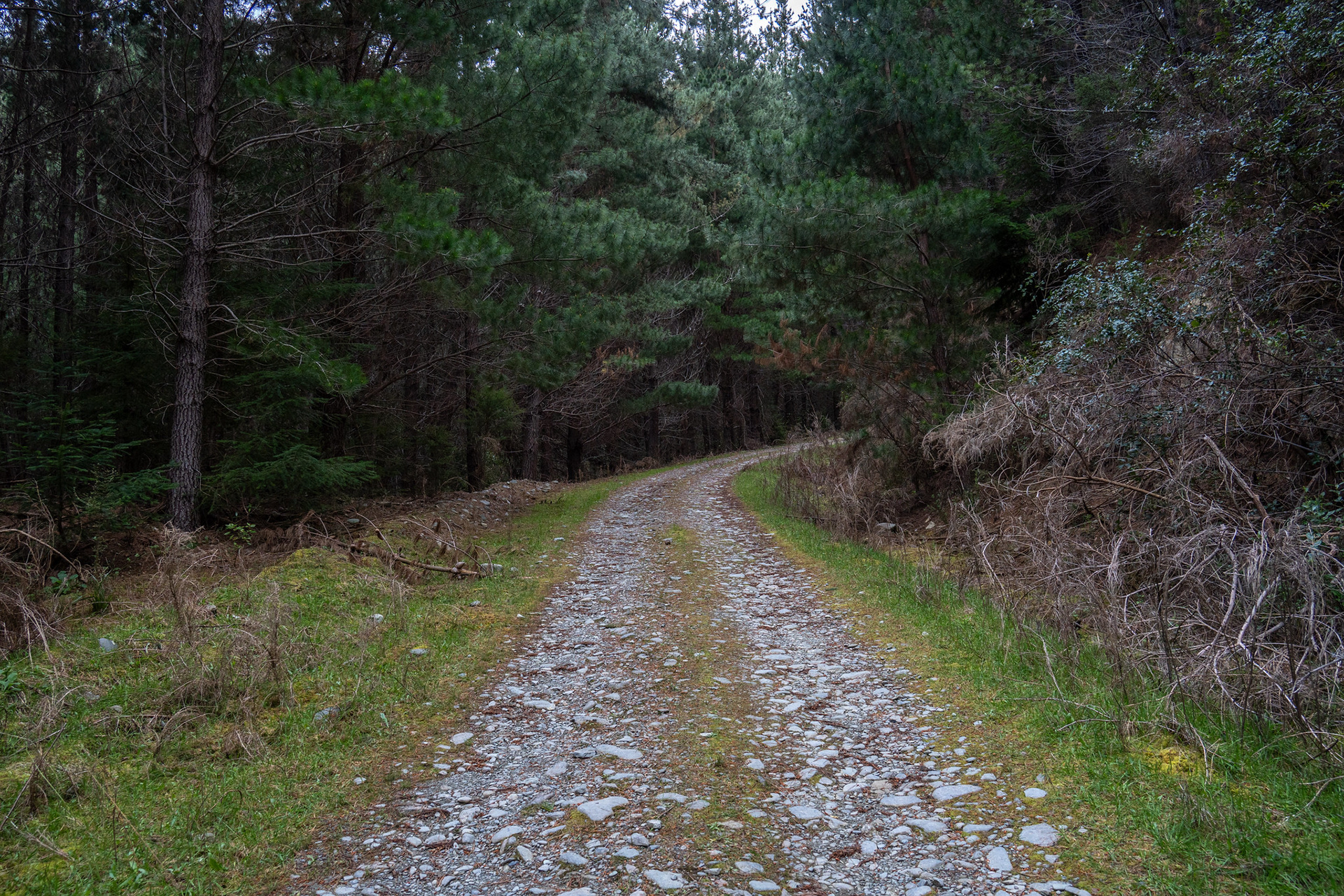
One of the nicer sections of Jacksons Creek Road, though it's in reasonable condition throughout.
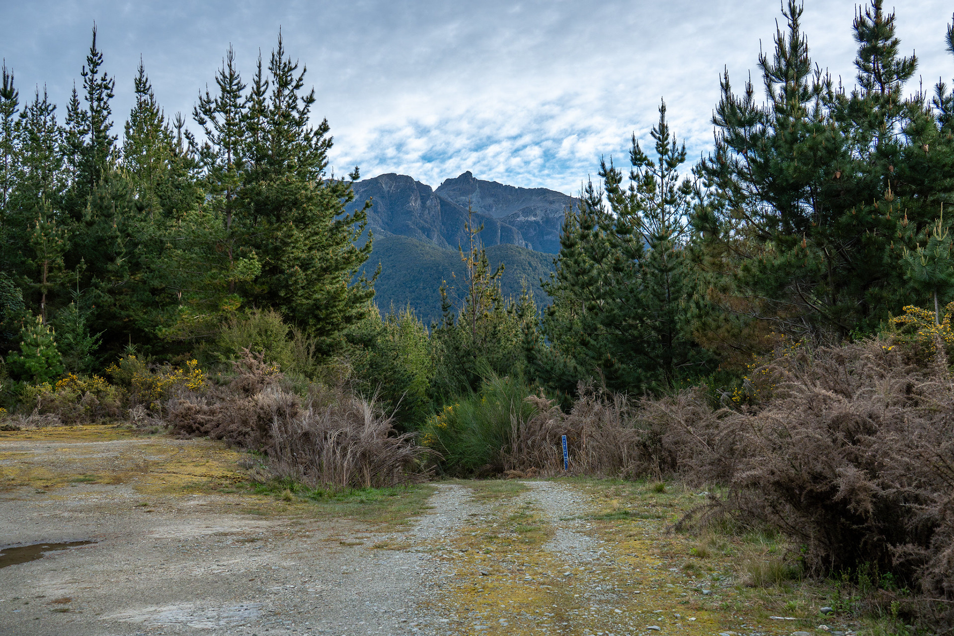
The first view of the summit region (Johnston Peak visible) from a skid site near the top of Richmond Saddle Road.
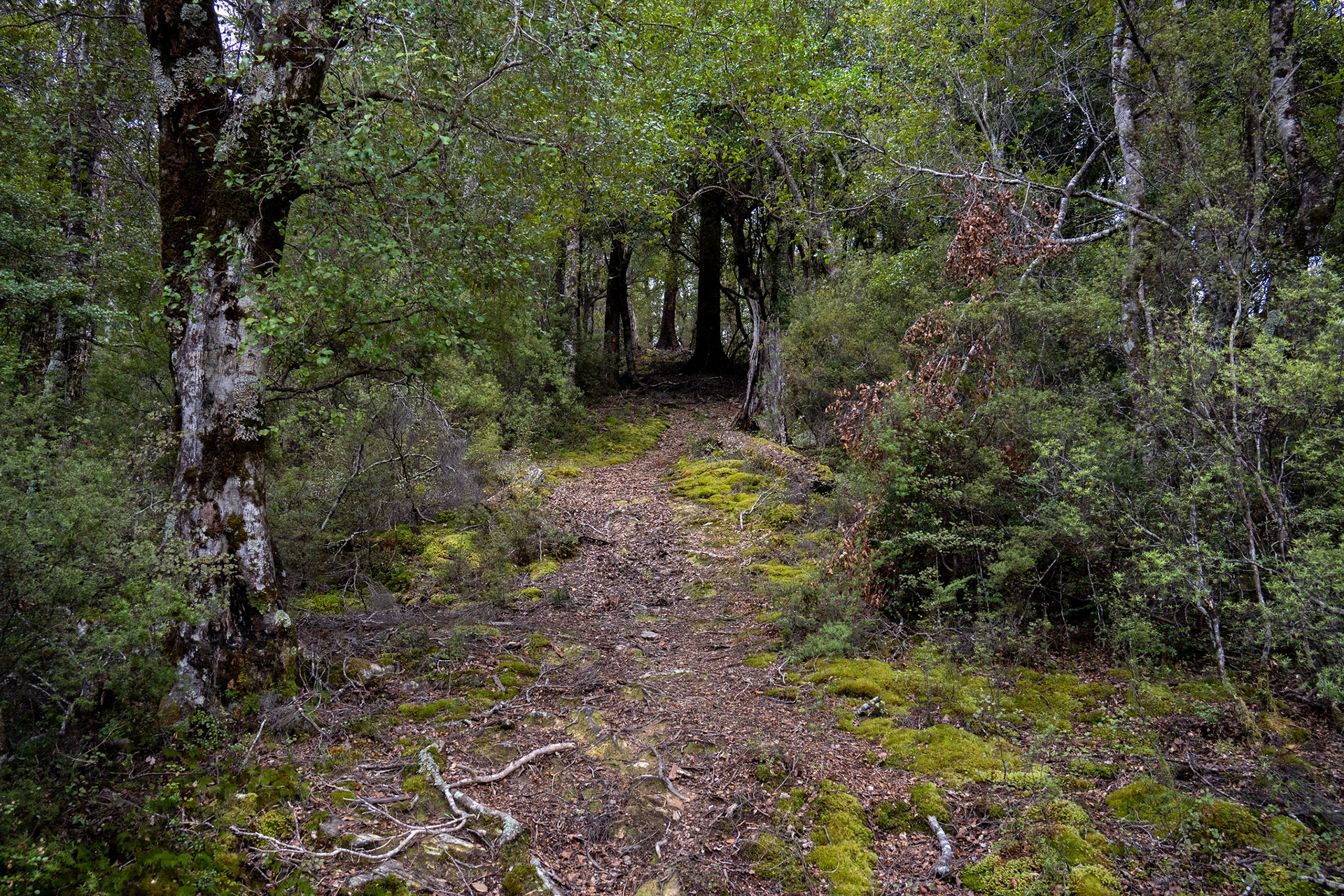
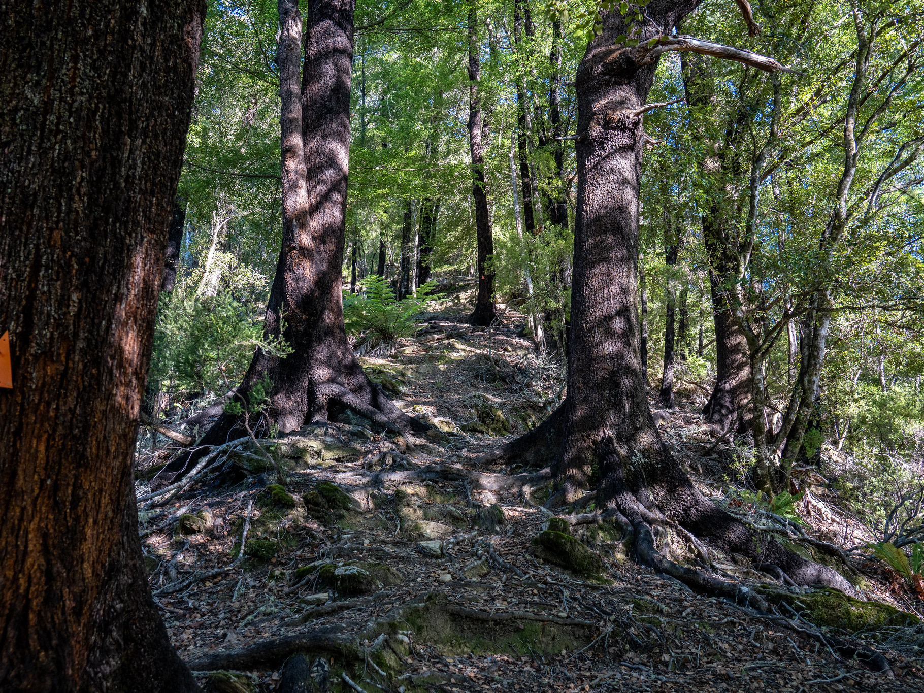
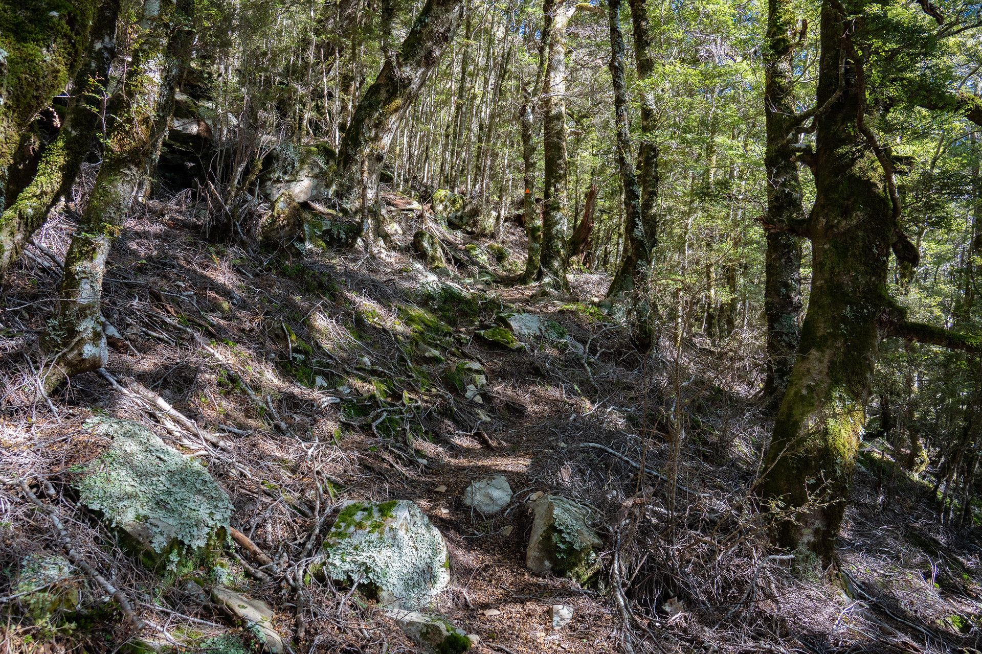
Heading up the lower spur, the track is mostly pristine especially amongst the flatter sections.
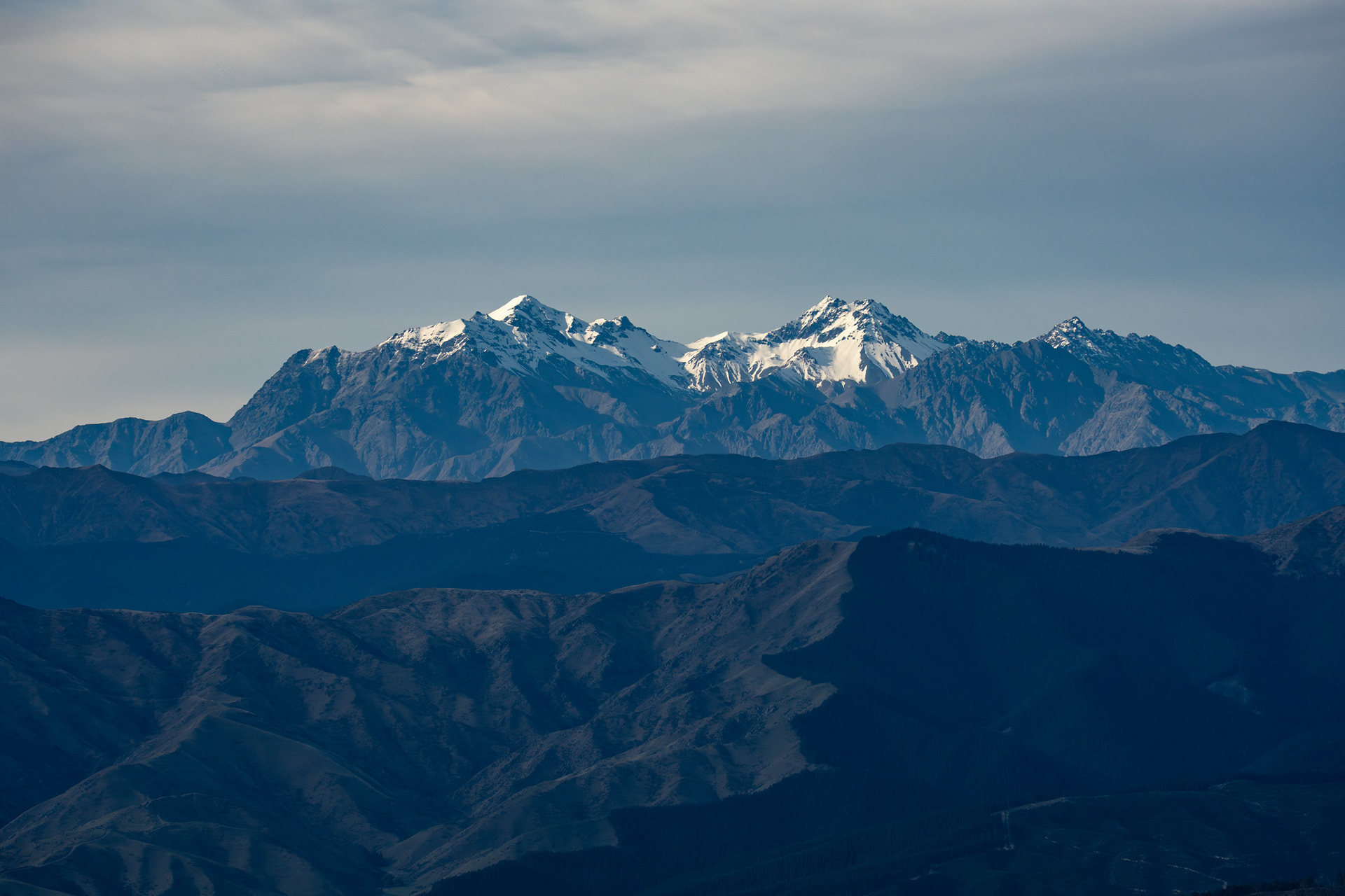
A view across to the upper Hodder peaks, the snowy ones are Tapuae-o-Uenuku (left) and Mt Alarm (right). Mitre Peak and Mt Gladstone are also marginally visible in shadow.
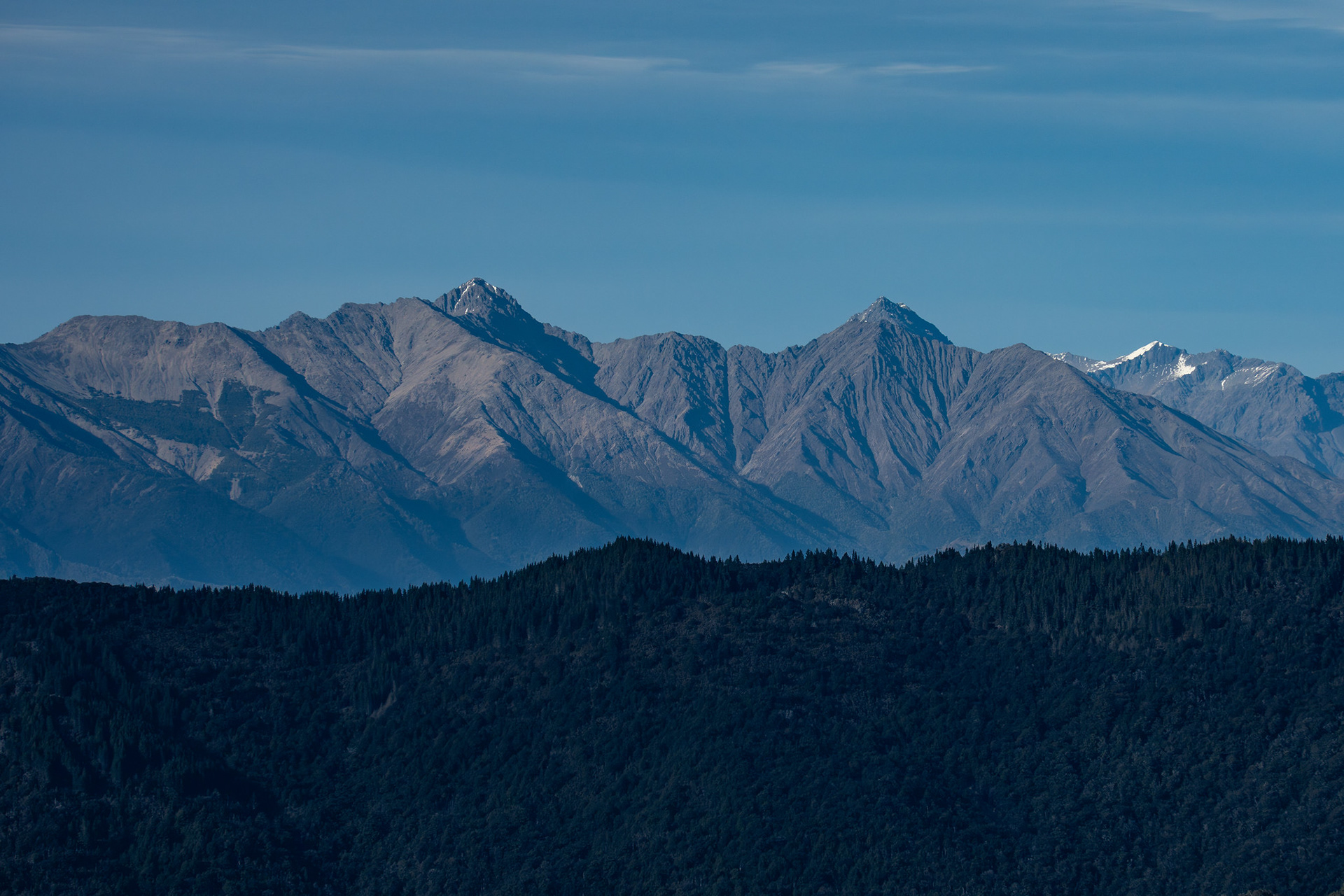
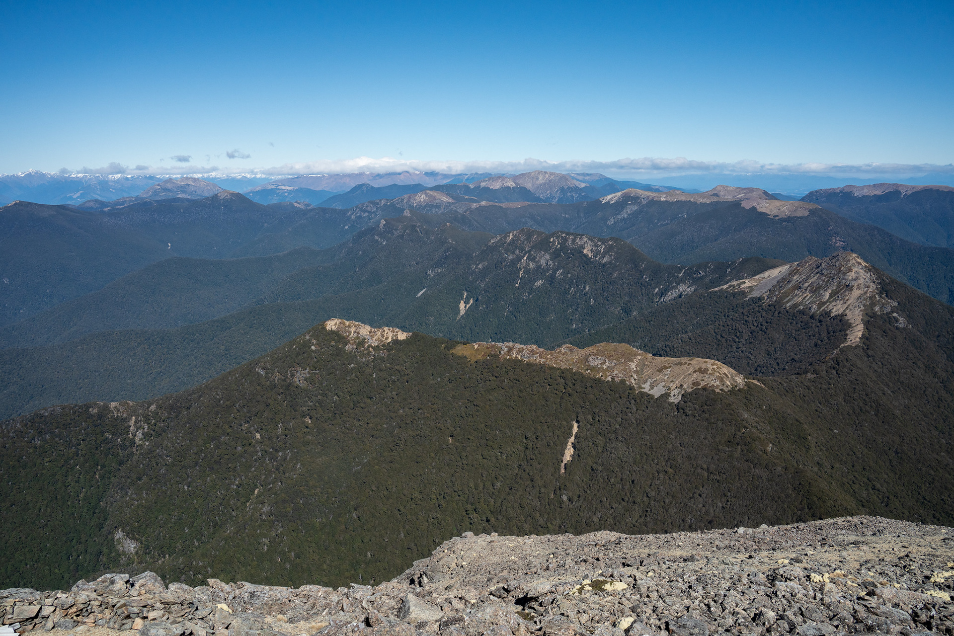
Bounds (left) and Pinnacle (centre right), two of the high peaks abutting the Leatham Valley.
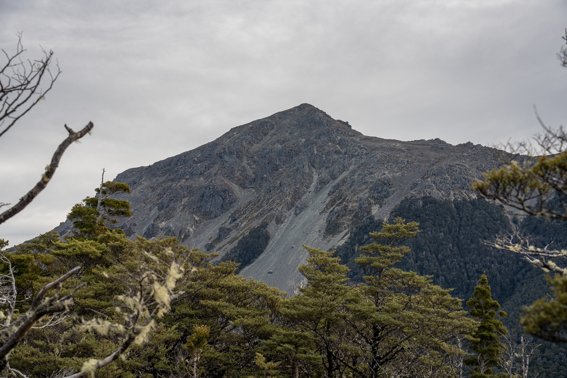
The first view of the summit of Richmond, clouds threatening to envelop it.
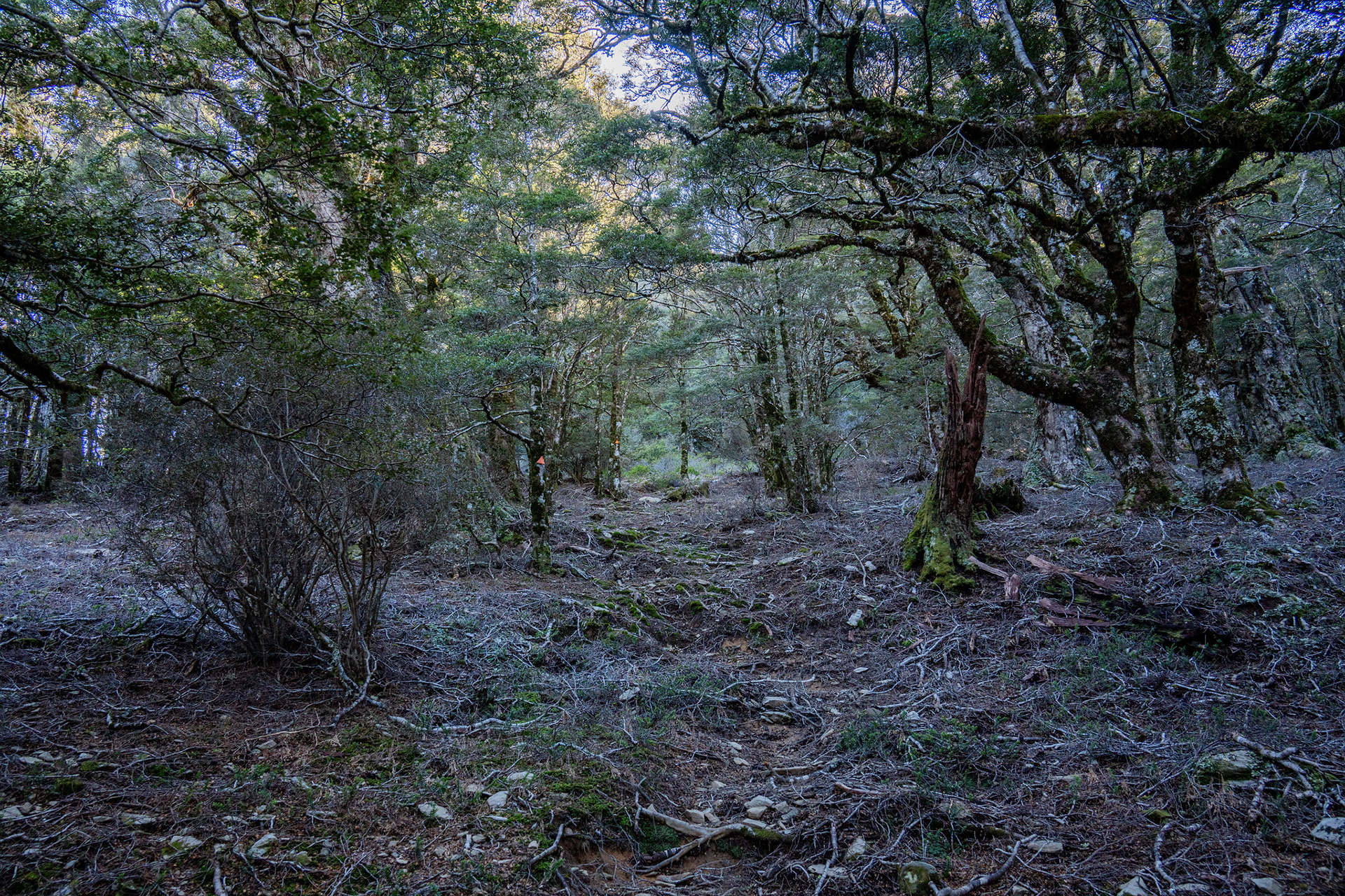
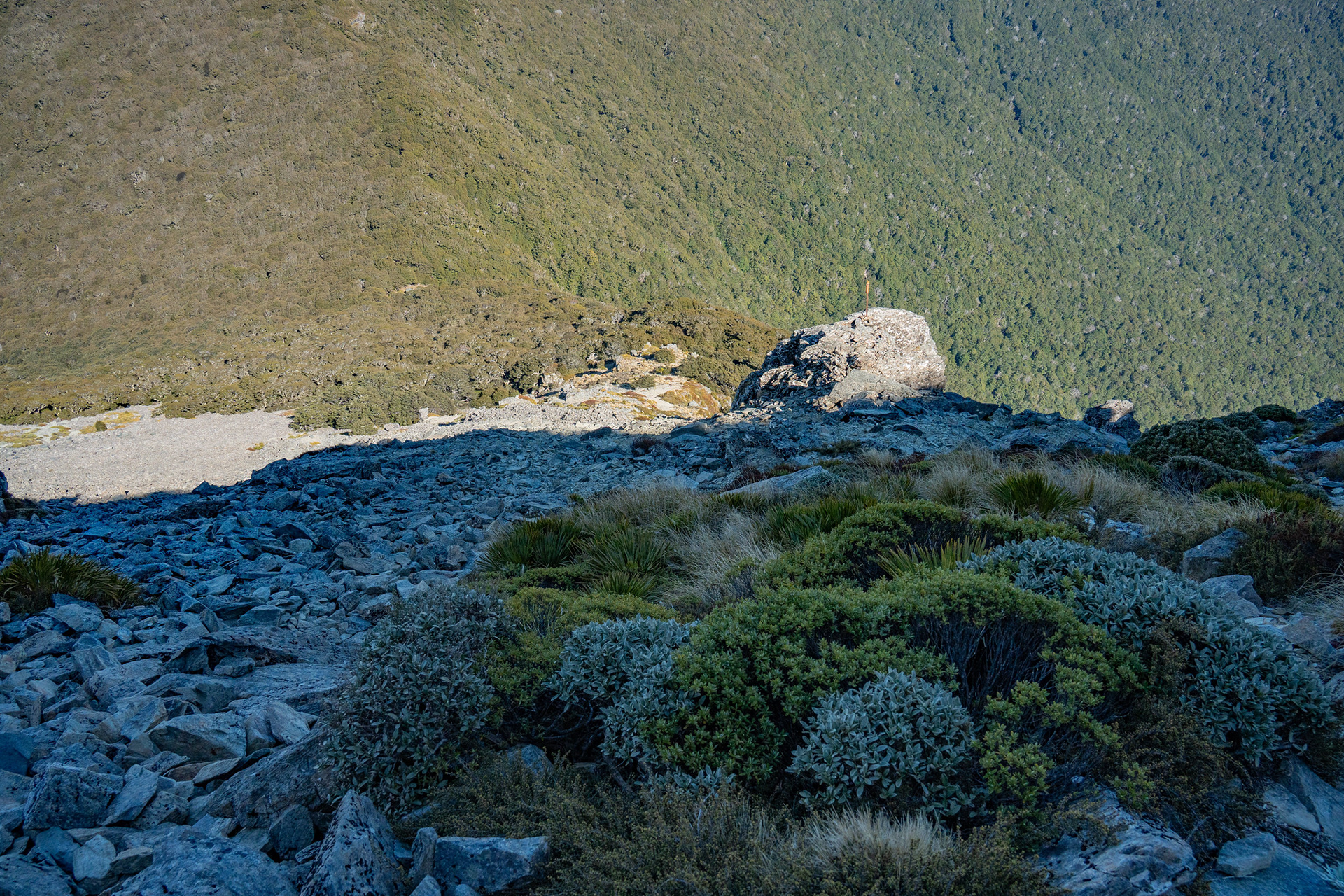
Sidling under pt. 1416 on the way to Richmond Saddle.
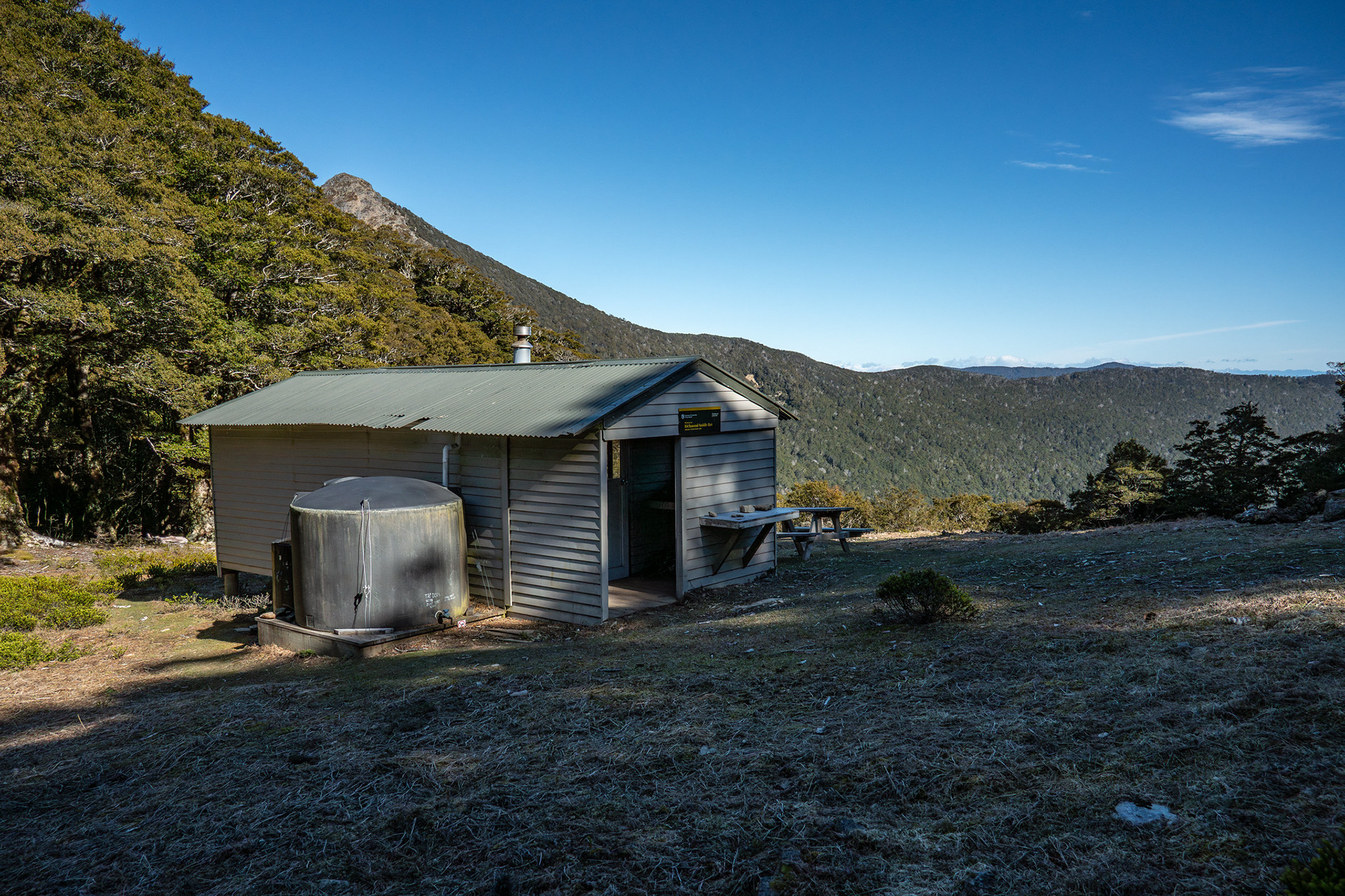
Richmond Saddle Hut in its clearing, Grass Knob background left.
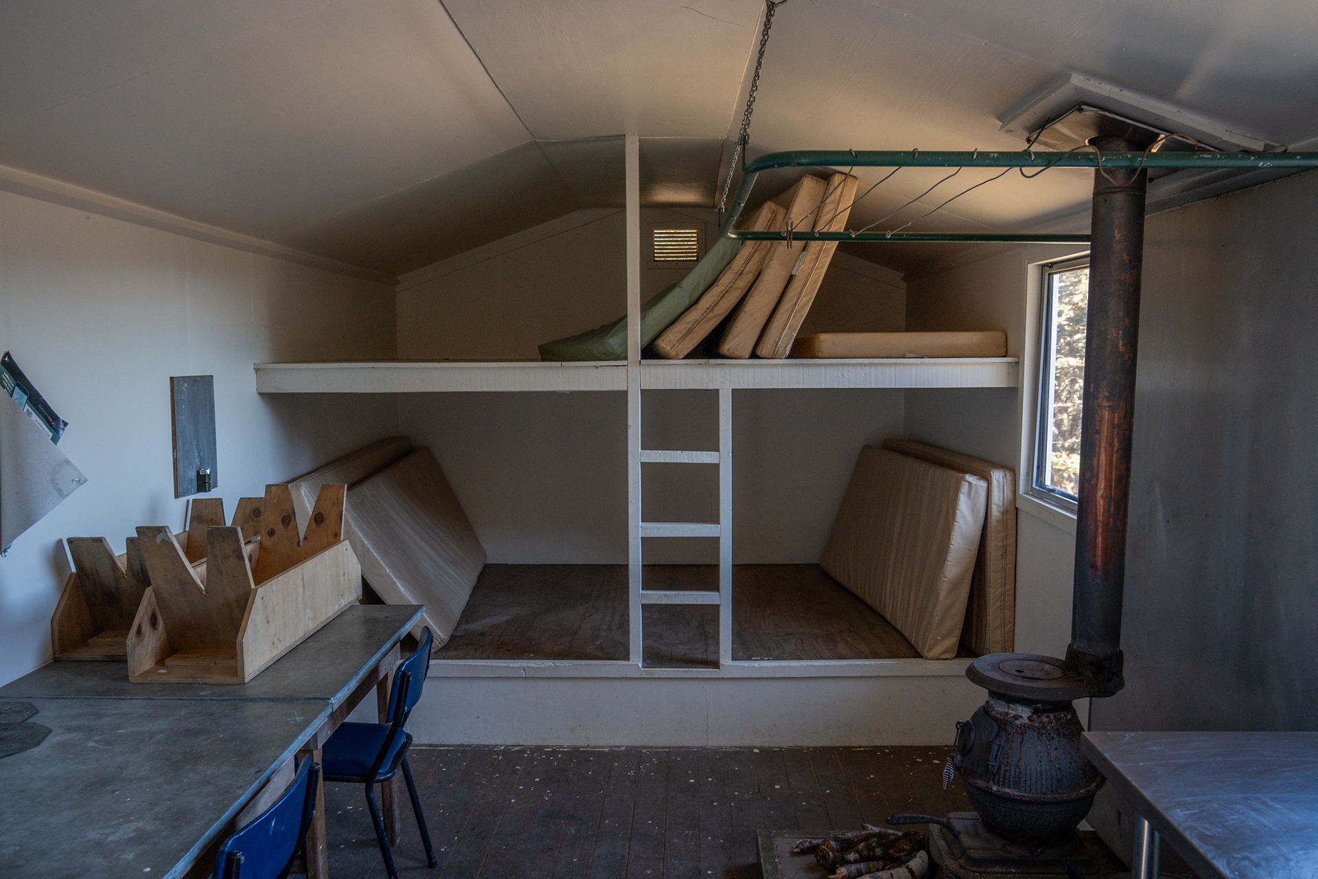
The interior of Richmond Saddle Hut.
From the hut, the route climbs quickly through open forest up to the bushline. There is a ground trail and some marking, but it's a very open understory which means the exact routing isn't always easy to discern. About five minutes after setting out, the vegetation transitions to scrub and shortly after, a face composed to blocky rockfall and sporadic tussock tongues.
Heading up through open understory between the hut and the bushline.
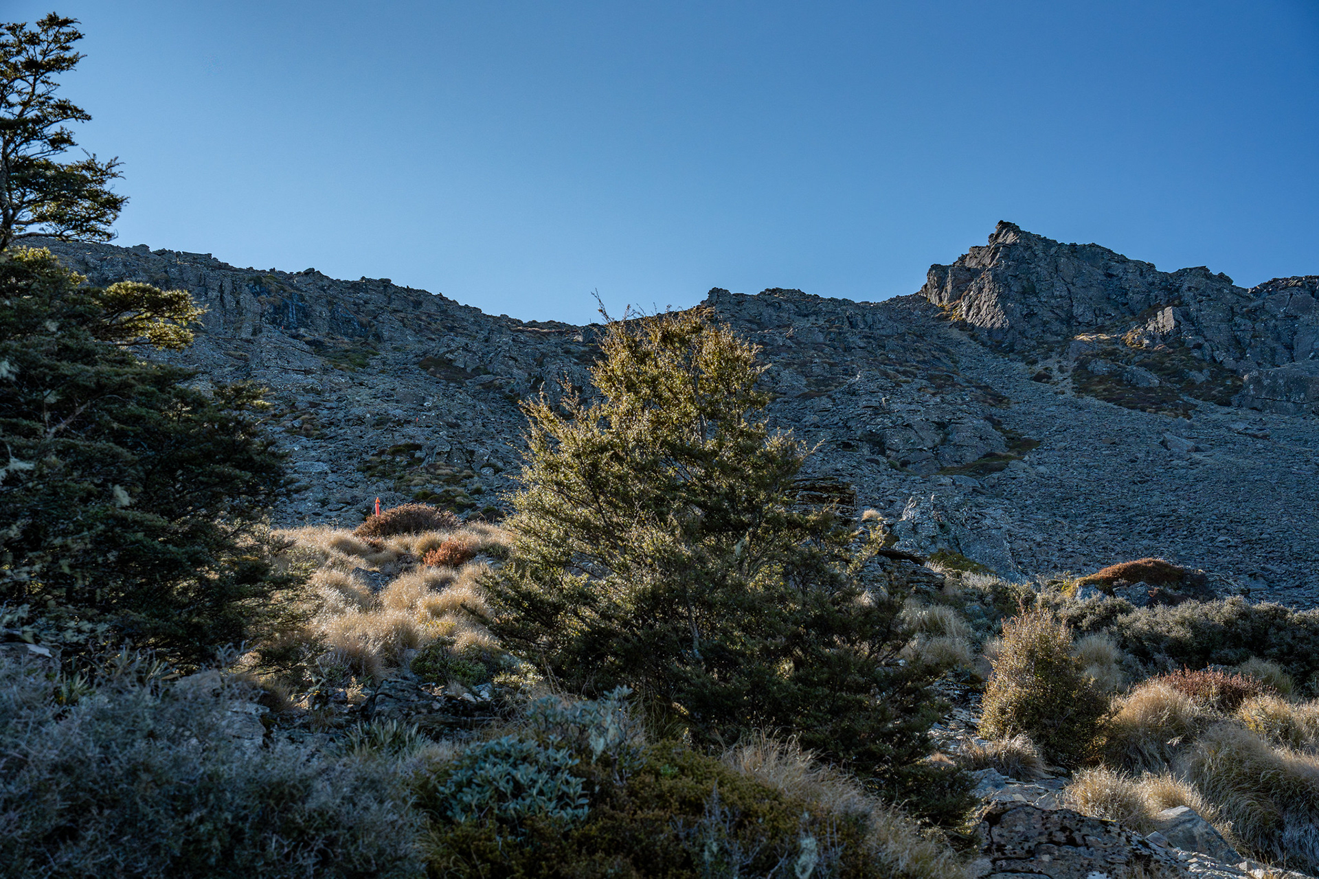
A very short section of tussock between the forest and the upper rock slopes.
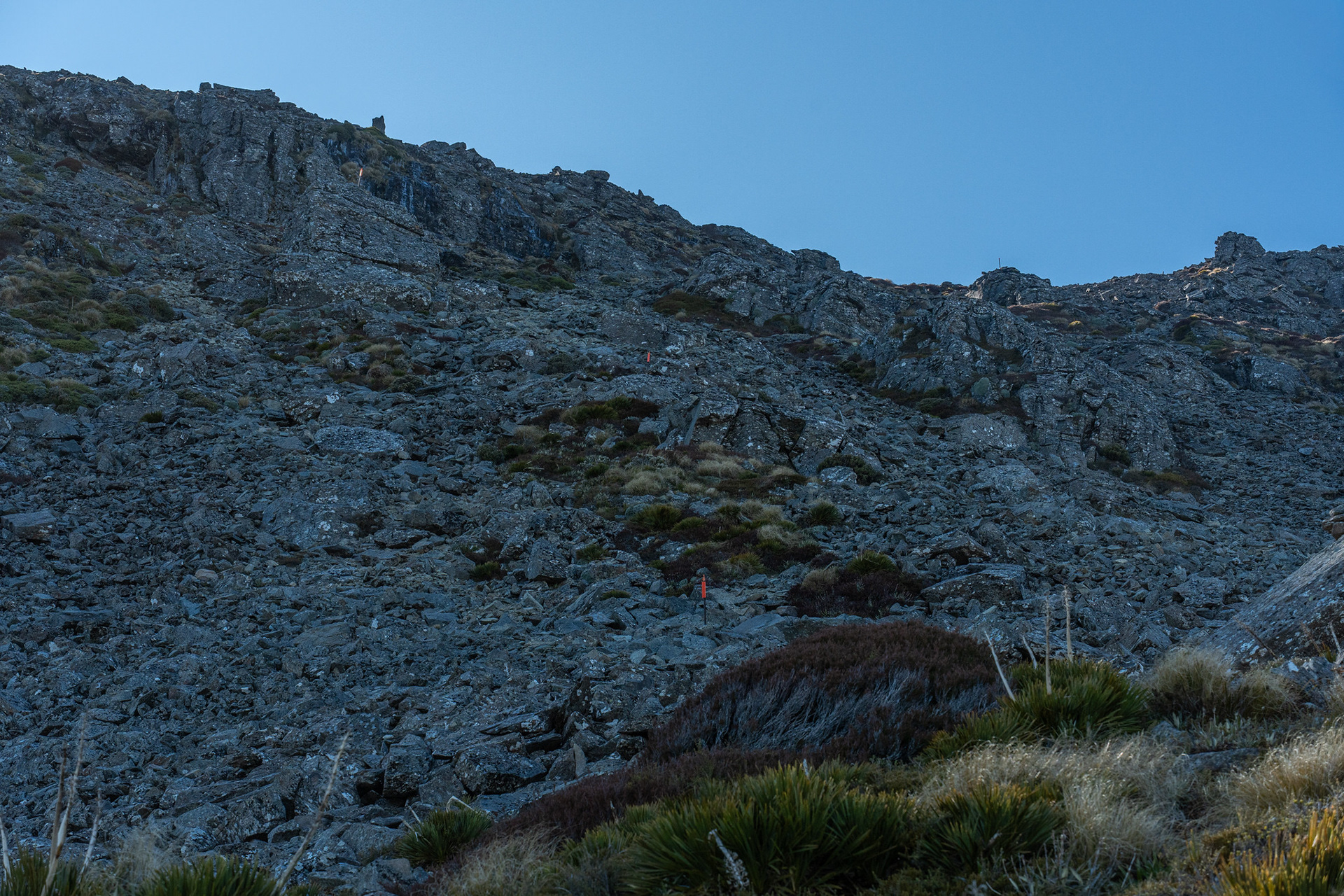
A wider view of the rock face, the poled route drifts slightly left then curves right behind the blocky rock spur to meet the skyline waratahs.
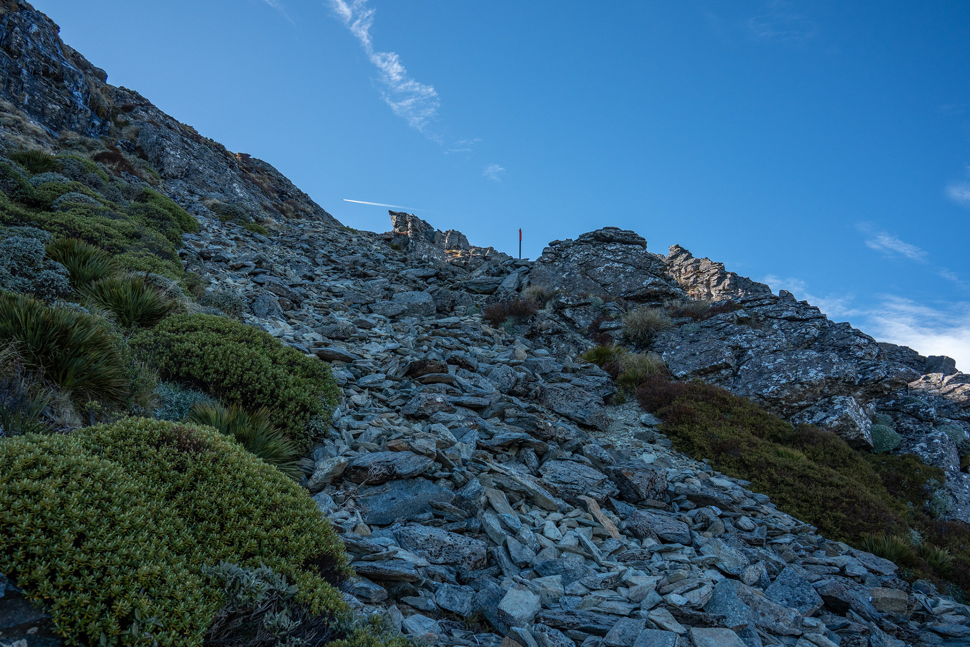
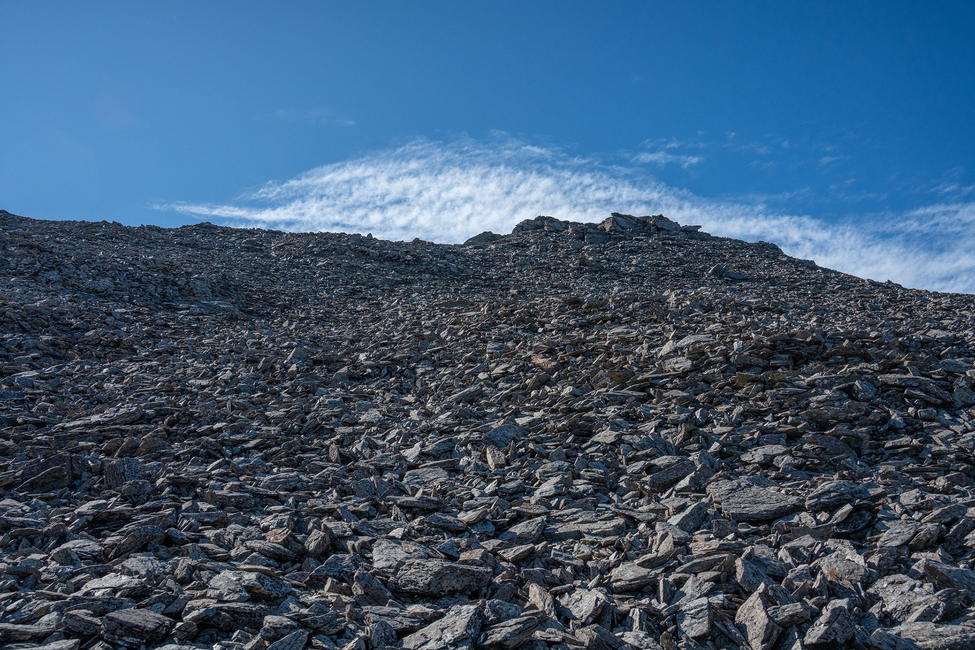
The top of the steeper section.
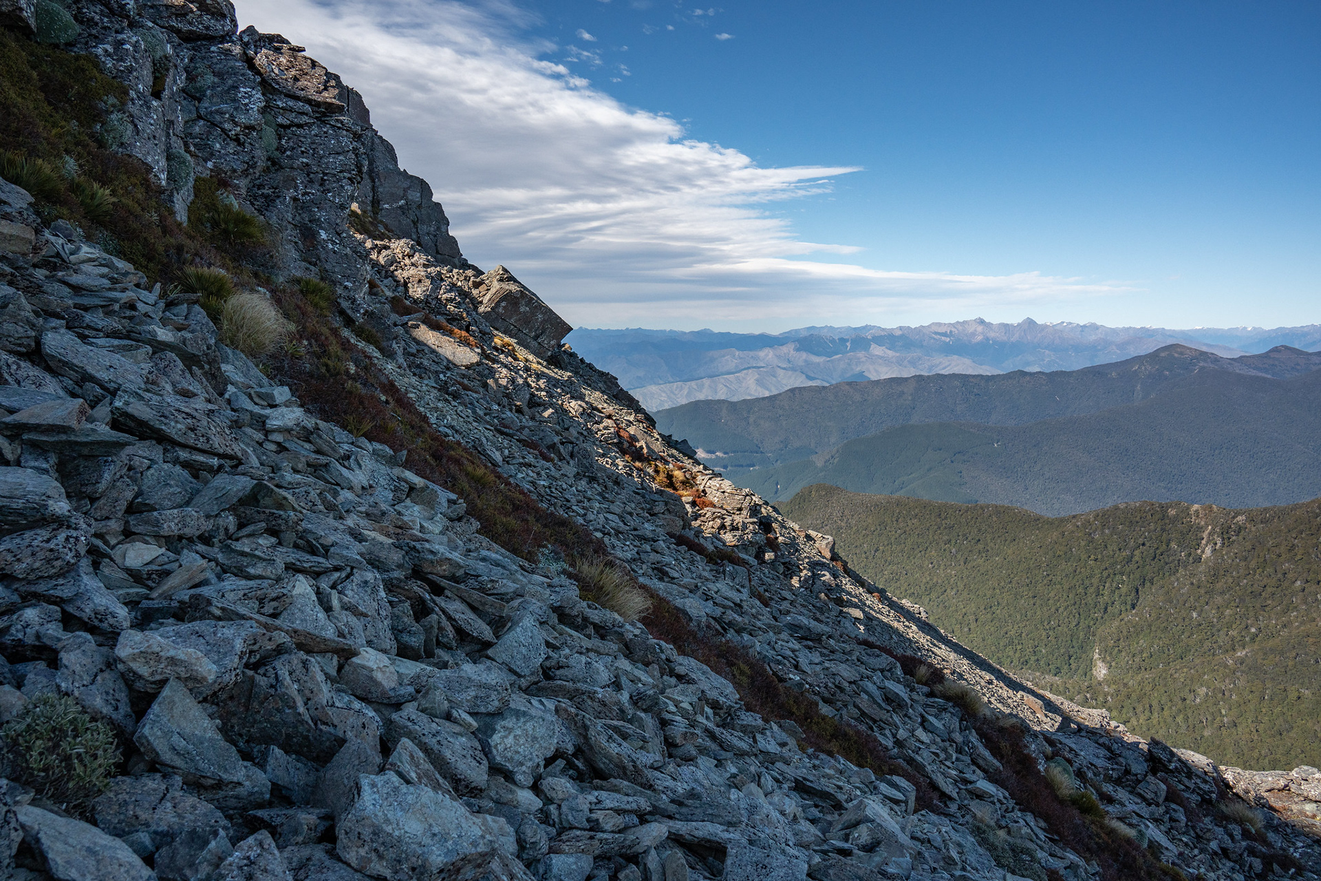
A sideways glance towards Bounds / Pinnacle to show the gradient.
Plus a view back down to the hut.
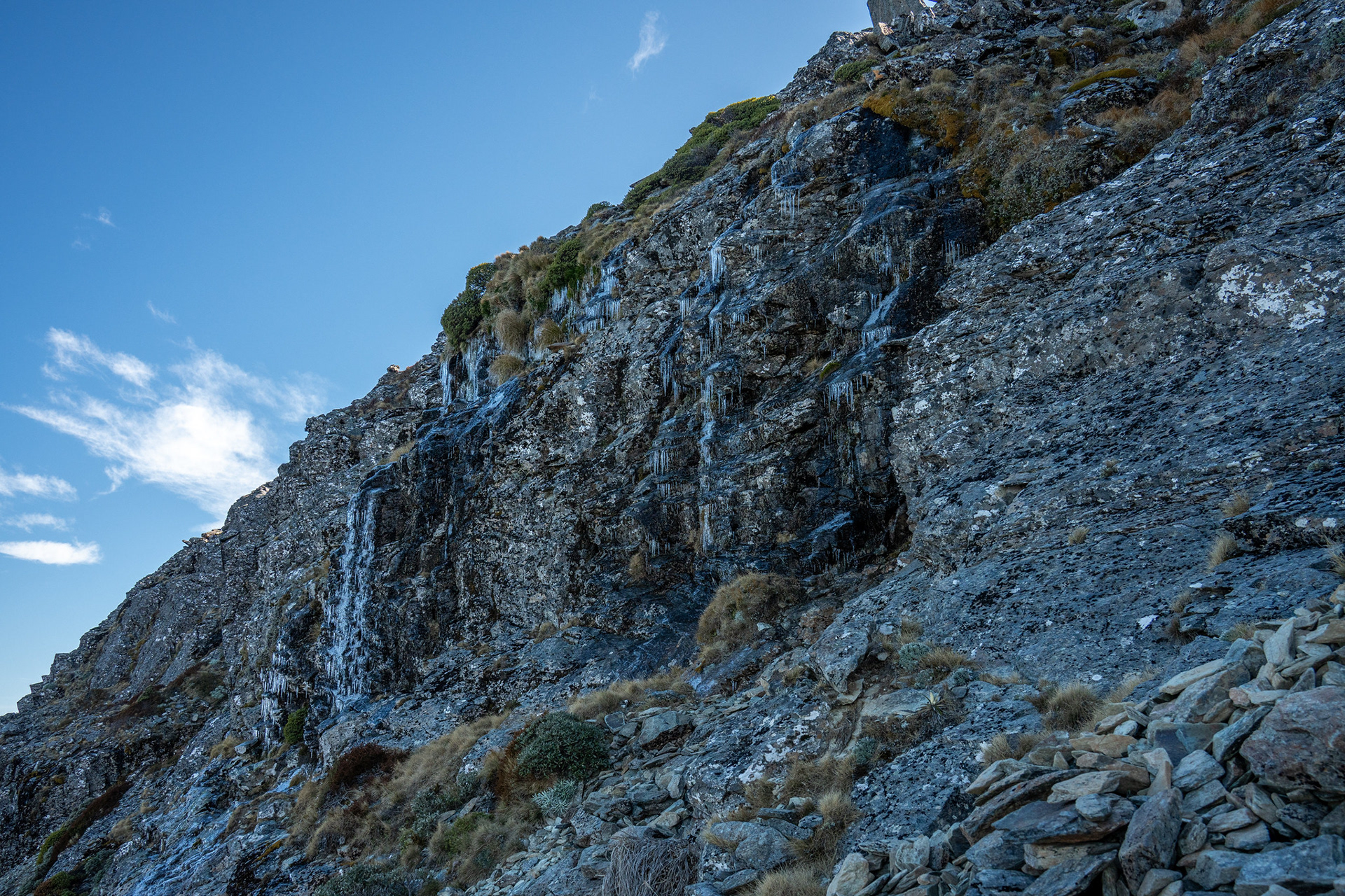
A bit of waterfall ice present, there was also icing in some of the shaded sections of ground trail which made life more interesting.
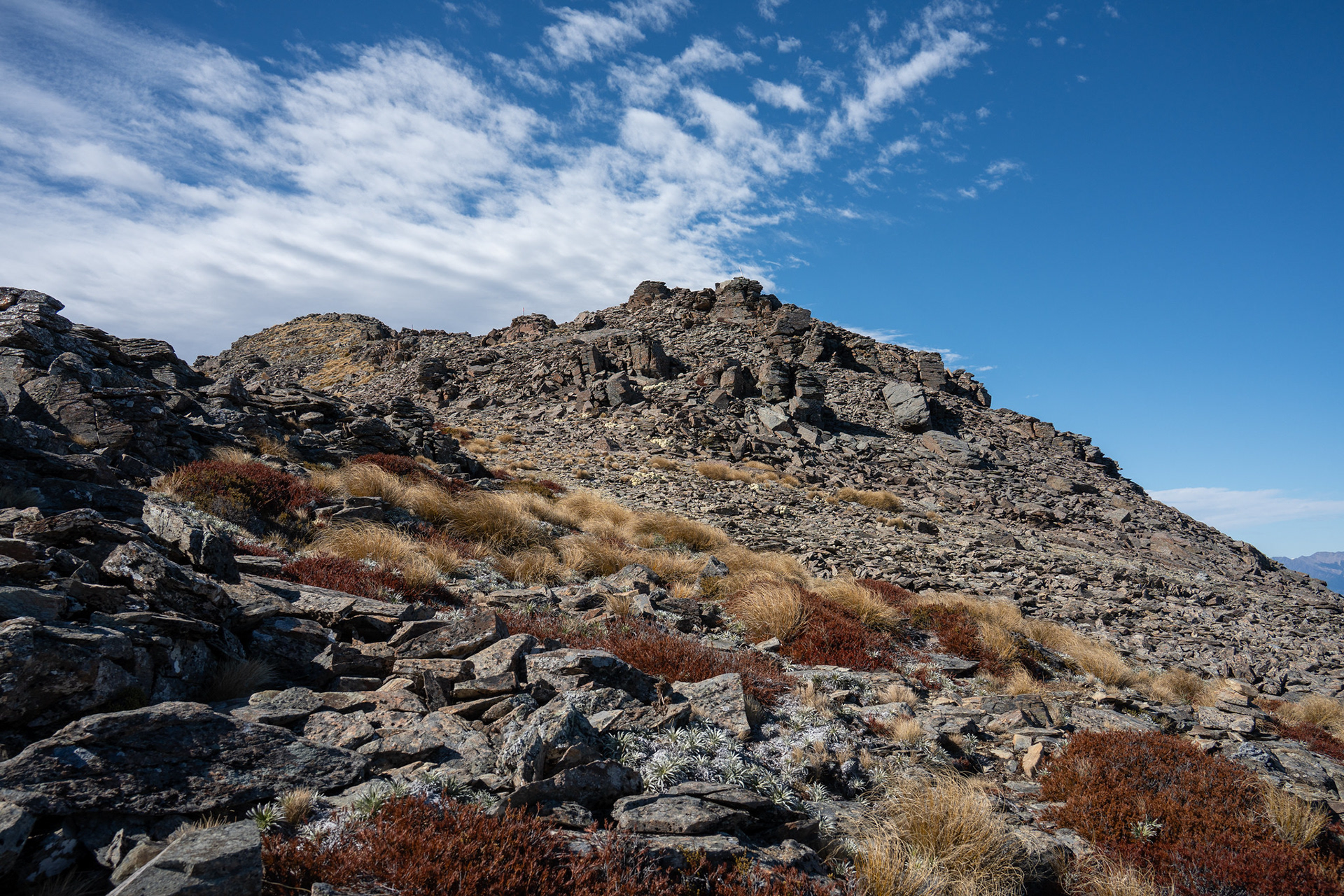
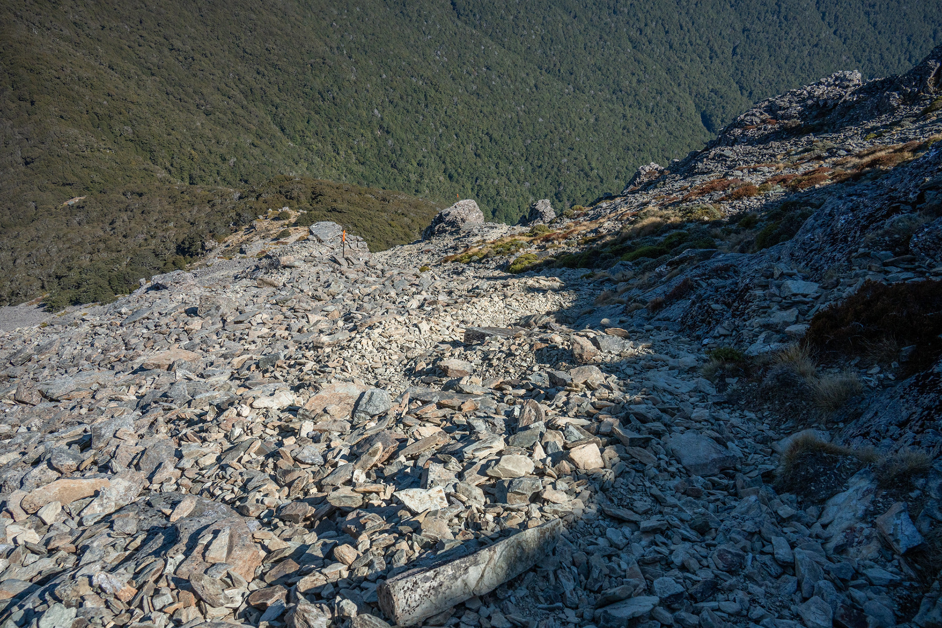
The easier upper slopes, summit ridge on the skyline.
The summit ridge of Richmond.
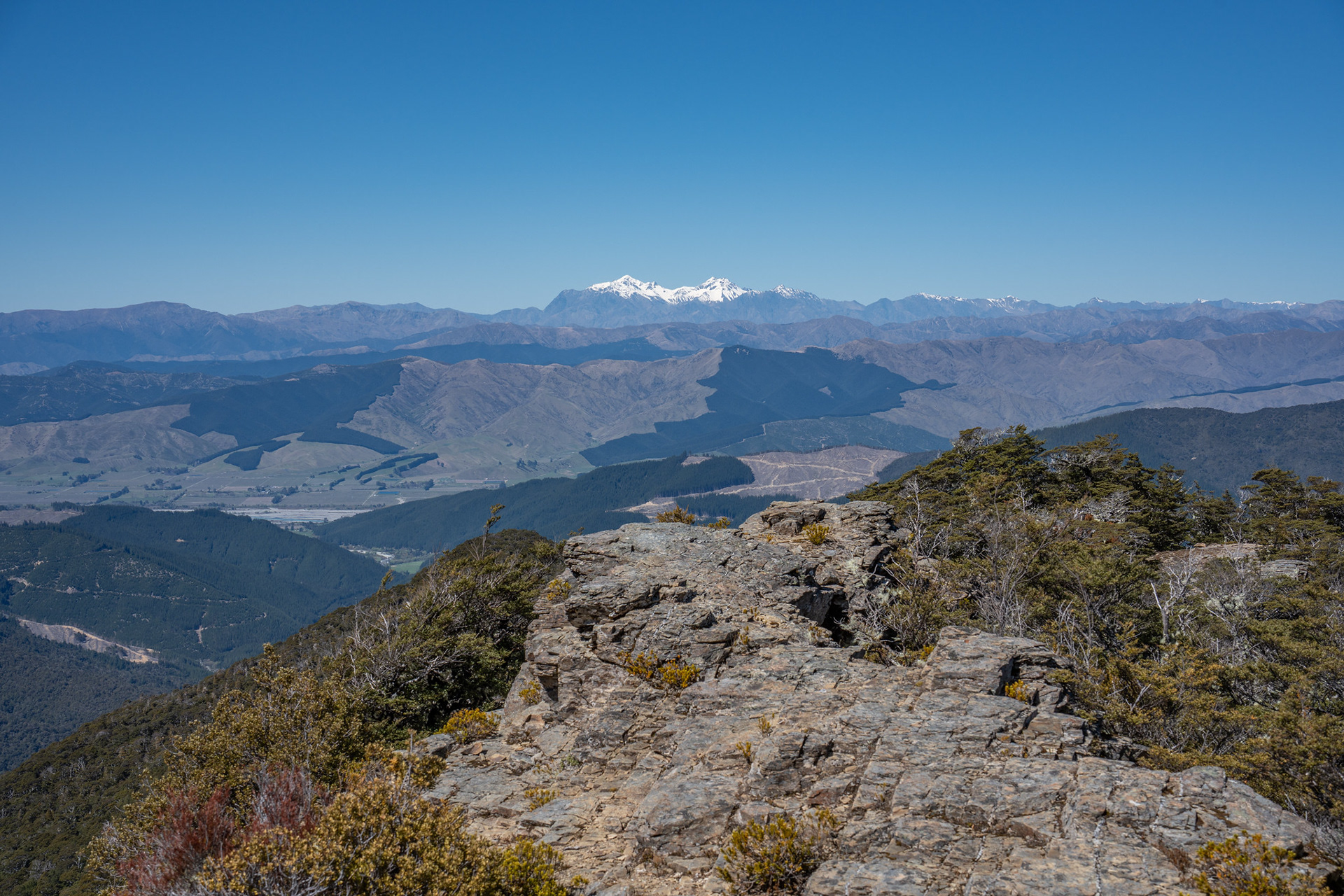
Mt Fell (left) with the wider ranges scattered behind.
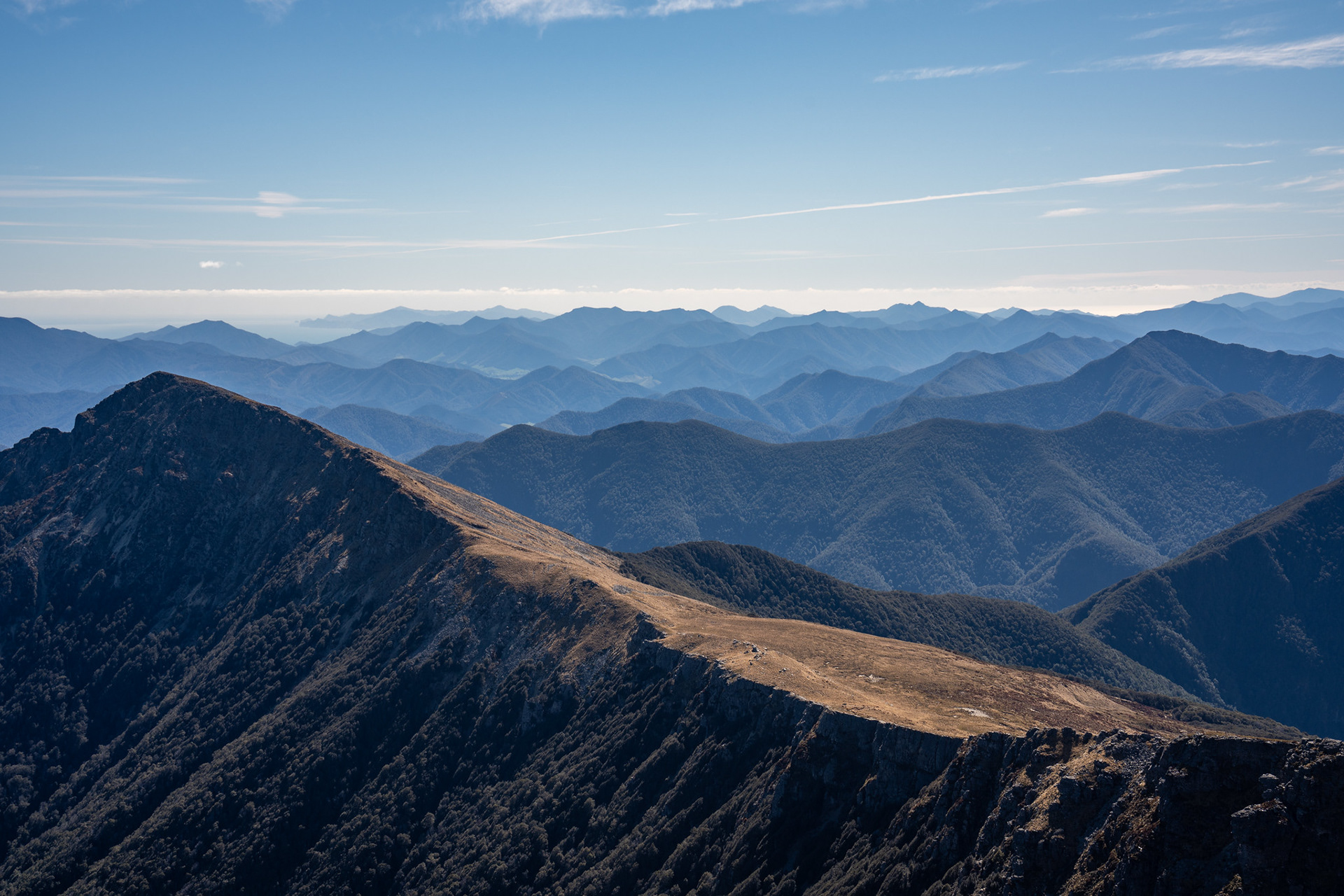
Down the summit ridge, Abel Tasman in the distance.
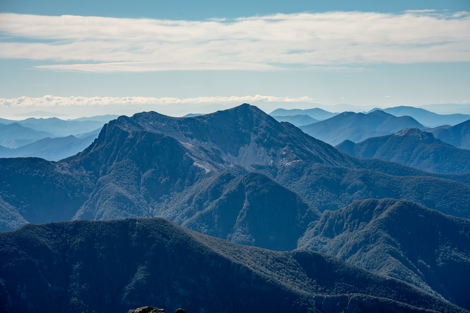
Across to the distinctive Mt Fishtail.
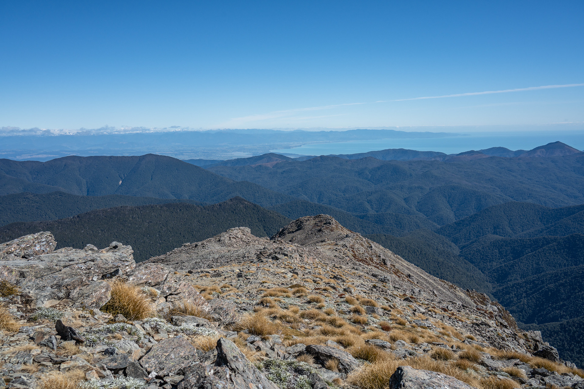
The summit view west, the Red Hills in the distance.
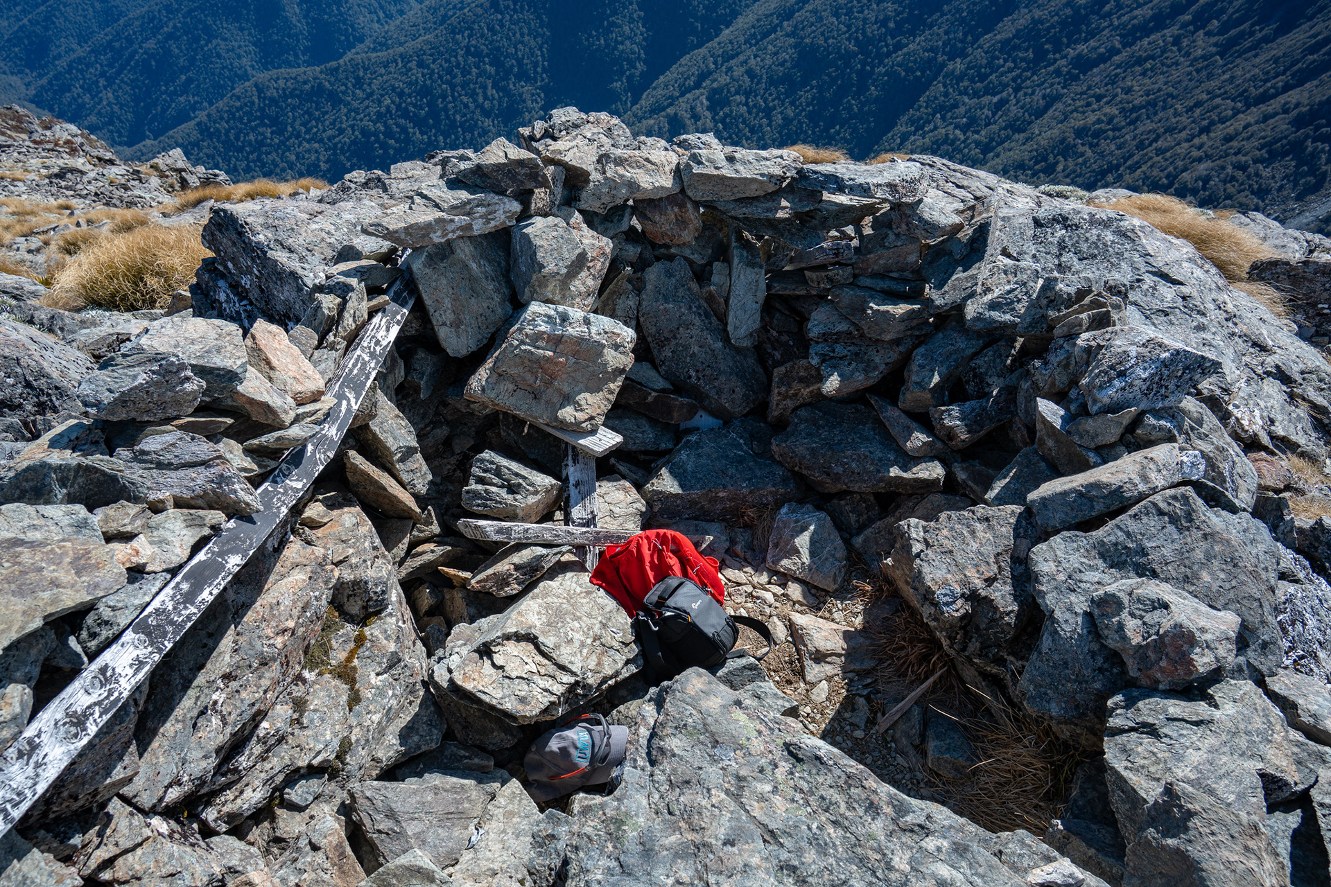
The rock wall on the summit, brilliant protection from the gales.
Approaching the shelter of the bush once more.
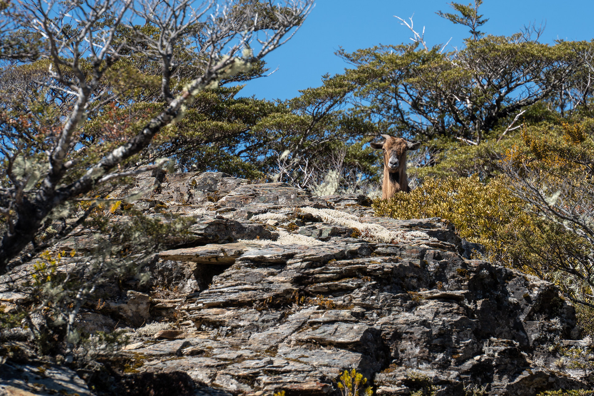
A bit of companionship amongst the outcrops.
Some lovely rock travel on the ridge crest.