Opportunistic trips are often the best. In this case, I was already down in Christchurch for a family gathering and had ended up with a day to spare, courtesy of the cost of flying home on the Monday of a long weekend. My fiancee and I had found accommodation in Diamond Harbour of all places, I was aware that there are walking tracks on Banks Peninsula but had not made any specific plans.
Having passed most of the day in Sumner birdwatching, we eventually ambled over Evans Pass and began the drive out to our accommodation. We arrived around 2:40pm, checked in and began the afternoon laze. I was pretty peopled out after the crowds in Christchurch, but felt like I should do some exercise (it had been a month) and checked the forecast which suggested it would rain the following morning. The weather wasn't exactly inspiring at the time, but the Mt Herbert walkway starts not far from where we were staying so I was out of excuses to do nothing.
It was a bit of a schmozzle in terms of preparation, to be honest. I didn't have any shorts with me, nor a running vest and it was 3:15pm by the time I was ready to go. Sunset was around 5pm, Tray offered me a headlamp but I figured it was about 900m of climbing on farmland which is what, an hour up and a bit less down? I did check after the fact and DOC says "a full day" and "6 - 8h return", which to make matters worse is measured from the upper carpark about a kilometre away and 100m higher than where we were staying. Good thing I'm bad at researching or I might have been worried.
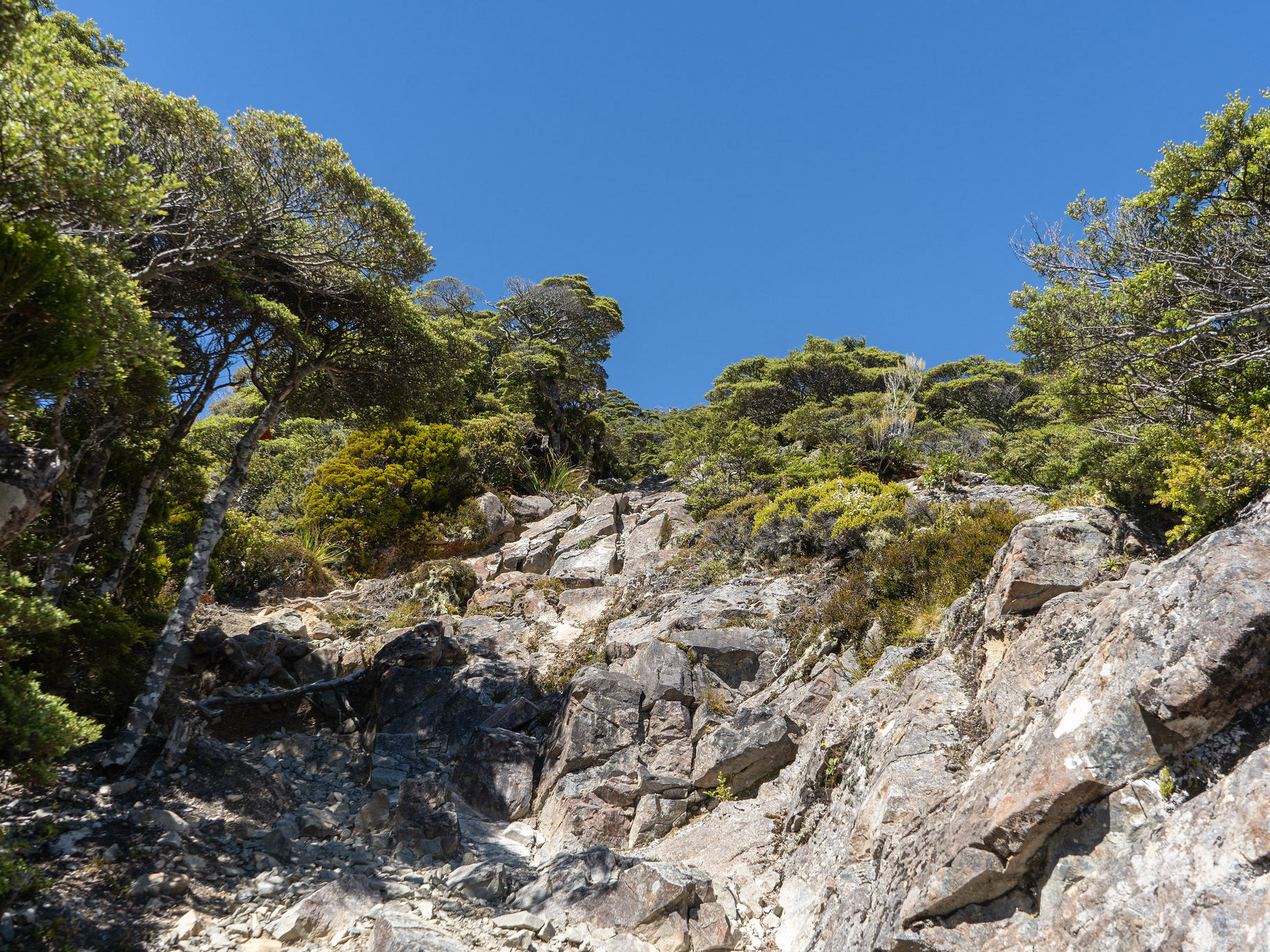
I decided to go the long way around initially, dropping into the adjacent gully to find the vegetated route in lieu of road travel. I managed to regret that almost immediately after realising that the drop into the gully sheds maybe 30m of elevation which had to be reclimbed, but alas. The actual trackline by the stream is lovely and easy, it's a nice little bit of the wilderness before the rest of the track is just pastoral. Breaking out onto the upper road crossing, the track enters farmland and basically just climbs. There is a signpost that indicates it's 7km from the road crossing to the summit, a bit more than I was anticipating.
There's not really a lot to describe for the route. It initially awkwardly climbs on an ascending sidle along the true right of a spur, before basically meandering through faces and vague spurs with a 4WD track sometimes visible to the right. The route is poled and a ground trail exists for most of it, though you do sometimes need to look carefully for the markers in an at times featureless landscape.
There is some gully travel a few kilometres in, then a leftward traverse across a (dry) depression and a small lake which held a couple of paradise shelducks. The route steepens slightly higher up and the relents, basically marching onwards and upwards while never being too steep. I found it hard going, but more because I do so little these days - aside from Travers Sabine in late February and Mt Taranaki during ANZAC weekend, I don't think I've done any tramping since Christmas.
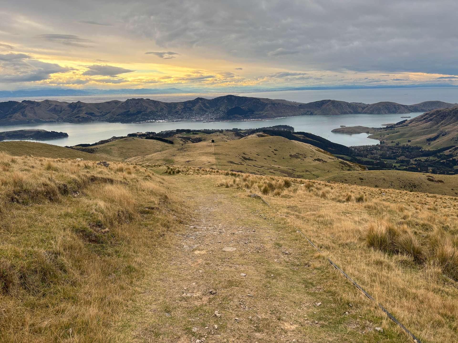
Looking back down the Mt Herbert Walkway from about two thirds of the way up.
The summit dome soon came into view, with some scratchy vegetation for a change and then the summit cairn. The views are nice, though most of the scenery is looking back into Lyttelton Harbour and beyond. These same views can largely be had from halfway up, so if you're just after a looksie you can probably turn around a bit earlier.
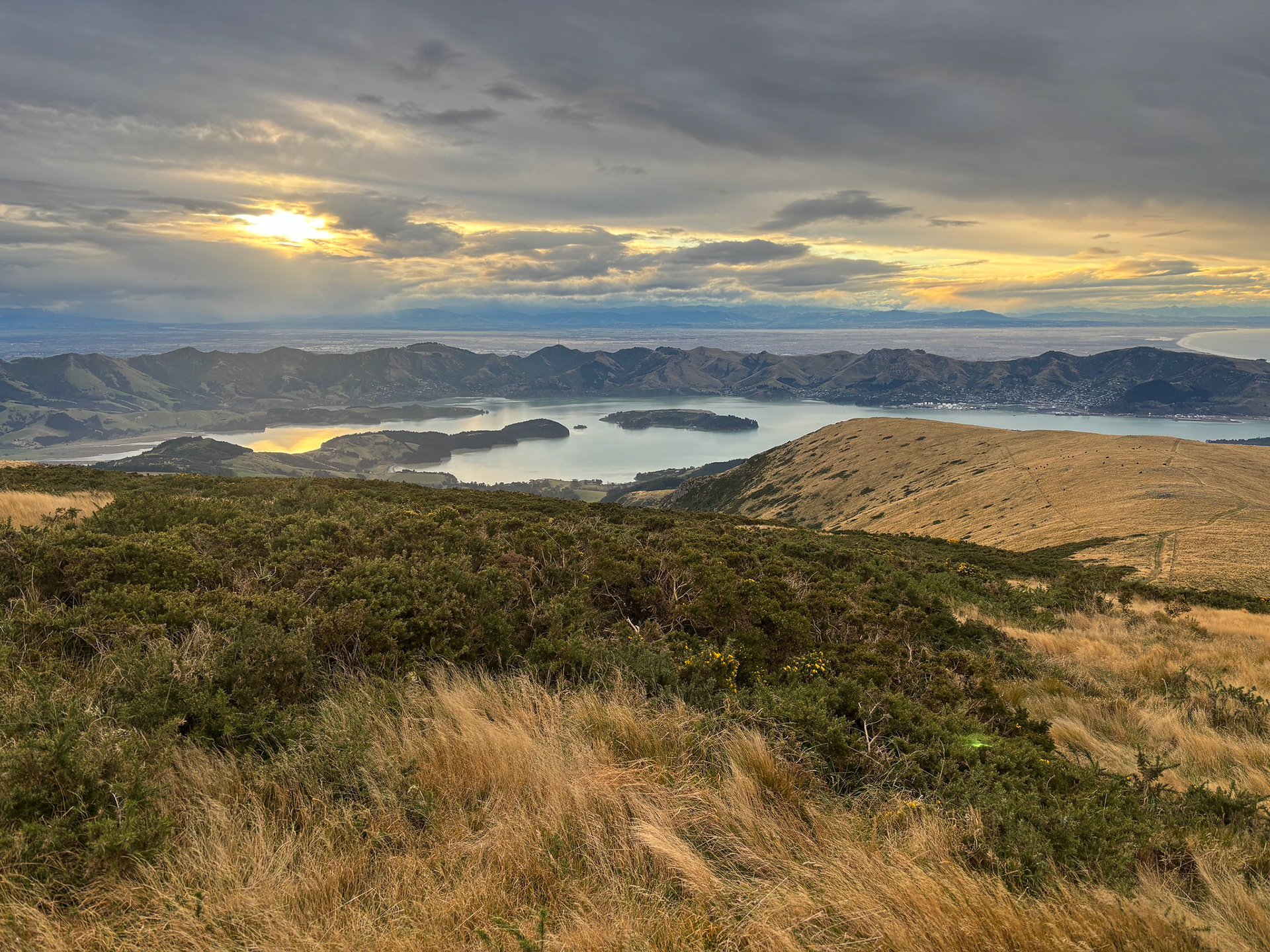
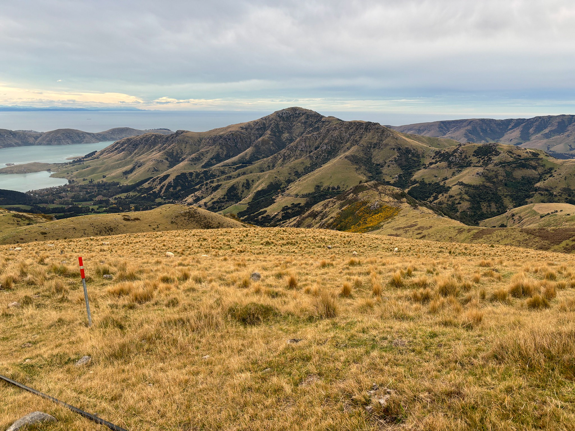
The main view of the walk, looking back over Lyttelton Harbour towards the eastern ranges of the alps. This is taken from slightly below the summit, as the flat summit region precludes being able to see the harbour itself.
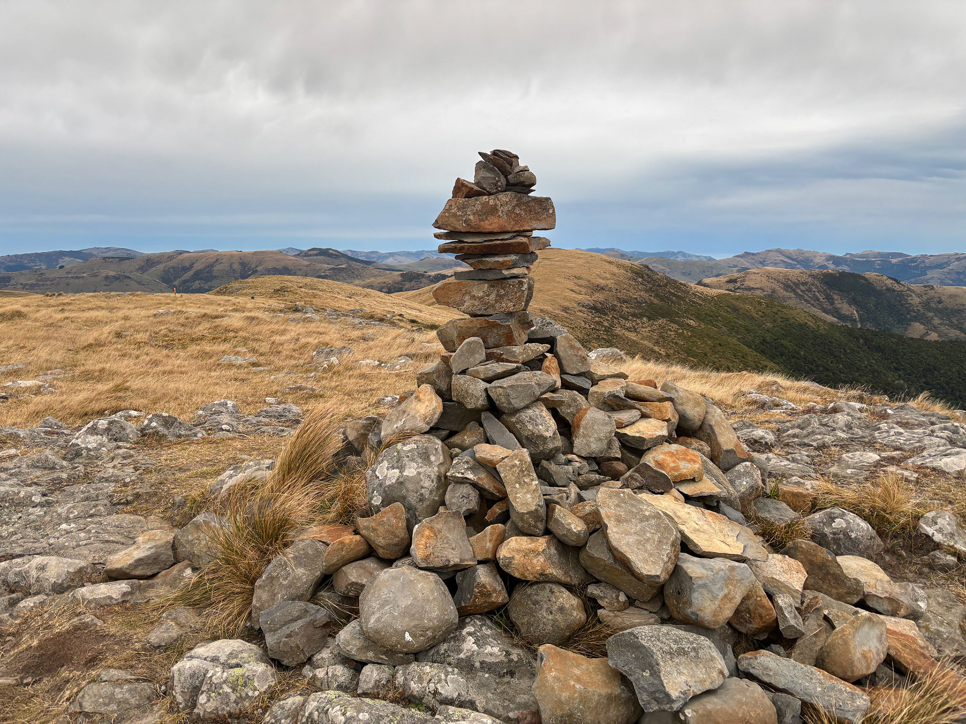
The summit cairn on Mt Herbert.
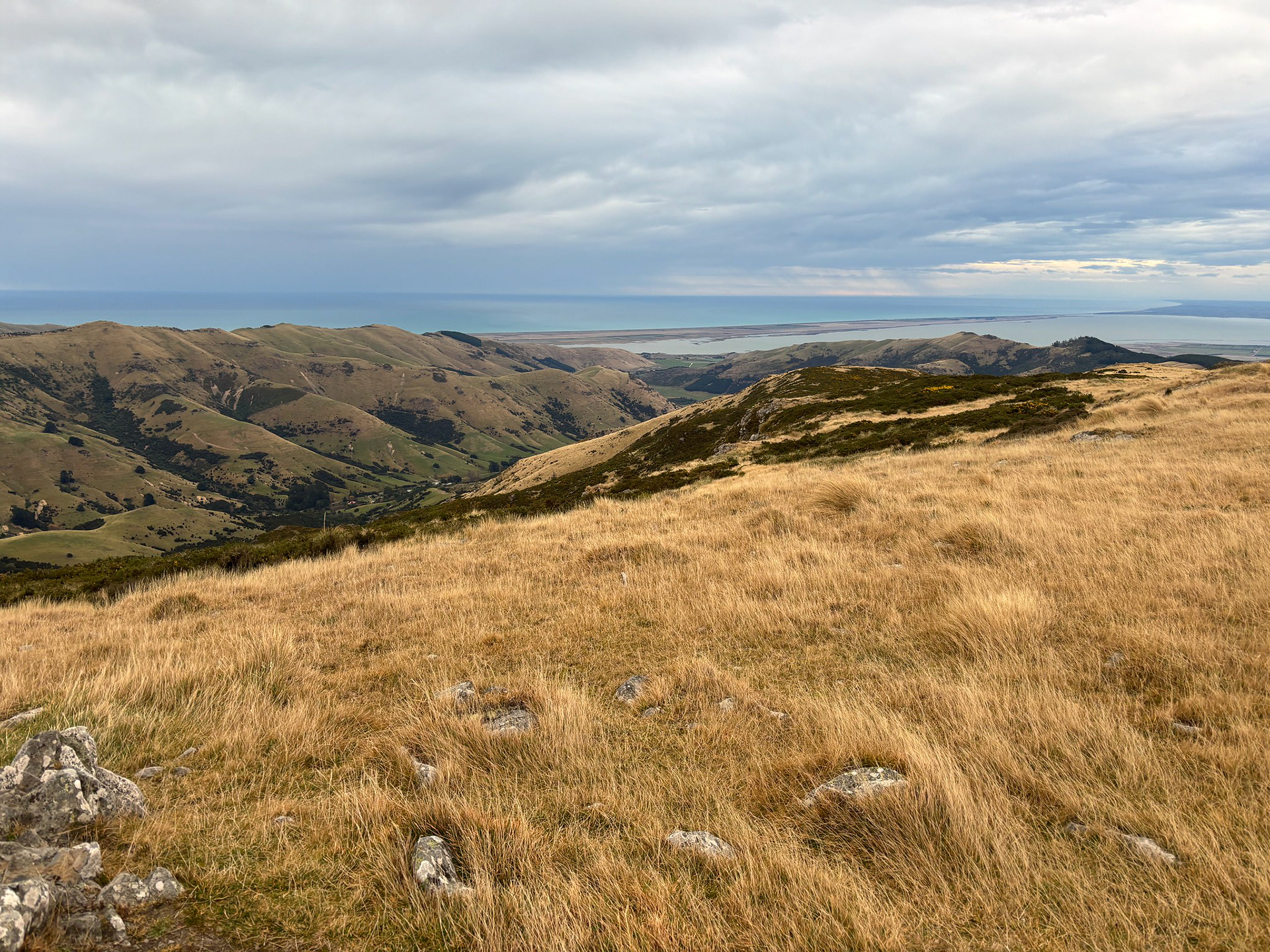
Looking out towards Lake Ellesmere and Kaitorete Spit.
I descended the same way as the sun was low in the sky, but you can swing west from the summit and visit a shelter (or exit to a different roadend). The descent was nice in the fading light, even if it did eventually get dark enough that I struggled to see the markers in the open landscape and had to carefully follow the footpad.
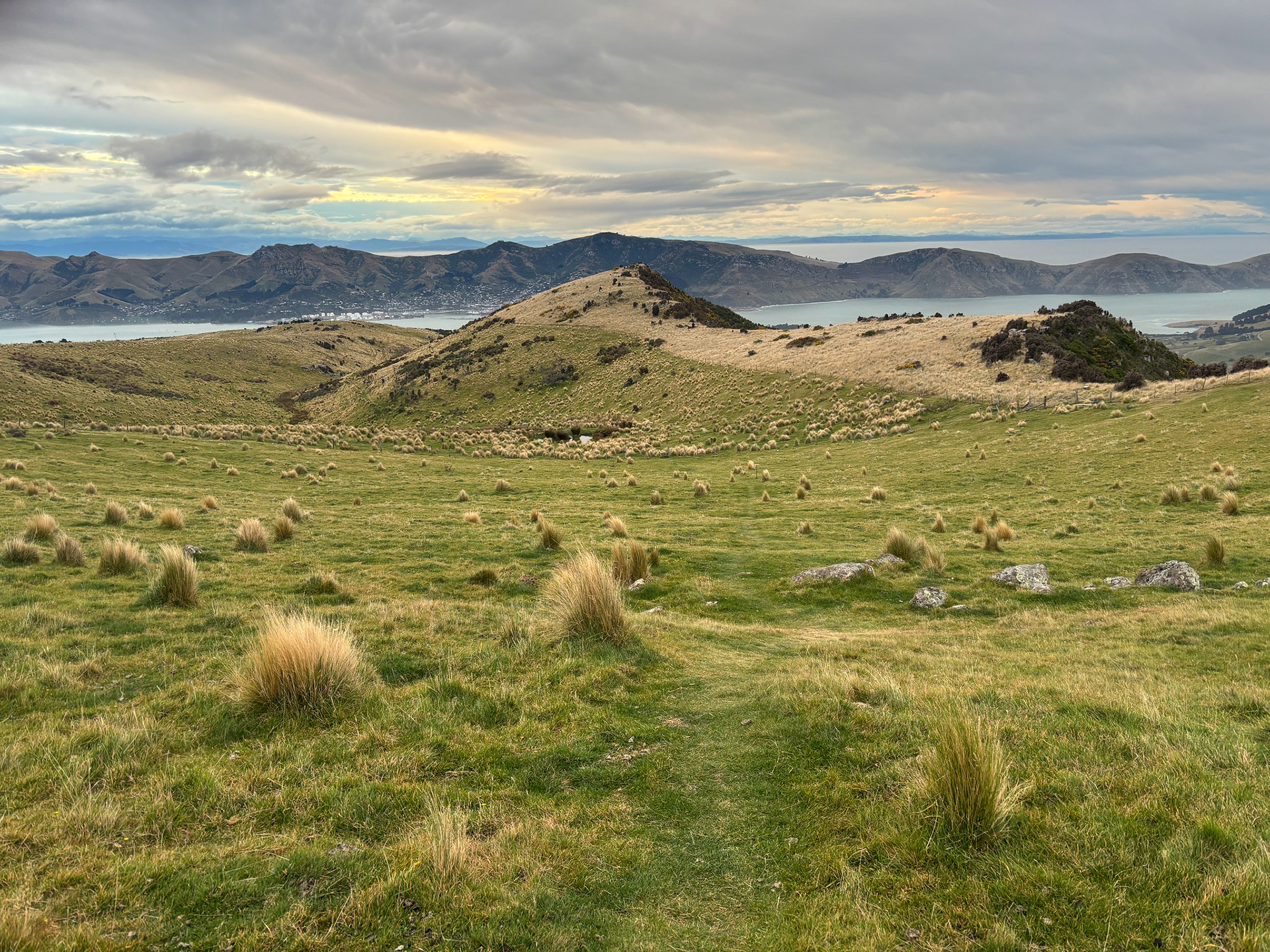
A glimpse across to Mt Evans.
Entering the grassed section with the small pond upcoming.
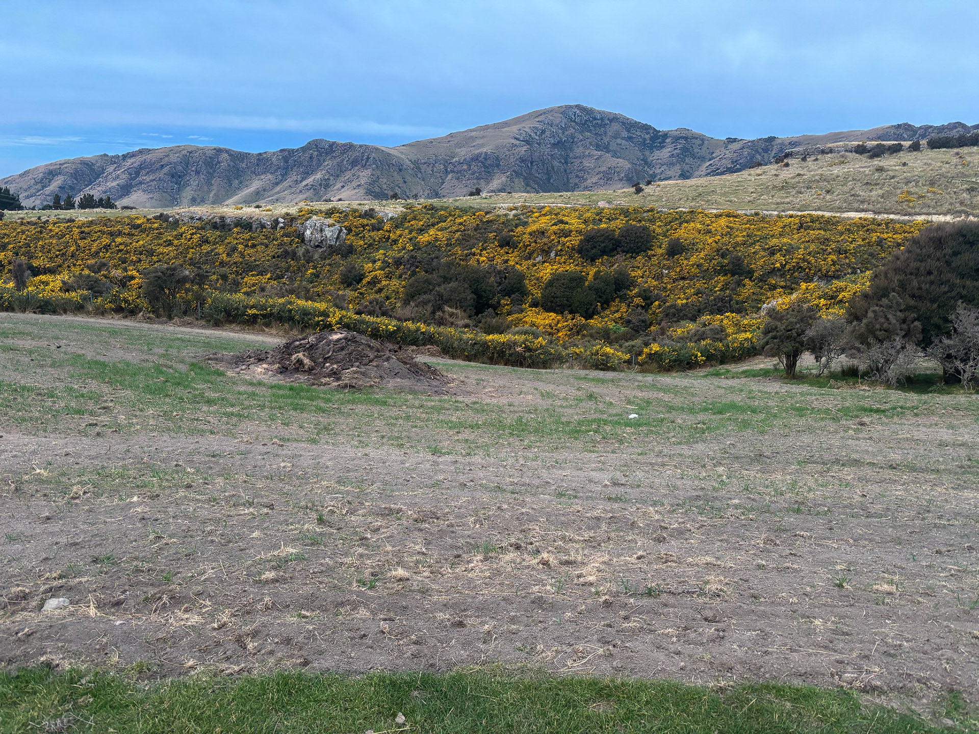
A lot of the gullies in the area are choked with gorse.
I did miss the official sunset, but told myself I would still get up and down in under 2h. It was a bit of a cheat measurement, as I tend to pause my watch when I've stopped for photos, summit relaxing or sometimes just when I'm feeling old and tell myself I'm totally stopping to check my phone GPS and ensure I'm still on the right route. That looked on until I botched the road navigation on the way home and turned back towards Lyttelton rather than heading right towards the jetty and my accommodation. Not a big deal, I soon realised the footpath looked suspiciously similar to what I'd encountered earlier and righted my wrong and headed back to the motel - 2:01, reasonable time all things considered.
Mt Herbert is actually a neat walk. It's not a spectacular alpine adventure, but it's a decent workout close to Christchurch and gets some metres and views in without taking all of the day. You can easily reach the start by getting the ferry from Lyttelton to Diamond Harbour - next time I'll allow more time and make a loop of it.