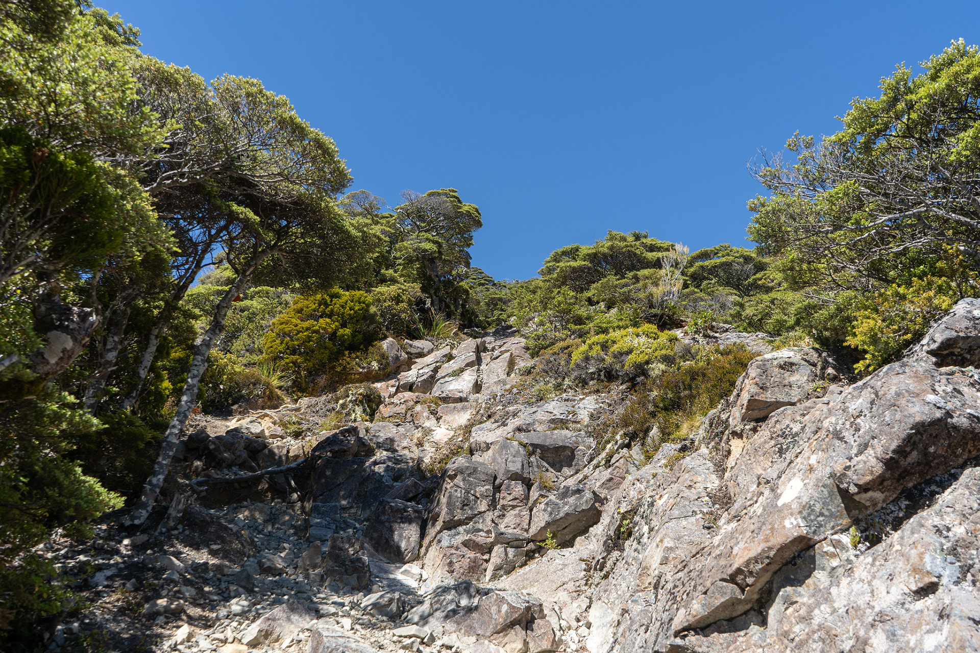
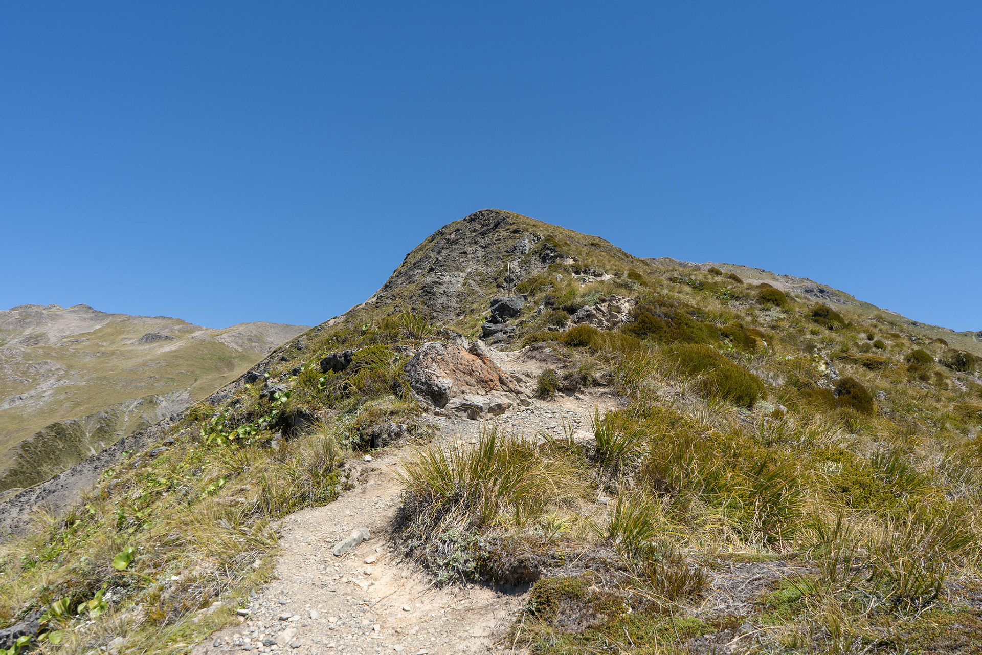
A rocky section of track on the climb to Avalanche Peak.
Looking across to the gentle contours of Arthur's Pass proper.
Across to Mt Cassidy, the Cons Track comes up the spur on the bottom left.
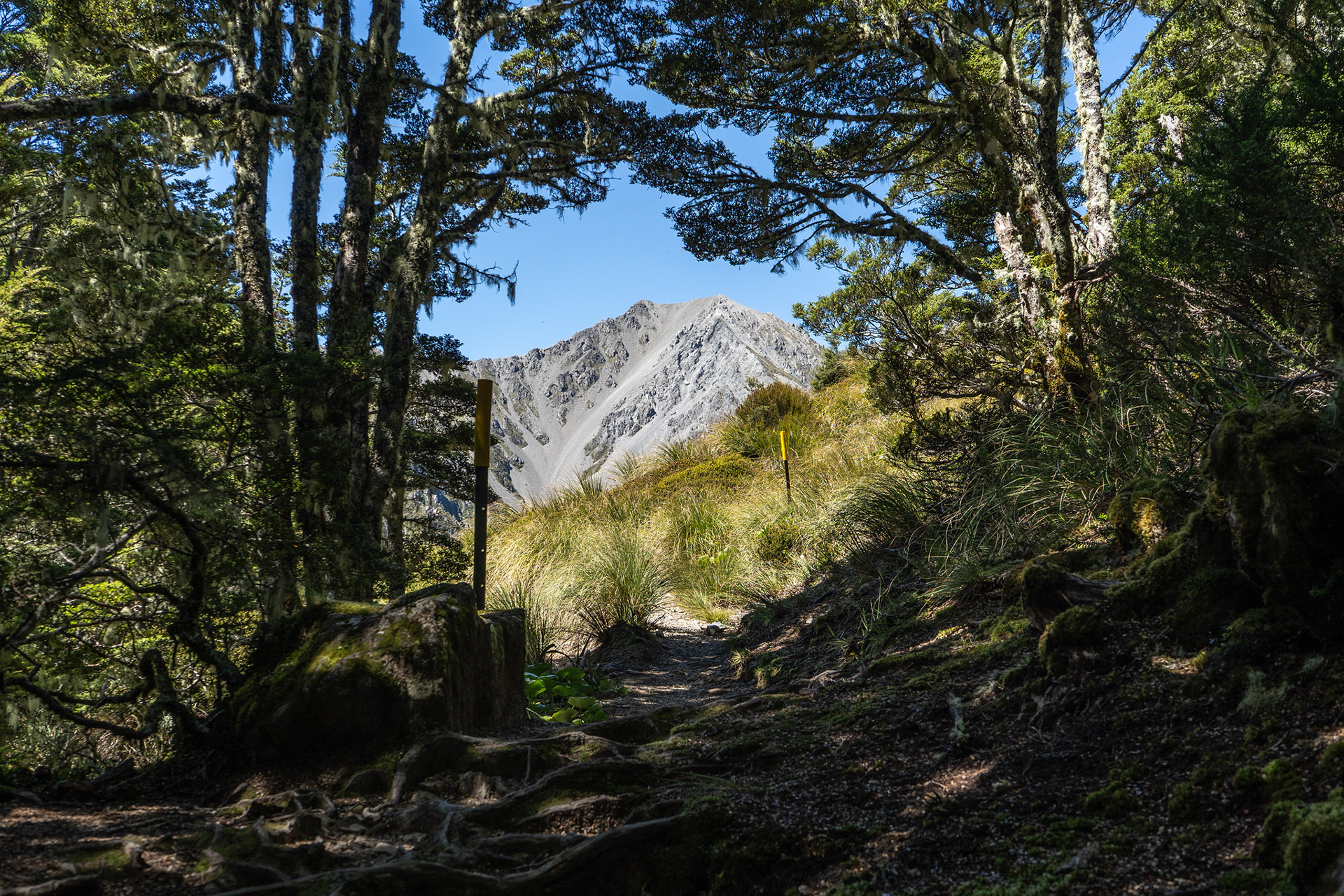
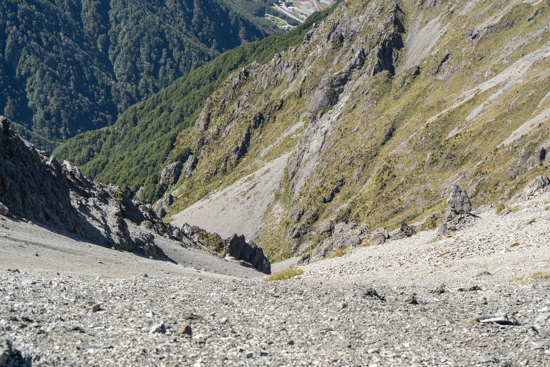
Looking through the last of the canopy, pt. 1760 with the Rough Creek scree run beyond.
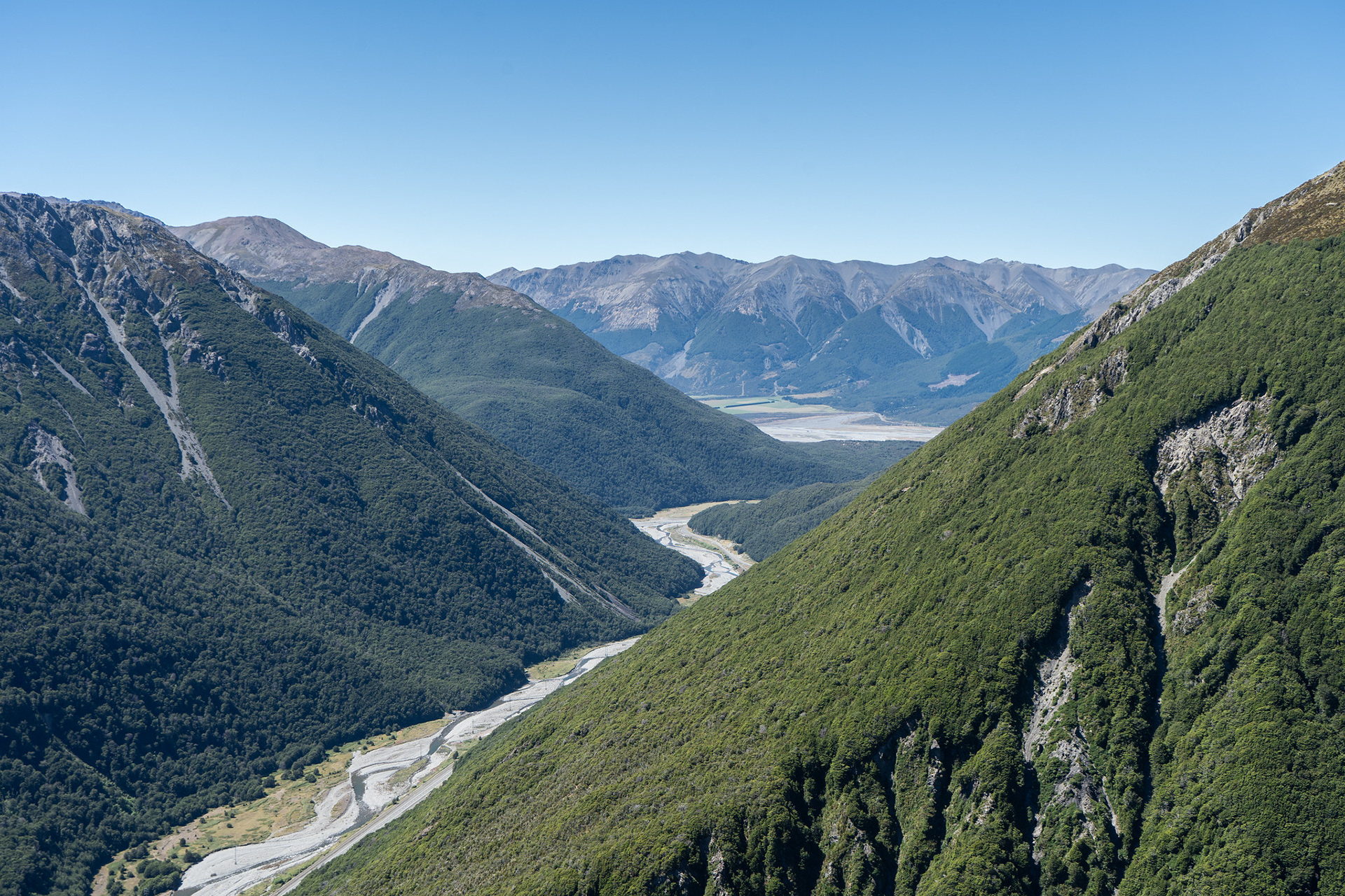
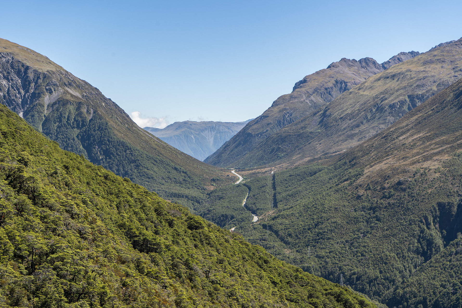
Looking down the Bealey Valley to the confluence with the Waimakariri.
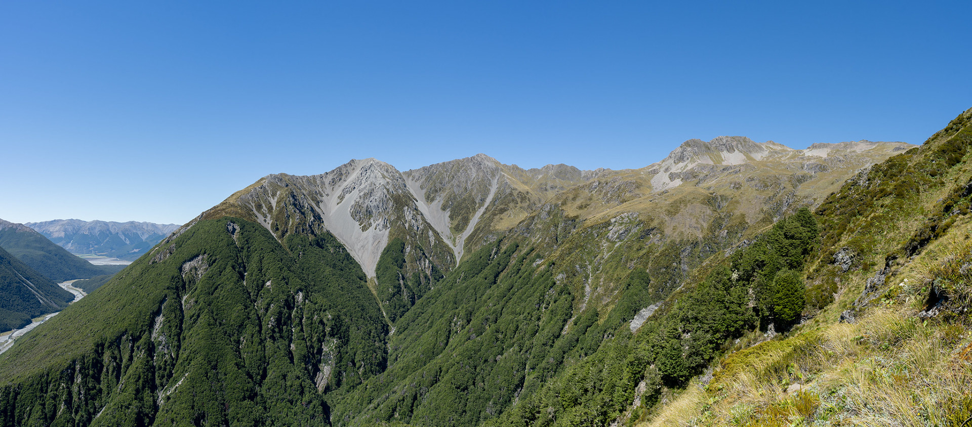
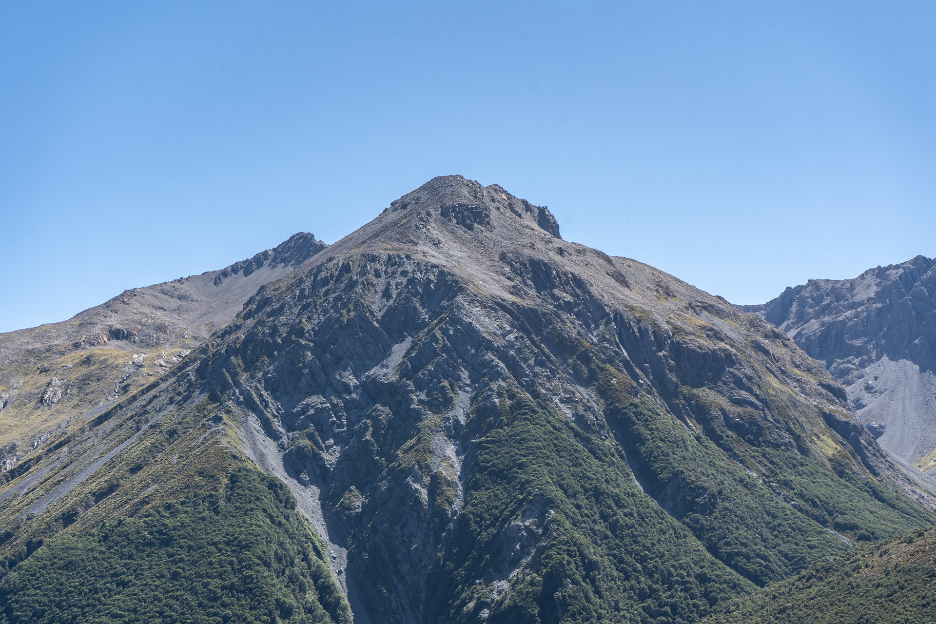
Wider view ahead - Lyell is the high point centre right, Bealey the triangular peak in the centre.
Wandering the well formed route up towards the summit of Avalanche Peak.
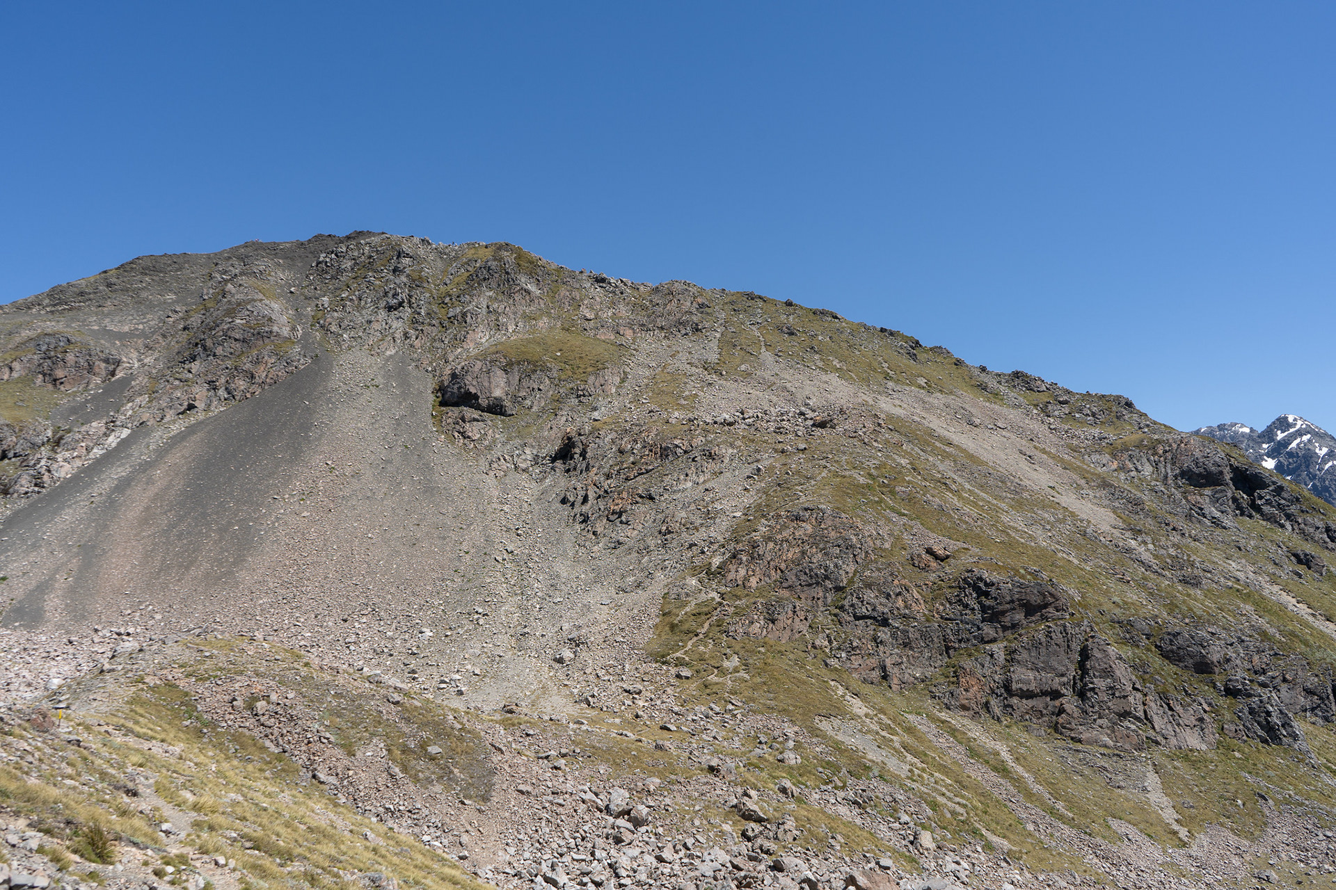
The final approach to the summit ridge, the trackline visible centre right sneaking between the cliff bands.
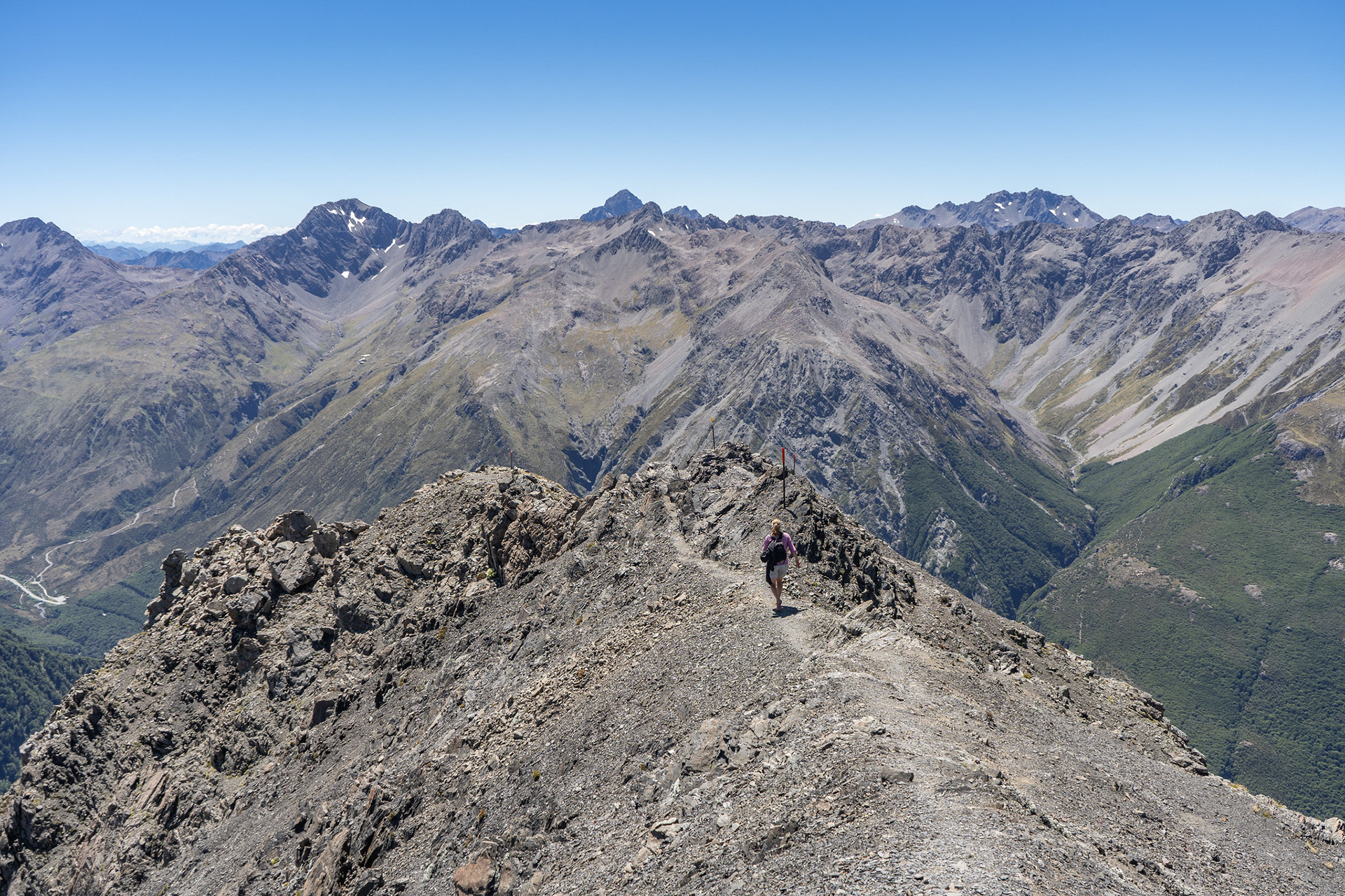
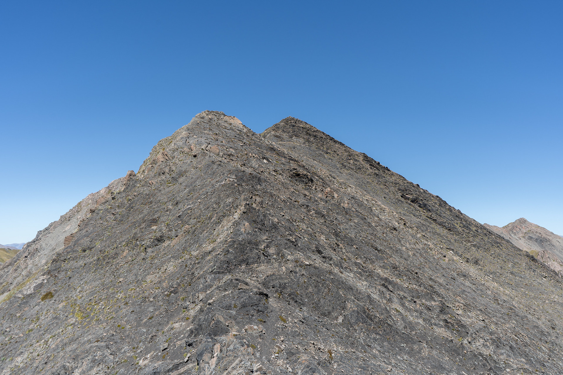
Looking back down the summit ridge of Avalanche Peak.
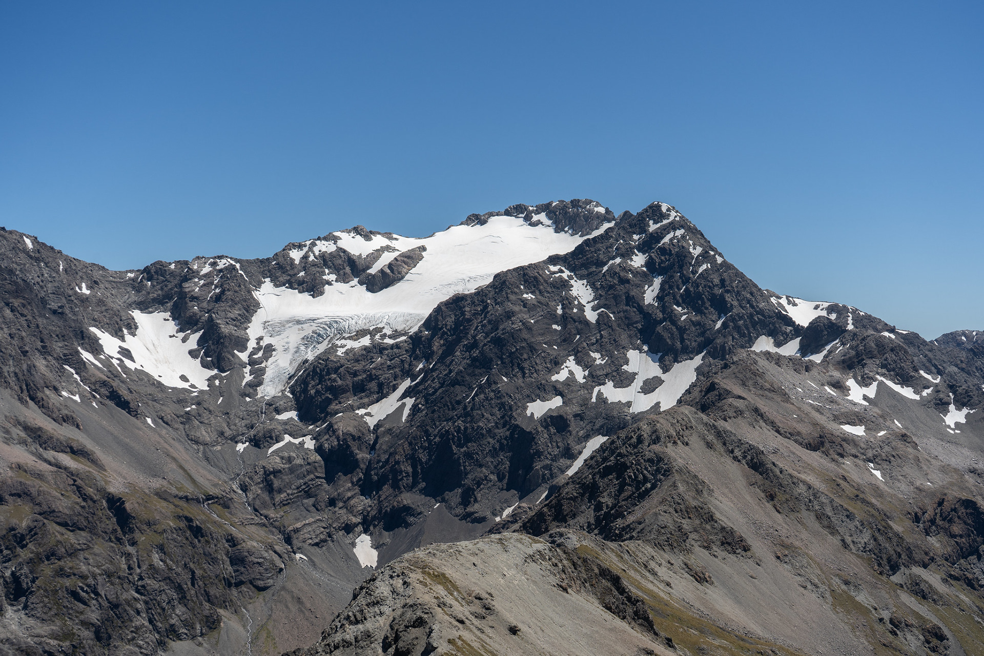
The Crow face of Rolleston.
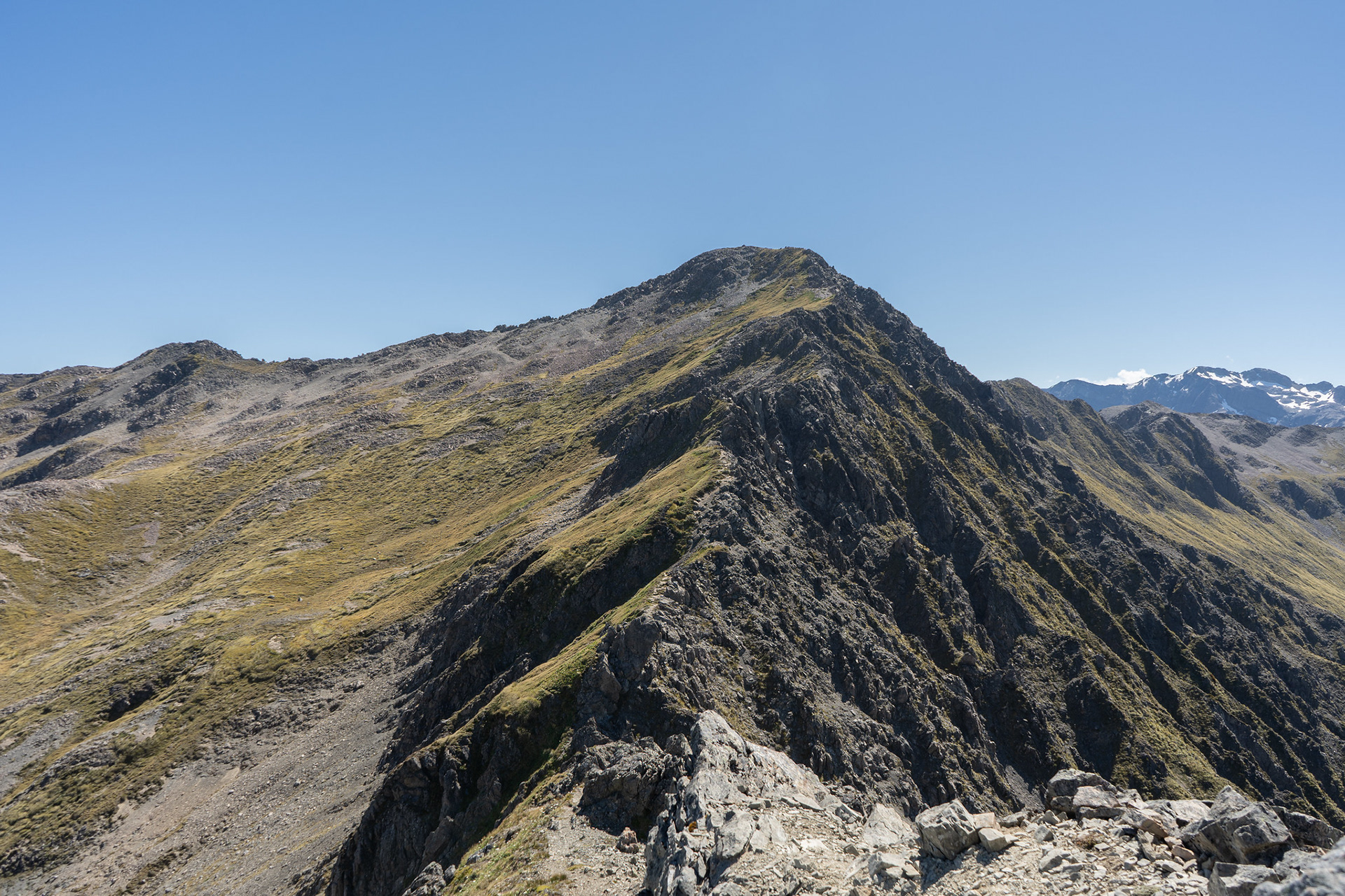
Heading across to Mt Lyell on a beautiful Canterbury day.
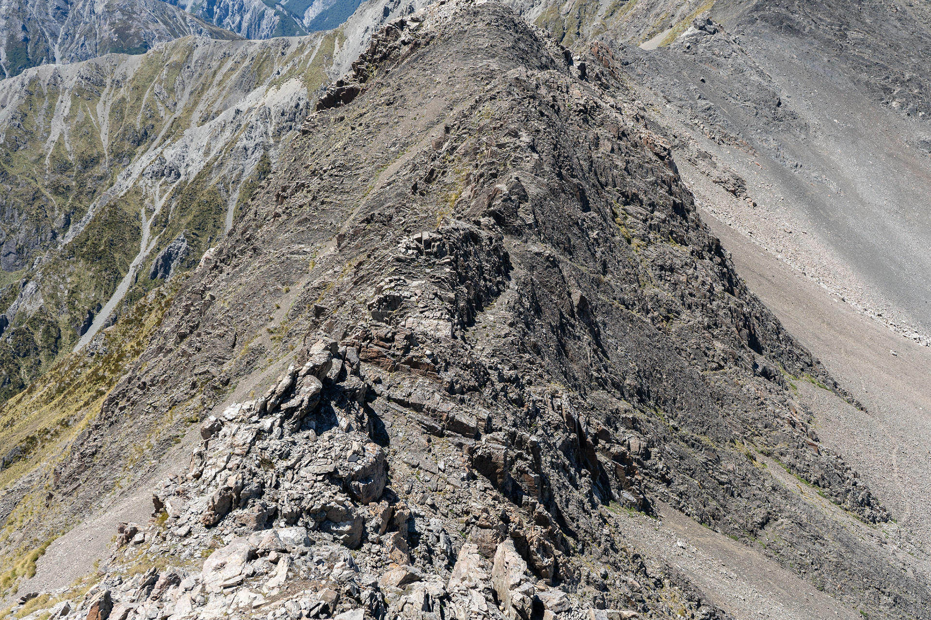
The broken section of ridge, obvious ground trails to the right.
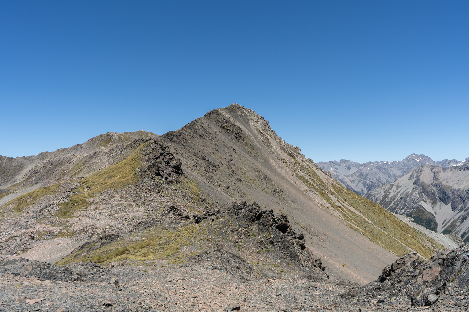
The ridge crest beyond, easier travel but still quite loose and ugly.
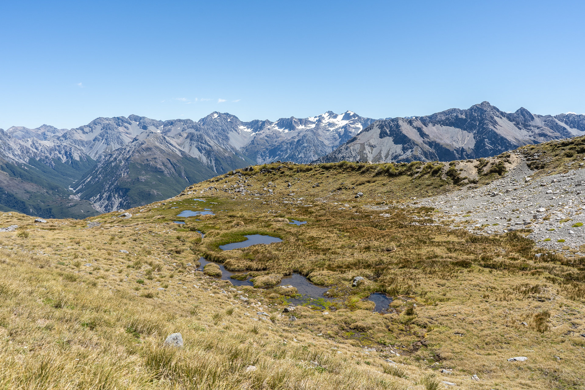
Tarns in the basin south of the ridge, Mts Greenlaw and Harper prominent behind.
Looking back to Mt Bealey from near pt. 1760, the descent looks involved but it's not bad on the ground.
Dropping down excellent scree into Rough Creek.
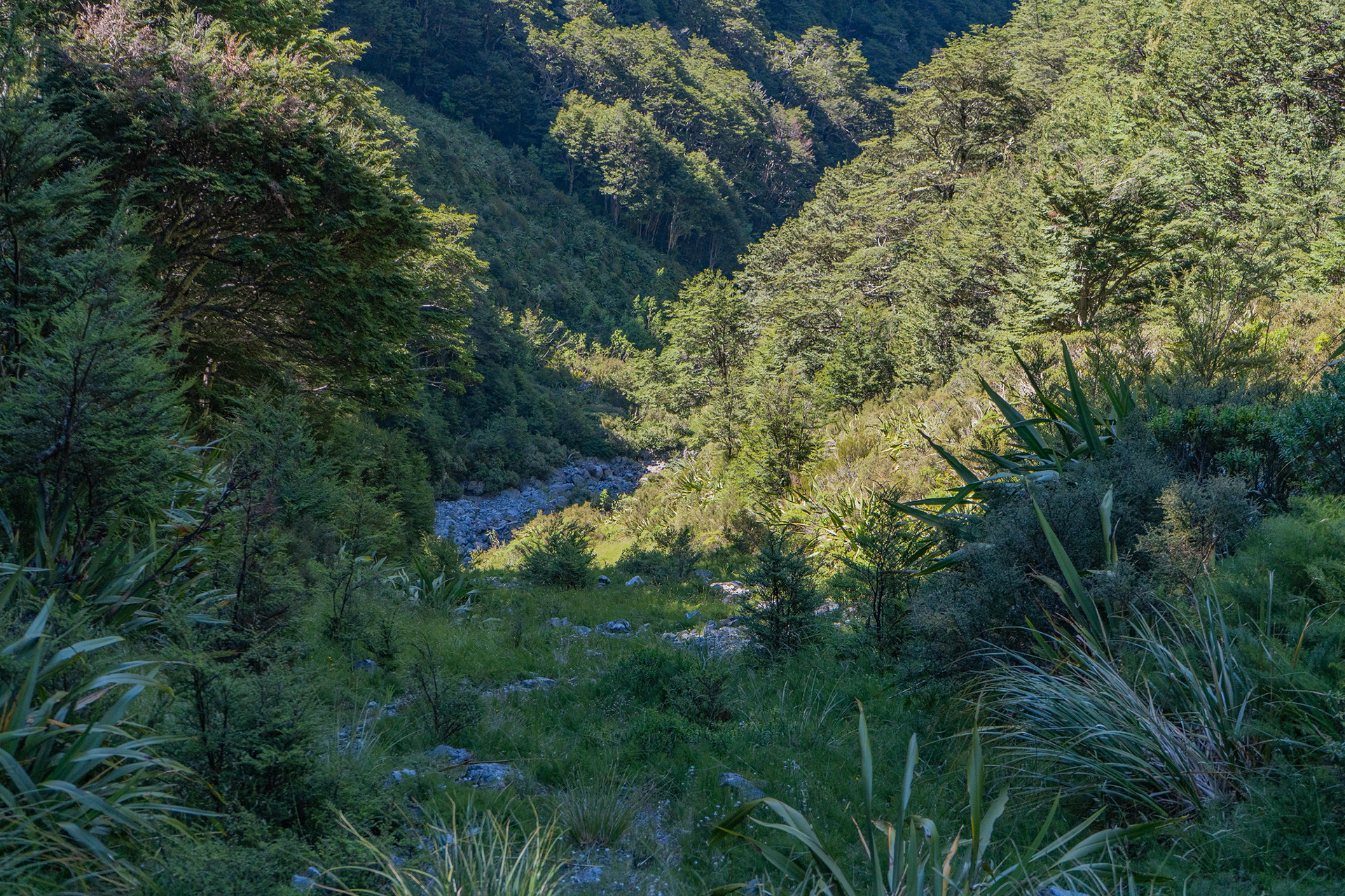
Some minor vegetation to pass before gaining the creekbed proper.
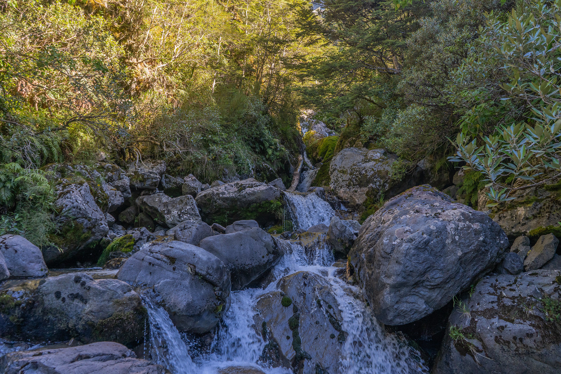
Rough Creek, confined in places.